Shop
Showing all 1000 results
-
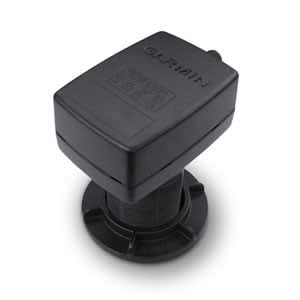
Intelliducer, NMEA 2000® (13-24° Tilt)
$305.00 Add to cartOverview
This intelliducer enhances your boat's marine instrumentation capabilities by providing both depth and temperature data to your NMEA 2000 Garmin digital marine display or chartplotter.
The 150 W thru-hull mount has a maximum depth of 900 ft; an operating frequency of 160 kHz; and mounts on a 13 to 24 degree deadrise.
Transducer kit comes with installation instructions. Follow the instructions carefully to avoid damaging your boat.
-
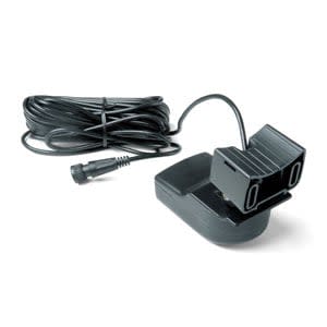
Transom Mount Intelliducer, NMEA 2000®
$329.00 Add to cartOverview
This intelliducer enhances your boat's marine instrumentation capabilities by providing both depth and temperature data to your NMEA 2000 Garmin digital marine display or chartplotter.
The 150 W transom mount has a maximum depth of 900 ft; an operating frequency of 160 kHz; and mounts on a 0 to 22 degree transom.
Transducer kit comes with installation instructions. Follow the instructions carefully to avoid damaging your boat.
-
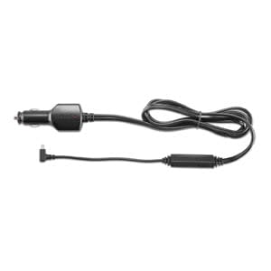
GTM™ 36
$99.00 Add to cartOverview
This combination traffic receiver and 12 V power adapter provides traffic information to your compatible Garmin device so you can route around accidents, construction and other obstacles to save you time.
- No separate traffic subscription required
- No monthly or yearly renewal fees
-
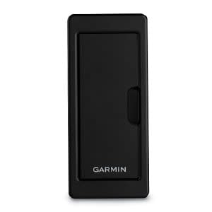
Garmin Card Reader
$249.00 Add to cartOverview
Provide convenient remote mounting and a single access point for 2 SD™ card slots for mapping with our Garmin Card Reader. A waterproof, magnetic door allows the card reader to be mounted horizontally or vertically - and you can add multiple card readers for additional access points.
-
USB ANT Stick™
$59.00 Add to cartOverview
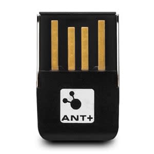
Transfer workout data seamlessly to our free web-based community with this USB ANT Stick.
Simply plug the stick into your computer's USB port, and it will automatically receive your activity data when your compatible fitness device is within range.
-
GPS 73
$279.00 Add to cartOverview
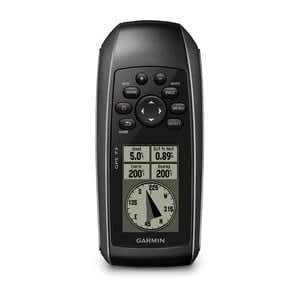
Easy-to-use GPS Handheld Navigator
- High-sensitivity GPS marks and stores 1,000 waypoints and 100 tracks
- Marks your favorite locations to easily navigate back to them
- Garmin SailAssist™ for GPS 73 includes virtual starting line, heading line, countdown timers and tack assist
- Sunrise/sunset, estimated time of arrival, other calculations and marine data
- Built-in backlight
This easy-to-use handheld is the perfect navigational solution for boats, sailboats or small watercraft that do not have a chartplotter. It’s also ideal as an important emergency navigation backup for all vessels. Its high-sensitivity GPS marks and stores 1,000 waypoints and 100 tracks so you can navigate right back to them. Use on land or water — it floats! Features SailAssist, including virtual starting line, heading line, countdown timers and tack assist.
Quickly Acquires Satellites
High-sensitivity GPS receiver quickly locks onto GPS signals and tracks your location even in challenging locations, such as deep canyons or under heavy tree cover.
Mark Important Waypoints
Whether it’s a hot fishing spot or a lobster pot, you can mark and store 1,000 waypoints and 100 tracks to navigate to and from time and time again.
SailAssist
SailAssist helps you sail more effectively with heading line and tack assist. Tack assist lets you know when to tack based on whether your boat is getting headed or lifted compared to the boat's optimal tacking angle. For those who like to race, there’s virtual starting line and countdown timer to make sure you cross the starting line at the right time.
Store Important Data
GPS 73 is NMEA 0183 compatible. To transfer data to your device, it easily connects to your computer via USB. If you're into boating, hunting or fishing, you can use the built-in celestial data, which includes sunrise/sunset times and a hunting and fishing calendar, estimated time of arrival, other calculations and marine data.
High-contrast Display
GPS 73 has an intuitive user interface with dedicated back-lit buttons for quick and easy operation. Its high-contrast display makes it easy to read in all lighting conditions.
-
Xero® A1i Bow Sight
$1699.01 Add to cartOverview
READY FOR ANYTHING
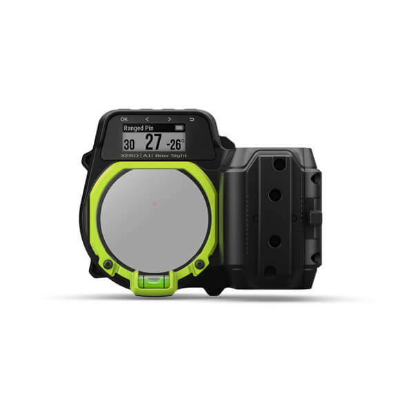
Be ready at a moment’s notice by using our most advanced auto-ranging digital bow sight yet. With a fast and easy to set up, giving you line of sight feedback to take your best shot every time.
No need to guess the distance to your target. This sight calculates it automatically.
Set dual pin colours, so you can find the right distance fast.
Quickly fine-tune your sight for the easiest setup yet.
Automatically creates pin stack to the estimated maximum distance for your bow based on arrow speed, draw length, and arrow diameter.
Easy on, easy off. If you travel with your bow, you’re going to love the quick-detach feature.
One-year battery life means more time hunting and more confidence in your shot.
Set up the perfect shot.
Microadjustments
Microadjustable rails let you make quick, precise changes for elevation, windage and laser reticle alignment.
Automatic pin stack
Calibrate your 18-metre pin, enter your bow speed, draw length and arrow diameter and Xero A1i PRO Bow Sight will automatically create a pin stack to your bow’s estimated maximum distance.
QUICK-DETACH FEATURE
Easily remove the bow sight for travel, then reattach it to its original position in seconds when you’re ready to use it.
Purpose built for the field.
CUSTOMISABLE ARROW PROFILES
Xero A1i PRO Bow Sight saves pin settings for multiple arrow configurations, so you can change from your practice setup to your hunting setup in seconds.
LASER LOCATE™ FEATURE
Dual-color LED pins
Easily identify preset distances by using alternating pin colours for fixed pins.
Laser Range Finder
Get instant angle-compensated distance to game up to 90 metres away or reflective targets up to 275 metres away.
Dynamic level
See levelling information right next to the pin with variable sensitivity based on shot distance, so you don’t have to shift focus to see if your shot is level.
Flight Apex
See a flashing pin above the aiming point that shows the estimated apex of your arrow’s flight.
XTRA DISTANCE MODE
In this mode, you can set your sight in an extended position to show pins out to farther distances.
SILENT TRIGGER
Mount the button in the most convenient spot for your grip. With minimal movement, at rest or full draw, you can range up to 90 metres on game or up to 275 metres on reflective targets.
BATTERY LIFE
Get up to 1 year of battery life — about 25,000 ranges — from 2 lithium AAA batteries (included), so you can go from target practice to hunting season without missing a beat.
-
Xero® A1i PRO Bow Sight
$2199.00 Add to cartOverview
READY FOR ANYTHING
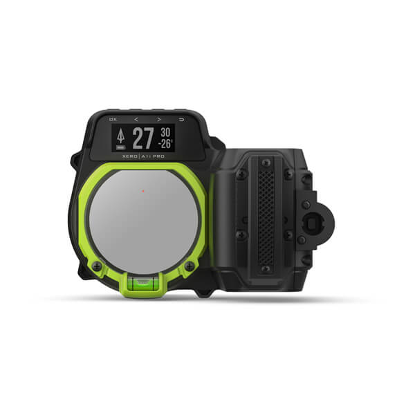
Be ready at a moment’s notice by using our most advanced auto-ranging digital bow sight yet. With a fast and easy to set up, giving you line of sight feedback to take your best shot every time.
No need to guess the distance to your target. This sight calculates it automatically.
Set dual pin colours, so you can find the right distance fast.
Quickly fine-tune your sight for the easiest setup yet.
Automatically creates pin stack to the estimated maximum distance for your bow based on arrow speed, draw length, and arrow diameter.
Easy on, easy off. If you travel with your bow, you’re going to love the quick-detach feature.
One-year battery life means more time hunting and more confidence in your shot.
Set up the perfect shot.
Microadjustments
Microadjustable rails let you make quick, precise changes for elevation, windage and laser reticle alignment.
Automatic pin stack
Calibrate your 18-metre pin, enter your bow speed, draw length and arrow diameter and Xero A1i PRO Bow Sight will automatically create a pin stack to your bow’s estimated maximum distance.
QUICK-DETACH FEATURE
Easily remove the bow sight for travel, then reattach it to its original position in seconds when you’re ready to use it.
Purpose built for the field.
CUSTOMISABLE ARROW PROFILES
Xero A1i PRO Bow Sight saves pin settings for multiple arrow configurations, so you can change from your practice setup to your hunting setup in seconds.
LASER LOCATE™ FEATURE
Dual-color LED pins
Easily identify preset distances by using alternating pin colours for fixed pins.
Laser Range Finder
Get instant angle-compensated distance to game up to 90 metres away or reflective targets up to 275 metres away.
Dynamic level
See levelling information right next to the pin with variable sensitivity based on shot distance, so you don’t have to shift focus to see if your shot is level.
Flight Apex
See a flashing pin above the aiming point that shows the estimated apex of your arrow’s flight.
XTRA DISTANCE MODE
In this mode, you can set your sight in an extended position to show pins out to farther distances.
SILENT TRIGGER
Mount the button in the most convenient spot for your grip. With minimal movement, at rest or full draw, you can range up to 90 metres on game or up to 275 metres on reflective targets.
BATTERY LIFE
Get up to 1 year of battery life — about 25,000 ranges — from 2 lithium AAA batteries (included), so you can go from target practice to hunting season without missing a beat.
-
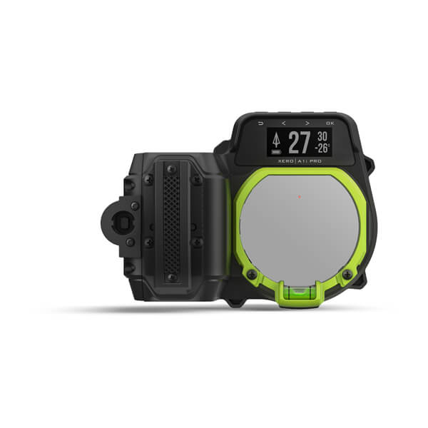
Xero® A1i PRO Bow Sight
$2199.00 Add to cartOverview
READY FOR ANYTHING
Be ready at a moment’s notice by using our most advanced auto-ranging digital bow sight yet. With a fast and easy to set up, giving you line of sight feedback to take your best shot every time.
No need to guess the distance to your target. This sight calculates it automatically.
Set dual pin colours, so you can find the right distance fast.
Quickly fine-tune your sight for the easiest setup yet.
Automatically creates pin stack to the estimated maximum distance for your bow based on arrow speed, draw length, and arrow diameter.
Easy on, easy off. If you travel with your bow, you’re going to love the quick-detach feature.
One-year battery life means more time hunting and more confidence in your shot.
Set up the perfect shot.
Microadjustments
Microadjustable rails let you make quick, precise changes for elevation, windage and laser reticle alignment.
Automatic pin stack
Calibrate your 18-metre pin, enter your bow speed, draw length and arrow diameter and Xero A1i PRO Bow Sight will automatically create a pin stack to your bow’s estimated maximum distance.
QUICK-DETACH FEATURE
Easily remove the bow sight for travel, then reattach it to its original position in seconds when you’re ready to use it.
Purpose built for the field.
CUSTOMISABLE ARROW PROFILES
Xero A1i PRO Bow Sight saves pin settings for multiple arrow configurations, so you can change from your practice setup to your hunting setup in seconds.
LASER LOCATE™ FEATURE
Dual-color LED pins
Easily identify preset distances by using alternating pin colours for fixed pins.
Laser Range Finder
Get instant angle-compensated distance to game up to 90 metres away or reflective targets up to 275 metres away.
Dynamic level
See levelling information right next to the pin with variable sensitivity based on shot distance, so you don’t have to shift focus to see if your shot is level.
Flight Apex
See a flashing pin above the aiming point that shows the estimated apex of your arrow’s flight.
XTRA DISTANCE MODE
In this mode, you can set your sight in an extended position to show pins out to farther distances.
SILENT TRIGGER
Mount the button in the most convenient spot for your grip. With minimal movement, at rest or full draw, you can range up to 90 metres on game or up to 275 metres on reflective targets.
BATTERY LIFE
Get up to 1 year of battery life — about 25,000 ranges — from 2 lithium AAA batteries (included), so you can go from target practice to hunting season without missing a beat.
-
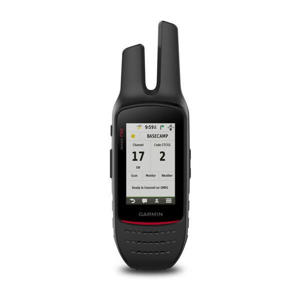
Rino® 750
$949.00 Add to cartOverview
Rugged GPS/GLONASS Handheld with Two-way Radio
- 5 W UHF two-way radio offers extended range, up to 32km; communicate by voice or unit-to-unit text messaging
- High-sensitivity GPS and GLONASS satellite reception; tracks in more challenging environments than GPS alone
- Rechargeable internal lithium-ion battery can provide up to 13 hours of battery life
- Position reporting feature shows locations of other Rino users on the same channel
- Worldwide basemap shows position and supports basic navigation
Whether you’re hunting, hiking, climbing or paddling, the rugged Rino 700 navigator is your go-to for any adventure. Offering an affordable entry point to our navigator/communicator lineup, it retains the core functionality of our more feature-rich Rino 750 handheld. And its powerful two-way radio is fully compatible with them as well. So, it’s easy to stay in touch with other Rino-carrying members of your group.
Pinpoint Your Position
With its high-sensitivity dual GPS/GLONASS receiver and quad helix antenna, Rino 700 quickly finds your position and maintains it — even in heavy cover, deep canyons or remote, off-the-grid locations. The device includes a worldwide basemap plus comprehensive navigation and tracking features to help guide you on or off the beaten path.
Find Your Friends
Rino series handhelds feature a unique position reporting capability that lets you send your exact location to another Rino user so they can see it on their map display. You can also use position polling to request a position from another Rino device. It’s a handy way to keep tabs on your friends, hunting party or fellow adventurers in the field. For added flexibility, you can also maintain nonverbal contact by exchanging unit-to-unit text messages with other Rino users in your area.
Crisp Visibility, Solid Durability
Ruggedly built and water-rated to IPX7, Rino 700 features a crisp 2.2” monochrome display that’s easy to read in any lighting situation. Battery life can exceed 13 hours between recharges. Plus, the unit’s easy-to-use thumbstick control makes one-hand operation simple.
-
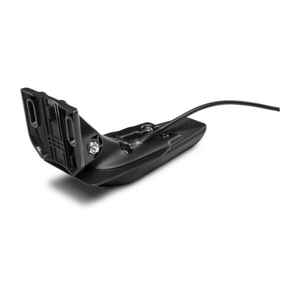
Garmin GT20-TM (4-pin)
$175.00 Add to cartOverview
For the shallow water anglers who wants traditional and CHIRP ClearVü scanning sonar, this transom or trolling motor mounted transducer consistently displays fish arches as well as clear pictures of objects, structure and fish that pass below your boat.
The 20 ft transducer cable with built-in fast response temperature sensor has a power rating of 500 W; a depth of 1,900 ft (traditional) and 750 ft (ClearVü); an operating frequency of 77/200 kHz (traditional) and 455 kHz (ClearVü); and a 0 to 70 transom angle.
Transducer comes with transom and trolling motor mounts, and installation instructions. Follow the instructions carefully to avoid damaging your boat.
-
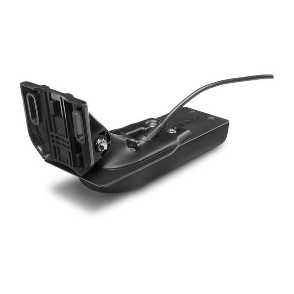
Garmin GT20-TM (8-pin)
$175.00 Add to cartOverview
For the shallow water anglers who wants traditional and CHIRP ClearVü scanning sonar, this transom or trolling motor mounted transducer consistently displays fish arches as well as clear pictures of objects, structure and fish that pass below your boat.
The 20 ft transducer cable with built-in fast response temperature sensor has a power rating of 500 W; a depth of 1,900 ft (traditional) and 750 ft (ClearVü); an operating frequency of 77/200 kHz (traditional) and 455 kHz (ClearVü); and a 0 to 70 transom angle.
Transducer comes with transom and trolling motor mounts, and installation instructions. Follow the instructions carefully to avoid damaging your boat.
-

Garmin GT30-TM
$349.00 Add to cartOverview
LESS TIME FINDING. MORE TIME FISHING.
This transducer offers ultimate versatility, featuring Ultra High-Definition ClearVü and SideVü scanning sonars for crystal-clear images of fish and structure, so you can spend more time catching fish.
See everything below and around your boat with Ultra High-Definition scanning sonar.
Multiple sonar frequencies have you covered — no matter what depth you’re fishing.
See targets and structure in bright, vivid colour.
Mount this transducer your way — transom or trolling motor.
See what’s happening below the water.
ULTRA HIGH-DEFINITION CLEARVÜ SCANNING SONAR
Get brilliant image clarity of structure and fish below your boat at greater depths than other high-frequency scanning sonars. It puts more power on targets via a downward-facing element.
ULTRA HIGH-DEFINITION SIDEVÜ SCANNING SONAR
See everything the first time with stunningly clear images of structure and fish off to the sides of your boat. SideVü sonar now has 20% greater range at 1,000 kHz, so you can see even farther than before.
MULTIPLE SCANNING SONAR FREQUENCIES
Use the perfect frequency for the waters you’re fishing. This transducer delivers 455 kHz, 800 kHz and 1,000 kHz for top performances at all depths.
VIVID COLOUR PALETTES
High-contrast vivid scanning sonar colour palettes make it easier than ever to distinguish targets and structure.
MOUNTING OPTIONS
Everyone’s setup is different. That’s why we’ve included transom and trolling motor mounting hardware.
OPTIONAL CHIRP TRADITIONAL SONAR
-
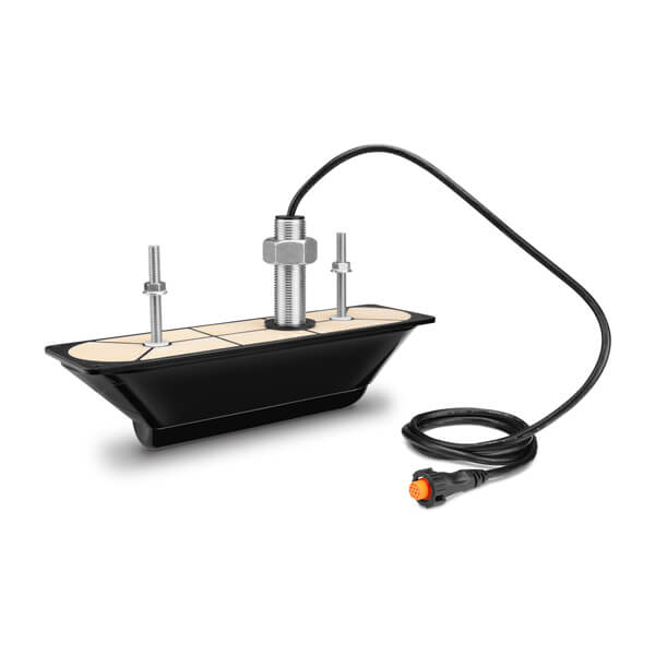
Garmin GT30-TH
$1199.00 Add to cartOverview
LESS TIME FINDING. MORE TIME FISHING.
This transducer offers ultimate versatility, featuring Ultra High-Definition ClearVü and SideVü scanning sonars for crystal-clear images of fish and structure, so you can spend more time catching fish.
See everything below and around your boat with Ultra High-Definition scanning sonar.
Multiple sonar frequencies have you covered — no matter what depth you’re fishing.
See targets and structure in bright, vivid colour.
Mount this transducer your way — transom or trolling motor.
See what’s happening below the water.
ULTRA HIGH-DEFINITION CLEARVÜ SCANNING SONAR
Get brilliant image clarity of structure and fish below your boat at greater depths than other high-frequency scanning sonars. It puts more power on targets via a downward-facing element.
ULTRA HIGH-DEFINITION SIDEVÜ SCANNING SONAR
See everything the first time with stunningly clear images of structure and fish off to the sides of your boat. SideVü sonar now has 20% greater range at 1,000 kHz, so you can see even farther than before.
MULTIPLE SCANNING SONAR FREQUENCIES
Use the perfect frequency for the waters you’re fishing. This transducer delivers 455 kHz, 800 kHz and 1,000 kHz for top performances at all depths.
VIVID COLOUR PALETTES
High-contrast vivid scanning sonar colour palettes make it easier than ever to distinguish targets and structure.
MOUNTING OPTIONS
Everyone’s setup is different. That’s why we’ve included transom and trolling motor mounting hardware.
OPTIONAL CHIRP TRADITIONAL SONAR
-
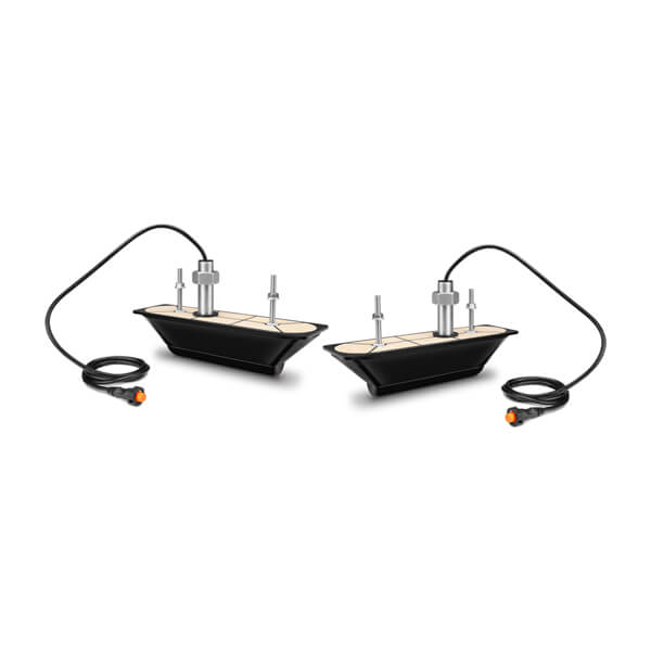
Garmin GT30-THP
$2199.00 Add to cartOverview
LESS TIME FINDING. MORE TIME FISHING.
This transducer offers ultimate versatility, featuring Ultra High-Definition ClearVü and SideVü scanning sonars for crystal-clear images of fish and structure, so you can spend more time catching fish.
See everything below and around your boat with Ultra High-Definition scanning sonar.
Multiple sonar frequencies have you covered — no matter what depth you’re fishing.
See targets and structure in bright, vivid colour.
Mount this transducer your way — transom or trolling motor.
See what’s happening below the water.
ULTRA HIGH-DEFINITION CLEARVÜ SCANNING SONAR
Get brilliant image clarity of structure and fish below your boat at greater depths than other high-frequency scanning sonars. It puts more power on targets via a downward-facing element.
ULTRA HIGH-DEFINITION SIDEVÜ SCANNING SONAR
See everything the first time with stunningly clear images of structure and fish off to the sides of your boat. SideVü sonar now has 20% greater range at 1,000 kHz, so you can see even farther than before.
MULTIPLE SCANNING SONAR FREQUENCIES
Use the perfect frequency for the waters you’re fishing. This transducer delivers 455 kHz, 800 kHz and 1,000 kHz for top performances at all depths.
VIVID COLOUR PALETTES
High-contrast vivid scanning sonar colour palettes make it easier than ever to distinguish targets and structure.
MOUNTING OPTIONS
Everyone’s setup is different. That’s why we’ve included transom and trolling motor mounting hardware.
OPTIONAL CHIRP TRADITIONAL SONAR
-
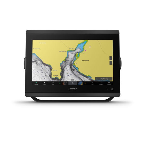
GPSMAP® 8412xsv
$5799.00 Add to cartOverview
SERIOUS ANGLERS, CRUISERS, SAILORS AND SAIL RACERS DEMAND SERIOUS EQUIPMENT
The easy-to-use, easy-to-install chartplotter/sonar combo delivers MFD performance in a combo-size package.
Get wider viewing angles and superior clarity on the touchscreen with a full HD in-plane switching (IPS) display.
Easily build your marine system by using our advanced network connectivity.
See below your boat with built-in sonar capabilities (only available on xsv models). Transducer sold separately.
With SmartMode™ station controls, everything is designed to give you quick, one-touch access to the information you need.
Made for your helm.
HD IPS TOUCHSCREEN
Available in 10″, 12″ or 16″, this display offers wider viewing angles, superior clarity and sunlight readability, even with polarized sunglasses.
SIMPLE, ATTRACTIVE MOUNTING OPTIONS
You can install multiple displays, either flat mounted edge-to-edge for a sleek glass helm look or mounted flush — creating a stunning helm.
GRID™ 20 REMOTE CONTROL
See the world below.
TRADITIONAL AND SCANNING SONAR SUPPORT
Get built-in support for 1-kW Dual-Channel CHIRP traditional sonar for superior target separation and ClearVü and SideVü scanning sonars to see up to 1,000’ below and around your boat at 260 kHz (requires transducer, sold separately). Built-in sonar compabiliity only available on xsv models.
PANOPTIX™ SONAR SUPPORT
Sail and navigate with ease.
GARMIN SAILASSIST™ SAILING FEATURES
View laylines, race start line guidance, enhanced wind rose, heading and course-over-ground lines, true wind data fields and tide/current/time slider, wind angle, set and drift, wind speed and more.
CHARTS & MAPS
SAILING POLARS
Use the polar table to see key data, including how fast you should go at a certain wind angle and speed — so you know whether you need to adjust sail trim.
Connect to everything on your boat.
GARMIN MARINE NETWORK
If you have multiple compatible Garmin devices on your boat, you can share information — such as maps, user data, radar and IP camera video — among them.
NMEA 2000® AND NMEA 0183 NETWORKS
Connect to autopilots, digital switching, weather, your FUSION-Link™ audio system, media, VHF, AIS and more from one screen.
Activecaptain® App
ONEHELM™ FEATURE
SMARTMODE STATION CONTROLS
Get quick, one-touch access to the information you need to ease high-stress situations such as docking. You can incorporate networked sonar, radar, cameras, media and more.
CHARGE INTEGRATION FROM POWER-POLE
Your CHARGE Marine Power Manager from Power-Pole integrates with compatible Garmin chartplotters to help keep your battery power going longer and stronger on the water. You’re able to charge batteries on the run, monitor power use, select where power is allocated, control emergency starts and even transfer power between battery banks — all from your chartplotter display.
-
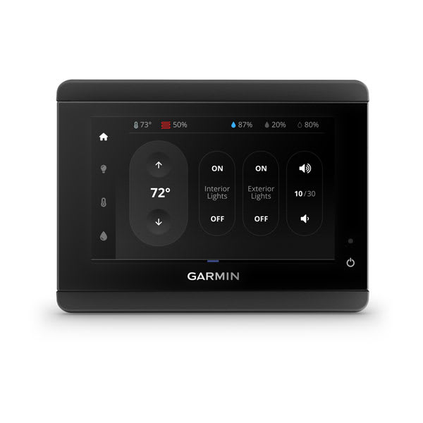
TD 50 Touchscreen Display
$1099.00 Add to cartOverview
ADD MORE ACCESS TO YOUR BOAT SYSTEMS’ MONITORING AND CONTROL
Extra touchscreens let you easily connect with your boat systems, sensors and media for supplementary control, switching and data monitoring from virtually any suitable mounting location on board.
SLEEK 5″ EDGE-TO-EDGE GLASS TOUCHSCREEN DISPLAY
MINIMAL FOOTPRINT — INSTALLS ALMOST ANYWHERE
EASY PLUG-AND-PLAY NETWORK INSTALLATION
FLAT- OR FLUSH-MOUNTING OPTIONS
CONTROL AT YOUR FINGERTIPS
Wherever you need some extra system access on board, the 5″ TD 50 touchscreen fits the need. View engine and systems data, or adjust settings for lights, climate control, entertainment, security sensors, autopilots and more.
SCALABLE TECHNOLOGY
The easy-to-use and easy-to-install TD 50 touchscreen can work as an extra display at the helm station or for below-deck networked access to switching functions and data monitoring throughout your vessel.
EASY SYSTEM INTEGRATION
INTUITIVE INTERFACE
Touchscreen control through an easy graphical interface lets you access multiple switching and monitoring functions for electrical components throughout your boat.
VERSATILE MOUNTING OPTIONS
The TD 50 unit’s slimline design, minimal footprint and flat- or flush-mounting options enable installation in virtually any onboard location where auxiliary system access is needed.
RUGGED, DURABLE DESIGN
-
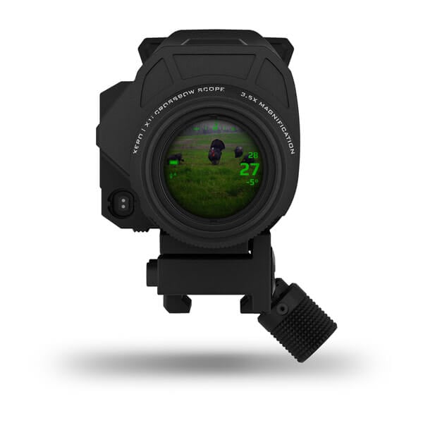
Xero® X1i Crossbow Scope
$2999.00 Add to cartOverview
YOU ONLY NEED ONE SHOT
You’ve never seen a crossbow scope like this before. Range game targets up to 229 metres away, and use digital aim points automatically calibrated to your crossbow setup.
A crossbow scope with a built-in laser rangefinder? Yeah, we did that.
It’s a lot easier to be sure of your shot when you can see it with 3.5X magnification.
Sunrise to sunset, your aim points will be the perfect brightness, easy to see and won’t block your view.
The Laser Locate™ feature lets you mark where your shot was taken and other important points after that.
Get precise aim points for multiple crossbow setups, and easily switch between them.
Steady Aim and Aim Point Level give you confidence that each shot will find its mark.
SILENT RANGE BUTTON
Mount the button in the best location for your grip so one finger can silently activate the laser rangefinder to give you the distance and exact aim point you need for the shot.
RUGGED
Built to withstand all hunting conditions, the scope will be ready in harsh weather or on a blue sky, high-pressure day in mid-November.
This scope has range.
AUTOMATIC RANGING
Get instant angle-compensated distance to game up to 460 metres away, reflective targets up to 229 metres away and black targets up to 115 metres away.
3.5X MAGNIFICATION
Take every shot with confidence. Get on target quickly, and see your mark at 3.5X magnification.
ILLUMINATED AIM POINTS
Precise illuminated aim points automatically adjust brightness to conditions and allow you to see your target, unobstructed by reticle patterns.
Made to get the shot.
LASER LOCATE FEATURE
CUSTOM BOLT PROFILES
Create custom bolt profiles with unique aim point stacks for more accurate shooting across a variety of setups.
CROSSBOW DYNAMICS
Steady Aim and Aim Point Level features give you confidence to take the shot, and Roll at Shot and Impulse Duration give feedback on your setup’s performance.
HIGH-PERFORMANCE OPTICS
Bright, crisp optics offer superior visibility in low light and edge-to-edge clarity for an amazing view of your target. The rangefinder is Class 1 eye-safe.
See what other Garmin devices can contribute to a successful hunt.
-
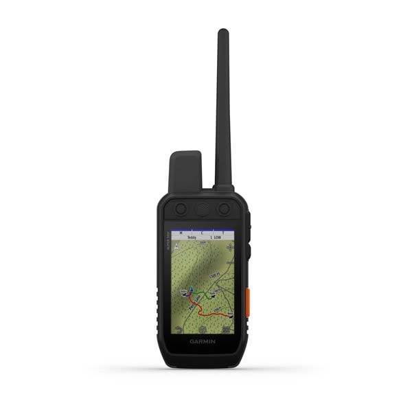
Alpha® 200i
$1299.00 Add to cart<p><a href="https://explore.garmin.com/en-AU/inreach/#subscriptions">Learn more about inReach satellite subscription plans</a></p>
Overview
STRONG CONNECTION. STRONG BOND.
This system is designed to help make tracking and training simple, accessible and fast.
Keep inactive dogs in the system for easier setup and management.
Navigate every hunt with the best in Garmin mapping and sensors.
User-replaceable battery lasts up to 20 hours; up to 15 hours with inReach technology enabled.
Take dog tracking and training to the next level.
TRACK YOUR PACK
Monitor up to 20 dogs from up to %%10 km (depending on dog collar) with a 2.50-second update rate.
DOG LIST/GROUP MANAGEMENT
Keep inactive dogs in your dog list, and manage active groups so you don’t have to add and remove dogs for every hunt.
HUNT METRICS
SIX-BUTTON DESIGN
Use dedicated buttons for fast training cues and minor adjustments in the field.
18 LEVELS OF STIMULATION
Momentary and continuous stimulation options let you customise training for each dog.
TONE/VIBRATION
Deliver audible tone or vibration training commands for quick adjustments to individual dogs, when your Alpha device is paired with your compatible training-enabled collar.
GARMIN EXPLORE™ APP
OPTIONAL INREACH WEATHER
PRO VIEW COMPASS
The pro view compass mode gives you simple, at-a-glance tracking that shows which direction and how far away your dogs are, plus you will see when a dog is Treed or OnPoint.
Navigate your surroundings.
MULTI-GNSS SUPPORT
Access multiple global navigation satellite systems (GPS and Galileo) to track your pack with greater accuracy than GPS alone.
TOPOACTIVE MAPS
Our preloaded TopoActive mapping provides detailed views of terrain contours, topographic elevations, summits, parks, coastlines, rivers, lakes and geographical points.
BIRDSEYE DIRECT
Download BirdsEye Satellite Imagery directly to the handheld for better-than-real-life views of your route, trailheads, clearings and more.
NAVIGATION SENSORS
A barometric altimeter helps you accurately monitor ascent and descent and see short-term trends in air pressure, and the built-in tilt-compensated three-axis electronic compass keeps your bearing — whether you’re moving or not.
SEE IT ALL
The sunlight-readable 3.50” capacitive touchscreen display makes it easy to see and interact with your maps, dog data and more — even while wearing gloves.
STAY ON THE MOVE
Replaceable battery lasts up to 20 hours, or up to 15 hours with inReach technology enabled.
ADDITIONAL MAPPING
Stay in touch using inReach technology.
TWO-WAY MESSAGING
INTERACTIVE SOS ALERTS
LOCATION SHARING
100% GLOBAL IRIDIUM® SATELLITE NETWORK
-
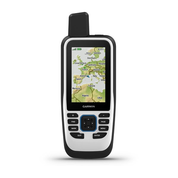
GPSMAP® 86s
$649.00 Add to cartOverview
CAST OFF CONFIDENTLY WITH A PREMIUM MARINE HANDHELD GPS
Stay on course with the GPSMAP 86s handheld. It provides all the outdoor functions of the GPSMAP® 66 series and adds on-the-water features — including wireless connectivity to your onboard marine system.
See all your marine system info at a glance with boat data streaming.
Put convenient control of your autopilot and Fusion® systems at your fingertips.
Add BlueChart® g3 coastal charts for enhanced fishing and navigation.
Get smart notifications so you can stow your phone.
Stay out longer with up to 40 hours of battery life in standard mode.
Set your course.
BOAT DATA
Sync with compatible Garmin chartplotters and instruments to see real-time boat data displayed right on your handheld.
FUSION-LINK AUDIO
Get convenient remote operation of select onboard Fusion marine products.
ACCURATE TRACKING
When you’re underway, an adjustable GPS filter smooths speed and heading indications as you pass over swells for more accurate tracking.
Worldwide basemap
See worldwide shaded relief coverage, including oceans, seas, major lakes and rivers. And see international and state political boundaries and time zone information.
BLUECHART COVERAGE
AUTOPILOT REMOTE
Even when you’re not at the helm, you can control your boat. Access the autopilot app to change heading, engage pattern steering and follow a GPS route.
BACKUP NAVIGATION
Whether you’re out for a day of fishing, sailing or cruising, gain peace of mind that comes from having a backup navigator.
ABC SENSORS
Navigate anywhere with ABC sensors, including an altimeter for elevation data, barometer to monitor weather and 3-axis electronic compass.
Stay connected.
Smart notifications
GARMIN EXPLORE™ APP
WIRELESS CONNECTIONS
GPSMAP 86s offers Wi-Fi® connectivity, ANT+® technology and Bluetooth® wireless technology for easy wireless updates and connections.
LED FLASHLIGHT
The GPSMAP 86s helps you keep gear to a minimum with a built-in LED flashlight that can be used as a beacon to signal for help.
BATTERY LIFE
-
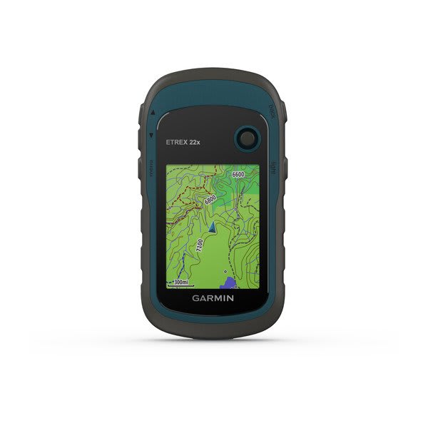
eTrex® 22x
$339.00 Add to cartOverview
Explore Confidently with the Reliable Handheld GPS
- 2.2” sunlight-readable color display with 240 x 320 display pixels for improved readability
- Preloaded with TopoActive maps with routable roads and trails for cycling and hiking
- Support for GPS and GLONASS satellite systems allows for tracking in more challenging environments than GPS alone
- 8 GB of internal memory plus a microSD™ card slot
- eTrex 32x adds a 3-axis compass and barometric altimeter
- Battery life: up to 25 hours in GPS mode with 2 AA batteries
eTrex 22x and eTrex 32x offer the same ease-of-use, durability and affordability that the eTrex handheld GPS series is known for — along with preloaded TopoActive maps. These devices are perfect for ATVs, bicycles, boats or hiking.
See the Way
eTrex 22x and 32x offer enhanced 2.2”, 65K color, sunlight-readable displays. Durable and water resistant, these handhelds are built to withstand the elements.
Explore the Terrain
The eTrex 22x and 32x handheld devices come preloaded with road-routable TopoActive maps for outdoor activities that feature streets and trails so you can take the journey off the grid. Now you can know your surroundings — such as waterways, natural features as well as buildings, international boundaries and more. You can also find thousands of points of interests, including shops, restaurants, universities, car parks and accommodations.
Go Anywhere
With an array of compatible mounts, eTrex is designed as a handheld — for use on ATVs or bicycles, in boats or on foot. Use the auto mount capability and City Navigator® NT maps for turn by turn driving directions for motorized vehicles, or use the rugged mount for your motorcycle or ATV. Wherever you think you might take eTrex, it has the mapping and mounts to get you there.
Keep Your Fix
The eTrex series uses both GPS and GLONASS satellite systems so the receiver has the ability to track in more challenging environments than GPS alone. eTrex 32x adds a 3-axis compass and barometric altimeter, making it easy for you to keep your bearings.
Find Fun
eTrex 22x and eTrex 32x support paperless geocaching. Upload GPX files straight to your device, and view key information such as location, terrain and hints from Geocaching.com
-
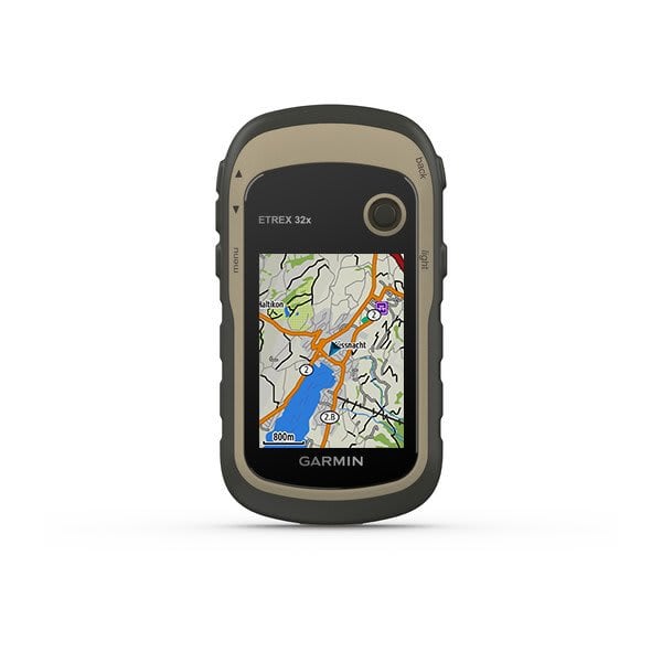
eTrex® 32x
$529.00 Add to cartOverview
Explore Confidently with the Reliable Handheld GPS
- 2.2” sunlight-readable color display with 240 x 320 display pixels for improved readability
- Preloaded with TopoActive maps with routable roads and trails for cycling and hiking
- Support for GPS and GLONASS satellite systems allows for tracking in more challenging environments than GPS alone
- 8 GB of internal memory plus a microSD™ card slot
- eTrex 32x adds a 3-axis compass and barometric altimeter
- Battery life: up to 25 hours in GPS mode with 2 AA batteries
eTrex 22x and eTrex 32x offer the same ease-of-use, durability and affordability that the eTrex handheld GPS series is known for — along with preloaded TopoActive maps. These devices are perfect for ATVs, bicycles, boats or hiking.
See the Way
eTrex 22x and 32x offer enhanced 2.2”, 65K color, sunlight-readable displays. Durable and water resistant, these handhelds are built to withstand the elements.
Explore the Terrain
The eTrex 22x and 32x handheld devices come preloaded with road-routable TopoActive maps for outdoor activities that feature streets and trails so you can take the journey off the grid. Now you can know your surroundings — such as waterways, natural features as well as buildings, international boundaries and more. You can also find thousands of points of interests, including shops, restaurants, universities, car parks and accommodations.
Go Anywhere
With an array of compatible mounts, eTrex is designed as a handheld — for use on ATVs or bicycles, in boats or on foot. Use the auto mount capability and City Navigator® NT maps for turn by turn driving directions for motorized vehicles, or use the rugged mount for your motorcycle or ATV. Wherever you think you might take eTrex, it has the mapping and mounts to get you there.
Keep Your Fix
The eTrex series uses both GPS and GLONASS satellite systems so the receiver has the ability to track in more challenging environments than GPS alone. eTrex 32x adds a 3-axis compass and barometric altimeter, making it easy for you to keep your bearings.
Find Fun
eTrex 22x and eTrex 32x support paperless geocaching. Upload GPX files straight to your device, and view key information such as location, terrain and hints from Geocaching.com
-
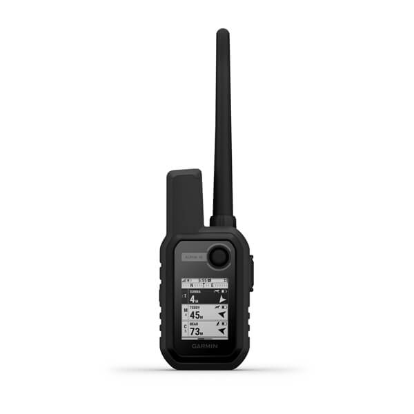
Alpha® 10
$679.00 Add to cartOverview
JOIN THE HUNT
When you’re on the move, this compact GPS device won’t weigh you down.
Know your dog’s location, wherever the hunt takes them.
Always on the go? Mount Alpha® 10 in your truck or anywhere else to keep it close.
It’s up to you. Use Alpha® 10 on its own or with other dog tracking devices.
Stay on the hunt for longer with up to 1 week of battery life (40 hours of use).
Small device. Big tracking and training potential.
TRACK YOUR PACK
MULTI-GNSS SUPPORT
Access multiple global navigation satellite systems (GPS and Galileo) to track in more challenging environments than GPS alone.
HUNT-READY BATTERY LIFE
With up to a full week’s worth of battery life (40 hours of use), you’ll stay charged and ready for action, even on multiday trips.
18 LEVELS OF STIMULATION
Momentary and continuous stimulation options let you customise training for each dog (when paired with select dog collars).
TONE/VIBRATION
Issue different levels of audible tone or vibration commands for quick adjustments to individual dogs (when paired with select dog collars).
ALPHA™ APP
Follow The Action
More Ways to Track on the Go
-
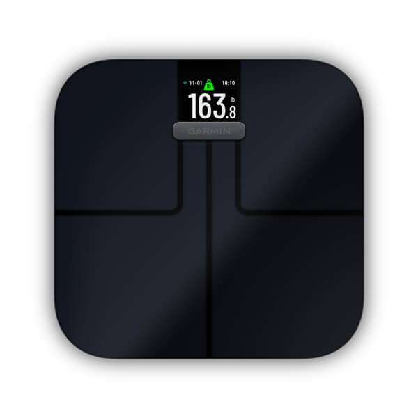
Garmin Index™ S2
$259.00 Add to cartOverview
IT’S NOT JUST ABOUT WHAT YOU WEIGH
Whether you’re an athlete in training or just trying to maintain a healthy weight, this sleek scale can give you a more holistic view of your health on an easy-to-read colour display.
Ready to see how much of your body is fat, muscle, bone or water? We got you.
You can’t beat having all the stats you care about in one place.
Keep up with your goals for up to 9 months without new batteries.
Your weight can change a lot day to day. See your progress over time, and stay motivated.
Accuracy matters when it comes to your goals.
WEIGHT
View your weight in pounds, kilograms or stones and pounds. Plus, see differences between one weigh-in and another.
WEIGHT TREND
BODY MASS INDEX
Get an accurate measurement of how your mass relates to your height to see if you’re in a healthy range.
BODY FAT PERCENTAGE
Your body needs some fat to be healthy. See what percentage of your mass is made up of essential and stored fat.
SKELETAL MUSCLE MASS
See how much skeletal muscle you have on your body, and track how much muscle you’re building.
BONE MASS
See how much of your weight is bone mass.
BODY WATER PERCENTAGE
See what percent of your total mass comes from fluids. It can help you see how hydrated you are.
WEIGHT-ONLY OPTION
If you only want to track weight, you can disable any other body composition data you don’t want to record.
MULTIPLE DAILY WEIGH-INS
See patterns in your weight, and track how your body changes throughout the day — on the scale and in Garmin Connect.
Make a deeper connection to your health.
WI-FI CONNECTIVITY
Easily sync your stats to your Garmin Connect account via Wi-Fi connectivity.
GARMIN CONNECT APP
See your data, and get trend graphs, multiple daily weights and more alongside your other wellness information.
CUSTOMISABLE VIEW
Built to fit into your life.
SLEEK, SMART DESIGN
See your data on a high-resolution colour display, and choose from sleek black or white designs that will complement any decor.
UP TO 16 USERS
Create up to 16 user profiles for family, teammates or friends to track individual goals and progress. And each user can sync and view their own stats in Garmin Connect.
BATTERY LIFE
Track your goals for up to 9 months without changing the battery.
WEATHER
Smartwatches for all the ways you move.
-
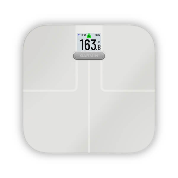
Garmin Index™ S2
$259.00 Add to cartOverview
IT’S NOT JUST ABOUT WHAT YOU WEIGH
Whether you’re an athlete in training or just trying to maintain a healthy weight, this sleek scale can give you a more holistic view of your health on an easy-to-read colour display.
Ready to see how much of your body is fat, muscle, bone or water? We got you.
You can’t beat having all the stats you care about in one place.
Keep up with your goals for up to 9 months without new batteries.
Your weight can change a lot day to day. See your progress over time, and stay motivated.
Accuracy matters when it comes to your goals.
WEIGHT
View your weight in pounds, kilograms or stones and pounds. Plus, see differences between one weigh-in and another.
WEIGHT TREND
BODY MASS INDEX
Get an accurate measurement of how your mass relates to your height to see if you’re in a healthy range.
BODY FAT PERCENTAGE
Your body needs some fat to be healthy. See what percentage of your mass is made up of essential and stored fat.
SKELETAL MUSCLE MASS
See how much skeletal muscle you have on your body, and track how much muscle you’re building.
BONE MASS
See how much of your weight is bone mass.
BODY WATER PERCENTAGE
See what percent of your total mass comes from fluids. It can help you see how hydrated you are.
WEIGHT-ONLY OPTION
If you only want to track weight, you can disable any other body composition data you don’t want to record.
MULTIPLE DAILY WEIGH-INS
See patterns in your weight, and track how your body changes throughout the day — on the scale and in Garmin Connect.
Make a deeper connection to your health.
WI-FI CONNECTIVITY
Easily sync your stats to your Garmin Connect account via Wi-Fi connectivity.
GARMIN CONNECT APP
See your data, and get trend graphs, multiple daily weights and more alongside your other wellness information.
CUSTOMISABLE VIEW
Built to fit into your life.
SLEEK, SMART DESIGN
See your data on a high-resolution colour display, and choose from sleek black or white designs that will complement any decor.
UP TO 16 USERS
Create up to 16 user profiles for family, teammates or friends to track individual goals and progress. And each user can sync and view their own stats in Garmin Connect.
BATTERY LIFE
Track your goals for up to 9 months without changing the battery.
WEATHER
Smartwatches for all the ways you move.
-
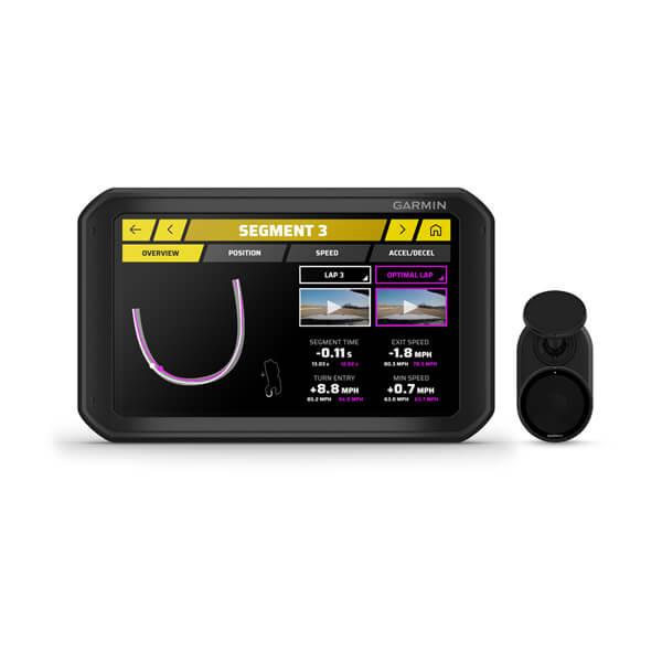
Garmin Catalyst™ Driving Performance Optimizer
$1699.01 Add to cartOverview
DISCOVER YOUR FULL TRACK DRIVING POTENTIAL
What’s my line? The True Track Positioning™ feature shows your racing line on the track.
Garmin Catalyst tracks and compares to show if you’re ahead or behind previous lap time.
True Optimal Lap™ technology factors all performance data to show your best drivable time.
Make headway. Immediate data and adaptive suggestions show key areas for improvement.
After your session, instantly review your session stats on the 7-inch touchscreen. No computer needed.
Make the best of your time on the track.
TRUE TRACK POSITIONING
This groundbreaking technology uses 10 Hz multi-GNSS positioning, image processing and built-in accelerometers to generate your racing line on the track.
ON-TRACK DRIVING COACH
TRUE OPTIMAL LAP
This revolutionary technology combines your best times for each track segment, to show your optimum drivable time based on lines you actually drove and can repeat.
APEX PERFORMANCE
Which line should you track when ripping around corners? See on the map how early or late apex decisions affect your overall speed through the course.
REAL-TIME LAP DATA
On the course, Garmin Catalyst keeps track of your best lap time, adaptive delta time, number of laps and total session time.
MOUNTS IN THE COCKPIT
Secure Garmin Catalyst inside the cockpit using the included heavy-duty suction cup or the included screw down mount.
See how you did — and where you could do better.
SEE AREAS OF GAIN
After your session, immediately review the performance data on your device to see where on the track your biggest areas for improvement are.
AUTOMATIC INTERPRETATION
Garmin Catalyst crunches the numbers. So there’s no need to download data to your computer — and no cumbersome graphs with squiggly lines that leave you trying to analyse data for hours.
ADAPTIVE COACHING
Easily compare performance data from your other sessions, and get immediate, adaptive suggestions to see areas where you can do better.
TRACK DATABASE
Garmin Catalyst comes preloaded with a track database featuring road courses from around the world. Garmin Catalyst allows users to easily add courses to the database as well.
REMOTE CAM
The included Remote Cam captures clear, crisp HD video, which can be played back on the device with time-synced overlays showing speed, lap data and more.
DATA ON DEMAND
Hear What the Industry is Saying
Find your line to faster times using Garmin Catalyst
Access Garmin Catalyst™ device performance data from your phone.
-
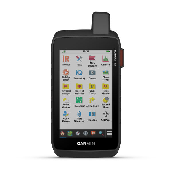
Montana® 750i
$1349.00 Add to cartOverview
EXPLORE YOUR WORLD WITH NAVIGATION YOU TRUST
With routable mapping for roads and trails, the Montana 700 handheld brings advanced outdoor features into a sturdy 5” format that’s ideal for navigation on foot, bike, kayak, ATV and more.
Expect big things. A large touchscreen puts them all at your fingertips.
Routable TopoActive Australia and New Zealand maps. Now you’re free to take it off-road or on.
Meets MIL-STD 810 for thermal, shock, water and vibration.
Get the clear perspective of BirdsEye Satellite Imagery right to your device.
Go far with no fear. ABC sensors and multiple GNSS networks have your back.
Power your adventures with 18+ hours of lithium-ion battery life in GPS mode.
Track your adventures on any terrain.
RUGGED BY DESIGN
TOPOACTIVE AUSTRALIA AND NEW ZEALAND MAPS
To navigate your adventures, use preloaded TopoActive Australia and New Zealand maps. View elevations, coastlines, rivers, landmarks and more.
SATELLITE VIEWS
Use direct-to-device downloads of Birdseye Satellite Imagery (no annual subscription required) to see photo-realistic views and create waypoints based on landmarks.
ABC SENSORS
Navigate your next trail with ABC sensors, including an altimeter for elevation data, barometer to monitor weather and 3-axis electronic compass.
ACTIVE WEATHER
DOG TRACKING
WIKILOC TRAILS
Take it hiking. Take it hunting. Take it off-grid.
MULTI-GNSS SUPPORT
Access to GPS, GLONASS and GALILEO satellite networks enables to track in more challenging environments than GPS alone.
EXPEDITION MODE
Trek far and wide off-grid. Use Expedition mode, an ultralow-power GPS reference, to keep Montana tracking for a week or more between recharges.
BATTERY OPTIONS
An internal, rechargeable lithium-ion battery pack provides more than 18 hours of battery life in GPS mode. It can also be powered with traditional AA batteries.
VEHICLE MOUNTS
A variety of Montana handheld-compatible mounts (sold separately) lets you adapt your navigator for use on ATVs, boats, cars, motorcycles, RVs or other vehicles.
Garmin Explore app for off-grid navigation and more.
-
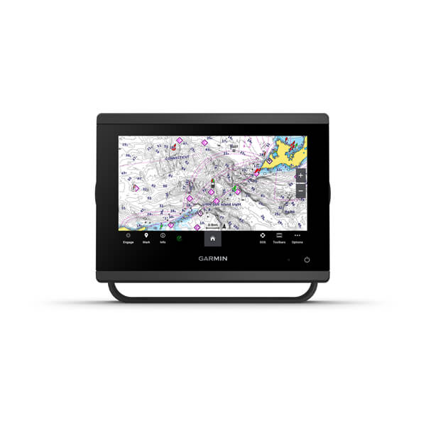
GPSMAP® 753xsv
$1999.00 Add to cartOverview
GET A SHARPER VIEW FROM YOUR CONNECTED HELM
With its sleek design, powerful processing and upgraded IPS display, this advanced 7″, 9″, 12″ or 16″ chartplotter integrates seamlessly into your Garmin marine system.
Easily integrate with more engines.
Easily build your marine system by using our advanced network connectivity.
Navigate any waters with preloaded Garmin Navionics+™ charts on select models.
See below your boat with built-in sonar capabilities (only available on xsv models.)
See the world below.
ULTRA HIGH-DEFINITION SCANNING SONAR
PANOPTIX™ SONAR SUPPORT
Made for your helm.
FASTER, SHARPER, SMARTER
With its added processing power and slimline design featuring edge-to-edge glass, it’s easy to fit this plotter in a wider range of dash configurations.
BRIGHT AND CLEAR OPTICS
PRELOADED MAPPING
OPTIONAL CHARTS AND MAPS
CHARGE INTEGRATION FROM POWER-POLE
Your CHARGE Marine Power Manager from Power-Pole integrates with compatible Garmin chartplotters to help keep your battery power going longer and stronger on the water. You’re able to charge batteries on the run, monitor power use, select where power is allocated, control emergency starts and even transfer power between battery banks — all from your chartplotter display.
OPTIONAL RADAR BUNDLE
TROLLING MOTOR INTEGRATION
Sail and navigate with ease.
GARMIN SAILASSIST™ SAILING FEATURES
View laylines, race start line guidance, enhanced wind rose, heading and course-over-ground lines, true wind data fields and tide/current/time slider, wind angle, set and drift, wind speed and more.
SAILING POLARS
Garmin Marine Network
ENGINE CONNECTIVITY
ONEHELM FEATURE
-
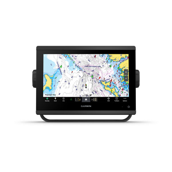
GPSMAP® 953xsv
$2699.00 Add to cartOverview
GET A SHARPER VIEW FROM YOUR CONNECTED HELM
With its sleek design, powerful processing and upgraded IPS display, this advanced 7″, 9″, 12″ or 16″ chartplotter integrates seamlessly into your Garmin marine system.
Easily integrate with more engines.
Easily build your marine system by using our advanced network connectivity.
Navigate any waters with preloaded Garmin Navionics+™ charts on select models.
See below your boat with built-in sonar capabilities (only available on xsv models.)
See the world below.
ULTRA HIGH-DEFINITION SCANNING SONAR
PANOPTIX™ SONAR SUPPORT
Made for your helm.
FASTER, SHARPER, SMARTER
With its added processing power and slimline design featuring edge-to-edge glass, it’s easy to fit this plotter in a wider range of dash configurations.
BRIGHT AND CLEAR OPTICS
PRELOADED MAPPING
OPTIONAL CHARTS AND MAPS
CHARGE INTEGRATION FROM POWER-POLE
Your CHARGE Marine Power Manager from Power-Pole integrates with compatible Garmin chartplotters to help keep your battery power going longer and stronger on the water. You’re able to charge batteries on the run, monitor power use, select where power is allocated, control emergency starts and even transfer power between battery banks — all from your chartplotter display.
OPTIONAL RADAR BUNDLE
TROLLING MOTOR INTEGRATION
Sail and navigate with ease.
GARMIN SAILASSIST™ SAILING FEATURES
View laylines, race start line guidance, enhanced wind rose, heading and course-over-ground lines, true wind data fields and tide/current/time slider, wind angle, set and drift, wind speed and more.
SAILING POLARS
Garmin Marine Network
ENGINE CONNECTIVITY
ONEHELM FEATURE
-
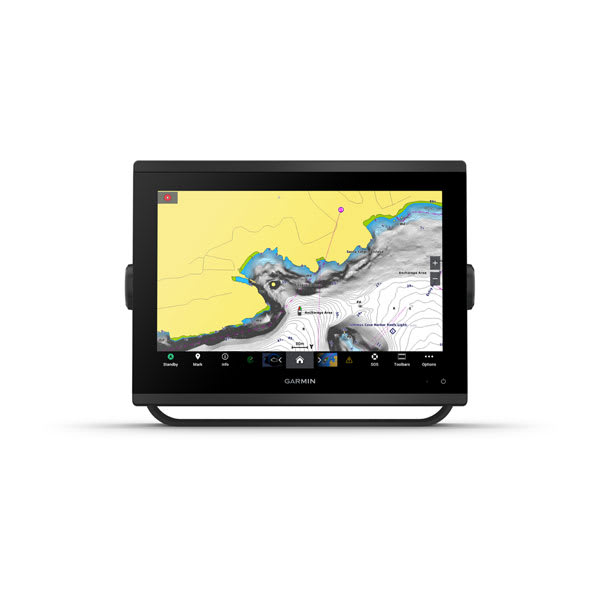
GPSMAP® 1253xsv
$4999.01 Add to cartOverview
GET A SHARPER VIEW FROM YOUR CONNECTED HELM
With its sleek design, powerful processing and upgraded IPS display, this advanced 7″, 9″, 12″ or 16″ chartplotter integrates seamlessly into your Garmin marine system.
Easily integrate with more engines.
Easily build your marine system by using our advanced network connectivity.
Navigate any waters with preloaded Garmin Navionics+™ charts on select models.
See below your boat with built-in sonar capabilities (only available on xsv models.)
See the world below.
ULTRA HIGH-DEFINITION SCANNING SONAR
PANOPTIX™ SONAR SUPPORT
Made for your helm.
FASTER, SHARPER, SMARTER
With its added processing power and slimline design featuring edge-to-edge glass, it’s easy to fit this plotter in a wider range of dash configurations.
BRIGHT AND CLEAR OPTICS
PRELOADED MAPPING
OPTIONAL CHARTS AND MAPS
CHARGE INTEGRATION FROM POWER-POLE
Your CHARGE Marine Power Manager from Power-Pole integrates with compatible Garmin chartplotters to help keep your battery power going longer and stronger on the water. You’re able to charge batteries on the run, monitor power use, select where power is allocated, control emergency starts and even transfer power between battery banks — all from your chartplotter display.
OPTIONAL RADAR BUNDLE
TROLLING MOTOR INTEGRATION
Sail and navigate with ease.
GARMIN SAILASSIST™ SAILING FEATURES
View laylines, race start line guidance, enhanced wind rose, heading and course-over-ground lines, true wind data fields and tide/current/time slider, wind angle, set and drift, wind speed and more.
SAILING POLARS
Garmin Marine Network
ENGINE CONNECTIVITY
ONEHELM FEATURE
-
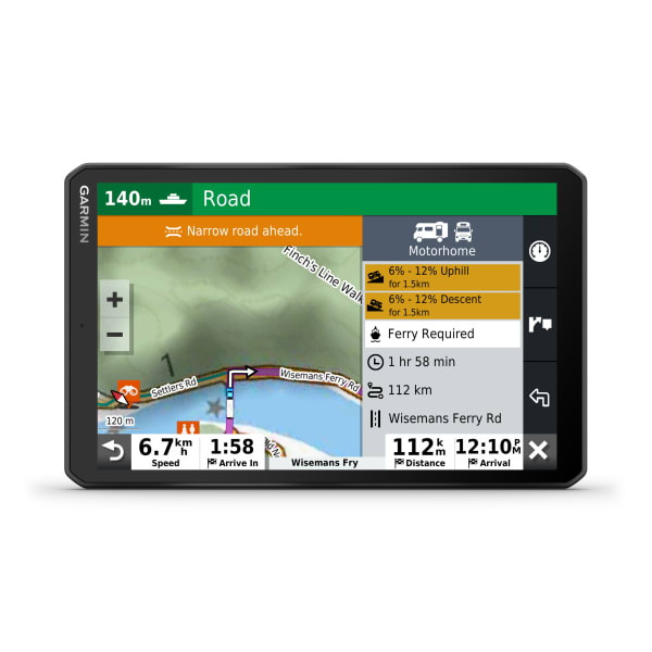
RV 890
$899.00 Add to cart<p> <a href="https://www.garmin.com/en-AU/c/automotive/rv-camper-motorhome-gps/">Click here to check out our newest products</a> </p>
Overview
GET LOST IN THE MOMENTS. NOT THE ROUTE.
Let the RV 890 navigate your journey so you can enjoy the memories you make along the way.
See it all clearly on the large, 8-inch display — in landscape or portrait mode.
Road warnings let you enjoy unexpected adventure and avoid unexpected sharp curves.
We’ll help you find the best places to stop for a view or stop for a few nights.
With the voice assistant, you have a copilot that lets you call the shots.
A smoother journey starts here.
LARGE NAVIGATOR SCREEN
This large, 8-inch GPS navigator features a bright, high-resolution edge-to-edge touchscreen display so you can easily see important information — in landscape or portrait mode.
CUSTOM RV ROUTING
ROAD WARNINGS
Know of upcoming steep grades, sharp curves, weight limits and more before you get to them. Detailed elevation information helps you prepare for possible steep grades along the route.
RV PARKS AND SERVICES
Simplify your trip with a preloaded directory of camper parks and services from ACSI, CamperContact and Trailer’s PARK, which can be filtered by amenity such as showers, electricity and more, plus content from iOverlander™.
EASY TRIP PLANNING
Drive smarter.
VOICE ASSISTANT
Need directions? Just say 'OK Garmin' and tell RV 890 where to take you. It responds to your spoken requests and then navigates to wherever you need to go.
WIRELESS UPDATES
Built-in Wi-Fi connectivity makes it easy to keep your maps and software up to date without using a computer. On-screen cues show when new updates are available.
LIVE TRAFFIC AND WEATHER
HEMA POIS
Preloaded with HEMA 100K Topo Maps
HANDS-FREE CALLING
SMART NOTIFICATIONS
Ready for every road trip.
TRIPADVISOR®
View TripAdvisor traveller ratings for hotels, restaurants and attractions along your route or near your destination.
FIND PLACES BY NAME
MAP COVERAGE
Your navigator includes map updates and comes preloaded with full Australian maps. Plus, you’ll have access to free map downloads via Garmin Express for North America, South America, Australia and New Zealand, South Africa, the Middle East and North Africa.
WORKS WITH BACKUP CAMERAS
WANT MORE?
Simplify your drive with the Garmin Drive™ app.
FPO
-
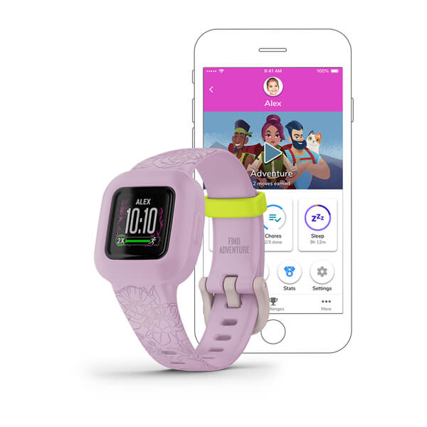
vívofit® jr. 3 (Garmin)
$149.00 Add to cartOverview
SUIT UP
Heroes don’t need chargers. This easy-to-replace battery lasts up to 1 year.
Your child will be ready for any S.H.I.E.L.D. mission with a colour display and multiple watch face options.
Let your child relive the Infinity Saga. Playtime unlocks Marvel Avengers adventures, games and icons.
CHOOSE YOUR DESIGN
Let your kid choose how they want to suit up — with Iron Man, Black Panther or Black Panther – Special Edition designs. The colourful display with their choice of character watch face ensures they’ll have everything they need on their adventures.
MADE FOR ALL DAY PLAY
Take part in a heroic universe.
ACTIVITY UNLOCKS ADVENTURE
With you as their helper, your child will unlock new adventures and relive the most exciting moments of the Infinity Saga alongside their favourite Marvel Avengers characters.
TAP CHALLENGE GAME
Not only does 60 minutes of daily activity unlock adventure, the more active minutes kids log, the more chances they’ll get to play the heart-pounding tap challenge game.
COLLECTIBLE INFINITY STONE POINTS
Meeting their daily activity goals also rewards your kid with Infinity Stone points. They can use these points to reveal epic new images of the Avengers.
FITNESS CARDS
Take Captain America’s fitness challenge. Your kids will learn basic exercise moves from fitness training cards, including jumping jacks, downward dog, mountain climbers and more.
Put more on your child’s wrist.
TIMED ACTIVITIES
CHARACTER WATCH FACES
Allow kids to personalise their fitness trackers with watch faces featuring Captain America, Black Widow, Black Panther and even more of their favourite Avengers.
ICE (IN CASE OF EMERGENCY) WIDGET
It never hurts to be prepared. Input your child’s emergency contact information into the ICE widget, so it can quickly be accessed if needed.
A helping hand for parents.
MONITOR ACTIVITY
CHORES AND REWARDS
FRIENDLY REMINDERS
When you assign chores and schedule alerts, your kid’s tracker will let them know with an icon that shows what needs to be done. These can be set up to recur weekly or even daily.
STEP CHALLENGES
STAY ACTIVE TOGETHER
KID MODE
-
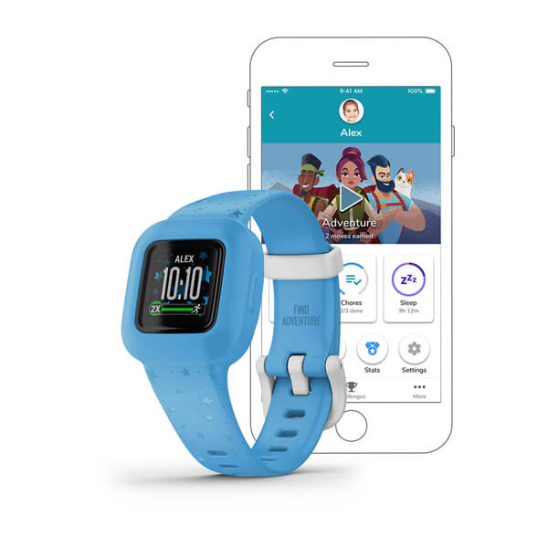
vívofit® jr. 3 (Garmin)
$149.00 Add to cartOverview
SUIT UP
Heroes don’t need chargers. This easy-to-replace battery lasts up to 1 year.
Your child will be ready for any S.H.I.E.L.D. mission with a colour display and multiple watch face options.
Let your child relive the Infinity Saga. Playtime unlocks Marvel Avengers adventures, games and icons.
CHOOSE YOUR DESIGN
Let your kid choose how they want to suit up — with Iron Man, Black Panther or Black Panther – Special Edition designs. The colourful display with their choice of character watch face ensures they’ll have everything they need on their adventures.
MADE FOR ALL DAY PLAY
Take part in a heroic universe.
ACTIVITY UNLOCKS ADVENTURE
With you as their helper, your child will unlock new adventures and relive the most exciting moments of the Infinity Saga alongside their favourite Marvel Avengers characters.
TAP CHALLENGE GAME
Not only does 60 minutes of daily activity unlock adventure, the more active minutes kids log, the more chances they’ll get to play the heart-pounding tap challenge game.
COLLECTIBLE INFINITY STONE POINTS
Meeting their daily activity goals also rewards your kid with Infinity Stone points. They can use these points to reveal epic new images of the Avengers.
FITNESS CARDS
Take Captain America’s fitness challenge. Your kids will learn basic exercise moves from fitness training cards, including jumping jacks, downward dog, mountain climbers and more.
Put more on your child’s wrist.
TIMED ACTIVITIES
CHARACTER WATCH FACES
Allow kids to personalise their fitness trackers with watch faces featuring Captain America, Black Widow, Black Panther and even more of their favourite Avengers.
ICE (IN CASE OF EMERGENCY) WIDGET
It never hurts to be prepared. Input your child’s emergency contact information into the ICE widget, so it can quickly be accessed if needed.
A helping hand for parents.
MONITOR ACTIVITY
CHORES AND REWARDS
FRIENDLY REMINDERS
When you assign chores and schedule alerts, your kid’s tracker will let them know with an icon that shows what needs to be done. These can be set up to recur weekly or even daily.
STEP CHALLENGES
STAY ACTIVE TOGETHER
KID MODE
-
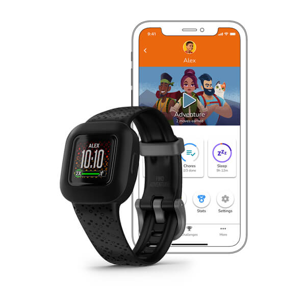
vívofit® jr. 3 (Garmin)
$149.00 Add to cartOverview
SUIT UP
Heroes don’t need chargers. This easy-to-replace battery lasts up to 1 year.
Your child will be ready for any S.H.I.E.L.D. mission with a colour display and multiple watch face options.
Let your child relive the Infinity Saga. Playtime unlocks Marvel Avengers adventures, games and icons.
CHOOSE YOUR DESIGN
Let your kid choose how they want to suit up — with Iron Man, Black Panther or Black Panther – Special Edition designs. The colourful display with their choice of character watch face ensures they’ll have everything they need on their adventures.
MADE FOR ALL DAY PLAY
Take part in a heroic universe.
ACTIVITY UNLOCKS ADVENTURE
With you as their helper, your child will unlock new adventures and relive the most exciting moments of the Infinity Saga alongside their favourite Marvel Avengers characters.
TAP CHALLENGE GAME
Not only does 60 minutes of daily activity unlock adventure, the more active minutes kids log, the more chances they’ll get to play the heart-pounding tap challenge game.
COLLECTIBLE INFINITY STONE POINTS
Meeting their daily activity goals also rewards your kid with Infinity Stone points. They can use these points to reveal epic new images of the Avengers.
FITNESS CARDS
Take Captain America’s fitness challenge. Your kids will learn basic exercise moves from fitness training cards, including jumping jacks, downward dog, mountain climbers and more.
Put more on your child’s wrist.
TIMED ACTIVITIES
CHARACTER WATCH FACES
Allow kids to personalise their fitness trackers with watch faces featuring Captain America, Black Widow, Black Panther and even more of their favourite Avengers.
ICE (IN CASE OF EMERGENCY) WIDGET
It never hurts to be prepared. Input your child’s emergency contact information into the ICE widget, so it can quickly be accessed if needed.
A helping hand for parents.
MONITOR ACTIVITY
CHORES AND REWARDS
FRIENDLY REMINDERS
When you assign chores and schedule alerts, your kid’s tracker will let them know with an icon that shows what needs to be done. These can be set up to recur weekly or even daily.
STEP CHALLENGES
STAY ACTIVE TOGETHER
KID MODE
-
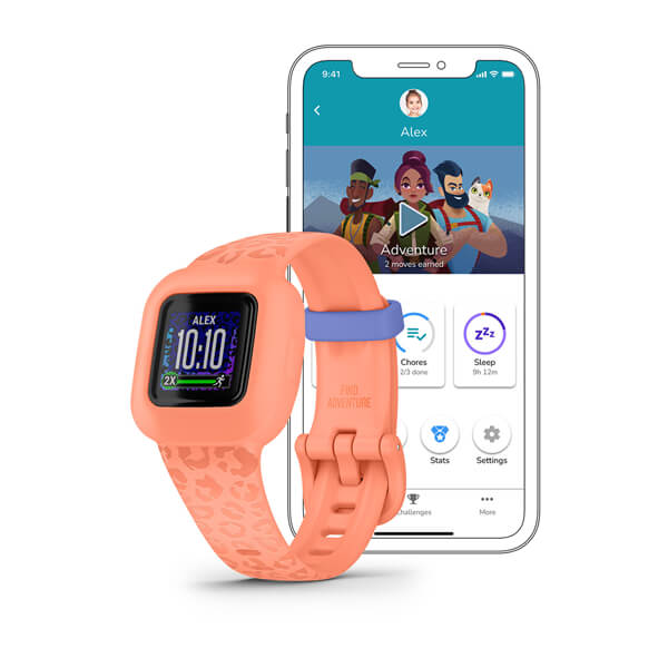
vívofit® jr. 3 (Garmin)
$149.00 Add to cartOverview
SUIT UP
Heroes don’t need chargers. This easy-to-replace battery lasts up to 1 year.
Your child will be ready for any S.H.I.E.L.D. mission with a colour display and multiple watch face options.
Let your child relive the Infinity Saga. Playtime unlocks Marvel Avengers adventures, games and icons.
CHOOSE YOUR DESIGN
Let your kid choose how they want to suit up — with Iron Man, Black Panther or Black Panther – Special Edition designs. The colourful display with their choice of character watch face ensures they’ll have everything they need on their adventures.
MADE FOR ALL DAY PLAY
Take part in a heroic universe.
ACTIVITY UNLOCKS ADVENTURE
With you as their helper, your child will unlock new adventures and relive the most exciting moments of the Infinity Saga alongside their favourite Marvel Avengers characters.
TAP CHALLENGE GAME
Not only does 60 minutes of daily activity unlock adventure, the more active minutes kids log, the more chances they’ll get to play the heart-pounding tap challenge game.
COLLECTIBLE INFINITY STONE POINTS
Meeting their daily activity goals also rewards your kid with Infinity Stone points. They can use these points to reveal epic new images of the Avengers.
FITNESS CARDS
Take Captain America’s fitness challenge. Your kids will learn basic exercise moves from fitness training cards, including jumping jacks, downward dog, mountain climbers and more.
Put more on your child’s wrist.
TIMED ACTIVITIES
CHARACTER WATCH FACES
Allow kids to personalise their fitness trackers with watch faces featuring Captain America, Black Widow, Black Panther and even more of their favourite Avengers.
ICE (IN CASE OF EMERGENCY) WIDGET
It never hurts to be prepared. Input your child’s emergency contact information into the ICE widget, so it can quickly be accessed if needed.
A helping hand for parents.
MONITOR ACTIVITY
CHORES AND REWARDS
FRIENDLY REMINDERS
When you assign chores and schedule alerts, your kid’s tracker will let them know with an icon that shows what needs to be done. These can be set up to recur weekly or even daily.
STEP CHALLENGES
STAY ACTIVE TOGETHER
KID MODE
-
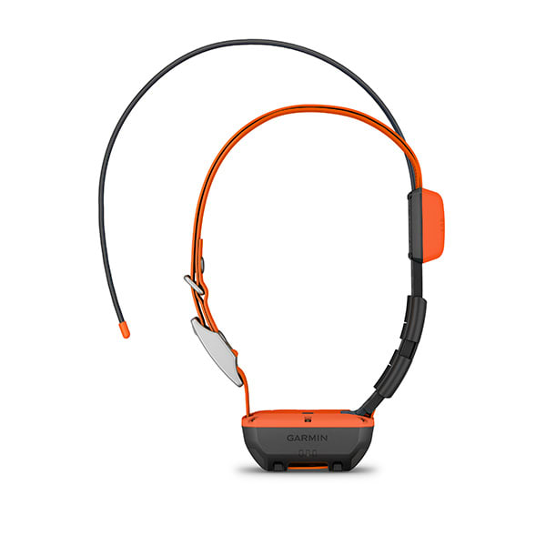
Alpha® T 20 Dog Collar
$549.00 Add to cartOverview
TRACK AND TRAIN YOUR PACK
No matter what kind of dogs you run or how you hunt, is the slim, rugged and universally sized collar designed to help you build a better dog — no matter the breed.
TRACK YOUR DOG UP TO 14.5 KILOMETERS WHEN USED WITH A COMPATIBLE HANDHELD (SOLD SEPARATELY)
OPTIMISE YOUR BATTERY LIFE WITH DYNAMIC TRACKING
COLLAR IS UNIVERSALLY SIZED TO FIT LARGE AND SMALL BREEDS
EASILY CHANGE THE USER-REPLACEABLE FLEX BAND
TRAIN WITH STIM, TONE OR VIBE WHEN USED WITH A COMPATIBLE HANDHELD (SOLD SEPARATELY)
TRACKING
The top-mounted, high-sensitivity GPS and Galileo receiver keeps track of your dog’s location, and the Alpha TT 25 collar transmits that location via VHF up to 14.5 kilometers away with updates as frequent as every 2.5 seconds when used with a compatible handheld (sold separately).
TRAINING
Train your dog with 18 levels of continuous or momentary stimulation plus audible tone and vibration (when used with a compatible handheld; sold separately).
UNIVERSAL SIZING
A rugged yet slim design is universally sized to fit large and small breeds.
DYNAMIC TRACKING
Get extended battery life with dynamic tracking based on your dog’s movement.
Rugged design
The collar features a user-replaceable flex band that can withstand the toughest outdoor environments.
LED beacon lights
This collar features bright, multicolour LED beacon lights to help you identify and track your dog in low-light conditions. They can be remotely activated and changed from a compatible handheld (sold separately).
REPLACEABLE BATTERY PACKS
When using dynamic tracking, get up to 68 hours with the standard battery pack and up to 136 with the extended battery pack (sold separately).
AUTOMATIC UPDATES
PAIR WITH HANDHELDS
Customise your dog’s collar for the hunt with these accessories.
-
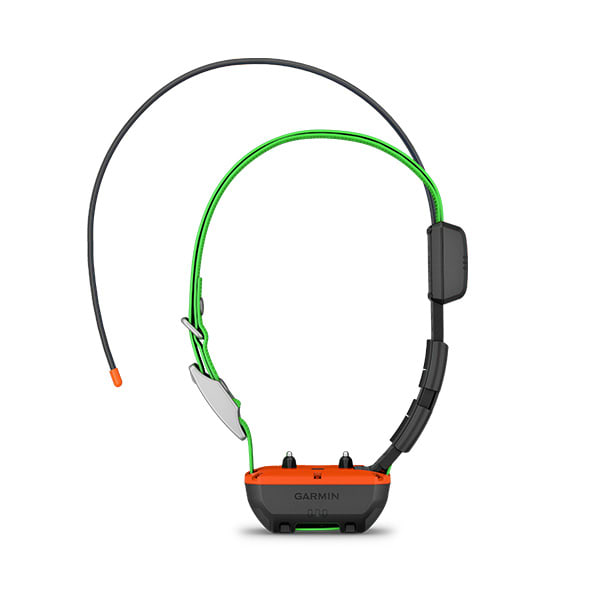
Alpha® TT 25 Dog Collar
$629.00 Add to cartOverview
TRACK AND TRAIN YOUR PACK
No matter what kind of dogs you run or how you hunt, is the slim, rugged and universally sized collar designed to help you build a better dog — no matter the breed.
TRACK YOUR DOG UP TO 14.5 KILOMETERS WHEN USED WITH A COMPATIBLE HANDHELD (SOLD SEPARATELY)
OPTIMISE YOUR BATTERY LIFE WITH DYNAMIC TRACKING
COLLAR IS UNIVERSALLY SIZED TO FIT LARGE AND SMALL BREEDS
EASILY CHANGE THE USER-REPLACEABLE FLEX BAND
TRAIN WITH STIM, TONE OR VIBE WHEN USED WITH A COMPATIBLE HANDHELD (SOLD SEPARATELY)
TRACKING
The top-mounted, high-sensitivity GPS and Galileo receiver keeps track of your dog’s location, and the Alpha TT 25 collar transmits that location via VHF up to 14.5 kilometers away with updates as frequent as every 2.5 seconds when used with a compatible handheld (sold separately).
TRAINING
Train your dog with 18 levels of continuous or momentary stimulation plus audible tone and vibration (when used with a compatible handheld; sold separately).
UNIVERSAL SIZING
A rugged yet slim design is universally sized to fit large and small breeds.
DYNAMIC TRACKING
Get extended battery life with dynamic tracking based on your dog’s movement.
Rugged design
The collar features a user-replaceable flex band that can withstand the toughest outdoor environments.
LED beacon lights
This collar features bright, multicolour LED beacon lights to help you identify and track your dog in low-light conditions. They can be remotely activated and changed from a compatible handheld (sold separately).
REPLACEABLE BATTERY PACKS
When using dynamic tracking, get up to 68 hours with the standard battery pack and up to 136 with the extended battery pack (sold separately).
AUTOMATIC UPDATES
PAIR WITH HANDHELDS
Customise your dog’s collar for the hunt with these accessories.
-
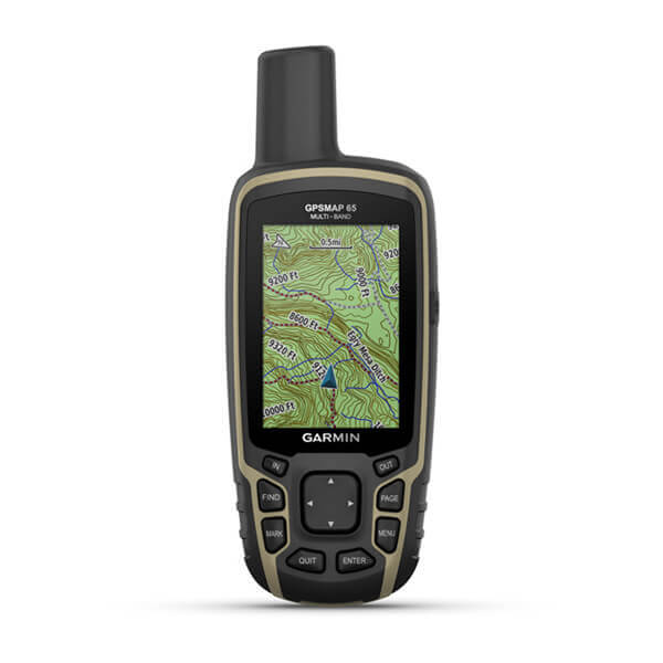
GPSMAP® 65
$599.01 Add to cartOverview
FIND YOUR WAY IN THIS BIG, WIDE WORLD
Explore more with this rugged handheld that offers optimal tracking accuracy, a 2.6-inch colour display and preloaded maps.
Don’t miss a detail with this large, sunlight-readable colour display.
Lead the way in challenging locations with multi-band technology and expanded GNSS satellite support.
Cross the countryside with routable TopoActive maps.
Venture confidently. This rugged handheld is built for tough environments.
Travel with up to 16 hours of battery life in GPS mode.
Follow your path.
EXPANDED GNSS SUPPORT
Multi-band technology and expanded GNSS support (GPS, GLONASS, Galileo, QZSS and IRNSS) provide optimal accuracy in steep country, urban canyons and forests with dense trees.
PRELOADED TOPOACTIVE AUSTRALIA AND NEW ZEALAND MAPS
SMART NOTIFICATIONS
GARMIN EXPLORE APP
MICROSD™ SLOT
GEOCACHING
Get automatic cache updates from Geocaching Live, including descriptions, logs and hints.
Garmin Explore app for off-grid navigation and more.
-
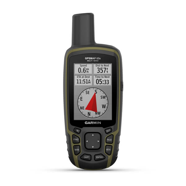
GPSMAP® 65s
$649.00 Add to cartOverview
FIND YOUR WAY IN THIS BIG, WIDE WORLD
Explore more with this rugged handheld that offers optimal tracking accuracy, a 2.6-inch colour display and preloaded maps.
Don’t miss a detail with this large, sunlight-readable colour display.
Lead the way in challenging locations with multi-band technology and expanded GNSS satellite support.
Cross the countryside with routable TopoActive maps.
Venture confidently. This rugged handheld is built for tough environments.
Travel with up to 16 hours of battery life in GPS mode.
Follow your path.
EXPANDED GNSS SUPPORT
Multi-band technology and expanded GNSS support (GPS, GLONASS, Galileo, QZSS and IRNSS) provide optimal accuracy in steep country, urban canyons and forests with dense trees.
PRELOADED TOPOACTIVE AUSTRALIA AND NEW ZEALAND MAPS
SMART NOTIFICATIONS
GARMIN EXPLORE APP
MICROSD™ SLOT
GEOCACHING
Get automatic cache updates from Geocaching Live, including descriptions, logs and hints.
Garmin Explore app for off-grid navigation and more.
-
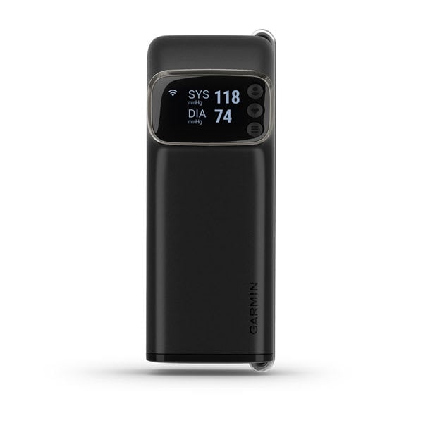
Index™ BPM Smart Blood Pressure Monitor
$249.00 Add to cartOverview
CHECK IN WITH YOUR BODY MORE OFTEN
Get accurate blood pressure readings on a compact, all-in-one device.
You have the option to see all the stats you care about in one place — the Garmin Connect™ app.
It's easy to view reports and share them with your health care provider.
This adjustable cuff fits just about anyone.
Keep track for up to 9 months with the included batteries, and easily replace them when you need to.
See a more complete picture of your health
BLOOD PRESSURE & HEART RATE READINGS
When used properly, the smart, upper arm blood pressure monitor delivers blood pressure and heart rate readings. You can take one measurement at a time, or three consecutively and get an average.
ALL-IN-ONE DESIGN
This compact, all-in-one device features an integrated display to view readings immediately after they are taken. The adjustable cuff fits a wide range of arm sizes, from 22 to 42 cm (9 to 17 inches) in circumference, and it folds up for easy storage or travel.
OPTIONAL GARMIN CONNECT SYNCING
SHARE REPORTS
If you sync your readings with your Garmin Connect account, you can view 7-day, 4-week and 1-year reports in the app and export them to a PDF. Then you can share it with your health care provider in person or attach it to an email.
SET UP REMINDERS
Using the Garmin Connect app — with notifications enabled on your compatible smartphone — you can set up reminders to take blood pressure readings.
UP TO 16 USERS
Using the Garmin Connect app, you can create up to 16 user profiles to keep track of individual readings on the Index BPM device. Each user also has the option to sync their own Garmin Connect account and view their own readings.
BATTERY LIFE
Get up to 9 months of battery life with the 4 included AAA batteries, and easily replace them when the time comes.
Smartwatches for all the ways you move.
See your stats, and track your goals in the Garmin Connect™ app.
Get a holistic view of your health with this smart scale.
-
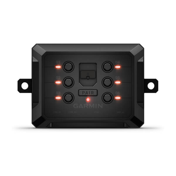
Garmin PowerSwitch™
$649.00 Add to cartOverview
ADD WIRELESS CONTROL FOR YOUR VEHICLE’S ELECTRICAL ACCESSORIES
Installation is a snap — no cutting into dashboards or interference with your vehicle’s electronics.
Use your device’s touchscreen to wirelessly access up to six switch outputs of 30 amps each.
Tailor on-screen switch panels with customisable labels, icons, channel groups and more.
Want to control more? You can access up to four Garmin PowerSwitch devices from the same display.
SHOW US WHAT YOU’VE GOT. TAG @GARMIN ON INSTAGRAM.
Control accessories from your smartphone or navigation display.
THE APP
WIRELESS SWITCH CONTROL
MORE CONTROL
IN-DASH CONNECTIVITY
Get connectivity without complexity.
INSTALL MADE SIMPLE
Hassle-free installation lets you connect up to six accessories to one Garmin PowerSwitch box. There’s no interference with your vehicle electronics and no need to cut holes in your dashboard or route wires through the firewall.
COMPACT FOR EASY MOUNTING
The compact 5″ x 3″ x 1″ (12.5 x 7.5 x 3 cm) form factor gives you plenty of flexible mounting options on all types of vehicles, ranging from side-by-sides, UTVs and ATVs to off-roading 4x4s and snowmobiles.
CUSTOMISE SWITCHES
Create custom virtual switch panels with labels, icons and channel groups on the display as well as controls for dimming and flashing of lighting systems. It’s the simple way to control light bars, rock lights and more.
Easily add and control customised electronics.
AMPLE OUTLETS
With a total of six circuits rated at up to 30 amps each, you can power and control all types of 12-volt accessories from one Garmin PowerSwitch digital switch box. (Not intended for controlling motors with reverse polarity)
CONTROL INPUTS
Includes two control inputs that detect a signal from 3.3-volt to 18-volt that can be used to turn on the customisable outputs. For example, you can connect your vehicle ignition switch to a control input terminal to turn on accessories automatically each time you start your vehicle.
LIGHT IT UP
The Garmin PowerSwitch system makes it easy to add all types of exterior lighting packages to your vehicle — everything from light bars and fog lights to emergency flashers and rear and rock lights.
POWER YOUR ADVENTURES
In addition to vehicle lights, you can tap into Garmin PowerSwitch with all types of useful gear: comm radios, refrigerators, air compressors or virtually anything that can run with 12-volt power.
-
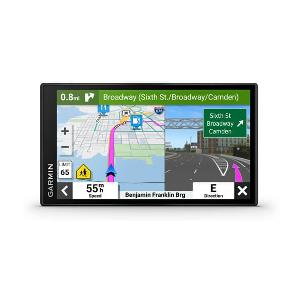
Garmin DriveSmart™ 66
$429.00 Add to cart<p> <a href="https://www.garmin.com/en-AU/c/automotive/car-gps-navigation/">Click here to check out our newest products</a> </p>
Overview
SIMPLIFY YOUR DRIVE
Enjoy peace of mind with the 5.5-inch Garmin DriveSmart 55 MT-S GPS sat nav. Live Traffic and map updates are included along with driver alerts to encourage safer driving.
Be road-trip ready with a big, bright 5.5″ display and easy-to-see maps.
Talk to me. Enjoy convenient Garmin voice assist for directions and hands-free calling.
Make all the right moves with clear, detailed map updates of Europe.
Welcome to smarter driving.
VOICE ASSIST
Need directions? Just say the word. DriveSmart 55 MT-S responds to your spoken requests and then navigates to wherever you need to go.
WIRELESS UPDATES
LIVE TRAFFIC AND WEATHER
HANDS-FREE CALLING
Smart notifications
Just look ahead and drive.
TRIPADVISOR
View Tripadvisor traveller ratings for hotels, restaurants and attractions along your route or near your destination.
GARMIN REAL DIRECTIONS™
Easy-to-understand, spoken turn-by-turn directions guide like a friend, using street names, store names and recognisable landmarks.
DRIVER ALERTS
To encourage safer driving and increase situational awareness, driver alerts warn you of upcoming sharp curves, speed changes, railway crossings and more.
FIND PLACES BY NAME
CHECK UP AHEAD
A useful Up Ahead feature shows upcoming stops for food, fuel and other milestones — such as upcoming cities — along your route.
MAP COVERAGE
Drive confidently with the latest map updates and preloaded street maps for Europe.
WANT MORE?
-
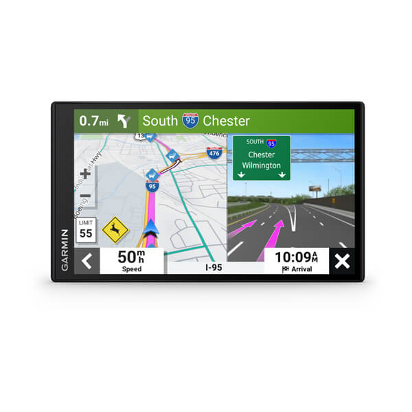
Garmin DriveSmart™ 76
$499.00 Add to cart<p> <a href="https://www.garmin.com/en-AU/c/automotive/car-gps-navigation/">Click here to check out our newest products</a> </p>
Overview
SIMPLIFY YOUR DRIVE
Enjoy peace of mind with the 5.5-inch Garmin DriveSmart 55 MT-S GPS sat nav. Live Traffic and map updates are included along with driver alerts to encourage safer driving.
Be road-trip ready with a big, bright 5.5″ display and easy-to-see maps.
Talk to me. Enjoy convenient Garmin voice assist for directions and hands-free calling.
Make all the right moves with clear, detailed map updates of Europe.
Welcome to smarter driving.
VOICE ASSIST
Need directions? Just say the word. DriveSmart 55 MT-S responds to your spoken requests and then navigates to wherever you need to go.
WIRELESS UPDATES
LIVE TRAFFIC AND WEATHER
HANDS-FREE CALLING
Smart notifications
Just look ahead and drive.
TRIPADVISOR
View Tripadvisor traveller ratings for hotels, restaurants and attractions along your route or near your destination.
GARMIN REAL DIRECTIONS™
Easy-to-understand, spoken turn-by-turn directions guide like a friend, using street names, store names and recognisable landmarks.
DRIVER ALERTS
To encourage safer driving and increase situational awareness, driver alerts warn you of upcoming sharp curves, speed changes, railway crossings and more.
FIND PLACES BY NAME
CHECK UP AHEAD
A useful Up Ahead feature shows upcoming stops for food, fuel and other milestones — such as upcoming cities — along your route.
MAP COVERAGE
Drive confidently with the latest map updates and preloaded street maps for Europe.
WANT MORE?
-
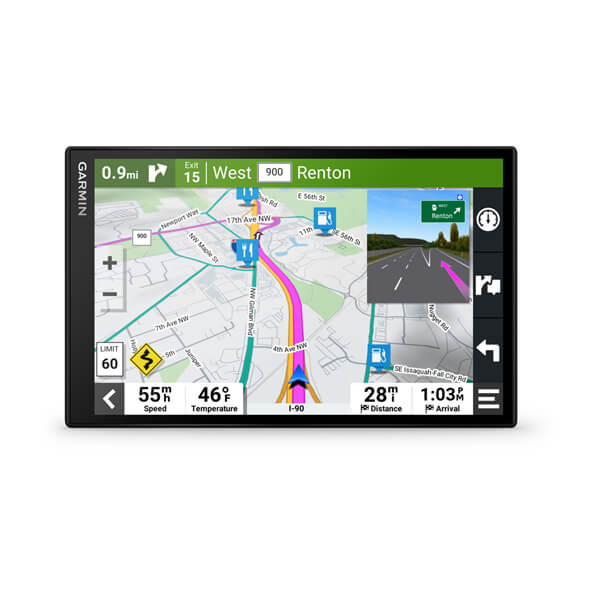
Garmin DriveSmart™ 86
$599.01 Add to cart<p> <a href="https://www.garmin.com/en-AU/c/automotive/car-gps-navigation/">Click here to check out our newest products</a> </p>
Overview
SIMPLIFY YOUR DRIVE
Enjoy peace of mind with the 5.5-inch Garmin DriveSmart 55 MT-S GPS sat nav. Live Traffic and map updates are included along with driver alerts to encourage safer driving.
Be road-trip ready with a big, bright 5.5″ display and easy-to-see maps.
Talk to me. Enjoy convenient Garmin voice assist for directions and hands-free calling.
Make all the right moves with clear, detailed map updates of Europe.
Welcome to smarter driving.
VOICE ASSIST
Need directions? Just say the word. DriveSmart 55 MT-S responds to your spoken requests and then navigates to wherever you need to go.
WIRELESS UPDATES
LIVE TRAFFIC AND WEATHER
HANDS-FREE CALLING
Smart notifications
Just look ahead and drive.
TRIPADVISOR
View Tripadvisor traveller ratings for hotels, restaurants and attractions along your route or near your destination.
GARMIN REAL DIRECTIONS™
Easy-to-understand, spoken turn-by-turn directions guide like a friend, using street names, store names and recognisable landmarks.
DRIVER ALERTS
To encourage safer driving and increase situational awareness, driver alerts warn you of upcoming sharp curves, speed changes, railway crossings and more.
FIND PLACES BY NAME
CHECK UP AHEAD
A useful Up Ahead feature shows upcoming stops for food, fuel and other milestones — such as upcoming cities — along your route.
MAP COVERAGE
Drive confidently with the latest map updates and preloaded street maps for Europe.
WANT MORE?
-

Varia™ RCT715/716
$699.00 Add to cartOverview
SEE AND BE SEEN
Reliable rearview radar lets you ride like you know what’s coming.
One radar. Multiple display options. Pair it with your compatible Garmin device, your phone or both.
The Varia™ app has you covered if you’re using your phone as a primary or backup display.
Shine brighter. Daylight visibility lets approaching vehicles see you from up to a mile away.
It’s small, it’s easy to mount, and it works with just about any bike.
Get more life out of your radar with up to 16 hours of battery life in day flash mode.
Ride with peace of mind.
MAXIMUM AWARENESS
Varia™ RTL515 rearview radar provides visual and audible alerts for vehicles approaching from behind up to 140 metres away.
WORKS WITH THE VARIA APP
MULTIPLE PAIRING OPTIONS
THIRD-PARTY APP COMPATIBLE
When used with a compatible smartphone, Varia radar integrates with your favourite apps, such as Ride with GPS to overlay your maps with rearview radar alerts.
SUPERIOR VISIBILITY
Alert motorists to your presence as soon as possible with daylight visibility up to 1 mile.
COMPACT DESIGN
Easily mount this sleek, compact device on the seatpost of almost any road-use bicycle. The vertical design allows for better leg clearance and a perfectly comfortable ride.
PELOTON MODE
Varia™ RTL515 features multiple modes, including peloton mode, which provides a low-intensity flash that is kind to other cyclists’ eyes when riding in a group.
BATTERY LIFE
Time spent charging is not as good as time spent riding. Get up to 16 hours of battery life in day flash mode and up to 6 hours in solid mode.
-

Tread® - SxS Edition, Europe
$2549.00 Add to cartOverview
Navigate the unforgiving
Built for high speed and high performance, this rugged off-road chase navigator has the tools you need to stay on track and the communication technology to stay in touch with global satellite coverage. With Tread XL - Baja Chase Edition, you'll know where your race vehicle is and be able to communicate and support your team if any challenges come up or if you need to coordinate repairs.
GPX course file-compatibility lets you view course start/end, racetrack line, virtual checkpoints, pit locations and race mile markers.
This rugged navigator is IP67 dust and weather-resistant and has a 10″ ultrabright touchscreen display.
Get prerunning tools for creating custom pace notes — such as “sharp turn” — to help navigate your most efficient route through virtual checkpoints.
The Tread Baja Chase Edition includes a heavy-duty suction cup for easy portability from one support truck to another.
Put your device in chase mode to track your race vehicle with real-time updates on the map.
Be ready to support your race vehicle.
TEAM TRACKING
EASY PORTABILITY
The Tread Baja Chase Edition has a heavy-duty suction cup, vehicle power cable and robust, portable mounting hardware to easily move from one chase truck to another.
KNOW THE COURSE
Import the GPX data ahead of time to view the course start/end, racetrack line, all virtual checkpoints, pit locations and race mile markers.
PRERUNNING TOOLS
Prerunning tools let you create custom pace notes — such as “sharp turn,” “stepdown” or “danger” — to help you anticipate obstacles and navigate the most efficient route through all virtual checkpoints.
TRACK YOUR TRUCK
When in chase mode, use your device to track a race vehicle with real-time updates on the map.
HIGH-PERFORMANCE GPS
CONTROL YOUR ACCESSORIES
OFF-ROAD RUGGEDNESS
TEAM TRACKING PLANS
Enjoy team tracking with unlimited SOS, text messages and more ( requires active).
SATELLITE IMAGERY
OUTDOOR MAPS+
Track your team with an inReach Flex Team subscription.
Control your vehicle's accessories with Garmin PowerSwitch™.
See what's behind your vehicle with a Garmin backup camera.
Support your need to wander with off-road maps for every adventure
-
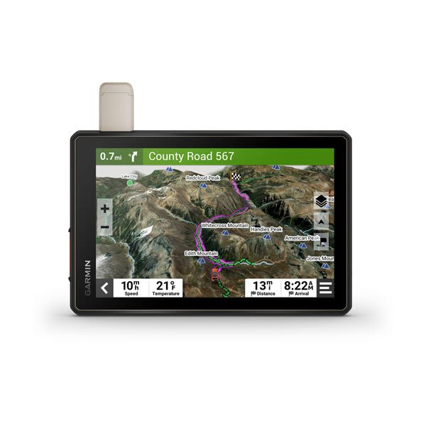
Tread® - Overland Edition
$2199.00 Add to cartOverview
ROAM THE UNKNOWN
Built for every part of the journey, this rugged all-terrain sat-nav has the mapping you need to stay on track and communication technology to stay in touch while you’re out there.
Built for the journey ahead.
OFF-ROAD RUGGEDNESS
HIGH-VISIBILITY DISPLAY
With its ultrabright 8″ glove-friendly touchscreen, the sat-nav is designed for easy viewing in bright sunlight or pitch dark. It can be mounted in portrait or landscape mode.
TRAIL NAVIGATION
BUILT-IN INREACH TECHNOLOGY
MAPS ON AND OFF-ROAD
OUTDOOR MAPS+
SATELLITE IMAGERY
POINTS OF INTEREST
Tread comes preloaded with iOverlander points of interest, ACSI™, Campercontact™ and Trailer’s PARK™ so you don’t need a mobile phone signal to route to the best-established, wild and dispersed campsites.
ABC SENSORS
When you’re headed to tough-terrain, the built-in sensors will come in handy — including an altimeter, barometer, compass and pitch/roll gauges.
SECURE MOUNT
Use the included locking magnet-assisted mount to secure the sat-nav to your vehicle.
Connect for a better adventure.
GROUP RIDE MOBILE
EASY ROUTE PLANNER
Use the Tread app to easily plan routes with the same maps, vehicle profiles and route preferences that you have on the Tread device.
EASILY SYNC YOUR DEVICES
Use the Tread app to sync waypoints, tracks, routes and collections across all your devices. Easily import and share GPX files, too.
LIVE WEATHER
Weather ahead? Pair your Tread device with your compatible smartphone, and download the Tread app to access live weather, storm alerts, animated radar and more.
Overlanding equipment for expeditions.
CONTROL YOUR ACCESSORIES
GROUP RIDE TRACKER
TRACK YOUR DOG PACK
See what’s behind your vehicle with a Garmin backup camera.
Support your need to wander with off-road maps for every adventure
Control your vehicle’s accessories with Garmin PowerSwitch™.
Get more from your Tread® device with the Tread® app.
-
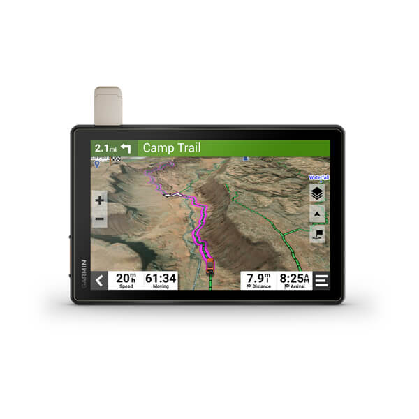
Tread® XL - Overland Edition
$2549.00 Add to cartOverview
Navigate the unforgiving
Built for high speed and high performance, this rugged off-road chase navigator has the tools you need to stay on track and the communication technology to stay in touch with global satellite coverage. With Tread XL - Baja Chase Edition, you'll know where your race vehicle is and be able to communicate and support your team if any challenges come up or if you need to coordinate repairs.
GPX course file-compatibility lets you view course start/end, racetrack line, virtual checkpoints, pit locations and race mile markers.
This rugged navigator is IP67 dust and weather-resistant and has a 10″ ultrabright touchscreen display.
Get prerunning tools for creating custom pace notes — such as “sharp turn” — to help navigate your most efficient route through virtual checkpoints.
The Tread Baja Chase Edition includes a heavy-duty suction cup for easy portability from one support truck to another.
Put your device in chase mode to track your race vehicle with real-time updates on the map.
Be ready to support your race vehicle.
TEAM TRACKING
EASY PORTABILITY
The Tread Baja Chase Edition has a heavy-duty suction cup, vehicle power cable and robust, portable mounting hardware to easily move from one chase truck to another.
KNOW THE COURSE
Import the GPX data ahead of time to view the course start/end, racetrack line, all virtual checkpoints, pit locations and race mile markers.
PRERUNNING TOOLS
Prerunning tools let you create custom pace notes — such as “sharp turn,” “stepdown” or “danger” — to help you anticipate obstacles and navigate the most efficient route through all virtual checkpoints.
TRACK YOUR TRUCK
When in chase mode, use your device to track a race vehicle with real-time updates on the map.
HIGH-PERFORMANCE GPS
CONTROL YOUR ACCESSORIES
OFF-ROAD RUGGEDNESS
TEAM TRACKING PLANS
Enjoy team tracking with unlimited SOS, text messages and more ( requires active).
SATELLITE IMAGERY
OUTDOOR MAPS+
Track your team with an inReach Flex Team subscription.
Control your vehicle's accessories with Garmin PowerSwitch™.
See what's behind your vehicle with a Garmin backup camera.
Support your need to wander with off-road maps for every adventure
-
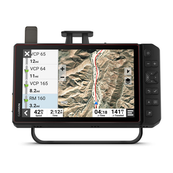
Tread® XL - Baja Race Edition
$4199.00 Add to cartOverview
Navigate the unforgiving
Built for high speed and high performance, this rugged off-road chase navigator has the tools you need to stay on track and the communication technology to stay in touch with global satellite coverage. With Tread XL - Baja Chase Edition, you'll know where your race vehicle is and be able to communicate and support your team if any challenges come up or if you need to coordinate repairs.
GPX course file-compatibility lets you view course start/end, racetrack line, virtual checkpoints, pit locations and race mile markers.
This rugged navigator is IP67 dust and weather-resistant and has a 10″ ultrabright touchscreen display.
Get prerunning tools for creating custom pace notes — such as “sharp turn” — to help navigate your most efficient route through virtual checkpoints.
The Tread Baja Chase Edition includes a heavy-duty suction cup for easy portability from one support truck to another.
Put your device in chase mode to track your race vehicle with real-time updates on the map.
Be ready to support your race vehicle.
TEAM TRACKING
EASY PORTABILITY
The Tread Baja Chase Edition has a heavy-duty suction cup, vehicle power cable and robust, portable mounting hardware to easily move from one chase truck to another.
KNOW THE COURSE
Import the GPX data ahead of time to view the course start/end, racetrack line, all virtual checkpoints, pit locations and race mile markers.
PRERUNNING TOOLS
Prerunning tools let you create custom pace notes — such as “sharp turn,” “stepdown” or “danger” — to help you anticipate obstacles and navigate the most efficient route through all virtual checkpoints.
TRACK YOUR TRUCK
When in chase mode, use your device to track a race vehicle with real-time updates on the map.
HIGH-PERFORMANCE GPS
CONTROL YOUR ACCESSORIES
OFF-ROAD RUGGEDNESS
TEAM TRACKING PLANS
Enjoy team tracking with unlimited SOS, text messages and more ( requires active).
SATELLITE IMAGERY
OUTDOOR MAPS+
Track your team with an inReach Flex Team subscription.
Control your vehicle's accessories with Garmin PowerSwitch™.
See what's behind your vehicle with a Garmin backup camera.
Support your need to wander with off-road maps for every adventure
-
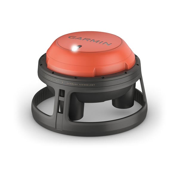
Descent™ S1 Buoy
$4449.01 Add to cartOverview
SONAR COMMUNICATION: YOUR DEEPER CONNECTION
ONCE THEY’VE SURFACED, DIVERS CAN REVIEW HEATMAPS OF WHERE THEY EXPLORED
POWER A FULL DAY OF DIVING WITH UP TO 15 HOURS OF BATTERY LIFE
SHOW US WHAT YOU’VE GOT. TAG @GARMIN ON INSTAGRAM.
REMOTE DIVER MONITORING
TWO-WAY MESSAGING
DIVER LOCATION TRACKING
FIND MY BUOY
POST-DIVE REVIEW
After surfacing, networked divers can review their underwater heatmaps on the Garmin Dive smartphone app to see approximately where they were exploring.
RUGGED DESIGN
LONG BATTERY LIFE
The rechargeable lithium battery gives up to 15 hours of battery life, letting you dive longer between recharges.
SECURE CONNECTIVITY
Wi-Fi® technology wirelessly connects the buoy to the Garmin Dive smart-device app within a range of up to 60 metres.
MULTI-GNSS SUPPORT
On the surface, multiple satellite systems (GPS and GLONASS) aid signal reception in challenging environments.
-

Instinct® 2S - Camo Edition
$589.00 Add to cartOverview
WHATEVER YOU DO, OWN IT
This rugged, solar charging GPS smartwatch is tough enough to keep up with you and unique enough to fit your style. Now it comes in two sizes to fit every wrist.
This watch is tough, which means no holding back.
Train your way with built-in sports apps at the wrist.
Push boundaries, but stay on track with access to more satellites.
Understand your body better with 24/7 health monitoring.
ENGINEERED FOR ENDURANCE
DESIGNED TO DO YOU
Bold colours, high-contrast displays and size options let you show the world that you do things your own way.
GET MORE BATTERY OUT OF LIFE
SHOW US WHAT YOU’VE GOT. TAG @GARMIN ON INSTAGRAM.
Track every adventure.
MULTI-GNSS SUPPORT
Whether you’re hiking, mountain biking, trail running or skiing, you’ll have access to multiple global navigation satellite systems (GPS, GLONASS and Galileo) to track in more challenging environments than GPS alone.
ABC SENSORS
Navigate your next trail with ABC sensors, including an altimeter for elevation data, barometer to monitor weather and 3-axis electronic compass.
TRACBACK® ROUTING
Take the guesswork out of your return journey by using this feature to navigate the same route back to your starting point.
REFERENCE POINT
Keep track of a known place — such as your car or the trailhead — relative to your location, and easily find your way back to it.
Live connected.
SMART NOTIFICATIONS
CONNECT IQ™ STORE
GARMIN PAY™ CONTACTLESS PAYMENTS
SAFETY AND TRACKING FEATURES
CALENDAR VIEW
SYNC WITH THE GARMIN CONNECT™ APP
Train your way.
BUILT-IN SPORTS APPS
Do whatever you love with preloaded activity profiles for running, cycling, swimming, strength training, indoor climbing, virtual running, golf, yoga and more.
HIIT WORKOUTS
This activity profile tracks your HIIT workouts, including AMRAP, EMOM, Tabata and custom. Set the number of rounds, work/rest intervals and more.
VO2 MAX
DAILY WORKOUT SUGGESTIONS
RECOVERY TIME
After each workout, recovery time lets you know when you’ll be ready for another hard workout. It even accounts for training intensity and factors such as stress, daily activity and sleep.
BACKCOUNTRY SKIING AND SNOWBOARDING
These activity profiles now automatically distinguish between descending and climbing. So you can hit start on your first run and leave your smartwatch tracking all day long.
MTB DYNAMICS
Track the details of every ride with mountain biking metrics plus specialised Grit™ and Flow™ measurements that rate trail difficulty and how smoothly you descend, giving you a score to beat next time.
WRIST-BASED RUNNING POWER
See how much power you’re applying to the trail or the road so you can manage your effort and fine-tune your training. No accessory required.
Know your body.
WRIST-BASED HEART RATE
STRESS TRACKING
Heart rate variability is used to calculate your stress level score, so you can see if you’re having a calm, balanced or stressful day.
SLEEP SCORE AND ADVANCED SLEEP MONITORING
Get a full breakdown of your light, deep and REM sleep stages. View it all on a dedicated widget that includes your sleep score and insights.
BODY BATTERY™ ENERGY MONITORING
Optimise your body’s energy reserves, using heart rate variability, stress, sleep and other data to gauge when you’re ready to be active or when you may need to rest.
PULSE OX
FITNESS AGE
This feature uses chronological age, your weekly vigorous activity, resting heart rate and BMI to estimate if your body is younger or older than you are. Get tips to lower your fitness age.
INTENSITY MINUTES
Track how many minutes of vigorous activity you’re getting, when you earn them and during which activity. You can even view them as a data field during timed activities.
WOMEN’S HEALTH TRACKING
QuickFit® accessory bands let you match your style with no tools required.
Customise your Garmin device using the Connect IQ™ Store
See your stats, and track your goals in the Garmin Connect™ app.
-
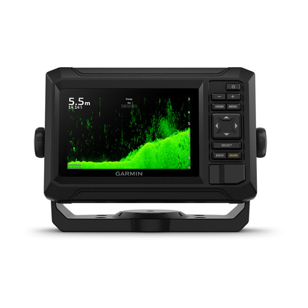
ECHOMAP™ UHD2 5" cv Chartplotters
$789.00 Add to cart<p><a href="https://support.garmin.com/en-US/?faq=C44jTuNilt5QAldhVdWTQ7">Garmin Navionics+ Built-In Coverage </a></p>
Overview
KNOW THE WATER BETTER THAN A LOCAL
When it comes to catching more fish, they say, “Talk to a local.” With the ECHOMAP UHD2 chartplotter, which offers our best-in-class sonar and mapping and premium touchscreen display with keyed-assist, you’ll know the water even better than they do.
The bright 6″, 7″ or 9″ touchscreen display with keyed-assist is user-friendly and easy to read.
Good things come in threes. Three sonar types, that is: Garmin traditional, ClearVü™ and SideVü™ sonars.
Improved detail? Check. Distinguished targets? Yep. That’s the beauty of high-contrast vivid colour palettes.
If you’re running another ECHOMAP UHD2 chartplotter, you can wirelessly share sonar, waypoints and routes.
Want our best in mapping? Who doesn’t? Select chartplotters come with Garmin Navionics+™ mapping.
It doesn't get any better than this.
SONAR SUPPORT
With crisp, clear traditional sonar and brilliant ClearVü and SideVü scanning sonars, the fish will have nowhere to hide. Your ECHOMAP UHD2 also supports LiveScope™ live-scanning sonar.
VIVID COLOUR PALETTES
High-contrast vivid scanning sonar colour palettes make it easier than ever to distinguish targets and structure.
BUNDLE YOUR TRANSDUCER
PRELOADED CHARTS
WIRELESS NETWORKING
Auto Guidance+™ technology
CHARGE INTEGRATION FROM POWER-POLE
Your CHARGE Marine Power Manager from Power-Pole integrates with compatible Garmin chartplotters to help keep your battery power going longer and stronger on the water. You’re able to charge batteries on the run, monitor power use, select where power is allocated, control emergency starts and even transfer power between battery banks — all from your chartplotter display.
Multi-band gps
Get improved position accuracy, particularly in areas where signals are reflected or weak, with multi-band GPS.
Manage your marine experience using the free ActiveCaptain® app.
Powerful. Efficient. Quiet. Force™ trolling motor.
-
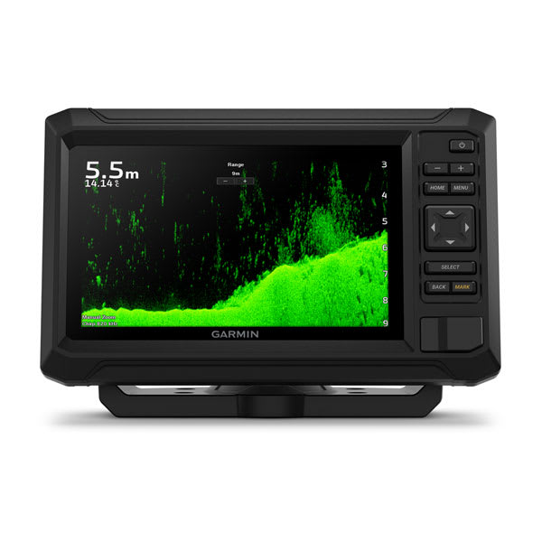
ECHOMAP™ UHD2 7" cv Chartplotters
$1149.01 Add to cart<p><a href="https://support.garmin.com/en-US/?faq=C44jTuNilt5QAldhVdWTQ7">Garmin Navionics+ Built-In Coverage </a></p>
Overview
KNOW THE WATER BETTER THAN A LOCAL
When it comes to catching more fish, they say, “Talk to a local.” With the ECHOMAP UHD2 chartplotter, which offers our best-in-class sonar and mapping and premium touchscreen display with keyed-assist, you’ll know the water even better than they do.
The bright 6″, 7″ or 9″ touchscreen display with keyed-assist is user-friendly and easy to read.
Good things come in threes. Three sonar types, that is: Garmin traditional, ClearVü™ and SideVü™ sonars.
Improved detail? Check. Distinguished targets? Yep. That’s the beauty of high-contrast vivid colour palettes.
If you’re running another ECHOMAP UHD2 chartplotter, you can wirelessly share sonar, waypoints and routes.
Want our best in mapping? Who doesn’t? Select chartplotters come with Garmin Navionics+™ mapping.
It doesn't get any better than this.
SONAR SUPPORT
With crisp, clear traditional sonar and brilliant ClearVü and SideVü scanning sonars, the fish will have nowhere to hide. Your ECHOMAP UHD2 also supports LiveScope™ live-scanning sonar.
VIVID COLOUR PALETTES
High-contrast vivid scanning sonar colour palettes make it easier than ever to distinguish targets and structure.
BUNDLE YOUR TRANSDUCER
PRELOADED CHARTS
WIRELESS NETWORKING
Auto Guidance+™ technology
CHARGE INTEGRATION FROM POWER-POLE
Your CHARGE Marine Power Manager from Power-Pole integrates with compatible Garmin chartplotters to help keep your battery power going longer and stronger on the water. You’re able to charge batteries on the run, monitor power use, select where power is allocated, control emergency starts and even transfer power between battery banks — all from your chartplotter display.
Multi-band gps
Get improved position accuracy, particularly in areas where signals are reflected or weak, with multi-band GPS.
Manage your marine experience using the free ActiveCaptain® app.
Powerful. Efficient. Quiet. Force™ trolling motor.
-
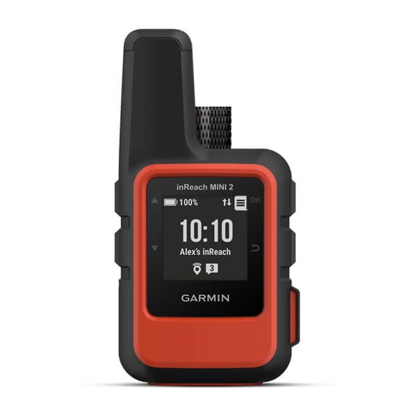
inReach® Mini 2
$679.00 Add to cartOverview
HOME IS CLOSER THAN YOU THINK
Global satellite coverage keeps you connected when mobile phones can’t.
In an emergency, send an interactive SOS message to our coordination centre.
You can still connect to the ones who matter, even without mobile phone coverage.
Expand the capabilities of your inReach device by using the Garmin Explore™ smart-device app.
Stay on adventures longer with up to 14 days of battery life in 10-minute tracking mode.
Stay in touch using inReach technology.
MARINE BUNDLE
The bundle includes a screw down mount and power cable, so you can mount your inReach device at your helm for easy access in a moment’s notice.
TWO-WAY MESSAGING
Exchange text messages with loved ones back home or communicate inReach to inReach in the field.
INTERACTIVE SOS ALERTS
LOCATION SHARING
Share a LiveTrack feature link with your friends and family so they can see your current location, track your progress and more.
GLOBAL SATELLITE NETWORK
FLEXIBLE SATELLITE AIRTIME PLANS
COMPACT, RUGGED DESIGN
AUGMENTED WITH ACCESSORIES
Your adventure-ready companion.
TRACBACK ROUTING
The TracBack routing feature navigates you back to your starting point the same way you came, should you get lost — right on your device.
DIGITAL COMPASS
Get accurate heading information — even when you’re not moving.
BATTERY LIFE
The internal, rechargeable lithium battery gives you up to 14 days of use at the default 10-minute tracking mode and up to 30 days with a 30-minute tracking interval.
INREACH WEATHER FORECAST SERVICE
Get detailed weather updates on inReach Mini 2 or a paired compatible device. You can even request forecasts for your current location or other waypoints or destinations on your itinerary.
UNLIMITED CLOUD STORAGE AND TRIP PLANNING
Get free access to the cloud-powered Garmin Explore website on your computer to plan your trips, create preset messages and quick texts, sync and manage your device settings, and much more.
Connect to more capabilities.
Garmin Explore app
GARMIN MESSENGER™ APP
OTHER GARMIN DEVICES
Remotely control inReach Mini 2 to send and receive messages, start and stop tracking, and trigger an interactive SOS using compatible Garmin handhelds, wearables or other mobile devices.
inReach subscription
Garmin Explore™ App for off-grid navigation and more
-
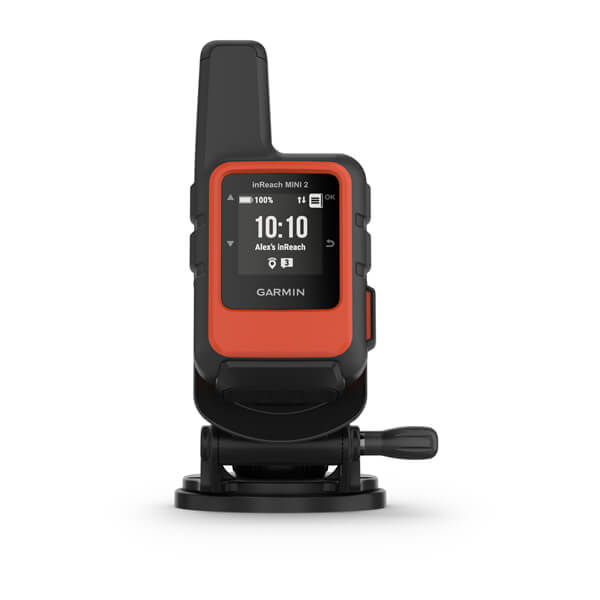
inReach® Mini 2 Marine Bundle
$719.00 Add to cartOverview
HOME IS CLOSER THAN YOU THINK
Global satellite coverage keeps you connected when mobile phones can’t.
In an emergency, send an interactive SOS message to our coordination centre.
You can still connect to the ones who matter, even without mobile phone coverage.
Expand the capabilities of your inReach device by using the Garmin Explore™ smart-device app.
Stay on adventures longer with up to 14 days of battery life in 10-minute tracking mode.
Stay in touch using inReach technology.
MARINE BUNDLE
The bundle includes a screw down mount and power cable, so you can mount your inReach device at your helm for easy access in a moment’s notice.
TWO-WAY MESSAGING
Exchange text messages with loved ones back home or communicate inReach to inReach in the field.
INTERACTIVE SOS ALERTS
LOCATION SHARING
Share a LiveTrack feature link with your friends and family so they can see your current location, track your progress and more.
GLOBAL SATELLITE NETWORK
FLEXIBLE SATELLITE AIRTIME PLANS
COMPACT, RUGGED DESIGN
AUGMENTED WITH ACCESSORIES
Your adventure-ready companion.
TRACBACK ROUTING
The TracBack routing feature navigates you back to your starting point the same way you came, should you get lost — right on your device.
DIGITAL COMPASS
Get accurate heading information — even when you’re not moving.
BATTERY LIFE
The internal, rechargeable lithium battery gives you up to 14 days of use at the default 10-minute tracking mode and up to 30 days with a 30-minute tracking interval.
INREACH WEATHER FORECAST SERVICE
Get detailed weather updates on inReach Mini 2 or a paired compatible device. You can even request forecasts for your current location or other waypoints or destinations on your itinerary.
UNLIMITED CLOUD STORAGE AND TRIP PLANNING
Get free access to the cloud-powered Garmin Explore website on your computer to plan your trips, create preset messages and quick texts, sync and manage your device settings, and much more.
Connect to more capabilities.
Garmin Explore app
GARMIN MESSENGER™ APP
OTHER GARMIN DEVICES
Remotely control inReach Mini 2 to send and receive messages, start and stop tracking, and trigger an interactive SOS using compatible Garmin handhelds, wearables or other mobile devices.
inReach subscription
Garmin Explore™ App for off-grid navigation and more
-
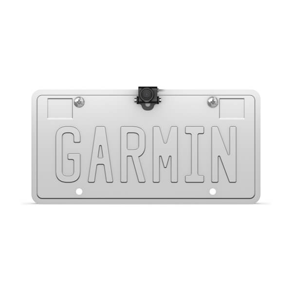
BC™ 50 Wireless Backup Camera
$349.00 Add to cartOverview
IT’S GOT YOUR BACK
Reverse with confidence, even in larger vehicles or with trailers. This wireless backup camera gives you a clear view on your compatible Garmin sat nav.
See a clear view behind your vehicle on your compatible sat nav when in reverse.
A long transmission range makes this camera ideal for longer vehicles.
A wide field of view gives a full picture of what’s behind your vehicle.
Rugged design lets you take on harsh road conditions with no worries.
Connect the camera to your vehicle’s reverse lights (professional installation recommended).
See exactly where you’re going.
LONG RANGE
Your backup camera’s signal reaches up to a 50 feet (15 m) true working range, which means your sat nav will wirelessly connect, even in longer campers, trucks and trailers.
HIGH-DEFINITION RESOLUTION
When paired with your compatible Garmin sat nav, up to 720p HD resolution gives you a vivid picture of your environment.
BROAD FIELD OF VIEW
A 160-degree field of view means you’ll see what’s coming from behind your vehicle while you’re in reverse.
Rugged design
OPTIONAL EXTENSION
POWER SOURCE
BC 50 requires connection to a switched power source, such as your vehicle’s reverse lights (professional installation recommended).
Pair your truck’s camera to a dēzl™ LGV sat nav
Simplify your drive with the Garmin Drive™ sat nav series
-
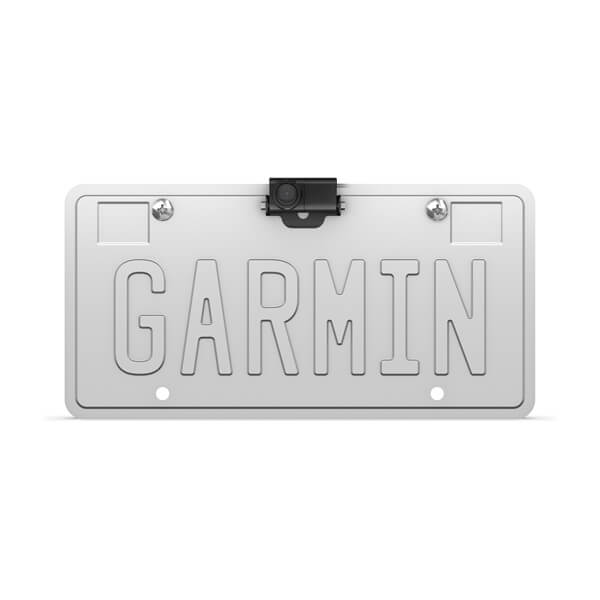
BC™ 50 Wireless Backup Camera with Night Vision
$499.00 Add to cartOverview
IT’S GOT YOUR BACK
Reverse with confidence, even in larger vehicles or with trailers. This wireless backup camera gives you a clear view on your compatible Garmin sat nav.
See a clear view behind your vehicle on your compatible sat nav when in reverse.
A long transmission range makes this camera ideal for longer vehicles.
A wide field of view gives a full picture of what’s behind your vehicle.
Rugged design lets you take on harsh road conditions with no worries.
Connect the camera to your vehicle’s reverse lights (professional installation recommended).
See exactly where you’re going.
LONG RANGE
Your backup camera’s signal reaches up to a 50 feet (15 m) true working range, which means your sat nav will wirelessly connect, even in longer campers, trucks and trailers.
HIGH-DEFINITION RESOLUTION
When paired with your compatible Garmin sat nav, up to 720p HD resolution gives you a vivid picture of your environment.
BROAD FIELD OF VIEW
A 160-degree field of view means you’ll see what’s coming from behind your vehicle while you’re in reverse.
Rugged design
OPTIONAL EXTENSION
POWER SOURCE
BC 50 requires connection to a switched power source, such as your vehicle’s reverse lights (professional installation recommended).
Pair your truck’s camera to a dēzl™ LGV sat nav
Simplify your drive with the Garmin Drive™ sat nav series
-
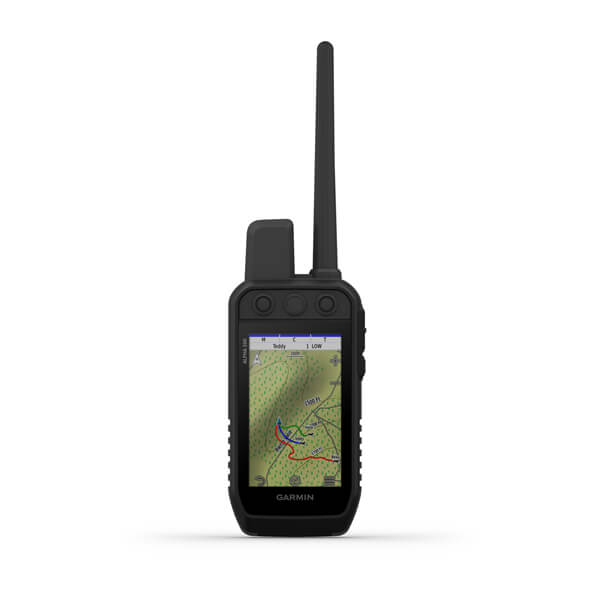
Alpha® 200
$999.00 Add to cart<p><a href="https://explore.garmin.com/en-AU/inreach/#subscriptions">Learn more about inReach satellite subscription plans</a></p>
Overview
STRONG CONNECTION. STRONG BOND.
This system is designed to help make tracking and training simple, accessible and fast.
Keep inactive dogs in the system for easier setup and management.
Navigate every hunt with the best in Garmin mapping and sensors.
User-replaceable battery lasts up to 20 hours; up to 15 hours with inReach technology enabled.
Take dog tracking and training to the next level.
TRACK YOUR PACK
Monitor up to 20 dogs from up to %%10 km (depending on dog collar) with a 2.50-second update rate.
DOG LIST/GROUP MANAGEMENT
Keep inactive dogs in your dog list, and manage active groups so you don’t have to add and remove dogs for every hunt.
HUNT METRICS
SIX-BUTTON DESIGN
Use dedicated buttons for fast training cues and minor adjustments in the field.
18 LEVELS OF STIMULATION
Momentary and continuous stimulation options let you customise training for each dog.
TONE/VIBRATION
Deliver audible tone or vibration training commands for quick adjustments to individual dogs, when your Alpha device is paired with your compatible training-enabled collar.
GARMIN EXPLORE™ APP
OPTIONAL INREACH WEATHER
PRO VIEW COMPASS
The pro view compass mode gives you simple, at-a-glance tracking that shows which direction and how far away your dogs are, plus you will see when a dog is Treed or OnPoint.
Navigate your surroundings.
MULTI-GNSS SUPPORT
Access multiple global navigation satellite systems (GPS and Galileo) to track your pack with greater accuracy than GPS alone.
TOPOACTIVE MAPS
Our preloaded TopoActive mapping provides detailed views of terrain contours, topographic elevations, summits, parks, coastlines, rivers, lakes and geographical points.
BIRDSEYE DIRECT
Download BirdsEye Satellite Imagery directly to the handheld for better-than-real-life views of your route, trailheads, clearings and more.
NAVIGATION SENSORS
A barometric altimeter helps you accurately monitor ascent and descent and see short-term trends in air pressure, and the built-in tilt-compensated three-axis electronic compass keeps your bearing — whether you’re moving or not.
SEE IT ALL
The sunlight-readable 3.50” capacitive touchscreen display makes it easy to see and interact with your maps, dog data and more — even while wearing gloves.
STAY ON THE MOVE
Replaceable battery lasts up to 20 hours, or up to 15 hours with inReach technology enabled.
ADDITIONAL MAPPING
Stay in touch using inReach technology.
TWO-WAY MESSAGING
INTERACTIVE SOS ALERTS
LOCATION SHARING
100% GLOBAL IRIDIUM® SATELLITE NETWORK
-
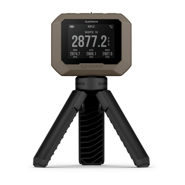
Xero® C1 Pro Chronograph
$899.00 Add to cartOverview
CAPTURE PRECISION. EXECUTE PERFECTION.
The most essential data for ballistics calculations is projectile speed. A chronograph is the best tool for the job. Whether you’re handloading for the range or building arrows for the hunt, the Xero C1 Pro Chronograph provides the speed data you need to hone your craft.
Measure projectile speeds from 100 fps to 5,000 fps.
The button-operated design is simple to use.
Pair with the ShotView™ smartphone app to track your shots, measure deviation and more.
The compact design fits in your back pocket and is easy to set up.
With battery life for up to 2,000 shots or up to 6 hours, you’ll have plenty of time at the range.
Hone your craft with precise data.
RELIABLE PERFORMANCE
The chronograph will reliably pick up your shots, thanks to the sensitive and accurate sensor.
VERSATILE PERFORMANCE
The device can measure projectile speeds from 100 fps to 5,000 fps for bullets, arrows, slugs, airsoft BBs, pellets and paintballs.
EASY TO OPERATE
Indoor and outdoor operation is simple, thanks to the backlit display and button-operated design.
PURPOSE-BUILT APP
Keep track of your shots, measure deviation and more when paired with the ShotView app on your compatible smartphone.
SIMPLE SETUP
Turn it on. Set it up. Point it in the direction of fire, and shoot.
Rechargeable battery
With battery life for up to 2,000 shots or up to 6 hours, there’s no rush. Take your time at the range while you experiment and fine-tune your setup.
SUPPRESSOR SUPPORT
Since the unit isn’t triggered by muzzle blast, it picks up shots from suppressed firearms and firearms with muzzle brakes or compensators.
BUILT TO ENDURE
Designed to last, thanks to an IPX7 water-resistant rating.
ACCURATE BY DESIGN
There’s no need to attach anything to your firearm, which means it won’t affect your zero or barrel harmonics.
Download the ShotView™ app on your compatible smartphone to track your shots, measure deviation and more.
From the range to the stand, Xero® series of auto-ranging bow sights will elevate your entire archery experience.
-
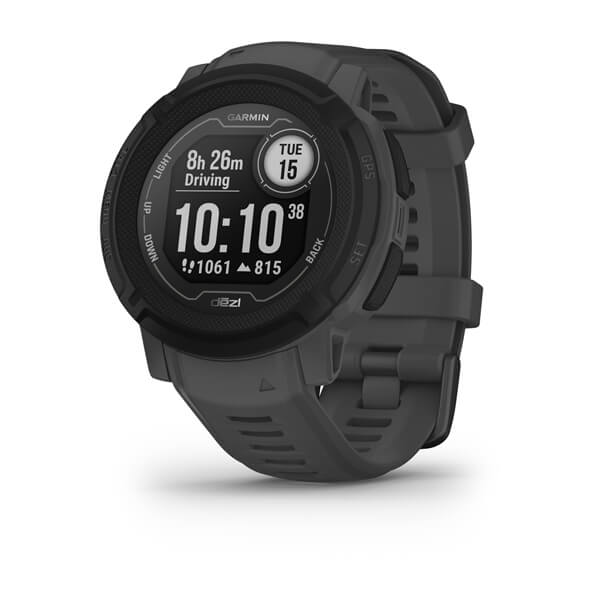
Instinct® 2 - dēzl Edition
$589.00 Add to cartOverview
WHATEVER YOU DO, OWN IT
This rugged, solar charging GPS smartwatch is tough enough to keep up with you and unique enough to fit your style. Now it comes in two sizes to fit every wrist.
This watch is tough, which means no holding back.
Train your way with built-in sports apps at the wrist.
Push boundaries, but stay on track with access to more satellites.
Understand your body better with 24/7 health monitoring.
ENGINEERED FOR ENDURANCE
DESIGNED TO DO YOU
Bold colours, high-contrast displays and size options let you show the world that you do things your own way.
GET MORE BATTERY OUT OF LIFE
SHOW US WHAT YOU’VE GOT. TAG @GARMIN ON INSTAGRAM.
Track every adventure.
MULTI-GNSS SUPPORT
Whether you’re hiking, mountain biking, trail running or skiing, you’ll have access to multiple global navigation satellite systems (GPS, GLONASS and Galileo) to track in more challenging environments than GPS alone.
ABC SENSORS
Navigate your next trail with ABC sensors, including an altimeter for elevation data, barometer to monitor weather and 3-axis electronic compass.
TRACBACK® ROUTING
Take the guesswork out of your return journey by using this feature to navigate the same route back to your starting point.
REFERENCE POINT
Keep track of a known place — such as your car or the trailhead — relative to your location, and easily find your way back to it.
Live connected.
SMART NOTIFICATIONS
CONNECT IQ™ STORE
GARMIN PAY™ CONTACTLESS PAYMENTS
SAFETY AND TRACKING FEATURES
CALENDAR VIEW
SYNC WITH THE GARMIN CONNECT™ APP
Train your way.
BUILT-IN SPORTS APPS
Do whatever you love with preloaded activity profiles for running, cycling, swimming, strength training, indoor climbing, virtual running, golf, yoga and more.
HIIT WORKOUTS
This activity profile tracks your HIIT workouts, including AMRAP, EMOM, Tabata and custom. Set the number of rounds, work/rest intervals and more.
VO2 MAX
DAILY WORKOUT SUGGESTIONS
RECOVERY TIME
After each workout, recovery time lets you know when you’ll be ready for another hard workout. It even accounts for training intensity and factors such as stress, daily activity and sleep.
BACKCOUNTRY SKIING AND SNOWBOARDING
These activity profiles now automatically distinguish between descending and climbing. So you can hit start on your first run and leave your smartwatch tracking all day long.
MTB DYNAMICS
Track the details of every ride with mountain biking metrics plus specialised Grit™ and Flow™ measurements that rate trail difficulty and how smoothly you descend, giving you a score to beat next time.
WRIST-BASED RUNNING POWER
See how much power you’re applying to the trail or the road so you can manage your effort and fine-tune your training. No accessory required.
Know your body.
WRIST-BASED HEART RATE
STRESS TRACKING
Heart rate variability is used to calculate your stress level score, so you can see if you’re having a calm, balanced or stressful day.
SLEEP SCORE AND ADVANCED SLEEP MONITORING
Get a full breakdown of your light, deep and REM sleep stages. View it all on a dedicated widget that includes your sleep score and insights.
BODY BATTERY™ ENERGY MONITORING
Optimise your body’s energy reserves, using heart rate variability, stress, sleep and other data to gauge when you’re ready to be active or when you may need to rest.
PULSE OX
FITNESS AGE
This feature uses chronological age, your weekly vigorous activity, resting heart rate and BMI to estimate if your body is younger or older than you are. Get tips to lower your fitness age.
INTENSITY MINUTES
Track how many minutes of vigorous activity you’re getting, when you earn them and during which activity. You can even view them as a data field during timed activities.
WOMEN’S HEALTH TRACKING
QuickFit® accessory bands let you match your style with no tools required.
Customise your Garmin device using the Connect IQ™ Store
See your stats, and track your goals in the Garmin Connect™ app.
-
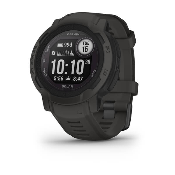
Instinct® 2 Solar
$679.00 Add to cartOverview
WHATEVER YOU DO, OWN IT
This rugged, solar charging GPS smartwatch is tough enough to keep up with you and unique enough to fit your style. Now it comes in two sizes to fit every wrist.
This watch is tough, which means no holding back.
Train your way with built-in sports apps at the wrist.
Push boundaries, but stay on track with access to more satellites.
Understand your body better with 24/7 health monitoring.
ENGINEERED FOR ENDURANCE
DESIGNED TO DO YOU
Bold colours, high-contrast displays and size options let you show the world that you do things your own way.
GET MORE BATTERY OUT OF LIFE
SHOW US WHAT YOU’VE GOT. TAG @GARMIN ON INSTAGRAM.
Track every adventure.
MULTI-GNSS SUPPORT
Whether you’re hiking, mountain biking, trail running or skiing, you’ll have access to multiple global navigation satellite systems (GPS, GLONASS and Galileo) to track in more challenging environments than GPS alone.
ABC SENSORS
Navigate your next trail with ABC sensors, including an altimeter for elevation data, barometer to monitor weather and 3-axis electronic compass.
TRACBACK® ROUTING
Take the guesswork out of your return journey by using this feature to navigate the same route back to your starting point.
REFERENCE POINT
Keep track of a known place — such as your car or the trailhead — relative to your location, and easily find your way back to it.
Live connected.
SMART NOTIFICATIONS
CONNECT IQ™ STORE
GARMIN PAY™ CONTACTLESS PAYMENTS
SAFETY AND TRACKING FEATURES
CALENDAR VIEW
SYNC WITH THE GARMIN CONNECT™ APP
Train your way.
BUILT-IN SPORTS APPS
Do whatever you love with preloaded activity profiles for running, cycling, swimming, strength training, indoor climbing, virtual running, golf, yoga and more.
HIIT WORKOUTS
This activity profile tracks your HIIT workouts, including AMRAP, EMOM, Tabata and custom. Set the number of rounds, work/rest intervals and more.
VO2 MAX
DAILY WORKOUT SUGGESTIONS
RECOVERY TIME
After each workout, recovery time lets you know when you’ll be ready for another hard workout. It even accounts for training intensity and factors such as stress, daily activity and sleep.
BACKCOUNTRY SKIING AND SNOWBOARDING
These activity profiles now automatically distinguish between descending and climbing. So you can hit start on your first run and leave your smartwatch tracking all day long.
MTB DYNAMICS
Track the details of every ride with mountain biking metrics plus specialised Grit™ and Flow™ measurements that rate trail difficulty and how smoothly you descend, giving you a score to beat next time.
WRIST-BASED RUNNING POWER
See how much power you’re applying to the trail or the road so you can manage your effort and fine-tune your training. No accessory required.
Know your body.
WRIST-BASED HEART RATE
STRESS TRACKING
Heart rate variability is used to calculate your stress level score, so you can see if you’re having a calm, balanced or stressful day.
SLEEP SCORE AND ADVANCED SLEEP MONITORING
Get a full breakdown of your light, deep and REM sleep stages. View it all on a dedicated widget that includes your sleep score and insights.
BODY BATTERY™ ENERGY MONITORING
Optimise your body’s energy reserves, using heart rate variability, stress, sleep and other data to gauge when you’re ready to be active or when you may need to rest.
PULSE OX
FITNESS AGE
This feature uses chronological age, your weekly vigorous activity, resting heart rate and BMI to estimate if your body is younger or older than you are. Get tips to lower your fitness age.
INTENSITY MINUTES
Track how many minutes of vigorous activity you’re getting, when you earn them and during which activity. You can even view them as a data field during timed activities.
WOMEN’S HEALTH TRACKING
QuickFit® accessory bands let you match your style with no tools required.
Customise your Garmin device using the Connect IQ™ Store
See your stats, and track your goals in the Garmin Connect™ app.
-
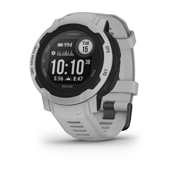
Instinct® 2 Solar
$679.00 Add to cartOverview
WHATEVER YOU DO, OWN IT
This rugged, solar charging GPS smartwatch is tough enough to keep up with you and unique enough to fit your style. Now it comes in two sizes to fit every wrist.
This watch is tough, which means no holding back.
Train your way with built-in sports apps at the wrist.
Push boundaries, but stay on track with access to more satellites.
Understand your body better with 24/7 health monitoring.
ENGINEERED FOR ENDURANCE
DESIGNED TO DO YOU
Bold colours, high-contrast displays and size options let you show the world that you do things your own way.
GET MORE BATTERY OUT OF LIFE
SHOW US WHAT YOU’VE GOT. TAG @GARMIN ON INSTAGRAM.
Track every adventure.
MULTI-GNSS SUPPORT
Whether you’re hiking, mountain biking, trail running or skiing, you’ll have access to multiple global navigation satellite systems (GPS, GLONASS and Galileo) to track in more challenging environments than GPS alone.
ABC SENSORS
Navigate your next trail with ABC sensors, including an altimeter for elevation data, barometer to monitor weather and 3-axis electronic compass.
TRACBACK® ROUTING
Take the guesswork out of your return journey by using this feature to navigate the same route back to your starting point.
REFERENCE POINT
Keep track of a known place — such as your car or the trailhead — relative to your location, and easily find your way back to it.
Live connected.
SMART NOTIFICATIONS
CONNECT IQ™ STORE
GARMIN PAY™ CONTACTLESS PAYMENTS
SAFETY AND TRACKING FEATURES
CALENDAR VIEW
SYNC WITH THE GARMIN CONNECT™ APP
Train your way.
BUILT-IN SPORTS APPS
Do whatever you love with preloaded activity profiles for running, cycling, swimming, strength training, indoor climbing, virtual running, golf, yoga and more.
HIIT WORKOUTS
This activity profile tracks your HIIT workouts, including AMRAP, EMOM, Tabata and custom. Set the number of rounds, work/rest intervals and more.
VO2 MAX
DAILY WORKOUT SUGGESTIONS
RECOVERY TIME
After each workout, recovery time lets you know when you’ll be ready for another hard workout. It even accounts for training intensity and factors such as stress, daily activity and sleep.
BACKCOUNTRY SKIING AND SNOWBOARDING
These activity profiles now automatically distinguish between descending and climbing. So you can hit start on your first run and leave your smartwatch tracking all day long.
MTB DYNAMICS
Track the details of every ride with mountain biking metrics plus specialised Grit™ and Flow™ measurements that rate trail difficulty and how smoothly you descend, giving you a score to beat next time.
WRIST-BASED RUNNING POWER
See how much power you’re applying to the trail or the road so you can manage your effort and fine-tune your training. No accessory required.
Know your body.
WRIST-BASED HEART RATE
STRESS TRACKING
Heart rate variability is used to calculate your stress level score, so you can see if you’re having a calm, balanced or stressful day.
SLEEP SCORE AND ADVANCED SLEEP MONITORING
Get a full breakdown of your light, deep and REM sleep stages. View it all on a dedicated widget that includes your sleep score and insights.
BODY BATTERY™ ENERGY MONITORING
Optimise your body’s energy reserves, using heart rate variability, stress, sleep and other data to gauge when you’re ready to be active or when you may need to rest.
PULSE OX
FITNESS AGE
This feature uses chronological age, your weekly vigorous activity, resting heart rate and BMI to estimate if your body is younger or older than you are. Get tips to lower your fitness age.
INTENSITY MINUTES
Track how many minutes of vigorous activity you’re getting, when you earn them and during which activity. You can even view them as a data field during timed activities.
WOMEN’S HEALTH TRACKING
QuickFit® accessory bands let you match your style with no tools required.
Customise your Garmin device using the Connect IQ™ Store
See your stats, and track your goals in the Garmin Connect™ app.
-
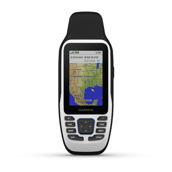
GPSMAP® 79s/sc
$549.00 Add to cartOverview
Cast off confidently
Stay on course, and track more adventures with these rugged, floating handhelds.
This thing can remember up to 10,000 waypoints and more, so you don’t have to.
It’s nice to have reliable positioning when you’re out on the water.
The built-in compass will point you in the right direction.
Get the best of Garmin and Navionics® data with optional BlueChart® g3 coastal charts.
Stay out longer with up to 19 hours of battery life in GPS mode.
Built for life on the boat.
RUGGED HANDHELD
DESIGNED TO FLOAT
If rough waters come and the handheld goes overboard, don’t worry. This device floats.
BATTERY LIFE
User-replaceable AA batteries (not included) provide up to 19 hours of battery life in GPS tracking mode.
Exactly what you need to navigate.
ACCURATE TRACKING
With support for multiple satellite constellations — such as GPS, GLONASS, Galileo, QZSS and SBAS — you’ll get accurate, reliable tracking and positioning around the world.
INCREASED MEMORY
More memory than previous models means you can save and track 10,000 waypoints, 250 routes and 300 fitness activity files.
BUILT-IN COMPASS
The 3-axis tilt-compensated electronic compass shows your heading — even while the boat is standing still.
BLUECHART COVERAGE
-
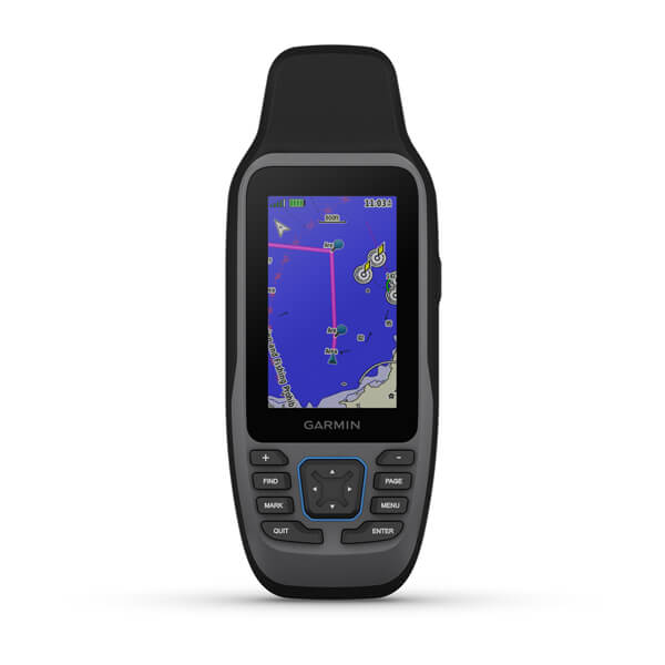
GPSMAP® 79s/sc
$619.00 Add to cartOverview
Cast off confidently
Stay on course, and track more adventures with these rugged, floating handhelds.
This thing can remember up to 10,000 waypoints and more, so you don’t have to.
It’s nice to have reliable positioning when you’re out on the water.
The built-in compass will point you in the right direction.
Get the best of Garmin and Navionics® data with optional BlueChart® g3 coastal charts.
Stay out longer with up to 19 hours of battery life in GPS mode.
Built for life on the boat.
RUGGED HANDHELD
DESIGNED TO FLOAT
If rough waters come and the handheld goes overboard, don’t worry. This device floats.
BATTERY LIFE
User-replaceable AA batteries (not included) provide up to 19 hours of battery life in GPS tracking mode.
Exactly what you need to navigate.
ACCURATE TRACKING
With support for multiple satellite constellations — such as GPS, GLONASS, Galileo, QZSS and SBAS — you’ll get accurate, reliable tracking and positioning around the world.
INCREASED MEMORY
More memory than previous models means you can save and track 10,000 waypoints, 250 routes and 300 fitness activity files.
BUILT-IN COMPASS
The 3-axis tilt-compensated electronic compass shows your heading — even while the boat is standing still.
BLUECHART COVERAGE
-
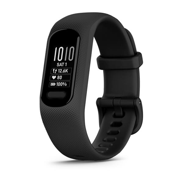
vívosmart® 5
$249.00 Add to cartOverview
TAKE CHARGE OF YOUR HEALTH — YOU GOT THIS
Bright display and up to 7 days of battery life? Yep — this tracker can keep up.
Walk, run, yoga, cycle — break a sweat your way with preloaded sports apps.
Catch some z’s, then wake to a score based on your sleep quality.
Stay connected. See texts, calls and notifications from your paired smartphone.
Connect to your smartphone’s GPS, and track outdoor walks, runs and rides with ease.
SIMPLE, EASY-TO-USE DESIGN
Looking for a hassle-free, easier-to-read tracker? You get just that with a bright and 66% bigger display than vívosmart 4 for larger text plus touchscreen and button interface.
DESIGNED FOR LIFE AND STYLE
Interchangeable bands provide user-friendly designs, making band replacements easy, convenient and perfect for your unique style.
KEEPS UP FOR DAYS
Get an uninterrupted picture of your health with up to 7 days of battery life in smartwatch mode.
Tune into your health and wellness.
WRIST-BASED HEART RATE
BODY BATTERY™ ENERGY MONITORING
PULSE OX SENSOR
SLEEP SCORE AND ADVANCED SLEEP MONITORING
STRESS TRACKING
MINDFUL BREATHING
When you want to relax or focus, you can start a breathwork activity, and this watch will track your stress and respiration to help you get a better understanding of how you’re breathing.
HYDRATION TRACKING
RESPIRATION TRACKING
WOMEN’S HEALTH TRACKING
FITNESS AGE
Kick-start a more active lifestyle.
FITNESS TRACKING
BUILT-IN SPORTS APPS
Switch up your workout routine with activity profiles for walking, running, yoga, Pilates, cardio, mindful breathing, strength training and more.
CONNECTED GPS
Connect to what matters most.
SMART NOTIFICATIONS
SAFETY AND TRACKING FEATURES
SYNC WITH GARMIN CONNECT
Made for daily wear. Made for you.
Water rating
Check out the place on Instagram® where mind and body connect.
See your stats, and track your goals in the Garmin Connect™ app.
-
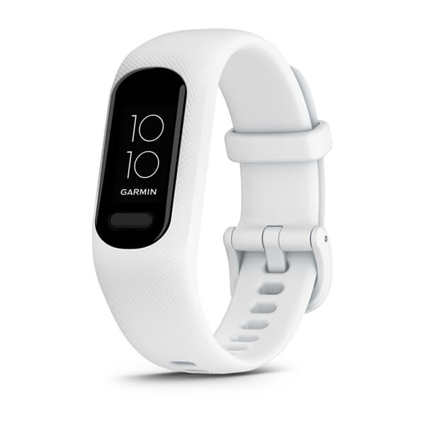
vívosmart® 5
$249.00 Add to cartOverview
TAKE CHARGE OF YOUR HEALTH — YOU GOT THIS
Bright display and up to 7 days of battery life? Yep — this tracker can keep up.
Walk, run, yoga, cycle — break a sweat your way with preloaded sports apps.
Catch some z’s, then wake to a score based on your sleep quality.
Stay connected. See texts, calls and notifications from your paired smartphone.
Connect to your smartphone’s GPS, and track outdoor walks, runs and rides with ease.
SIMPLE, EASY-TO-USE DESIGN
Looking for a hassle-free, easier-to-read tracker? You get just that with a bright and 66% bigger display than vívosmart 4 for larger text plus touchscreen and button interface.
DESIGNED FOR LIFE AND STYLE
Interchangeable bands provide user-friendly designs, making band replacements easy, convenient and perfect for your unique style.
KEEPS UP FOR DAYS
Get an uninterrupted picture of your health with up to 7 days of battery life in smartwatch mode.
Tune into your health and wellness.
WRIST-BASED HEART RATE
BODY BATTERY™ ENERGY MONITORING
PULSE OX SENSOR
SLEEP SCORE AND ADVANCED SLEEP MONITORING
STRESS TRACKING
MINDFUL BREATHING
When you want to relax or focus, you can start a breathwork activity, and this watch will track your stress and respiration to help you get a better understanding of how you’re breathing.
HYDRATION TRACKING
RESPIRATION TRACKING
WOMEN’S HEALTH TRACKING
FITNESS AGE
Kick-start a more active lifestyle.
FITNESS TRACKING
BUILT-IN SPORTS APPS
Switch up your workout routine with activity profiles for walking, running, yoga, Pilates, cardio, mindful breathing, strength training and more.
CONNECTED GPS
Connect to what matters most.
SMART NOTIFICATIONS
SAFETY AND TRACKING FEATURES
SYNC WITH GARMIN CONNECT
Made for daily wear. Made for you.
Water rating
Check out the place on Instagram® where mind and body connect.
See your stats, and track your goals in the Garmin Connect™ app.
-
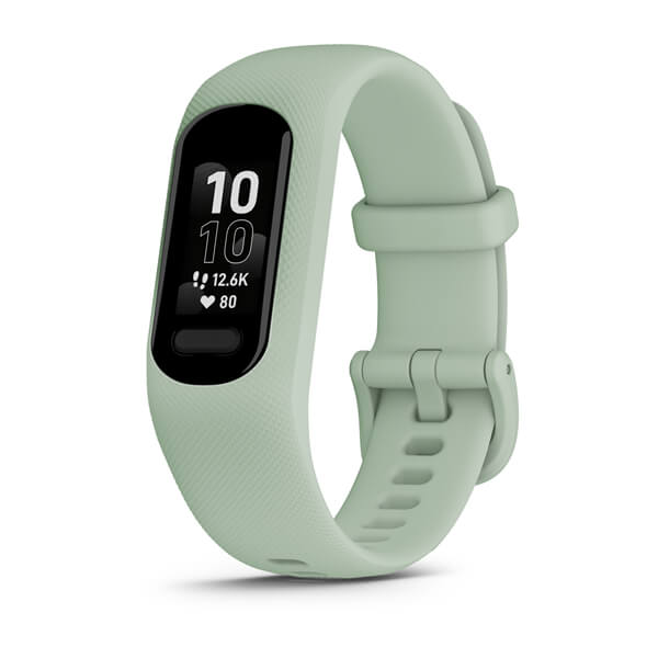
vívosmart® 5
$249.00 Add to cartOverview
TAKE CHARGE OF YOUR HEALTH — YOU GOT THIS
Bright display and up to 7 days of battery life? Yep — this tracker can keep up.
Walk, run, yoga, cycle — break a sweat your way with preloaded sports apps.
Catch some z’s, then wake to a score based on your sleep quality.
Stay connected. See texts, calls and notifications from your paired smartphone.
Connect to your smartphone’s GPS, and track outdoor walks, runs and rides with ease.
SIMPLE, EASY-TO-USE DESIGN
Looking for a hassle-free, easier-to-read tracker? You get just that with a bright and 66% bigger display than vívosmart 4 for larger text plus touchscreen and button interface.
DESIGNED FOR LIFE AND STYLE
Interchangeable bands provide user-friendly designs, making band replacements easy, convenient and perfect for your unique style.
KEEPS UP FOR DAYS
Get an uninterrupted picture of your health with up to 7 days of battery life in smartwatch mode.
Tune into your health and wellness.
WRIST-BASED HEART RATE
BODY BATTERY™ ENERGY MONITORING
PULSE OX SENSOR
SLEEP SCORE AND ADVANCED SLEEP MONITORING
STRESS TRACKING
MINDFUL BREATHING
When you want to relax or focus, you can start a breathwork activity, and this watch will track your stress and respiration to help you get a better understanding of how you’re breathing.
HYDRATION TRACKING
RESPIRATION TRACKING
WOMEN’S HEALTH TRACKING
FITNESS AGE
Kick-start a more active lifestyle.
FITNESS TRACKING
BUILT-IN SPORTS APPS
Switch up your workout routine with activity profiles for walking, running, yoga, Pilates, cardio, mindful breathing, strength training and more.
CONNECTED GPS
Connect to what matters most.
SMART NOTIFICATIONS
SAFETY AND TRACKING FEATURES
SYNC WITH GARMIN CONNECT
Made for daily wear. Made for you.
Water rating
Check out the place on Instagram® where mind and body connect.
See your stats, and track your goals in the Garmin Connect™ app.
-
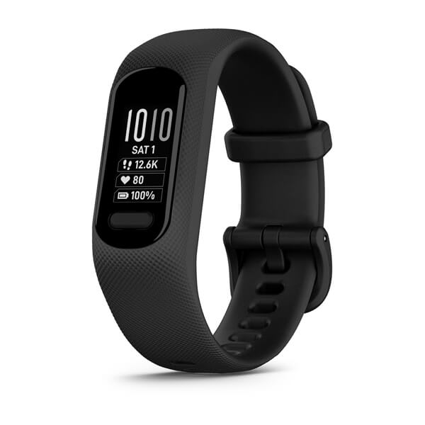
vívosmart® 5
$249.00 Add to cartOverview
TAKE CHARGE OF YOUR HEALTH — YOU GOT THIS
Bright display and up to 7 days of battery life? Yep — this tracker can keep up.
Walk, run, yoga, cycle — break a sweat your way with preloaded sports apps.
Catch some z’s, then wake to a score based on your sleep quality.
Stay connected. See texts, calls and notifications from your paired smartphone.
Connect to your smartphone’s GPS, and track outdoor walks, runs and rides with ease.
SIMPLE, EASY-TO-USE DESIGN
Looking for a hassle-free, easier-to-read tracker? You get just that with a bright and 66% bigger display than vívosmart 4 for larger text plus touchscreen and button interface.
DESIGNED FOR LIFE AND STYLE
Interchangeable bands provide user-friendly designs, making band replacements easy, convenient and perfect for your unique style.
KEEPS UP FOR DAYS
Get an uninterrupted picture of your health with up to 7 days of battery life in smartwatch mode.
Tune into your health and wellness.
WRIST-BASED HEART RATE
BODY BATTERY™ ENERGY MONITORING
PULSE OX SENSOR
SLEEP SCORE AND ADVANCED SLEEP MONITORING
STRESS TRACKING
MINDFUL BREATHING
When you want to relax or focus, you can start a breathwork activity, and this watch will track your stress and respiration to help you get a better understanding of how you’re breathing.
HYDRATION TRACKING
RESPIRATION TRACKING
WOMEN’S HEALTH TRACKING
FITNESS AGE
Kick-start a more active lifestyle.
FITNESS TRACKING
BUILT-IN SPORTS APPS
Switch up your workout routine with activity profiles for walking, running, yoga, Pilates, cardio, mindful breathing, strength training and more.
CONNECTED GPS
Connect to what matters most.
SMART NOTIFICATIONS
SAFETY AND TRACKING FEATURES
SYNC WITH GARMIN CONNECT
Made for daily wear. Made for you.
Water rating
Check out the place on Instagram® where mind and body connect.
See your stats, and track your goals in the Garmin Connect™ app.
-
vívomove® Trend
$449.00 Add to cartOverview
Get a perfect look around the clock
Experience perfectly timeless analog style.
Get up to 5 days of battery life. Now that’s a good look.
Tap or swipe to reveal the hidden touchscreen display. It’s your little secret.
Get texts, calls and calendar reminders when paired with your smartphone.
Tap your wrist at the register to pay with participating providers. It’s easy and touch-free.
BATTERY LIFE
A SLEEK LOOK FOR YOUR WRIST
TRADITIONAL WATCH DESIGN
The hidden full-dial display appears only when you need it. Interact with the touchscreen, and the hands dynamically move away.
You’re connected with essential smart features.
Smart notifications
GARMIN PAY CONTACTLESS PAYMENTS
SAFETY AND TRACKING FEATURES
CHRONOGRAPH TIMER AND STOPWATCH
Watch the seconds tick as the hands synchronize together as a stopwatch and timer.
Garmin Connect™ app
Live well with helpful insight.
BODY BATTERY™ ENERGY MONITORING
WRIST-BASED HEART RATE
SLEEP MONITORING AND SLEEP SCORE
PULSE OX SENSOR
STRESS TRACKING
MINDFUL BREATHING
WOMEN’S HEALTH TRACKING
HYDRATION TRACKING
Log your daily fluid intake as a reminder to stay hydrated. You can even have an auto goal for hydration that adjusts based on how much you sweat during activities.
RESPIRATION TRACKING
Fitness features that fit your lifestyle.
CONNECTED GPS
FITNESS AGE
Intensity minutes
PRELOADED SPORTS APPS
Switch up your workout routine with activity profiles for yoga, strength, cardio, pool swimming and more.
FITNESS TRACKING
Designed to be your everyday accessory.
Water rating
SMALL, ELEGANT DESIGN
With a watch case that measures just 40 mm, you’ll only notice it on your wrist because it looks so good.
Switch up your style with a variety of accessory bands.
Check out the place on Instagram® where mind and body connect.
-
vívomove® Trend
$499.00 Add to cartOverview
Get a perfect look around the clock
Experience perfectly timeless analog style.
Get up to 5 days of battery life. Now that’s a good look.
Tap or swipe to reveal the hidden touchscreen display. It’s your little secret.
Get texts, calls and calendar reminders when paired with your smartphone.
Tap your wrist at the register to pay with participating providers. It’s easy and touch-free.
BATTERY LIFE
A SLEEK LOOK FOR YOUR WRIST
TRADITIONAL WATCH DESIGN
The hidden full-dial display appears only when you need it. Interact with the touchscreen, and the hands dynamically move away.
You’re connected with essential smart features.
Smart notifications
GARMIN PAY CONTACTLESS PAYMENTS
SAFETY AND TRACKING FEATURES
CHRONOGRAPH TIMER AND STOPWATCH
Watch the seconds tick as the hands synchronize together as a stopwatch and timer.
Garmin Connect™ app
Live well with helpful insight.
BODY BATTERY™ ENERGY MONITORING
WRIST-BASED HEART RATE
SLEEP MONITORING AND SLEEP SCORE
PULSE OX SENSOR
STRESS TRACKING
MINDFUL BREATHING
WOMEN’S HEALTH TRACKING
HYDRATION TRACKING
Log your daily fluid intake as a reminder to stay hydrated. You can even have an auto goal for hydration that adjusts based on how much you sweat during activities.
RESPIRATION TRACKING
Fitness features that fit your lifestyle.
CONNECTED GPS
FITNESS AGE
Intensity minutes
PRELOADED SPORTS APPS
Switch up your workout routine with activity profiles for yoga, strength, cardio, pool swimming and more.
FITNESS TRACKING
Designed to be your everyday accessory.
Water rating
SMALL, ELEGANT DESIGN
With a watch case that measures just 40 mm, you’ll only notice it on your wrist because it looks so good.
Switch up your style with a variety of accessory bands.
Check out the place on Instagram® where mind and body connect.
-
vívomove® Trend
$499.00 Add to cartOverview
Get a perfect look around the clock
Experience perfectly timeless analog style.
Get up to 5 days of battery life. Now that’s a good look.
Tap or swipe to reveal the hidden touchscreen display. It’s your little secret.
Get texts, calls and calendar reminders when paired with your smartphone.
Tap your wrist at the register to pay with participating providers. It’s easy and touch-free.
BATTERY LIFE
A SLEEK LOOK FOR YOUR WRIST
TRADITIONAL WATCH DESIGN
The hidden full-dial display appears only when you need it. Interact with the touchscreen, and the hands dynamically move away.
You’re connected with essential smart features.
Smart notifications
GARMIN PAY CONTACTLESS PAYMENTS
SAFETY AND TRACKING FEATURES
CHRONOGRAPH TIMER AND STOPWATCH
Watch the seconds tick as the hands synchronize together as a stopwatch and timer.
Garmin Connect™ app
Live well with helpful insight.
BODY BATTERY™ ENERGY MONITORING
WRIST-BASED HEART RATE
SLEEP MONITORING AND SLEEP SCORE
PULSE OX SENSOR
STRESS TRACKING
MINDFUL BREATHING
WOMEN’S HEALTH TRACKING
HYDRATION TRACKING
Log your daily fluid intake as a reminder to stay hydrated. You can even have an auto goal for hydration that adjusts based on how much you sweat during activities.
RESPIRATION TRACKING
Fitness features that fit your lifestyle.
CONNECTED GPS
FITNESS AGE
Intensity minutes
PRELOADED SPORTS APPS
Switch up your workout routine with activity profiles for yoga, strength, cardio, pool swimming and more.
FITNESS TRACKING
Designed to be your everyday accessory.
Water rating
SMALL, ELEGANT DESIGN
With a watch case that measures just 40 mm, you’ll only notice it on your wrist because it looks so good.
Switch up your style with a variety of accessory bands.
Check out the place on Instagram® where mind and body connect.
-
vívomove® Trend
$449.00 Add to cartOverview
Get a perfect look around the clock
Experience perfectly timeless analog style.
Get up to 5 days of battery life. Now that’s a good look.
Tap or swipe to reveal the hidden touchscreen display. It’s your little secret.
Get texts, calls and calendar reminders when paired with your smartphone.
Tap your wrist at the register to pay with participating providers. It’s easy and touch-free.
BATTERY LIFE
A SLEEK LOOK FOR YOUR WRIST
TRADITIONAL WATCH DESIGN
The hidden full-dial display appears only when you need it. Interact with the touchscreen, and the hands dynamically move away.
You’re connected with essential smart features.
Smart notifications
GARMIN PAY CONTACTLESS PAYMENTS
SAFETY AND TRACKING FEATURES
CHRONOGRAPH TIMER AND STOPWATCH
Watch the seconds tick as the hands synchronize together as a stopwatch and timer.
Garmin Connect™ app
Live well with helpful insight.
BODY BATTERY™ ENERGY MONITORING
WRIST-BASED HEART RATE
SLEEP MONITORING AND SLEEP SCORE
PULSE OX SENSOR
STRESS TRACKING
MINDFUL BREATHING
WOMEN’S HEALTH TRACKING
HYDRATION TRACKING
Log your daily fluid intake as a reminder to stay hydrated. You can even have an auto goal for hydration that adjusts based on how much you sweat during activities.
RESPIRATION TRACKING
Fitness features that fit your lifestyle.
CONNECTED GPS
FITNESS AGE
Intensity minutes
PRELOADED SPORTS APPS
Switch up your workout routine with activity profiles for yoga, strength, cardio, pool swimming and more.
FITNESS TRACKING
Designed to be your everyday accessory.
Water rating
SMALL, ELEGANT DESIGN
With a watch case that measures just 40 mm, you’ll only notice it on your wrist because it looks so good.
Switch up your style with a variety of accessory bands.
Check out the place on Instagram® where mind and body connect.
-
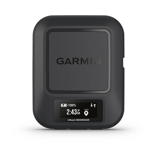
inReach® Messenger
$499.00 Add to cart<p> <a href="https://www.garmin.com/en-AU/p/837461">Learn more about inReach satellite subscription plans</a> </p>
Overview
SAY IT. SHOW IT. SHARE IT.
EXCHANGE TEXTS, PHOTOS AND VOICE MESSAGES WITHOUT MOBILE PHONE SERVICE
PAIR WITH THE GARMIN MESSENGER™ SMARTPHONE APP FOR GROUP MESSAGING AND MORE
TRIGGER AN INTERACTIVE SOS MESSAGE TO GARMIN RESPONSE℠, OUR 24/7-STAFFED INTERNATIONAL COORDINATION CENTRE
USE THE GARMIN EXPLORE™ SMARTPHONE APP TO PLAN YOUR TRIP, TRACK YOUR ACTIVITY AND MORE
USE THE GARMIN EXPLORE™ APP TO SHARE YOUR GPS LOCATION WITH LIVE TRACK
EXCHANGE PHOTOS
EXCHANGE VOICE MESSAGES
Tell them you miss them with a 30-second voice message, no cell coverage needed. This requires pairing with the Garmin Messenger app on your compatible smartphone.
two-way text messaging
Exchange text messages with up to 1,600 characters directly on the device. Connect your compatible smartphone to the Garmin Messenger app, and exchange text messages, send emojis, or start a group chat.
INTERACTIVE SOS
Explore with peace of mind knowing you can send an interactive SOS message with your GPS coordinates to Garmin Response, a 24/7-staffed international coordination centre for help in an emergency. And, instead of relying on tower-based mobile phone coverage, your messages are sent via the 100% global iridium satellite network.
SHOW THEM YOUR ROUTE
Share your GPS location and your route anytime with live tracking. You can also embed your GPS coordinates with your text, photo or voice messages.
GARMIN EXPLORE APP
COMMUNICATE
CHECK-IN MESSAGES
SYNC YOUR CONTACTS
Easily find your contacts with the Garmin Messenger app and your compatible smartphone.
SEAMLESS CONNECTION
GROUP MESSAGING
Use your smartphone and the Garmin Messenger app to send group messages.
CONTROL REMOTELY
ON-DEVICE DISPLAY
Use the screen to confirm that messages have been sent, send messages and read responses, even when your phone battery dies.
GPS ACCURACY
The built-in antenna automatically acquires satellites to update your latitude and longitude positions; no need to point your device directly towards the sky to find satellites.
BUILT FOR THE BACK COUNTRY
RUGGED DESIGN
INREACH WEATHER
TRACBACK ROUTING
Use this feature to navigate back to where you started the same way you came.
SAFETY CHARGING
Dead phone battery? Connect your phone to the device and use the device’s battery to charge it.
BATTERY THAT LASTS
The internal, rechargeable lithium battery gives you up to 25 days of battery life in 10-minute tracking mode.
Activate an inReach® subscription plan.
-
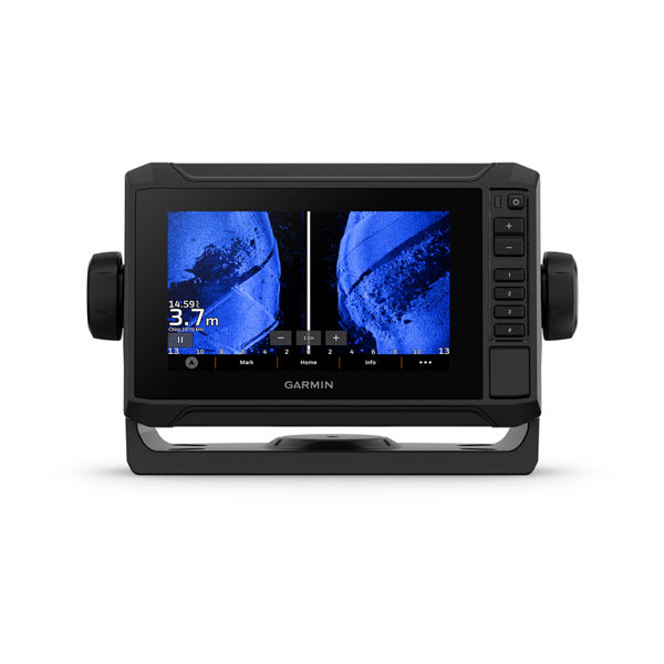
ECHOMAP™ UHD2 6" sv Chartplotters
$1599.00 Add to cart<p><a href="https://support.garmin.com/en-US/?faq=C44jTuNilt5QAldhVdWTQ7">Garmin Navionics+ Built-In Coverage </a></p>
Overview
KNOW THE WATER BETTER THAN A LOCAL
When it comes to catching more fish, they say, “Talk to a local.” With the ECHOMAP UHD2 chartplotter, which offers our best-in-class sonar and mapping and premium touchscreen display with keyed-assist, you’ll know the water even better than they do.
The bright 6″, 7″ or 9″ touchscreen display with keyed-assist is user-friendly and easy to read.
Good things come in threes. Three sonar types, that is: Garmin traditional, ClearVü™ and SideVü™ sonars.
Improved detail? Check. Distinguished targets? Yep. That’s the beauty of high-contrast vivid colour palettes.
If you’re running another ECHOMAP UHD2 chartplotter, you can wirelessly share sonar, waypoints and routes.
Want our best in mapping? Who doesn’t? Select chartplotters come with Garmin Navionics+™ mapping.
It doesn't get any better than this.
SONAR SUPPORT
With crisp, clear traditional sonar and brilliant ClearVü and SideVü scanning sonars, the fish will have nowhere to hide. Your ECHOMAP UHD2 also supports LiveScope™ live-scanning sonar.
VIVID COLOUR PALETTES
High-contrast vivid scanning sonar colour palettes make it easier than ever to distinguish targets and structure.
BUNDLE YOUR TRANSDUCER
PRELOADED CHARTS
WIRELESS NETWORKING
Auto Guidance+™ technology
CHARGE INTEGRATION FROM POWER-POLE
Your CHARGE Marine Power Manager from Power-Pole integrates with compatible Garmin chartplotters to help keep your battery power going longer and stronger on the water. You’re able to charge batteries on the run, monitor power use, select where power is allocated, control emergency starts and even transfer power between battery banks — all from your chartplotter display.
Multi-band gps
Get improved position accuracy, particularly in areas where signals are reflected or weak, with multi-band GPS.
Manage your marine experience using the free ActiveCaptain® app.
Powerful. Efficient. Quiet. Force™ trolling motor.
-
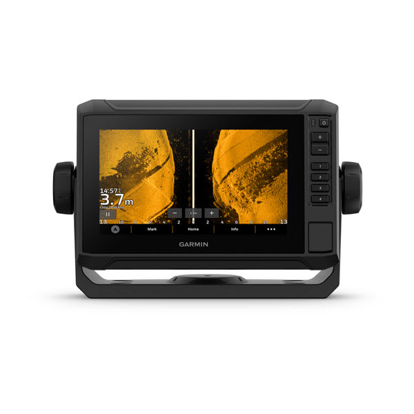
ECHOMAP™ UHD2 7" sv Chartplotters
$1799.00 Add to cart<p><a href="https://support.garmin.com/en-US/?faq=C44jTuNilt5QAldhVdWTQ7">Garmin Navionics+ Built-In Coverage </a></p>
Overview
KNOW THE WATER BETTER THAN A LOCAL
When it comes to catching more fish, they say, “Talk to a local.” With the ECHOMAP UHD2 chartplotter, which offers our best-in-class sonar and mapping and premium touchscreen display with keyed-assist, you’ll know the water even better than they do.
The bright 6″, 7″ or 9″ touchscreen display with keyed-assist is user-friendly and easy to read.
Good things come in threes. Three sonar types, that is: Garmin traditional, ClearVü™ and SideVü™ sonars.
Improved detail? Check. Distinguished targets? Yep. That’s the beauty of high-contrast vivid colour palettes.
If you’re running another ECHOMAP UHD2 chartplotter, you can wirelessly share sonar, waypoints and routes.
Want our best in mapping? Who doesn’t? Select chartplotters come with Garmin Navionics+™ mapping.
It doesn't get any better than this.
SONAR SUPPORT
With crisp, clear traditional sonar and brilliant ClearVü and SideVü scanning sonars, the fish will have nowhere to hide. Your ECHOMAP UHD2 also supports LiveScope™ live-scanning sonar.
VIVID COLOUR PALETTES
High-contrast vivid scanning sonar colour palettes make it easier than ever to distinguish targets and structure.
BUNDLE YOUR TRANSDUCER
PRELOADED CHARTS
WIRELESS NETWORKING
Auto Guidance+™ technology
CHARGE INTEGRATION FROM POWER-POLE
Your CHARGE Marine Power Manager from Power-Pole integrates with compatible Garmin chartplotters to help keep your battery power going longer and stronger on the water. You’re able to charge batteries on the run, monitor power use, select where power is allocated, control emergency starts and even transfer power between battery banks — all from your chartplotter display.
Multi-band gps
Get improved position accuracy, particularly in areas where signals are reflected or weak, with multi-band GPS.
Manage your marine experience using the free ActiveCaptain® app.
Powerful. Efficient. Quiet. Force™ trolling motor.
-
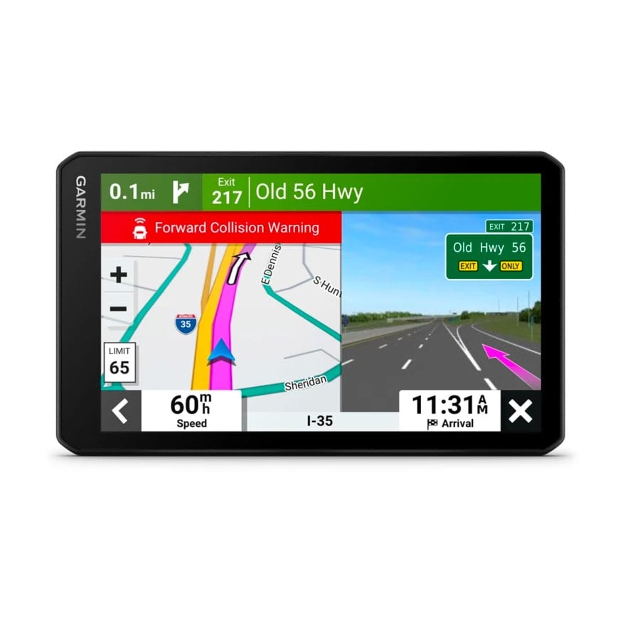
RVcam 795
$949.00 Add to cartOverview
Plan to make memories
Enjoy the view. The 7″ touchscreen shows your route and includes detailed map updates of Australia and New Zealand.
Know what's ahead with road warnings for steep grades, sharp curves and more.
Discover the best spots along your route and learn of recommended activities near your destination.
Plan your stops with a preloaded directory of campgrounds, RV parks and services plus Tripadvisor® traveler ratings.
Get the adventure rolling.
LARGE RV SCREEN
This easy-to-use 7″ GPS sat nav features a bright high-resolution edge-to-edge touchscreen display so you can easily see important route information.
CUSTOM RV ROUTING
ROAD WARNINGS
Know of upcoming steep grades, sharp curves, weight limits and more before you get to them. Detailed elevation information helps you prepare for possible steep grades along the route.
BirdsEye Direct Satellite Imagery
See vivid aerial views to help you with a smooth arrival at your RV park or campground.
ROADTRIP ROUTES FEATURE
View suggestions for more adventurous trips or scenic roads.
RV PARKS AND SERVICES
Simplify your trip with a preloaded directory of RV parks and services from ACSI™, Campercontact™ and Trailer’s PARK™, which can be filtered by amenity such as showers, electricity and more.
EASY TRIP PLANNING
Go. In the know.
GARMIN VOICE ASSIST
Need directions? Just say the word. The RV 795 sat nav responds to your spoken requests and then navigates to wherever you need to go. (Voice Assist is available in English, French, German, Italian, Spanish, Danish, Swedish, Dutch).
WIRELESS UPDATES
Built-in Wi-Fi® connectivity makes it easy to keep your maps and software up to date without using a computer. On-screen cues show when new updates are available.
LIVE TRAFFIC AND WEATHER
LIVE FUEL PRICES
Connect with the Garmin Drive™ app to get updates of real-time fuel prices along your route.
HANDS-FREE CALLING
Smart notifications
When paired with the Garmin Drive app, you’ll be able to see text messages and other notifications from your phone displayed on the sat nav’s screen.
Load up the fun.
TRAVEL INFORMED
View Tripadvisor traveler ratings for hotels, restaurants and attractions along your route or near your destination. Easily find new shops, restaurants and millions of other popular places with preloaded Foursquare® points of interest.
TRENDY PLACES FEATURE
Discover the best spots along your route with suggestions for trendy places.
LOCAL SPOTS FEATURE
Find local places to visit and exciting activities to try near your current location with local spot recommendations.
MAP COVERAGE
Your sat-nav includes map updates and comes preloaded with full Australia and New Zealand.
WORKS WITH BACKUP CAMERAS
CONTROL 12-VOLT ELECTRONICS
EYEWITNESS ON THE ROAD
See what's behind your vehicle with a Garmin backup camera.
Simplify your drive using the Garmin Drive™ app.
Control your vehicle's accessories with Garmin PowerSwitch™.
Get a Garmin Dash Cam™ to record the eyewitness proof.
-
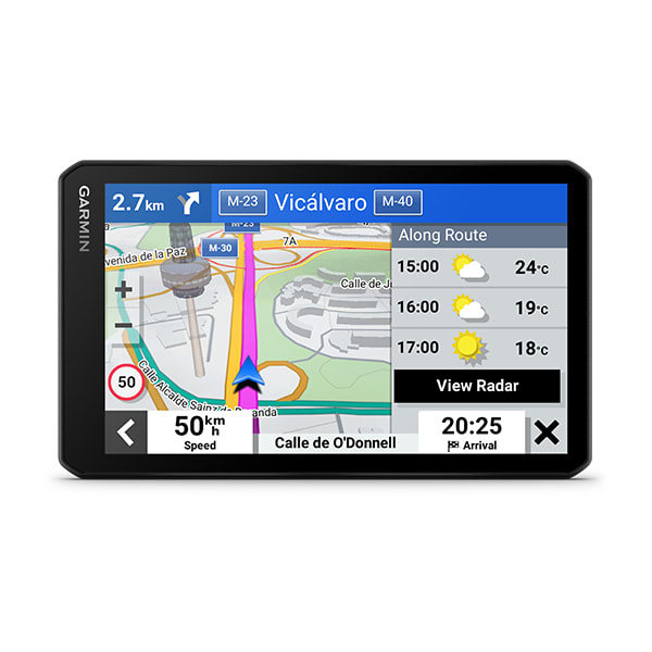
Garmin DriveCam™ 76
$749.00 Add to cart<p> <a href="https://www.garmin.com/en-AU/c/automotive/car-gps-navigation/">Click here to check out our newest products</a> </p>
Overview
SIMPLIFY YOUR DRIVE
Enjoy peace of mind with the 5.5-inch Garmin DriveSmart 55 MT-S GPS sat nav. Live Traffic and map updates are included along with driver alerts to encourage safer driving.
Be road-trip ready with a big, bright 5.5″ display and easy-to-see maps.
Talk to me. Enjoy convenient Garmin voice assist for directions and hands-free calling.
Make all the right moves with clear, detailed map updates of Europe.
Welcome to smarter driving.
VOICE ASSIST
Need directions? Just say the word. DriveSmart 55 MT-S responds to your spoken requests and then navigates to wherever you need to go.
WIRELESS UPDATES
LIVE TRAFFIC AND WEATHER
HANDS-FREE CALLING
Smart notifications
Just look ahead and drive.
TRIPADVISOR
View Tripadvisor traveller ratings for hotels, restaurants and attractions along your route or near your destination.
GARMIN REAL DIRECTIONS™
Easy-to-understand, spoken turn-by-turn directions guide like a friend, using street names, store names and recognisable landmarks.
DRIVER ALERTS
To encourage safer driving and increase situational awareness, driver alerts warn you of upcoming sharp curves, speed changes, railway crossings and more.
FIND PLACES BY NAME
CHECK UP AHEAD
A useful Up Ahead feature shows upcoming stops for food, fuel and other milestones — such as upcoming cities — along your route.
MAP COVERAGE
Drive confidently with the latest map updates and preloaded street maps for Europe.
WANT MORE?
-
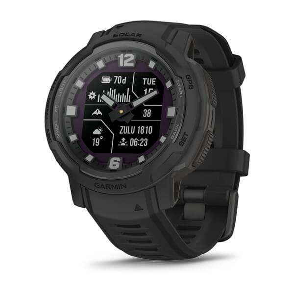
Instinct® Crossover Solar - Tactical Edition
$849.00 Add to cartOverview
MADE TO MOVE
ANALOG WATCH. AMOLED DISPLAY.
Featuring a colourful 1.2″ display, analog watch hands, a built-in flashlight and more — Instinct Crossover AMOLED is the rugged GPS smartwatch that’s ready for anything.
BRIGHT 1.2″ AMOLED DISPLAY
UP TO 14 DAYS OF BATTERY LIFE IN SMARTWATCH MODE AND UP TO 18 DAYS OF BATTERY LIFE IN BATTERY SAVER MODE
RUGGED SAPPHIRE LENS AND DUAL-LAYERED METAL BEZEL
BUILT-IN DIMMABLE LED FLASHLIGHT
DETAILED HEALTH AND WELLNESS FEATURES
REVODRIVE™ TECHNOLOGY GUARANTEES PRECISE TIMEKEEPING
SHOW US WHAT YOU’VE GOT. TAG @GARMIN ON INSTAGRAM.
DETAIL-RICH DYNAMIC DISPLAY
RUGGED DESIGN
REVODRIVE TECHNOLOGY
Analog hands with RevoDrive technology automatically detect and recalibrate misaligned hands to deliver accurate analog timekeeping even if a significant impact occurs.
PURPOSE-BUILT
Take on any adventure with a dimmable LED flashlight and compass as well as multi-band GPS for improved positional accuracy.
24/7 health and wellness monitoring
BATTERY LIFE
Get up to 14 days of battery life in smartwatch mode and up to 18 days of battery life in battery saver mode.
HEALTH AND WELLNESS
DAILY MOVEMENT
HRV STATUS
WRIST-BASED HEART RATE
STRESS TRACKING
MORNING REPORT
Receive an overview of your sleep, recovery, daily calendar, HRV status and more as soon as you wake up. You can even customise your reports theme, data shown and more.
HEALTH SNAPSHOT
PULSE OX SENSOR
MINDFUL BREATHING
RESPIRATION
HYDRATION
FITNESS AGE
NAP DETECTION
Automatically track or log your naps to see how they benefit your body.
SMART WAKE ALARM
Wake up more refreshed. The smart wake alarm gently wakes you at the optimal time.
SLEEP COACH
BREATHING VARIATIONS
LIFESTYLE LOGGING
ACTIVITY TRACKING
BUILT-IN SPORTS APPS
Track activities, including cycling, rucking, open-water swimming, strength training and more.
GARMIN COACH
WORKOUT CREATION
INTENSITY MINUTES
VO2 MAX
ALTITUDE AND HEAT ACCLIMATION
HIIT WORKOUTS
Track your HIIT workouts, including AMRAP, EMOM, Tabata or custom workouts.
DAILY SUGGESTED WORKOUTS
View your entire week of daily suggested workouts, which adapt after every run or ride.
RECOVERY TIME
Know how long you should recover before your next high-effort workout based on your latest training.
ANIMATED WORKOUTS
Easy-to-follow, animated workouts come preloaded on the watch, and you can download even more from the Garmin Connect app.
MUSCLE MAPS
Know which activities train certain muscles for targeted workouts.
STAY CONNECTED
Garmin Connect
See your health and fitness information, connect with friends and more.
GARMIN MESSENGER™ APP
SMART NOTIFICATIONS
GARMIN PAY™ CONTACTLESS PAYMENTS
SAFETY AND TRACKING FEATURES
CONNECT IQ™ STORE
LiveTrack™ Feature
ABC SENSORS
SATIQ™ TECHNOLOGY
Get superior positioning accuracy with multi-band GPS while optimising battery life.
GARMIN SHARE
Share saved locations, courses and workouts with other nearby Garmin Share compatible devices.
-
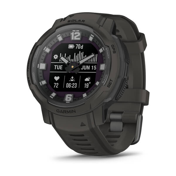
Instinct® Crossover Solar
$769.00 Add to cartOverview
MADE TO MOVE
ANALOG WATCH. AMOLED DISPLAY.
Featuring a colourful 1.2″ display, analog watch hands, a built-in flashlight and more — Instinct Crossover AMOLED is the rugged GPS smartwatch that’s ready for anything.
BRIGHT 1.2″ AMOLED DISPLAY
UP TO 14 DAYS OF BATTERY LIFE IN SMARTWATCH MODE AND UP TO 18 DAYS OF BATTERY LIFE IN BATTERY SAVER MODE
RUGGED SAPPHIRE LENS AND DUAL-LAYERED METAL BEZEL
BUILT-IN DIMMABLE LED FLASHLIGHT
DETAILED HEALTH AND WELLNESS FEATURES
REVODRIVE™ TECHNOLOGY GUARANTEES PRECISE TIMEKEEPING
SHOW US WHAT YOU’VE GOT. TAG @GARMIN ON INSTAGRAM.
DETAIL-RICH DYNAMIC DISPLAY
RUGGED DESIGN
REVODRIVE TECHNOLOGY
Analog hands with RevoDrive technology automatically detect and recalibrate misaligned hands to deliver accurate analog timekeeping even if a significant impact occurs.
PURPOSE-BUILT
Take on any adventure with a dimmable LED flashlight and compass as well as multi-band GPS for improved positional accuracy.
24/7 health and wellness monitoring
BATTERY LIFE
Get up to 14 days of battery life in smartwatch mode and up to 18 days of battery life in battery saver mode.
HEALTH AND WELLNESS
DAILY MOVEMENT
HRV STATUS
WRIST-BASED HEART RATE
STRESS TRACKING
MORNING REPORT
Receive an overview of your sleep, recovery, daily calendar, HRV status and more as soon as you wake up. You can even customise your reports theme, data shown and more.
HEALTH SNAPSHOT
PULSE OX SENSOR
MINDFUL BREATHING
RESPIRATION
HYDRATION
FITNESS AGE
NAP DETECTION
Automatically track or log your naps to see how they benefit your body.
SMART WAKE ALARM
Wake up more refreshed. The smart wake alarm gently wakes you at the optimal time.
SLEEP COACH
BREATHING VARIATIONS
LIFESTYLE LOGGING
ACTIVITY TRACKING
BUILT-IN SPORTS APPS
Track activities, including cycling, rucking, open-water swimming, strength training and more.
GARMIN COACH
WORKOUT CREATION
INTENSITY MINUTES
VO2 MAX
ALTITUDE AND HEAT ACCLIMATION
HIIT WORKOUTS
Track your HIIT workouts, including AMRAP, EMOM, Tabata or custom workouts.
DAILY SUGGESTED WORKOUTS
View your entire week of daily suggested workouts, which adapt after every run or ride.
RECOVERY TIME
Know how long you should recover before your next high-effort workout based on your latest training.
ANIMATED WORKOUTS
Easy-to-follow, animated workouts come preloaded on the watch, and you can download even more from the Garmin Connect app.
MUSCLE MAPS
Know which activities train certain muscles for targeted workouts.
STAY CONNECTED
Garmin Connect
See your health and fitness information, connect with friends and more.
GARMIN MESSENGER™ APP
SMART NOTIFICATIONS
GARMIN PAY™ CONTACTLESS PAYMENTS
SAFETY AND TRACKING FEATURES
CONNECT IQ™ STORE
LiveTrack™ Feature
ABC SENSORS
SATIQ™ TECHNOLOGY
Get superior positioning accuracy with multi-band GPS while optimising battery life.
GARMIN SHARE
Share saved locations, courses and workouts with other nearby Garmin Share compatible devices.
-
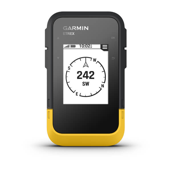
eTrex® SE
$249.00 Add to cartOverview
TAP INTO ADVENTURE
This essential, simple-to-use touchscreen GPS handheld offers preloaded TopoActive maps with routable trails and roads for your outdoor adventure. Plus, the durable design and long battery life help you enjoy all your activities even more.
SWIPE AND ZOOM ON A BRIGHT 3″ TOUCHSCREEN
PRELOADED MAPS FOR ROADS AND TRAILS
LONG BATTERY LIFE OF UP TO 130 HOURS IN GPS MODE
PLAN AND REVIEW TRIPS WITH THE GARMIN EXPLORE™ SMARTPHONE APP
BUILT TOUGH (MIL-STD 810) AND WEATHER-RESISTANT (IP67)
OPTION TO PURCHASE AN OUTDOOR MAPS+ PLAN FOR PREMIUM MAPPING
SHOW US WHAT YOU’VE GOT. TAG @GARMIN ON INSTAGRAM.
TOUCHSCREEN
The slim, pocket-size handheld features a bright 3″ high-resolution colour touchscreen so you can easily swipe and zoom to follow your route.
RUGGED DESIGN
PRELOADED MAPS
View detailed TopoActive maps for roads and trails, and see terrain contours, topographic elevations, summits, parks, rivers, lakes and geographical points plus thousands of points of interest. Plus, get easy access to additional TopoActive mapping around the globe.
OUTDOOR MAPS+
PLAN AND REVIEW YOUR TRIP
WEATHER
Get real-time forecast information so you are aware of the changing conditions. This feature requires an active internet or Wi-Fi connection, or use of the Garmin Explore app on your paired smartphone.
ADVENTURE FEATURES
BATTERY LIFE
Get long battery life up to 130 hours in all satellite systems plus multi-band mode, assuming typical use with SatIQ™ technology; and up to 650 hours in expedition mode.
GPS ACCURACY
Know where you are with multi-band GPS and multi-GNSS support, which gives you access to multiple frequencies sent by navigation satellites for superior position accuracy.
FIND NEW DESTINATIONS
Popularity routing helps you navigate the best routes and rides. Round-trip routing allows you to enter a distance you want to travel for route suggestions that will bring you back to where you started.
ASCENT PLANNING
See upcoming climbs on your route, when they will occur and how steep they will be.
DIGITAL COMPASS
Follow your bearing on the digital compass, which provides an accurate heading even when stationary.
GEOCACHING
GARMIN SHARE
Easily share saved locations and courses with friends’ compatible Garmin devices.
ON THE GO
This device has an integrated Spine Mount 2 and is compatible with additional accessories, sold separately.
-
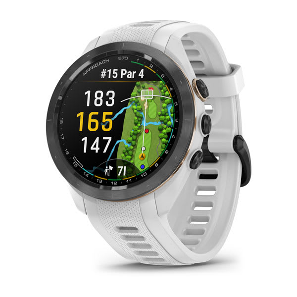
Approach® S70 - 42 mm
$1099.00 Add to cartOverview
IF GOLF IS YOUR WORLD, THIS IS YOUR WATCH
Meet Approach S70, the premium GPS golf watch with the tools and insights you’ll need to improve your game both on and off the course.
SUPERBRIGHT 1.2″ AMOLED TOUCHSCREEN DISPLAY
43,000+ PRELOADED COURSES FROM AROUND THE WORLD
ENHANCED PLAYSLIKE DISTANCE FEATURE
24/7 HEALTH MONITORING AND ACTIVITY TRACKING
STYLISH, LIGHTWEIGHT BUILD AND CERAMIC BEZEL
SHOW US WHAT YOU’VE GOT. TAG @GARMIN ON INSTAGRAM.
Amoled display
See your game in a whole new light with a superbright and easy-to-read 1.2″ AMOLED touch display.
43,000 PRELOADED COURSES
IMPROVED VIRTUAL CADDIE
ENHANCED PLAYSLIKE DISTANCE FEATURE
GREEN CONTOUR DATA
SPORTS APPS
Build the foundation for a better game with preloaded activity profiles for strength, HIIT, yoga, running and more.
STRENGTHEN YOUR GAME
wind speed and direction
Green View feature
KEEP TRACK AND KEEP SCORE
PINPOINTER FEATURE
HAZARD VIEW
Distance to green
MORE STATS
GARMIN GOLF APP
See your health and fitness information, connect with friends and more.
WATER-RESISTANT
MONITOR YOUR HEALTH
WRIST-BASED HEART RATE
HRV STATUS
LIFESTYLE LOGGING
Log behaviours — such as caffeine and alcohol intake — and view reports on how they impact your health in the Garmin Connect™ app.
STRESS TRACKING
BODY BATTERY™ ENERGY MONITORING
SLEEP SCORE AND ADVANCED SLEEP MONITORING
pulse ox sensor
HYDRATION TRACKING
WOMEN’S HEALTH TRACKING
IMPROVE YOUR FITNESS
FITNESS AGE
CREATE WORKOUTS
GARMIN COACH
HIIT WORKOUTS
Track your HIIT workouts, including AMRAP, EMOM, Tabata and custom.
ADVANCED STRENGTH TRAINING
Find scaling and strength PRs, plus graphics show what muscle groups you worked.
STAY CONNECTED
BATTERY LIFE
Get up to 14 days of battery life in smartwatch mode and up to 15 hours in GPS mode.
MUSIC
Download songs and playlists from your Spotify, Deezer, Amazon Music or YouTube® Music accounts for phone-free listening (subscription may be required).
CONNECT IQ™ STORE
Smart notifications
GARMIN PAY™ CONTACTLESS PAYMENTS
-
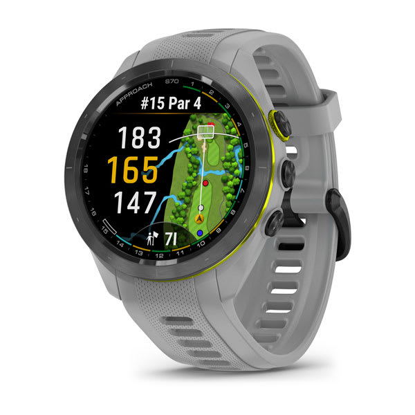
Approach® S70 - 42 mm
$1099.00 Add to cartOverview
IF GOLF IS YOUR WORLD, THIS IS YOUR WATCH
Meet Approach S70, the premium GPS golf watch with the tools and insights you’ll need to improve your game both on and off the course.
SUPERBRIGHT 1.2″ AMOLED TOUCHSCREEN DISPLAY
43,000+ PRELOADED COURSES FROM AROUND THE WORLD
ENHANCED PLAYSLIKE DISTANCE FEATURE
24/7 HEALTH MONITORING AND ACTIVITY TRACKING
STYLISH, LIGHTWEIGHT BUILD AND CERAMIC BEZEL
SHOW US WHAT YOU’VE GOT. TAG @GARMIN ON INSTAGRAM.
Amoled display
See your game in a whole new light with a superbright and easy-to-read 1.2″ AMOLED touch display.
43,000 PRELOADED COURSES
IMPROVED VIRTUAL CADDIE
ENHANCED PLAYSLIKE DISTANCE FEATURE
GREEN CONTOUR DATA
SPORTS APPS
Build the foundation for a better game with preloaded activity profiles for strength, HIIT, yoga, running and more.
STRENGTHEN YOUR GAME
wind speed and direction
Green View feature
KEEP TRACK AND KEEP SCORE
PINPOINTER FEATURE
HAZARD VIEW
Distance to green
MORE STATS
GARMIN GOLF APP
See your health and fitness information, connect with friends and more.
WATER-RESISTANT
MONITOR YOUR HEALTH
WRIST-BASED HEART RATE
HRV STATUS
LIFESTYLE LOGGING
Log behaviours — such as caffeine and alcohol intake — and view reports on how they impact your health in the Garmin Connect™ app.
STRESS TRACKING
BODY BATTERY™ ENERGY MONITORING
SLEEP SCORE AND ADVANCED SLEEP MONITORING
pulse ox sensor
HYDRATION TRACKING
WOMEN’S HEALTH TRACKING
IMPROVE YOUR FITNESS
FITNESS AGE
CREATE WORKOUTS
GARMIN COACH
HIIT WORKOUTS
Track your HIIT workouts, including AMRAP, EMOM, Tabata and custom.
ADVANCED STRENGTH TRAINING
Find scaling and strength PRs, plus graphics show what muscle groups you worked.
STAY CONNECTED
BATTERY LIFE
Get up to 14 days of battery life in smartwatch mode and up to 15 hours in GPS mode.
MUSIC
Download songs and playlists from your Spotify, Deezer, Amazon Music or YouTube® Music accounts for phone-free listening (subscription may be required).
CONNECT IQ™ STORE
Smart notifications
GARMIN PAY™ CONTACTLESS PAYMENTS
-
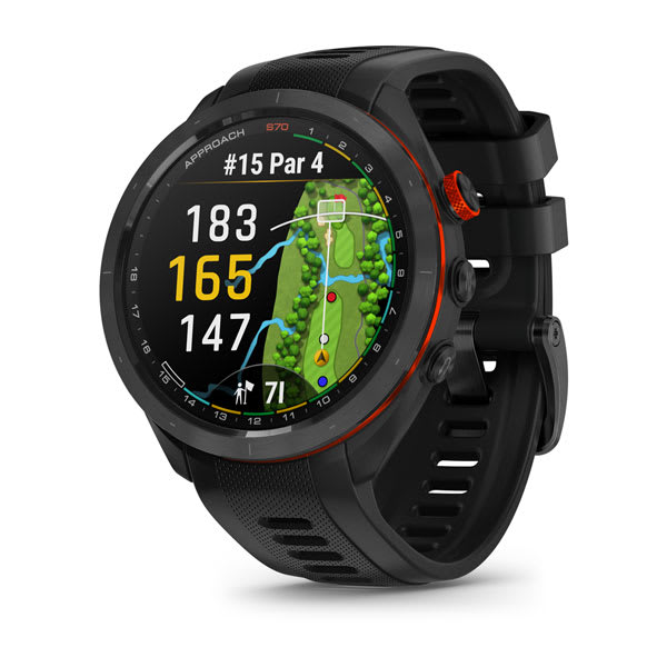
Approach® S70 - 47 mm
$1199.00 Add to cartOverview
IF GOLF IS YOUR WORLD, THIS IS YOUR WATCH
Meet Approach S70, the premium GPS golf watch with the tools and insights you’ll need to improve your game both on and off the course.
SUPERBRIGHT 1.2″ AMOLED TOUCHSCREEN DISPLAY
43,000+ PRELOADED COURSES FROM AROUND THE WORLD
ENHANCED PLAYSLIKE DISTANCE FEATURE
24/7 HEALTH MONITORING AND ACTIVITY TRACKING
STYLISH, LIGHTWEIGHT BUILD AND CERAMIC BEZEL
SHOW US WHAT YOU’VE GOT. TAG @GARMIN ON INSTAGRAM.
Amoled display
See your game in a whole new light with a superbright and easy-to-read 1.2″ AMOLED touch display.
43,000 PRELOADED COURSES
IMPROVED VIRTUAL CADDIE
ENHANCED PLAYSLIKE DISTANCE FEATURE
GREEN CONTOUR DATA
SPORTS APPS
Build the foundation for a better game with preloaded activity profiles for strength, HIIT, yoga, running and more.
STRENGTHEN YOUR GAME
wind speed and direction
Green View feature
KEEP TRACK AND KEEP SCORE
PINPOINTER FEATURE
HAZARD VIEW
Distance to green
MORE STATS
GARMIN GOLF APP
See your health and fitness information, connect with friends and more.
WATER-RESISTANT
MONITOR YOUR HEALTH
WRIST-BASED HEART RATE
HRV STATUS
LIFESTYLE LOGGING
Log behaviours — such as caffeine and alcohol intake — and view reports on how they impact your health in the Garmin Connect™ app.
STRESS TRACKING
BODY BATTERY™ ENERGY MONITORING
SLEEP SCORE AND ADVANCED SLEEP MONITORING
pulse ox sensor
HYDRATION TRACKING
WOMEN’S HEALTH TRACKING
IMPROVE YOUR FITNESS
FITNESS AGE
CREATE WORKOUTS
GARMIN COACH
HIIT WORKOUTS
Track your HIIT workouts, including AMRAP, EMOM, Tabata and custom.
ADVANCED STRENGTH TRAINING
Find scaling and strength PRs, plus graphics show what muscle groups you worked.
STAY CONNECTED
BATTERY LIFE
Get up to 14 days of battery life in smartwatch mode and up to 15 hours in GPS mode.
MUSIC
Download songs and playlists from your Spotify, Deezer, Amazon Music or YouTube® Music accounts for phone-free listening (subscription may be required).
CONNECT IQ™ STORE
Smart notifications
GARMIN PAY™ CONTACTLESS PAYMENTS
-
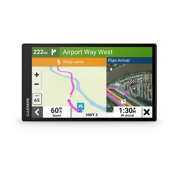
RV 795
$779.00 Add to cartOverview
Plan to make memories
Enjoy the view. The 7″ touchscreen shows your route and includes detailed map updates of Australia and New Zealand.
Know what's ahead with road warnings for steep grades, sharp curves and more.
Discover the best spots along your route and learn of recommended activities near your destination.
Plan your stops with a preloaded directory of campgrounds, RV parks and services plus Tripadvisor® traveler ratings.
Get the adventure rolling.
LARGE RV SCREEN
This easy-to-use 7″ GPS sat nav features a bright high-resolution edge-to-edge touchscreen display so you can easily see important route information.
CUSTOM RV ROUTING
ROAD WARNINGS
Know of upcoming steep grades, sharp curves, weight limits and more before you get to them. Detailed elevation information helps you prepare for possible steep grades along the route.
BirdsEye Direct Satellite Imagery
See vivid aerial views to help you with a smooth arrival at your RV park or campground.
ROADTRIP ROUTES FEATURE
View suggestions for more adventurous trips or scenic roads.
RV PARKS AND SERVICES
Simplify your trip with a preloaded directory of RV parks and services from ACSI™, Campercontact™ and Trailer’s PARK™, which can be filtered by amenity such as showers, electricity and more.
EASY TRIP PLANNING
Go. In the know.
GARMIN VOICE ASSIST
Need directions? Just say the word. The RV 795 sat nav responds to your spoken requests and then navigates to wherever you need to go. (Voice Assist is available in English, French, German, Italian, Spanish, Danish, Swedish, Dutch).
WIRELESS UPDATES
Built-in Wi-Fi® connectivity makes it easy to keep your maps and software up to date without using a computer. On-screen cues show when new updates are available.
LIVE TRAFFIC AND WEATHER
LIVE FUEL PRICES
Connect with the Garmin Drive™ app to get updates of real-time fuel prices along your route.
HANDS-FREE CALLING
Smart notifications
When paired with the Garmin Drive app, you’ll be able to see text messages and other notifications from your phone displayed on the sat nav’s screen.
Load up the fun.
TRAVEL INFORMED
View Tripadvisor traveler ratings for hotels, restaurants and attractions along your route or near your destination. Easily find new shops, restaurants and millions of other popular places with preloaded Foursquare® points of interest.
TRENDY PLACES FEATURE
Discover the best spots along your route with suggestions for trendy places.
LOCAL SPOTS FEATURE
Find local places to visit and exciting activities to try near your current location with local spot recommendations.
MAP COVERAGE
Your sat-nav includes map updates and comes preloaded with full Australia and New Zealand.
WORKS WITH BACKUP CAMERAS
CONTROL 12-VOLT ELECTRONICS
EYEWITNESS ON THE ROAD
See what's behind your vehicle with a Garmin backup camera.
Simplify your drive using the Garmin Drive™ app.
Control your vehicle's accessories with Garmin PowerSwitch™.
Get a Garmin Dash Cam™ to record the eyewitness proof.
-

RV 895
$1129.00 Add to cartOverview
Plan to make memories
Enjoy the view. The 7″ touchscreen shows your route and includes detailed map updates of Australia and New Zealand.
Know what's ahead with road warnings for steep grades, sharp curves and more.
Discover the best spots along your route and learn of recommended activities near your destination.
Plan your stops with a preloaded directory of campgrounds, RV parks and services plus Tripadvisor® traveler ratings.
Get the adventure rolling.
LARGE RV SCREEN
This easy-to-use 7″ GPS sat nav features a bright high-resolution edge-to-edge touchscreen display so you can easily see important route information.
CUSTOM RV ROUTING
ROAD WARNINGS
Know of upcoming steep grades, sharp curves, weight limits and more before you get to them. Detailed elevation information helps you prepare for possible steep grades along the route.
BirdsEye Direct Satellite Imagery
See vivid aerial views to help you with a smooth arrival at your RV park or campground.
ROADTRIP ROUTES FEATURE
View suggestions for more adventurous trips or scenic roads.
RV PARKS AND SERVICES
Simplify your trip with a preloaded directory of RV parks and services from ACSI™, Campercontact™ and Trailer’s PARK™, which can be filtered by amenity such as showers, electricity and more.
EASY TRIP PLANNING
Go. In the know.
GARMIN VOICE ASSIST
Need directions? Just say the word. The RV 795 sat nav responds to your spoken requests and then navigates to wherever you need to go. (Voice Assist is available in English, French, German, Italian, Spanish, Danish, Swedish, Dutch).
WIRELESS UPDATES
Built-in Wi-Fi® connectivity makes it easy to keep your maps and software up to date without using a computer. On-screen cues show when new updates are available.
LIVE TRAFFIC AND WEATHER
LIVE FUEL PRICES
Connect with the Garmin Drive™ app to get updates of real-time fuel prices along your route.
HANDS-FREE CALLING
Smart notifications
When paired with the Garmin Drive app, you’ll be able to see text messages and other notifications from your phone displayed on the sat nav’s screen.
Load up the fun.
TRAVEL INFORMED
View Tripadvisor traveler ratings for hotels, restaurants and attractions along your route or near your destination. Easily find new shops, restaurants and millions of other popular places with preloaded Foursquare® points of interest.
TRENDY PLACES FEATURE
Discover the best spots along your route with suggestions for trendy places.
LOCAL SPOTS FEATURE
Find local places to visit and exciting activities to try near your current location with local spot recommendations.
MAP COVERAGE
Your sat-nav includes map updates and comes preloaded with full Australia and New Zealand.
WORKS WITH BACKUP CAMERAS
CONTROL 12-VOLT ELECTRONICS
EYEWITNESS ON THE ROAD
See what's behind your vehicle with a Garmin backup camera.
Simplify your drive using the Garmin Drive™ app.
Control your vehicle's accessories with Garmin PowerSwitch™.
Get a Garmin Dash Cam™ to record the eyewitness proof.
-
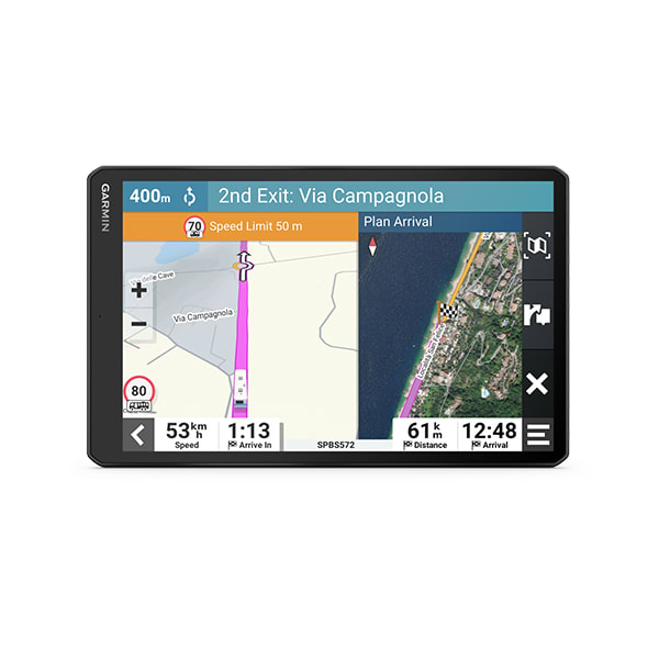
RV 1095
$1449.00 Add to cartOverview
Plan to make memories
Enjoy the view. The 7″ touchscreen shows your route and includes detailed map updates of Australia and New Zealand.
Know what's ahead with road warnings for steep grades, sharp curves and more.
Discover the best spots along your route and learn of recommended activities near your destination.
Plan your stops with a preloaded directory of campgrounds, RV parks and services plus Tripadvisor® traveler ratings.
Get the adventure rolling.
LARGE RV SCREEN
This easy-to-use 7″ GPS sat nav features a bright high-resolution edge-to-edge touchscreen display so you can easily see important route information.
CUSTOM RV ROUTING
ROAD WARNINGS
Know of upcoming steep grades, sharp curves, weight limits and more before you get to them. Detailed elevation information helps you prepare for possible steep grades along the route.
BirdsEye Direct Satellite Imagery
See vivid aerial views to help you with a smooth arrival at your RV park or campground.
ROADTRIP ROUTES FEATURE
View suggestions for more adventurous trips or scenic roads.
RV PARKS AND SERVICES
Simplify your trip with a preloaded directory of RV parks and services from ACSI™, Campercontact™ and Trailer’s PARK™, which can be filtered by amenity such as showers, electricity and more.
EASY TRIP PLANNING
Go. In the know.
GARMIN VOICE ASSIST
Need directions? Just say the word. The RV 795 sat nav responds to your spoken requests and then navigates to wherever you need to go. (Voice Assist is available in English, French, German, Italian, Spanish, Danish, Swedish, Dutch).
WIRELESS UPDATES
Built-in Wi-Fi® connectivity makes it easy to keep your maps and software up to date without using a computer. On-screen cues show when new updates are available.
LIVE TRAFFIC AND WEATHER
LIVE FUEL PRICES
Connect with the Garmin Drive™ app to get updates of real-time fuel prices along your route.
HANDS-FREE CALLING
Smart notifications
When paired with the Garmin Drive app, you’ll be able to see text messages and other notifications from your phone displayed on the sat nav’s screen.
Load up the fun.
TRAVEL INFORMED
View Tripadvisor traveler ratings for hotels, restaurants and attractions along your route or near your destination. Easily find new shops, restaurants and millions of other popular places with preloaded Foursquare® points of interest.
TRENDY PLACES FEATURE
Discover the best spots along your route with suggestions for trendy places.
LOCAL SPOTS FEATURE
Find local places to visit and exciting activities to try near your current location with local spot recommendations.
MAP COVERAGE
Your sat-nav includes map updates and comes preloaded with full Australia and New Zealand.
WORKS WITH BACKUP CAMERAS
CONTROL 12-VOLT ELECTRONICS
EYEWITNESS ON THE ROAD
See what's behind your vehicle with a Garmin backup camera.
Simplify your drive using the Garmin Drive™ app.
Control your vehicle's accessories with Garmin PowerSwitch™.
Get a Garmin Dash Cam™ to record the eyewitness proof.
-

Descent™ Mk3i – 51 mm
$2799.01 Add to cartOverview
DISCOVER A DEEPER CONNECTION
This advanced dive computer and smartwatch, sized for smaller wrists, comes with Garmin innovations to help prepare you to make the most of your diving experience — plus multisport training and smart features for your active life out of the water.
CHOOSE FROM MULTIPLE DIVE MODES
UP TO 30 HOURS OF BATTERY LIFE IN DIVE MODE
DIVEVIEW™ COLOUR MAPS WITH DEPTH CONTOURS AND DIVE SITES
SHARE AND REVIEW DIVES IN THE GARMIN DIVE™ SMARTPHONE APP
USE THE DIVE READINESS TOOL TO INFORM YOUR PREPARATION
DEEPEN YOUR CONFIDENCE WITH A 200-METER DIVE RATING
SHOW US WHAT YOU’VE GOT. TAG @GARMIN ON INSTAGRAM.
DIVE MODES
Get multiple dive modes for single and multiple gas dives (including nitrox and trimix), gauge, apnea, apnea hunt and closed-circuit rebreather.
DIVE READINESS TOOL
DIVEVIEW MAPS
CUSTOMISABLE DIVE MODES
Add additional screens for each dive mode that features the fields you want to see.
DIVE LOG
This feature automatically syncs with the Garmin Dive app on your compatible smartphone, allowing you to share and review data, track gear, post photos, take notes and more.
DIVE-FOCUSED DESIGN
With its bright 1.2” AMOLED color display, sapphire lens, 200-meter dive-rated case and leakproof metal inductive buttons, this watch is built to go deep.
DIVE FEATURES
LONG BATTERY LIFE
Stay in the water longer with up to 30 hours in dive mode plus up to 10 days in smartwatch mode.
LUME MODE
To aid readability and help maintain night vision, an ambient light sensor gives a green luminescence to your watch face in low-light conditions.
DIVE COMPASS
SURFACE GPS
GARMIN DIVE APP
REFERENCE POINT
VARIOMETER
Big Numbers Mode
TIDE DATA
NDL AWARE™ DEPTH METRICS
POST-DIVE ACTIVITY GUIDANCE
Physical fitness is important for divers, but exercising shortly after a dive can increase the risk of decompression sickness. Post-dive activity guidance alerts you when it may be a good idea to postpone your training due to a recent dive.
SETUP SHARING
Before a dive, avoid manually entering dive settings across both your primary and backup dive computers. Instead, seamlessly synchronise two compatible Descent dive computers, ensuring that each can function as a fully interchangeable backup to the other. You can sync dive settings such as gases, conservatism and alerts.
HEALTH AND FITNESS FEATURES
SPORTS APPS
Use preloaded activity profiles for trail running, swimming, running, biking, hiking, rowing, skiing, golfing and more.
SURF ACTIVITY
Record the number of waves surfed, maximum speed reached, distance traveled and more.
BACKCOUNTRY SKI AND SNOWBOARD
Get ascent and descent data along with metrics such as cadence, stride length and grade.
VO2 MAX
RECOVERY TIME
DAILY SUGGESTED WORKOUTS
ANIMATED WORKOUTS
Follow animated workouts for cardio, strength, yoga and Pilates workouts on the watch screen.
WRIST-BASED HEART RATE
LIFESTYLE LOGGING
Log behaviours — such as caffeine and alcohol intake — and view reports on how they impact your health in the Garmin Connect™ app.
pulse ox sensor
JET LAG ADVISER
endurance score
hill score
GARMIN COACH
SLEEP MONITORING AND SLEEP SCORE
WOMEN’S HEALTH TRACKING
BREATHING VARIATIONS
For a closer glimpse of your health, the breathing variations feature helps you understand shifts in your breathing patterns as you sleep⁵. These shifts could be related to environment, alcohol, or potential sleep disorders such as sleep apnea.
NAVIGATION AND ORIENTATION FEATURES
SATIQ™ TECHNOLOGY
Get superior positioning accuracy with multi-band GPS while optimising battery life.
MULTICONTINENT TOPO MAPS
SKIVIEW™ MAPS
ABC SENSORS
PACEPRO™ TECHNOLOGY
COURSES WITH TURN-BY-TURN DIRECTIONS
ROUND-TRIP ROUTING
CONNECTED LIFESTYLE FEATURES
SAFETY AND TRACKING FEATURES
MUSIC
Download songs and playlists from your Spotify, Deezer, Amazon Music or YouTube® Music accounts for phone-free listening (subscription may be required).
GARMIN PAY™ CONTACTLESS PAYMENTS
SMART NOTIFICATIONS
CONNECT IQ™ STORE
Add watch faces, data fields and apps to your paired smartwatch.
-
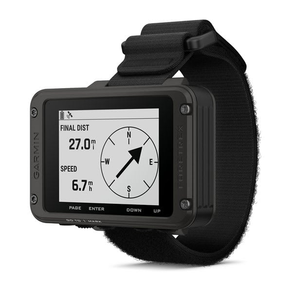
Foretrex® 801
$449.00 Add to cartOverview
MAKE THE MISSION POSSIBLE
This wrist-mounted GPS navigator is built for the mission and beyond. It features an easy-to-read monochromatic display, upgraded multi-band GNSS and advanced navigation sensors to help you explore with confidence.
EASY-TO-READ MONOCHROMATIC SCREEN
MULTI-BAND GNSS
NIGHT VISION GOGGLE COMPATIBLE
STEALTH MODE
PLAN ADVENTURES WITH THE GARMIN EXPLORE™ APP
KILL SWITCH
LONG BATTERY LIFE
Get up to 100 hours of battery life in navigation mode or up to 1000 hours in expedition mode; uses 2 field-replaceable AAA batteries (not included).
DURABLE
TACTICAL FEATURES
Use stealth mode to stop storing and sharing GPS data and disable wireless connectivity. In case of security issues, hit the kill switch to erase the device memory. Use jumpmaster mode to calculate high-altitude release points in accordance with military guidelines.
EASY-TO-READ SCREEN
The improved monochromatic screen is easy to read in a variety of lighting conditions, even with night vision goggles.
NAVIGATION SENSORS
Navigate the terrain with advanced sensors, including a 3-axis accelerometer, 3-axis compass and barometric altimeter. Get improved position accuracy with upgraded multi-band GNSS.
CONNECT YOUR DEVICES
-
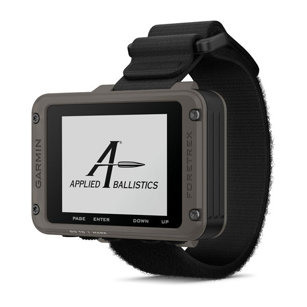
Foretrex® 901 Ballistic Edition
$999.00 Add to cartOverview
MAKE THE MISSION POSSIBLE
This wrist-mounted GPS navigator is built for the mission and beyond. It features an easy-to-read monochromatic display, upgraded multi-band GNSS and advanced navigation sensors to help you explore with confidence.
EASY-TO-READ MONOCHROMATIC SCREEN
MULTI-BAND GNSS
NIGHT VISION GOGGLE COMPATIBLE
STEALTH MODE
PLAN ADVENTURES WITH THE GARMIN EXPLORE™ APP
KILL SWITCH
LONG BATTERY LIFE
Get up to 100 hours of battery life in navigation mode or up to 1000 hours in expedition mode; uses 2 field-replaceable AAA batteries (not included).
DURABLE
TACTICAL FEATURES
Use stealth mode to stop storing and sharing GPS data and disable wireless connectivity. In case of security issues, hit the kill switch to erase the device memory. Use jumpmaster mode to calculate high-altitude release points in accordance with military guidelines.
EASY-TO-READ SCREEN
The improved monochromatic screen is easy to read in a variety of lighting conditions, even with night vision goggles.
NAVIGATION SENSORS
Navigate the terrain with advanced sensors, including a 3-axis accelerometer, 3-axis compass and barometric altimeter. Get improved position accuracy with upgraded multi-band GNSS.
CONNECT YOUR DEVICES
-
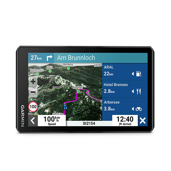
zūmo® XT2
$999.00 Add to cartOverview
THE LIFE OF YOUR RIDE
You need throttle therapy. The motorcycle sat nav is your prescription to hit the road, no matter where it goes. The bright 6″ display is glove-friendly and packed with features to help you find the perfect motorcycle route.
The bright 6″ display is easy to read, no matter the weather or light conditions.
Create custom routes with the visual route planner.
Find the twists and turns with the Garmin Adventurous Routing™ setting.
See popular moto paths to discover new places to ride.
Switch from street maps to topographic maps to satellite imagery with just a tap.
SHOW US WHAT YOU’VE GOT. TAG @GARMIN ON INSTAGRAM.
ULTRABRIGHT DISPLAY
The 6″ display is 15% larger than previous models and features an even brighter HD resolution in landscape or portrait mode.
DESIGNED TO ENDURE
VISUAL ROUTE PLANNER
Group Tracking
SIMPLE MAP SWITCHING
BIRDSEYE DIRECT SATELLITE IMAGERY
NAVIGATION
GARMIN ADVENTUROUS ROUTING
Straight roads are boring. Find the most thrilling routes with hills, curves and sights, and choose from 4 levels of difficulty.
GREAT RIDES
POPULAR PATHS
See popular moto paths ridden by other riders to find new and exciting routes to explore.
RIDE SUMMARIES
TRACK RECORDER
SHARE YOUR FAVOURITE ROUTES
Manage Your Data
TRAVEL FEATURES
TRENDY PLACES FEATURE
Discover the best spots along your route with suggestions for trendy places.
LOCAL SPOTS
Find local places to visit and exciting activities to try near your current location with local spot recommendations.
RIDER ALERTS
Get alerts for hazards along your route, such as upcoming sharp curves, speed changes and more.
MUSIC
Stream music from your smartphone through the sat nav, or play MP3 files stored on the sat nav — all to your connected helmet or headset.
CONNECTED FEATURES
WIRELESS UPDATES
EXTENSIVE MAP COVERAGE
LIVE TRAFFIC AND WEATHER
HANDLEBAR CONTROLLER
INCIDENT NOTIFICATIONS
CONTROL YOUR ACCESSORIES
Get more from your device with the Tread® app.
-

eTrex® Solar
$449.00 Add to cartOverview
TAP INTO ADVENTURE
This essential, simple-to-use touchscreen GPS handheld offers preloaded TopoActive maps with routable trails and roads for your outdoor adventure. Plus, the durable design and long battery life help you enjoy all your activities even more.
SWIPE AND ZOOM ON A BRIGHT 3″ TOUCHSCREEN
PRELOADED MAPS FOR ROADS AND TRAILS
LONG BATTERY LIFE OF UP TO 130 HOURS IN GPS MODE
PLAN AND REVIEW TRIPS WITH THE GARMIN EXPLORE™ SMARTPHONE APP
BUILT TOUGH (MIL-STD 810) AND WEATHER-RESISTANT (IP67)
OPTION TO PURCHASE AN OUTDOOR MAPS+ PLAN FOR PREMIUM MAPPING
SHOW US WHAT YOU’VE GOT. TAG @GARMIN ON INSTAGRAM.
TOUCHSCREEN
The slim, pocket-size handheld features a bright 3″ high-resolution colour touchscreen so you can easily swipe and zoom to follow your route.
RUGGED DESIGN
PRELOADED MAPS
View detailed TopoActive maps for roads and trails, and see terrain contours, topographic elevations, summits, parks, rivers, lakes and geographical points plus thousands of points of interest. Plus, get easy access to additional TopoActive mapping around the globe.
OUTDOOR MAPS+
PLAN AND REVIEW YOUR TRIP
WEATHER
Get real-time forecast information so you are aware of the changing conditions. This feature requires an active internet or Wi-Fi connection, or use of the Garmin Explore app on your paired smartphone.
ADVENTURE FEATURES
BATTERY LIFE
Get long battery life up to 130 hours in all satellite systems plus multi-band mode, assuming typical use with SatIQ™ technology; and up to 650 hours in expedition mode.
GPS ACCURACY
Know where you are with multi-band GPS and multi-GNSS support, which gives you access to multiple frequencies sent by navigation satellites for superior position accuracy.
FIND NEW DESTINATIONS
Popularity routing helps you navigate the best routes and rides. Round-trip routing allows you to enter a distance you want to travel for route suggestions that will bring you back to where you started.
ASCENT PLANNING
See upcoming climbs on your route, when they will occur and how steep they will be.
DIGITAL COMPASS
Follow your bearing on the digital compass, which provides an accurate heading even when stationary.
GEOCACHING
GARMIN SHARE
Easily share saved locations and courses with friends’ compatible Garmin devices.
ON THE GO
This device has an integrated Spine Mount 2 and is compatible with additional accessories, sold separately.
-
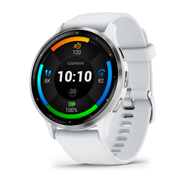
Venu® 3
$749.00 Add to cartOverview
VENU® 3S
KNOW THE REAL YOU
BRIGHT 1.2″ AMOLED TOUCHSCREEN DISPLAY
UP TO 10 DAYS OF BATTERY LIFE IN SMARTWATCH MODE
DETAILED HEALTH AND WELLNESS INSIGHTS
ADVANCED FITNESS FEATURES
WORKS WITH THE GARMIN CONNECT™ APP ON IPHONE® AND ANDROID™ SMARTPHONES
LIGHTWEIGHT 41 MM CASE WITH STAINLESS STEEL BEZEL
SHOW US WHAT YOU’VE GOT. TAG @GARMIN ON INSTAGRAM.
BODY BATTERY™ ENERGY MONITORING
SLEEP COACH
BUILT-IN SPORTS APPS
Track all the ways you move with more than 30 preloaded GPS and indoor sports apps — including walking, running, cycling, pool swimming, activities for wheelchair users and more.
BUILT-IN SPEAKER AND MICROPHONE
WORKOUT BENEFIT AND RECOVERY TIME
Better understand how each workout affects your body and how much time you need to recover so you can take on any fitness challenge.
GARMIN ECG APP
The ECG app³ uses sensors to record the electrical signals that control how your heart beats. It analyses that recording to detect signs of an irregular heart rhythm called atrial fibrillation (AFib).
HEALTH
MORNING REPORT
Receive an overview of your sleep, recovery, daily calendar, HRV status and more as soon as you wake up. You can even customise your report to show what you want to see.
NAP DETECTION
BREATHING VARIATIONS
Skin temperature
HRV STATUS
WRIST-BASED HEART RATE
STRESS TRACKING
WOMEN'S HEALTH TRACKING
NATURAL CYCLES° COMPATIBILITY
HEALTH SNAPSHOT
PULSE OX SENSOR
MEDITATION
Help reduce stress, anxiety and more with guided meditation practices.
MINDFUL BREATHING
JET LAG ADVISER
HYDRATION
RESPIRATION
FITNESS
WHEELCHAIR MODE
ANIMATED, ON-SCREEN WORKOUTS
GARMIN COACH
FITNESS AGE
WORKOUT CREATION
Create step-by-step workouts from more than 1,600 exercises in the Garmin Connect app, and send them directly to your fitness watch.
WRIST-BASED RUNNING POWER
See how much power you’re applying during your run so you can manage effort and fine-tune your training.
WRIST-BASED RUNNING DYNAMICS
This smartwatch measures crucial running metrics such as cadence, stride length, ground contact time and more to help improve your running form.
AUDIO PROMPTS FOR ACTIVITIES
Get guided audio prompts straight from your fitness watch for run and walk activities.
INTERVAL CREATION
Build your own interval workout for running and cycling activities.
PERCEIVED EXERTION
Record your rate of perceived exertion after each workout.
INTENSITY MINUTES
ACTIVITY TRACKING
VO2 MAX
CYCLING POWER
PREMIUM GOLF FEATURES
Enhance your golfing experience with full-colour CourseView maps, green contour data, the PlaysLike Distance feature and touch targeting on your wrist — with the purchase of a Garmin Golf™ membership.
CONNECT
GARMIN CONNECT APP
SMART NOTIFICATIONS
Receive emails, texts and alerts on your fitness watch when paired with your iPhone or Android smartphone.
ON-WRIST TEXTING
With an Android phone, respond to texts with the on-watch keyboard.
VIEW PHOTOS
With an Android phone, view photos sent to you directly from your watch’s screen.
GARMIN PAY™ CONTACTLESS PAYMENTS
MUSIC
SAFETY AND TRACKING
CONNECT IQ™ STORE
GOOGLE MAPS™ APP
Know where to go when walking, running or cycling. Enter your destination in Google Maps on your Android™ smartphone, then follow turn-by-turn directions on your wrist.
TWO FONT SIZES
Choose between a small or larger font size so you can view your data with ease.
-
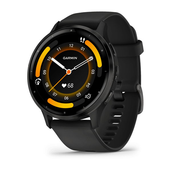
Venu® 3
$749.00 Add to cartOverview
VENU® 3S
KNOW THE REAL YOU
BRIGHT 1.2″ AMOLED TOUCHSCREEN DISPLAY
UP TO 10 DAYS OF BATTERY LIFE IN SMARTWATCH MODE
DETAILED HEALTH AND WELLNESS INSIGHTS
ADVANCED FITNESS FEATURES
WORKS WITH THE GARMIN CONNECT™ APP ON IPHONE® AND ANDROID™ SMARTPHONES
LIGHTWEIGHT 41 MM CASE WITH STAINLESS STEEL BEZEL
SHOW US WHAT YOU’VE GOT. TAG @GARMIN ON INSTAGRAM.
BODY BATTERY™ ENERGY MONITORING
SLEEP COACH
BUILT-IN SPORTS APPS
Track all the ways you move with more than 30 preloaded GPS and indoor sports apps — including walking, running, cycling, pool swimming, activities for wheelchair users and more.
BUILT-IN SPEAKER AND MICROPHONE
WORKOUT BENEFIT AND RECOVERY TIME
Better understand how each workout affects your body and how much time you need to recover so you can take on any fitness challenge.
GARMIN ECG APP
The ECG app³ uses sensors to record the electrical signals that control how your heart beats. It analyses that recording to detect signs of an irregular heart rhythm called atrial fibrillation (AFib).
HEALTH
MORNING REPORT
Receive an overview of your sleep, recovery, daily calendar, HRV status and more as soon as you wake up. You can even customise your report to show what you want to see.
NAP DETECTION
BREATHING VARIATIONS
Skin temperature
HRV STATUS
WRIST-BASED HEART RATE
STRESS TRACKING
WOMEN'S HEALTH TRACKING
NATURAL CYCLES° COMPATIBILITY
HEALTH SNAPSHOT
PULSE OX SENSOR
MEDITATION
Help reduce stress, anxiety and more with guided meditation practices.
MINDFUL BREATHING
JET LAG ADVISER
HYDRATION
RESPIRATION
FITNESS
WHEELCHAIR MODE
ANIMATED, ON-SCREEN WORKOUTS
GARMIN COACH
FITNESS AGE
WORKOUT CREATION
Create step-by-step workouts from more than 1,600 exercises in the Garmin Connect app, and send them directly to your fitness watch.
WRIST-BASED RUNNING POWER
See how much power you’re applying during your run so you can manage effort and fine-tune your training.
WRIST-BASED RUNNING DYNAMICS
This smartwatch measures crucial running metrics such as cadence, stride length, ground contact time and more to help improve your running form.
AUDIO PROMPTS FOR ACTIVITIES
Get guided audio prompts straight from your fitness watch for run and walk activities.
INTERVAL CREATION
Build your own interval workout for running and cycling activities.
PERCEIVED EXERTION
Record your rate of perceived exertion after each workout.
INTENSITY MINUTES
ACTIVITY TRACKING
VO2 MAX
CYCLING POWER
PREMIUM GOLF FEATURES
Enhance your golfing experience with full-colour CourseView maps, green contour data, the PlaysLike Distance feature and touch targeting on your wrist — with the purchase of a Garmin Golf™ membership.
CONNECT
GARMIN CONNECT APP
SMART NOTIFICATIONS
Receive emails, texts and alerts on your fitness watch when paired with your iPhone or Android smartphone.
ON-WRIST TEXTING
With an Android phone, respond to texts with the on-watch keyboard.
VIEW PHOTOS
With an Android phone, view photos sent to you directly from your watch’s screen.
GARMIN PAY™ CONTACTLESS PAYMENTS
MUSIC
SAFETY AND TRACKING
CONNECT IQ™ STORE
GOOGLE MAPS™ APP
Know where to go when walking, running or cycling. Enter your destination in Google Maps on your Android™ smartphone, then follow turn-by-turn directions on your wrist.
TWO FONT SIZES
Choose between a small or larger font size so you can view your data with ease.
-

Venu® 3S
$749.00 Add to cartOverview
VENU® 3S
KNOW THE REAL YOU
BRIGHT 1.2″ AMOLED TOUCHSCREEN DISPLAY
UP TO 10 DAYS OF BATTERY LIFE IN SMARTWATCH MODE
DETAILED HEALTH AND WELLNESS INSIGHTS
ADVANCED FITNESS FEATURES
WORKS WITH THE GARMIN CONNECT™ APP ON IPHONE® AND ANDROID™ SMARTPHONES
LIGHTWEIGHT 41 MM CASE WITH STAINLESS STEEL BEZEL
SHOW US WHAT YOU’VE GOT. TAG @GARMIN ON INSTAGRAM.
BODY BATTERY™ ENERGY MONITORING
SLEEP COACH
BUILT-IN SPORTS APPS
Track all the ways you move with more than 30 preloaded GPS and indoor sports apps — including walking, running, cycling, pool swimming, activities for wheelchair users and more.
BUILT-IN SPEAKER AND MICROPHONE
WORKOUT BENEFIT AND RECOVERY TIME
Better understand how each workout affects your body and how much time you need to recover so you can take on any fitness challenge.
GARMIN ECG APP
The ECG app³ uses sensors to record the electrical signals that control how your heart beats. It analyses that recording to detect signs of an irregular heart rhythm called atrial fibrillation (AFib).
HEALTH
MORNING REPORT
Receive an overview of your sleep, recovery, daily calendar, HRV status and more as soon as you wake up. You can even customise your report to show what you want to see.
NAP DETECTION
BREATHING VARIATIONS
Skin temperature
HRV STATUS
WRIST-BASED HEART RATE
STRESS TRACKING
WOMEN'S HEALTH TRACKING
NATURAL CYCLES° COMPATIBILITY
HEALTH SNAPSHOT
PULSE OX SENSOR
MEDITATION
Help reduce stress, anxiety and more with guided meditation practices.
MINDFUL BREATHING
JET LAG ADVISER
HYDRATION
RESPIRATION
FITNESS
WHEELCHAIR MODE
ANIMATED, ON-SCREEN WORKOUTS
GARMIN COACH
FITNESS AGE
WORKOUT CREATION
Create step-by-step workouts from more than 1,600 exercises in the Garmin Connect app, and send them directly to your fitness watch.
WRIST-BASED RUNNING POWER
See how much power you’re applying during your run so you can manage effort and fine-tune your training.
WRIST-BASED RUNNING DYNAMICS
This smartwatch measures crucial running metrics such as cadence, stride length, ground contact time and more to help improve your running form.
AUDIO PROMPTS FOR ACTIVITIES
Get guided audio prompts straight from your fitness watch for run and walk activities.
INTERVAL CREATION
Build your own interval workout for running and cycling activities.
PERCEIVED EXERTION
Record your rate of perceived exertion after each workout.
INTENSITY MINUTES
ACTIVITY TRACKING
VO2 MAX
CYCLING POWER
PREMIUM GOLF FEATURES
Enhance your golfing experience with full-colour CourseView maps, green contour data, the PlaysLike Distance feature and touch targeting on your wrist — with the purchase of a Garmin Golf™ membership.
CONNECT
GARMIN CONNECT APP
SMART NOTIFICATIONS
Receive emails, texts and alerts on your fitness watch when paired with your iPhone or Android smartphone.
ON-WRIST TEXTING
With an Android phone, respond to texts with the on-watch keyboard.
VIEW PHOTOS
With an Android phone, view photos sent to you directly from your watch’s screen.
GARMIN PAY™ CONTACTLESS PAYMENTS
MUSIC
SAFETY AND TRACKING
CONNECT IQ™ STORE
GOOGLE MAPS™ APP
Know where to go when walking, running or cycling. Enter your destination in Google Maps on your Android™ smartphone, then follow turn-by-turn directions on your wrist.
TWO FONT SIZES
Choose between a small or larger font size so you can view your data with ease.
-
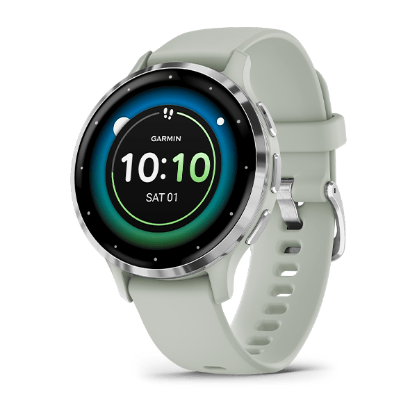
Venu® 3S
$749.00 Add to cartOverview
VENU® 3S
KNOW THE REAL YOU
BRIGHT 1.2″ AMOLED TOUCHSCREEN DISPLAY
UP TO 10 DAYS OF BATTERY LIFE IN SMARTWATCH MODE
DETAILED HEALTH AND WELLNESS INSIGHTS
ADVANCED FITNESS FEATURES
WORKS WITH THE GARMIN CONNECT™ APP ON IPHONE® AND ANDROID™ SMARTPHONES
LIGHTWEIGHT 41 MM CASE WITH STAINLESS STEEL BEZEL
SHOW US WHAT YOU’VE GOT. TAG @GARMIN ON INSTAGRAM.
BODY BATTERY™ ENERGY MONITORING
SLEEP COACH
BUILT-IN SPORTS APPS
Track all the ways you move with more than 30 preloaded GPS and indoor sports apps — including walking, running, cycling, pool swimming, activities for wheelchair users and more.
BUILT-IN SPEAKER AND MICROPHONE
WORKOUT BENEFIT AND RECOVERY TIME
Better understand how each workout affects your body and how much time you need to recover so you can take on any fitness challenge.
GARMIN ECG APP
The ECG app³ uses sensors to record the electrical signals that control how your heart beats. It analyses that recording to detect signs of an irregular heart rhythm called atrial fibrillation (AFib).
HEALTH
MORNING REPORT
Receive an overview of your sleep, recovery, daily calendar, HRV status and more as soon as you wake up. You can even customise your report to show what you want to see.
NAP DETECTION
BREATHING VARIATIONS
Skin temperature
HRV STATUS
WRIST-BASED HEART RATE
STRESS TRACKING
WOMEN'S HEALTH TRACKING
NATURAL CYCLES° COMPATIBILITY
HEALTH SNAPSHOT
PULSE OX SENSOR
MEDITATION
Help reduce stress, anxiety and more with guided meditation practices.
MINDFUL BREATHING
JET LAG ADVISER
HYDRATION
RESPIRATION
FITNESS
WHEELCHAIR MODE
ANIMATED, ON-SCREEN WORKOUTS
GARMIN COACH
FITNESS AGE
WORKOUT CREATION
Create step-by-step workouts from more than 1,600 exercises in the Garmin Connect app, and send them directly to your fitness watch.
WRIST-BASED RUNNING POWER
See how much power you’re applying during your run so you can manage effort and fine-tune your training.
WRIST-BASED RUNNING DYNAMICS
This smartwatch measures crucial running metrics such as cadence, stride length, ground contact time and more to help improve your running form.
AUDIO PROMPTS FOR ACTIVITIES
Get guided audio prompts straight from your fitness watch for run and walk activities.
INTERVAL CREATION
Build your own interval workout for running and cycling activities.
PERCEIVED EXERTION
Record your rate of perceived exertion after each workout.
INTENSITY MINUTES
ACTIVITY TRACKING
VO2 MAX
CYCLING POWER
PREMIUM GOLF FEATURES
Enhance your golfing experience with full-colour CourseView maps, green contour data, the PlaysLike Distance feature and touch targeting on your wrist — with the purchase of a Garmin Golf™ membership.
CONNECT
GARMIN CONNECT APP
SMART NOTIFICATIONS
Receive emails, texts and alerts on your fitness watch when paired with your iPhone or Android smartphone.
ON-WRIST TEXTING
With an Android phone, respond to texts with the on-watch keyboard.
VIEW PHOTOS
With an Android phone, view photos sent to you directly from your watch’s screen.
GARMIN PAY™ CONTACTLESS PAYMENTS
MUSIC
SAFETY AND TRACKING
CONNECT IQ™ STORE
GOOGLE MAPS™ APP
Know where to go when walking, running or cycling. Enter your destination in Google Maps on your Android™ smartphone, then follow turn-by-turn directions on your wrist.
TWO FONT SIZES
Choose between a small or larger font size so you can view your data with ease.
-
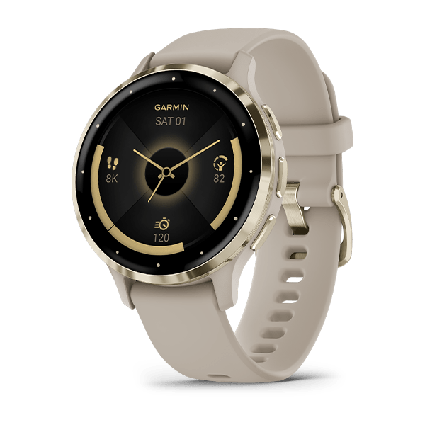
Venu® 3S
$749.00 Add to cartOverview
VENU® 3S
KNOW THE REAL YOU
BRIGHT 1.2″ AMOLED TOUCHSCREEN DISPLAY
UP TO 10 DAYS OF BATTERY LIFE IN SMARTWATCH MODE
DETAILED HEALTH AND WELLNESS INSIGHTS
ADVANCED FITNESS FEATURES
WORKS WITH THE GARMIN CONNECT™ APP ON IPHONE® AND ANDROID™ SMARTPHONES
LIGHTWEIGHT 41 MM CASE WITH STAINLESS STEEL BEZEL
SHOW US WHAT YOU’VE GOT. TAG @GARMIN ON INSTAGRAM.
BODY BATTERY™ ENERGY MONITORING
SLEEP COACH
BUILT-IN SPORTS APPS
Track all the ways you move with more than 30 preloaded GPS and indoor sports apps — including walking, running, cycling, pool swimming, activities for wheelchair users and more.
BUILT-IN SPEAKER AND MICROPHONE
WORKOUT BENEFIT AND RECOVERY TIME
Better understand how each workout affects your body and how much time you need to recover so you can take on any fitness challenge.
GARMIN ECG APP
The ECG app³ uses sensors to record the electrical signals that control how your heart beats. It analyses that recording to detect signs of an irregular heart rhythm called atrial fibrillation (AFib).
HEALTH
MORNING REPORT
Receive an overview of your sleep, recovery, daily calendar, HRV status and more as soon as you wake up. You can even customise your report to show what you want to see.
NAP DETECTION
BREATHING VARIATIONS
Skin temperature
HRV STATUS
WRIST-BASED HEART RATE
STRESS TRACKING
WOMEN'S HEALTH TRACKING
NATURAL CYCLES° COMPATIBILITY
HEALTH SNAPSHOT
PULSE OX SENSOR
MEDITATION
Help reduce stress, anxiety and more with guided meditation practices.
MINDFUL BREATHING
JET LAG ADVISER
HYDRATION
RESPIRATION
FITNESS
WHEELCHAIR MODE
ANIMATED, ON-SCREEN WORKOUTS
GARMIN COACH
FITNESS AGE
WORKOUT CREATION
Create step-by-step workouts from more than 1,600 exercises in the Garmin Connect app, and send them directly to your fitness watch.
WRIST-BASED RUNNING POWER
See how much power you’re applying during your run so you can manage effort and fine-tune your training.
WRIST-BASED RUNNING DYNAMICS
This smartwatch measures crucial running metrics such as cadence, stride length, ground contact time and more to help improve your running form.
AUDIO PROMPTS FOR ACTIVITIES
Get guided audio prompts straight from your fitness watch for run and walk activities.
INTERVAL CREATION
Build your own interval workout for running and cycling activities.
PERCEIVED EXERTION
Record your rate of perceived exertion after each workout.
INTENSITY MINUTES
ACTIVITY TRACKING
VO2 MAX
CYCLING POWER
PREMIUM GOLF FEATURES
Enhance your golfing experience with full-colour CourseView maps, green contour data, the PlaysLike Distance feature and touch targeting on your wrist — with the purchase of a Garmin Golf™ membership.
CONNECT
GARMIN CONNECT APP
SMART NOTIFICATIONS
Receive emails, texts and alerts on your fitness watch when paired with your iPhone or Android smartphone.
ON-WRIST TEXTING
With an Android phone, respond to texts with the on-watch keyboard.
VIEW PHOTOS
With an Android phone, view photos sent to you directly from your watch’s screen.
GARMIN PAY™ CONTACTLESS PAYMENTS
MUSIC
SAFETY AND TRACKING
CONNECT IQ™ STORE
GOOGLE MAPS™ APP
Know where to go when walking, running or cycling. Enter your destination in Google Maps on your Android™ smartphone, then follow turn-by-turn directions on your wrist.
TWO FONT SIZES
Choose between a small or larger font size so you can view your data with ease.
-
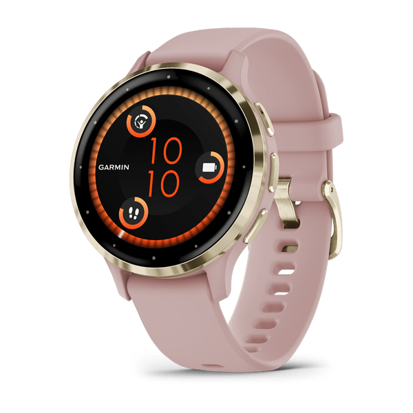
Venu® 3S
$749.00 Add to cartOverview
VENU® 3S
KNOW THE REAL YOU
BRIGHT 1.2″ AMOLED TOUCHSCREEN DISPLAY
UP TO 10 DAYS OF BATTERY LIFE IN SMARTWATCH MODE
DETAILED HEALTH AND WELLNESS INSIGHTS
ADVANCED FITNESS FEATURES
WORKS WITH THE GARMIN CONNECT™ APP ON IPHONE® AND ANDROID™ SMARTPHONES
LIGHTWEIGHT 41 MM CASE WITH STAINLESS STEEL BEZEL
SHOW US WHAT YOU’VE GOT. TAG @GARMIN ON INSTAGRAM.
BODY BATTERY™ ENERGY MONITORING
SLEEP COACH
BUILT-IN SPORTS APPS
Track all the ways you move with more than 30 preloaded GPS and indoor sports apps — including walking, running, cycling, pool swimming, activities for wheelchair users and more.
BUILT-IN SPEAKER AND MICROPHONE
WORKOUT BENEFIT AND RECOVERY TIME
Better understand how each workout affects your body and how much time you need to recover so you can take on any fitness challenge.
GARMIN ECG APP
The ECG app³ uses sensors to record the electrical signals that control how your heart beats. It analyses that recording to detect signs of an irregular heart rhythm called atrial fibrillation (AFib).
HEALTH
MORNING REPORT
Receive an overview of your sleep, recovery, daily calendar, HRV status and more as soon as you wake up. You can even customise your report to show what you want to see.
NAP DETECTION
BREATHING VARIATIONS
Skin temperature
HRV STATUS
WRIST-BASED HEART RATE
STRESS TRACKING
WOMEN'S HEALTH TRACKING
NATURAL CYCLES° COMPATIBILITY
HEALTH SNAPSHOT
PULSE OX SENSOR
MEDITATION
Help reduce stress, anxiety and more with guided meditation practices.
MINDFUL BREATHING
JET LAG ADVISER
HYDRATION
RESPIRATION
FITNESS
WHEELCHAIR MODE
ANIMATED, ON-SCREEN WORKOUTS
GARMIN COACH
FITNESS AGE
WORKOUT CREATION
Create step-by-step workouts from more than 1,600 exercises in the Garmin Connect app, and send them directly to your fitness watch.
WRIST-BASED RUNNING POWER
See how much power you’re applying during your run so you can manage effort and fine-tune your training.
WRIST-BASED RUNNING DYNAMICS
This smartwatch measures crucial running metrics such as cadence, stride length, ground contact time and more to help improve your running form.
AUDIO PROMPTS FOR ACTIVITIES
Get guided audio prompts straight from your fitness watch for run and walk activities.
INTERVAL CREATION
Build your own interval workout for running and cycling activities.
PERCEIVED EXERTION
Record your rate of perceived exertion after each workout.
INTENSITY MINUTES
ACTIVITY TRACKING
VO2 MAX
CYCLING POWER
PREMIUM GOLF FEATURES
Enhance your golfing experience with full-colour CourseView maps, green contour data, the PlaysLike Distance feature and touch targeting on your wrist — with the purchase of a Garmin Golf™ membership.
CONNECT
GARMIN CONNECT APP
SMART NOTIFICATIONS
Receive emails, texts and alerts on your fitness watch when paired with your iPhone or Android smartphone.
ON-WRIST TEXTING
With an Android phone, respond to texts with the on-watch keyboard.
VIEW PHOTOS
With an Android phone, view photos sent to you directly from your watch’s screen.
GARMIN PAY™ CONTACTLESS PAYMENTS
MUSIC
SAFETY AND TRACKING
CONNECT IQ™ STORE
GOOGLE MAPS™ APP
Know where to go when walking, running or cycling. Enter your destination in Google Maps on your Android™ smartphone, then follow turn-by-turn directions on your wrist.
TWO FONT SIZES
Choose between a small or larger font size so you can view your data with ease.
-

Venu® 3S
$749.00 Add to cartOverview
VENU® 3S
KNOW THE REAL YOU
BRIGHT 1.2″ AMOLED TOUCHSCREEN DISPLAY
UP TO 10 DAYS OF BATTERY LIFE IN SMARTWATCH MODE
DETAILED HEALTH AND WELLNESS INSIGHTS
ADVANCED FITNESS FEATURES
WORKS WITH THE GARMIN CONNECT™ APP ON IPHONE® AND ANDROID™ SMARTPHONES
LIGHTWEIGHT 41 MM CASE WITH STAINLESS STEEL BEZEL
SHOW US WHAT YOU’VE GOT. TAG @GARMIN ON INSTAGRAM.
BODY BATTERY™ ENERGY MONITORING
SLEEP COACH
BUILT-IN SPORTS APPS
Track all the ways you move with more than 30 preloaded GPS and indoor sports apps — including walking, running, cycling, pool swimming, activities for wheelchair users and more.
BUILT-IN SPEAKER AND MICROPHONE
WORKOUT BENEFIT AND RECOVERY TIME
Better understand how each workout affects your body and how much time you need to recover so you can take on any fitness challenge.
GARMIN ECG APP
The ECG app³ uses sensors to record the electrical signals that control how your heart beats. It analyses that recording to detect signs of an irregular heart rhythm called atrial fibrillation (AFib).
HEALTH
MORNING REPORT
Receive an overview of your sleep, recovery, daily calendar, HRV status and more as soon as you wake up. You can even customise your report to show what you want to see.
NAP DETECTION
BREATHING VARIATIONS
Skin temperature
HRV STATUS
WRIST-BASED HEART RATE
STRESS TRACKING
WOMEN'S HEALTH TRACKING
NATURAL CYCLES° COMPATIBILITY
HEALTH SNAPSHOT
PULSE OX SENSOR
MEDITATION
Help reduce stress, anxiety and more with guided meditation practices.
MINDFUL BREATHING
JET LAG ADVISER
HYDRATION
RESPIRATION
FITNESS
WHEELCHAIR MODE
ANIMATED, ON-SCREEN WORKOUTS
GARMIN COACH
FITNESS AGE
WORKOUT CREATION
Create step-by-step workouts from more than 1,600 exercises in the Garmin Connect app, and send them directly to your fitness watch.
WRIST-BASED RUNNING POWER
See how much power you’re applying during your run so you can manage effort and fine-tune your training.
WRIST-BASED RUNNING DYNAMICS
This smartwatch measures crucial running metrics such as cadence, stride length, ground contact time and more to help improve your running form.
AUDIO PROMPTS FOR ACTIVITIES
Get guided audio prompts straight from your fitness watch for run and walk activities.
INTERVAL CREATION
Build your own interval workout for running and cycling activities.
PERCEIVED EXERTION
Record your rate of perceived exertion after each workout.
INTENSITY MINUTES
ACTIVITY TRACKING
VO2 MAX
CYCLING POWER
PREMIUM GOLF FEATURES
Enhance your golfing experience with full-colour CourseView maps, green contour data, the PlaysLike Distance feature and touch targeting on your wrist — with the purchase of a Garmin Golf™ membership.
CONNECT
GARMIN CONNECT APP
SMART NOTIFICATIONS
Receive emails, texts and alerts on your fitness watch when paired with your iPhone or Android smartphone.
ON-WRIST TEXTING
With an Android phone, respond to texts with the on-watch keyboard.
VIEW PHOTOS
With an Android phone, view photos sent to you directly from your watch’s screen.
GARMIN PAY™ CONTACTLESS PAYMENTS
MUSIC
SAFETY AND TRACKING
CONNECT IQ™ STORE
GOOGLE MAPS™ APP
Know where to go when walking, running or cycling. Enter your destination in Google Maps on your Android™ smartphone, then follow turn-by-turn directions on your wrist.
TWO FONT SIZES
Choose between a small or larger font size so you can view your data with ease.
-
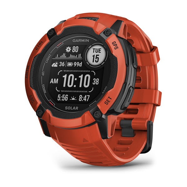
Instinct® 2X Solar
$769.00 Add to cartOverview
WHATEVER YOU DO, OWN IT
This rugged, solar charging GPS smartwatch is tough enough to keep up with you and unique enough to fit your style. Now it comes in two sizes to fit every wrist.
This watch is tough, which means no holding back.
Train your way with built-in sports apps at the wrist.
Push boundaries, but stay on track with access to more satellites.
Understand your body better with 24/7 health monitoring.
ENGINEERED FOR ENDURANCE
DESIGNED TO DO YOU
Bold colours, high-contrast displays and size options let you show the world that you do things your own way.
GET MORE BATTERY OUT OF LIFE
SHOW US WHAT YOU’VE GOT. TAG @GARMIN ON INSTAGRAM.
Track every adventure.
MULTI-GNSS SUPPORT
Whether you’re hiking, mountain biking, trail running or skiing, you’ll have access to multiple global navigation satellite systems (GPS, GLONASS and Galileo) to track in more challenging environments than GPS alone.
ABC SENSORS
Navigate your next trail with ABC sensors, including an altimeter for elevation data, barometer to monitor weather and 3-axis electronic compass.
TRACBACK® ROUTING
Take the guesswork out of your return journey by using this feature to navigate the same route back to your starting point.
REFERENCE POINT
Keep track of a known place — such as your car or the trailhead — relative to your location, and easily find your way back to it.
Live connected.
SMART NOTIFICATIONS
CONNECT IQ™ STORE
GARMIN PAY™ CONTACTLESS PAYMENTS
SAFETY AND TRACKING FEATURES
CALENDAR VIEW
SYNC WITH THE GARMIN CONNECT™ APP
Train your way.
BUILT-IN SPORTS APPS
Do whatever you love with preloaded activity profiles for running, cycling, swimming, strength training, indoor climbing, virtual running, golf, yoga and more.
HIIT WORKOUTS
This activity profile tracks your HIIT workouts, including AMRAP, EMOM, Tabata and custom. Set the number of rounds, work/rest intervals and more.
VO2 MAX
DAILY WORKOUT SUGGESTIONS
RECOVERY TIME
After each workout, recovery time lets you know when you’ll be ready for another hard workout. It even accounts for training intensity and factors such as stress, daily activity and sleep.
BACKCOUNTRY SKIING AND SNOWBOARDING
These activity profiles now automatically distinguish between descending and climbing. So you can hit start on your first run and leave your smartwatch tracking all day long.
MTB DYNAMICS
Track the details of every ride with mountain biking metrics plus specialised Grit™ and Flow™ measurements that rate trail difficulty and how smoothly you descend, giving you a score to beat next time.
WRIST-BASED RUNNING POWER
See how much power you’re applying to the trail or the road so you can manage your effort and fine-tune your training. No accessory required.
Know your body.
WRIST-BASED HEART RATE
STRESS TRACKING
Heart rate variability is used to calculate your stress level score, so you can see if you’re having a calm, balanced or stressful day.
SLEEP SCORE AND ADVANCED SLEEP MONITORING
Get a full breakdown of your light, deep and REM sleep stages. View it all on a dedicated widget that includes your sleep score and insights.
BODY BATTERY™ ENERGY MONITORING
Optimise your body’s energy reserves, using heart rate variability, stress, sleep and other data to gauge when you’re ready to be active or when you may need to rest.
PULSE OX
FITNESS AGE
This feature uses chronological age, your weekly vigorous activity, resting heart rate and BMI to estimate if your body is younger or older than you are. Get tips to lower your fitness age.
INTENSITY MINUTES
Track how many minutes of vigorous activity you’re getting, when you earn them and during which activity. You can even view them as a data field during timed activities.
WOMEN’S HEALTH TRACKING
QuickFit® accessory bands let you match your style with no tools required.
Customise your Garmin device using the Connect IQ™ Store
See your stats, and track your goals in the Garmin Connect™ app.
-
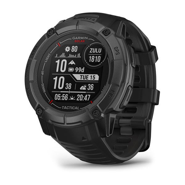
Instinct® 2X Solar - Tactical Edition
$849.00 Add to cartOverview
WHATEVER YOU DO, OWN IT
This rugged, solar charging GPS smartwatch is tough enough to keep up with you and unique enough to fit your style. Now it comes in two sizes to fit every wrist.
This watch is tough, which means no holding back.
Train your way with built-in sports apps at the wrist.
Push boundaries, but stay on track with access to more satellites.
Understand your body better with 24/7 health monitoring.
ENGINEERED FOR ENDURANCE
DESIGNED TO DO YOU
Bold colours, high-contrast displays and size options let you show the world that you do things your own way.
GET MORE BATTERY OUT OF LIFE
SHOW US WHAT YOU’VE GOT. TAG @GARMIN ON INSTAGRAM.
Track every adventure.
MULTI-GNSS SUPPORT
Whether you’re hiking, mountain biking, trail running or skiing, you’ll have access to multiple global navigation satellite systems (GPS, GLONASS and Galileo) to track in more challenging environments than GPS alone.
ABC SENSORS
Navigate your next trail with ABC sensors, including an altimeter for elevation data, barometer to monitor weather and 3-axis electronic compass.
TRACBACK® ROUTING
Take the guesswork out of your return journey by using this feature to navigate the same route back to your starting point.
REFERENCE POINT
Keep track of a known place — such as your car or the trailhead — relative to your location, and easily find your way back to it.
Live connected.
SMART NOTIFICATIONS
CONNECT IQ™ STORE
GARMIN PAY™ CONTACTLESS PAYMENTS
SAFETY AND TRACKING FEATURES
CALENDAR VIEW
SYNC WITH THE GARMIN CONNECT™ APP
Train your way.
BUILT-IN SPORTS APPS
Do whatever you love with preloaded activity profiles for running, cycling, swimming, strength training, indoor climbing, virtual running, golf, yoga and more.
HIIT WORKOUTS
This activity profile tracks your HIIT workouts, including AMRAP, EMOM, Tabata and custom. Set the number of rounds, work/rest intervals and more.
VO2 MAX
DAILY WORKOUT SUGGESTIONS
RECOVERY TIME
After each workout, recovery time lets you know when you’ll be ready for another hard workout. It even accounts for training intensity and factors such as stress, daily activity and sleep.
BACKCOUNTRY SKIING AND SNOWBOARDING
These activity profiles now automatically distinguish between descending and climbing. So you can hit start on your first run and leave your smartwatch tracking all day long.
MTB DYNAMICS
Track the details of every ride with mountain biking metrics plus specialised Grit™ and Flow™ measurements that rate trail difficulty and how smoothly you descend, giving you a score to beat next time.
WRIST-BASED RUNNING POWER
See how much power you’re applying to the trail or the road so you can manage your effort and fine-tune your training. No accessory required.
Know your body.
WRIST-BASED HEART RATE
STRESS TRACKING
Heart rate variability is used to calculate your stress level score, so you can see if you’re having a calm, balanced or stressful day.
SLEEP SCORE AND ADVANCED SLEEP MONITORING
Get a full breakdown of your light, deep and REM sleep stages. View it all on a dedicated widget that includes your sleep score and insights.
BODY BATTERY™ ENERGY MONITORING
Optimise your body’s energy reserves, using heart rate variability, stress, sleep and other data to gauge when you’re ready to be active or when you may need to rest.
PULSE OX
FITNESS AGE
This feature uses chronological age, your weekly vigorous activity, resting heart rate and BMI to estimate if your body is younger or older than you are. Get tips to lower your fitness age.
INTENSITY MINUTES
Track how many minutes of vigorous activity you’re getting, when you earn them and during which activity. You can even view them as a data field during timed activities.
WOMEN’S HEALTH TRACKING
QuickFit® accessory bands let you match your style with no tools required.
Customise your Garmin device using the Connect IQ™ Store
See your stats, and track your goals in the Garmin Connect™ app.
-
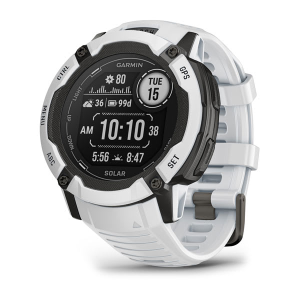
Instinct® 2X Solar
$769.00 Add to cartOverview
WHATEVER YOU DO, OWN IT
This rugged, solar charging GPS smartwatch is tough enough to keep up with you and unique enough to fit your style. Now it comes in two sizes to fit every wrist.
This watch is tough, which means no holding back.
Train your way with built-in sports apps at the wrist.
Push boundaries, but stay on track with access to more satellites.
Understand your body better with 24/7 health monitoring.
ENGINEERED FOR ENDURANCE
DESIGNED TO DO YOU
Bold colours, high-contrast displays and size options let you show the world that you do things your own way.
GET MORE BATTERY OUT OF LIFE
SHOW US WHAT YOU’VE GOT. TAG @GARMIN ON INSTAGRAM.
Track every adventure.
MULTI-GNSS SUPPORT
Whether you’re hiking, mountain biking, trail running or skiing, you’ll have access to multiple global navigation satellite systems (GPS, GLONASS and Galileo) to track in more challenging environments than GPS alone.
ABC SENSORS
Navigate your next trail with ABC sensors, including an altimeter for elevation data, barometer to monitor weather and 3-axis electronic compass.
TRACBACK® ROUTING
Take the guesswork out of your return journey by using this feature to navigate the same route back to your starting point.
REFERENCE POINT
Keep track of a known place — such as your car or the trailhead — relative to your location, and easily find your way back to it.
Live connected.
SMART NOTIFICATIONS
CONNECT IQ™ STORE
GARMIN PAY™ CONTACTLESS PAYMENTS
SAFETY AND TRACKING FEATURES
CALENDAR VIEW
SYNC WITH THE GARMIN CONNECT™ APP
Train your way.
BUILT-IN SPORTS APPS
Do whatever you love with preloaded activity profiles for running, cycling, swimming, strength training, indoor climbing, virtual running, golf, yoga and more.
HIIT WORKOUTS
This activity profile tracks your HIIT workouts, including AMRAP, EMOM, Tabata and custom. Set the number of rounds, work/rest intervals and more.
VO2 MAX
DAILY WORKOUT SUGGESTIONS
RECOVERY TIME
After each workout, recovery time lets you know when you’ll be ready for another hard workout. It even accounts for training intensity and factors such as stress, daily activity and sleep.
BACKCOUNTRY SKIING AND SNOWBOARDING
These activity profiles now automatically distinguish between descending and climbing. So you can hit start on your first run and leave your smartwatch tracking all day long.
MTB DYNAMICS
Track the details of every ride with mountain biking metrics plus specialised Grit™ and Flow™ measurements that rate trail difficulty and how smoothly you descend, giving you a score to beat next time.
WRIST-BASED RUNNING POWER
See how much power you’re applying to the trail or the road so you can manage your effort and fine-tune your training. No accessory required.
Know your body.
WRIST-BASED HEART RATE
STRESS TRACKING
Heart rate variability is used to calculate your stress level score, so you can see if you’re having a calm, balanced or stressful day.
SLEEP SCORE AND ADVANCED SLEEP MONITORING
Get a full breakdown of your light, deep and REM sleep stages. View it all on a dedicated widget that includes your sleep score and insights.
BODY BATTERY™ ENERGY MONITORING
Optimise your body’s energy reserves, using heart rate variability, stress, sleep and other data to gauge when you’re ready to be active or when you may need to rest.
PULSE OX
FITNESS AGE
This feature uses chronological age, your weekly vigorous activity, resting heart rate and BMI to estimate if your body is younger or older than you are. Get tips to lower your fitness age.
INTENSITY MINUTES
Track how many minutes of vigorous activity you’re getting, when you earn them and during which activity. You can even view them as a data field during timed activities.
WOMEN’S HEALTH TRACKING
QuickFit® accessory bands let you match your style with no tools required.
Customise your Garmin device using the Connect IQ™ Store
See your stats, and track your goals in the Garmin Connect™ app.
-
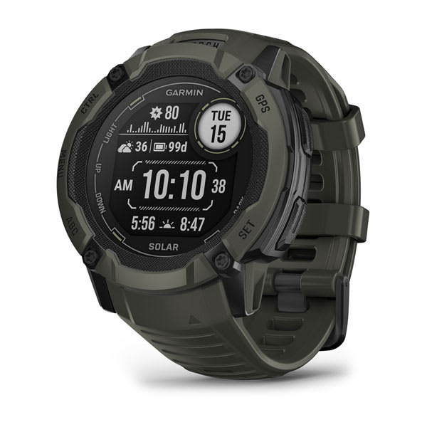
Instinct® 2X Solar
$769.00 Add to cartOverview
WHATEVER YOU DO, OWN IT
This rugged, solar charging GPS smartwatch is tough enough to keep up with you and unique enough to fit your style. Now it comes in two sizes to fit every wrist.
This watch is tough, which means no holding back.
Train your way with built-in sports apps at the wrist.
Push boundaries, but stay on track with access to more satellites.
Understand your body better with 24/7 health monitoring.
ENGINEERED FOR ENDURANCE
DESIGNED TO DO YOU
Bold colours, high-contrast displays and size options let you show the world that you do things your own way.
GET MORE BATTERY OUT OF LIFE
SHOW US WHAT YOU’VE GOT. TAG @GARMIN ON INSTAGRAM.
Track every adventure.
MULTI-GNSS SUPPORT
Whether you’re hiking, mountain biking, trail running or skiing, you’ll have access to multiple global navigation satellite systems (GPS, GLONASS and Galileo) to track in more challenging environments than GPS alone.
ABC SENSORS
Navigate your next trail with ABC sensors, including an altimeter for elevation data, barometer to monitor weather and 3-axis electronic compass.
TRACBACK® ROUTING
Take the guesswork out of your return journey by using this feature to navigate the same route back to your starting point.
REFERENCE POINT
Keep track of a known place — such as your car or the trailhead — relative to your location, and easily find your way back to it.
Live connected.
SMART NOTIFICATIONS
CONNECT IQ™ STORE
GARMIN PAY™ CONTACTLESS PAYMENTS
SAFETY AND TRACKING FEATURES
CALENDAR VIEW
SYNC WITH THE GARMIN CONNECT™ APP
Train your way.
BUILT-IN SPORTS APPS
Do whatever you love with preloaded activity profiles for running, cycling, swimming, strength training, indoor climbing, virtual running, golf, yoga and more.
HIIT WORKOUTS
This activity profile tracks your HIIT workouts, including AMRAP, EMOM, Tabata and custom. Set the number of rounds, work/rest intervals and more.
VO2 MAX
DAILY WORKOUT SUGGESTIONS
RECOVERY TIME
After each workout, recovery time lets you know when you’ll be ready for another hard workout. It even accounts for training intensity and factors such as stress, daily activity and sleep.
BACKCOUNTRY SKIING AND SNOWBOARDING
These activity profiles now automatically distinguish between descending and climbing. So you can hit start on your first run and leave your smartwatch tracking all day long.
MTB DYNAMICS
Track the details of every ride with mountain biking metrics plus specialised Grit™ and Flow™ measurements that rate trail difficulty and how smoothly you descend, giving you a score to beat next time.
WRIST-BASED RUNNING POWER
See how much power you’re applying to the trail or the road so you can manage your effort and fine-tune your training. No accessory required.
Know your body.
WRIST-BASED HEART RATE
STRESS TRACKING
Heart rate variability is used to calculate your stress level score, so you can see if you’re having a calm, balanced or stressful day.
SLEEP SCORE AND ADVANCED SLEEP MONITORING
Get a full breakdown of your light, deep and REM sleep stages. View it all on a dedicated widget that includes your sleep score and insights.
BODY BATTERY™ ENERGY MONITORING
Optimise your body’s energy reserves, using heart rate variability, stress, sleep and other data to gauge when you’re ready to be active or when you may need to rest.
PULSE OX
FITNESS AGE
This feature uses chronological age, your weekly vigorous activity, resting heart rate and BMI to estimate if your body is younger or older than you are. Get tips to lower your fitness age.
INTENSITY MINUTES
Track how many minutes of vigorous activity you’re getting, when you earn them and during which activity. You can even view them as a data field during timed activities.
WOMEN’S HEALTH TRACKING
QuickFit® accessory bands let you match your style with no tools required.
Customise your Garmin device using the Connect IQ™ Store
See your stats, and track your goals in the Garmin Connect™ app.
-
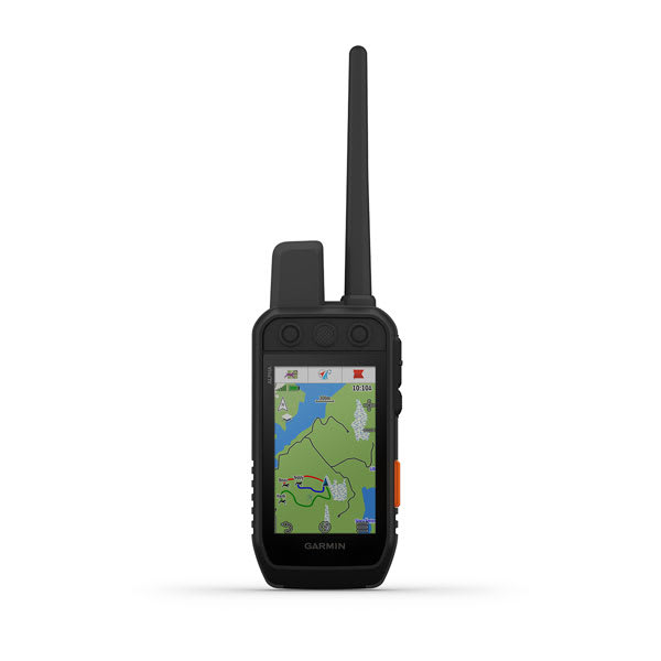
Alpha® 300i
$1499.00 Add to cartOverview
STRONG CONNECTION. STRONG BOND.
Open hilltops, rolling countryside, dense hardwoods, rocky ridges — no matter where you explore, you and your dogs need reliable gear.
INTERACT WITH A RESPONSIVE TOUCHSCREEN AND BUTTONS
TRACK AND TRAIN YOUR PACK IN THE FIELD
GET UP TO 50 HOURS OF BATTERY LIFE WITH INREACH TECHNOLOGY ENABLED
NAVIGATE WITH TOPOACTIVE MAPS AND DOWNLOADABLE SATELLITE IMAGERY
VIVID DISPLAY AND TOUCHSCREEN
See your maps and track your dogs on an even brighter 3.5” display with up to a 2.5-second update rate. Easily interact with the device on a responsive touchscreen, even with gloves on, and read the screen in a variety of light conditions.
CHANNEL VIEW
Monitor the concentration of collars in the area, and easily select less congested channels to avoid interference.
SOS ALERTS AND TWO-WAY MESSAGING
In case of an emergency, use inReach satellite technology to send an interactive SOS message. Keep in touch and exchange text messages with friends and family where cell service doesn’t exist. You can also track your location and share it with those at home or out in the field.
TRACK YOUR PACK
Monitor up to 20 dogs with your compatible dog collars — from up to 14.5 kilometres away — on the colour touchscreen display.
TRAIN YOUR PACK
Use dedicated buttons for fast training cues by using audible tone or vibration commands. Select from 18 levels of momentary and continuous stimulation for quick adjustments to individual dogs, when your Alpha device is paired with your compatible training-enabled collar.
SATELLITE IMAGERY
HANDHELD FEATURES
LONG-LASTING BATTERY
The user-replaceable battery lasts up to 55 hours— or 50 hours with inReach technology enabled.
GROUP MANAGEMENT
Save time at the start of every outing with groups of dogs and people whom you explore with.
MONITOR THE DOGS
See when a dog is “treed” or “on point.”
ALPHA™ APP
BACKWARD COMPATIBLE
Easily pair the handheld to select T and TT™ series collars.
DOG LIST
Store up to 250 dogs, making it easy to switch active collars in the field.
DOG METRICS
INREACH TECHNOLOGY FEATURES
OPTIONAL INREACH WEATHER
ALPHA™ APP
MAPSHARE™ TRIP SHARING PAGE
NAVIGATION FEATURES
MULTI-GNSS SUPPORT
Access multiple global navigation satellite systems for better service in challenging environments.
PRO VIEW COMPASS
This simple, at-a-glance tracking shows which direction and how far away your dogs are.
TopoActive maps
Get detailed views of terrain contours, topographic elevations, summits, parks and more.
PREMIUM MAP FEATURES
Altimeter
The barometric altimeter helps you accurately monitor ascent and descent.
3-AXIS COMPASS
Navigate with the tilt-compensated 3-axis electronic compass — whether you’re moving or not.
-
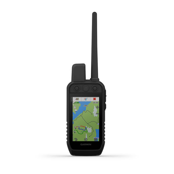
Alpha® 300
$1349.00 Add to cartOverview
STRONG CONNECTION. STRONG BOND.
Open hilltops, rolling countryside, dense hardwoods, rocky ridges — no matter where you explore, you and your dogs need reliable gear.
INTERACT WITH A RESPONSIVE TOUCHSCREEN AND BUTTONS
TRACK AND TRAIN YOUR PACK IN THE FIELD
GET UP TO 50 HOURS OF BATTERY LIFE WITH INREACH TECHNOLOGY ENABLED
NAVIGATE WITH TOPOACTIVE MAPS AND DOWNLOADABLE SATELLITE IMAGERY
VIVID DISPLAY AND TOUCHSCREEN
See your maps and track your dogs on an even brighter 3.5” display with up to a 2.5-second update rate. Easily interact with the device on a responsive touchscreen, even with gloves on, and read the screen in a variety of light conditions.
CHANNEL VIEW
Monitor the concentration of collars in the area, and easily select less congested channels to avoid interference.
SOS ALERTS AND TWO-WAY MESSAGING
In case of an emergency, use inReach satellite technology to send an interactive SOS message. Keep in touch and exchange text messages with friends and family where cell service doesn’t exist. You can also track your location and share it with those at home or out in the field.
TRACK YOUR PACK
Monitor up to 20 dogs with your compatible dog collars — from up to 14.5 kilometres away — on the colour touchscreen display.
TRAIN YOUR PACK
Use dedicated buttons for fast training cues by using audible tone or vibration commands. Select from 18 levels of momentary and continuous stimulation for quick adjustments to individual dogs, when your Alpha device is paired with your compatible training-enabled collar.
SATELLITE IMAGERY
HANDHELD FEATURES
LONG-LASTING BATTERY
The user-replaceable battery lasts up to 55 hours— or 50 hours with inReach technology enabled.
GROUP MANAGEMENT
Save time at the start of every outing with groups of dogs and people whom you explore with.
MONITOR THE DOGS
See when a dog is “treed” or “on point.”
ALPHA™ APP
BACKWARD COMPATIBLE
Easily pair the handheld to select T and TT™ series collars.
DOG LIST
Store up to 250 dogs, making it easy to switch active collars in the field.
DOG METRICS
INREACH TECHNOLOGY FEATURES
OPTIONAL INREACH WEATHER
ALPHA™ APP
MAPSHARE™ TRIP SHARING PAGE
NAVIGATION FEATURES
MULTI-GNSS SUPPORT
Access multiple global navigation satellite systems for better service in challenging environments.
PRO VIEW COMPASS
This simple, at-a-glance tracking shows which direction and how far away your dogs are.
TopoActive maps
Get detailed views of terrain contours, topographic elevations, summits, parks and more.
PREMIUM MAP FEATURES
Altimeter
The barometric altimeter helps you accurately monitor ascent and descent.
3-AXIS COMPASS
Navigate with the tilt-compensated 3-axis electronic compass — whether you’re moving or not.
-
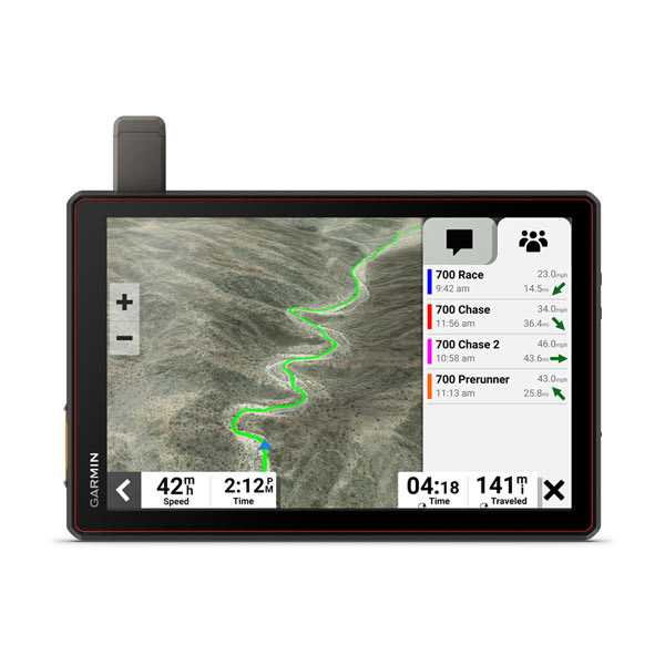
Tread® XL - Baja Chase Edition
$3049.00 Add to cartOverview
Navigate the unforgiving
Built for high speed and high performance, this rugged off-road chase navigator has the tools you need to stay on track and the communication technology to stay in touch with global satellite coverage. With Tread XL - Baja Chase Edition, you'll know where your race vehicle is and be able to communicate and support your team if any challenges come up or if you need to coordinate repairs.
GPX course file-compatibility lets you view course start/end, racetrack line, virtual checkpoints, pit locations and race mile markers.
This rugged navigator is IP67 dust and weather-resistant and has a 10″ ultrabright touchscreen display.
Get prerunning tools for creating custom pace notes — such as “sharp turn” — to help navigate your most efficient route through virtual checkpoints.
The Tread Baja Chase Edition includes a heavy-duty suction cup for easy portability from one support truck to another.
Put your device in chase mode to track your race vehicle with real-time updates on the map.
Be ready to support your race vehicle.
TEAM TRACKING
EASY PORTABILITY
The Tread Baja Chase Edition has a heavy-duty suction cup, vehicle power cable and robust, portable mounting hardware to easily move from one chase truck to another.
KNOW THE COURSE
Import the GPX data ahead of time to view the course start/end, racetrack line, all virtual checkpoints, pit locations and race mile markers.
PRERUNNING TOOLS
Prerunning tools let you create custom pace notes — such as “sharp turn,” “stepdown” or “danger” — to help you anticipate obstacles and navigate the most efficient route through all virtual checkpoints.
TRACK YOUR TRUCK
When in chase mode, use your device to track a race vehicle with real-time updates on the map.
HIGH-PERFORMANCE GPS
CONTROL YOUR ACCESSORIES
OFF-ROAD RUGGEDNESS
TEAM TRACKING PLANS
Enjoy team tracking with unlimited SOS, text messages and more ( requires active).
SATELLITE IMAGERY
OUTDOOR MAPS+
Track your team with an inReach Flex Team subscription.
Control your vehicle's accessories with Garmin PowerSwitch™.
See what's behind your vehicle with a Garmin backup camera.
Support your need to wander with off-road maps for every adventure
-

Lily® 2
$429.00 Add to cartOverview
STYLISH PATTERNED LENS REVEALS A BRIGHT TOUCHSCREEN DISPLAY
BUILT-IN GPS, FITNESS TRACKING AND SPORTS APPS
UP TO 9 DAYS OF BATTERY LIFE
SMALL, FASHIONABLE SMARTWATCH WITH A METAL CASE AND TWO BUTTONS
SHOW US WHAT YOU’VE GOT. TAG @GARMIN ON INSTAGRAM.
SMALL, STYLISH DESIGN
Perfect for any look, this smartwatch features a metal watch case, two buttons and a beautiful patterned lens. Plus, with a quick tap or wrist turn, the Lily 2 Active smartwatch reveals a bright display.
BUILT-IN GPS
No matter where your workout takes you, accurately track your outdoor activities, including walks, runs and more — without compromising style.
BODY BATTERY™ ENERGY MONITORING
SLEEP SCORE
FITNESS TRACKING AND SPORTS APPS
GARMIN PAY™ CONTACTLESS PAYMENTS
HEALTH
WRIST-BASED HEART RATE
HRV STATUS
LIFESTYLE LOGGING
Log behaviours — such as caffeine and alcohol intake — and view reports on how they impact your health in the Garmin Connect™ app.
MORNING REPORT
Receive and customise an overview of your sleep, daily calendar, weather and more as soon as you wake up.
WOMEN’S HEALTH TRACKING
HEALTH SNAPSHOT
STRESS TRACKING
MEDITATION
Help reduce stress, anxiety and more with meditation practices.
MINDFUL BREATHING
PULSE OX SENSOR
RESPIRATION
HYDRATION
NAP DETECTION
BREATHING VARIATIONS
FITNESS
DANCE FITNESS ACTIVITY
MOVE ALERTS
Get reminders to move your body, including a variety of movement options.
INTENSITY MINUTES
FITNESS AGE
ON-SCREEN WORKOUTS
Download and follow on-screen workouts for strength, HIIT, yoga and more.
GARMIN COACH
CONNECTIVITY
SMART NOTIFICATIONS
Receive emails, texts and alerts on your fitness watch when paired with your iPhone or Android smartphone.
SAFETY AND TRACKING
GARMIN CONNECT™ APP
CALENDAR VIEW
-
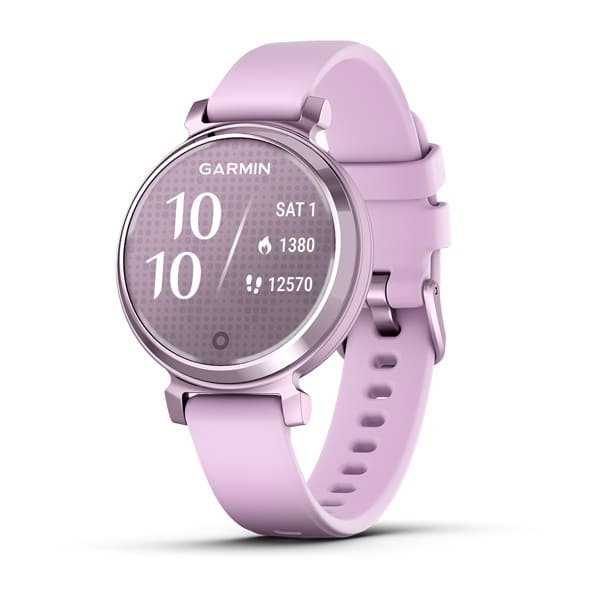
Lily® 2
$429.00 Add to cartOverview
STYLISH PATTERNED LENS REVEALS A BRIGHT TOUCHSCREEN DISPLAY
BUILT-IN GPS, FITNESS TRACKING AND SPORTS APPS
UP TO 9 DAYS OF BATTERY LIFE
SMALL, FASHIONABLE SMARTWATCH WITH A METAL CASE AND TWO BUTTONS
SHOW US WHAT YOU’VE GOT. TAG @GARMIN ON INSTAGRAM.
SMALL, STYLISH DESIGN
Perfect for any look, this smartwatch features a metal watch case, two buttons and a beautiful patterned lens. Plus, with a quick tap or wrist turn, the Lily 2 Active smartwatch reveals a bright display.
BUILT-IN GPS
No matter where your workout takes you, accurately track your outdoor activities, including walks, runs and more — without compromising style.
BODY BATTERY™ ENERGY MONITORING
SLEEP SCORE
FITNESS TRACKING AND SPORTS APPS
GARMIN PAY™ CONTACTLESS PAYMENTS
HEALTH
WRIST-BASED HEART RATE
HRV STATUS
LIFESTYLE LOGGING
Log behaviours — such as caffeine and alcohol intake — and view reports on how they impact your health in the Garmin Connect™ app.
MORNING REPORT
Receive and customise an overview of your sleep, daily calendar, weather and more as soon as you wake up.
WOMEN’S HEALTH TRACKING
HEALTH SNAPSHOT
STRESS TRACKING
MEDITATION
Help reduce stress, anxiety and more with meditation practices.
MINDFUL BREATHING
PULSE OX SENSOR
RESPIRATION
HYDRATION
NAP DETECTION
BREATHING VARIATIONS
FITNESS
DANCE FITNESS ACTIVITY
MOVE ALERTS
Get reminders to move your body, including a variety of movement options.
INTENSITY MINUTES
FITNESS AGE
ON-SCREEN WORKOUTS
Download and follow on-screen workouts for strength, HIIT, yoga and more.
GARMIN COACH
CONNECTIVITY
SMART NOTIFICATIONS
Receive emails, texts and alerts on your fitness watch when paired with your iPhone or Android smartphone.
SAFETY AND TRACKING
GARMIN CONNECT™ APP
CALENDAR VIEW
-

Lily® 2 Classic
$499.00 Add to cartOverview
STYLISH PATTERNED LENS REVEALS A BRIGHT TOUCHSCREEN DISPLAY
BUILT-IN GPS, FITNESS TRACKING AND SPORTS APPS
UP TO 9 DAYS OF BATTERY LIFE
SMALL, FASHIONABLE SMARTWATCH WITH A METAL CASE AND TWO BUTTONS
SHOW US WHAT YOU’VE GOT. TAG @GARMIN ON INSTAGRAM.
SMALL, STYLISH DESIGN
Perfect for any look, this smartwatch features a metal watch case, two buttons and a beautiful patterned lens. Plus, with a quick tap or wrist turn, the Lily 2 Active smartwatch reveals a bright display.
BUILT-IN GPS
No matter where your workout takes you, accurately track your outdoor activities, including walks, runs and more — without compromising style.
BODY BATTERY™ ENERGY MONITORING
SLEEP SCORE
FITNESS TRACKING AND SPORTS APPS
GARMIN PAY™ CONTACTLESS PAYMENTS
HEALTH
WRIST-BASED HEART RATE
HRV STATUS
LIFESTYLE LOGGING
Log behaviours — such as caffeine and alcohol intake — and view reports on how they impact your health in the Garmin Connect™ app.
MORNING REPORT
Receive and customise an overview of your sleep, daily calendar, weather and more as soon as you wake up.
WOMEN’S HEALTH TRACKING
HEALTH SNAPSHOT
STRESS TRACKING
MEDITATION
Help reduce stress, anxiety and more with meditation practices.
MINDFUL BREATHING
PULSE OX SENSOR
RESPIRATION
HYDRATION
NAP DETECTION
BREATHING VARIATIONS
FITNESS
DANCE FITNESS ACTIVITY
MOVE ALERTS
Get reminders to move your body, including a variety of movement options.
INTENSITY MINUTES
FITNESS AGE
ON-SCREEN WORKOUTS
Download and follow on-screen workouts for strength, HIIT, yoga and more.
GARMIN COACH
CONNECTIVITY
SMART NOTIFICATIONS
Receive emails, texts and alerts on your fitness watch when paired with your iPhone or Android smartphone.
SAFETY AND TRACKING
GARMIN CONNECT™ APP
CALENDAR VIEW
-
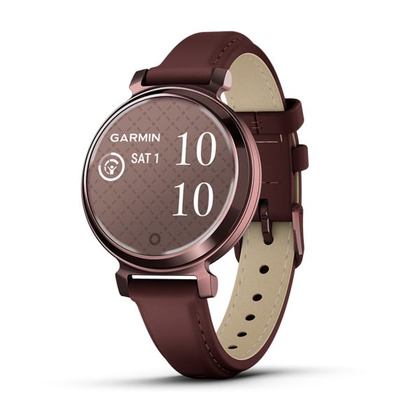
Lily® 2 Classic
$499.00 Add to cartOverview
STYLISH PATTERNED LENS REVEALS A BRIGHT TOUCHSCREEN DISPLAY
BUILT-IN GPS, FITNESS TRACKING AND SPORTS APPS
UP TO 9 DAYS OF BATTERY LIFE
SMALL, FASHIONABLE SMARTWATCH WITH A METAL CASE AND TWO BUTTONS
SHOW US WHAT YOU’VE GOT. TAG @GARMIN ON INSTAGRAM.
SMALL, STYLISH DESIGN
Perfect for any look, this smartwatch features a metal watch case, two buttons and a beautiful patterned lens. Plus, with a quick tap or wrist turn, the Lily 2 Active smartwatch reveals a bright display.
BUILT-IN GPS
No matter where your workout takes you, accurately track your outdoor activities, including walks, runs and more — without compromising style.
BODY BATTERY™ ENERGY MONITORING
SLEEP SCORE
FITNESS TRACKING AND SPORTS APPS
GARMIN PAY™ CONTACTLESS PAYMENTS
HEALTH
WRIST-BASED HEART RATE
HRV STATUS
LIFESTYLE LOGGING
Log behaviours — such as caffeine and alcohol intake — and view reports on how they impact your health in the Garmin Connect™ app.
MORNING REPORT
Receive and customise an overview of your sleep, daily calendar, weather and more as soon as you wake up.
WOMEN’S HEALTH TRACKING
HEALTH SNAPSHOT
STRESS TRACKING
MEDITATION
Help reduce stress, anxiety and more with meditation practices.
MINDFUL BREATHING
PULSE OX SENSOR
RESPIRATION
HYDRATION
NAP DETECTION
BREATHING VARIATIONS
FITNESS
DANCE FITNESS ACTIVITY
MOVE ALERTS
Get reminders to move your body, including a variety of movement options.
INTENSITY MINUTES
FITNESS AGE
ON-SCREEN WORKOUTS
Download and follow on-screen workouts for strength, HIIT, yoga and more.
GARMIN COACH
CONNECTIVITY
SMART NOTIFICATIONS
Receive emails, texts and alerts on your fitness watch when paired with your iPhone or Android smartphone.
SAFETY AND TRACKING
GARMIN CONNECT™ APP
CALENDAR VIEW
-

Lily® 2 Classic
$469.00 Add to cartOverview
STYLISH PATTERNED LENS REVEALS A BRIGHT TOUCHSCREEN DISPLAY
BUILT-IN GPS, FITNESS TRACKING AND SPORTS APPS
UP TO 9 DAYS OF BATTERY LIFE
SMALL, FASHIONABLE SMARTWATCH WITH A METAL CASE AND TWO BUTTONS
SHOW US WHAT YOU’VE GOT. TAG @GARMIN ON INSTAGRAM.
SMALL, STYLISH DESIGN
Perfect for any look, this smartwatch features a metal watch case, two buttons and a beautiful patterned lens. Plus, with a quick tap or wrist turn, the Lily 2 Active smartwatch reveals a bright display.
BUILT-IN GPS
No matter where your workout takes you, accurately track your outdoor activities, including walks, runs and more — without compromising style.
BODY BATTERY™ ENERGY MONITORING
SLEEP SCORE
FITNESS TRACKING AND SPORTS APPS
GARMIN PAY™ CONTACTLESS PAYMENTS
HEALTH
WRIST-BASED HEART RATE
HRV STATUS
LIFESTYLE LOGGING
Log behaviours — such as caffeine and alcohol intake — and view reports on how they impact your health in the Garmin Connect™ app.
MORNING REPORT
Receive and customise an overview of your sleep, daily calendar, weather and more as soon as you wake up.
WOMEN’S HEALTH TRACKING
HEALTH SNAPSHOT
STRESS TRACKING
MEDITATION
Help reduce stress, anxiety and more with meditation practices.
MINDFUL BREATHING
PULSE OX SENSOR
RESPIRATION
HYDRATION
NAP DETECTION
BREATHING VARIATIONS
FITNESS
DANCE FITNESS ACTIVITY
MOVE ALERTS
Get reminders to move your body, including a variety of movement options.
INTENSITY MINUTES
FITNESS AGE
ON-SCREEN WORKOUTS
Download and follow on-screen workouts for strength, HIIT, yoga and more.
GARMIN COACH
CONNECTIVITY
SMART NOTIFICATIONS
Receive emails, texts and alerts on your fitness watch when paired with your iPhone or Android smartphone.
SAFETY AND TRACKING
GARMIN CONNECT™ APP
CALENDAR VIEW
-
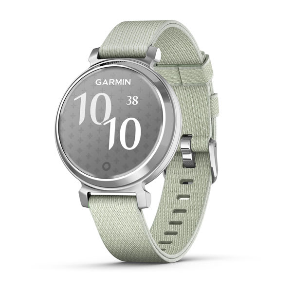
Lily® 2 Classic
$469.00 Add to cartOverview
STYLISH PATTERNED LENS REVEALS A BRIGHT TOUCHSCREEN DISPLAY
BUILT-IN GPS, FITNESS TRACKING AND SPORTS APPS
UP TO 9 DAYS OF BATTERY LIFE
SMALL, FASHIONABLE SMARTWATCH WITH A METAL CASE AND TWO BUTTONS
SHOW US WHAT YOU’VE GOT. TAG @GARMIN ON INSTAGRAM.
SMALL, STYLISH DESIGN
Perfect for any look, this smartwatch features a metal watch case, two buttons and a beautiful patterned lens. Plus, with a quick tap or wrist turn, the Lily 2 Active smartwatch reveals a bright display.
BUILT-IN GPS
No matter where your workout takes you, accurately track your outdoor activities, including walks, runs and more — without compromising style.
BODY BATTERY™ ENERGY MONITORING
SLEEP SCORE
FITNESS TRACKING AND SPORTS APPS
GARMIN PAY™ CONTACTLESS PAYMENTS
HEALTH
WRIST-BASED HEART RATE
HRV STATUS
LIFESTYLE LOGGING
Log behaviours — such as caffeine and alcohol intake — and view reports on how they impact your health in the Garmin Connect™ app.
MORNING REPORT
Receive and customise an overview of your sleep, daily calendar, weather and more as soon as you wake up.
WOMEN’S HEALTH TRACKING
HEALTH SNAPSHOT
STRESS TRACKING
MEDITATION
Help reduce stress, anxiety and more with meditation practices.
MINDFUL BREATHING
PULSE OX SENSOR
RESPIRATION
HYDRATION
NAP DETECTION
BREATHING VARIATIONS
FITNESS
DANCE FITNESS ACTIVITY
MOVE ALERTS
Get reminders to move your body, including a variety of movement options.
INTENSITY MINUTES
FITNESS AGE
ON-SCREEN WORKOUTS
Download and follow on-screen workouts for strength, HIIT, yoga and more.
GARMIN COACH
CONNECTIVITY
SMART NOTIFICATIONS
Receive emails, texts and alerts on your fitness watch when paired with your iPhone or Android smartphone.
SAFETY AND TRACKING
GARMIN CONNECT™ APP
CALENDAR VIEW
-
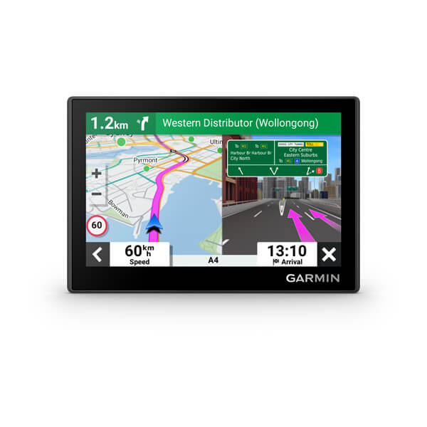
Garmin Drive™ 53 & Traffic, EU
$289.00 Add to cart<p> <a href="https://www.garmin.com/en-AU/c/automotive/car-gps-navigation/">Click here to check out our newest products</a> </p>
Overview
SIMPLIFY YOUR DRIVE
Enjoy peace of mind with the 5.5-inch Garmin DriveSmart 55 MT-S GPS sat nav. Live Traffic and map updates are included along with driver alerts to encourage safer driving.
Be road-trip ready with a big, bright 5.5″ display and easy-to-see maps.
Talk to me. Enjoy convenient Garmin voice assist for directions and hands-free calling.
Make all the right moves with clear, detailed map updates of Europe.
Welcome to smarter driving.
VOICE ASSIST
Need directions? Just say the word. DriveSmart 55 MT-S responds to your spoken requests and then navigates to wherever you need to go.
WIRELESS UPDATES
LIVE TRAFFIC AND WEATHER
HANDS-FREE CALLING
Smart notifications
Just look ahead and drive.
TRIPADVISOR
View Tripadvisor traveller ratings for hotels, restaurants and attractions along your route or near your destination.
GARMIN REAL DIRECTIONS™
Easy-to-understand, spoken turn-by-turn directions guide like a friend, using street names, store names and recognisable landmarks.
DRIVER ALERTS
To encourage safer driving and increase situational awareness, driver alerts warn you of upcoming sharp curves, speed changes, railway crossings and more.
FIND PLACES BY NAME
CHECK UP AHEAD
A useful Up Ahead feature shows upcoming stops for food, fuel and other milestones — such as upcoming cities — along your route.
MAP COVERAGE
Drive confidently with the latest map updates and preloaded street maps for Europe.
WANT MORE?
-
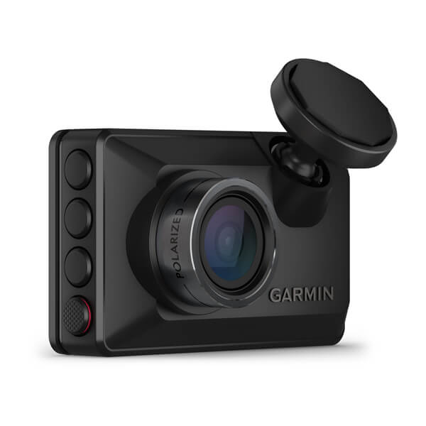
Garmin Dash Cam™ X210
$499.00 Add to cartOverview
RECORDS 1080p HD VIDEO WITH A 140-DEGREE FIELD OF VIEW
COMPACT SIZE WITH EASY-TO-VIEW 2.4″ BRIGHT DISPLAY
BUILT-IN GARMIN CLARITY™ POLARISER REDUCES WINDSHIELD GLARE
CONTROL THE DASH CAM WITH YOUR VOICE
EASILY SHARE SAVED VIDEO CLIPS FROM THE VAULT BY USING THE GARMIN DRIVE™ SMARTPHONE APP (SUBSCRIPTION REQUIRED)
CRISP HD VIDEO
With 1080p HD video, a 140-degree lens and Garmin Clarity HDR optics, you'll be able to record crisp video of important details, day and night.
BRIGHT DISPLAY
This pocket-sized dash cam features a clear 2.4″ LCD display for immediate video review.
AUTOMATIC INCIDENT DETECTION
Once plugged into your vehicle's power source, the camera continually records and saves video with GPS location, date and time, so you can just set it and forget it.
GARMIN CLARITY POLARISER
See important details more clearly, and reduce windshield glare — thanks to the built-in Garmin Clarity polariser lens enhancement.
VIEW AND SHARE VIDEOS
VOICE CONTROL
Keep your hands on the wheel by using voice commands to tell the camera to save video and start/stop audio recording. This feature is available in English, German, French, Spanish, Italian and Swedish.
WITHOUT BUILT-IN GARMIN CLARITY POLARISER
WITH BUILT-IN GARMIN CLARITY POLARISER
THE POLARISER DIFFERENCE
This image comparison was captured simultaneously with the same video resolution, but only one dash cam features the Garmin Clarity polariser to significantly increase clarity. Images may not reflect exact picture resolution and pixel quality.
Parking guard
LIVE VIEW
″GO″ ALERTS
This feature notifies you when stopped traffic in front of you has started to move.
FORWARD COLLISION WARNINGS
LANE DEPARTURE WARNINGS
RED LIGHT AND SPEED CAMERAS
Get notifications for nearby red light cameras and speed cameras (not available in all regions).
DASH CAM VIDEO SYNC
DURABLE BY DESIGN
This dash cam withstands harsh vehicle environments, including direct sunlight and heat.
TRAVELAPSE™ TRIP HIGHLIGHTS
Share your drive with friends, and easily condense hours of driving footage into minutes of highlights for a fun, creative video.
EXTRA USB PORT
The included charger has an extra USB port, so you can power your dash camera, phone or even your navigation device.
MEMORY CARD REQUIRED
Constant Power Cable
TIDY INSTALL
The compact device easily mounts inside your vehicle. It is powered by a slim cable, which features two routing options — upward or downward — for a tidy and discreet installation.
Access power with the Constant Power Cable.
Connect devices for a better drive with the Garmin Drive™ app
-
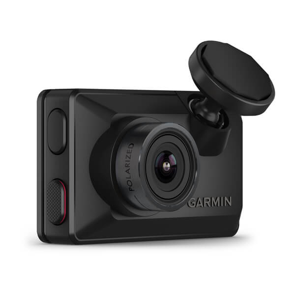
Garmin Dash Cam™ X310
$679.00 Add to cartOverview
RECORDS 1080p HD VIDEO WITH A 140-DEGREE FIELD OF VIEW
COMPACT SIZE WITH EASY-TO-VIEW 2.4″ BRIGHT DISPLAY
BUILT-IN GARMIN CLARITY™ POLARISER REDUCES WINDSHIELD GLARE
CONTROL THE DASH CAM WITH YOUR VOICE
EASILY SHARE SAVED VIDEO CLIPS FROM THE VAULT BY USING THE GARMIN DRIVE™ SMARTPHONE APP (SUBSCRIPTION REQUIRED)
CRISP HD VIDEO
With 1080p HD video, a 140-degree lens and Garmin Clarity HDR optics, you'll be able to record crisp video of important details, day and night.
BRIGHT DISPLAY
This pocket-sized dash cam features a clear 2.4″ LCD display for immediate video review.
AUTOMATIC INCIDENT DETECTION
Once plugged into your vehicle's power source, the camera continually records and saves video with GPS location, date and time, so you can just set it and forget it.
GARMIN CLARITY POLARISER
See important details more clearly, and reduce windshield glare — thanks to the built-in Garmin Clarity polariser lens enhancement.
VIEW AND SHARE VIDEOS
VOICE CONTROL
Keep your hands on the wheel by using voice commands to tell the camera to save video and start/stop audio recording. This feature is available in English, German, French, Spanish, Italian and Swedish.
WITHOUT BUILT-IN GARMIN CLARITY POLARISER
WITH BUILT-IN GARMIN CLARITY POLARISER
THE POLARISER DIFFERENCE
This image comparison was captured simultaneously with the same video resolution, but only one dash cam features the Garmin Clarity polariser to significantly increase clarity. Images may not reflect exact picture resolution and pixel quality.
Parking guard
LIVE VIEW
″GO″ ALERTS
This feature notifies you when stopped traffic in front of you has started to move.
FORWARD COLLISION WARNINGS
LANE DEPARTURE WARNINGS
RED LIGHT AND SPEED CAMERAS
Get notifications for nearby red light cameras and speed cameras (not available in all regions).
DASH CAM VIDEO SYNC
DURABLE BY DESIGN
This dash cam withstands harsh vehicle environments, including direct sunlight and heat.
TRAVELAPSE™ TRIP HIGHLIGHTS
Share your drive with friends, and easily condense hours of driving footage into minutes of highlights for a fun, creative video.
EXTRA USB PORT
The included charger has an extra USB port, so you can power your dash camera, phone or even your navigation device.
MEMORY CARD REQUIRED
Constant Power Cable
TIDY INSTALL
The compact device easily mounts inside your vehicle. It is powered by a slim cable, which features two routing options — upward or downward — for a tidy and discreet installation.
Access power with the Constant Power Cable.
Connect devices for a better drive with the Garmin Drive™ app
-

vívoactive® 5
$499.00 Add to cartOverview
VÍVOACTIVE® 5
KNOW THE REAL YOU
Purpose-built with advanced health and fitness features, vívoactive® 5 is more than just a smartwatch — it’s your personal on-wrist coach there to support your every goal.
BRIGHT 1.2″ AMOLED TOUCHSCREEN DISPLAY
UP TO 11 DAYS OF BATTERY LIFE IN SMARTWATCH MODE
DETAILED HEALTH AND WELLNESS INSIGHTS
ADVANCED FITNESS FEATURES
CONNECTED FEATURES LIKE MUSIC AND GARMIN PAY™ CONTACTLESS PAYMENTS
SHOW US WHAT YOU’VE GOT. TAG @GARMIN ON INSTAGRAM.
BODY BATTERY™ ENERGY MONITORING
SLEEP COACH
BUILT-IN SPORTS APPS
Track all the ways you move with more than 30 preloaded GPS and indoor sports apps — including walking, running, cycling, pool swimming, activities for wheelchair users and more.
WORKOUT BENEFIT AND RECOVERY TIME
Better understand how each workout affects your body and how much time you need to recover so you can take on any fitness challenge.
MORNING REPORT
Receive an overview of your sleep, recovery, daily calendar, HRV status and more as soon as you wake up. You can even customise your report to show what you want to see.
SMART NOTIFICATIONS AND TEXTING
Receive emails, texts and alerts on your watch when paired with your iPhone or Android smartphone. With an Android phone, respond to texts with the on-watch keyboard, and view photos sent to you directly from your watch’s screen.
HEALTH
Nap detection
BREATHING VARIATIONS
HRV STATUS
WRIST-BASED HEART RATE
STRESS TRACKING
WOMEN'S HEALTH TRACKING
Health Snapshot
pulse ox sensor
MEDITATION
Help reduce stress, anxiety and more with guided meditation practices.
MINDFUL BREATHING
Hydration
Respiration
FITNESS
WHEELCHAIR MODE
GARMIN COACH
FITNESS AGE
WORKOUT CREATION
Create step-by-step workouts from more than 1,600 exercises in the Garmin Connect app, and send them directly to your fitness watch.
AUDIO PROMPTS FOR ACTIVITIES
Get guided audio prompts straight from your fitness watch for run and walk activities.
INTERVAL CREATION
Build your own interval workout for running and cycling activities.
PERCEIVED EXERTION
Record your rate of perceived exertion after each workout.
INTENSITY MINUTES
Activity tracking
VO2 MAX
CONNECT
GARMIN CONNECT APP
GARMIN PAY™ CONTACTLESS PAYMENTS
MUSIC
Safety and tracking
VIEW PHOTOS
With an Android phone, view photos sent to you directly from your watch’s screen.
CONNECT IQ™ STORE
TWO FONT SIZES
Choose between a small or larger font size so you can view your data with ease.
-
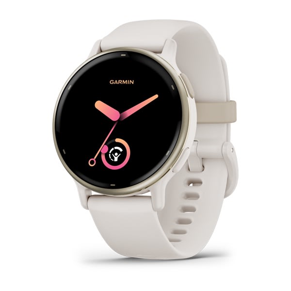
vívoactive® 5
$499.00 Add to cartOverview
VÍVOACTIVE® 5
KNOW THE REAL YOU
Purpose-built with advanced health and fitness features, vívoactive® 5 is more than just a smartwatch — it’s your personal on-wrist coach there to support your every goal.
BRIGHT 1.2″ AMOLED TOUCHSCREEN DISPLAY
UP TO 11 DAYS OF BATTERY LIFE IN SMARTWATCH MODE
DETAILED HEALTH AND WELLNESS INSIGHTS
ADVANCED FITNESS FEATURES
CONNECTED FEATURES LIKE MUSIC AND GARMIN PAY™ CONTACTLESS PAYMENTS
SHOW US WHAT YOU’VE GOT. TAG @GARMIN ON INSTAGRAM.
BODY BATTERY™ ENERGY MONITORING
SLEEP COACH
BUILT-IN SPORTS APPS
Track all the ways you move with more than 30 preloaded GPS and indoor sports apps — including walking, running, cycling, pool swimming, activities for wheelchair users and more.
WORKOUT BENEFIT AND RECOVERY TIME
Better understand how each workout affects your body and how much time you need to recover so you can take on any fitness challenge.
MORNING REPORT
Receive an overview of your sleep, recovery, daily calendar, HRV status and more as soon as you wake up. You can even customise your report to show what you want to see.
SMART NOTIFICATIONS AND TEXTING
Receive emails, texts and alerts on your watch when paired with your iPhone or Android smartphone. With an Android phone, respond to texts with the on-watch keyboard, and view photos sent to you directly from your watch’s screen.
HEALTH
Nap detection
BREATHING VARIATIONS
HRV STATUS
WRIST-BASED HEART RATE
STRESS TRACKING
WOMEN'S HEALTH TRACKING
Health Snapshot
pulse ox sensor
MEDITATION
Help reduce stress, anxiety and more with guided meditation practices.
MINDFUL BREATHING
Hydration
Respiration
FITNESS
WHEELCHAIR MODE
GARMIN COACH
FITNESS AGE
WORKOUT CREATION
Create step-by-step workouts from more than 1,600 exercises in the Garmin Connect app, and send them directly to your fitness watch.
AUDIO PROMPTS FOR ACTIVITIES
Get guided audio prompts straight from your fitness watch for run and walk activities.
INTERVAL CREATION
Build your own interval workout for running and cycling activities.
PERCEIVED EXERTION
Record your rate of perceived exertion after each workout.
INTENSITY MINUTES
Activity tracking
VO2 MAX
CONNECT
GARMIN CONNECT APP
GARMIN PAY™ CONTACTLESS PAYMENTS
MUSIC
Safety and tracking
VIEW PHOTOS
With an Android phone, view photos sent to you directly from your watch’s screen.
CONNECT IQ™ STORE
TWO FONT SIZES
Choose between a small or larger font size so you can view your data with ease.
-
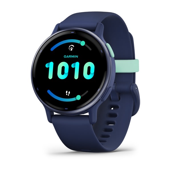
vívoactive® 5
$499.00 Add to cartOverview
VÍVOACTIVE® 5
KNOW THE REAL YOU
Purpose-built with advanced health and fitness features, vívoactive® 5 is more than just a smartwatch — it’s your personal on-wrist coach there to support your every goal.
BRIGHT 1.2″ AMOLED TOUCHSCREEN DISPLAY
UP TO 11 DAYS OF BATTERY LIFE IN SMARTWATCH MODE
DETAILED HEALTH AND WELLNESS INSIGHTS
ADVANCED FITNESS FEATURES
CONNECTED FEATURES LIKE MUSIC AND GARMIN PAY™ CONTACTLESS PAYMENTS
SHOW US WHAT YOU’VE GOT. TAG @GARMIN ON INSTAGRAM.
BODY BATTERY™ ENERGY MONITORING
SLEEP COACH
BUILT-IN SPORTS APPS
Track all the ways you move with more than 30 preloaded GPS and indoor sports apps — including walking, running, cycling, pool swimming, activities for wheelchair users and more.
WORKOUT BENEFIT AND RECOVERY TIME
Better understand how each workout affects your body and how much time you need to recover so you can take on any fitness challenge.
MORNING REPORT
Receive an overview of your sleep, recovery, daily calendar, HRV status and more as soon as you wake up. You can even customise your report to show what you want to see.
SMART NOTIFICATIONS AND TEXTING
Receive emails, texts and alerts on your watch when paired with your iPhone or Android smartphone. With an Android phone, respond to texts with the on-watch keyboard, and view photos sent to you directly from your watch’s screen.
HEALTH
Nap detection
BREATHING VARIATIONS
HRV STATUS
WRIST-BASED HEART RATE
STRESS TRACKING
WOMEN'S HEALTH TRACKING
Health Snapshot
pulse ox sensor
MEDITATION
Help reduce stress, anxiety and more with guided meditation practices.
MINDFUL BREATHING
Hydration
Respiration
FITNESS
WHEELCHAIR MODE
GARMIN COACH
FITNESS AGE
WORKOUT CREATION
Create step-by-step workouts from more than 1,600 exercises in the Garmin Connect app, and send them directly to your fitness watch.
AUDIO PROMPTS FOR ACTIVITIES
Get guided audio prompts straight from your fitness watch for run and walk activities.
INTERVAL CREATION
Build your own interval workout for running and cycling activities.
PERCEIVED EXERTION
Record your rate of perceived exertion after each workout.
INTENSITY MINUTES
Activity tracking
VO2 MAX
CONNECT
GARMIN CONNECT APP
GARMIN PAY™ CONTACTLESS PAYMENTS
MUSIC
Safety and tracking
VIEW PHOTOS
With an Android phone, view photos sent to you directly from your watch’s screen.
CONNECT IQ™ STORE
TWO FONT SIZES
Choose between a small or larger font size so you can view your data with ease.
-
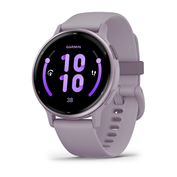
vívoactive® 5
$499.00 Add to cartOverview
VÍVOACTIVE® 5
KNOW THE REAL YOU
Purpose-built with advanced health and fitness features, vívoactive® 5 is more than just a smartwatch — it’s your personal on-wrist coach there to support your every goal.
BRIGHT 1.2″ AMOLED TOUCHSCREEN DISPLAY
UP TO 11 DAYS OF BATTERY LIFE IN SMARTWATCH MODE
DETAILED HEALTH AND WELLNESS INSIGHTS
ADVANCED FITNESS FEATURES
CONNECTED FEATURES LIKE MUSIC AND GARMIN PAY™ CONTACTLESS PAYMENTS
SHOW US WHAT YOU’VE GOT. TAG @GARMIN ON INSTAGRAM.
BODY BATTERY™ ENERGY MONITORING
SLEEP COACH
BUILT-IN SPORTS APPS
Track all the ways you move with more than 30 preloaded GPS and indoor sports apps — including walking, running, cycling, pool swimming, activities for wheelchair users and more.
WORKOUT BENEFIT AND RECOVERY TIME
Better understand how each workout affects your body and how much time you need to recover so you can take on any fitness challenge.
MORNING REPORT
Receive an overview of your sleep, recovery, daily calendar, HRV status and more as soon as you wake up. You can even customise your report to show what you want to see.
SMART NOTIFICATIONS AND TEXTING
Receive emails, texts and alerts on your watch when paired with your iPhone or Android smartphone. With an Android phone, respond to texts with the on-watch keyboard, and view photos sent to you directly from your watch’s screen.
HEALTH
Nap detection
BREATHING VARIATIONS
HRV STATUS
WRIST-BASED HEART RATE
STRESS TRACKING
WOMEN'S HEALTH TRACKING
Health Snapshot
pulse ox sensor
MEDITATION
Help reduce stress, anxiety and more with guided meditation practices.
MINDFUL BREATHING
Hydration
Respiration
FITNESS
WHEELCHAIR MODE
GARMIN COACH
FITNESS AGE
WORKOUT CREATION
Create step-by-step workouts from more than 1,600 exercises in the Garmin Connect app, and send them directly to your fitness watch.
AUDIO PROMPTS FOR ACTIVITIES
Get guided audio prompts straight from your fitness watch for run and walk activities.
INTERVAL CREATION
Build your own interval workout for running and cycling activities.
PERCEIVED EXERTION
Record your rate of perceived exertion after each workout.
INTENSITY MINUTES
Activity tracking
VO2 MAX
CONNECT
GARMIN CONNECT APP
GARMIN PAY™ CONTACTLESS PAYMENTS
MUSIC
Safety and tracking
VIEW PHOTOS
With an Android phone, view photos sent to you directly from your watch’s screen.
CONNECT IQ™ STORE
TWO FONT SIZES
Choose between a small or larger font size so you can view your data with ease.
-
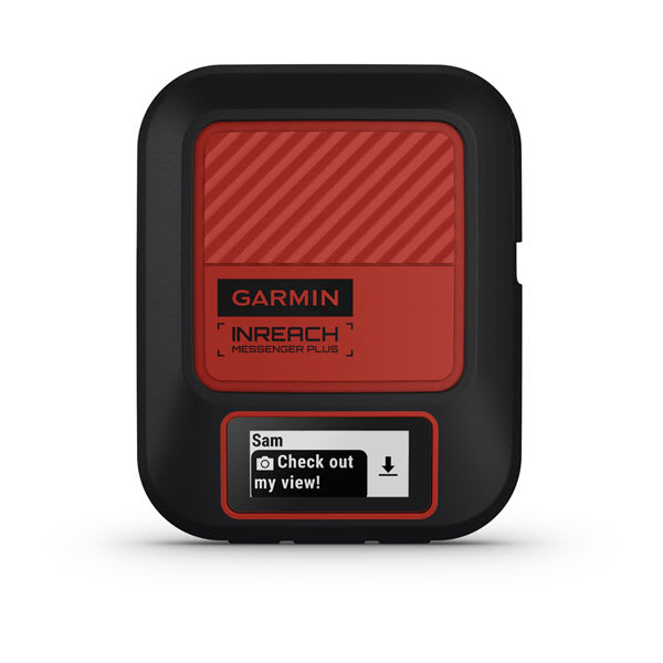
inReach® Messenger Plus
$899.00 Add to cart<p> <a href="https://www.garmin.com/en-AU/p/837461">Learn more about inReach satellite subscription plans</a> </p>
Overview
SAY IT. SHOW IT. SHARE IT.
EXCHANGE TEXTS, PHOTOS AND VOICE MESSAGES WITHOUT MOBILE PHONE SERVICE
PAIR WITH THE GARMIN MESSENGER™ SMARTPHONE APP FOR GROUP MESSAGING AND MORE
TRIGGER AN INTERACTIVE SOS MESSAGE TO GARMIN RESPONSE℠, OUR 24/7-STAFFED INTERNATIONAL COORDINATION CENTRE
USE THE GARMIN EXPLORE™ SMARTPHONE APP TO PLAN YOUR TRIP, TRACK YOUR ACTIVITY AND MORE
USE THE GARMIN EXPLORE™ APP TO SHARE YOUR GPS LOCATION WITH LIVE TRACK
EXCHANGE PHOTOS
EXCHANGE VOICE MESSAGES
Tell them you miss them with a 30-second voice message, no cell coverage needed. This requires pairing with the Garmin Messenger app on your compatible smartphone.
two-way text messaging
Exchange text messages with up to 1,600 characters directly on the device. Connect your compatible smartphone to the Garmin Messenger app, and exchange text messages, send emojis, or start a group chat.
INTERACTIVE SOS
Explore with peace of mind knowing you can send an interactive SOS message with your GPS coordinates to Garmin Response, a 24/7-staffed international coordination centre for help in an emergency. And, instead of relying on tower-based mobile phone coverage, your messages are sent via the 100% global iridium satellite network.
SHOW THEM YOUR ROUTE
Share your GPS location and your route anytime with live tracking. You can also embed your GPS coordinates with your text, photo or voice messages.
GARMIN EXPLORE APP
COMMUNICATE
CHECK-IN MESSAGES
SYNC YOUR CONTACTS
Easily find your contacts with the Garmin Messenger app and your compatible smartphone.
SEAMLESS CONNECTION
GROUP MESSAGING
Use your smartphone and the Garmin Messenger app to send group messages.
CONTROL REMOTELY
ON-DEVICE DISPLAY
Use the screen to confirm that messages have been sent, send messages and read responses, even when your phone battery dies.
GPS ACCURACY
The built-in antenna automatically acquires satellites to update your latitude and longitude positions; no need to point your device directly towards the sky to find satellites.
BUILT FOR THE BACK COUNTRY
RUGGED DESIGN
INREACH WEATHER
TRACBACK ROUTING
Use this feature to navigate back to where you started the same way you came.
SAFETY CHARGING
Dead phone battery? Connect your phone to the device and use the device’s battery to charge it.
BATTERY THAT LASTS
The internal, rechargeable lithium battery gives you up to 25 days of battery life in 10-minute tracking mode.
Activate an inReach® subscription plan.
-

Lily® 2 Active
$499.00 Add to cartOverview
STYLISH PATTERNED LENS REVEALS A BRIGHT TOUCHSCREEN DISPLAY
BUILT-IN GPS, FITNESS TRACKING AND SPORTS APPS
UP TO 9 DAYS OF BATTERY LIFE
SMALL, FASHIONABLE SMARTWATCH WITH A METAL CASE AND TWO BUTTONS
SHOW US WHAT YOU’VE GOT. TAG @GARMIN ON INSTAGRAM.
SMALL, STYLISH DESIGN
Perfect for any look, this smartwatch features a metal watch case, two buttons and a beautiful patterned lens. Plus, with a quick tap or wrist turn, the Lily 2 Active smartwatch reveals a bright display.
BUILT-IN GPS
No matter where your workout takes you, accurately track your outdoor activities, including walks, runs and more — without compromising style.
BODY BATTERY™ ENERGY MONITORING
SLEEP SCORE
FITNESS TRACKING AND SPORTS APPS
GARMIN PAY™ CONTACTLESS PAYMENTS
HEALTH
WRIST-BASED HEART RATE
HRV STATUS
LIFESTYLE LOGGING
Log behaviours — such as caffeine and alcohol intake — and view reports on how they impact your health in the Garmin Connect™ app.
MORNING REPORT
Receive and customise an overview of your sleep, daily calendar, weather and more as soon as you wake up.
WOMEN’S HEALTH TRACKING
HEALTH SNAPSHOT
STRESS TRACKING
MEDITATION
Help reduce stress, anxiety and more with meditation practices.
MINDFUL BREATHING
PULSE OX SENSOR
RESPIRATION
HYDRATION
NAP DETECTION
BREATHING VARIATIONS
FITNESS
DANCE FITNESS ACTIVITY
MOVE ALERTS
Get reminders to move your body, including a variety of movement options.
INTENSITY MINUTES
FITNESS AGE
ON-SCREEN WORKOUTS
Download and follow on-screen workouts for strength, HIIT, yoga and more.
GARMIN COACH
CONNECTIVITY
SMART NOTIFICATIONS
Receive emails, texts and alerts on your fitness watch when paired with your iPhone or Android smartphone.
SAFETY AND TRACKING
GARMIN CONNECT™ APP
CALENDAR VIEW
-

Lily® 2 Active
$499.00 Add to cartOverview
STYLISH PATTERNED LENS REVEALS A BRIGHT TOUCHSCREEN DISPLAY
BUILT-IN GPS, FITNESS TRACKING AND SPORTS APPS
UP TO 9 DAYS OF BATTERY LIFE
SMALL, FASHIONABLE SMARTWATCH WITH A METAL CASE AND TWO BUTTONS
SHOW US WHAT YOU’VE GOT. TAG @GARMIN ON INSTAGRAM.
SMALL, STYLISH DESIGN
Perfect for any look, this smartwatch features a metal watch case, two buttons and a beautiful patterned lens. Plus, with a quick tap or wrist turn, the Lily 2 Active smartwatch reveals a bright display.
BUILT-IN GPS
No matter where your workout takes you, accurately track your outdoor activities, including walks, runs and more — without compromising style.
BODY BATTERY™ ENERGY MONITORING
SLEEP SCORE
FITNESS TRACKING AND SPORTS APPS
GARMIN PAY™ CONTACTLESS PAYMENTS
HEALTH
WRIST-BASED HEART RATE
HRV STATUS
LIFESTYLE LOGGING
Log behaviours — such as caffeine and alcohol intake — and view reports on how they impact your health in the Garmin Connect™ app.
MORNING REPORT
Receive and customise an overview of your sleep, daily calendar, weather and more as soon as you wake up.
WOMEN’S HEALTH TRACKING
HEALTH SNAPSHOT
STRESS TRACKING
MEDITATION
Help reduce stress, anxiety and more with meditation practices.
MINDFUL BREATHING
PULSE OX SENSOR
RESPIRATION
HYDRATION
NAP DETECTION
BREATHING VARIATIONS
FITNESS
DANCE FITNESS ACTIVITY
MOVE ALERTS
Get reminders to move your body, including a variety of movement options.
INTENSITY MINUTES
FITNESS AGE
ON-SCREEN WORKOUTS
Download and follow on-screen workouts for strength, HIIT, yoga and more.
GARMIN COACH
CONNECTIVITY
SMART NOTIFICATIONS
Receive emails, texts and alerts on your fitness watch when paired with your iPhone or Android smartphone.
SAFETY AND TRACKING
GARMIN CONNECT™ APP
CALENDAR VIEW
-
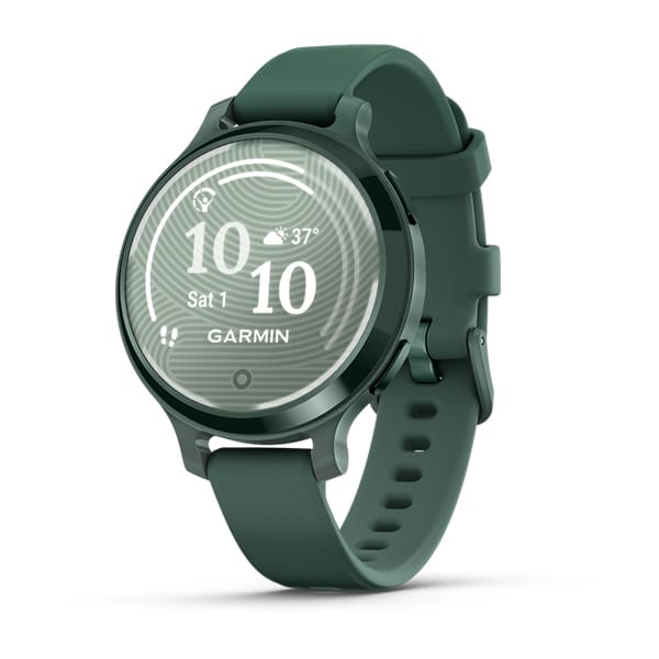
Lily® 2 Active
$499.00 Add to cartOverview
STYLISH PATTERNED LENS REVEALS A BRIGHT TOUCHSCREEN DISPLAY
BUILT-IN GPS, FITNESS TRACKING AND SPORTS APPS
UP TO 9 DAYS OF BATTERY LIFE
SMALL, FASHIONABLE SMARTWATCH WITH A METAL CASE AND TWO BUTTONS
SHOW US WHAT YOU’VE GOT. TAG @GARMIN ON INSTAGRAM.
SMALL, STYLISH DESIGN
Perfect for any look, this smartwatch features a metal watch case, two buttons and a beautiful patterned lens. Plus, with a quick tap or wrist turn, the Lily 2 Active smartwatch reveals a bright display.
BUILT-IN GPS
No matter where your workout takes you, accurately track your outdoor activities, including walks, runs and more — without compromising style.
BODY BATTERY™ ENERGY MONITORING
SLEEP SCORE
FITNESS TRACKING AND SPORTS APPS
GARMIN PAY™ CONTACTLESS PAYMENTS
HEALTH
WRIST-BASED HEART RATE
HRV STATUS
LIFESTYLE LOGGING
Log behaviours — such as caffeine and alcohol intake — and view reports on how they impact your health in the Garmin Connect™ app.
MORNING REPORT
Receive and customise an overview of your sleep, daily calendar, weather and more as soon as you wake up.
WOMEN’S HEALTH TRACKING
HEALTH SNAPSHOT
STRESS TRACKING
MEDITATION
Help reduce stress, anxiety and more with meditation practices.
MINDFUL BREATHING
PULSE OX SENSOR
RESPIRATION
HYDRATION
NAP DETECTION
BREATHING VARIATIONS
FITNESS
DANCE FITNESS ACTIVITY
MOVE ALERTS
Get reminders to move your body, including a variety of movement options.
INTENSITY MINUTES
FITNESS AGE
ON-SCREEN WORKOUTS
Download and follow on-screen workouts for strength, HIIT, yoga and more.
GARMIN COACH
CONNECTIVITY
SMART NOTIFICATIONS
Receive emails, texts and alerts on your fitness watch when paired with your iPhone or Android smartphone.
SAFETY AND TRACKING
GARMIN CONNECT™ APP
CALENDAR VIEW
-
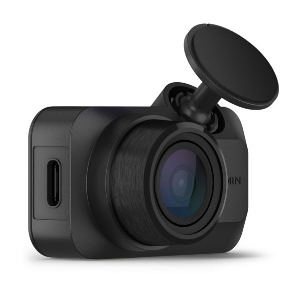
Garmin Dash Cam™ Mini 3
$249.00 Add to cartOverview
RECORDS 1080p HD VIDEO WITH A 140-DEGREE FIELD OF VIEW
COMPACT SIZE WITH EASY-TO-VIEW 2.4″ BRIGHT DISPLAY
BUILT-IN GARMIN CLARITY™ POLARISER REDUCES WINDSHIELD GLARE
CONTROL THE DASH CAM WITH YOUR VOICE
EASILY SHARE SAVED VIDEO CLIPS FROM THE VAULT BY USING THE GARMIN DRIVE™ SMARTPHONE APP (SUBSCRIPTION REQUIRED)
CRISP HD VIDEO
With 1080p HD video, a 140-degree lens and Garmin Clarity HDR optics, you'll be able to record crisp video of important details, day and night.
BRIGHT DISPLAY
This pocket-sized dash cam features a clear 2.4″ LCD display for immediate video review.
AUTOMATIC INCIDENT DETECTION
Once plugged into your vehicle's power source, the camera continually records and saves video with GPS location, date and time, so you can just set it and forget it.
GARMIN CLARITY POLARISER
See important details more clearly, and reduce windshield glare — thanks to the built-in Garmin Clarity polariser lens enhancement.
VIEW AND SHARE VIDEOS
VOICE CONTROL
Keep your hands on the wheel by using voice commands to tell the camera to save video and start/stop audio recording. This feature is available in English, German, French, Spanish, Italian and Swedish.
WITHOUT BUILT-IN GARMIN CLARITY POLARISER
WITH BUILT-IN GARMIN CLARITY POLARISER
THE POLARISER DIFFERENCE
This image comparison was captured simultaneously with the same video resolution, but only one dash cam features the Garmin Clarity polariser to significantly increase clarity. Images may not reflect exact picture resolution and pixel quality.
Parking guard
LIVE VIEW
″GO″ ALERTS
This feature notifies you when stopped traffic in front of you has started to move.
FORWARD COLLISION WARNINGS
LANE DEPARTURE WARNINGS
RED LIGHT AND SPEED CAMERAS
Get notifications for nearby red light cameras and speed cameras (not available in all regions).
DASH CAM VIDEO SYNC
DURABLE BY DESIGN
This dash cam withstands harsh vehicle environments, including direct sunlight and heat.
TRAVELAPSE™ TRIP HIGHLIGHTS
Share your drive with friends, and easily condense hours of driving footage into minutes of highlights for a fun, creative video.
EXTRA USB PORT
The included charger has an extra USB port, so you can power your dash camera, phone or even your navigation device.
MEMORY CARD REQUIRED
Constant Power Cable
TIDY INSTALL
The compact device easily mounts inside your vehicle. It is powered by a slim cable, which features two routing options — upward or downward — for a tidy and discreet installation.
Access power with the Constant Power Cable.
Connect devices for a better drive with the Garmin Drive™ app
-
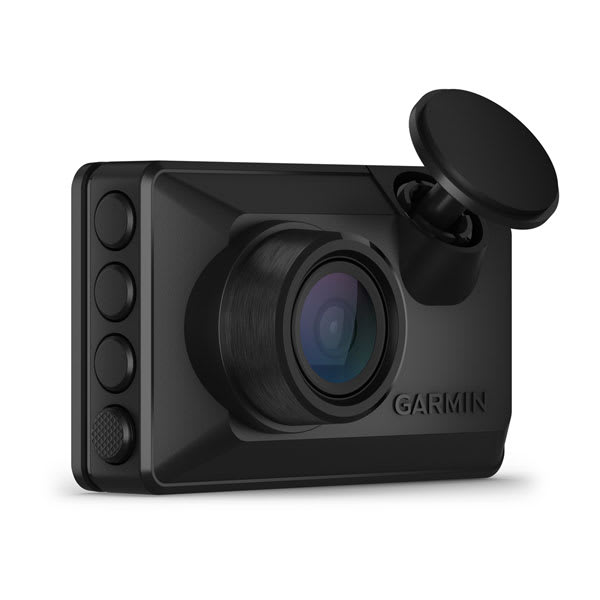
Garmin Dash Cam™ X110
$349.00 Add to cartOverview
RECORDS 1080p HD VIDEO WITH A 140-DEGREE FIELD OF VIEW
COMPACT SIZE WITH EASY-TO-VIEW 2.4″ BRIGHT DISPLAY
BUILT-IN GARMIN CLARITY™ POLARISER REDUCES WINDSHIELD GLARE
CONTROL THE DASH CAM WITH YOUR VOICE
EASILY SHARE SAVED VIDEO CLIPS FROM THE VAULT BY USING THE GARMIN DRIVE™ SMARTPHONE APP (SUBSCRIPTION REQUIRED)
CRISP HD VIDEO
With 1080p HD video, a 140-degree lens and Garmin Clarity HDR optics, you'll be able to record crisp video of important details, day and night.
BRIGHT DISPLAY
This pocket-sized dash cam features a clear 2.4″ LCD display for immediate video review.
AUTOMATIC INCIDENT DETECTION
Once plugged into your vehicle's power source, the camera continually records and saves video with GPS location, date and time, so you can just set it and forget it.
GARMIN CLARITY POLARISER
See important details more clearly, and reduce windshield glare — thanks to the built-in Garmin Clarity polariser lens enhancement.
VIEW AND SHARE VIDEOS
VOICE CONTROL
Keep your hands on the wheel by using voice commands to tell the camera to save video and start/stop audio recording. This feature is available in English, German, French, Spanish, Italian and Swedish.
WITHOUT BUILT-IN GARMIN CLARITY POLARISER
WITH BUILT-IN GARMIN CLARITY POLARISER
THE POLARISER DIFFERENCE
This image comparison was captured simultaneously with the same video resolution, but only one dash cam features the Garmin Clarity polariser to significantly increase clarity. Images may not reflect exact picture resolution and pixel quality.
Parking guard
LIVE VIEW
″GO″ ALERTS
This feature notifies you when stopped traffic in front of you has started to move.
FORWARD COLLISION WARNINGS
LANE DEPARTURE WARNINGS
RED LIGHT AND SPEED CAMERAS
Get notifications for nearby red light cameras and speed cameras (not available in all regions).
DASH CAM VIDEO SYNC
DURABLE BY DESIGN
This dash cam withstands harsh vehicle environments, including direct sunlight and heat.
TRAVELAPSE™ TRIP HIGHLIGHTS
Share your drive with friends, and easily condense hours of driving footage into minutes of highlights for a fun, creative video.
EXTRA USB PORT
The included charger has an extra USB port, so you can power your dash camera, phone or even your navigation device.
MEMORY CARD REQUIRED
Constant Power Cable
TIDY INSTALL
The compact device easily mounts inside your vehicle. It is powered by a slim cable, which features two routing options — upward or downward — for a tidy and discreet installation.
Access power with the Constant Power Cable.
Connect devices for a better drive with the Garmin Drive™ app
-
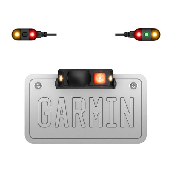
zūmo™ R1 Radar
$1099.00 Add to cartOverview
RIDE AND SEE
Radar and indicator lights offer excellent range, accuracy and situational awareness.
Side- and rear-facing external lights increase the visibility of your motorcycle.
Heads-up indicator lights provide awareness of vehicles around you.
The small design discreetly mounts above or below your license plate.
Audio alerts inform you of nearby vehicles (when paired with your headset via the zūmo™ Radar smartphone app).
View a full-screen radar display when paired with your compatible smartphone or a zūmo® XT2 motorcycle sat nav.
RADAR COVERAGE
EXTERNAL LIGHTS
Side-facing amber lights and the optional rear-facing red light enhance your motorcycle’s visibility to other vehicles to help foster a safer riding environment.
ENHANCED AWARENESS
Heads-up indicator lights can increase your awareness of other vehicles in your blind spots or behind you as you ride.
STEALTH DESIGN
The rugged, small and sleek design mounts discreetly to your motorcycle’s license plate while blending into the bike.
AUDIO ALERTS
RADAR DISPLAY
zūmo R1 Radar can pair with your compatible smartphone or your zūmo® XT2 navigation device to see a full-screen radar display of vehicles around you.
BUILT TOUGH
TIDY INSTALL
Once installed, zūmo R1 Radar will power on and off with the motorcycle’s ignition — no batteries or charging required.
-

GPSMAP® H1
$1149.01 Add to cart<p> <a href="https://www.garmin.com/en-AU/p/837461">Learn more about inReach satellite subscription plans</a> </p>
Overview
WHEN ADVENTURE CALLS, RESPOND
This rugged GPS handheld has a modern design, preloaded maps and incredible battery life. It’s time to hit the trails.
HYBRID DESIGN OFFERS A 3.5″ COLOUR TOUCHSCREEN AND PHYSICAL BUTTONS
PRELOADED TOPOACTIVE MAPS, HIGH-RESOLUTION SATELLITE IMAGERY AND OPTIONAL OUTDOOR MAPS+ CONTENT
LONG BATTERY LIFE OFFERS UP TO 145 HOURS IN GPS MODE
MULTI-BAND GPS AND MULTI-GNSS SUPPORT HELPS PINPOINT YOUR PRECISE LOCATION
MEETS MIL-STD 810 AND IP67 WATER RATING TO WITHSTAND WATER AND EXTREME TEMPERATURES
SHOW US WHAT YOU’VE GOT. TAG @GARMIN ON INSTAGRAM.
Touchscreen Display
The bright, sunlight-readable 3.5″ colour touchscreen has chemically strengthened glass to resist scratches. It is glove-friendly, easy to see and easy to use. Tap, zoom and swipe on the maps to follow your route.
PHYSICAL BUTTONS
The rugged hybrid design also features intuitive push buttons for more versatility when operating in weather and while wearing gloves. The quick-action button lets users customise functions to their specific needs.
Advanced Navigation
Navigate with preloaded TopoActive maps for Australia and New-Zealand — and easy-to-access global maps. See terrain contours, elevations, geographical points and more.
SATELLITE IMAGERY
OUTDOOR MAPS+
LOCATION ACCURACY
Get multi-band GPS and multi-GNSS support for superior positional accuracy.
EVOLVED DESIGN
HELPFUL TOOLS
Use the built-in bright LED flashlight torch as a beacon or to light your way when the path goes dark. A loud built-in siren can help draw attention if you are in need.
BATTERY LIFE
Long-lasting battery life allows for up to 145 hours in GPS mode.
RUGGED DESIGN
ON THE GO
This device has an integrated Spine Mount 2 and includes a removable loop with carabiner clip for more versatility on your adventure. It’s also compatible with additional Spine Mount 2 accessories, sold separately.
GARMIN WEATHER
ABC SENSORS
Get a built-in altimeter for elevation data, a barometer to monitor weather and a 3-axis electronic compass to provide direction.
LIVETRACK™ SHARING
PLAN YOUR TRIPS
Enjoy seamless trip planning with the ability to easily locate geographic points, share your route and more. This requires an active Wi-Fi connection or cellular connection with use of the Garmin Explore app on your compatible smartphone.
-
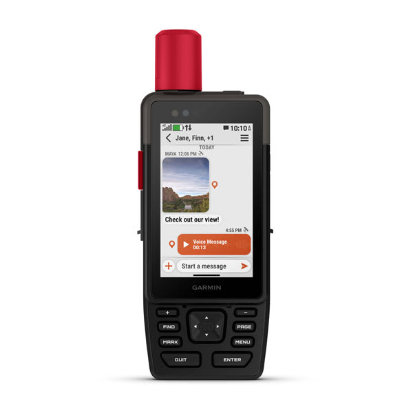
GPSMAP® H1i Plus
$1749.00 Add to cart<p> <a href="https://www.garmin.com/en-AU/p/837461">Learn more about inReach satellite subscription plans</a> </p>
Overview
WHEN ADVENTURE CALLS, RESPOND
This rugged GPS handheld has a modern design, preloaded maps and incredible battery life. It’s time to hit the trails.
HYBRID DESIGN OFFERS A 3.5″ COLOUR TOUCHSCREEN AND PHYSICAL BUTTONS
PRELOADED TOPOACTIVE MAPS, HIGH-RESOLUTION SATELLITE IMAGERY AND OPTIONAL OUTDOOR MAPS+ CONTENT
LONG BATTERY LIFE OFFERS UP TO 145 HOURS IN GPS MODE
MULTI-BAND GPS AND MULTI-GNSS SUPPORT HELPS PINPOINT YOUR PRECISE LOCATION
MEETS MIL-STD 810 AND IP67 WATER RATING TO WITHSTAND WATER AND EXTREME TEMPERATURES
SHOW US WHAT YOU’VE GOT. TAG @GARMIN ON INSTAGRAM.
Touchscreen Display
The bright, sunlight-readable 3.5″ colour touchscreen has chemically strengthened glass to resist scratches. It is glove-friendly, easy to see and easy to use. Tap, zoom and swipe on the maps to follow your route.
PHYSICAL BUTTONS
The rugged hybrid design also features intuitive push buttons for more versatility when operating in weather and while wearing gloves. The quick-action button lets users customise functions to their specific needs.
Advanced Navigation
Navigate with preloaded TopoActive maps for Australia and New-Zealand — and easy-to-access global maps. See terrain contours, elevations, geographical points and more.
SATELLITE IMAGERY
OUTDOOR MAPS+
LOCATION ACCURACY
Get multi-band GPS and multi-GNSS support for superior positional accuracy.
EVOLVED DESIGN
HELPFUL TOOLS
Use the built-in bright LED flashlight torch as a beacon or to light your way when the path goes dark. A loud built-in siren can help draw attention if you are in need.
BATTERY LIFE
Long-lasting battery life allows for up to 145 hours in GPS mode.
RUGGED DESIGN
ON THE GO
This device has an integrated Spine Mount 2 and includes a removable loop with carabiner clip for more versatility on your adventure. It’s also compatible with additional Spine Mount 2 accessories, sold separately.
GARMIN WEATHER
ABC SENSORS
Get a built-in altimeter for elevation data, a barometer to monitor weather and a 3-axis electronic compass to provide direction.
LIVETRACK™ SHARING
PLAN YOUR TRIPS
Enjoy seamless trip planning with the ability to easily locate geographic points, share your route and more. This requires an active Wi-Fi connection or cellular connection with use of the Garmin Explore app on your compatible smartphone.
-
Blaze™ Equine Wellness System
$999.00 Add to cartOverview
REAL-TIME HEALTH DATA JUST GOT REAL
This easy-to-use tail wrap and sensor gives you insights into your horse’s health and fitness, so you can make more informed decisions about their well-being and training.
DURABLE, CONVENIENT WRAP DESIGN
VIEW REAL-TIME STATS WITH YOUR SMARTPHONE OR GARMIN SMARTWATCH
TRACK TRAINING, RECOVERY AND TRANSPORT ACTIVITIES
REVIEW POST-ACTIVITY HIGHLIGHTS
GET UP TO 25 HOURS OF BATTERY LIFE
SHOW US WHAT YOU’VE GOT. TAG @GARMIN ON INSTAGRAM.
DESIGNED FOR HORSES
The Blaze equine wellness system includes a durable and washable neoprene wrap with hook-and-loop straps and a removable, lightweight and power-efficient sensor.
SEE REAL-TIME STATS
WRAP AND USE
The easy-to-attach tail wrap holds the sensor to the underside of your horse’s tail to gather health and fitness metrics without special skin preparation.
ADVANCED SENSOR
The equine optical heart rate monitor provides data under motion and environmental conditions.
POST-ACTIVITY INSIGHTS
Review post-activity details on the Blaze mobile app, including recovery rate, time in heart rate zones, skin temperature, activity highlights and more.
DATA AT YOUR WRIST
Use the Blaze app on your compatible Garmin smartwatch to track specific activities, including training, recovery and transport (requires a connection with BLUETOOTH technology).
TRAINING FEATURES
TRACK MULTIPLE HORSES
Use the wrap and sensor on multiple horses, and create individual profiles in the Blaze app.
SKIN TEMPERATURE CHANGES
After a few minutes of use, you can see how your horse’s average skin temperature changes, which can be related to activity, environment, potential illness and more.
HEAT SCORE
Heat score is the combined total of the current air temperature and humidity. Based on that total, the heat score will guide you on the safety of riding at that time.
VIEW YOUR ACTIVITIES
See a GPS location summary after your training or transport activities when paired with your Garmin smartwatch or smartphone.
BATTERY LIFE
Get long battery life of up to 25 hours between charges. Easily remove the sensor from the wrap for cleaning and charging.
-

dēzl™ OTR620/LGV620
$599.01 Add to cartOverview
TRUCKER-TRUSTED NAVIGATION
CRISP, HIGH-RESOLUTION 8″ TOUCHSCREEN; VIEW IN PORTRAIT OR LANDSCAPE MODE
EXPERT ARRIVAL PLANNING WITH HIGH-RESOLUTION AERIAL VIEWS
VIEW RATINGS FROM OTHER DRIVERS IN THE DĒZL COMMUNITY
VIEW POPULAR ROUTES USED BY FELLOW TRUCKERS
BIG, EASY-TO-READ DISPLAY
An extra-large 8″ touchscreen provides a crisp high-resolution display for easy readability while driving. Select landscape or portrait view to suit your in-cab setup.
CUSTOM TRUCK ROUTING
EXPERT ARRIVAL PLANNING
DĒZL COMMUNITY RATINGS
WIND SPEED ALERTS
TRAVEL INFORMED
NAVIGATION FEATURES
POPULAR PATHS
See popular truck paths used by other truckers for better situational awareness in unfamiliar areas.
SEE IT ALL ON ONE SCREEN
Watch incoming weather conditions without leaving your active map screen with the dual split-screen view.
EASY BREAK PLANNING
Receive timely notifications that help make the most of each stop.
DRIVER ALERTS
Get driver alerts to warn of upcoming sharp curves, steep grades, speed changes, railroad crossings and more.
MAP COVERAGE
Drive confidently with map updates and detailed street maps of Australia and New Zealand.
VOICE ASSIST
Need directions? Speak commands to control the dēzl sat nav while your hands stay on the wheel. (Voice Assist is available in English, French, German, Italian, Spanish, Danish, Swedish, Dutch).
CONNECTED FEATURES
WIRELESS UPDATES
TRAFFIC, WEATHER AND FUEL PRICES
HANDS-FREE CALLING
Smart notifications
When paired with the dēzl smartphone app, see text messages and other notifications displayed on your sat nav’s screen.
ADD A BACKUP CAMERA
Simplify your drive using the dēzl trucking app.
-
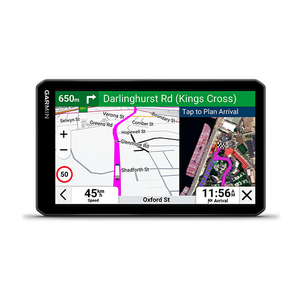
dēzl™ OTR720/LGV720
$749.00 Add to cartOverview
TRUCKER-TRUSTED NAVIGATION
CRISP, HIGH-RESOLUTION 8″ TOUCHSCREEN; VIEW IN PORTRAIT OR LANDSCAPE MODE
EXPERT ARRIVAL PLANNING WITH HIGH-RESOLUTION AERIAL VIEWS
VIEW RATINGS FROM OTHER DRIVERS IN THE DĒZL COMMUNITY
VIEW POPULAR ROUTES USED BY FELLOW TRUCKERS
BIG, EASY-TO-READ DISPLAY
An extra-large 8″ touchscreen provides a crisp high-resolution display for easy readability while driving. Select landscape or portrait view to suit your in-cab setup.
CUSTOM TRUCK ROUTING
EXPERT ARRIVAL PLANNING
DĒZL COMMUNITY RATINGS
WIND SPEED ALERTS
TRAVEL INFORMED
NAVIGATION FEATURES
POPULAR PATHS
See popular truck paths used by other truckers for better situational awareness in unfamiliar areas.
SEE IT ALL ON ONE SCREEN
Watch incoming weather conditions without leaving your active map screen with the dual split-screen view.
EASY BREAK PLANNING
Receive timely notifications that help make the most of each stop.
DRIVER ALERTS
Get driver alerts to warn of upcoming sharp curves, steep grades, speed changes, railroad crossings and more.
MAP COVERAGE
Drive confidently with map updates and detailed street maps of Australia and New Zealand.
VOICE ASSIST
Need directions? Speak commands to control the dēzl sat nav while your hands stay on the wheel. (Voice Assist is available in English, French, German, Italian, Spanish, Danish, Swedish, Dutch).
CONNECTED FEATURES
WIRELESS UPDATES
TRAFFIC, WEATHER AND FUEL PRICES
HANDS-FREE CALLING
Smart notifications
When paired with the dēzl smartphone app, see text messages and other notifications displayed on your sat nav’s screen.
ADD A BACKUP CAMERA
Simplify your drive using the dēzl trucking app.
-

dēzl™ OTR820/LGV820
$1199.00 Add to cartOverview
TRUCKER-TRUSTED NAVIGATION
CRISP, HIGH-RESOLUTION 8″ TOUCHSCREEN; VIEW IN PORTRAIT OR LANDSCAPE MODE
EXPERT ARRIVAL PLANNING WITH HIGH-RESOLUTION AERIAL VIEWS
VIEW RATINGS FROM OTHER DRIVERS IN THE DĒZL COMMUNITY
VIEW POPULAR ROUTES USED BY FELLOW TRUCKERS
BIG, EASY-TO-READ DISPLAY
An extra-large 8″ touchscreen provides a crisp high-resolution display for easy readability while driving. Select landscape or portrait view to suit your in-cab setup.
CUSTOM TRUCK ROUTING
EXPERT ARRIVAL PLANNING
DĒZL COMMUNITY RATINGS
WIND SPEED ALERTS
TRAVEL INFORMED
NAVIGATION FEATURES
POPULAR PATHS
See popular truck paths used by other truckers for better situational awareness in unfamiliar areas.
SEE IT ALL ON ONE SCREEN
Watch incoming weather conditions without leaving your active map screen with the dual split-screen view.
EASY BREAK PLANNING
Receive timely notifications that help make the most of each stop.
DRIVER ALERTS
Get driver alerts to warn of upcoming sharp curves, steep grades, speed changes, railroad crossings and more.
MAP COVERAGE
Drive confidently with map updates and detailed street maps of Australia and New Zealand.
VOICE ASSIST
Need directions? Speak commands to control the dēzl sat nav while your hands stay on the wheel. (Voice Assist is available in English, French, German, Italian, Spanish, Danish, Swedish, Dutch).
CONNECTED FEATURES
WIRELESS UPDATES
TRAFFIC, WEATHER AND FUEL PRICES
HANDS-FREE CALLING
Smart notifications
When paired with the dēzl smartphone app, see text messages and other notifications displayed on your sat nav’s screen.
ADD A BACKUP CAMERA
Simplify your drive using the dēzl trucking app.
-

dēzl™ OTR1020/LGV1020
$1499.00 Add to cartOverview
TRUCKER-TRUSTED NAVIGATION
CRISP, HIGH-RESOLUTION 8″ TOUCHSCREEN; VIEW IN PORTRAIT OR LANDSCAPE MODE
EXPERT ARRIVAL PLANNING WITH HIGH-RESOLUTION AERIAL VIEWS
VIEW RATINGS FROM OTHER DRIVERS IN THE DĒZL COMMUNITY
VIEW POPULAR ROUTES USED BY FELLOW TRUCKERS
BIG, EASY-TO-READ DISPLAY
An extra-large 8″ touchscreen provides a crisp high-resolution display for easy readability while driving. Select landscape or portrait view to suit your in-cab setup.
CUSTOM TRUCK ROUTING
EXPERT ARRIVAL PLANNING
DĒZL COMMUNITY RATINGS
WIND SPEED ALERTS
TRAVEL INFORMED
NAVIGATION FEATURES
POPULAR PATHS
See popular truck paths used by other truckers for better situational awareness in unfamiliar areas.
SEE IT ALL ON ONE SCREEN
Watch incoming weather conditions without leaving your active map screen with the dual split-screen view.
EASY BREAK PLANNING
Receive timely notifications that help make the most of each stop.
DRIVER ALERTS
Get driver alerts to warn of upcoming sharp curves, steep grades, speed changes, railroad crossings and more.
MAP COVERAGE
Drive confidently with map updates and detailed street maps of Australia and New Zealand.
VOICE ASSIST
Need directions? Speak commands to control the dēzl sat nav while your hands stay on the wheel. (Voice Assist is available in English, French, German, Italian, Spanish, Danish, Swedish, Dutch).
CONNECTED FEATURES
WIRELESS UPDATES
TRAFFIC, WEATHER AND FUEL PRICES
HANDS-FREE CALLING
Smart notifications
When paired with the dēzl smartphone app, see text messages and other notifications displayed on your sat nav’s screen.
ADD A BACKUP CAMERA
Simplify your drive using the dēzl trucking app.
-

dēzlCam™ OTR725/LGV725
$999.00 Add to cartOverview
TRUCKER-TRUSTED NAVIGATION
CRISP, HIGH-RESOLUTION 8″ TOUCHSCREEN; VIEW IN PORTRAIT OR LANDSCAPE MODE
EXPERT ARRIVAL PLANNING WITH HIGH-RESOLUTION AERIAL VIEWS
VIEW RATINGS FROM OTHER DRIVERS IN THE DĒZL COMMUNITY
VIEW POPULAR ROUTES USED BY FELLOW TRUCKERS
BIG, EASY-TO-READ DISPLAY
An extra-large 8″ touchscreen provides a crisp high-resolution display for easy readability while driving. Select landscape or portrait view to suit your in-cab setup.
CUSTOM TRUCK ROUTING
EXPERT ARRIVAL PLANNING
DĒZL COMMUNITY RATINGS
WIND SPEED ALERTS
TRAVEL INFORMED
NAVIGATION FEATURES
POPULAR PATHS
See popular truck paths used by other truckers for better situational awareness in unfamiliar areas.
SEE IT ALL ON ONE SCREEN
Watch incoming weather conditions without leaving your active map screen with the dual split-screen view.
EASY BREAK PLANNING
Receive timely notifications that help make the most of each stop.
DRIVER ALERTS
Get driver alerts to warn of upcoming sharp curves, steep grades, speed changes, railroad crossings and more.
MAP COVERAGE
Drive confidently with map updates and detailed street maps of Australia and New Zealand.
VOICE ASSIST
Need directions? Speak commands to control the dēzl sat nav while your hands stay on the wheel. (Voice Assist is available in English, French, German, Italian, Spanish, Danish, Swedish, Dutch).
CONNECTED FEATURES
WIRELESS UPDATES
TRAFFIC, WEATHER AND FUEL PRICES
HANDS-FREE CALLING
Smart notifications
When paired with the dēzl smartphone app, see text messages and other notifications displayed on your sat nav’s screen.
ADD A BACKUP CAMERA
Simplify your drive using the dēzl trucking app.
-
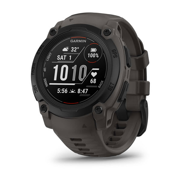
Instinct® E – 40 mm
$549.00 Add to cartOverview
Follow yours
Instinct E is the GPS smartwatch with a rugged design and the essential features you need to take on the day.
RUGGED DESIGN
UP TO 16 DAYS OF BATTERY LIFE IN SMARTWATCH MODE
ESSENTIAL HEALTH AND WELLNESS FEATURES
NAVIGATION FEATURES
BUILT-IN SPORTS APPS
SHOW US WHAT YOU’VE GOT. TAG @GARMIN ON INSTAGRAM.
RUGGED DESIGN
Stand out with a rugged design, including a 45 mm high-strength case and scratch-resistant display.
TESTED FOR TOUGHNESS
ESSENTIAL HEALTH AND WELLNESS MONITORING
SMART NOTIFICATIONS
NAVIGATION FEATURES
Navigate confidently with a 3-axis compass, barometric altimeter and multi-GNSS support.
BUILT-IN SPORTS APPS
Track your activities, including walking, running, cycling, hiking, strength training and more.
HEALTH AND WELLNESS
DAILY MOVEMENTS
HRV STATUS
WRIST-BASED HEART RATE
STRESS TRACKING
MORNING REPORT
Receive an overview of your sleep, recovery, daily calendar, HRV status and more as soon as you wake up. You can even customise your reports theme, data shown and more.
HEALTH SNAPSHOT
PULSE OX SENSOR
MINDFUL BREATHING
RESPIRATION
HYDRATION
FITNESS AGE
SMART WAKE ALARM
Wake up more refreshed. The smart wake alarm gently wakes you at the optimal time.
WOMEN’S HEALTH TRACKING
BREATHING VARIATIONS
LIFESTYLE LOGGING
Log behaviours — such as caffeine and alcohol intake — and view reports on how they impact your health in the Garmin Connect™ app.
NUTRITION IN THE GARMIN CONNECT™ APP
Easily track calories and macronutrients, get personalised nutrition recommendations and see reports to follow your progress toward your goals with a Garmin Connect+ plan.
ACTIVITY TRACKING
GARMIN COACH
WORKOUT CREATION
INTENSITY MINUTES
VO2 MAX
ALTITUDE AND HEAT ACCLIMATION
HIIT WORKOUTS
Track your HIIT workouts, including AMRAP, EMOM, Tabata or custom workouts.
DAILY SUGGESTED WORKOUTS
View your entire week of daily suggested workouts, which adapt after every run or ride.
recovery time
Know how long you should recover before your next high-effort workout based on your latest training.
STAY CONNECTED
Garmin Connect
See your health and fitness information, connect with friends and more — in this free, zero-subscription app.
Garmin Messenger™ App
SMART NOTIFICATIONS
SAFETY AND TRACKING FEATURES
CONNECT IQ™ STORE
LIVETRACK FEATURE
ABC SENSORS
GARMIN SHARE
Use this feature to easily share saved locations, courses and workouts with friends’ compatible Garmin devices.
-
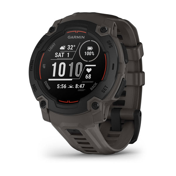
Instinct® E – 45 mm
$549.00 Add to cartOverview
Follow yours
Instinct E is the GPS smartwatch with a rugged design and the essential features you need to take on the day.
RUGGED DESIGN
UP TO 16 DAYS OF BATTERY LIFE IN SMARTWATCH MODE
ESSENTIAL HEALTH AND WELLNESS FEATURES
NAVIGATION FEATURES
BUILT-IN SPORTS APPS
SHOW US WHAT YOU’VE GOT. TAG @GARMIN ON INSTAGRAM.
RUGGED DESIGN
Stand out with a rugged design, including a 45 mm high-strength case and scratch-resistant display.
TESTED FOR TOUGHNESS
ESSENTIAL HEALTH AND WELLNESS MONITORING
SMART NOTIFICATIONS
NAVIGATION FEATURES
Navigate confidently with a 3-axis compass, barometric altimeter and multi-GNSS support.
BUILT-IN SPORTS APPS
Track your activities, including walking, running, cycling, hiking, strength training and more.
HEALTH AND WELLNESS
DAILY MOVEMENTS
HRV STATUS
WRIST-BASED HEART RATE
STRESS TRACKING
MORNING REPORT
Receive an overview of your sleep, recovery, daily calendar, HRV status and more as soon as you wake up. You can even customise your reports theme, data shown and more.
HEALTH SNAPSHOT
PULSE OX SENSOR
MINDFUL BREATHING
RESPIRATION
HYDRATION
FITNESS AGE
SMART WAKE ALARM
Wake up more refreshed. The smart wake alarm gently wakes you at the optimal time.
WOMEN’S HEALTH TRACKING
BREATHING VARIATIONS
LIFESTYLE LOGGING
Log behaviours — such as caffeine and alcohol intake — and view reports on how they impact your health in the Garmin Connect™ app.
NUTRITION IN THE GARMIN CONNECT™ APP
Easily track calories and macronutrients, get personalised nutrition recommendations and see reports to follow your progress toward your goals with a Garmin Connect+ plan.
ACTIVITY TRACKING
GARMIN COACH
WORKOUT CREATION
INTENSITY MINUTES
VO2 MAX
ALTITUDE AND HEAT ACCLIMATION
HIIT WORKOUTS
Track your HIIT workouts, including AMRAP, EMOM, Tabata or custom workouts.
DAILY SUGGESTED WORKOUTS
View your entire week of daily suggested workouts, which adapt after every run or ride.
recovery time
Know how long you should recover before your next high-effort workout based on your latest training.
STAY CONNECTED
Garmin Connect
See your health and fitness information, connect with friends and more — in this free, zero-subscription app.
Garmin Messenger™ App
SMART NOTIFICATIONS
SAFETY AND TRACKING FEATURES
CONNECT IQ™ STORE
LIVETRACK FEATURE
ABC SENSORS
GARMIN SHARE
Use this feature to easily share saved locations, courses and workouts with friends’ compatible Garmin devices.
-

Instinct® 3 – 45 mm, Solar
$729.00 Add to cartOverview
Follow yours
Instinct E is the GPS smartwatch with a rugged design and the essential features you need to take on the day.
RUGGED DESIGN
UP TO 16 DAYS OF BATTERY LIFE IN SMARTWATCH MODE
ESSENTIAL HEALTH AND WELLNESS FEATURES
NAVIGATION FEATURES
BUILT-IN SPORTS APPS
SHOW US WHAT YOU’VE GOT. TAG @GARMIN ON INSTAGRAM.
RUGGED DESIGN
Stand out with a rugged design, including a 45 mm high-strength case and scratch-resistant display.
TESTED FOR TOUGHNESS
ESSENTIAL HEALTH AND WELLNESS MONITORING
SMART NOTIFICATIONS
NAVIGATION FEATURES
Navigate confidently with a 3-axis compass, barometric altimeter and multi-GNSS support.
BUILT-IN SPORTS APPS
Track your activities, including walking, running, cycling, hiking, strength training and more.
HEALTH AND WELLNESS
DAILY MOVEMENTS
HRV STATUS
WRIST-BASED HEART RATE
STRESS TRACKING
MORNING REPORT
Receive an overview of your sleep, recovery, daily calendar, HRV status and more as soon as you wake up. You can even customise your reports theme, data shown and more.
HEALTH SNAPSHOT
PULSE OX SENSOR
MINDFUL BREATHING
RESPIRATION
HYDRATION
FITNESS AGE
SMART WAKE ALARM
Wake up more refreshed. The smart wake alarm gently wakes you at the optimal time.
WOMEN’S HEALTH TRACKING
BREATHING VARIATIONS
LIFESTYLE LOGGING
Log behaviours — such as caffeine and alcohol intake — and view reports on how they impact your health in the Garmin Connect™ app.
NUTRITION IN THE GARMIN CONNECT™ APP
Easily track calories and macronutrients, get personalised nutrition recommendations and see reports to follow your progress toward your goals with a Garmin Connect+ plan.
ACTIVITY TRACKING
GARMIN COACH
WORKOUT CREATION
INTENSITY MINUTES
VO2 MAX
ALTITUDE AND HEAT ACCLIMATION
HIIT WORKOUTS
Track your HIIT workouts, including AMRAP, EMOM, Tabata or custom workouts.
DAILY SUGGESTED WORKOUTS
View your entire week of daily suggested workouts, which adapt after every run or ride.
recovery time
Know how long you should recover before your next high-effort workout based on your latest training.
STAY CONNECTED
Garmin Connect
See your health and fitness information, connect with friends and more — in this free, zero-subscription app.
Garmin Messenger™ App
SMART NOTIFICATIONS
SAFETY AND TRACKING FEATURES
CONNECT IQ™ STORE
LIVETRACK FEATURE
ABC SENSORS
GARMIN SHARE
Use this feature to easily share saved locations, courses and workouts with friends’ compatible Garmin devices.
-
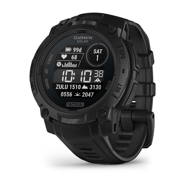
Instinct® 3 – 45 mm, Solar, Tactical Edition
$929.01 Add to cartOverview
Follow yours
Instinct E is the GPS smartwatch with a rugged design and the essential features you need to take on the day.
RUGGED DESIGN
UP TO 16 DAYS OF BATTERY LIFE IN SMARTWATCH MODE
ESSENTIAL HEALTH AND WELLNESS FEATURES
NAVIGATION FEATURES
BUILT-IN SPORTS APPS
SHOW US WHAT YOU’VE GOT. TAG @GARMIN ON INSTAGRAM.
RUGGED DESIGN
Stand out with a rugged design, including a 45 mm high-strength case and scratch-resistant display.
TESTED FOR TOUGHNESS
ESSENTIAL HEALTH AND WELLNESS MONITORING
SMART NOTIFICATIONS
NAVIGATION FEATURES
Navigate confidently with a 3-axis compass, barometric altimeter and multi-GNSS support.
BUILT-IN SPORTS APPS
Track your activities, including walking, running, cycling, hiking, strength training and more.
HEALTH AND WELLNESS
DAILY MOVEMENTS
HRV STATUS
WRIST-BASED HEART RATE
STRESS TRACKING
MORNING REPORT
Receive an overview of your sleep, recovery, daily calendar, HRV status and more as soon as you wake up. You can even customise your reports theme, data shown and more.
HEALTH SNAPSHOT
PULSE OX SENSOR
MINDFUL BREATHING
RESPIRATION
HYDRATION
FITNESS AGE
SMART WAKE ALARM
Wake up more refreshed. The smart wake alarm gently wakes you at the optimal time.
WOMEN’S HEALTH TRACKING
BREATHING VARIATIONS
LIFESTYLE LOGGING
Log behaviours — such as caffeine and alcohol intake — and view reports on how they impact your health in the Garmin Connect™ app.
NUTRITION IN THE GARMIN CONNECT™ APP
Easily track calories and macronutrients, get personalised nutrition recommendations and see reports to follow your progress toward your goals with a Garmin Connect+ plan.
ACTIVITY TRACKING
GARMIN COACH
WORKOUT CREATION
INTENSITY MINUTES
VO2 MAX
ALTITUDE AND HEAT ACCLIMATION
HIIT WORKOUTS
Track your HIIT workouts, including AMRAP, EMOM, Tabata or custom workouts.
DAILY SUGGESTED WORKOUTS
View your entire week of daily suggested workouts, which adapt after every run or ride.
recovery time
Know how long you should recover before your next high-effort workout based on your latest training.
STAY CONNECTED
Garmin Connect
See your health and fitness information, connect with friends and more — in this free, zero-subscription app.
Garmin Messenger™ App
SMART NOTIFICATIONS
SAFETY AND TRACKING FEATURES
CONNECT IQ™ STORE
LIVETRACK FEATURE
ABC SENSORS
GARMIN SHARE
Use this feature to easily share saved locations, courses and workouts with friends’ compatible Garmin devices.
-

Instinct® 3 – 50 mm, Solar
$829.00 Add to cartOverview
Follow yours
Instinct E is the GPS smartwatch with a rugged design and the essential features you need to take on the day.
RUGGED DESIGN
UP TO 16 DAYS OF BATTERY LIFE IN SMARTWATCH MODE
ESSENTIAL HEALTH AND WELLNESS FEATURES
NAVIGATION FEATURES
BUILT-IN SPORTS APPS
SHOW US WHAT YOU’VE GOT. TAG @GARMIN ON INSTAGRAM.
RUGGED DESIGN
Stand out with a rugged design, including a 45 mm high-strength case and scratch-resistant display.
TESTED FOR TOUGHNESS
ESSENTIAL HEALTH AND WELLNESS MONITORING
SMART NOTIFICATIONS
NAVIGATION FEATURES
Navigate confidently with a 3-axis compass, barometric altimeter and multi-GNSS support.
BUILT-IN SPORTS APPS
Track your activities, including walking, running, cycling, hiking, strength training and more.
HEALTH AND WELLNESS
DAILY MOVEMENTS
HRV STATUS
WRIST-BASED HEART RATE
STRESS TRACKING
MORNING REPORT
Receive an overview of your sleep, recovery, daily calendar, HRV status and more as soon as you wake up. You can even customise your reports theme, data shown and more.
HEALTH SNAPSHOT
PULSE OX SENSOR
MINDFUL BREATHING
RESPIRATION
HYDRATION
FITNESS AGE
SMART WAKE ALARM
Wake up more refreshed. The smart wake alarm gently wakes you at the optimal time.
WOMEN’S HEALTH TRACKING
BREATHING VARIATIONS
LIFESTYLE LOGGING
Log behaviours — such as caffeine and alcohol intake — and view reports on how they impact your health in the Garmin Connect™ app.
NUTRITION IN THE GARMIN CONNECT™ APP
Easily track calories and macronutrients, get personalised nutrition recommendations and see reports to follow your progress toward your goals with a Garmin Connect+ plan.
ACTIVITY TRACKING
GARMIN COACH
WORKOUT CREATION
INTENSITY MINUTES
VO2 MAX
ALTITUDE AND HEAT ACCLIMATION
HIIT WORKOUTS
Track your HIIT workouts, including AMRAP, EMOM, Tabata or custom workouts.
DAILY SUGGESTED WORKOUTS
View your entire week of daily suggested workouts, which adapt after every run or ride.
recovery time
Know how long you should recover before your next high-effort workout based on your latest training.
STAY CONNECTED
Garmin Connect
See your health and fitness information, connect with friends and more — in this free, zero-subscription app.
Garmin Messenger™ App
SMART NOTIFICATIONS
SAFETY AND TRACKING FEATURES
CONNECT IQ™ STORE
LIVETRACK FEATURE
ABC SENSORS
GARMIN SHARE
Use this feature to easily share saved locations, courses and workouts with friends’ compatible Garmin devices.
-
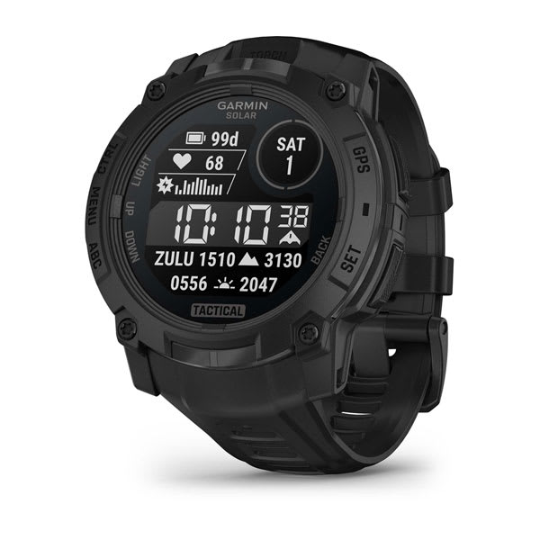
Instinct® 3 – 50 mm, Solar, Tactical Edition
$999.00 Add to cartOverview
Follow yours
Instinct E is the GPS smartwatch with a rugged design and the essential features you need to take on the day.
RUGGED DESIGN
UP TO 16 DAYS OF BATTERY LIFE IN SMARTWATCH MODE
ESSENTIAL HEALTH AND WELLNESS FEATURES
NAVIGATION FEATURES
BUILT-IN SPORTS APPS
SHOW US WHAT YOU’VE GOT. TAG @GARMIN ON INSTAGRAM.
RUGGED DESIGN
Stand out with a rugged design, including a 45 mm high-strength case and scratch-resistant display.
TESTED FOR TOUGHNESS
ESSENTIAL HEALTH AND WELLNESS MONITORING
SMART NOTIFICATIONS
NAVIGATION FEATURES
Navigate confidently with a 3-axis compass, barometric altimeter and multi-GNSS support.
BUILT-IN SPORTS APPS
Track your activities, including walking, running, cycling, hiking, strength training and more.
HEALTH AND WELLNESS
DAILY MOVEMENTS
HRV STATUS
WRIST-BASED HEART RATE
STRESS TRACKING
MORNING REPORT
Receive an overview of your sleep, recovery, daily calendar, HRV status and more as soon as you wake up. You can even customise your reports theme, data shown and more.
HEALTH SNAPSHOT
PULSE OX SENSOR
MINDFUL BREATHING
RESPIRATION
HYDRATION
FITNESS AGE
SMART WAKE ALARM
Wake up more refreshed. The smart wake alarm gently wakes you at the optimal time.
WOMEN’S HEALTH TRACKING
BREATHING VARIATIONS
LIFESTYLE LOGGING
Log behaviours — such as caffeine and alcohol intake — and view reports on how they impact your health in the Garmin Connect™ app.
NUTRITION IN THE GARMIN CONNECT™ APP
Easily track calories and macronutrients, get personalised nutrition recommendations and see reports to follow your progress toward your goals with a Garmin Connect+ plan.
ACTIVITY TRACKING
GARMIN COACH
WORKOUT CREATION
INTENSITY MINUTES
VO2 MAX
ALTITUDE AND HEAT ACCLIMATION
HIIT WORKOUTS
Track your HIIT workouts, including AMRAP, EMOM, Tabata or custom workouts.
DAILY SUGGESTED WORKOUTS
View your entire week of daily suggested workouts, which adapt after every run or ride.
recovery time
Know how long you should recover before your next high-effort workout based on your latest training.
STAY CONNECTED
Garmin Connect
See your health and fitness information, connect with friends and more — in this free, zero-subscription app.
Garmin Messenger™ App
SMART NOTIFICATIONS
SAFETY AND TRACKING FEATURES
CONNECT IQ™ STORE
LIVETRACK FEATURE
ABC SENSORS
GARMIN SHARE
Use this feature to easily share saved locations, courses and workouts with friends’ compatible Garmin devices.
-

Instinct® 3 – 45 mm, AMOLED
$829.00 Add to cartOverview
Follow yours
Instinct E is the GPS smartwatch with a rugged design and the essential features you need to take on the day.
RUGGED DESIGN
UP TO 16 DAYS OF BATTERY LIFE IN SMARTWATCH MODE
ESSENTIAL HEALTH AND WELLNESS FEATURES
NAVIGATION FEATURES
BUILT-IN SPORTS APPS
SHOW US WHAT YOU’VE GOT. TAG @GARMIN ON INSTAGRAM.
RUGGED DESIGN
Stand out with a rugged design, including a 45 mm high-strength case and scratch-resistant display.
TESTED FOR TOUGHNESS
ESSENTIAL HEALTH AND WELLNESS MONITORING
SMART NOTIFICATIONS
NAVIGATION FEATURES
Navigate confidently with a 3-axis compass, barometric altimeter and multi-GNSS support.
BUILT-IN SPORTS APPS
Track your activities, including walking, running, cycling, hiking, strength training and more.
HEALTH AND WELLNESS
DAILY MOVEMENTS
HRV STATUS
WRIST-BASED HEART RATE
STRESS TRACKING
MORNING REPORT
Receive an overview of your sleep, recovery, daily calendar, HRV status and more as soon as you wake up. You can even customise your reports theme, data shown and more.
HEALTH SNAPSHOT
PULSE OX SENSOR
MINDFUL BREATHING
RESPIRATION
HYDRATION
FITNESS AGE
SMART WAKE ALARM
Wake up more refreshed. The smart wake alarm gently wakes you at the optimal time.
WOMEN’S HEALTH TRACKING
BREATHING VARIATIONS
LIFESTYLE LOGGING
Log behaviours — such as caffeine and alcohol intake — and view reports on how they impact your health in the Garmin Connect™ app.
NUTRITION IN THE GARMIN CONNECT™ APP
Easily track calories and macronutrients, get personalised nutrition recommendations and see reports to follow your progress toward your goals with a Garmin Connect+ plan.
ACTIVITY TRACKING
GARMIN COACH
WORKOUT CREATION
INTENSITY MINUTES
VO2 MAX
ALTITUDE AND HEAT ACCLIMATION
HIIT WORKOUTS
Track your HIIT workouts, including AMRAP, EMOM, Tabata or custom workouts.
DAILY SUGGESTED WORKOUTS
View your entire week of daily suggested workouts, which adapt after every run or ride.
recovery time
Know how long you should recover before your next high-effort workout based on your latest training.
STAY CONNECTED
Garmin Connect
See your health and fitness information, connect with friends and more — in this free, zero-subscription app.
Garmin Messenger™ App
SMART NOTIFICATIONS
SAFETY AND TRACKING FEATURES
CONNECT IQ™ STORE
LIVETRACK FEATURE
ABC SENSORS
GARMIN SHARE
Use this feature to easily share saved locations, courses and workouts with friends’ compatible Garmin devices.
-
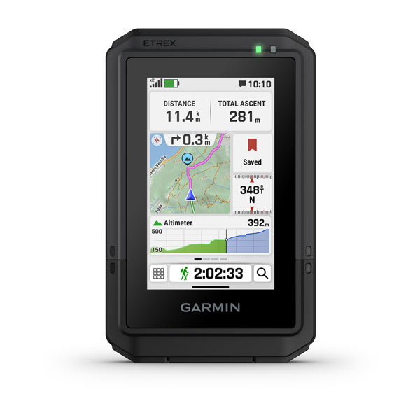
eTrex® Touch
$799.00 Add to cartOverview
TAP INTO ADVENTURE
This essential, simple-to-use touchscreen GPS handheld offers preloaded TopoActive maps with routable trails and roads for your outdoor adventure. Plus, the durable design and long battery life help you enjoy all your activities even more.
SWIPE AND ZOOM ON A BRIGHT 3″ TOUCHSCREEN
PRELOADED MAPS FOR ROADS AND TRAILS
LONG BATTERY LIFE OF UP TO 130 HOURS IN GPS MODE
PLAN AND REVIEW TRIPS WITH THE GARMIN EXPLORE™ SMARTPHONE APP
BUILT TOUGH (MIL-STD 810) AND WEATHER-RESISTANT (IP67)
OPTION TO PURCHASE AN OUTDOOR MAPS+ PLAN FOR PREMIUM MAPPING
SHOW US WHAT YOU’VE GOT. TAG @GARMIN ON INSTAGRAM.
TOUCHSCREEN
The slim, pocket-size handheld features a bright 3″ high-resolution colour touchscreen so you can easily swipe and zoom to follow your route.
RUGGED DESIGN
PRELOADED MAPS
View detailed TopoActive maps for roads and trails, and see terrain contours, topographic elevations, summits, parks, rivers, lakes and geographical points plus thousands of points of interest. Plus, get easy access to additional TopoActive mapping around the globe.
OUTDOOR MAPS+
PLAN AND REVIEW YOUR TRIP
WEATHER
Get real-time forecast information so you are aware of the changing conditions. This feature requires an active internet or Wi-Fi connection, or use of the Garmin Explore app on your paired smartphone.
ADVENTURE FEATURES
BATTERY LIFE
Get long battery life up to 130 hours in all satellite systems plus multi-band mode, assuming typical use with SatIQ™ technology; and up to 650 hours in expedition mode.
GPS ACCURACY
Know where you are with multi-band GPS and multi-GNSS support, which gives you access to multiple frequencies sent by navigation satellites for superior position accuracy.
FIND NEW DESTINATIONS
Popularity routing helps you navigate the best routes and rides. Round-trip routing allows you to enter a distance you want to travel for route suggestions that will bring you back to where you started.
ASCENT PLANNING
See upcoming climbs on your route, when they will occur and how steep they will be.
DIGITAL COMPASS
Follow your bearing on the digital compass, which provides an accurate heading even when stationary.
GEOCACHING
GARMIN SHARE
Easily share saved locations and courses with friends’ compatible Garmin devices.
ON THE GO
This device has an integrated Spine Mount 2 and is compatible with additional accessories, sold separately.
-

Montana® 710
$1149.01 Add to cartOverview
STAY ON TRACK AND IN TOUCH WHILE CAPTURING YOUR ADVENTURES
LARGE 5-INCH GLOVE-FRIENDLY TOUCHSCREEN
PRELOADED ROUTABLE TOPOGRAPHIC MAPS WITH LANDMARKS
USE THE BUILT-IN CAMERA TO SNAP PICS AND TAG THE LOCATION
SATELLITE IMAGERY SHOWS VIVID OVERHEAD VIEWS OF YOUR ROUTE
GLOBAL CONNECTIVITY
BUILT-IN CAMERA
Capture images of your adventures with this Montana 760i device, featuring an integrated 8-megapixel autofocus camera. It geotags photos with coordinates, so you can navigate back to favourite sites in the future.
RUGGED BY DESIGN
TOPOACTIVE MAPS
SATELLITE VIEWS
OUTDOOR MAPS+
INREACH FEATURES
TWO-WAY MESSAGING
INTERACTIVE SOS
INREACH WEATHER
Live Tracking
NAVIGATION FEATURES
GARMIN EXPLORE™ APP
MULTI-GNSS SUPPORT
Access to GPS and Galileo satellite networks enables Montana 760i to track in more challenging environments than GPS alone.
ABC SENSORS
Navigate your next trail with ABC sensors, including an altimeter for elevation data, barometer to monitor weather and 3-axis electronic compass.
ADDITIONAL MAPS
ACTIVE WEATHER
DOG TRACKING
WIKILOC TRAILS
ADVENTURE FEATURES
EXPEDITION MODE
Trek far and wide off-grid. Use expedition mode, an ultralow-powered GPS reference, to keep Montana tracking for more than 2 weeks between recharges.
BATTERY OPTIONS
VEHICLE MOUNTS
A variety of Montana handheld-compatible mounts (sold separately) lets you adapt your navigator for use on ATVs, boats, cars, motorcycles, motorhomes or other vehicles.
-

Montana® 710i
$1399.00 Add to cartOverview
STAY ON TRACK AND IN TOUCH WHILE CAPTURING YOUR ADVENTURES
LARGE 5-INCH GLOVE-FRIENDLY TOUCHSCREEN
PRELOADED ROUTABLE TOPOGRAPHIC MAPS WITH LANDMARKS
USE THE BUILT-IN CAMERA TO SNAP PICS AND TAG THE LOCATION
SATELLITE IMAGERY SHOWS VIVID OVERHEAD VIEWS OF YOUR ROUTE
GLOBAL CONNECTIVITY
BUILT-IN CAMERA
Capture images of your adventures with this Montana 760i device, featuring an integrated 8-megapixel autofocus camera. It geotags photos with coordinates, so you can navigate back to favourite sites in the future.
RUGGED BY DESIGN
TOPOACTIVE MAPS
SATELLITE VIEWS
OUTDOOR MAPS+
INREACH FEATURES
TWO-WAY MESSAGING
INTERACTIVE SOS
INREACH WEATHER
Live Tracking
NAVIGATION FEATURES
GARMIN EXPLORE™ APP
MULTI-GNSS SUPPORT
Access to GPS and Galileo satellite networks enables Montana 760i to track in more challenging environments than GPS alone.
ABC SENSORS
Navigate your next trail with ABC sensors, including an altimeter for elevation data, barometer to monitor weather and 3-axis electronic compass.
ADDITIONAL MAPS
ACTIVE WEATHER
DOG TRACKING
WIKILOC TRAILS
ADVENTURE FEATURES
EXPEDITION MODE
Trek far and wide off-grid. Use expedition mode, an ultralow-powered GPS reference, to keep Montana tracking for more than 2 weeks between recharges.
BATTERY OPTIONS
VEHICLE MOUNTS
A variety of Montana handheld-compatible mounts (sold separately) lets you adapt your navigator for use on ATVs, boats, cars, motorcycles, motorhomes or other vehicles.
-

Montana® 760i
$1579.00 Add to cartOverview
STAY ON TRACK AND IN TOUCH WHILE CAPTURING YOUR ADVENTURES
LARGE 5-INCH GLOVE-FRIENDLY TOUCHSCREEN
PRELOADED ROUTABLE TOPOGRAPHIC MAPS WITH LANDMARKS
USE THE BUILT-IN CAMERA TO SNAP PICS AND TAG THE LOCATION
SATELLITE IMAGERY SHOWS VIVID OVERHEAD VIEWS OF YOUR ROUTE
GLOBAL CONNECTIVITY
BUILT-IN CAMERA
Capture images of your adventures with this Montana 760i device, featuring an integrated 8-megapixel autofocus camera. It geotags photos with coordinates, so you can navigate back to favourite sites in the future.
RUGGED BY DESIGN
TOPOACTIVE MAPS
SATELLITE VIEWS
OUTDOOR MAPS+
INREACH FEATURES
TWO-WAY MESSAGING
INTERACTIVE SOS
INREACH WEATHER
Live Tracking
NAVIGATION FEATURES
GARMIN EXPLORE™ APP
MULTI-GNSS SUPPORT
Access to GPS and Galileo satellite networks enables Montana 760i to track in more challenging environments than GPS alone.
ABC SENSORS
Navigate your next trail with ABC sensors, including an altimeter for elevation data, barometer to monitor weather and 3-axis electronic compass.
ADDITIONAL MAPS
ACTIVE WEATHER
DOG TRACKING
WIKILOC TRAILS
ADVENTURE FEATURES
EXPEDITION MODE
Trek far and wide off-grid. Use expedition mode, an ultralow-powered GPS reference, to keep Montana tracking for more than 2 weeks between recharges.
BATTERY OPTIONS
VEHICLE MOUNTS
A variety of Montana handheld-compatible mounts (sold separately) lets you adapt your navigator for use on ATVs, boats, cars, motorcycles, motorhomes or other vehicles.
-
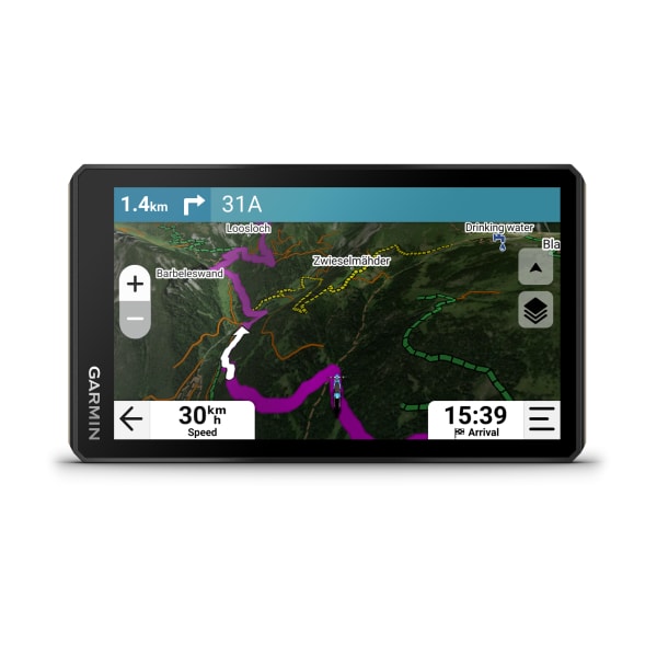
Tread® 2
$1189.00 Add to cartOverview
Navigate the unforgiving
Built for high speed and high performance, this rugged off-road chase navigator has the tools you need to stay on track and the communication technology to stay in touch with global satellite coverage. With Tread XL - Baja Chase Edition, you'll know where your race vehicle is and be able to communicate and support your team if any challenges come up or if you need to coordinate repairs.
GPX course file-compatibility lets you view course start/end, racetrack line, virtual checkpoints, pit locations and race mile markers.
This rugged navigator is IP67 dust and weather-resistant and has a 10″ ultrabright touchscreen display.
Get prerunning tools for creating custom pace notes — such as “sharp turn” — to help navigate your most efficient route through virtual checkpoints.
The Tread Baja Chase Edition includes a heavy-duty suction cup for easy portability from one support truck to another.
Put your device in chase mode to track your race vehicle with real-time updates on the map.
Be ready to support your race vehicle.
TEAM TRACKING
EASY PORTABILITY
The Tread Baja Chase Edition has a heavy-duty suction cup, vehicle power cable and robust, portable mounting hardware to easily move from one chase truck to another.
KNOW THE COURSE
Import the GPX data ahead of time to view the course start/end, racetrack line, all virtual checkpoints, pit locations and race mile markers.
PRERUNNING TOOLS
Prerunning tools let you create custom pace notes — such as “sharp turn,” “stepdown” or “danger” — to help you anticipate obstacles and navigate the most efficient route through all virtual checkpoints.
TRACK YOUR TRUCK
When in chase mode, use your device to track a race vehicle with real-time updates on the map.
HIGH-PERFORMANCE GPS
CONTROL YOUR ACCESSORIES
OFF-ROAD RUGGEDNESS
TEAM TRACKING PLANS
Enjoy team tracking with unlimited SOS, text messages and more ( requires active).
SATELLITE IMAGERY
OUTDOOR MAPS+
Track your team with an inReach Flex Team subscription.
Control your vehicle's accessories with Garmin PowerSwitch™.
See what's behind your vehicle with a Garmin backup camera.
Support your need to wander with off-road maps for every adventure
-
Handlebar Controller
$249.00 Add to cart<a href="https://support.garmin.com/en-AU/?faq=jZ2cCpaFkm9TtasyTn0tW5">Check Compatibility</a>
Overview
EASILY OPERATE YOUR SAT NAV, THROUGH CURVES AND TOUGH TERRAIN
ZOOM IN AND OUT ON YOUR MAPS, EVEN WITH GLOVES
SELECT MAP LAYERS, CONTROL MUSIC AND MORE
BRING ON THE ELEMENTS — IT’S DUST AND WATER-RESISTANT (IP67)
INCLUDES FLEXIBLE MOUNTING SOLUTIONS TO BEST FIT YOUR VEHICLE SETUP
WORKS WITH ZŪMO XT2/XT3 OR YOUR COMPATIBLE TREAD DEVICE
SHOW US WHAT YOU’VE GOT. TAG @GARMIN ON INSTAGRAM.
STAY IN CONTROL
SIMPLE TO USE
Intuitive buttons make it easy to zoom in and out of your map view. No need to remove gloves or gear.
EASY MAP SWITCHING
Quickly select your preferred map layers, mark waypoints, control music and more — all while your hands remain on your handlebars.
DESIGNED FOR EXTREMES
MOUNT ON YOUR MACHINE
The handlebar controller includes rugged and versatile mounting options to best fit the setup of your vehicle. Use with handlebars that are 22.225 mm (7/8 inch), 25.4 mm (1 inch) and 31.75 mm (1-1/4 inch) in diameter.
-

dēzl™ DualView
$1699.01 Add to cartOverview
BLIND-SPOT VIGILANCE, SIDE CAMERA EVIDENCE
GET CLEAR CAMERA VIEWS DOWN EACH SIDE OF YOUR TRUCK WITH YOUR TABLET OR DĒZL LGV DEVICE
BLIND-SPOT MONITORING AND MERGING ALERTS PROMOTE SITUATIONAL AWARENESS
RUGGED DESIGN WITHSTANDS PRESSURE WASHERS AND WEATHER
SLEEK FLUSH-MOUNT INSTALLATION
CONTINUOUS VIDEO STORAGE WITH A PAID VAULT PLAN
SHOW US WHAT YOU’VE GOT. TAG @GARMIN ON INSTAGRAM.
SIDE SURVEILLANCE
BLIND-SPOT MONITORING
Continuous blind-spot monitoring and alerts for merging traffic help promote increased awareness of your traffic situation. Also, when your reverse path is obstructed by the truck cab and/or trailer, gain confidence by having a clear line of sight to help you manoeuvre during blindside backing.
VIDEO RECORDING
BUILT FOR THE ELEMENTS
SLEEK INSTALL
The dēzl™ DualView cameras offer secure flush-mount installation to side mirrors or other flat surfaces on your truck. Professional installation is recommended.
VIEW AND SHARE VIDEOS
SIDE CAMERA SYSTEM FEATURES
AUTOMATIC LIVE VIEW
When paired with your dēzl LGV truck sat nav, the dēzl DualView camera system can automatically show a live camera view when reducing speed or using your turn signal.
EVENT DETAILS
When paired with your dēzl LGV sat nav or GPS-enabled Garmin dash cam, you can see location, speed, date and time data overlaid on your video to show exactly when and where events occurred.
REFINE YOUR VIEW
To give you the clearest possible field of view, adjustable camera lens angles make for easy setup and alignment by using the Garmin Drive app on your paired tablet or smartphone.
VOICE CONTROL
Keep your hands on the wheel by using voice commands to see the camera view when paired with your dēzl LGV truck sat nav.
CONNECT MORE CAMERAS
Get more awareness with more camera viewpoints. For additional camera views, network up to 3 additional Garmin cameras (each sold separately) to add front- or rear-facing camera perspectives.
-
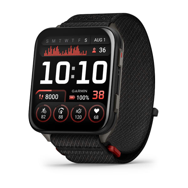
Venu® X1
$1499.00 Add to cartOverview
OUR BIGGEST DISPLAY
OUR THINNEST WATCH CASE
PEAK PERFORMANCE IS YOURS
MAKE IT SHINE
LET YOUR PASSIONS PREVAIL
MAKE AND TAKE CALLS¹
2” EASY-TO-READ AMOLED DISPLAY
8 MM WATCH CASE WITH A SCRATCH-RESISTANT SAPPHIRE LENS
GET UP TO 8 DAYS OF BATTERY LIFE IN SMARTWATCH MODE
DETAILED HEALTH AND WELLNESS INSIGHTS
MAKE AND TAKE CALLS WITH A SPEAKER AND MICROPHONE¹
BRIGHT BUILT-IN LED FLASHLIGHT
SHOW US WHAT YOU’VE GOT. TAG @GARMIN ON INSTAGRAM.
EASY-TO-READ DISPLAY
See your data on our biggest 2” AMOLED display with a scratch-resistant sapphire lens. Enjoy all-day wearability, thanks to the lightweight titanium caseback, sleek design and ComfortFit nylon band.
HEALTH IS WEALTH
Learn more about your body, and make improvements toward a healthier lifestyle with 24/7 health and wellness monitoring with HRV status, advanced sleep tracking, Body Battery™ energy monitoring, Pulse Ox and more³. See your stats in the morning report, and get a customisable overview of your sleep, training outlook, HRV status and more.
WORKOUT OPTIONS
Track all the ways you move with 100+ preloaded sports apps, including running, golf, strength training and more. Plus, Garmin Coach plans for running, strength and cycling help you prepare for whatever your goals might be.
PERFORMANCE AND TRAINING FEATURES
Advanced performance features such as training readiness help you know when it’s time to push your workout or take a recovery day. Track your performance progress with features that include endurance score, training status and hill score — and see how your body is adapting to your training load, so you know if you’re training productively.
EVERYDAY UTILITY
A built-in LED flashlight provides convenient illumination when you need it. Make and take phone calls from your wrist when your watch is paired to your smartphone. You can even control watch functions with voice commands — or use your smartphone’s voice assistant to respond to text messages and more.
ADVANCED MAPPING
Easily navigate during select activities with preloaded TopoActive maps from around the world. Improve your game with advanced golf features and preloaded CourseView maps for more than 43,000 golf courses around the world.
HEALTH FEATURES
HEALTH STATUS
Look for changes in your health data that could indicate added stress to your body, so you can know when you’re trending away from your usual range.
BODY BATTERY ENERGY MONITORING
SLEEP COACH
Get a sleep score and personalised coaching for how much sleep you need. Track sleep stages, and get insights to help improve sleep quality⁴.
HRV STATUS
BREATHING VARIATIONS
For a closer glimpse of your health, the breathing variations feature helps you understand shifts in your breathing patterns as you sleep⁵. These shifts could be related to environment, alcohol, or potential sleep disorders such as sleep apnea.
LIFESTYLE LOGGING
Log behaviours — such as caffeine and alcohol intake — and view reports on how they impact your health in the Garmin Connect™ app.
NUTRITION IN THE GARMIN CONNECT™ APP
Easily track calories and macronutrients, get personalised nutrition recommendations and see reports to follow your progress toward your goals with a Garmin Connect+ plan.
MORNING REPORT
Receive an overview of your sleep, recovery, daily calendar, HRV status and more as soon as you wake up. You can even customise your reports theme, data shown and more.
EVENING REPORT
Prepare for tomorrow before bed with a reminder of sleep need, tomorrow’s workout, weather and events.
NAP DETECTION
Automatically track or log your naps to see how they benefit your body and to check the recommended time and duration they should be.
SMART WAKE ALARM
Wake up more refreshed. The smart wake alarm gently vibrates to wake you at the optimal time.
SLEEP ALIGNMENT
See how aligned you are to your circadian rhythm to help maintain a more consistent sleep cycle.
WRIST-BASED HEART RATE
STRESS TRACKING
HEALTH SNAPSHOT™ FEATURE
Pulse Ox sensor
MEDITATION
Help reduce stress, anxiety and more with guided meditation practices.
JET LAG ADVISER
ALTITUDE AND HEAT ACCLIMATION
RESPIRATION TRACKING
RED SHIFT
Preserve your night vision, and reduce sleep cycle disturbances with red shift, which changes the entire watch display to shades of red, green or orange.
FITNESS AND TRAINING FEATURES
TRACK YOUR ACTIVITIES
Use 100+ preloaded activity profiles to get data and insight from your active pursuits, including running, golf and strength training.
TRAINING READINESS
From the moment you wake up, get a readiness score based on your sleep quality⁴, recovery, training load and more, so you can determine if it’s a good day to go hard — or take it easy.
Training status
GARMIN FITNESS COACH
Reach your goals with Garmin Coach training plans for running, cycling, strength and fitness; some even adapt based on your health and fitness metrics.
DAILY SUGGESTED WORKOUTS
Get running, track run and cycling workouts made for you. They adapt after every run to match your performance and recovery.
STRENGTH TRAINING
Elevate your body’s performance with a built-in activity profile, targeted strength training plans, workouts and more. You can also track reps, sets and even rest time.
WORKOUT CREATION
Mixed Session
Track multiple activities in one session. Just choose one activity, press stop, then move to the next.
ANIMATED WORKOUTS
Improve your form with downloadable animated workouts from Garmin Connect for HIIT, cardio, strength, yoga and Pilates.
MOBILITY
Increase your flexibility and strength with new downloadable mobility workouts available for free in the Garmin Connect™ app and an activity profile.
TRIATHLON AND MULTISPORT
Automatically record splits with built-in profiles for triathlons, duathlons, brick workouts and swimruns, or you can create your own.
COURSE PLANNER
Prepare for what’s to come. This feature lets you add cut-off times, notes, rest plans, checkpoints and aid stations to keep you on track throughout the race.
RUNNING TOLERANCE
Better understand the impact each run has on your body, and get a recommended weekly maximum mileage so you can keep training effectively without taking on too much.
RUNNING ECONOMY
Measure your overall energy efficiency while running — using long-term running volume, stride length and step speed loss, which tells you how much you slow down when your foot hits the ground — when you pair your watch with the HRM 600 heart rate monitor (sold separately).
RUCKING ACTIVITY
A dedicated rucking activity profile allows you to enter pack weight.
STEP SPEED LOSS
Improve your running form and understand how much you slow down when your foot hits the ground when you pair your watch with the HRM 600 heart rate monitor (sold separately).
ENDURANCE SCORE
HILL SCORE
WRIST-BASED RUNNING DYNAMICS
View crucial running metrics such as cadence, stride length, ground contact time and more.
WRIST-BASED RUNNING POWER
PACEPRO™ PACING STRATEGIES
CLIMBPRO FEATURE
RECOVERY TIME
RACE PREDICTOR
SEE YOUR CYCLING DATA
Connect with compatible cycling products, including Rally™ power meter pedals, to monitor performance and ride smarter, plus get haptic and voice alerts for approaching vehicles and more when paired with a Varia™ rearview radar.
NAVIGATION
FULL-COLOUR MAPPING
Whether you’re running on city streets or riding densely covered trails, this watch provides full-colour, built-in mapping.
DYNAMIC ROUND-TRIP ROUTING
GOLF ACTVITY AND COURSE MAPS
ABC SENSORS
OUTDOOR MAPS+
CONNECT
GARMIN CONNECT APP
See your health and fitness information, connect with friends and more.
SMART NOTIFICATIONS
ON-WRIST TEXTING
Use the keyboard to send quick text responses on your paired watch (Android only or through the Garmin Messenger™ app⁵) so you can keep your phone in your pocket.
WORKS WITH WHATSAPP
VIEW PHOTOS ON WATCH
With an Android phone, view photos sent to you directly from your watch’s screen.
MUSIC
Download songs plus playlists from your Spotify, Deezer or Amazon Music accounts for phone-free listening (subscription may be required).
GARMIN PAY™ CONTACTLESS PAYMENTS
SAFETY AND TRACKING FEATURES
GARMIN SHARE
Use this feature to easily share saved locations, courses and workouts with friends’ compatible Garmin devices.
STOCKS TRACKER
Keep track of up to 50 of your favourite stocks⁷ — right from your wrist.
SPORTS SCORES
Live data, schedules and standings for 15 different sports leagues when paired to your smartphone.
CONNECT IQ™ STORE
CONVENIENCE
BUILT-IN LED FLASHLIGHT
The integrated flashlight with variable light intensities and a red safety light gives you greater awareness in the dark and helps make other people aware of where you are.
FONT SIZES
Change the text size for easy readability.
COLOUR FILTERS
Get colour display options — including gray scale, red/green, green/red or blue/yellow — to assist with various forms of colour blindness.
WATCH FACE CUSTOMISATION
Choose from various watch faces with customisable data and colours. Even hear the data fields spoken from the watch face.
CALCULATOR
The easy-to-use calculator app includes a tip calculator for quick needs.
FOCUS MODES
Automatically silence notifications and distractions during sleep or activities with focus modes that can be customised to the user’s preference.
Calendar
See upcoming appointments and meetings from your paired smartphone’s calendar.
TIMER AND STOPWATCH
We didn’t forget about the practical features you need for everyday life.
FIND MY PHONE
-

Venu® X1
$1499.00 Add to cartOverview
OUR BIGGEST DISPLAY
OUR THINNEST WATCH CASE
PEAK PERFORMANCE IS YOURS
MAKE IT SHINE
LET YOUR PASSIONS PREVAIL
MAKE AND TAKE CALLS¹
2” EASY-TO-READ AMOLED DISPLAY
8 MM WATCH CASE WITH A SCRATCH-RESISTANT SAPPHIRE LENS
GET UP TO 8 DAYS OF BATTERY LIFE IN SMARTWATCH MODE
DETAILED HEALTH AND WELLNESS INSIGHTS
MAKE AND TAKE CALLS WITH A SPEAKER AND MICROPHONE¹
BRIGHT BUILT-IN LED FLASHLIGHT
SHOW US WHAT YOU’VE GOT. TAG @GARMIN ON INSTAGRAM.
EASY-TO-READ DISPLAY
See your data on our biggest 2” AMOLED display with a scratch-resistant sapphire lens. Enjoy all-day wearability, thanks to the lightweight titanium caseback, sleek design and ComfortFit nylon band.
HEALTH IS WEALTH
Learn more about your body, and make improvements toward a healthier lifestyle with 24/7 health and wellness monitoring with HRV status, advanced sleep tracking, Body Battery™ energy monitoring, Pulse Ox and more³. See your stats in the morning report, and get a customisable overview of your sleep, training outlook, HRV status and more.
WORKOUT OPTIONS
Track all the ways you move with 100+ preloaded sports apps, including running, golf, strength training and more. Plus, Garmin Coach plans for running, strength and cycling help you prepare for whatever your goals might be.
PERFORMANCE AND TRAINING FEATURES
Advanced performance features such as training readiness help you know when it’s time to push your workout or take a recovery day. Track your performance progress with features that include endurance score, training status and hill score — and see how your body is adapting to your training load, so you know if you’re training productively.
EVERYDAY UTILITY
A built-in LED flashlight provides convenient illumination when you need it. Make and take phone calls from your wrist when your watch is paired to your smartphone. You can even control watch functions with voice commands — or use your smartphone’s voice assistant to respond to text messages and more.
ADVANCED MAPPING
Easily navigate during select activities with preloaded TopoActive maps from around the world. Improve your game with advanced golf features and preloaded CourseView maps for more than 43,000 golf courses around the world.
HEALTH FEATURES
HEALTH STATUS
Look for changes in your health data that could indicate added stress to your body, so you can know when you’re trending away from your usual range.
BODY BATTERY ENERGY MONITORING
SLEEP COACH
Get a sleep score and personalised coaching for how much sleep you need. Track sleep stages, and get insights to help improve sleep quality⁴.
HRV STATUS
BREATHING VARIATIONS
For a closer glimpse of your health, the breathing variations feature helps you understand shifts in your breathing patterns as you sleep⁵. These shifts could be related to environment, alcohol, or potential sleep disorders such as sleep apnea.
LIFESTYLE LOGGING
Log behaviours — such as caffeine and alcohol intake — and view reports on how they impact your health in the Garmin Connect™ app.
NUTRITION IN THE GARMIN CONNECT™ APP
Easily track calories and macronutrients, get personalised nutrition recommendations and see reports to follow your progress toward your goals with a Garmin Connect+ plan.
MORNING REPORT
Receive an overview of your sleep, recovery, daily calendar, HRV status and more as soon as you wake up. You can even customise your reports theme, data shown and more.
EVENING REPORT
Prepare for tomorrow before bed with a reminder of sleep need, tomorrow’s workout, weather and events.
NAP DETECTION
Automatically track or log your naps to see how they benefit your body and to check the recommended time and duration they should be.
SMART WAKE ALARM
Wake up more refreshed. The smart wake alarm gently vibrates to wake you at the optimal time.
SLEEP ALIGNMENT
See how aligned you are to your circadian rhythm to help maintain a more consistent sleep cycle.
WRIST-BASED HEART RATE
STRESS TRACKING
HEALTH SNAPSHOT™ FEATURE
Pulse Ox sensor
MEDITATION
Help reduce stress, anxiety and more with guided meditation practices.
JET LAG ADVISER
ALTITUDE AND HEAT ACCLIMATION
RESPIRATION TRACKING
RED SHIFT
Preserve your night vision, and reduce sleep cycle disturbances with red shift, which changes the entire watch display to shades of red, green or orange.
FITNESS AND TRAINING FEATURES
TRACK YOUR ACTIVITIES
Use 100+ preloaded activity profiles to get data and insight from your active pursuits, including running, golf and strength training.
TRAINING READINESS
From the moment you wake up, get a readiness score based on your sleep quality⁴, recovery, training load and more, so you can determine if it’s a good day to go hard — or take it easy.
Training status
GARMIN FITNESS COACH
Reach your goals with Garmin Coach training plans for running, cycling, strength and fitness; some even adapt based on your health and fitness metrics.
DAILY SUGGESTED WORKOUTS
Get running, track run and cycling workouts made for you. They adapt after every run to match your performance and recovery.
STRENGTH TRAINING
Elevate your body’s performance with a built-in activity profile, targeted strength training plans, workouts and more. You can also track reps, sets and even rest time.
WORKOUT CREATION
Mixed Session
Track multiple activities in one session. Just choose one activity, press stop, then move to the next.
ANIMATED WORKOUTS
Improve your form with downloadable animated workouts from Garmin Connect for HIIT, cardio, strength, yoga and Pilates.
MOBILITY
Increase your flexibility and strength with new downloadable mobility workouts available for free in the Garmin Connect™ app and an activity profile.
TRIATHLON AND MULTISPORT
Automatically record splits with built-in profiles for triathlons, duathlons, brick workouts and swimruns, or you can create your own.
COURSE PLANNER
Prepare for what’s to come. This feature lets you add cut-off times, notes, rest plans, checkpoints and aid stations to keep you on track throughout the race.
RUNNING TOLERANCE
Better understand the impact each run has on your body, and get a recommended weekly maximum mileage so you can keep training effectively without taking on too much.
RUNNING ECONOMY
Measure your overall energy efficiency while running — using long-term running volume, stride length and step speed loss, which tells you how much you slow down when your foot hits the ground — when you pair your watch with the HRM 600 heart rate monitor (sold separately).
RUCKING ACTIVITY
A dedicated rucking activity profile allows you to enter pack weight.
STEP SPEED LOSS
Improve your running form and understand how much you slow down when your foot hits the ground when you pair your watch with the HRM 600 heart rate monitor (sold separately).
ENDURANCE SCORE
HILL SCORE
WRIST-BASED RUNNING DYNAMICS
View crucial running metrics such as cadence, stride length, ground contact time and more.
WRIST-BASED RUNNING POWER
PACEPRO™ PACING STRATEGIES
CLIMBPRO FEATURE
RECOVERY TIME
RACE PREDICTOR
SEE YOUR CYCLING DATA
Connect with compatible cycling products, including Rally™ power meter pedals, to monitor performance and ride smarter, plus get haptic and voice alerts for approaching vehicles and more when paired with a Varia™ rearview radar.
NAVIGATION
FULL-COLOUR MAPPING
Whether you’re running on city streets or riding densely covered trails, this watch provides full-colour, built-in mapping.
DYNAMIC ROUND-TRIP ROUTING
GOLF ACTVITY AND COURSE MAPS
ABC SENSORS
OUTDOOR MAPS+
CONNECT
GARMIN CONNECT APP
See your health and fitness information, connect with friends and more.
SMART NOTIFICATIONS
ON-WRIST TEXTING
Use the keyboard to send quick text responses on your paired watch (Android only or through the Garmin Messenger™ app⁵) so you can keep your phone in your pocket.
WORKS WITH WHATSAPP
VIEW PHOTOS ON WATCH
With an Android phone, view photos sent to you directly from your watch’s screen.
MUSIC
Download songs plus playlists from your Spotify, Deezer or Amazon Music accounts for phone-free listening (subscription may be required).
GARMIN PAY™ CONTACTLESS PAYMENTS
SAFETY AND TRACKING FEATURES
GARMIN SHARE
Use this feature to easily share saved locations, courses and workouts with friends’ compatible Garmin devices.
STOCKS TRACKER
Keep track of up to 50 of your favourite stocks⁷ — right from your wrist.
SPORTS SCORES
Live data, schedules and standings for 15 different sports leagues when paired to your smartphone.
CONNECT IQ™ STORE
CONVENIENCE
BUILT-IN LED FLASHLIGHT
The integrated flashlight with variable light intensities and a red safety light gives you greater awareness in the dark and helps make other people aware of where you are.
FONT SIZES
Change the text size for easy readability.
COLOUR FILTERS
Get colour display options — including gray scale, red/green, green/red or blue/yellow — to assist with various forms of colour blindness.
WATCH FACE CUSTOMISATION
Choose from various watch faces with customisable data and colours. Even hear the data fields spoken from the watch face.
CALCULATOR
The easy-to-use calculator app includes a tip calculator for quick needs.
FOCUS MODES
Automatically silence notifications and distractions during sleep or activities with focus modes that can be customised to the user’s preference.
Calendar
See upcoming appointments and meetings from your paired smartphone’s calendar.
TIMER AND STOPWATCH
We didn’t forget about the practical features you need for everyday life.
FIND MY PHONE
-

Venu® X1
$1499.00 Add to cartOverview
OUR BIGGEST DISPLAY
OUR THINNEST WATCH CASE
PEAK PERFORMANCE IS YOURS
MAKE IT SHINE
LET YOUR PASSIONS PREVAIL
MAKE AND TAKE CALLS¹
2” EASY-TO-READ AMOLED DISPLAY
8 MM WATCH CASE WITH A SCRATCH-RESISTANT SAPPHIRE LENS
GET UP TO 8 DAYS OF BATTERY LIFE IN SMARTWATCH MODE
DETAILED HEALTH AND WELLNESS INSIGHTS
MAKE AND TAKE CALLS WITH A SPEAKER AND MICROPHONE¹
BRIGHT BUILT-IN LED FLASHLIGHT
SHOW US WHAT YOU’VE GOT. TAG @GARMIN ON INSTAGRAM.
EASY-TO-READ DISPLAY
See your data on our biggest 2” AMOLED display with a scratch-resistant sapphire lens. Enjoy all-day wearability, thanks to the lightweight titanium caseback, sleek design and ComfortFit nylon band.
HEALTH IS WEALTH
Learn more about your body, and make improvements toward a healthier lifestyle with 24/7 health and wellness monitoring with HRV status, advanced sleep tracking, Body Battery™ energy monitoring, Pulse Ox and more³. See your stats in the morning report, and get a customisable overview of your sleep, training outlook, HRV status and more.
WORKOUT OPTIONS
Track all the ways you move with 100+ preloaded sports apps, including running, golf, strength training and more. Plus, Garmin Coach plans for running, strength and cycling help you prepare for whatever your goals might be.
PERFORMANCE AND TRAINING FEATURES
Advanced performance features such as training readiness help you know when it’s time to push your workout or take a recovery day. Track your performance progress with features that include endurance score, training status and hill score — and see how your body is adapting to your training load, so you know if you’re training productively.
EVERYDAY UTILITY
A built-in LED flashlight provides convenient illumination when you need it. Make and take phone calls from your wrist when your watch is paired to your smartphone. You can even control watch functions with voice commands — or use your smartphone’s voice assistant to respond to text messages and more.
ADVANCED MAPPING
Easily navigate during select activities with preloaded TopoActive maps from around the world. Improve your game with advanced golf features and preloaded CourseView maps for more than 43,000 golf courses around the world.
HEALTH FEATURES
HEALTH STATUS
Look for changes in your health data that could indicate added stress to your body, so you can know when you’re trending away from your usual range.
BODY BATTERY ENERGY MONITORING
SLEEP COACH
Get a sleep score and personalised coaching for how much sleep you need. Track sleep stages, and get insights to help improve sleep quality⁴.
HRV STATUS
BREATHING VARIATIONS
For a closer glimpse of your health, the breathing variations feature helps you understand shifts in your breathing patterns as you sleep⁵. These shifts could be related to environment, alcohol, or potential sleep disorders such as sleep apnea.
LIFESTYLE LOGGING
Log behaviours — such as caffeine and alcohol intake — and view reports on how they impact your health in the Garmin Connect™ app.
NUTRITION IN THE GARMIN CONNECT™ APP
Easily track calories and macronutrients, get personalised nutrition recommendations and see reports to follow your progress toward your goals with a Garmin Connect+ plan.
MORNING REPORT
Receive an overview of your sleep, recovery, daily calendar, HRV status and more as soon as you wake up. You can even customise your reports theme, data shown and more.
EVENING REPORT
Prepare for tomorrow before bed with a reminder of sleep need, tomorrow’s workout, weather and events.
NAP DETECTION
Automatically track or log your naps to see how they benefit your body and to check the recommended time and duration they should be.
SMART WAKE ALARM
Wake up more refreshed. The smart wake alarm gently vibrates to wake you at the optimal time.
SLEEP ALIGNMENT
See how aligned you are to your circadian rhythm to help maintain a more consistent sleep cycle.
WRIST-BASED HEART RATE
STRESS TRACKING
HEALTH SNAPSHOT™ FEATURE
Pulse Ox sensor
MEDITATION
Help reduce stress, anxiety and more with guided meditation practices.
JET LAG ADVISER
ALTITUDE AND HEAT ACCLIMATION
RESPIRATION TRACKING
RED SHIFT
Preserve your night vision, and reduce sleep cycle disturbances with red shift, which changes the entire watch display to shades of red, green or orange.
FITNESS AND TRAINING FEATURES
TRACK YOUR ACTIVITIES
Use 100+ preloaded activity profiles to get data and insight from your active pursuits, including running, golf and strength training.
TRAINING READINESS
From the moment you wake up, get a readiness score based on your sleep quality⁴, recovery, training load and more, so you can determine if it’s a good day to go hard — or take it easy.
Training status
GARMIN FITNESS COACH
Reach your goals with Garmin Coach training plans for running, cycling, strength and fitness; some even adapt based on your health and fitness metrics.
DAILY SUGGESTED WORKOUTS
Get running, track run and cycling workouts made for you. They adapt after every run to match your performance and recovery.
STRENGTH TRAINING
Elevate your body’s performance with a built-in activity profile, targeted strength training plans, workouts and more. You can also track reps, sets and even rest time.
WORKOUT CREATION
Mixed Session
Track multiple activities in one session. Just choose one activity, press stop, then move to the next.
ANIMATED WORKOUTS
Improve your form with downloadable animated workouts from Garmin Connect for HIIT, cardio, strength, yoga and Pilates.
MOBILITY
Increase your flexibility and strength with new downloadable mobility workouts available for free in the Garmin Connect™ app and an activity profile.
TRIATHLON AND MULTISPORT
Automatically record splits with built-in profiles for triathlons, duathlons, brick workouts and swimruns, or you can create your own.
COURSE PLANNER
Prepare for what’s to come. This feature lets you add cut-off times, notes, rest plans, checkpoints and aid stations to keep you on track throughout the race.
RUNNING TOLERANCE
Better understand the impact each run has on your body, and get a recommended weekly maximum mileage so you can keep training effectively without taking on too much.
RUNNING ECONOMY
Measure your overall energy efficiency while running — using long-term running volume, stride length and step speed loss, which tells you how much you slow down when your foot hits the ground — when you pair your watch with the HRM 600 heart rate monitor (sold separately).
RUCKING ACTIVITY
A dedicated rucking activity profile allows you to enter pack weight.
STEP SPEED LOSS
Improve your running form and understand how much you slow down when your foot hits the ground when you pair your watch with the HRM 600 heart rate monitor (sold separately).
ENDURANCE SCORE
HILL SCORE
WRIST-BASED RUNNING DYNAMICS
View crucial running metrics such as cadence, stride length, ground contact time and more.
WRIST-BASED RUNNING POWER
PACEPRO™ PACING STRATEGIES
CLIMBPRO FEATURE
RECOVERY TIME
RACE PREDICTOR
SEE YOUR CYCLING DATA
Connect with compatible cycling products, including Rally™ power meter pedals, to monitor performance and ride smarter, plus get haptic and voice alerts for approaching vehicles and more when paired with a Varia™ rearview radar.
NAVIGATION
FULL-COLOUR MAPPING
Whether you’re running on city streets or riding densely covered trails, this watch provides full-colour, built-in mapping.
DYNAMIC ROUND-TRIP ROUTING
GOLF ACTVITY AND COURSE MAPS
ABC SENSORS
OUTDOOR MAPS+
CONNECT
GARMIN CONNECT APP
See your health and fitness information, connect with friends and more.
SMART NOTIFICATIONS
ON-WRIST TEXTING
Use the keyboard to send quick text responses on your paired watch (Android only or through the Garmin Messenger™ app⁵) so you can keep your phone in your pocket.
WORKS WITH WHATSAPP
VIEW PHOTOS ON WATCH
With an Android phone, view photos sent to you directly from your watch’s screen.
MUSIC
Download songs plus playlists from your Spotify, Deezer or Amazon Music accounts for phone-free listening (subscription may be required).
GARMIN PAY™ CONTACTLESS PAYMENTS
SAFETY AND TRACKING FEATURES
GARMIN SHARE
Use this feature to easily share saved locations, courses and workouts with friends’ compatible Garmin devices.
STOCKS TRACKER
Keep track of up to 50 of your favourite stocks⁷ — right from your wrist.
SPORTS SCORES
Live data, schedules and standings for 15 different sports leagues when paired to your smartphone.
CONNECT IQ™ STORE
CONVENIENCE
BUILT-IN LED FLASHLIGHT
The integrated flashlight with variable light intensities and a red safety light gives you greater awareness in the dark and helps make other people aware of where you are.
FONT SIZES
Change the text size for easy readability.
COLOUR FILTERS
Get colour display options — including gray scale, red/green, green/red or blue/yellow — to assist with various forms of colour blindness.
WATCH FACE CUSTOMISATION
Choose from various watch faces with customisable data and colours. Even hear the data fields spoken from the watch face.
CALCULATOR
The easy-to-use calculator app includes a tip calculator for quick needs.
FOCUS MODES
Automatically silence notifications and distractions during sleep or activities with focus modes that can be customised to the user’s preference.
Calendar
See upcoming appointments and meetings from your paired smartphone’s calendar.
TIMER AND STOPWATCH
We didn’t forget about the practical features you need for everyday life.
FIND MY PHONE
-
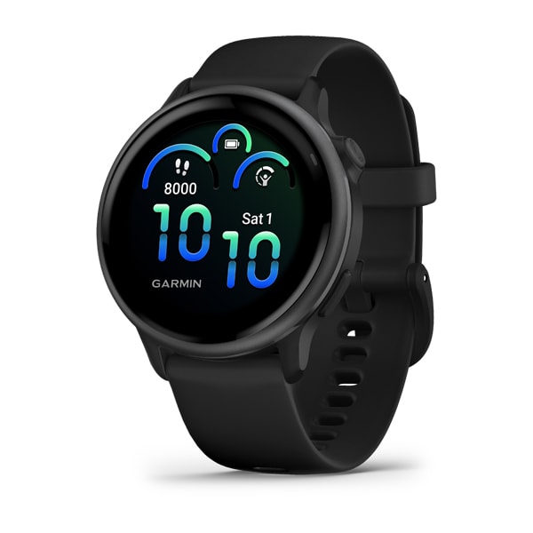
vívoactive® 6
$549.00 Add to cartOverview
PLAY MORE. CHARGE LESS.
KNOW YOUR BODY BETTER
GET FIT WITH IT
ALL YOUR STATS. IN ONE PLACE.
IT’S ALL IN THE WRIST
UNDERSTAND YOUR BODY BETTER
Featuring a bright, colourful display, up to 11 days of battery life, and purpose-built health and fitness features, the vívoactive 6 smartwatch gives you the tools and insights to help you know your body better.
BRIGHT AMOLED DISPLAY
UP TO 11 DAYS OF BATTERY LIFE
BODY BATTERY™ ENERGY MONITORING, SLEEP SCORE, STRESS TRACKING AND MORE
ADVANCED FITNESS FEATURES
SMART NOTIFICATIONS, GARMIN PAY™ CONTACTLESS PAYMENTS AND MUSIC STORAGE
SHOW US WHAT YOU’VE GOT. TAG @GARMIN ON INSTAGRAM.
BODY BATTERY ENERGY MONITORING
SLEEP COACH
BUILT-IN SPORTS APPS
Track the ways you move with more than 80 preloaded GPS and indoor sports apps — including walking, running, cycling, pool swimming, activities for wheelchair users and more.
WORKOUT OPTIONS
HEALTH AND WELLNESS
SMART NOTIFICATIONS AND TEXTING
Receive emails, texts and alerts on your watch when paired with your iPhone or Android smartphone. With an Android phone, respond to texts with the on-watch keyboard, and view photos sent to you directly from your watch’s screen.
HEALTH
HEALTH STATUS
Look for changes in your health data that could indicate added stress to your body, so you can know when you’re trending away from your usual range.
NAP DETECTION
Automatically track or log your naps to see how they benefit your body and the ideal time and duration they should be.
BREATHING VARIATIONS
LIFESTYLE LOGGING
Log behaviours — such as caffeine and alcohol intake — and view reports on how they impact your health in the Garmin Connect™ app.
NUTRITION IN THE GARMIN CONNECT™ APP
Easily track calories and macronutrients, get personalised nutrition recommendations and see reports to follow your progress toward your goals with a Garmin Connect+ plan.
SMART WAKE ALARM
The smart wake alarm gently vibrates to wake you at the right time.
HRV STATUS
MORNING REPORT
Receive an overview of your sleep, recovery, daily calendar, HRV status and more as soon as you wake up. You can even customise your reports theme, data shown and more.
EVENING REPORT
Prepare for tomorrow before bed with a reminder of sleep need, tomorrow’s workout, weather and events.
WRIST-BASED HEART RATE
STRESS TRACKING
WOMEN’S HEALTH TRACKING
HEALTH SNAPSHOT
PULSE OX SENSOR
MEDITATION
Help reduce stress, anxiety and more with guided meditation practices.
MINDFUL BREATHING
HYDRATION
RESPIRATION
FITNESS
STRENGTH TRAINING
Elevate your body’s performance with a built-in activity profile, targeted strength training plans, workouts and more. Plus, track reps, sets and even rest time.
MOBILITY
Increase your flexibility and strength with new downloadable mobility workouts and an activity profile.
Wheelchair mode
ANIMATED WORKOUTS
Improve your form with downloadable animated workouts from Garmin Connect for HIIT, cardio, strength, mobility, yoga and Pilates. Plus, get push and handcycle workouts for wheelchair users.
GARMIN FITNESS COACH
Reach your goals with Garmin Coach training plans for running, cycling, strength and fitness; some even adapt based on your health and fitness metrics.
RUNNING DYNAMICS
PACEPRO™ PACING STRATEGIES
Plan race-day strategy with GPS-based pace guidance for a selected course or distance.
WORKOUT BENEFIT AND RECOVERY TIME
Better understand how each workout affects your body and how much time you need to recover so you can take on any fitness challenge.
FITNESS AGE
WORKOUT CREATION
Create step-by-step workouts from more than 1,600 exercises in the Garmin Connect app, and send them directly to your watch.
RUCKING ACTIVITY
A dedicated rucking activity profile allows you to enter pack weight.
PERCEIVED EXERTION
Record your rate of perceived exertion after each workout.
INTENSITY MINUTES
ACTIVITY TRACKING
VO2 MAX
AUDIO PROMPTS FOR ACTIVITIES
Get guided audio prompts for run and walk activities.
INTERVAL CREATION
Build your own interval workout for running and cycling activities.
MOVE ALERTS
Get reminders to move your body, including a variety of movement options.
GOLF ACTIVITY
SEE YOUR CYCLING DATA
Connect with compatible cycling products, including Rally™ power meter pedals, to monitor performance and ride smarter, plus get haptic and voice alerts for approaching vehicles and more when paired with a Varia™ rearview radar.
CONNECT
GARMIN CONNECT APP
See your health and fitness information, connect with friends and more.
GARMIN PAY CONTACTLESS PAYMENTS
MUSIC STORAGE
WORKS WITH WHATSAPP
SAFETY AND TRACKING
SPORTS SCORES
Live data, schedules and standings for 15 different sports leagues when paired to your smartphone.
CONNECT IQ™ STORE
MULTIPLE FONT SIZES
Choose between multiple font sizes so you can view your data with ease.
COLOUR FILTERS
Get colour display options — including grey scale, red/green, green/red or blue/yellow — to assist with various forms of colour blindness.
WATCH FACE CUSTOMISATION
Choose from various watch faces with customisable data and colours. Even hear the data fields spoken from the watch face.
-

vívoactive® 6
$549.00 Add to cartOverview
PLAY MORE. CHARGE LESS.
KNOW YOUR BODY BETTER
GET FIT WITH IT
ALL YOUR STATS. IN ONE PLACE.
IT’S ALL IN THE WRIST
UNDERSTAND YOUR BODY BETTER
Featuring a bright, colourful display, up to 11 days of battery life, and purpose-built health and fitness features, the vívoactive 6 smartwatch gives you the tools and insights to help you know your body better.
BRIGHT AMOLED DISPLAY
UP TO 11 DAYS OF BATTERY LIFE
BODY BATTERY™ ENERGY MONITORING, SLEEP SCORE, STRESS TRACKING AND MORE
ADVANCED FITNESS FEATURES
SMART NOTIFICATIONS, GARMIN PAY™ CONTACTLESS PAYMENTS AND MUSIC STORAGE
SHOW US WHAT YOU’VE GOT. TAG @GARMIN ON INSTAGRAM.
BODY BATTERY ENERGY MONITORING
SLEEP COACH
BUILT-IN SPORTS APPS
Track the ways you move with more than 80 preloaded GPS and indoor sports apps — including walking, running, cycling, pool swimming, activities for wheelchair users and more.
WORKOUT OPTIONS
HEALTH AND WELLNESS
SMART NOTIFICATIONS AND TEXTING
Receive emails, texts and alerts on your watch when paired with your iPhone or Android smartphone. With an Android phone, respond to texts with the on-watch keyboard, and view photos sent to you directly from your watch’s screen.
HEALTH
HEALTH STATUS
Look for changes in your health data that could indicate added stress to your body, so you can know when you’re trending away from your usual range.
NAP DETECTION
Automatically track or log your naps to see how they benefit your body and the ideal time and duration they should be.
BREATHING VARIATIONS
LIFESTYLE LOGGING
Log behaviours — such as caffeine and alcohol intake — and view reports on how they impact your health in the Garmin Connect™ app.
NUTRITION IN THE GARMIN CONNECT™ APP
Easily track calories and macronutrients, get personalised nutrition recommendations and see reports to follow your progress toward your goals with a Garmin Connect+ plan.
SMART WAKE ALARM
The smart wake alarm gently vibrates to wake you at the right time.
HRV STATUS
MORNING REPORT
Receive an overview of your sleep, recovery, daily calendar, HRV status and more as soon as you wake up. You can even customise your reports theme, data shown and more.
EVENING REPORT
Prepare for tomorrow before bed with a reminder of sleep need, tomorrow’s workout, weather and events.
WRIST-BASED HEART RATE
STRESS TRACKING
WOMEN’S HEALTH TRACKING
HEALTH SNAPSHOT
PULSE OX SENSOR
MEDITATION
Help reduce stress, anxiety and more with guided meditation practices.
MINDFUL BREATHING
HYDRATION
RESPIRATION
FITNESS
STRENGTH TRAINING
Elevate your body’s performance with a built-in activity profile, targeted strength training plans, workouts and more. Plus, track reps, sets and even rest time.
MOBILITY
Increase your flexibility and strength with new downloadable mobility workouts and an activity profile.
Wheelchair mode
ANIMATED WORKOUTS
Improve your form with downloadable animated workouts from Garmin Connect for HIIT, cardio, strength, mobility, yoga and Pilates. Plus, get push and handcycle workouts for wheelchair users.
GARMIN FITNESS COACH
Reach your goals with Garmin Coach training plans for running, cycling, strength and fitness; some even adapt based on your health and fitness metrics.
RUNNING DYNAMICS
PACEPRO™ PACING STRATEGIES
Plan race-day strategy with GPS-based pace guidance for a selected course or distance.
WORKOUT BENEFIT AND RECOVERY TIME
Better understand how each workout affects your body and how much time you need to recover so you can take on any fitness challenge.
FITNESS AGE
WORKOUT CREATION
Create step-by-step workouts from more than 1,600 exercises in the Garmin Connect app, and send them directly to your watch.
RUCKING ACTIVITY
A dedicated rucking activity profile allows you to enter pack weight.
PERCEIVED EXERTION
Record your rate of perceived exertion after each workout.
INTENSITY MINUTES
ACTIVITY TRACKING
VO2 MAX
AUDIO PROMPTS FOR ACTIVITIES
Get guided audio prompts for run and walk activities.
INTERVAL CREATION
Build your own interval workout for running and cycling activities.
MOVE ALERTS
Get reminders to move your body, including a variety of movement options.
GOLF ACTIVITY
SEE YOUR CYCLING DATA
Connect with compatible cycling products, including Rally™ power meter pedals, to monitor performance and ride smarter, plus get haptic and voice alerts for approaching vehicles and more when paired with a Varia™ rearview radar.
CONNECT
GARMIN CONNECT APP
See your health and fitness information, connect with friends and more.
GARMIN PAY CONTACTLESS PAYMENTS
MUSIC STORAGE
WORKS WITH WHATSAPP
SAFETY AND TRACKING
SPORTS SCORES
Live data, schedules and standings for 15 different sports leagues when paired to your smartphone.
CONNECT IQ™ STORE
MULTIPLE FONT SIZES
Choose between multiple font sizes so you can view your data with ease.
COLOUR FILTERS
Get colour display options — including grey scale, red/green, green/red or blue/yellow — to assist with various forms of colour blindness.
WATCH FACE CUSTOMISATION
Choose from various watch faces with customisable data and colours. Even hear the data fields spoken from the watch face.
-

vívoactive® 6
$549.00 Add to cartOverview
PLAY MORE. CHARGE LESS.
KNOW YOUR BODY BETTER
GET FIT WITH IT
ALL YOUR STATS. IN ONE PLACE.
IT’S ALL IN THE WRIST
UNDERSTAND YOUR BODY BETTER
Featuring a bright, colourful display, up to 11 days of battery life, and purpose-built health and fitness features, the vívoactive 6 smartwatch gives you the tools and insights to help you know your body better.
BRIGHT AMOLED DISPLAY
UP TO 11 DAYS OF BATTERY LIFE
BODY BATTERY™ ENERGY MONITORING, SLEEP SCORE, STRESS TRACKING AND MORE
ADVANCED FITNESS FEATURES
SMART NOTIFICATIONS, GARMIN PAY™ CONTACTLESS PAYMENTS AND MUSIC STORAGE
SHOW US WHAT YOU’VE GOT. TAG @GARMIN ON INSTAGRAM.
BODY BATTERY ENERGY MONITORING
SLEEP COACH
BUILT-IN SPORTS APPS
Track the ways you move with more than 80 preloaded GPS and indoor sports apps — including walking, running, cycling, pool swimming, activities for wheelchair users and more.
WORKOUT OPTIONS
HEALTH AND WELLNESS
SMART NOTIFICATIONS AND TEXTING
Receive emails, texts and alerts on your watch when paired with your iPhone or Android smartphone. With an Android phone, respond to texts with the on-watch keyboard, and view photos sent to you directly from your watch’s screen.
HEALTH
HEALTH STATUS
Look for changes in your health data that could indicate added stress to your body, so you can know when you’re trending away from your usual range.
NAP DETECTION
Automatically track or log your naps to see how they benefit your body and the ideal time and duration they should be.
BREATHING VARIATIONS
LIFESTYLE LOGGING
Log behaviours — such as caffeine and alcohol intake — and view reports on how they impact your health in the Garmin Connect™ app.
NUTRITION IN THE GARMIN CONNECT™ APP
Easily track calories and macronutrients, get personalised nutrition recommendations and see reports to follow your progress toward your goals with a Garmin Connect+ plan.
SMART WAKE ALARM
The smart wake alarm gently vibrates to wake you at the right time.
HRV STATUS
MORNING REPORT
Receive an overview of your sleep, recovery, daily calendar, HRV status and more as soon as you wake up. You can even customise your reports theme, data shown and more.
EVENING REPORT
Prepare for tomorrow before bed with a reminder of sleep need, tomorrow’s workout, weather and events.
WRIST-BASED HEART RATE
STRESS TRACKING
WOMEN’S HEALTH TRACKING
HEALTH SNAPSHOT
PULSE OX SENSOR
MEDITATION
Help reduce stress, anxiety and more with guided meditation practices.
MINDFUL BREATHING
HYDRATION
RESPIRATION
FITNESS
STRENGTH TRAINING
Elevate your body’s performance with a built-in activity profile, targeted strength training plans, workouts and more. Plus, track reps, sets and even rest time.
MOBILITY
Increase your flexibility and strength with new downloadable mobility workouts and an activity profile.
Wheelchair mode
ANIMATED WORKOUTS
Improve your form with downloadable animated workouts from Garmin Connect for HIIT, cardio, strength, mobility, yoga and Pilates. Plus, get push and handcycle workouts for wheelchair users.
GARMIN FITNESS COACH
Reach your goals with Garmin Coach training plans for running, cycling, strength and fitness; some even adapt based on your health and fitness metrics.
RUNNING DYNAMICS
PACEPRO™ PACING STRATEGIES
Plan race-day strategy with GPS-based pace guidance for a selected course or distance.
WORKOUT BENEFIT AND RECOVERY TIME
Better understand how each workout affects your body and how much time you need to recover so you can take on any fitness challenge.
FITNESS AGE
WORKOUT CREATION
Create step-by-step workouts from more than 1,600 exercises in the Garmin Connect app, and send them directly to your watch.
RUCKING ACTIVITY
A dedicated rucking activity profile allows you to enter pack weight.
PERCEIVED EXERTION
Record your rate of perceived exertion after each workout.
INTENSITY MINUTES
ACTIVITY TRACKING
VO2 MAX
AUDIO PROMPTS FOR ACTIVITIES
Get guided audio prompts for run and walk activities.
INTERVAL CREATION
Build your own interval workout for running and cycling activities.
MOVE ALERTS
Get reminders to move your body, including a variety of movement options.
GOLF ACTIVITY
SEE YOUR CYCLING DATA
Connect with compatible cycling products, including Rally™ power meter pedals, to monitor performance and ride smarter, plus get haptic and voice alerts for approaching vehicles and more when paired with a Varia™ rearview radar.
CONNECT
GARMIN CONNECT APP
See your health and fitness information, connect with friends and more.
GARMIN PAY CONTACTLESS PAYMENTS
MUSIC STORAGE
WORKS WITH WHATSAPP
SAFETY AND TRACKING
SPORTS SCORES
Live data, schedules and standings for 15 different sports leagues when paired to your smartphone.
CONNECT IQ™ STORE
MULTIPLE FONT SIZES
Choose between multiple font sizes so you can view your data with ease.
COLOUR FILTERS
Get colour display options — including grey scale, red/green, green/red or blue/yellow — to assist with various forms of colour blindness.
WATCH FACE CUSTOMISATION
Choose from various watch faces with customisable data and colours. Even hear the data fields spoken from the watch face.
-

vívoactive® 6
$549.00 Add to cartOverview
PLAY MORE. CHARGE LESS.
KNOW YOUR BODY BETTER
GET FIT WITH IT
ALL YOUR STATS. IN ONE PLACE.
IT’S ALL IN THE WRIST
UNDERSTAND YOUR BODY BETTER
Featuring a bright, colourful display, up to 11 days of battery life, and purpose-built health and fitness features, the vívoactive 6 smartwatch gives you the tools and insights to help you know your body better.
BRIGHT AMOLED DISPLAY
UP TO 11 DAYS OF BATTERY LIFE
BODY BATTERY™ ENERGY MONITORING, SLEEP SCORE, STRESS TRACKING AND MORE
ADVANCED FITNESS FEATURES
SMART NOTIFICATIONS, GARMIN PAY™ CONTACTLESS PAYMENTS AND MUSIC STORAGE
SHOW US WHAT YOU’VE GOT. TAG @GARMIN ON INSTAGRAM.
BODY BATTERY ENERGY MONITORING
SLEEP COACH
BUILT-IN SPORTS APPS
Track the ways you move with more than 80 preloaded GPS and indoor sports apps — including walking, running, cycling, pool swimming, activities for wheelchair users and more.
WORKOUT OPTIONS
HEALTH AND WELLNESS
SMART NOTIFICATIONS AND TEXTING
Receive emails, texts and alerts on your watch when paired with your iPhone or Android smartphone. With an Android phone, respond to texts with the on-watch keyboard, and view photos sent to you directly from your watch’s screen.
HEALTH
HEALTH STATUS
Look for changes in your health data that could indicate added stress to your body, so you can know when you’re trending away from your usual range.
NAP DETECTION
Automatically track or log your naps to see how they benefit your body and the ideal time and duration they should be.
BREATHING VARIATIONS
LIFESTYLE LOGGING
Log behaviours — such as caffeine and alcohol intake — and view reports on how they impact your health in the Garmin Connect™ app.
NUTRITION IN THE GARMIN CONNECT™ APP
Easily track calories and macronutrients, get personalised nutrition recommendations and see reports to follow your progress toward your goals with a Garmin Connect+ plan.
SMART WAKE ALARM
The smart wake alarm gently vibrates to wake you at the right time.
HRV STATUS
MORNING REPORT
Receive an overview of your sleep, recovery, daily calendar, HRV status and more as soon as you wake up. You can even customise your reports theme, data shown and more.
EVENING REPORT
Prepare for tomorrow before bed with a reminder of sleep need, tomorrow’s workout, weather and events.
WRIST-BASED HEART RATE
STRESS TRACKING
WOMEN’S HEALTH TRACKING
HEALTH SNAPSHOT
PULSE OX SENSOR
MEDITATION
Help reduce stress, anxiety and more with guided meditation practices.
MINDFUL BREATHING
HYDRATION
RESPIRATION
FITNESS
STRENGTH TRAINING
Elevate your body’s performance with a built-in activity profile, targeted strength training plans, workouts and more. Plus, track reps, sets and even rest time.
MOBILITY
Increase your flexibility and strength with new downloadable mobility workouts and an activity profile.
Wheelchair mode
ANIMATED WORKOUTS
Improve your form with downloadable animated workouts from Garmin Connect for HIIT, cardio, strength, mobility, yoga and Pilates. Plus, get push and handcycle workouts for wheelchair users.
GARMIN FITNESS COACH
Reach your goals with Garmin Coach training plans for running, cycling, strength and fitness; some even adapt based on your health and fitness metrics.
RUNNING DYNAMICS
PACEPRO™ PACING STRATEGIES
Plan race-day strategy with GPS-based pace guidance for a selected course or distance.
WORKOUT BENEFIT AND RECOVERY TIME
Better understand how each workout affects your body and how much time you need to recover so you can take on any fitness challenge.
FITNESS AGE
WORKOUT CREATION
Create step-by-step workouts from more than 1,600 exercises in the Garmin Connect app, and send them directly to your watch.
RUCKING ACTIVITY
A dedicated rucking activity profile allows you to enter pack weight.
PERCEIVED EXERTION
Record your rate of perceived exertion after each workout.
INTENSITY MINUTES
ACTIVITY TRACKING
VO2 MAX
AUDIO PROMPTS FOR ACTIVITIES
Get guided audio prompts for run and walk activities.
INTERVAL CREATION
Build your own interval workout for running and cycling activities.
MOVE ALERTS
Get reminders to move your body, including a variety of movement options.
GOLF ACTIVITY
SEE YOUR CYCLING DATA
Connect with compatible cycling products, including Rally™ power meter pedals, to monitor performance and ride smarter, plus get haptic and voice alerts for approaching vehicles and more when paired with a Varia™ rearview radar.
CONNECT
GARMIN CONNECT APP
See your health and fitness information, connect with friends and more.
GARMIN PAY CONTACTLESS PAYMENTS
MUSIC STORAGE
WORKS WITH WHATSAPP
SAFETY AND TRACKING
SPORTS SCORES
Live data, schedules and standings for 15 different sports leagues when paired to your smartphone.
CONNECT IQ™ STORE
MULTIPLE FONT SIZES
Choose between multiple font sizes so you can view your data with ease.
COLOUR FILTERS
Get colour display options — including grey scale, red/green, green/red or blue/yellow — to assist with various forms of colour blindness.
WATCH FACE CUSTOMISATION
Choose from various watch faces with customisable data and colours. Even hear the data fields spoken from the watch face.
-

Venu® 4 – 41 mm
$949.00 Add to cartOverview
SERVE LOOKS
LIGHT UP YOUR LIFE
UNDERSTAND YOUR HEALTH LIKE NEVER BEFORE
PUSH YOUR PASSIONS
STRETCH OUT CHARGES
DISCOVER A HEALTHIER YOU
Purpose-built with advanced health and fitness features, the Venu 4 GPS smartwatch is your on-wrist support to help you better understand your body and make healthier decisions.
BRIGHT, COLOURFUL 1.4″ AMOLED DISPLAY
UP TO 12 DAYS OF BATTERY LIFE IN SMARTWATCH MODE
ADVANCED HEALTH AND FITNESS FEATURES
LIGHTWEIGHT 45 MM CASE WITH METAL DESIGN
BRIGHT LED FLASHLIGHT
SHOW US WHAT YOU’VE GOT. TAG @GARMIN ON INSTAGRAM.
24/7 HEALTH MONITORING
ADVANCED SLEEP TRACKING
HEALTH STATUS
WORKOUT OPTIONS
LIFESTYLE LOGGING
EVERYDAY UTILITY
A bright LED flashlight provides convenient illumination when you need it. Make and take phone calls from your wrist when your watch is paired to your smartphone. You can even control watch functions with voice commands — or use your smartphone’s voice assistant to respond to text messages and more.
HEALTH
BODY BATTERY ENERGY MONITORING
See your energy levels throughout the day, so you’ll know when your body is charged up or needs to rest.
HRV STATUS
Gain a deeper understanding of your overall health through heart rate variability while you sleep.
GARMIN ECG APP
SMART WAKE ALARM
Wake up more refreshed. The smart wake alarm gently wakes you at the optimal time.
MORNING REPORT
Receive and customise an overview of your sleep, recovery, daily calendar, HRV status and more as soon as you wake up.
EVENING REPORT
Prepare for tomorrow before bed with a reminder of sleep need, tomorrow's workout, weather and events.
WRIST-BASED HEART RATE
WOMEN'S HEALTH TRACKING
NUTRITION IN THE GARMIN CONNECT™ APP
Easily track calories and macronutrients, get personalised nutrition recommendations and see reports to follow your progress toward your goals with a Garmin Connect+ plan.
HEALTH SNAPSHOT
BREATHING VARIATIONS
MEDITATION
Help reduce stress, anxiety and more with voice guided meditation practices.
JET LAG ADVISER
FITNESS
WORKOUT BENEFIT AND RECOVERY TIME
Better understand how each workout affects your body and how much time you need to recover.
TRAINING READINESS
TRAINING STATUS
FITNESS AGE
Wheelchair mode
STRENGTH TRAINING
Elevate your performance with a built-in activity profile, targeted strength training plans, workouts and more. You can also track reps, sets and even rest time.
WORKOUT CREATION
Create step-by-step workouts from more than 1,600 exercises in the Garmin Connect app, and send them directly to your watch.
ANIMATED ON-SCREEN WORKOUTS
Improve your form with downloadable animated workouts from Garmin Connect for HIIT, cardio, strength, yoga , mobility and Pilates.
MIXED SESSION
Track multiple activities in one session. Just choose one activity, press stop, then move to the next.
GOLF ACTIVITY
SEE YOUR CYCLING DATA
Connect with compatible cycling products, including Rally™ power meter pedals, to monitor performance and ride smarter, plus get haptic and voice alerts for approaching vehicles and more when paired with a Varia™ rearview radar.
RUNNING AND TRIATHLON
MULTI-BAND GPS
Get superior positioning accuracy and optimised battery life with SatIQ™ technology.
WRIST-BASED RUNNING DYNAMICS
View crucial running metrics such as cadence, stride length, ground contact time and more to help improve your running form.
WRIST-BASED RUNNING POWER
See how much power you're applying during your run so you can manage effort and fine-tune your training.
Courses
TRACK RUNNING
Your watch will record accurate lap distances in meters on tracks all over the world.
PACEPRO™ PACING STRATEGIES
TRIATHLON AND MULTISPORT
Automatically record splits with built-in profiles for triathlons, duathlons, brick workouts and swimruns. Or you can create your own.
RUCKING ACTIVITY
A dedicated rucking activity profile allows you to enter pack weight.
CONNECT
GARMIN CONNECT APP
See your health and fitness information, connect with friends and more.
CONNECT IQ™ STORE
SMART NOTIFICATIONS
Receive emails, texts and alerts on your watch when paired with your iPhone or Android smartphone.
ON-WRIST TEXTING
WORKS WITH WHATSAPP
VIEW PHOTOS
With an Android phone, view photos sent to you directly from your watch's screen.
MUSIC
Download songs plus playlists from your Spotify, Deezer or Amazon Music accounts for phone-free listening (subscription required).
GARMIN PAY™ CONTACTLESS PAYMENTS
SAFETY AND TRACKING
SPORTS SCORES
Live data, schedules and standings for 15 different sports leagues when paired to your smartphone.
GARMIN SHARE
Easily share saved locations, courses and workouts with friends' compatible Garmin devices.
GOOGLE MAPS™ APP
Know where to go when walking, running or cycling. Enter your destination in Google Maps on your Android™ smartphone, then follow turn-by-turn directions on your wrist.
CONVENIENCE
WATCH FACE CUSTOMISATION
Choose from various watch faces with customisable data and colours. Even hear the data fields spoken from the watch face.
FONT SIZES
Change text size for easy readability.
COLOUR SHIFT
Change the watch display to shades of red, green or orange — or even use the blue light filter — to preserve your night vision and reduce sleep cycle disturbances.
COLOUR FILTERS
Get colour display options — including gray scale, red/green, green/red or blue/yellow — to assist with various forms of colour blindness.
TIMER AND STOPWATCH
We didn't forget about the practical features you need for everyday life.
FOCUS MODES
Automatically silence notifications and distractions during sleep or activities. Plus, customise modes to fit your needs.
CALENDAR
See upcoming appointments and meetings from your paired smartphone's calendar.
-

Venu® 4 – 41 mm
$949.00 Add to cartOverview
SERVE LOOKS
LIGHT UP YOUR LIFE
UNDERSTAND YOUR HEALTH LIKE NEVER BEFORE
PUSH YOUR PASSIONS
STRETCH OUT CHARGES
DISCOVER A HEALTHIER YOU
Purpose-built with advanced health and fitness features, the Venu 4 GPS smartwatch is your on-wrist support to help you better understand your body and make healthier decisions.
BRIGHT, COLOURFUL 1.4″ AMOLED DISPLAY
UP TO 12 DAYS OF BATTERY LIFE IN SMARTWATCH MODE
ADVANCED HEALTH AND FITNESS FEATURES
LIGHTWEIGHT 45 MM CASE WITH METAL DESIGN
BRIGHT LED FLASHLIGHT
SHOW US WHAT YOU’VE GOT. TAG @GARMIN ON INSTAGRAM.
24/7 HEALTH MONITORING
ADVANCED SLEEP TRACKING
HEALTH STATUS
WORKOUT OPTIONS
LIFESTYLE LOGGING
EVERYDAY UTILITY
A bright LED flashlight provides convenient illumination when you need it. Make and take phone calls from your wrist when your watch is paired to your smartphone. You can even control watch functions with voice commands — or use your smartphone’s voice assistant to respond to text messages and more.
HEALTH
BODY BATTERY ENERGY MONITORING
See your energy levels throughout the day, so you’ll know when your body is charged up or needs to rest.
HRV STATUS
Gain a deeper understanding of your overall health through heart rate variability while you sleep.
GARMIN ECG APP
SMART WAKE ALARM
Wake up more refreshed. The smart wake alarm gently wakes you at the optimal time.
MORNING REPORT
Receive and customise an overview of your sleep, recovery, daily calendar, HRV status and more as soon as you wake up.
EVENING REPORT
Prepare for tomorrow before bed with a reminder of sleep need, tomorrow's workout, weather and events.
WRIST-BASED HEART RATE
WOMEN'S HEALTH TRACKING
NUTRITION IN THE GARMIN CONNECT™ APP
Easily track calories and macronutrients, get personalised nutrition recommendations and see reports to follow your progress toward your goals with a Garmin Connect+ plan.
HEALTH SNAPSHOT
BREATHING VARIATIONS
MEDITATION
Help reduce stress, anxiety and more with voice guided meditation practices.
JET LAG ADVISER
FITNESS
WORKOUT BENEFIT AND RECOVERY TIME
Better understand how each workout affects your body and how much time you need to recover.
TRAINING READINESS
TRAINING STATUS
FITNESS AGE
Wheelchair mode
STRENGTH TRAINING
Elevate your performance with a built-in activity profile, targeted strength training plans, workouts and more. You can also track reps, sets and even rest time.
WORKOUT CREATION
Create step-by-step workouts from more than 1,600 exercises in the Garmin Connect app, and send them directly to your watch.
ANIMATED ON-SCREEN WORKOUTS
Improve your form with downloadable animated workouts from Garmin Connect for HIIT, cardio, strength, yoga , mobility and Pilates.
MIXED SESSION
Track multiple activities in one session. Just choose one activity, press stop, then move to the next.
GOLF ACTIVITY
SEE YOUR CYCLING DATA
Connect with compatible cycling products, including Rally™ power meter pedals, to monitor performance and ride smarter, plus get haptic and voice alerts for approaching vehicles and more when paired with a Varia™ rearview radar.
RUNNING AND TRIATHLON
MULTI-BAND GPS
Get superior positioning accuracy and optimised battery life with SatIQ™ technology.
WRIST-BASED RUNNING DYNAMICS
View crucial running metrics such as cadence, stride length, ground contact time and more to help improve your running form.
WRIST-BASED RUNNING POWER
See how much power you're applying during your run so you can manage effort and fine-tune your training.
Courses
TRACK RUNNING
Your watch will record accurate lap distances in meters on tracks all over the world.
PACEPRO™ PACING STRATEGIES
TRIATHLON AND MULTISPORT
Automatically record splits with built-in profiles for triathlons, duathlons, brick workouts and swimruns. Or you can create your own.
RUCKING ACTIVITY
A dedicated rucking activity profile allows you to enter pack weight.
CONNECT
GARMIN CONNECT APP
See your health and fitness information, connect with friends and more.
CONNECT IQ™ STORE
SMART NOTIFICATIONS
Receive emails, texts and alerts on your watch when paired with your iPhone or Android smartphone.
ON-WRIST TEXTING
WORKS WITH WHATSAPP
VIEW PHOTOS
With an Android phone, view photos sent to you directly from your watch's screen.
MUSIC
Download songs plus playlists from your Spotify, Deezer or Amazon Music accounts for phone-free listening (subscription required).
GARMIN PAY™ CONTACTLESS PAYMENTS
SAFETY AND TRACKING
SPORTS SCORES
Live data, schedules and standings for 15 different sports leagues when paired to your smartphone.
GARMIN SHARE
Easily share saved locations, courses and workouts with friends' compatible Garmin devices.
GOOGLE MAPS™ APP
Know where to go when walking, running or cycling. Enter your destination in Google Maps on your Android™ smartphone, then follow turn-by-turn directions on your wrist.
CONVENIENCE
WATCH FACE CUSTOMISATION
Choose from various watch faces with customisable data and colours. Even hear the data fields spoken from the watch face.
FONT SIZES
Change text size for easy readability.
COLOUR SHIFT
Change the watch display to shades of red, green or orange — or even use the blue light filter — to preserve your night vision and reduce sleep cycle disturbances.
COLOUR FILTERS
Get colour display options — including gray scale, red/green, green/red or blue/yellow — to assist with various forms of colour blindness.
TIMER AND STOPWATCH
We didn't forget about the practical features you need for everyday life.
FOCUS MODES
Automatically silence notifications and distractions during sleep or activities. Plus, customise modes to fit your needs.
CALENDAR
See upcoming appointments and meetings from your paired smartphone's calendar.
-

Venu® 4 – 41 mm
$949.00 Add to cartOverview
SERVE LOOKS
LIGHT UP YOUR LIFE
UNDERSTAND YOUR HEALTH LIKE NEVER BEFORE
PUSH YOUR PASSIONS
STRETCH OUT CHARGES
DISCOVER A HEALTHIER YOU
Purpose-built with advanced health and fitness features, the Venu 4 GPS smartwatch is your on-wrist support to help you better understand your body and make healthier decisions.
BRIGHT, COLOURFUL 1.4″ AMOLED DISPLAY
UP TO 12 DAYS OF BATTERY LIFE IN SMARTWATCH MODE
ADVANCED HEALTH AND FITNESS FEATURES
LIGHTWEIGHT 45 MM CASE WITH METAL DESIGN
BRIGHT LED FLASHLIGHT
SHOW US WHAT YOU’VE GOT. TAG @GARMIN ON INSTAGRAM.
24/7 HEALTH MONITORING
ADVANCED SLEEP TRACKING
HEALTH STATUS
WORKOUT OPTIONS
LIFESTYLE LOGGING
EVERYDAY UTILITY
A bright LED flashlight provides convenient illumination when you need it. Make and take phone calls from your wrist when your watch is paired to your smartphone. You can even control watch functions with voice commands — or use your smartphone’s voice assistant to respond to text messages and more.
HEALTH
BODY BATTERY ENERGY MONITORING
See your energy levels throughout the day, so you’ll know when your body is charged up or needs to rest.
HRV STATUS
Gain a deeper understanding of your overall health through heart rate variability while you sleep.
GARMIN ECG APP
SMART WAKE ALARM
Wake up more refreshed. The smart wake alarm gently wakes you at the optimal time.
MORNING REPORT
Receive and customise an overview of your sleep, recovery, daily calendar, HRV status and more as soon as you wake up.
EVENING REPORT
Prepare for tomorrow before bed with a reminder of sleep need, tomorrow's workout, weather and events.
WRIST-BASED HEART RATE
WOMEN'S HEALTH TRACKING
NUTRITION IN THE GARMIN CONNECT™ APP
Easily track calories and macronutrients, get personalised nutrition recommendations and see reports to follow your progress toward your goals with a Garmin Connect+ plan.
HEALTH SNAPSHOT
BREATHING VARIATIONS
MEDITATION
Help reduce stress, anxiety and more with voice guided meditation practices.
JET LAG ADVISER
FITNESS
WORKOUT BENEFIT AND RECOVERY TIME
Better understand how each workout affects your body and how much time you need to recover.
TRAINING READINESS
TRAINING STATUS
FITNESS AGE
Wheelchair mode
STRENGTH TRAINING
Elevate your performance with a built-in activity profile, targeted strength training plans, workouts and more. You can also track reps, sets and even rest time.
WORKOUT CREATION
Create step-by-step workouts from more than 1,600 exercises in the Garmin Connect app, and send them directly to your watch.
ANIMATED ON-SCREEN WORKOUTS
Improve your form with downloadable animated workouts from Garmin Connect for HIIT, cardio, strength, yoga , mobility and Pilates.
MIXED SESSION
Track multiple activities in one session. Just choose one activity, press stop, then move to the next.
GOLF ACTIVITY
SEE YOUR CYCLING DATA
Connect with compatible cycling products, including Rally™ power meter pedals, to monitor performance and ride smarter, plus get haptic and voice alerts for approaching vehicles and more when paired with a Varia™ rearview radar.
RUNNING AND TRIATHLON
MULTI-BAND GPS
Get superior positioning accuracy and optimised battery life with SatIQ™ technology.
WRIST-BASED RUNNING DYNAMICS
View crucial running metrics such as cadence, stride length, ground contact time and more to help improve your running form.
WRIST-BASED RUNNING POWER
See how much power you're applying during your run so you can manage effort and fine-tune your training.
Courses
TRACK RUNNING
Your watch will record accurate lap distances in meters on tracks all over the world.
PACEPRO™ PACING STRATEGIES
TRIATHLON AND MULTISPORT
Automatically record splits with built-in profiles for triathlons, duathlons, brick workouts and swimruns. Or you can create your own.
RUCKING ACTIVITY
A dedicated rucking activity profile allows you to enter pack weight.
CONNECT
GARMIN CONNECT APP
See your health and fitness information, connect with friends and more.
CONNECT IQ™ STORE
SMART NOTIFICATIONS
Receive emails, texts and alerts on your watch when paired with your iPhone or Android smartphone.
ON-WRIST TEXTING
WORKS WITH WHATSAPP
VIEW PHOTOS
With an Android phone, view photos sent to you directly from your watch's screen.
MUSIC
Download songs plus playlists from your Spotify, Deezer or Amazon Music accounts for phone-free listening (subscription required).
GARMIN PAY™ CONTACTLESS PAYMENTS
SAFETY AND TRACKING
SPORTS SCORES
Live data, schedules and standings for 15 different sports leagues when paired to your smartphone.
GARMIN SHARE
Easily share saved locations, courses and workouts with friends' compatible Garmin devices.
GOOGLE MAPS™ APP
Know where to go when walking, running or cycling. Enter your destination in Google Maps on your Android™ smartphone, then follow turn-by-turn directions on your wrist.
CONVENIENCE
WATCH FACE CUSTOMISATION
Choose from various watch faces with customisable data and colours. Even hear the data fields spoken from the watch face.
FONT SIZES
Change text size for easy readability.
COLOUR SHIFT
Change the watch display to shades of red, green or orange — or even use the blue light filter — to preserve your night vision and reduce sleep cycle disturbances.
COLOUR FILTERS
Get colour display options — including gray scale, red/green, green/red or blue/yellow — to assist with various forms of colour blindness.
TIMER AND STOPWATCH
We didn't forget about the practical features you need for everyday life.
FOCUS MODES
Automatically silence notifications and distractions during sleep or activities. Plus, customise modes to fit your needs.
CALENDAR
See upcoming appointments and meetings from your paired smartphone's calendar.
-

Venu® 4 – 45 mm
$949.00 Add to cartOverview
SERVE LOOKS
LIGHT UP YOUR LIFE
UNDERSTAND YOUR HEALTH LIKE NEVER BEFORE
PUSH YOUR PASSIONS
STRETCH OUT CHARGES
DISCOVER A HEALTHIER YOU
Purpose-built with advanced health and fitness features, the Venu 4 GPS smartwatch is your on-wrist support to help you better understand your body and make healthier decisions.
BRIGHT, COLOURFUL 1.4″ AMOLED DISPLAY
UP TO 12 DAYS OF BATTERY LIFE IN SMARTWATCH MODE
ADVANCED HEALTH AND FITNESS FEATURES
LIGHTWEIGHT 45 MM CASE WITH METAL DESIGN
BRIGHT LED FLASHLIGHT
SHOW US WHAT YOU’VE GOT. TAG @GARMIN ON INSTAGRAM.
24/7 HEALTH MONITORING
ADVANCED SLEEP TRACKING
HEALTH STATUS
WORKOUT OPTIONS
LIFESTYLE LOGGING
EVERYDAY UTILITY
A bright LED flashlight provides convenient illumination when you need it. Make and take phone calls from your wrist when your watch is paired to your smartphone. You can even control watch functions with voice commands — or use your smartphone’s voice assistant to respond to text messages and more.
HEALTH
BODY BATTERY ENERGY MONITORING
See your energy levels throughout the day, so you’ll know when your body is charged up or needs to rest.
HRV STATUS
Gain a deeper understanding of your overall health through heart rate variability while you sleep.
GARMIN ECG APP
SMART WAKE ALARM
Wake up more refreshed. The smart wake alarm gently wakes you at the optimal time.
MORNING REPORT
Receive and customise an overview of your sleep, recovery, daily calendar, HRV status and more as soon as you wake up.
EVENING REPORT
Prepare for tomorrow before bed with a reminder of sleep need, tomorrow's workout, weather and events.
WRIST-BASED HEART RATE
WOMEN'S HEALTH TRACKING
NUTRITION IN THE GARMIN CONNECT™ APP
Easily track calories and macronutrients, get personalised nutrition recommendations and see reports to follow your progress toward your goals with a Garmin Connect+ plan.
HEALTH SNAPSHOT
BREATHING VARIATIONS
MEDITATION
Help reduce stress, anxiety and more with voice guided meditation practices.
JET LAG ADVISER
FITNESS
WORKOUT BENEFIT AND RECOVERY TIME
Better understand how each workout affects your body and how much time you need to recover.
TRAINING READINESS
TRAINING STATUS
FITNESS AGE
Wheelchair mode
STRENGTH TRAINING
Elevate your performance with a built-in activity profile, targeted strength training plans, workouts and more. You can also track reps, sets and even rest time.
WORKOUT CREATION
Create step-by-step workouts from more than 1,600 exercises in the Garmin Connect app, and send them directly to your watch.
ANIMATED ON-SCREEN WORKOUTS
Improve your form with downloadable animated workouts from Garmin Connect for HIIT, cardio, strength, yoga , mobility and Pilates.
MIXED SESSION
Track multiple activities in one session. Just choose one activity, press stop, then move to the next.
GOLF ACTIVITY
SEE YOUR CYCLING DATA
Connect with compatible cycling products, including Rally™ power meter pedals, to monitor performance and ride smarter, plus get haptic and voice alerts for approaching vehicles and more when paired with a Varia™ rearview radar.
RUNNING AND TRIATHLON
MULTI-BAND GPS
Get superior positioning accuracy and optimised battery life with SatIQ™ technology.
WRIST-BASED RUNNING DYNAMICS
View crucial running metrics such as cadence, stride length, ground contact time and more to help improve your running form.
WRIST-BASED RUNNING POWER
See how much power you're applying during your run so you can manage effort and fine-tune your training.
Courses
TRACK RUNNING
Your watch will record accurate lap distances in meters on tracks all over the world.
PACEPRO™ PACING STRATEGIES
TRIATHLON AND MULTISPORT
Automatically record splits with built-in profiles for triathlons, duathlons, brick workouts and swimruns. Or you can create your own.
RUCKING ACTIVITY
A dedicated rucking activity profile allows you to enter pack weight.
CONNECT
GARMIN CONNECT APP
See your health and fitness information, connect with friends and more.
CONNECT IQ™ STORE
SMART NOTIFICATIONS
Receive emails, texts and alerts on your watch when paired with your iPhone or Android smartphone.
ON-WRIST TEXTING
WORKS WITH WHATSAPP
VIEW PHOTOS
With an Android phone, view photos sent to you directly from your watch's screen.
MUSIC
Download songs plus playlists from your Spotify, Deezer or Amazon Music accounts for phone-free listening (subscription required).
GARMIN PAY™ CONTACTLESS PAYMENTS
SAFETY AND TRACKING
SPORTS SCORES
Live data, schedules and standings for 15 different sports leagues when paired to your smartphone.
GARMIN SHARE
Easily share saved locations, courses and workouts with friends' compatible Garmin devices.
GOOGLE MAPS™ APP
Know where to go when walking, running or cycling. Enter your destination in Google Maps on your Android™ smartphone, then follow turn-by-turn directions on your wrist.
CONVENIENCE
WATCH FACE CUSTOMISATION
Choose from various watch faces with customisable data and colours. Even hear the data fields spoken from the watch face.
FONT SIZES
Change text size for easy readability.
COLOUR SHIFT
Change the watch display to shades of red, green or orange — or even use the blue light filter — to preserve your night vision and reduce sleep cycle disturbances.
COLOUR FILTERS
Get colour display options — including gray scale, red/green, green/red or blue/yellow — to assist with various forms of colour blindness.
TIMER AND STOPWATCH
We didn't forget about the practical features you need for everyday life.
FOCUS MODES
Automatically silence notifications and distractions during sleep or activities. Plus, customise modes to fit your needs.
CALENDAR
See upcoming appointments and meetings from your paired smartphone's calendar.
-

Venu® 4 – 45 mm
$949.00 Add to cartOverview
SERVE LOOKS
LIGHT UP YOUR LIFE
UNDERSTAND YOUR HEALTH LIKE NEVER BEFORE
PUSH YOUR PASSIONS
STRETCH OUT CHARGES
DISCOVER A HEALTHIER YOU
Purpose-built with advanced health and fitness features, the Venu 4 GPS smartwatch is your on-wrist support to help you better understand your body and make healthier decisions.
BRIGHT, COLOURFUL 1.4″ AMOLED DISPLAY
UP TO 12 DAYS OF BATTERY LIFE IN SMARTWATCH MODE
ADVANCED HEALTH AND FITNESS FEATURES
LIGHTWEIGHT 45 MM CASE WITH METAL DESIGN
BRIGHT LED FLASHLIGHT
SHOW US WHAT YOU’VE GOT. TAG @GARMIN ON INSTAGRAM.
24/7 HEALTH MONITORING
ADVANCED SLEEP TRACKING
HEALTH STATUS
WORKOUT OPTIONS
LIFESTYLE LOGGING
EVERYDAY UTILITY
A bright LED flashlight provides convenient illumination when you need it. Make and take phone calls from your wrist when your watch is paired to your smartphone. You can even control watch functions with voice commands — or use your smartphone’s voice assistant to respond to text messages and more.
HEALTH
BODY BATTERY ENERGY MONITORING
See your energy levels throughout the day, so you’ll know when your body is charged up or needs to rest.
HRV STATUS
Gain a deeper understanding of your overall health through heart rate variability while you sleep.
GARMIN ECG APP
SMART WAKE ALARM
Wake up more refreshed. The smart wake alarm gently wakes you at the optimal time.
MORNING REPORT
Receive and customise an overview of your sleep, recovery, daily calendar, HRV status and more as soon as you wake up.
EVENING REPORT
Prepare for tomorrow before bed with a reminder of sleep need, tomorrow's workout, weather and events.
WRIST-BASED HEART RATE
WOMEN'S HEALTH TRACKING
NUTRITION IN THE GARMIN CONNECT™ APP
Easily track calories and macronutrients, get personalised nutrition recommendations and see reports to follow your progress toward your goals with a Garmin Connect+ plan.
HEALTH SNAPSHOT
BREATHING VARIATIONS
MEDITATION
Help reduce stress, anxiety and more with voice guided meditation practices.
JET LAG ADVISER
FITNESS
WORKOUT BENEFIT AND RECOVERY TIME
Better understand how each workout affects your body and how much time you need to recover.
TRAINING READINESS
TRAINING STATUS
FITNESS AGE
Wheelchair mode
STRENGTH TRAINING
Elevate your performance with a built-in activity profile, targeted strength training plans, workouts and more. You can also track reps, sets and even rest time.
WORKOUT CREATION
Create step-by-step workouts from more than 1,600 exercises in the Garmin Connect app, and send them directly to your watch.
ANIMATED ON-SCREEN WORKOUTS
Improve your form with downloadable animated workouts from Garmin Connect for HIIT, cardio, strength, yoga , mobility and Pilates.
MIXED SESSION
Track multiple activities in one session. Just choose one activity, press stop, then move to the next.
GOLF ACTIVITY
SEE YOUR CYCLING DATA
Connect with compatible cycling products, including Rally™ power meter pedals, to monitor performance and ride smarter, plus get haptic and voice alerts for approaching vehicles and more when paired with a Varia™ rearview radar.
RUNNING AND TRIATHLON
MULTI-BAND GPS
Get superior positioning accuracy and optimised battery life with SatIQ™ technology.
WRIST-BASED RUNNING DYNAMICS
View crucial running metrics such as cadence, stride length, ground contact time and more to help improve your running form.
WRIST-BASED RUNNING POWER
See how much power you're applying during your run so you can manage effort and fine-tune your training.
Courses
TRACK RUNNING
Your watch will record accurate lap distances in meters on tracks all over the world.
PACEPRO™ PACING STRATEGIES
TRIATHLON AND MULTISPORT
Automatically record splits with built-in profiles for triathlons, duathlons, brick workouts and swimruns. Or you can create your own.
RUCKING ACTIVITY
A dedicated rucking activity profile allows you to enter pack weight.
CONNECT
GARMIN CONNECT APP
See your health and fitness information, connect with friends and more.
CONNECT IQ™ STORE
SMART NOTIFICATIONS
Receive emails, texts and alerts on your watch when paired with your iPhone or Android smartphone.
ON-WRIST TEXTING
WORKS WITH WHATSAPP
VIEW PHOTOS
With an Android phone, view photos sent to you directly from your watch's screen.
MUSIC
Download songs plus playlists from your Spotify, Deezer or Amazon Music accounts for phone-free listening (subscription required).
GARMIN PAY™ CONTACTLESS PAYMENTS
SAFETY AND TRACKING
SPORTS SCORES
Live data, schedules and standings for 15 different sports leagues when paired to your smartphone.
GARMIN SHARE
Easily share saved locations, courses and workouts with friends' compatible Garmin devices.
GOOGLE MAPS™ APP
Know where to go when walking, running or cycling. Enter your destination in Google Maps on your Android™ smartphone, then follow turn-by-turn directions on your wrist.
CONVENIENCE
WATCH FACE CUSTOMISATION
Choose from various watch faces with customisable data and colours. Even hear the data fields spoken from the watch face.
FONT SIZES
Change text size for easy readability.
COLOUR SHIFT
Change the watch display to shades of red, green or orange — or even use the blue light filter — to preserve your night vision and reduce sleep cycle disturbances.
COLOUR FILTERS
Get colour display options — including gray scale, red/green, green/red or blue/yellow — to assist with various forms of colour blindness.
TIMER AND STOPWATCH
We didn't forget about the practical features you need for everyday life.
FOCUS MODES
Automatically silence notifications and distractions during sleep or activities. Plus, customise modes to fit your needs.
CALENDAR
See upcoming appointments and meetings from your paired smartphone's calendar.
-

Venu® 4 – 45 mm
$949.00 Add to cartOverview
SERVE LOOKS
LIGHT UP YOUR LIFE
UNDERSTAND YOUR HEALTH LIKE NEVER BEFORE
PUSH YOUR PASSIONS
STRETCH OUT CHARGES
DISCOVER A HEALTHIER YOU
Purpose-built with advanced health and fitness features, the Venu 4 GPS smartwatch is your on-wrist support to help you better understand your body and make healthier decisions.
BRIGHT, COLOURFUL 1.4″ AMOLED DISPLAY
UP TO 12 DAYS OF BATTERY LIFE IN SMARTWATCH MODE
ADVANCED HEALTH AND FITNESS FEATURES
LIGHTWEIGHT 45 MM CASE WITH METAL DESIGN
BRIGHT LED FLASHLIGHT
SHOW US WHAT YOU’VE GOT. TAG @GARMIN ON INSTAGRAM.
24/7 HEALTH MONITORING
ADVANCED SLEEP TRACKING
HEALTH STATUS
WORKOUT OPTIONS
LIFESTYLE LOGGING
EVERYDAY UTILITY
A bright LED flashlight provides convenient illumination when you need it. Make and take phone calls from your wrist when your watch is paired to your smartphone. You can even control watch functions with voice commands — or use your smartphone’s voice assistant to respond to text messages and more.
HEALTH
BODY BATTERY ENERGY MONITORING
See your energy levels throughout the day, so you’ll know when your body is charged up or needs to rest.
HRV STATUS
Gain a deeper understanding of your overall health through heart rate variability while you sleep.
GARMIN ECG APP
SMART WAKE ALARM
Wake up more refreshed. The smart wake alarm gently wakes you at the optimal time.
MORNING REPORT
Receive and customise an overview of your sleep, recovery, daily calendar, HRV status and more as soon as you wake up.
EVENING REPORT
Prepare for tomorrow before bed with a reminder of sleep need, tomorrow's workout, weather and events.
WRIST-BASED HEART RATE
WOMEN'S HEALTH TRACKING
NUTRITION IN THE GARMIN CONNECT™ APP
Easily track calories and macronutrients, get personalised nutrition recommendations and see reports to follow your progress toward your goals with a Garmin Connect+ plan.
HEALTH SNAPSHOT
BREATHING VARIATIONS
MEDITATION
Help reduce stress, anxiety and more with voice guided meditation practices.
JET LAG ADVISER
FITNESS
WORKOUT BENEFIT AND RECOVERY TIME
Better understand how each workout affects your body and how much time you need to recover.
TRAINING READINESS
TRAINING STATUS
FITNESS AGE
Wheelchair mode
STRENGTH TRAINING
Elevate your performance with a built-in activity profile, targeted strength training plans, workouts and more. You can also track reps, sets and even rest time.
WORKOUT CREATION
Create step-by-step workouts from more than 1,600 exercises in the Garmin Connect app, and send them directly to your watch.
ANIMATED ON-SCREEN WORKOUTS
Improve your form with downloadable animated workouts from Garmin Connect for HIIT, cardio, strength, yoga , mobility and Pilates.
MIXED SESSION
Track multiple activities in one session. Just choose one activity, press stop, then move to the next.
GOLF ACTIVITY
SEE YOUR CYCLING DATA
Connect with compatible cycling products, including Rally™ power meter pedals, to monitor performance and ride smarter, plus get haptic and voice alerts for approaching vehicles and more when paired with a Varia™ rearview radar.
RUNNING AND TRIATHLON
MULTI-BAND GPS
Get superior positioning accuracy and optimised battery life with SatIQ™ technology.
WRIST-BASED RUNNING DYNAMICS
View crucial running metrics such as cadence, stride length, ground contact time and more to help improve your running form.
WRIST-BASED RUNNING POWER
See how much power you're applying during your run so you can manage effort and fine-tune your training.
Courses
TRACK RUNNING
Your watch will record accurate lap distances in meters on tracks all over the world.
PACEPRO™ PACING STRATEGIES
TRIATHLON AND MULTISPORT
Automatically record splits with built-in profiles for triathlons, duathlons, brick workouts and swimruns. Or you can create your own.
RUCKING ACTIVITY
A dedicated rucking activity profile allows you to enter pack weight.
CONNECT
GARMIN CONNECT APP
See your health and fitness information, connect with friends and more.
CONNECT IQ™ STORE
SMART NOTIFICATIONS
Receive emails, texts and alerts on your watch when paired with your iPhone or Android smartphone.
ON-WRIST TEXTING
WORKS WITH WHATSAPP
VIEW PHOTOS
With an Android phone, view photos sent to you directly from your watch's screen.
MUSIC
Download songs plus playlists from your Spotify, Deezer or Amazon Music accounts for phone-free listening (subscription required).
GARMIN PAY™ CONTACTLESS PAYMENTS
SAFETY AND TRACKING
SPORTS SCORES
Live data, schedules and standings for 15 different sports leagues when paired to your smartphone.
GARMIN SHARE
Easily share saved locations, courses and workouts with friends' compatible Garmin devices.
GOOGLE MAPS™ APP
Know where to go when walking, running or cycling. Enter your destination in Google Maps on your Android™ smartphone, then follow turn-by-turn directions on your wrist.
CONVENIENCE
WATCH FACE CUSTOMISATION
Choose from various watch faces with customisable data and colours. Even hear the data fields spoken from the watch face.
FONT SIZES
Change text size for easy readability.
COLOUR SHIFT
Change the watch display to shades of red, green or orange — or even use the blue light filter — to preserve your night vision and reduce sleep cycle disturbances.
COLOUR FILTERS
Get colour display options — including gray scale, red/green, green/red or blue/yellow — to assist with various forms of colour blindness.
TIMER AND STOPWATCH
We didn't forget about the practical features you need for everyday life.
FOCUS MODES
Automatically silence notifications and distractions during sleep or activities. Plus, customise modes to fit your needs.
CALENDAR
See upcoming appointments and meetings from your paired smartphone's calendar.
-

Instinct® 3 – 50 mm, AMOLED
$929.01 Add to cartOverview
Follow yours
Instinct E is the GPS smartwatch with a rugged design and the essential features you need to take on the day.
RUGGED DESIGN
UP TO 16 DAYS OF BATTERY LIFE IN SMARTWATCH MODE
ESSENTIAL HEALTH AND WELLNESS FEATURES
NAVIGATION FEATURES
BUILT-IN SPORTS APPS
SHOW US WHAT YOU’VE GOT. TAG @GARMIN ON INSTAGRAM.
RUGGED DESIGN
Stand out with a rugged design, including a 45 mm high-strength case and scratch-resistant display.
TESTED FOR TOUGHNESS
ESSENTIAL HEALTH AND WELLNESS MONITORING
SMART NOTIFICATIONS
NAVIGATION FEATURES
Navigate confidently with a 3-axis compass, barometric altimeter and multi-GNSS support.
BUILT-IN SPORTS APPS
Track your activities, including walking, running, cycling, hiking, strength training and more.
HEALTH AND WELLNESS
DAILY MOVEMENTS
HRV STATUS
WRIST-BASED HEART RATE
STRESS TRACKING
MORNING REPORT
Receive an overview of your sleep, recovery, daily calendar, HRV status and more as soon as you wake up. You can even customise your reports theme, data shown and more.
HEALTH SNAPSHOT
PULSE OX SENSOR
MINDFUL BREATHING
RESPIRATION
HYDRATION
FITNESS AGE
SMART WAKE ALARM
Wake up more refreshed. The smart wake alarm gently wakes you at the optimal time.
WOMEN’S HEALTH TRACKING
BREATHING VARIATIONS
LIFESTYLE LOGGING
Log behaviours — such as caffeine and alcohol intake — and view reports on how they impact your health in the Garmin Connect™ app.
NUTRITION IN THE GARMIN CONNECT™ APP
Easily track calories and macronutrients, get personalised nutrition recommendations and see reports to follow your progress toward your goals with a Garmin Connect+ plan.
ACTIVITY TRACKING
GARMIN COACH
WORKOUT CREATION
INTENSITY MINUTES
VO2 MAX
ALTITUDE AND HEAT ACCLIMATION
HIIT WORKOUTS
Track your HIIT workouts, including AMRAP, EMOM, Tabata or custom workouts.
DAILY SUGGESTED WORKOUTS
View your entire week of daily suggested workouts, which adapt after every run or ride.
recovery time
Know how long you should recover before your next high-effort workout based on your latest training.
STAY CONNECTED
Garmin Connect
See your health and fitness information, connect with friends and more — in this free, zero-subscription app.
Garmin Messenger™ App
SMART NOTIFICATIONS
SAFETY AND TRACKING FEATURES
CONNECT IQ™ STORE
LIVETRACK FEATURE
ABC SENSORS
GARMIN SHARE
Use this feature to easily share saved locations, courses and workouts with friends’ compatible Garmin devices.
-
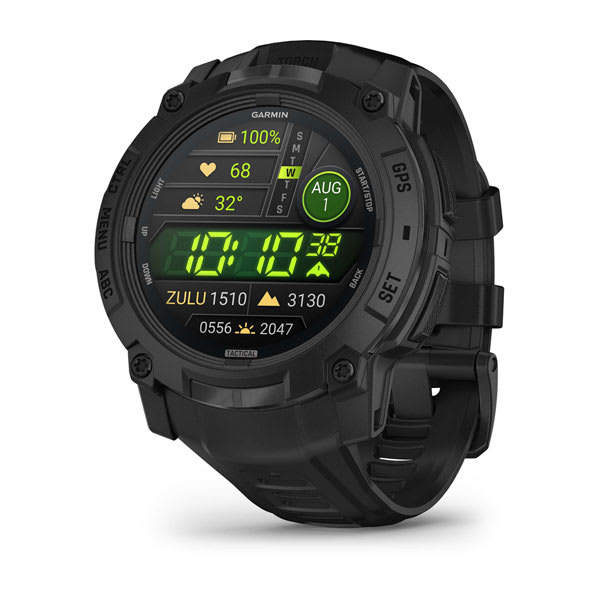
Instinct® 3 – 50 mm, AMOLED, Tactical Edition
$1099.00 Add to cartOverview
Follow yours
Instinct E is the GPS smartwatch with a rugged design and the essential features you need to take on the day.
RUGGED DESIGN
UP TO 16 DAYS OF BATTERY LIFE IN SMARTWATCH MODE
ESSENTIAL HEALTH AND WELLNESS FEATURES
NAVIGATION FEATURES
BUILT-IN SPORTS APPS
SHOW US WHAT YOU’VE GOT. TAG @GARMIN ON INSTAGRAM.
RUGGED DESIGN
Stand out with a rugged design, including a 45 mm high-strength case and scratch-resistant display.
TESTED FOR TOUGHNESS
ESSENTIAL HEALTH AND WELLNESS MONITORING
SMART NOTIFICATIONS
NAVIGATION FEATURES
Navigate confidently with a 3-axis compass, barometric altimeter and multi-GNSS support.
BUILT-IN SPORTS APPS
Track your activities, including walking, running, cycling, hiking, strength training and more.
HEALTH AND WELLNESS
DAILY MOVEMENTS
HRV STATUS
WRIST-BASED HEART RATE
STRESS TRACKING
MORNING REPORT
Receive an overview of your sleep, recovery, daily calendar, HRV status and more as soon as you wake up. You can even customise your reports theme, data shown and more.
HEALTH SNAPSHOT
PULSE OX SENSOR
MINDFUL BREATHING
RESPIRATION
HYDRATION
FITNESS AGE
SMART WAKE ALARM
Wake up more refreshed. The smart wake alarm gently wakes you at the optimal time.
WOMEN’S HEALTH TRACKING
BREATHING VARIATIONS
LIFESTYLE LOGGING
Log behaviours — such as caffeine and alcohol intake — and view reports on how they impact your health in the Garmin Connect™ app.
NUTRITION IN THE GARMIN CONNECT™ APP
Easily track calories and macronutrients, get personalised nutrition recommendations and see reports to follow your progress toward your goals with a Garmin Connect+ plan.
ACTIVITY TRACKING
GARMIN COACH
WORKOUT CREATION
INTENSITY MINUTES
VO2 MAX
ALTITUDE AND HEAT ACCLIMATION
HIIT WORKOUTS
Track your HIIT workouts, including AMRAP, EMOM, Tabata or custom workouts.
DAILY SUGGESTED WORKOUTS
View your entire week of daily suggested workouts, which adapt after every run or ride.
recovery time
Know how long you should recover before your next high-effort workout based on your latest training.
STAY CONNECTED
Garmin Connect
See your health and fitness information, connect with friends and more — in this free, zero-subscription app.
Garmin Messenger™ App
SMART NOTIFICATIONS
SAFETY AND TRACKING FEATURES
CONNECT IQ™ STORE
LIVETRACK FEATURE
ABC SENSORS
GARMIN SHARE
Use this feature to easily share saved locations, courses and workouts with friends’ compatible Garmin devices.
-

Tread® 2 - Overland Edition
$1769.00 Add to cartOverview
Navigate the unforgiving
Built for high speed and high performance, this rugged off-road chase navigator has the tools you need to stay on track and the communication technology to stay in touch with global satellite coverage. With Tread XL - Baja Chase Edition, you'll know where your race vehicle is and be able to communicate and support your team if any challenges come up or if you need to coordinate repairs.
GPX course file-compatibility lets you view course start/end, racetrack line, virtual checkpoints, pit locations and race mile markers.
This rugged navigator is IP67 dust and weather-resistant and has a 10″ ultrabright touchscreen display.
Get prerunning tools for creating custom pace notes — such as “sharp turn” — to help navigate your most efficient route through virtual checkpoints.
The Tread Baja Chase Edition includes a heavy-duty suction cup for easy portability from one support truck to another.
Put your device in chase mode to track your race vehicle with real-time updates on the map.
Be ready to support your race vehicle.
TEAM TRACKING
EASY PORTABILITY
The Tread Baja Chase Edition has a heavy-duty suction cup, vehicle power cable and robust, portable mounting hardware to easily move from one chase truck to another.
KNOW THE COURSE
Import the GPX data ahead of time to view the course start/end, racetrack line, all virtual checkpoints, pit locations and race mile markers.
PRERUNNING TOOLS
Prerunning tools let you create custom pace notes — such as “sharp turn,” “stepdown” or “danger” — to help you anticipate obstacles and navigate the most efficient route through all virtual checkpoints.
TRACK YOUR TRUCK
When in chase mode, use your device to track a race vehicle with real-time updates on the map.
HIGH-PERFORMANCE GPS
CONTROL YOUR ACCESSORIES
OFF-ROAD RUGGEDNESS
TEAM TRACKING PLANS
Enjoy team tracking with unlimited SOS, text messages and more ( requires active).
SATELLITE IMAGERY
OUTDOOR MAPS+
Track your team with an inReach Flex Team subscription.
Control your vehicle's accessories with Garmin PowerSwitch™.
See what's behind your vehicle with a Garmin backup camera.
Support your need to wander with off-road maps for every adventure
-
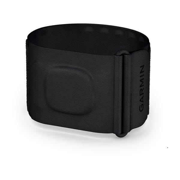
Index™ Sleep Monitor
$299.00 Add to cartOverview
THE MOST COMFORTABLE SLEEP YOU’VE EVER TRACKED
COMFORTABLE, BREATHABLE DESIGN WORN ON THE UPPER ARM
UP TO 7 NIGHTS OF BATTERY LIFE
SLEEP TRACKING AND RECOVERY METRICS
BREATHING VARIATIONS THROUGHOUT THE NIGHT
SKIN TEMPERATURE TRACKING FOR PAST OVULATION ESTIMATES AND MORE
MACHINE-WASHABLE BAND FOR EASY CLEANING
SHOW US WHAT YOU’VE GOT. TAG @GARMIN ON INSTAGRAM.
SLEEP TRACKING
COMFORTABLE DESIGN
Worn on the upper arm, this lightweight and breathable smart sleep band comes in two sizes, allowing you to get the data you need without compromising comfort.
SEAMLESS DATA SYNCING
BREATHING VARIATIONS
SLEEP DATA INTEGRATION
WOMEN’S HEALTH
BETTER SLEEP, BETTER RECOVERY
HEART RATE
HRV STATUS
HEALTH STATUS
Look for changes in your health data that could indicate added stress to your body, so you can know when you’re trending away from your usual range. This feature is currently available in beta⁴.
SMART WAKE ALARM
Wake up more refreshed. The smart wake alarm gently vibrates to wake you at the optimal time.
SKIN TEMPERATURE
PULSE OX SENSOR
BODY BATTERY™ ENERGY MONITORING
STRESS TRACKING
Find out if you’re having calm, balanced or stressful sleep.
RESPIRATION
MACHINE WASHABLE
Cleaning the monitor is simple. Just remove the module, and toss the band into the washing machine.
-

Index™ Sleep Monitor
$299.00 Add to cartOverview
THE MOST COMFORTABLE SLEEP YOU’VE EVER TRACKED
COMFORTABLE, BREATHABLE DESIGN WORN ON THE UPPER ARM
UP TO 7 NIGHTS OF BATTERY LIFE
SLEEP TRACKING AND RECOVERY METRICS
BREATHING VARIATIONS THROUGHOUT THE NIGHT
SKIN TEMPERATURE TRACKING FOR PAST OVULATION ESTIMATES AND MORE
MACHINE-WASHABLE BAND FOR EASY CLEANING
SHOW US WHAT YOU’VE GOT. TAG @GARMIN ON INSTAGRAM.
SLEEP TRACKING
COMFORTABLE DESIGN
Worn on the upper arm, this lightweight and breathable smart sleep band comes in two sizes, allowing you to get the data you need without compromising comfort.
SEAMLESS DATA SYNCING
BREATHING VARIATIONS
SLEEP DATA INTEGRATION
WOMEN’S HEALTH
BETTER SLEEP, BETTER RECOVERY
HEART RATE
HRV STATUS
HEALTH STATUS
Look for changes in your health data that could indicate added stress to your body, so you can know when you’re trending away from your usual range. This feature is currently available in beta⁴.
SMART WAKE ALARM
Wake up more refreshed. The smart wake alarm gently vibrates to wake you at the optimal time.
SKIN TEMPERATURE
PULSE OX SENSOR
BODY BATTERY™ ENERGY MONITORING
STRESS TRACKING
Find out if you’re having calm, balanced or stressful sleep.
RESPIRATION
MACHINE WASHABLE
Cleaning the monitor is simple. Just remove the module, and toss the band into the washing machine.
-

fēnix® E – 47 mm, AMOLED
$1349.00 Add to cartOverview
BE LIMITLESS
FĒNIX HAS EVOLVED
GO BEYOND YOUR CAPABILITIES
TAKE COMMAND WITH YOUR VOICE
LIGHT YOUR WAY
THE ULTIMATE GPS SMARTWATCH
BE LIMITLESS
For serious athletes and adventurers who want to push beyond their limits, this premium multisport GPS smartwatch is built to perform — with advanced strength training features, dive capability, an internal speaker and mic for voice features, a built-in LED flashlight and compact styling for smaller wrists.
BRIGHT, CRISP AMOLED DISPLAY
UP TO 10 DAYS OF BATTERY LIFE IN SMARTWATCH MODE
BRIGHT BUILT-IN LED FLASHLIGHT
SPORT-SPECIFIC STRENGTH WORKOUTS
24/7 HEALTH AND WELLNESS FEATURES
SHOW US WHAT YOU’VE GOT. TAG @GARMIN ON INSTAGRAM.
RUGGED BY DESIGN
Built to endure, this premium design is dive-rated and features leakproof buttons, a metal sensor guard cover and bright 1.3” AMOLED display with options for a scratch-resistant lens and titanium bezel. It’s tested to U.S. military standards for thermal, shock and water resistance.
BUILT-IN SPEAKER AND MICROPHONE
Make and take phone calls from your watch when it’s paired to your smartphone. Plus, control watch functions with off-grid voice commands — or use your smartphone’s voice assistant to respond to text messages and more.
BUILT-IN LED FLASHLIGHT
A true integrated flashlight with variable light intensities and a red safety light gives you greater awareness in the dark, providing convenient illumination when you need it. Strobe mode can even match your running cadence.
GARMIN COACH
KNOWLEDGE IS POWER
ENHANCED MAP NAVIGATION
PERFORMANCE FEATURES
ENDURANCE SCORE
VISUAL RACE PREDICTOR
COURSE PLANNER
PACEPRO™ TECHNOLOGY
CLIMBPRO FEATURE
GRADE-ADJUSTED PACE
Get your equivalent running pace at the same effort on flat ground or when ascending.
TRAINING READINESS
Training status
PERFORMANCE METRICS
MULTISPORT AUTO TRANSITION
This feature detects sport changes between swim, bike and run in multisport activities — so you can focus on the race and let your watch take care of recording splits.
HILL SCORE
DAILY SUGGESTED WORKOUTS
RECOVERY TIME
RACE WIDGET
WRIST-BASED RUNNING DYNAMICS
View crucial running metrics such as cadence, stride length, ground contact time and more.
GARMIN COACH
RUNNING ECONOMY
Measure your overall energy efficiency while running — using long-term running volume, stride length and step speed loss, which tells you how much you slow down when your foot hits the ground — when you pair your watch with the HRM 600 monitor (sold separately).
RUNNING TOLERANCE
Better understand the impact each run has on your body, and get a recommended weekly maximum mileage so you can keep training effectively without taking on too much.
STEP SPEED LOSS
Improve your running form and understand how much you slow down when your foot hits the ground when you pair your watch with the HRM 600 monitor (sold separately).
ACTIVITIES AND FUNCTIONS
TRACK YOUR ACTIVITIES
Use preloaded activity profiles to get data and insight from your active pursuits. Even track team sport activities such as soccer, football, racquet sports and more.
RECREATIONAL DIVING
A 40-meter dive rating and leakproof metal buttons let you reach new depths with support for scuba and apnea dive activities.
HIIT WORKOUTS
Track your HIIT workouts, including AMRAP, EMOM, Tabata or custom workouts.
ANIMATED WORKOUTS
Follow animated workouts for cardio, strength, yoga and Pilates on the watch screen.
BACKCOUNTRY SKI AND SNOWBOARD
Automatically track ascents and descents along with how much time you spend between runs.
XC Ski Power
SURF ACTIVITY
MTB DYNAMICS
RUCKING ACTIVITY
A dedicated rucking activity profile allows you to enter pack weight.
PACK WEIGHT
Pack weight considers extra carrying weight during running, hiking and walking activities.
FIND YOUR WAY
OUTDOOR MAPS+
GARMIN TRAILS
SATIQ™ TECHNOLOGY
Get superior positioning accuracy with multi-band GPS while optimising battery life.
ABC SENSORS
MULTICONTINENT TOPO MAPS
Download TopoActive maps from around the world via Wi-Fi® connectivity. Easily load and update maps without using a computer.
NEXTFORK™ MAP GUIDE
Navigate with a quick glance, and see the distance to the next intersection and the trail name.
UP AHEAD FEATURE
COURSES WITH TURN-BY-TURN DIRECTIONS
SKIVIEW™ MAPS
GOLF COURSE MAPS
HEALTH FEATURES
MORNING REPORT
Get a customisable overview of your sleep, training outlook, HRV status, weather and more as soon as you wake up.
EVENING REPORT
Prepare for tomorrow before bed with a reminder of sleep need, tomorrow’s workout, weather and events.
HRV STATUS
WRIST-BASED HEART RATE
pulse ox sensor
SLEEP COACH
BREATHING VARIATIONS
For a closer glimpse of your health, the breathing variations feature helps you understand shifts in your breathing patterns as you sleep⁶. These shifts could be related to environment, alcohol, or potential sleep disorders such as sleep apnea.
LIFESTYLE LOGGING
Log behaviours — such as caffeine and alcohol intake — and view reports on how they impact your health in the Garmin Connect™ app.
NUTRITION IN THE GARMIN CONNECT™ APP
Easily track calories and macronutrients, get personalised nutrition recommendations and see reports to follow your progress toward your goals with a Garmin Connect+ plan.
NAP DETECTION
JET LAG ADVISER
HEALTH STATUS
Look for changes in your health data that could indicate added stress to your body, so you can know when you’re trending away from your usual range.
BODY BATTERY™ ENERGY MONITORING
STRESS TRACKING
HEALTH SNAPSHOT™ FEATURE
RESPIRATION TRACKING
HYDRATION TRACKING
ALTITUDE AND HEAT ACCLIMATION
WOMEN’S HEALTH TRACKING
NATURAL CYCLES° COMPATIBILITY
SMART WAKE ALARM
Wake up more refreshed. The smart wake alarm gently vibrates to wake you at the optimal time.
MOBILITY
Increase your flexibility and strength with new downloadable mobility workouts available for free in the Garmin Connect™ app and an activity profile.
CONNECTED FEATURES
GARMIN CONNECT APP
See your health and fitness information, connect with friends and more.
GARMIN MESSENGER™ APP
SMART NOTIFICATIONS
WORKS WITH WHATSAPP
MUSIC
GARMIN PAY™ CONTACTLESS PAYMENTS
Garmin Share
Use this feature to easily share saved locations, courses and workouts with friends’ compatible Garmin devices.
SAFETY AND TRACKING FEATURES
STOCKS TRACKER
SPORTS SCORES
Live data, schedules and standings for 15 different sports leagues when paired to your smartphone.
CONNECT IQ™ STORE
POWER MANAGER
View how various settings and sensors impact your watch's battery life.
-

fēnix® E – 47 mm, AMOLED
$1349.00 Add to cartOverview
BE LIMITLESS
FĒNIX HAS EVOLVED
GO BEYOND YOUR CAPABILITIES
TAKE COMMAND WITH YOUR VOICE
LIGHT YOUR WAY
THE ULTIMATE GPS SMARTWATCH
BE LIMITLESS
For serious athletes and adventurers who want to push beyond their limits, this premium multisport GPS smartwatch is built to perform — with advanced strength training features, dive capability, an internal speaker and mic for voice features, a built-in LED flashlight and compact styling for smaller wrists.
BRIGHT, CRISP AMOLED DISPLAY
UP TO 10 DAYS OF BATTERY LIFE IN SMARTWATCH MODE
BRIGHT BUILT-IN LED FLASHLIGHT
SPORT-SPECIFIC STRENGTH WORKOUTS
24/7 HEALTH AND WELLNESS FEATURES
SHOW US WHAT YOU’VE GOT. TAG @GARMIN ON INSTAGRAM.
RUGGED BY DESIGN
Built to endure, this premium design is dive-rated and features leakproof buttons, a metal sensor guard cover and bright 1.3” AMOLED display with options for a scratch-resistant lens and titanium bezel. It’s tested to U.S. military standards for thermal, shock and water resistance.
BUILT-IN SPEAKER AND MICROPHONE
Make and take phone calls from your watch when it’s paired to your smartphone. Plus, control watch functions with off-grid voice commands — or use your smartphone’s voice assistant to respond to text messages and more.
BUILT-IN LED FLASHLIGHT
A true integrated flashlight with variable light intensities and a red safety light gives you greater awareness in the dark, providing convenient illumination when you need it. Strobe mode can even match your running cadence.
GARMIN COACH
KNOWLEDGE IS POWER
ENHANCED MAP NAVIGATION
PERFORMANCE FEATURES
ENDURANCE SCORE
VISUAL RACE PREDICTOR
COURSE PLANNER
PACEPRO™ TECHNOLOGY
CLIMBPRO FEATURE
GRADE-ADJUSTED PACE
Get your equivalent running pace at the same effort on flat ground or when ascending.
TRAINING READINESS
Training status
PERFORMANCE METRICS
MULTISPORT AUTO TRANSITION
This feature detects sport changes between swim, bike and run in multisport activities — so you can focus on the race and let your watch take care of recording splits.
HILL SCORE
DAILY SUGGESTED WORKOUTS
RECOVERY TIME
RACE WIDGET
WRIST-BASED RUNNING DYNAMICS
View crucial running metrics such as cadence, stride length, ground contact time and more.
GARMIN COACH
RUNNING ECONOMY
Measure your overall energy efficiency while running — using long-term running volume, stride length and step speed loss, which tells you how much you slow down when your foot hits the ground — when you pair your watch with the HRM 600 monitor (sold separately).
RUNNING TOLERANCE
Better understand the impact each run has on your body, and get a recommended weekly maximum mileage so you can keep training effectively without taking on too much.
STEP SPEED LOSS
Improve your running form and understand how much you slow down when your foot hits the ground when you pair your watch with the HRM 600 monitor (sold separately).
ACTIVITIES AND FUNCTIONS
TRACK YOUR ACTIVITIES
Use preloaded activity profiles to get data and insight from your active pursuits. Even track team sport activities such as soccer, football, racquet sports and more.
RECREATIONAL DIVING
A 40-meter dive rating and leakproof metal buttons let you reach new depths with support for scuba and apnea dive activities.
HIIT WORKOUTS
Track your HIIT workouts, including AMRAP, EMOM, Tabata or custom workouts.
ANIMATED WORKOUTS
Follow animated workouts for cardio, strength, yoga and Pilates on the watch screen.
BACKCOUNTRY SKI AND SNOWBOARD
Automatically track ascents and descents along with how much time you spend between runs.
XC Ski Power
SURF ACTIVITY
MTB DYNAMICS
RUCKING ACTIVITY
A dedicated rucking activity profile allows you to enter pack weight.
PACK WEIGHT
Pack weight considers extra carrying weight during running, hiking and walking activities.
FIND YOUR WAY
OUTDOOR MAPS+
GARMIN TRAILS
SATIQ™ TECHNOLOGY
Get superior positioning accuracy with multi-band GPS while optimising battery life.
ABC SENSORS
MULTICONTINENT TOPO MAPS
Download TopoActive maps from around the world via Wi-Fi® connectivity. Easily load and update maps without using a computer.
NEXTFORK™ MAP GUIDE
Navigate with a quick glance, and see the distance to the next intersection and the trail name.
UP AHEAD FEATURE
COURSES WITH TURN-BY-TURN DIRECTIONS
SKIVIEW™ MAPS
GOLF COURSE MAPS
HEALTH FEATURES
MORNING REPORT
Get a customisable overview of your sleep, training outlook, HRV status, weather and more as soon as you wake up.
EVENING REPORT
Prepare for tomorrow before bed with a reminder of sleep need, tomorrow’s workout, weather and events.
HRV STATUS
WRIST-BASED HEART RATE
pulse ox sensor
SLEEP COACH
BREATHING VARIATIONS
For a closer glimpse of your health, the breathing variations feature helps you understand shifts in your breathing patterns as you sleep⁶. These shifts could be related to environment, alcohol, or potential sleep disorders such as sleep apnea.
LIFESTYLE LOGGING
Log behaviours — such as caffeine and alcohol intake — and view reports on how they impact your health in the Garmin Connect™ app.
NUTRITION IN THE GARMIN CONNECT™ APP
Easily track calories and macronutrients, get personalised nutrition recommendations and see reports to follow your progress toward your goals with a Garmin Connect+ plan.
NAP DETECTION
JET LAG ADVISER
HEALTH STATUS
Look for changes in your health data that could indicate added stress to your body, so you can know when you’re trending away from your usual range.
BODY BATTERY™ ENERGY MONITORING
STRESS TRACKING
HEALTH SNAPSHOT™ FEATURE
RESPIRATION TRACKING
HYDRATION TRACKING
ALTITUDE AND HEAT ACCLIMATION
WOMEN’S HEALTH TRACKING
NATURAL CYCLES° COMPATIBILITY
SMART WAKE ALARM
Wake up more refreshed. The smart wake alarm gently vibrates to wake you at the optimal time.
MOBILITY
Increase your flexibility and strength with new downloadable mobility workouts available for free in the Garmin Connect™ app and an activity profile.
CONNECTED FEATURES
GARMIN CONNECT APP
See your health and fitness information, connect with friends and more.
GARMIN MESSENGER™ APP
SMART NOTIFICATIONS
WORKS WITH WHATSAPP
MUSIC
GARMIN PAY™ CONTACTLESS PAYMENTS
Garmin Share
Use this feature to easily share saved locations, courses and workouts with friends’ compatible Garmin devices.
SAFETY AND TRACKING FEATURES
STOCKS TRACKER
SPORTS SCORES
Live data, schedules and standings for 15 different sports leagues when paired to your smartphone.
CONNECT IQ™ STORE
POWER MANAGER
View how various settings and sensors impact your watch's battery life.
-

fēnix® 8 Pro – 47 mm, AMOLED
$2099.00 Add to cartOverview
BE LIMITLESS
FĒNIX HAS EVOLVED
GO BEYOND YOUR CAPABILITIES
TAKE COMMAND WITH YOUR VOICE
LIGHT YOUR WAY
THE ULTIMATE GPS SMARTWATCH
BE LIMITLESS
For serious athletes and adventurers who want to push beyond their limits, this premium multisport GPS smartwatch is built to perform — with advanced strength training features, dive capability, an internal speaker and mic for voice features, a built-in LED flashlight and compact styling for smaller wrists.
BRIGHT, CRISP AMOLED DISPLAY
UP TO 10 DAYS OF BATTERY LIFE IN SMARTWATCH MODE
BRIGHT BUILT-IN LED FLASHLIGHT
SPORT-SPECIFIC STRENGTH WORKOUTS
24/7 HEALTH AND WELLNESS FEATURES
SHOW US WHAT YOU’VE GOT. TAG @GARMIN ON INSTAGRAM.
RUGGED BY DESIGN
Built to endure, this premium design is dive-rated and features leakproof buttons, a metal sensor guard cover and bright 1.3” AMOLED display with options for a scratch-resistant lens and titanium bezel. It’s tested to U.S. military standards for thermal, shock and water resistance.
BUILT-IN SPEAKER AND MICROPHONE
Make and take phone calls from your watch when it’s paired to your smartphone. Plus, control watch functions with off-grid voice commands — or use your smartphone’s voice assistant to respond to text messages and more.
BUILT-IN LED FLASHLIGHT
A true integrated flashlight with variable light intensities and a red safety light gives you greater awareness in the dark, providing convenient illumination when you need it. Strobe mode can even match your running cadence.
GARMIN COACH
KNOWLEDGE IS POWER
ENHANCED MAP NAVIGATION
PERFORMANCE FEATURES
ENDURANCE SCORE
VISUAL RACE PREDICTOR
COURSE PLANNER
PACEPRO™ TECHNOLOGY
CLIMBPRO FEATURE
GRADE-ADJUSTED PACE
Get your equivalent running pace at the same effort on flat ground or when ascending.
TRAINING READINESS
Training status
PERFORMANCE METRICS
MULTISPORT AUTO TRANSITION
This feature detects sport changes between swim, bike and run in multisport activities — so you can focus on the race and let your watch take care of recording splits.
HILL SCORE
DAILY SUGGESTED WORKOUTS
RECOVERY TIME
RACE WIDGET
WRIST-BASED RUNNING DYNAMICS
View crucial running metrics such as cadence, stride length, ground contact time and more.
GARMIN COACH
RUNNING ECONOMY
Measure your overall energy efficiency while running — using long-term running volume, stride length and step speed loss, which tells you how much you slow down when your foot hits the ground — when you pair your watch with the HRM 600 monitor (sold separately).
RUNNING TOLERANCE
Better understand the impact each run has on your body, and get a recommended weekly maximum mileage so you can keep training effectively without taking on too much.
STEP SPEED LOSS
Improve your running form and understand how much you slow down when your foot hits the ground when you pair your watch with the HRM 600 monitor (sold separately).
ACTIVITIES AND FUNCTIONS
TRACK YOUR ACTIVITIES
Use preloaded activity profiles to get data and insight from your active pursuits. Even track team sport activities such as soccer, football, racquet sports and more.
RECREATIONAL DIVING
A 40-meter dive rating and leakproof metal buttons let you reach new depths with support for scuba and apnea dive activities.
HIIT WORKOUTS
Track your HIIT workouts, including AMRAP, EMOM, Tabata or custom workouts.
ANIMATED WORKOUTS
Follow animated workouts for cardio, strength, yoga and Pilates on the watch screen.
BACKCOUNTRY SKI AND SNOWBOARD
Automatically track ascents and descents along with how much time you spend between runs.
XC Ski Power
SURF ACTIVITY
MTB DYNAMICS
RUCKING ACTIVITY
A dedicated rucking activity profile allows you to enter pack weight.
PACK WEIGHT
Pack weight considers extra carrying weight during running, hiking and walking activities.
FIND YOUR WAY
OUTDOOR MAPS+
GARMIN TRAILS
SATIQ™ TECHNOLOGY
Get superior positioning accuracy with multi-band GPS while optimising battery life.
ABC SENSORS
MULTICONTINENT TOPO MAPS
Download TopoActive maps from around the world via Wi-Fi® connectivity. Easily load and update maps without using a computer.
NEXTFORK™ MAP GUIDE
Navigate with a quick glance, and see the distance to the next intersection and the trail name.
UP AHEAD FEATURE
COURSES WITH TURN-BY-TURN DIRECTIONS
SKIVIEW™ MAPS
GOLF COURSE MAPS
HEALTH FEATURES
MORNING REPORT
Get a customisable overview of your sleep, training outlook, HRV status, weather and more as soon as you wake up.
EVENING REPORT
Prepare for tomorrow before bed with a reminder of sleep need, tomorrow’s workout, weather and events.
HRV STATUS
WRIST-BASED HEART RATE
pulse ox sensor
SLEEP COACH
BREATHING VARIATIONS
For a closer glimpse of your health, the breathing variations feature helps you understand shifts in your breathing patterns as you sleep⁶. These shifts could be related to environment, alcohol, or potential sleep disorders such as sleep apnea.
LIFESTYLE LOGGING
Log behaviours — such as caffeine and alcohol intake — and view reports on how they impact your health in the Garmin Connect™ app.
NUTRITION IN THE GARMIN CONNECT™ APP
Easily track calories and macronutrients, get personalised nutrition recommendations and see reports to follow your progress toward your goals with a Garmin Connect+ plan.
NAP DETECTION
JET LAG ADVISER
HEALTH STATUS
Look for changes in your health data that could indicate added stress to your body, so you can know when you’re trending away from your usual range.
BODY BATTERY™ ENERGY MONITORING
STRESS TRACKING
HEALTH SNAPSHOT™ FEATURE
RESPIRATION TRACKING
HYDRATION TRACKING
ALTITUDE AND HEAT ACCLIMATION
WOMEN’S HEALTH TRACKING
NATURAL CYCLES° COMPATIBILITY
SMART WAKE ALARM
Wake up more refreshed. The smart wake alarm gently vibrates to wake you at the optimal time.
MOBILITY
Increase your flexibility and strength with new downloadable mobility workouts available for free in the Garmin Connect™ app and an activity profile.
CONNECTED FEATURES
GARMIN CONNECT APP
See your health and fitness information, connect with friends and more.
GARMIN MESSENGER™ APP
SMART NOTIFICATIONS
WORKS WITH WHATSAPP
MUSIC
GARMIN PAY™ CONTACTLESS PAYMENTS
Garmin Share
Use this feature to easily share saved locations, courses and workouts with friends’ compatible Garmin devices.
SAFETY AND TRACKING FEATURES
STOCKS TRACKER
SPORTS SCORES
Live data, schedules and standings for 15 different sports leagues when paired to your smartphone.
CONNECT IQ™ STORE
POWER MANAGER
View how various settings and sensors impact your watch's battery life.
-

fēnix® 8 Pro – 47 mm, AMOLED
$2099.00 Add to cartOverview
BE LIMITLESS
FĒNIX HAS EVOLVED
GO BEYOND YOUR CAPABILITIES
TAKE COMMAND WITH YOUR VOICE
LIGHT YOUR WAY
THE ULTIMATE GPS SMARTWATCH
BE LIMITLESS
For serious athletes and adventurers who want to push beyond their limits, this premium multisport GPS smartwatch is built to perform — with advanced strength training features, dive capability, an internal speaker and mic for voice features, a built-in LED flashlight and compact styling for smaller wrists.
BRIGHT, CRISP AMOLED DISPLAY
UP TO 10 DAYS OF BATTERY LIFE IN SMARTWATCH MODE
BRIGHT BUILT-IN LED FLASHLIGHT
SPORT-SPECIFIC STRENGTH WORKOUTS
24/7 HEALTH AND WELLNESS FEATURES
SHOW US WHAT YOU’VE GOT. TAG @GARMIN ON INSTAGRAM.
RUGGED BY DESIGN
Built to endure, this premium design is dive-rated and features leakproof buttons, a metal sensor guard cover and bright 1.3” AMOLED display with options for a scratch-resistant lens and titanium bezel. It’s tested to U.S. military standards for thermal, shock and water resistance.
BUILT-IN SPEAKER AND MICROPHONE
Make and take phone calls from your watch when it’s paired to your smartphone. Plus, control watch functions with off-grid voice commands — or use your smartphone’s voice assistant to respond to text messages and more.
BUILT-IN LED FLASHLIGHT
A true integrated flashlight with variable light intensities and a red safety light gives you greater awareness in the dark, providing convenient illumination when you need it. Strobe mode can even match your running cadence.
GARMIN COACH
KNOWLEDGE IS POWER
ENHANCED MAP NAVIGATION
PERFORMANCE FEATURES
ENDURANCE SCORE
VISUAL RACE PREDICTOR
COURSE PLANNER
PACEPRO™ TECHNOLOGY
CLIMBPRO FEATURE
GRADE-ADJUSTED PACE
Get your equivalent running pace at the same effort on flat ground or when ascending.
TRAINING READINESS
Training status
PERFORMANCE METRICS
MULTISPORT AUTO TRANSITION
This feature detects sport changes between swim, bike and run in multisport activities — so you can focus on the race and let your watch take care of recording splits.
HILL SCORE
DAILY SUGGESTED WORKOUTS
RECOVERY TIME
RACE WIDGET
WRIST-BASED RUNNING DYNAMICS
View crucial running metrics such as cadence, stride length, ground contact time and more.
GARMIN COACH
RUNNING ECONOMY
Measure your overall energy efficiency while running — using long-term running volume, stride length and step speed loss, which tells you how much you slow down when your foot hits the ground — when you pair your watch with the HRM 600 monitor (sold separately).
RUNNING TOLERANCE
Better understand the impact each run has on your body, and get a recommended weekly maximum mileage so you can keep training effectively without taking on too much.
STEP SPEED LOSS
Improve your running form and understand how much you slow down when your foot hits the ground when you pair your watch with the HRM 600 monitor (sold separately).
ACTIVITIES AND FUNCTIONS
TRACK YOUR ACTIVITIES
Use preloaded activity profiles to get data and insight from your active pursuits. Even track team sport activities such as soccer, football, racquet sports and more.
RECREATIONAL DIVING
A 40-meter dive rating and leakproof metal buttons let you reach new depths with support for scuba and apnea dive activities.
HIIT WORKOUTS
Track your HIIT workouts, including AMRAP, EMOM, Tabata or custom workouts.
ANIMATED WORKOUTS
Follow animated workouts for cardio, strength, yoga and Pilates on the watch screen.
BACKCOUNTRY SKI AND SNOWBOARD
Automatically track ascents and descents along with how much time you spend between runs.
XC Ski Power
SURF ACTIVITY
MTB DYNAMICS
RUCKING ACTIVITY
A dedicated rucking activity profile allows you to enter pack weight.
PACK WEIGHT
Pack weight considers extra carrying weight during running, hiking and walking activities.
FIND YOUR WAY
OUTDOOR MAPS+
GARMIN TRAILS
SATIQ™ TECHNOLOGY
Get superior positioning accuracy with multi-band GPS while optimising battery life.
ABC SENSORS
MULTICONTINENT TOPO MAPS
Download TopoActive maps from around the world via Wi-Fi® connectivity. Easily load and update maps without using a computer.
NEXTFORK™ MAP GUIDE
Navigate with a quick glance, and see the distance to the next intersection and the trail name.
UP AHEAD FEATURE
COURSES WITH TURN-BY-TURN DIRECTIONS
SKIVIEW™ MAPS
GOLF COURSE MAPS
HEALTH FEATURES
MORNING REPORT
Get a customisable overview of your sleep, training outlook, HRV status, weather and more as soon as you wake up.
EVENING REPORT
Prepare for tomorrow before bed with a reminder of sleep need, tomorrow’s workout, weather and events.
HRV STATUS
WRIST-BASED HEART RATE
pulse ox sensor
SLEEP COACH
BREATHING VARIATIONS
For a closer glimpse of your health, the breathing variations feature helps you understand shifts in your breathing patterns as you sleep⁶. These shifts could be related to environment, alcohol, or potential sleep disorders such as sleep apnea.
LIFESTYLE LOGGING
Log behaviours — such as caffeine and alcohol intake — and view reports on how they impact your health in the Garmin Connect™ app.
NUTRITION IN THE GARMIN CONNECT™ APP
Easily track calories and macronutrients, get personalised nutrition recommendations and see reports to follow your progress toward your goals with a Garmin Connect+ plan.
NAP DETECTION
JET LAG ADVISER
HEALTH STATUS
Look for changes in your health data that could indicate added stress to your body, so you can know when you’re trending away from your usual range.
BODY BATTERY™ ENERGY MONITORING
STRESS TRACKING
HEALTH SNAPSHOT™ FEATURE
RESPIRATION TRACKING
HYDRATION TRACKING
ALTITUDE AND HEAT ACCLIMATION
WOMEN’S HEALTH TRACKING
NATURAL CYCLES° COMPATIBILITY
SMART WAKE ALARM
Wake up more refreshed. The smart wake alarm gently vibrates to wake you at the optimal time.
MOBILITY
Increase your flexibility and strength with new downloadable mobility workouts available for free in the Garmin Connect™ app and an activity profile.
CONNECTED FEATURES
GARMIN CONNECT APP
See your health and fitness information, connect with friends and more.
GARMIN MESSENGER™ APP
SMART NOTIFICATIONS
WORKS WITH WHATSAPP
MUSIC
GARMIN PAY™ CONTACTLESS PAYMENTS
Garmin Share
Use this feature to easily share saved locations, courses and workouts with friends’ compatible Garmin devices.
SAFETY AND TRACKING FEATURES
STOCKS TRACKER
SPORTS SCORES
Live data, schedules and standings for 15 different sports leagues when paired to your smartphone.
CONNECT IQ™ STORE
POWER MANAGER
View how various settings and sensors impact your watch's battery life.
-

quatix® 8 Pro – 47 mm, AMOLED
$2299.00 Add to cartOverview
STAY CONNECTED FROM THE WAVES TO THE WILD
SOS MESSAGING WITH GARMIN RESPONSE℠
COMMAND THE HELM
BUILT FOR BEYOND
PLOT YOUR PARADISE
BRIGHT, CRISP AMOLED DISPLAY
EXTEND YOUR ADVENTURE WITH UP TO 15 DAYS OF BATTERY LIFE
BRING THE HELM TO YOUR WRIST WITH BOAT MODE
INREACH TECHNOLOGY¹ FOR SATELLITE AND LTE CONNECTIVITY
BOAT DATA STREAMING AND CHARTPLOTTER VOICE CONTROL²
24/7 HEALTH AND WELLNESS FEATURES
SHOW US WHAT YOU’VE GOT. TAG @GARMIN ON INSTAGRAM.
MARINISED DESIGN
Built for life at the helm, this premium design is dive-rated and features leakproof buttons, a metal sensor guard and bright 1.4″ AMOLED display with a scratch-resistant lens and durable titanium bezel.
BOAT MODE
Bring the helm onto your wrist with boat mode. It brings your vessel-connected apps to the forefront that let you control your autopilot and give you access to trolling motor and other boat data.
SOS AND THE GARMIN RESPONSE℠ CENTRE
SATELLITE MESSAGING
When you’re venturing into off-grid locations, including up to 80 km offshore, the watch’s inReach technology allows you to send messages and get location check-ins with no phone connection required.
LTE CONNECTIVITY
Going for a run? Wakeboarding? Leave your phone behind, and use your watch’s LTE connection¹ to exchange messages and make voice calls — plus let friends follow along with LiveTrack™ location sharing and location check-ins. Even get access to weather conditions and forecasts.
COMPREHENSIVE HELM CONTROL
INTEGRATE
CHARTPLOTTER VOICE CONTROL
Keep your focus on the water, and control your compatible chartplotter with voice commands via BLUETOOTH technology.
AUTOPILOT CONTROL
FUSION AUDIO SYSTEM
BOAT DATA STREAMING
View data — including water depth, engine RPM, wind, custom data and more — from your chartplotter directly on your wrist.
ALERTS AND ALARMS
Get alerts for imminent tide changes and anchor drag.
WAYPOINT MARKING
Use your marine watch to place chartplotter waypoints from anywhere on the boat.
STAY IN CONTACT
PHONE-FREE VOICE CALLS
MESSAGING ON THE GO
Through satellite or LTE connection, messages can be shared with other Garmin Messenger app users directly from your watch. The app will automatically sync with your contacts when your watch is paired with your smartphone.
NO NEED TO SWITCH PROVIDERS
SAVE POWER
This smartwatch uses an LTE-M network, which is designed to use less power and minimise battery drain on your watch to keep your adventures going longer and stronger.
LIVETRACK FOLLOWING
LTE network connectivity¹ lets friends follow your adventures with LiveTrack location sharing. You can also alert your friends that you’ve started a LiveTrack sequence, in case they want to follow or reach you during your activity.
WEATHER FORECASTS
Access to current weather conditions and multiday forecasts are available via LTE to help you stay prepared for what’s ahead on your route.
LOCATION CHECK-INS
Over satellite or LTE, user-initiated location updates can be sent to family and friends, keeping them apprised of your adventures at sea and on land.
NAVIGATION
OUTDOOR MAPS+
SATIQ™ TECHNOLOGY
Get superior positioning accuracy with multi-band GPS while optimising battery life.
ABC SENSORS
MULTICONTINENT TOPO MAPS
NEXTFORK™ MAP GUIDE
Navigate with a quick glance, and see the distance to the next intersection and the trail name.
UP AHEAD FEATURE
COURSES WITH TURN-BY-TURN DIRECTIONS
SKIVIEW™ MAPS
GOLF COURSE MAPS
PERFORMANCE
ENDURANCE SCORE
VISUAL RACE PREDICTOR
PACEPRO™ TECHNOLOGY
CLIMBPRO FEATURE
GRADE-ADJUSTED PACE
Get your equivalent running pace at the same effort on flat ground or when ascending.
TRAINING READINESS
From the moment you wake up, get a readiness score based on your sleep quality³, recovery, training load and more, so you can determine if it’s a good day to go hard — or take it easy.
TRAINING STATUS
Get insight, and know whether you’re training productively, peaking or strained.
PERFORMANCE METRICS
MULTISPORT AUTO TRANSITION
This feature detects sport changes between swim, bike and run in multisport activities — so you can focus on the race and let your sports watch take care of recording splits.
HILL SCORE
DAILY SUGGESTED WORKOUTS
RECOVERY TIME
RACE WIDGET
WRIST-BASED RUNNING DYNAMICS
View crucial running metrics such as cadence, stride length, ground contact time and more.
GARMIN COACH ADAPTIVE TRAINING PLANS
RUNNING ECONOMY
RUNNING TOLERANCE
Better understand the impact each run has on your body, and get a recommended weekly maximum mileage so you can keep training effectively without taking on too much.
STEP SPEED LOSS
Improve your running form and understand how much you slow down when your foot hits the ground — when you pair your watch with the HRM 600 monitor (sold separately).
ACTIVITIES
RECREATIONAL DIVING
A 40-metre dive rating and leakproof metal buttons let you reach new depths with support for scuba and apnea dive activities.
WAKESPORTS ACTIVITIES
Track your stats for water skiing, wakeboarding, wakesurfing and kiteboarding.
TRACK YOUR ACTIVITIES
Use preloaded activity profiles to get data and insight from your active pursuits. Even track sport activities such as golf, soccer, football, racquet sports and more.
SAIL EXPEDITION
Record a multiday sailing activity with a reduced need to charge.
HIIT WORKOUTS
Track your HIIT workouts, including AMRAP, EMOM, Tabata or custom workouts.
ANIMATED WORKOUTS
Follow animated workouts for cardio, strength, yoga and pilates on the watch screen.
BACKCOUNTRY SKI AND SNOWBOARD
Automatically track ascents and descents along with how much time you spend between runs.
SURF ACTIVITY
HEALTH AND WELLNESS
MORNING REPORT
Get a customisable overview of your sleep, training outlook, HRV status, weather and more as soon as you wake up.
EVENING REPORT
Prepare for tomorrow before bed with a reminder of sleep need, tomorrow’s workout, weather and events.
HRV STATUS
WRIST-BASED HEART RATE
GARMIN ECG APP
PULSE OX SENSOR
SLEEP COACH
NAP DETECTION
Automatically track or log your naps to see how they benefit your body and to check the recommended time and duration they should be.
BREATHING VARIATIONS
For a closer glimpse of your health, the breathing variations feature uses Pulse Ox⁶ to help you better understand shifts in your breathing patterns as you sleep.
JET LAG ADVISER
BODY BATTERY™ ENERGY MONITORING
STRESS TRACKING
HEALTH SNAPSHOT™ FEATURE
RESPIRATION TRACKING
HYDRATION TRACKING
ALTITUDE AND HEAT ACCLIMATION
WOMEN’S HEALTH TRACKING
SMART WAKE ALARM
Wake up more refreshed. The smart wake alarm can gently vibrate to wake you at the right time.
MOBILITY
Increase your flexibility and strength with new downloadable mobility workouts available for free in the Garmin Connect app and an activity profile.
CONNECTED FEATURES
GARMIN CONNECT APP
See your health and fitness information, connect with friends and more.
SMART NOTIFICATIONS
MUSIC
GARMIN PAY™ CONTACTLESS PAYMENTS
GARMIN SHARE
Use this feature to easily share saved locations, courses and workouts with friends’ compatible Garmin devices.
SAFETY AND TRACKING FEATURES
If you feel unsafe or if your watch senses that an incident occurred, your watch will send a message with your live location⁷.
STOCKS TRACKER
Keep track of up to 50 of your favourite stocks⁸ — right from your wrist.
CONNECT IQ™ STORE
POWER MANAGER
View how various settings and sensors impact your sports watch's battery life.
-

fēnix® 8 Pro – 51 mm, AMOLED
$2299.00 Add to cartOverview
BE LIMITLESS
FĒNIX HAS EVOLVED
GO BEYOND YOUR CAPABILITIES
TAKE COMMAND WITH YOUR VOICE
LIGHT YOUR WAY
THE ULTIMATE GPS SMARTWATCH
BE LIMITLESS
For serious athletes and adventurers who want to push beyond their limits, this premium multisport GPS smartwatch is built to perform — with advanced strength training features, dive capability, an internal speaker and mic for voice features, a built-in LED flashlight and compact styling for smaller wrists.
BRIGHT, CRISP AMOLED DISPLAY
UP TO 10 DAYS OF BATTERY LIFE IN SMARTWATCH MODE
BRIGHT BUILT-IN LED FLASHLIGHT
SPORT-SPECIFIC STRENGTH WORKOUTS
24/7 HEALTH AND WELLNESS FEATURES
SHOW US WHAT YOU’VE GOT. TAG @GARMIN ON INSTAGRAM.
RUGGED BY DESIGN
Built to endure, this premium design is dive-rated and features leakproof buttons, a metal sensor guard cover and bright 1.3” AMOLED display with options for a scratch-resistant lens and titanium bezel. It’s tested to U.S. military standards for thermal, shock and water resistance.
BUILT-IN SPEAKER AND MICROPHONE
Make and take phone calls from your watch when it’s paired to your smartphone. Plus, control watch functions with off-grid voice commands — or use your smartphone’s voice assistant to respond to text messages and more.
BUILT-IN LED FLASHLIGHT
A true integrated flashlight with variable light intensities and a red safety light gives you greater awareness in the dark, providing convenient illumination when you need it. Strobe mode can even match your running cadence.
GARMIN COACH
KNOWLEDGE IS POWER
ENHANCED MAP NAVIGATION
PERFORMANCE FEATURES
ENDURANCE SCORE
VISUAL RACE PREDICTOR
COURSE PLANNER
PACEPRO™ TECHNOLOGY
CLIMBPRO FEATURE
GRADE-ADJUSTED PACE
Get your equivalent running pace at the same effort on flat ground or when ascending.
TRAINING READINESS
Training status
PERFORMANCE METRICS
MULTISPORT AUTO TRANSITION
This feature detects sport changes between swim, bike and run in multisport activities — so you can focus on the race and let your watch take care of recording splits.
HILL SCORE
DAILY SUGGESTED WORKOUTS
RECOVERY TIME
RACE WIDGET
WRIST-BASED RUNNING DYNAMICS
View crucial running metrics such as cadence, stride length, ground contact time and more.
GARMIN COACH
RUNNING ECONOMY
Measure your overall energy efficiency while running — using long-term running volume, stride length and step speed loss, which tells you how much you slow down when your foot hits the ground — when you pair your watch with the HRM 600 monitor (sold separately).
RUNNING TOLERANCE
Better understand the impact each run has on your body, and get a recommended weekly maximum mileage so you can keep training effectively without taking on too much.
STEP SPEED LOSS
Improve your running form and understand how much you slow down when your foot hits the ground when you pair your watch with the HRM 600 monitor (sold separately).
ACTIVITIES AND FUNCTIONS
TRACK YOUR ACTIVITIES
Use preloaded activity profiles to get data and insight from your active pursuits. Even track team sport activities such as soccer, football, racquet sports and more.
RECREATIONAL DIVING
A 40-meter dive rating and leakproof metal buttons let you reach new depths with support for scuba and apnea dive activities.
HIIT WORKOUTS
Track your HIIT workouts, including AMRAP, EMOM, Tabata or custom workouts.
ANIMATED WORKOUTS
Follow animated workouts for cardio, strength, yoga and Pilates on the watch screen.
BACKCOUNTRY SKI AND SNOWBOARD
Automatically track ascents and descents along with how much time you spend between runs.
XC Ski Power
SURF ACTIVITY
MTB DYNAMICS
RUCKING ACTIVITY
A dedicated rucking activity profile allows you to enter pack weight.
PACK WEIGHT
Pack weight considers extra carrying weight during running, hiking and walking activities.
FIND YOUR WAY
OUTDOOR MAPS+
GARMIN TRAILS
SATIQ™ TECHNOLOGY
Get superior positioning accuracy with multi-band GPS while optimising battery life.
ABC SENSORS
MULTICONTINENT TOPO MAPS
Download TopoActive maps from around the world via Wi-Fi® connectivity. Easily load and update maps without using a computer.
NEXTFORK™ MAP GUIDE
Navigate with a quick glance, and see the distance to the next intersection and the trail name.
UP AHEAD FEATURE
COURSES WITH TURN-BY-TURN DIRECTIONS
SKIVIEW™ MAPS
GOLF COURSE MAPS
HEALTH FEATURES
MORNING REPORT
Get a customisable overview of your sleep, training outlook, HRV status, weather and more as soon as you wake up.
EVENING REPORT
Prepare for tomorrow before bed with a reminder of sleep need, tomorrow’s workout, weather and events.
HRV STATUS
WRIST-BASED HEART RATE
pulse ox sensor
SLEEP COACH
BREATHING VARIATIONS
For a closer glimpse of your health, the breathing variations feature helps you understand shifts in your breathing patterns as you sleep⁶. These shifts could be related to environment, alcohol, or potential sleep disorders such as sleep apnea.
LIFESTYLE LOGGING
Log behaviours — such as caffeine and alcohol intake — and view reports on how they impact your health in the Garmin Connect™ app.
NUTRITION IN THE GARMIN CONNECT™ APP
Easily track calories and macronutrients, get personalised nutrition recommendations and see reports to follow your progress toward your goals with a Garmin Connect+ plan.
NAP DETECTION
JET LAG ADVISER
HEALTH STATUS
Look for changes in your health data that could indicate added stress to your body, so you can know when you’re trending away from your usual range.
BODY BATTERY™ ENERGY MONITORING
STRESS TRACKING
HEALTH SNAPSHOT™ FEATURE
RESPIRATION TRACKING
HYDRATION TRACKING
ALTITUDE AND HEAT ACCLIMATION
WOMEN’S HEALTH TRACKING
NATURAL CYCLES° COMPATIBILITY
SMART WAKE ALARM
Wake up more refreshed. The smart wake alarm gently vibrates to wake you at the optimal time.
MOBILITY
Increase your flexibility and strength with new downloadable mobility workouts available for free in the Garmin Connect™ app and an activity profile.
CONNECTED FEATURES
GARMIN CONNECT APP
See your health and fitness information, connect with friends and more.
GARMIN MESSENGER™ APP
SMART NOTIFICATIONS
WORKS WITH WHATSAPP
MUSIC
GARMIN PAY™ CONTACTLESS PAYMENTS
Garmin Share
Use this feature to easily share saved locations, courses and workouts with friends’ compatible Garmin devices.
SAFETY AND TRACKING FEATURES
STOCKS TRACKER
SPORTS SCORES
Live data, schedules and standings for 15 different sports leagues when paired to your smartphone.
CONNECT IQ™ STORE
POWER MANAGER
View how various settings and sensors impact your watch's battery life.
-

fēnix® 8 Pro – 51 mm, AMOLED
$2299.00 Add to cartOverview
BE LIMITLESS
FĒNIX HAS EVOLVED
GO BEYOND YOUR CAPABILITIES
TAKE COMMAND WITH YOUR VOICE
LIGHT YOUR WAY
THE ULTIMATE GPS SMARTWATCH
BE LIMITLESS
For serious athletes and adventurers who want to push beyond their limits, this premium multisport GPS smartwatch is built to perform — with advanced strength training features, dive capability, an internal speaker and mic for voice features, a built-in LED flashlight and compact styling for smaller wrists.
BRIGHT, CRISP AMOLED DISPLAY
UP TO 10 DAYS OF BATTERY LIFE IN SMARTWATCH MODE
BRIGHT BUILT-IN LED FLASHLIGHT
SPORT-SPECIFIC STRENGTH WORKOUTS
24/7 HEALTH AND WELLNESS FEATURES
SHOW US WHAT YOU’VE GOT. TAG @GARMIN ON INSTAGRAM.
RUGGED BY DESIGN
Built to endure, this premium design is dive-rated and features leakproof buttons, a metal sensor guard cover and bright 1.3” AMOLED display with options for a scratch-resistant lens and titanium bezel. It’s tested to U.S. military standards for thermal, shock and water resistance.
BUILT-IN SPEAKER AND MICROPHONE
Make and take phone calls from your watch when it’s paired to your smartphone. Plus, control watch functions with off-grid voice commands — or use your smartphone’s voice assistant to respond to text messages and more.
BUILT-IN LED FLASHLIGHT
A true integrated flashlight with variable light intensities and a red safety light gives you greater awareness in the dark, providing convenient illumination when you need it. Strobe mode can even match your running cadence.
GARMIN COACH
KNOWLEDGE IS POWER
ENHANCED MAP NAVIGATION
PERFORMANCE FEATURES
ENDURANCE SCORE
VISUAL RACE PREDICTOR
COURSE PLANNER
PACEPRO™ TECHNOLOGY
CLIMBPRO FEATURE
GRADE-ADJUSTED PACE
Get your equivalent running pace at the same effort on flat ground or when ascending.
TRAINING READINESS
Training status
PERFORMANCE METRICS
MULTISPORT AUTO TRANSITION
This feature detects sport changes between swim, bike and run in multisport activities — so you can focus on the race and let your watch take care of recording splits.
HILL SCORE
DAILY SUGGESTED WORKOUTS
RECOVERY TIME
RACE WIDGET
WRIST-BASED RUNNING DYNAMICS
View crucial running metrics such as cadence, stride length, ground contact time and more.
GARMIN COACH
RUNNING ECONOMY
Measure your overall energy efficiency while running — using long-term running volume, stride length and step speed loss, which tells you how much you slow down when your foot hits the ground — when you pair your watch with the HRM 600 monitor (sold separately).
RUNNING TOLERANCE
Better understand the impact each run has on your body, and get a recommended weekly maximum mileage so you can keep training effectively without taking on too much.
STEP SPEED LOSS
Improve your running form and understand how much you slow down when your foot hits the ground when you pair your watch with the HRM 600 monitor (sold separately).
ACTIVITIES AND FUNCTIONS
TRACK YOUR ACTIVITIES
Use preloaded activity profiles to get data and insight from your active pursuits. Even track team sport activities such as soccer, football, racquet sports and more.
RECREATIONAL DIVING
A 40-meter dive rating and leakproof metal buttons let you reach new depths with support for scuba and apnea dive activities.
HIIT WORKOUTS
Track your HIIT workouts, including AMRAP, EMOM, Tabata or custom workouts.
ANIMATED WORKOUTS
Follow animated workouts for cardio, strength, yoga and Pilates on the watch screen.
BACKCOUNTRY SKI AND SNOWBOARD
Automatically track ascents and descents along with how much time you spend between runs.
XC Ski Power
SURF ACTIVITY
MTB DYNAMICS
RUCKING ACTIVITY
A dedicated rucking activity profile allows you to enter pack weight.
PACK WEIGHT
Pack weight considers extra carrying weight during running, hiking and walking activities.
FIND YOUR WAY
OUTDOOR MAPS+
GARMIN TRAILS
SATIQ™ TECHNOLOGY
Get superior positioning accuracy with multi-band GPS while optimising battery life.
ABC SENSORS
MULTICONTINENT TOPO MAPS
Download TopoActive maps from around the world via Wi-Fi® connectivity. Easily load and update maps without using a computer.
NEXTFORK™ MAP GUIDE
Navigate with a quick glance, and see the distance to the next intersection and the trail name.
UP AHEAD FEATURE
COURSES WITH TURN-BY-TURN DIRECTIONS
SKIVIEW™ MAPS
GOLF COURSE MAPS
HEALTH FEATURES
MORNING REPORT
Get a customisable overview of your sleep, training outlook, HRV status, weather and more as soon as you wake up.
EVENING REPORT
Prepare for tomorrow before bed with a reminder of sleep need, tomorrow’s workout, weather and events.
HRV STATUS
WRIST-BASED HEART RATE
pulse ox sensor
SLEEP COACH
BREATHING VARIATIONS
For a closer glimpse of your health, the breathing variations feature helps you understand shifts in your breathing patterns as you sleep⁶. These shifts could be related to environment, alcohol, or potential sleep disorders such as sleep apnea.
LIFESTYLE LOGGING
Log behaviours — such as caffeine and alcohol intake — and view reports on how they impact your health in the Garmin Connect™ app.
NUTRITION IN THE GARMIN CONNECT™ APP
Easily track calories and macronutrients, get personalised nutrition recommendations and see reports to follow your progress toward your goals with a Garmin Connect+ plan.
NAP DETECTION
JET LAG ADVISER
HEALTH STATUS
Look for changes in your health data that could indicate added stress to your body, so you can know when you’re trending away from your usual range.
BODY BATTERY™ ENERGY MONITORING
STRESS TRACKING
HEALTH SNAPSHOT™ FEATURE
RESPIRATION TRACKING
HYDRATION TRACKING
ALTITUDE AND HEAT ACCLIMATION
WOMEN’S HEALTH TRACKING
NATURAL CYCLES° COMPATIBILITY
SMART WAKE ALARM
Wake up more refreshed. The smart wake alarm gently vibrates to wake you at the optimal time.
MOBILITY
Increase your flexibility and strength with new downloadable mobility workouts available for free in the Garmin Connect™ app and an activity profile.
CONNECTED FEATURES
GARMIN CONNECT APP
See your health and fitness information, connect with friends and more.
GARMIN MESSENGER™ APP
SMART NOTIFICATIONS
WORKS WITH WHATSAPP
MUSIC
GARMIN PAY™ CONTACTLESS PAYMENTS
Garmin Share
Use this feature to easily share saved locations, courses and workouts with friends’ compatible Garmin devices.
SAFETY AND TRACKING FEATURES
STOCKS TRACKER
SPORTS SCORES
Live data, schedules and standings for 15 different sports leagues when paired to your smartphone.
CONNECT IQ™ STORE
POWER MANAGER
View how various settings and sensors impact your watch's battery life.
-

ECHOMAP™ Ultra 2 16" Chartplotters
$5999.00 Add to cartOverview
SEE BIGGER CATCHES ON A BIGGER SCREEN
16″ TOUCHSCREEN WITH KEYED ASSIST
HDMI OUTPUT CONNECTORS FOR SCREEN SHARING
MULTI-BAND GPS FOR SUPERIOR POSITION ACCURACY
SHOW US WHAT YOU’VE GOT. TAG @GARMIN ON INSTAGRAM.
LIVESCOPE SONAR SUPPORT
The ECHOMAP Ultra 2 chartplotter series supports the full lineup of LiveScope live-scanning sonar products (transducers sold separately).
BUILT-IN UHD SONAR
Select models are bundled with a GT56 transducer that provides Garmin CHIRP traditional sonar and Ultra High-Definition ClearVü™ and SideVü™ scanning sonars for photo-like images of what’s beneath the surface.
PRELOADED CHARTS
Select units come with built-in Garmin Navionics+ mapping, which includes a 1-year subscription for daily updates, depth range shading and more. For added features, Garmin Navionics Vision+™ premium mapping is optionally available (sold separately).
HDMI OUTPUT
Use the chartplotter’s HDMI output connector to share your sonar screen with a TV or other external display.
VOICE CONTROL FEATURES
VIVID COLOUR PALETTES
High-contrast vivid scanning sonar color palettes make it easier than ever to distinguish targets and structure.
STAY CONNECTED
WIRELESS NETWORKING
MULTI-BAND GPS
Get improved position accuracy with multi-band GPS
Force trolling motor
Wirelessly connect to your Force trolling motor to navigate to waypoints, draw and follow routes, and more.
SCREEN RECORDING
Use the recording feature through the ActiveCaptain app on your smartphone to share images from your chartplotter.
Bail mount with knobs
Surface mount your compatible ECHOMAP Ultra 2 chartplotter by using our bail mount with knobs; the mount tilts for optimum viewing.
See everything with the ultra high-definition scanning sonar system.
-
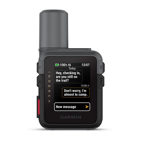
inReach® Mini 3
$799.00 Add to cart<p> <a href="https://www.garmin.com/en-AU/p/837461">Learn more about inReach satellite subscription plans</a> </p>
Overview
HOME IS CLOSER THAN YOU THINK
RUGGED DESIGN AND HIGH-RESOLUTION COLOUR TOUCHSCREEN
GET UP TO 350 HOURS OF BATTERY LIFE WITH 10-MINUTE INREACH TRACKING
FOLLOW YOUR COURSE TO YOUR DESTINATION AND BACK WHEN PAIRED WITH THE GARMIN EXPLORE™ APP ON YOUR SMARTPHONE
SHOW US WHAT YOU’VE GOT. TAG @GARMIN ON INSTAGRAM.
TEXT MESSAGES
SOS MESSAGING
LIVETRACK™ SHARING
With an active inReach satellite subscription, you can easily let friends or family follow your location while you’re on the move; no need to point your device directly toward the sky to find satellites. From your web-based LiveTrack page, they can see your progress, including distance, time and elevation.
STAY ON TRACK
Use the Garmin Explore smartphone app to enhance your experience; plan your trip and follow your course to your destination and back.
GARMIN WEATHER
Get weather reports and request forecasts for your destinations.
COMMUNICATE
CHECK-IN MESSAGES
Send simple check-in messages that do not count toward your allotted text messages.
SYNC YOUR CONTACTS
Easily find your contacts with the Garmin Messenger app and your compatible smartphone.
SEAMLESS CONNECTION
CONTROL REMOTELY
Send and receive text messages, or send an interactive SOS message remotely by connecting select compatible Garmin products.
GPS ACCURACY
The built-in antenna automatically acquires satellites to update your latitude and longitude positions. You’ll get global satellite reception in wooded, dense and remote locations.
GARMIN SHARE
Easily share saved locations and courses with friends’ compatible Garmin devices.
BUILT FOR THE BACKCOUNTRY
COLOUR TOUCHSCREEN
Tap and swipe through menus, and view photos on the 1.9″ intuitive colour touchscreen display.
RUGGED DESIGN
DIGITAL COMPASS
Get accurate bearings even while you are standing still.
BATTERY THAT LASTS
The internal, rechargeable lithium battery gives you up to 350 hours with 10-minute inReach tracking.
-

inReach® Mini 3 Plus
$899.00 Add to cart<p> <a href="https://www.garmin.com/en-AU/p/837461">Learn more about inReach satellite subscription plans</a> </p>
Overview
HOME IS CLOSER THAN YOU THINK
RUGGED DESIGN AND HIGH-RESOLUTION COLOUR TOUCHSCREEN
GET UP TO 350 HOURS OF BATTERY LIFE WITH 10-MINUTE INREACH TRACKING
FOLLOW YOUR COURSE TO YOUR DESTINATION AND BACK WHEN PAIRED WITH THE GARMIN EXPLORE™ APP ON YOUR SMARTPHONE
SHOW US WHAT YOU’VE GOT. TAG @GARMIN ON INSTAGRAM.
TEXT MESSAGES
SOS MESSAGING
LIVETRACK™ SHARING
With an active inReach satellite subscription, you can easily let friends or family follow your location while you’re on the move; no need to point your device directly toward the sky to find satellites. From your web-based LiveTrack page, they can see your progress, including distance, time and elevation.
STAY ON TRACK
Use the Garmin Explore smartphone app to enhance your experience; plan your trip and follow your course to your destination and back.
GARMIN WEATHER
Get weather reports and request forecasts for your destinations.
COMMUNICATE
CHECK-IN MESSAGES
Send simple check-in messages that do not count toward your allotted text messages.
SYNC YOUR CONTACTS
Easily find your contacts with the Garmin Messenger app and your compatible smartphone.
SEAMLESS CONNECTION
CONTROL REMOTELY
Send and receive text messages, or send an interactive SOS message remotely by connecting select compatible Garmin products.
GPS ACCURACY
The built-in antenna automatically acquires satellites to update your latitude and longitude positions. You’ll get global satellite reception in wooded, dense and remote locations.
GARMIN SHARE
Easily share saved locations and courses with friends’ compatible Garmin devices.
BUILT FOR THE BACKCOUNTRY
COLOUR TOUCHSCREEN
Tap and swipe through menus, and view photos on the 1.9″ intuitive colour touchscreen display.
RUGGED DESIGN
DIGITAL COMPASS
Get accurate bearings even while you are standing still.
BATTERY THAT LASTS
The internal, rechargeable lithium battery gives you up to 350 hours with 10-minute inReach tracking.
-
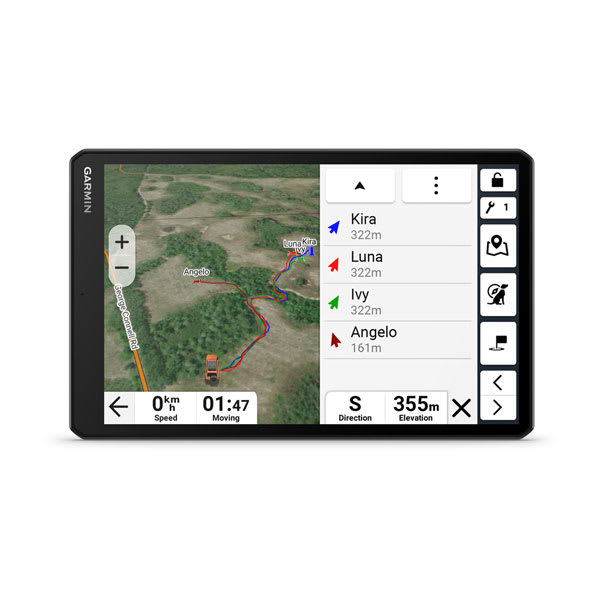
Alpha® XL
$2399.00 Add to cartOverview
TRACK YOUR PACK FROM YOUR TRUCK
CRISP HIGH-RESOLUTION 10-INCH TOUCHSCREEN
PAIRS DIRECTLY TO YOUR COMPATIBLE GARMIN DOG COLLARS AND HANDHELDS
TRACK UP TO 20 DOGS, SHOWING DISTANCE, DIRECTION AND STATUS FOR EACH
NAVIGATE YOUR HUNT WITH GARMIN MAPPING FOR ON- OR OFF-ROAD
DELIVER COMMANDS TO PAIRED DOG COLLARS VIA THE TOUCHSCREEN
CHANNEL VIEW FEATURE HELPS AVOID FREQUENCY CONGESTION
BIG, EASY-TO-READ DISPLAY
An extra-large 10-inch capacitive touchscreen provides a crisp high-resolution display for easy readability while driving.
TRACK YOUR PACK
Monitor up to 20 dogs with your compatible dog collars — from up to 9 miles away — on the color touchscreen map display. Unit is backward compatible with select Garmin collar devices, so you can track with existing equipment.
COMMAND CENTRAL
The unit’s large touchscreen lets you deliver training commands — from 18 levels of stim, tone and vibration— to your paired collars, enabling quick adjustments for individual dogs.
HUNT METRICS
CHANNEL VIEW FEATURE
Monitor the concentration of collars in the area, and easily select less congested channels to avoid interference.
SATELLITE IMAGERY
Download satellite imagery to your device via Wi-Fi® technology, and see the terrain features from above to help you navigate or find suitable habitat for your quarry.
HUNTING/TRACKING FEATURES
IN-VEHICLE TRACKING
View dog positions overlaid on topo contours or satellite image views.
WIRELESS CONNECTION
Tracker works on or off the in-vehicle dock — connecting wirelessly within 10’ for up to 2 hours.
18 LEVELS OF TRAINING
Customize commands with momentary and continuous stim plus different levels of tone or vibration.
DOG LIST/GROUP MANAGEMENT
Store up to 250 dogs in your list, and manage active groups.
PRO VIEW COMPASS
Display shows which direction and how far away dogs are — and when a dog is “treed” or “on point.”
COLLAR MONITORING
See battery level, communication state and more for paired collars.
LOCATION AND GEOFENCING ALERTS
DEVICE INTEGRATION
Enjoy wireless connectivity with a full range of compatible Garmin handhelds and dog collar devices.
BACKWARD COMPATIBLE
NAVIGATION FEATURES
MULTI-GNSS SUPPORT
Access multiple satellite systems to track your pack in more challenging environments than GPS alone.
MAPS FOR ON- AND OFF-ROAD
Get topo and street maps of North America, U.S. Forest Service roads and trails, and more.
TOPOACTIVE MAPS
See terrain contours, elevations, summits, parks, coastlines, rivers, lakes and more.
ABC SENSORS
Outdoor sensors include altimeter, barometer and 3-axis electronic compass for rugged-terrain guidance.
OUTDOOR MAPS+
Download the Alpha® app on your compatible smartphone to track your dog.
Subscribe to Outdoor Maps+, and get parcel maps and information, public land maps, hunting units and more.
-
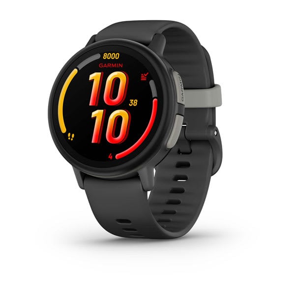
Bounce™ 2
$449.00 Add to cartOverview
BOUNCE™ 2
TWO-WAY TEXTING, CALLING AND VOICE MESSAGING BETWEEN BOUNCE 2 AND THE GARMIN JR.™ SMARTPHONE APP
KEEP TRACK OF YOUR CHILD’S LOCATION IN REAL TIME
A BRIGHT, COLOURFUL DISPLAY
BUILT-IN SPORTS APPS USE GPS TO TRACK RUNNING, BIKING, SWIMMING AND MORE
AMAZON MUSIC (SUBSCRIPTION REQUIRED) LETS KIDS LISTEN TO THEIR FAVORITE SONGS
LET THEM BE KIDS
TWO-WAY CALLING, VOICE MESSAGING AND TEXT MESSAGING
KEEP TABS ON YOUR KIDDO’S REAL-TIME LOCATION
SCHOOL MODE TURNS OFF NOTIFICATIONS
DOWNLOAD PLAYLISTS FROM AMAZON MUSIC (SUBSCRIPTION REQUIRED)
SHOW US WHAT YOU’VE GOT. TAG @GARMIN ON INSTAGRAM.
REAL-TIME LOCATION TRACKING
TWO-WAY CALLING AND VOICE MESSAGING
text messaging
With an active subscription, you can use the Garmin Jr. app to send text messages to your child’s Bounce 2 smartwatch. Kids can create their own messages and respond with a full on-device keyboard, including emojis or sound emojis, to parent-approved contacts and in family group messages.
LTE CONNECTIVITY
Assistance
TRACK SPORTS, SLEEP AND MORE
KID-APPROPRIATE FEATURES
voice commands
Kids can use voice commands to call a parent, start a timer, check the weather and more.
WATCH THEMES
Immersive designs allow your kids to customise their watch themes and watch faces to make them all their own.
AMAZON MUSIC
Let your kids jam out to their favorite tunes through their watch or compatible headphones (Amazon Music Unlimited or Amazon Prime subscription required).
CHECK-IN REMINDERS
MANAGE UP TO 50 CONTACTS
Use the Garmin Jr. app to assign parents or guardians who have full permissions to contact, locate or manage your child’s Bounce.
KID-FRIENDLY WEATHER
NO DISRUPTIONS
Use the Garmin Jr. smartphone app to turn on school mode or do-not-disturb during sleep, which includes silent and silent restricted modes, to keep your child’s smartwatch from distracting them during school hours or at night.
STOPWATCH AND ALARMS
Your kid can use a stopwatch on their wrist or set alarms and timers to help remind them when it’s time to do homework or when piano practice time is up.
PLAY FUN GAMES
Your child’s Bounce 2 smartwatch also has fun games to play during parent-approved times. They’ll get a kick out of the Copycat and math flash games.
ENDLESS FUN IN THE APP
ACTIVITY UNLOCKS ADVENTURE
Go on educational adventures, learn about famous sites, and uncover mysteries using the Garmin Jr. app
QUIZZES AND GAMES
The more active minutes kids log, the more chances they’ll get to take pop quizzes, learn fitness moves and play tap challenge and matching games in the Garmin Jr. app.
COLLECTIBLE GEMS
Meeting daily activity goals also rewards your kid with gems to reveal pictures in a scrapbook with memories of their adventures in the Garmin Jr. app.
FITNESS CARDS
Bounce 2 teaches kids basic exercise moves with fitness training cards in the Garmin Jr. app, including downward dog, mountain climbers and more.
KID MODE
Enable Kid Mode in the Garmin Jr. app to give your kid limited access to monitor and check off their own chores and to view the latest mission in their app adventure.
A HELPING HAND FOR PARENTS
MONITOR ACTIVITY
Parents can view activity, responsibilities, sleep, chore data and more in the Garmin Jr. app.
CHORES AND REWARDS
Assign chores and choose a reward virtual coin value. Kids can check off chores on their Bounce 2. And the in-app coins they earn can be redeemed for rewards.
FRIENDLY REMINDERS
When you assign chores and schedule alerts, your kid’s smartwatch will let them know with an icon that shows what needs to be done.
STAY ACTIVE TOGETHER
Link up with your kid’s friends, and connect with other families in the Garmin Jr. app. Interact with them, and compete in multifamily weekly step challenges.
-
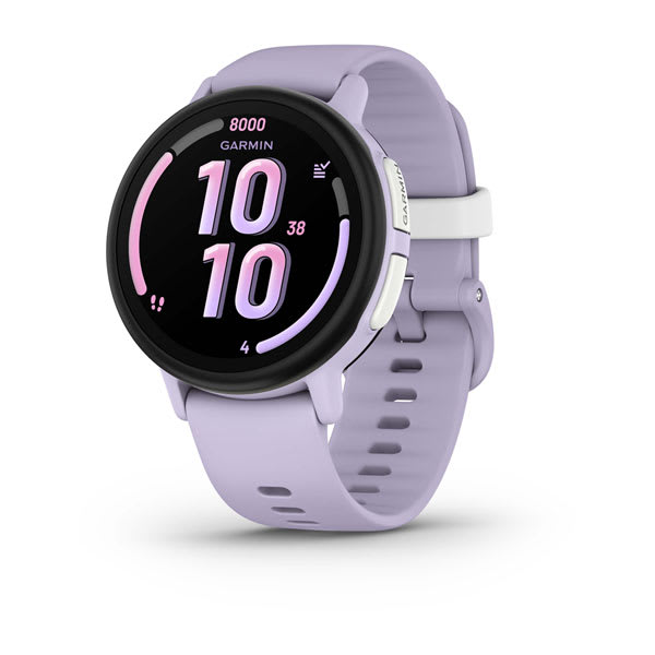
Bounce™ 2
$449.00 Add to cartOverview
BOUNCE™ 2
TWO-WAY TEXTING, CALLING AND VOICE MESSAGING BETWEEN BOUNCE 2 AND THE GARMIN JR.™ SMARTPHONE APP
KEEP TRACK OF YOUR CHILD’S LOCATION IN REAL TIME
A BRIGHT, COLOURFUL DISPLAY
BUILT-IN SPORTS APPS USE GPS TO TRACK RUNNING, BIKING, SWIMMING AND MORE
AMAZON MUSIC (SUBSCRIPTION REQUIRED) LETS KIDS LISTEN TO THEIR FAVORITE SONGS
LET THEM BE KIDS
TWO-WAY CALLING, VOICE MESSAGING AND TEXT MESSAGING
KEEP TABS ON YOUR KIDDO’S REAL-TIME LOCATION
SCHOOL MODE TURNS OFF NOTIFICATIONS
DOWNLOAD PLAYLISTS FROM AMAZON MUSIC (SUBSCRIPTION REQUIRED)
SHOW US WHAT YOU’VE GOT. TAG @GARMIN ON INSTAGRAM.
REAL-TIME LOCATION TRACKING
TWO-WAY CALLING AND VOICE MESSAGING
text messaging
With an active subscription, you can use the Garmin Jr. app to send text messages to your child’s Bounce 2 smartwatch. Kids can create their own messages and respond with a full on-device keyboard, including emojis or sound emojis, to parent-approved contacts and in family group messages.
LTE CONNECTIVITY
Assistance
TRACK SPORTS, SLEEP AND MORE
KID-APPROPRIATE FEATURES
voice commands
Kids can use voice commands to call a parent, start a timer, check the weather and more.
WATCH THEMES
Immersive designs allow your kids to customise their watch themes and watch faces to make them all their own.
AMAZON MUSIC
Let your kids jam out to their favorite tunes through their watch or compatible headphones (Amazon Music Unlimited or Amazon Prime subscription required).
CHECK-IN REMINDERS
MANAGE UP TO 50 CONTACTS
Use the Garmin Jr. app to assign parents or guardians who have full permissions to contact, locate or manage your child’s Bounce.
KID-FRIENDLY WEATHER
NO DISRUPTIONS
Use the Garmin Jr. smartphone app to turn on school mode or do-not-disturb during sleep, which includes silent and silent restricted modes, to keep your child’s smartwatch from distracting them during school hours or at night.
STOPWATCH AND ALARMS
Your kid can use a stopwatch on their wrist or set alarms and timers to help remind them when it’s time to do homework or when piano practice time is up.
PLAY FUN GAMES
Your child’s Bounce 2 smartwatch also has fun games to play during parent-approved times. They’ll get a kick out of the Copycat and math flash games.
ENDLESS FUN IN THE APP
ACTIVITY UNLOCKS ADVENTURE
Go on educational adventures, learn about famous sites, and uncover mysteries using the Garmin Jr. app
QUIZZES AND GAMES
The more active minutes kids log, the more chances they’ll get to take pop quizzes, learn fitness moves and play tap challenge and matching games in the Garmin Jr. app.
COLLECTIBLE GEMS
Meeting daily activity goals also rewards your kid with gems to reveal pictures in a scrapbook with memories of their adventures in the Garmin Jr. app.
FITNESS CARDS
Bounce 2 teaches kids basic exercise moves with fitness training cards in the Garmin Jr. app, including downward dog, mountain climbers and more.
KID MODE
Enable Kid Mode in the Garmin Jr. app to give your kid limited access to monitor and check off their own chores and to view the latest mission in their app adventure.
A HELPING HAND FOR PARENTS
MONITOR ACTIVITY
Parents can view activity, responsibilities, sleep, chore data and more in the Garmin Jr. app.
CHORES AND REWARDS
Assign chores and choose a reward virtual coin value. Kids can check off chores on their Bounce 2. And the in-app coins they earn can be redeemed for rewards.
FRIENDLY REMINDERS
When you assign chores and schedule alerts, your kid’s smartwatch will let them know with an icon that shows what needs to be done.
STAY ACTIVE TOGETHER
Link up with your kid’s friends, and connect with other families in the Garmin Jr. app. Interact with them, and compete in multifamily weekly step challenges.
-
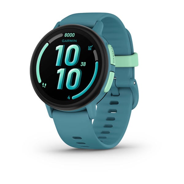
Bounce™ 2
$449.00 Add to cartOverview
BOUNCE™ 2
TWO-WAY TEXTING, CALLING AND VOICE MESSAGING BETWEEN BOUNCE 2 AND THE GARMIN JR.™ SMARTPHONE APP
KEEP TRACK OF YOUR CHILD’S LOCATION IN REAL TIME
A BRIGHT, COLOURFUL DISPLAY
BUILT-IN SPORTS APPS USE GPS TO TRACK RUNNING, BIKING, SWIMMING AND MORE
AMAZON MUSIC (SUBSCRIPTION REQUIRED) LETS KIDS LISTEN TO THEIR FAVORITE SONGS
LET THEM BE KIDS
TWO-WAY CALLING, VOICE MESSAGING AND TEXT MESSAGING
KEEP TABS ON YOUR KIDDO’S REAL-TIME LOCATION
SCHOOL MODE TURNS OFF NOTIFICATIONS
DOWNLOAD PLAYLISTS FROM AMAZON MUSIC (SUBSCRIPTION REQUIRED)
SHOW US WHAT YOU’VE GOT. TAG @GARMIN ON INSTAGRAM.
REAL-TIME LOCATION TRACKING
TWO-WAY CALLING AND VOICE MESSAGING
text messaging
With an active subscription, you can use the Garmin Jr. app to send text messages to your child’s Bounce 2 smartwatch. Kids can create their own messages and respond with a full on-device keyboard, including emojis or sound emojis, to parent-approved contacts and in family group messages.
LTE CONNECTIVITY
Assistance
TRACK SPORTS, SLEEP AND MORE
KID-APPROPRIATE FEATURES
voice commands
Kids can use voice commands to call a parent, start a timer, check the weather and more.
WATCH THEMES
Immersive designs allow your kids to customise their watch themes and watch faces to make them all their own.
AMAZON MUSIC
Let your kids jam out to their favorite tunes through their watch or compatible headphones (Amazon Music Unlimited or Amazon Prime subscription required).
CHECK-IN REMINDERS
MANAGE UP TO 50 CONTACTS
Use the Garmin Jr. app to assign parents or guardians who have full permissions to contact, locate or manage your child’s Bounce.
KID-FRIENDLY WEATHER
NO DISRUPTIONS
Use the Garmin Jr. smartphone app to turn on school mode or do-not-disturb during sleep, which includes silent and silent restricted modes, to keep your child’s smartwatch from distracting them during school hours or at night.
STOPWATCH AND ALARMS
Your kid can use a stopwatch on their wrist or set alarms and timers to help remind them when it’s time to do homework or when piano practice time is up.
PLAY FUN GAMES
Your child’s Bounce 2 smartwatch also has fun games to play during parent-approved times. They’ll get a kick out of the Copycat and math flash games.
ENDLESS FUN IN THE APP
ACTIVITY UNLOCKS ADVENTURE
Go on educational adventures, learn about famous sites, and uncover mysteries using the Garmin Jr. app
QUIZZES AND GAMES
The more active minutes kids log, the more chances they’ll get to take pop quizzes, learn fitness moves and play tap challenge and matching games in the Garmin Jr. app.
COLLECTIBLE GEMS
Meeting daily activity goals also rewards your kid with gems to reveal pictures in a scrapbook with memories of their adventures in the Garmin Jr. app.
FITNESS CARDS
Bounce 2 teaches kids basic exercise moves with fitness training cards in the Garmin Jr. app, including downward dog, mountain climbers and more.
KID MODE
Enable Kid Mode in the Garmin Jr. app to give your kid limited access to monitor and check off their own chores and to view the latest mission in their app adventure.
A HELPING HAND FOR PARENTS
MONITOR ACTIVITY
Parents can view activity, responsibilities, sleep, chore data and more in the Garmin Jr. app.
CHORES AND REWARDS
Assign chores and choose a reward virtual coin value. Kids can check off chores on their Bounce 2. And the in-app coins they earn can be redeemed for rewards.
FRIENDLY REMINDERS
When you assign chores and schedule alerts, your kid’s smartwatch will let them know with an icon that shows what needs to be done.
STAY ACTIVE TOGETHER
Link up with your kid’s friends, and connect with other families in the Garmin Jr. app. Interact with them, and compete in multifamily weekly step challenges.
-

tactix® 8 – 47 mm, AMOLED
$2299.00 Add to cartOverview
THE ULTIMATE TACTICAL SMARTWATCH
Rise above with tactix 8. It’s the ultimate tactical smartwatch, featuring a stunning AMOLED display, titanium bezel, sapphire lens, an internal speaker and mic for voice features and a 40-meter dive rating.
BRIGHT, CRISP AMOLED DISPLAY
UP TO 16 DAYS OF BATTERY LIFE IN SMARTWATCH MODE
BRIGHT, BUILT-IN MULTICOLOR LED FLASHLIGHT
REACH NEW DEPTHS WITH A 40-METER DIVE RATING
SHOW US WHAT YOU’VE GOT. TAG @GARMIN ON INSTAGRAM.
BUILT TO ENDURE
This advanced tactical GPS smartwatch features a bright 1.4-inch AMOLED display, titanium bezel and sapphire lens, and enhanced graphical interface. It’s tested to U.S. military standards for thermal, shock and water resistance.
YOU’RE IN COMMAND
Dedicated tactical features include a jumpmaster activity, waypoint projection, dual-position GPS format, stealth mode, kill switch, compatibility with night vision goggles and rucking activity.
APPLIED BALLISTICS
The preloaded Applied Ballistics solver gives you access to aiming solutions for long-range shooting in the field.
RECREATIONAL DIVING
With a 40-meter dive rating, you’re ready to go to greater depths than ever with support for scuba and apnea dive activities.
BUILT-IN FLASHLIGHT
To help guide your way in low-light conditions, a built-in multicolor LED flashlight provides quick access to a bright, steady beam in either green or white light. In NVG mode, white is disabled, and the green flashlight becomes dimmable.
TACTICAL
NIGHT VISION CAPABILITY
Whether viewed under NODs or operating in the dark, NVG mode allows for stealthy operation with controls to further dim brightness and black out the display to reduce detectability.
STEALTH MODE
While keeping the watch operational, stealth mode stops storing and sharing your GPS position and disables wireless connectivity and communication.
PROJECTED WAYPOINTS
Set and save remote geo positions to be used later for navigation.
RUCKING ACTIVITY
A dedicated rucking activity profile allows you to input your pack weight.
DIRECT-TO NAVIGATION
Navigate straight to a location or waypoint in the worldwide aeronautical database. Or choose the Nearest function to activate a path to a nearby airport.
WEATHER REPORTS
Access aviation weather, including NEXRAD radar, METARs and TAFs, to see winds, visibility, barometric pressure and more¹.
AB QUANTUM APP
STAGE TIMER
This timer gives you alerts via paired hearing protection or from the speaker, so you know the remaining time in your current course of fire or stage.
NAVIGATION
OUTDOOR MAPS+
GARMIN TRAILS
SATIQ TECHNOLOGY
Get superior positioning accuracy with multi-band GPS while optimising battery life.
MULTICONTINENT TOPO MAPS
NEXTFORK™ MAP GUIDE
Navigate with a quick glance, and see the distance to the next intersection and the trail name.
UP AHEAD FEATURE
COURSES WITH TURN-BY-TURN DIRECTIONS
SKIVIEW™ MAPS
GOLF COURSE MAPS
PERFORM
TRAIN HARD
Power up your body’s performance, endurance and resistance to injury with targeted strength training plans, real-time stamina tracking, sport-specific workouts and a full range of built-in sports apps.
ENDURANCE SCORE
VISUAL RACE PREDICTOR
COURSE PLANNER
PACEPRO™ TECHNOLOGY
CLIMBPRO FEATURE
GRADE-ADJUSTED PACE
Get your equivalent running pace at the same effort on flat ground or when ascending.
TRAINING READINESS
From the moment you wake up, get a readiness score based on your sleep quality², recovery, training load and more, so you can determine if it’s a good day to go hard — or take it easy.
TRAINING STATUS
PERFORMANCE METRICS
MULTISPORT AUTO TRANSITION
This feature detects sport changes between swim, bike and run in multisport activities — so you can focus on the race and let your smartwatch take care of recording splits.
HILL SCORE
DAILY SUGGESTED WORKOUTS
RECOVERY TIME
RACE WIDGET
WRIST-BASED RUNNING DYNAMICS
View crucial running metrics such as cadence, stride length, ground contact time and more.
GARMIN COACH
Reach your goals with Garmin Coach training plans for running, cycling, strength and fitness; some even adapt based on your health and fitness metrics.
RUNNING ECONOMY
Measure your overall energy efficiency while running — using long-term running volume, stride length and step speed loss, which tells you how much you slow down when your foot hits the ground — when you pair your watch with the HRM 600 monitor (sold separately).
RUNNING TOLERANCE
Better understand the impact each run has on your body, and get a recommended weekly maximum mileage so you can keep training effectively without taking on too much.
STEP SPEED LOSS
Improve your running form and understand how much you slow down when your foot hits the ground when you pair your watch with the HRM 600 monitor (sold separately).
ACTIVITIES AND FUNCTIONS
TRACK YOUR ACTIVITIES
Use preloaded activity profiles to get data and insight from your active pursuits. Even track team sport activities such as football, racquet sports and more.
HIIT WORKOUTS
Track your HIIT workouts, including AMRAP, EMOM, Tabata or custom workouts.
ANIMATED WORKOUTS
Follow animated workouts for cardio, strength, yoga and Pilates on the watch screen.
BACKCOUNTRY SKI AND SNOWBOARD
Automatically track ascents and descents along with how much time you spend between runs.
XC SKI POWER
Measure exercise load when paired with an HRM-Pro™ Plus heart rate monitor (sold separately).
MTB DYNAMICS
HEALTH
MORNING REPORT
Get a customisable overview of your sleep², training outlook, HRV status, weather and more as soon as you wake up.
EVENING REPORT
Prepare for tomorrow before bed with a reminder of sleep need, tomorrow’s workout, weather and events.
HRV STATUS
WRIST-BASED HEART RATE
GARMIN ECG APP
PULSE OX SENSOR
SLEEP COACH
BREATHING VARIATIONS
LIFESTYLE LOGGING
Log behaviours — such as caffeine and alcohol intake — and view reports on how they impact your health in the Garmin Connect™ app.
NAP DETECTION
JET LAG ADVISER
HEALTH STATUS
Look for changes in your health data that could indicate added stress to your body, so you can know when you’re trending away from your usual range.
BODY BATTERY™ ENERGY MONITORING
STRESS TRACKING
HEALTH SNAPSHOT™ FEATURE
RESPIRATION TRACKING
HYDRATION TRACKING
ALTITUDE AND HEAT ACCLIMATION
SMART WAKE ALARM
Wake up more refreshed. The smart wake alarm gently vibrates to wake you at the optimal time.
MOBILITY
Increase your flexibility and strength with new downloadable mobility workouts available for free in the Garmin Connect™ app and an activity profile.
CONNECTED FEATURES
BUILT-IN SPEAKER AND MICROPHONE
Make and take phone calls from your watch when it’s paired to your smartphone. Plus, control watch functions with off-grid voice commands — or use your smartphone’s voice assistant to respond to text messages and more.
GARMIN CONNECT APP
See your health and fitness information, connect with friends and more.
GARMIN MESSENGER™ APP
SMART NOTIFICATIONS
Receive emails, texts and alerts on your smartwatch when paired with your Apple or Android smartphone.
WORKS WITH WHATSAPP
MUSIC
Download songs and playlists from your Spotify, Deezer, Amazon Music or YouTube® Music accounts for phone-free listening (subscription may be required).
GARMIN PAY™ CONTACTLESS PAYMENTS
GARMIN SHARE
Use this feature to easily share saved locations, courses and workouts with friends’ compatible Garmin devices.
SAFETY AND TRACKING FEATURES
STOCKS TRACKER
SPORTS SCORES
Live data, schedules and standings for 15 different sports leagues when paired to your smartphone.
CONNECT IQ™ STORE
POWER MANAGER
View how various settings and sensors impact your smartwatch’s battery life.
-

tactix® 8 – 51 mm, AMOLED
$2449.00 Add to cartOverview
THE ULTIMATE TACTICAL SMARTWATCH
Rise above with tactix 8. It’s the ultimate tactical smartwatch, featuring a stunning AMOLED display, titanium bezel, sapphire lens, an internal speaker and mic for voice features and a 40-meter dive rating.
BRIGHT, CRISP AMOLED DISPLAY
UP TO 16 DAYS OF BATTERY LIFE IN SMARTWATCH MODE
BRIGHT, BUILT-IN MULTICOLOR LED FLASHLIGHT
REACH NEW DEPTHS WITH A 40-METER DIVE RATING
SHOW US WHAT YOU’VE GOT. TAG @GARMIN ON INSTAGRAM.
BUILT TO ENDURE
This advanced tactical GPS smartwatch features a bright 1.4-inch AMOLED display, titanium bezel and sapphire lens, and enhanced graphical interface. It’s tested to U.S. military standards for thermal, shock and water resistance.
YOU’RE IN COMMAND
Dedicated tactical features include a jumpmaster activity, waypoint projection, dual-position GPS format, stealth mode, kill switch, compatibility with night vision goggles and rucking activity.
APPLIED BALLISTICS
The preloaded Applied Ballistics solver gives you access to aiming solutions for long-range shooting in the field.
RECREATIONAL DIVING
With a 40-meter dive rating, you’re ready to go to greater depths than ever with support for scuba and apnea dive activities.
BUILT-IN FLASHLIGHT
To help guide your way in low-light conditions, a built-in multicolor LED flashlight provides quick access to a bright, steady beam in either green or white light. In NVG mode, white is disabled, and the green flashlight becomes dimmable.
TACTICAL
NIGHT VISION CAPABILITY
Whether viewed under NODs or operating in the dark, NVG mode allows for stealthy operation with controls to further dim brightness and black out the display to reduce detectability.
STEALTH MODE
While keeping the watch operational, stealth mode stops storing and sharing your GPS position and disables wireless connectivity and communication.
PROJECTED WAYPOINTS
Set and save remote geo positions to be used later for navigation.
RUCKING ACTIVITY
A dedicated rucking activity profile allows you to input your pack weight.
DIRECT-TO NAVIGATION
Navigate straight to a location or waypoint in the worldwide aeronautical database. Or choose the Nearest function to activate a path to a nearby airport.
WEATHER REPORTS
Access aviation weather, including NEXRAD radar, METARs and TAFs, to see winds, visibility, barometric pressure and more¹.
AB QUANTUM APP
STAGE TIMER
This timer gives you alerts via paired hearing protection or from the speaker, so you know the remaining time in your current course of fire or stage.
NAVIGATION
OUTDOOR MAPS+
GARMIN TRAILS
SATIQ TECHNOLOGY
Get superior positioning accuracy with multi-band GPS while optimising battery life.
MULTICONTINENT TOPO MAPS
NEXTFORK™ MAP GUIDE
Navigate with a quick glance, and see the distance to the next intersection and the trail name.
UP AHEAD FEATURE
COURSES WITH TURN-BY-TURN DIRECTIONS
SKIVIEW™ MAPS
GOLF COURSE MAPS
PERFORM
TRAIN HARD
Power up your body’s performance, endurance and resistance to injury with targeted strength training plans, real-time stamina tracking, sport-specific workouts and a full range of built-in sports apps.
ENDURANCE SCORE
VISUAL RACE PREDICTOR
COURSE PLANNER
PACEPRO™ TECHNOLOGY
CLIMBPRO FEATURE
GRADE-ADJUSTED PACE
Get your equivalent running pace at the same effort on flat ground or when ascending.
TRAINING READINESS
From the moment you wake up, get a readiness score based on your sleep quality², recovery, training load and more, so you can determine if it’s a good day to go hard — or take it easy.
TRAINING STATUS
PERFORMANCE METRICS
MULTISPORT AUTO TRANSITION
This feature detects sport changes between swim, bike and run in multisport activities — so you can focus on the race and let your smartwatch take care of recording splits.
HILL SCORE
DAILY SUGGESTED WORKOUTS
RECOVERY TIME
RACE WIDGET
WRIST-BASED RUNNING DYNAMICS
View crucial running metrics such as cadence, stride length, ground contact time and more.
GARMIN COACH
Reach your goals with Garmin Coach training plans for running, cycling, strength and fitness; some even adapt based on your health and fitness metrics.
RUNNING ECONOMY
Measure your overall energy efficiency while running — using long-term running volume, stride length and step speed loss, which tells you how much you slow down when your foot hits the ground — when you pair your watch with the HRM 600 monitor (sold separately).
RUNNING TOLERANCE
Better understand the impact each run has on your body, and get a recommended weekly maximum mileage so you can keep training effectively without taking on too much.
STEP SPEED LOSS
Improve your running form and understand how much you slow down when your foot hits the ground when you pair your watch with the HRM 600 monitor (sold separately).
ACTIVITIES AND FUNCTIONS
TRACK YOUR ACTIVITIES
Use preloaded activity profiles to get data and insight from your active pursuits. Even track team sport activities such as football, racquet sports and more.
HIIT WORKOUTS
Track your HIIT workouts, including AMRAP, EMOM, Tabata or custom workouts.
ANIMATED WORKOUTS
Follow animated workouts for cardio, strength, yoga and Pilates on the watch screen.
BACKCOUNTRY SKI AND SNOWBOARD
Automatically track ascents and descents along with how much time you spend between runs.
XC SKI POWER
Measure exercise load when paired with an HRM-Pro™ Plus heart rate monitor (sold separately).
MTB DYNAMICS
HEALTH
MORNING REPORT
Get a customisable overview of your sleep², training outlook, HRV status, weather and more as soon as you wake up.
EVENING REPORT
Prepare for tomorrow before bed with a reminder of sleep need, tomorrow’s workout, weather and events.
HRV STATUS
WRIST-BASED HEART RATE
GARMIN ECG APP
PULSE OX SENSOR
SLEEP COACH
BREATHING VARIATIONS
LIFESTYLE LOGGING
Log behaviours — such as caffeine and alcohol intake — and view reports on how they impact your health in the Garmin Connect™ app.
NAP DETECTION
JET LAG ADVISER
HEALTH STATUS
Look for changes in your health data that could indicate added stress to your body, so you can know when you’re trending away from your usual range.
BODY BATTERY™ ENERGY MONITORING
STRESS TRACKING
HEALTH SNAPSHOT™ FEATURE
RESPIRATION TRACKING
HYDRATION TRACKING
ALTITUDE AND HEAT ACCLIMATION
SMART WAKE ALARM
Wake up more refreshed. The smart wake alarm gently vibrates to wake you at the optimal time.
MOBILITY
Increase your flexibility and strength with new downloadable mobility workouts available for free in the Garmin Connect™ app and an activity profile.
CONNECTED FEATURES
BUILT-IN SPEAKER AND MICROPHONE
Make and take phone calls from your watch when it’s paired to your smartphone. Plus, control watch functions with off-grid voice commands — or use your smartphone’s voice assistant to respond to text messages and more.
GARMIN CONNECT APP
See your health and fitness information, connect with friends and more.
GARMIN MESSENGER™ APP
SMART NOTIFICATIONS
Receive emails, texts and alerts on your smartwatch when paired with your Apple or Android smartphone.
WORKS WITH WHATSAPP
MUSIC
Download songs and playlists from your Spotify, Deezer, Amazon Music or YouTube® Music accounts for phone-free listening (subscription may be required).
GARMIN PAY™ CONTACTLESS PAYMENTS
GARMIN SHARE
Use this feature to easily share saved locations, courses and workouts with friends’ compatible Garmin devices.
SAFETY AND TRACKING FEATURES
STOCKS TRACKER
SPORTS SCORES
Live data, schedules and standings for 15 different sports leagues when paired to your smartphone.
CONNECT IQ™ STORE
POWER MANAGER
View how various settings and sensors impact your smartwatch’s battery life.
-

tactix® 8 – 51 mm, Solar
$2449.00 Add to cartOverview
THE ULTIMATE TACTICAL SMARTWATCH
Rise above with tactix 8. It’s the ultimate tactical smartwatch, featuring a stunning AMOLED display, titanium bezel, sapphire lens, an internal speaker and mic for voice features and a 40-meter dive rating.
BRIGHT, CRISP AMOLED DISPLAY
UP TO 16 DAYS OF BATTERY LIFE IN SMARTWATCH MODE
BRIGHT, BUILT-IN MULTICOLOR LED FLASHLIGHT
REACH NEW DEPTHS WITH A 40-METER DIVE RATING
SHOW US WHAT YOU’VE GOT. TAG @GARMIN ON INSTAGRAM.
BUILT TO ENDURE
This advanced tactical GPS smartwatch features a bright 1.4-inch AMOLED display, titanium bezel and sapphire lens, and enhanced graphical interface. It’s tested to U.S. military standards for thermal, shock and water resistance.
YOU’RE IN COMMAND
Dedicated tactical features include a jumpmaster activity, waypoint projection, dual-position GPS format, stealth mode, kill switch, compatibility with night vision goggles and rucking activity.
APPLIED BALLISTICS
The preloaded Applied Ballistics solver gives you access to aiming solutions for long-range shooting in the field.
RECREATIONAL DIVING
With a 40-meter dive rating, you’re ready to go to greater depths than ever with support for scuba and apnea dive activities.
BUILT-IN FLASHLIGHT
To help guide your way in low-light conditions, a built-in multicolor LED flashlight provides quick access to a bright, steady beam in either green or white light. In NVG mode, white is disabled, and the green flashlight becomes dimmable.
TACTICAL
NIGHT VISION CAPABILITY
Whether viewed under NODs or operating in the dark, NVG mode allows for stealthy operation with controls to further dim brightness and black out the display to reduce detectability.
STEALTH MODE
While keeping the watch operational, stealth mode stops storing and sharing your GPS position and disables wireless connectivity and communication.
PROJECTED WAYPOINTS
Set and save remote geo positions to be used later for navigation.
RUCKING ACTIVITY
A dedicated rucking activity profile allows you to input your pack weight.
DIRECT-TO NAVIGATION
Navigate straight to a location or waypoint in the worldwide aeronautical database. Or choose the Nearest function to activate a path to a nearby airport.
WEATHER REPORTS
Access aviation weather, including NEXRAD radar, METARs and TAFs, to see winds, visibility, barometric pressure and more¹.
AB QUANTUM APP
STAGE TIMER
This timer gives you alerts via paired hearing protection or from the speaker, so you know the remaining time in your current course of fire or stage.
NAVIGATION
OUTDOOR MAPS+
GARMIN TRAILS
SATIQ TECHNOLOGY
Get superior positioning accuracy with multi-band GPS while optimising battery life.
MULTICONTINENT TOPO MAPS
NEXTFORK™ MAP GUIDE
Navigate with a quick glance, and see the distance to the next intersection and the trail name.
UP AHEAD FEATURE
COURSES WITH TURN-BY-TURN DIRECTIONS
SKIVIEW™ MAPS
GOLF COURSE MAPS
PERFORM
TRAIN HARD
Power up your body’s performance, endurance and resistance to injury with targeted strength training plans, real-time stamina tracking, sport-specific workouts and a full range of built-in sports apps.
ENDURANCE SCORE
VISUAL RACE PREDICTOR
COURSE PLANNER
PACEPRO™ TECHNOLOGY
CLIMBPRO FEATURE
GRADE-ADJUSTED PACE
Get your equivalent running pace at the same effort on flat ground or when ascending.
TRAINING READINESS
From the moment you wake up, get a readiness score based on your sleep quality², recovery, training load and more, so you can determine if it’s a good day to go hard — or take it easy.
TRAINING STATUS
PERFORMANCE METRICS
MULTISPORT AUTO TRANSITION
This feature detects sport changes between swim, bike and run in multisport activities — so you can focus on the race and let your smartwatch take care of recording splits.
HILL SCORE
DAILY SUGGESTED WORKOUTS
RECOVERY TIME
RACE WIDGET
WRIST-BASED RUNNING DYNAMICS
View crucial running metrics such as cadence, stride length, ground contact time and more.
GARMIN COACH
Reach your goals with Garmin Coach training plans for running, cycling, strength and fitness; some even adapt based on your health and fitness metrics.
RUNNING ECONOMY
Measure your overall energy efficiency while running — using long-term running volume, stride length and step speed loss, which tells you how much you slow down when your foot hits the ground — when you pair your watch with the HRM 600 monitor (sold separately).
RUNNING TOLERANCE
Better understand the impact each run has on your body, and get a recommended weekly maximum mileage so you can keep training effectively without taking on too much.
STEP SPEED LOSS
Improve your running form and understand how much you slow down when your foot hits the ground when you pair your watch with the HRM 600 monitor (sold separately).
ACTIVITIES AND FUNCTIONS
TRACK YOUR ACTIVITIES
Use preloaded activity profiles to get data and insight from your active pursuits. Even track team sport activities such as football, racquet sports and more.
HIIT WORKOUTS
Track your HIIT workouts, including AMRAP, EMOM, Tabata or custom workouts.
ANIMATED WORKOUTS
Follow animated workouts for cardio, strength, yoga and Pilates on the watch screen.
BACKCOUNTRY SKI AND SNOWBOARD
Automatically track ascents and descents along with how much time you spend between runs.
XC SKI POWER
Measure exercise load when paired with an HRM-Pro™ Plus heart rate monitor (sold separately).
MTB DYNAMICS
HEALTH
MORNING REPORT
Get a customisable overview of your sleep², training outlook, HRV status, weather and more as soon as you wake up.
EVENING REPORT
Prepare for tomorrow before bed with a reminder of sleep need, tomorrow’s workout, weather and events.
HRV STATUS
WRIST-BASED HEART RATE
GARMIN ECG APP
PULSE OX SENSOR
SLEEP COACH
BREATHING VARIATIONS
LIFESTYLE LOGGING
Log behaviours — such as caffeine and alcohol intake — and view reports on how they impact your health in the Garmin Connect™ app.
NAP DETECTION
JET LAG ADVISER
HEALTH STATUS
Look for changes in your health data that could indicate added stress to your body, so you can know when you’re trending away from your usual range.
BODY BATTERY™ ENERGY MONITORING
STRESS TRACKING
HEALTH SNAPSHOT™ FEATURE
RESPIRATION TRACKING
HYDRATION TRACKING
ALTITUDE AND HEAT ACCLIMATION
SMART WAKE ALARM
Wake up more refreshed. The smart wake alarm gently vibrates to wake you at the optimal time.
MOBILITY
Increase your flexibility and strength with new downloadable mobility workouts available for free in the Garmin Connect™ app and an activity profile.
CONNECTED FEATURES
BUILT-IN SPEAKER AND MICROPHONE
Make and take phone calls from your watch when it’s paired to your smartphone. Plus, control watch functions with off-grid voice commands — or use your smartphone’s voice assistant to respond to text messages and more.
GARMIN CONNECT APP
See your health and fitness information, connect with friends and more.
GARMIN MESSENGER™ APP
SMART NOTIFICATIONS
Receive emails, texts and alerts on your smartwatch when paired with your Apple or Android smartphone.
WORKS WITH WHATSAPP
MUSIC
Download songs and playlists from your Spotify, Deezer, Amazon Music or YouTube® Music accounts for phone-free listening (subscription may be required).
GARMIN PAY™ CONTACTLESS PAYMENTS
GARMIN SHARE
Use this feature to easily share saved locations, courses and workouts with friends’ compatible Garmin devices.
SAFETY AND TRACKING FEATURES
STOCKS TRACKER
SPORTS SCORES
Live data, schedules and standings for 15 different sports leagues when paired to your smartphone.
CONNECT IQ™ STORE
POWER MANAGER
View how various settings and sensors impact your smartwatch’s battery life.
-

tactix® 8 – 51 mm, Solar, Elite
$2799.01 Add to cartOverview
THE ULTIMATE TACTICAL SMARTWATCH
Rise above with tactix 8. It’s the ultimate tactical smartwatch, featuring a stunning AMOLED display, titanium bezel, sapphire lens, an internal speaker and mic for voice features and a 40-meter dive rating.
BRIGHT, CRISP AMOLED DISPLAY
UP TO 16 DAYS OF BATTERY LIFE IN SMARTWATCH MODE
BRIGHT, BUILT-IN MULTICOLOR LED FLASHLIGHT
REACH NEW DEPTHS WITH A 40-METER DIVE RATING
SHOW US WHAT YOU’VE GOT. TAG @GARMIN ON INSTAGRAM.
BUILT TO ENDURE
This advanced tactical GPS smartwatch features a bright 1.4-inch AMOLED display, titanium bezel and sapphire lens, and enhanced graphical interface. It’s tested to U.S. military standards for thermal, shock and water resistance.
YOU’RE IN COMMAND
Dedicated tactical features include a jumpmaster activity, waypoint projection, dual-position GPS format, stealth mode, kill switch, compatibility with night vision goggles and rucking activity.
APPLIED BALLISTICS
The preloaded Applied Ballistics solver gives you access to aiming solutions for long-range shooting in the field.
RECREATIONAL DIVING
With a 40-meter dive rating, you’re ready to go to greater depths than ever with support for scuba and apnea dive activities.
BUILT-IN FLASHLIGHT
To help guide your way in low-light conditions, a built-in multicolor LED flashlight provides quick access to a bright, steady beam in either green or white light. In NVG mode, white is disabled, and the green flashlight becomes dimmable.
TACTICAL
NIGHT VISION CAPABILITY
Whether viewed under NODs or operating in the dark, NVG mode allows for stealthy operation with controls to further dim brightness and black out the display to reduce detectability.
STEALTH MODE
While keeping the watch operational, stealth mode stops storing and sharing your GPS position and disables wireless connectivity and communication.
PROJECTED WAYPOINTS
Set and save remote geo positions to be used later for navigation.
RUCKING ACTIVITY
A dedicated rucking activity profile allows you to input your pack weight.
DIRECT-TO NAVIGATION
Navigate straight to a location or waypoint in the worldwide aeronautical database. Or choose the Nearest function to activate a path to a nearby airport.
WEATHER REPORTS
Access aviation weather, including NEXRAD radar, METARs and TAFs, to see winds, visibility, barometric pressure and more¹.
AB QUANTUM APP
STAGE TIMER
This timer gives you alerts via paired hearing protection or from the speaker, so you know the remaining time in your current course of fire or stage.
NAVIGATION
OUTDOOR MAPS+
GARMIN TRAILS
SATIQ TECHNOLOGY
Get superior positioning accuracy with multi-band GPS while optimising battery life.
MULTICONTINENT TOPO MAPS
NEXTFORK™ MAP GUIDE
Navigate with a quick glance, and see the distance to the next intersection and the trail name.
UP AHEAD FEATURE
COURSES WITH TURN-BY-TURN DIRECTIONS
SKIVIEW™ MAPS
GOLF COURSE MAPS
PERFORM
TRAIN HARD
Power up your body’s performance, endurance and resistance to injury with targeted strength training plans, real-time stamina tracking, sport-specific workouts and a full range of built-in sports apps.
ENDURANCE SCORE
VISUAL RACE PREDICTOR
COURSE PLANNER
PACEPRO™ TECHNOLOGY
CLIMBPRO FEATURE
GRADE-ADJUSTED PACE
Get your equivalent running pace at the same effort on flat ground or when ascending.
TRAINING READINESS
From the moment you wake up, get a readiness score based on your sleep quality², recovery, training load and more, so you can determine if it’s a good day to go hard — or take it easy.
TRAINING STATUS
PERFORMANCE METRICS
MULTISPORT AUTO TRANSITION
This feature detects sport changes between swim, bike and run in multisport activities — so you can focus on the race and let your smartwatch take care of recording splits.
HILL SCORE
DAILY SUGGESTED WORKOUTS
RECOVERY TIME
RACE WIDGET
WRIST-BASED RUNNING DYNAMICS
View crucial running metrics such as cadence, stride length, ground contact time and more.
GARMIN COACH
Reach your goals with Garmin Coach training plans for running, cycling, strength and fitness; some even adapt based on your health and fitness metrics.
RUNNING ECONOMY
Measure your overall energy efficiency while running — using long-term running volume, stride length and step speed loss, which tells you how much you slow down when your foot hits the ground — when you pair your watch with the HRM 600 monitor (sold separately).
RUNNING TOLERANCE
Better understand the impact each run has on your body, and get a recommended weekly maximum mileage so you can keep training effectively without taking on too much.
STEP SPEED LOSS
Improve your running form and understand how much you slow down when your foot hits the ground when you pair your watch with the HRM 600 monitor (sold separately).
ACTIVITIES AND FUNCTIONS
TRACK YOUR ACTIVITIES
Use preloaded activity profiles to get data and insight from your active pursuits. Even track team sport activities such as football, racquet sports and more.
HIIT WORKOUTS
Track your HIIT workouts, including AMRAP, EMOM, Tabata or custom workouts.
ANIMATED WORKOUTS
Follow animated workouts for cardio, strength, yoga and Pilates on the watch screen.
BACKCOUNTRY SKI AND SNOWBOARD
Automatically track ascents and descents along with how much time you spend between runs.
XC SKI POWER
Measure exercise load when paired with an HRM-Pro™ Plus heart rate monitor (sold separately).
MTB DYNAMICS
HEALTH
MORNING REPORT
Get a customisable overview of your sleep², training outlook, HRV status, weather and more as soon as you wake up.
EVENING REPORT
Prepare for tomorrow before bed with a reminder of sleep need, tomorrow’s workout, weather and events.
HRV STATUS
WRIST-BASED HEART RATE
GARMIN ECG APP
PULSE OX SENSOR
SLEEP COACH
BREATHING VARIATIONS
LIFESTYLE LOGGING
Log behaviours — such as caffeine and alcohol intake — and view reports on how they impact your health in the Garmin Connect™ app.
NAP DETECTION
JET LAG ADVISER
HEALTH STATUS
Look for changes in your health data that could indicate added stress to your body, so you can know when you’re trending away from your usual range.
BODY BATTERY™ ENERGY MONITORING
STRESS TRACKING
HEALTH SNAPSHOT™ FEATURE
RESPIRATION TRACKING
HYDRATION TRACKING
ALTITUDE AND HEAT ACCLIMATION
SMART WAKE ALARM
Wake up more refreshed. The smart wake alarm gently vibrates to wake you at the optimal time.
MOBILITY
Increase your flexibility and strength with new downloadable mobility workouts available for free in the Garmin Connect™ app and an activity profile.
CONNECTED FEATURES
BUILT-IN SPEAKER AND MICROPHONE
Make and take phone calls from your watch when it’s paired to your smartphone. Plus, control watch functions with off-grid voice commands — or use your smartphone’s voice assistant to respond to text messages and more.
GARMIN CONNECT APP
See your health and fitness information, connect with friends and more.
GARMIN MESSENGER™ APP
SMART NOTIFICATIONS
Receive emails, texts and alerts on your smartwatch when paired with your Apple or Android smartphone.
WORKS WITH WHATSAPP
MUSIC
Download songs and playlists from your Spotify, Deezer, Amazon Music or YouTube® Music accounts for phone-free listening (subscription may be required).
GARMIN PAY™ CONTACTLESS PAYMENTS
GARMIN SHARE
Use this feature to easily share saved locations, courses and workouts with friends’ compatible Garmin devices.
SAFETY AND TRACKING FEATURES
STOCKS TRACKER
SPORTS SCORES
Live data, schedules and standings for 15 different sports leagues when paired to your smartphone.
CONNECT IQ™ STORE
POWER MANAGER
View how various settings and sensors impact your smartwatch’s battery life.
-
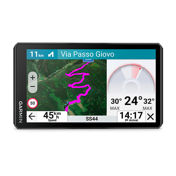
zūmo® XT3
$999.00 Add to cartOverview
THE LIFE OF YOUR RIDE
BUILT TO WITHSTAND WEATHER AND VIBRATION
RIDE WITH DETAILED STREET, TOPOGRAPHIC MAPS AND SATELLITE IMAGERY
SEE YOUR LEAN ANGLE, G-FORCE, MAX SPEED AND MORE
FIND THE TWISTS AND TURNS WITH THE GARMIN ADVENTUROUS ROUTING™ SETTING
ACTIVATE A PLAN FOR GARMIN PERFORMANCE PACKAGE™ DRAG RACING FEATURES
SHOW US WHAT YOU’VE GOT. TAG @GARMIN ON INSTAGRAM.
LEAN ANGLES
GROUP TRACKING
FIND NEW ROUTES
Find new routes with the great rides feature on the Tread smartphone app; bookmark them, and they will automatically sync to your device. You can add difficulty ratings and upload photos to share with other riders.
VISUAL ROUTE PLANNER
Plan a custom route on the device, or use the Tread app with a compatible smartphone. Select custom routing features such as curves, hills or scenic byways. You can also import your own route via GPX, KML or KMZ files.
DRAG RACE TIMER
LAP TIME REVIEW
POPULAR PATHS
See popular moto paths ridden by other riders to find new and exciting routes to explore.
GARMIN ADVENTUROUS ROUTING
Straight roads are boring. Find the most thrilling routes with hills, curves and sights, and choose from 4 levels of difficulty.
SATELLITE IMAGERY
MUSIC AND DIRECTIONS
Keep your headset paired to your phone, then control your music or hear turn-by-turn directions from your sat nav. Turn prompts will be sent to your headset through the phone.
TRAFFIC AND WEATHER
Access real-time traffic and weather, share routes with other riders, and get phone notifications via the Tread app³.
SEEK ADVENTURE
OUTDOOR MAPS+
TRACK RECORDER
Record your ride data — such as speed, distance, lean angles, acceleration and more — and share the details with friends on the Tread app.
MANAGE YOUR DATA
Easily manage³ tracks and routes across your sat nav and compatible smartphone by using the Tread app.
RIDER ALERTS
Get alerts for hazards, such as upcoming sharp curves, speed changes and more, along your route.
INCIDENT NOTIFICATIONS
If an incident is detected, a text message with location information is automatically sent to your predetermined contact³.
MORE FOR MOTO
BLIND-SPOT MONITORING
HANDLEBAR CONTROLLER
OFF-GRID COMMUNICATION
FREE RIDE
Enjoy the freedom to explore with simple compass navigation showing an arrow with distance and direction to your destination.
WIRELESS UPDATES
-

zūmo® XT3
$849.00 Add to cartOverview
THE LIFE OF YOUR RIDE
BUILT TO WITHSTAND WEATHER AND VIBRATION
RIDE WITH DETAILED STREET, TOPOGRAPHIC MAPS AND SATELLITE IMAGERY
SEE YOUR LEAN ANGLE, G-FORCE, MAX SPEED AND MORE
FIND THE TWISTS AND TURNS WITH THE GARMIN ADVENTUROUS ROUTING™ SETTING
ACTIVATE A PLAN FOR GARMIN PERFORMANCE PACKAGE™ DRAG RACING FEATURES
SHOW US WHAT YOU’VE GOT. TAG @GARMIN ON INSTAGRAM.
LEAN ANGLES
GROUP TRACKING
FIND NEW ROUTES
Find new routes with the great rides feature on the Tread smartphone app; bookmark them, and they will automatically sync to your device. You can add difficulty ratings and upload photos to share with other riders.
VISUAL ROUTE PLANNER
Plan a custom route on the device, or use the Tread app with a compatible smartphone. Select custom routing features such as curves, hills or scenic byways. You can also import your own route via GPX, KML or KMZ files.
DRAG RACE TIMER
LAP TIME REVIEW
POPULAR PATHS
See popular moto paths ridden by other riders to find new and exciting routes to explore.
GARMIN ADVENTUROUS ROUTING
Straight roads are boring. Find the most thrilling routes with hills, curves and sights, and choose from 4 levels of difficulty.
SATELLITE IMAGERY
MUSIC AND DIRECTIONS
Keep your headset paired to your phone, then control your music or hear turn-by-turn directions from your sat nav. Turn prompts will be sent to your headset through the phone.
TRAFFIC AND WEATHER
Access real-time traffic and weather, share routes with other riders, and get phone notifications via the Tread app³.
SEEK ADVENTURE
OUTDOOR MAPS+
TRACK RECORDER
Record your ride data — such as speed, distance, lean angles, acceleration and more — and share the details with friends on the Tread app.
MANAGE YOUR DATA
Easily manage³ tracks and routes across your sat nav and compatible smartphone by using the Tread app.
RIDER ALERTS
Get alerts for hazards, such as upcoming sharp curves, speed changes and more, along your route.
INCIDENT NOTIFICATIONS
If an incident is detected, a text message with location information is automatically sent to your predetermined contact³.
MORE FOR MOTO
BLIND-SPOT MONITORING
HANDLEBAR CONTROLLER
OFF-GRID COMMUNICATION
FREE RIDE
Enjoy the freedom to explore with simple compass navigation showing an arrow with distance and direction to your destination.
WIRELESS UPDATES
-
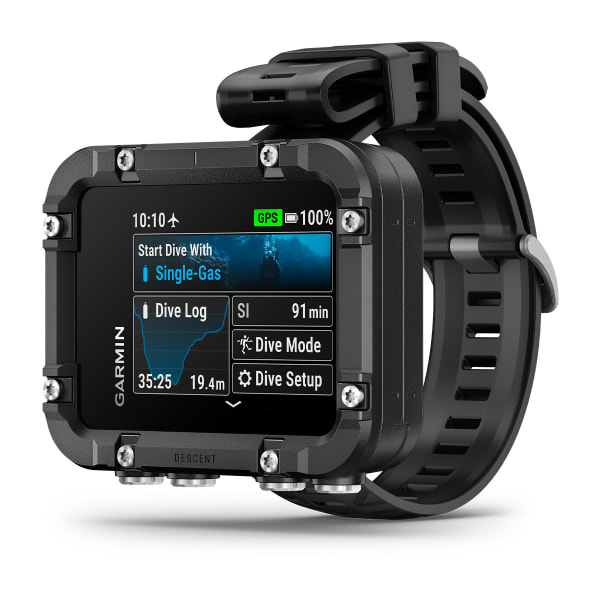
Descent™ X30
$1299.00 Add to cartOverview
THE OCEAN IS CALLING. YOU ARE BOLD ENOUGH TO ANSWER.
Bigger. Bolder. Brighter. The Descent™ X50i dive computer features a 3-inch touchscreen display to show your dive stats in stunning detail.
20 ATM DIVE-RATED WITH LEAKPROOF BUTTONS
CHOOSE FROM MULTIPLE DIVE MODES
DIVEVIEW™ COLOUR MAPS WITH DEPTH CONTOURS AND DIVE SITES
INTEGRATED BACKUP DIVE LIGHT SHOWS YOU THE WAY
SHOW US WHAT YOU’VE GOT. TAG @GARMIN ON INSTAGRAM.
3-INCH VIBRANT COLOUR TOUCHSCREEN DISPLAY
AIR INTEGRATION
SUBWAVE SONAR NETWORKING
DIVEVIEW MAPS
An extension of preloaded TopoActive maps, DiveView maps offer bathymetric depth contours for 4,000+ dive sites to help you find where to dive and provide information to prepare you.
TECHNICAL DATA FIELDS
See multiple data fields that will help you understand your current decompression needs and make real-time decisions with confidence.
BUILT FOR NEW DEPTHS
The Descent X50i dive computer features a sapphire lens, integrated dive light, 20 ATM dive rating and leakproof metal buttons — ready for you to take on the most technical dives.
DIVING
ASCENT DIVE PROFILE
See an advanced decompression data plan based on your depth and how long you have been diving to help guide your ascent.
DEPTH CHART AND DEPTH HISTORY IN-DIVE
See your depth history during a dive, and get, a clear understanding of where you have been and how it affects your decompression plan.
Dive Bands
Descent X50i features dual elastic bands designed for both comfort and durability, rigorously tested to ensure longevity in harsh conditions.
DIVE LOG
CUSTOMISABLE DIVE MODES
Add additional screens for each dive mode that features the fields you want to see.
SURFACE GPS
GARMIN DIVE APP
Pair the app with your Descent dive computer to automatically sync and upload your dive logs.
DIVE COMPASS
SURFACE NAVIGATION
NDL AWARE™ DEPTH METRICS
FLIP-SCREEN MODE
If desired, you can orient the buttons on top of the display.
TIDE AND WEATHER DATA
Stay up to date on ocean and weather conditions, so you’re properly prepared for your next dive. Just pair your device with your compatible smartphone.
SETUP SHARING
Before a dive, avoid manually entering dive settings across both your primary and backup dive computers. Instead, seamlessly synchronise two compatible Descent dive computers, ensuring that each can function as a fully interchangeable backup to the other. You can sync dive settings such as gases, conservatism and alerts.
SIDEMOUNT TANK SWITCH GUIDANCE
When diving with sidemounted tanks, receive visual guidance on your compatible Descent dive computer paired with a Descent™ T2 transceiver as a reminder to switch tanks at a preset pressure value. This allows you to keep tank buoyancy balanced and properly manage a redundant gas supply throughout your dive.
-

Garmin Catalyst™ 2
$1999.00 Add to cartOverview
FIND YOUR LINE TO FASTER TIMES
COMPOSITE VIDEO OF YOUR BEST POSSIBLE TIME WITH TRUE OPTIMAL LAP™ TECHNOLOGY
REAL-TIME COACHING WITH ON-TRACK AUDIO CUES
SHOW US WHAT YOU’VE GOT. TAG @GARMIN ON INSTAGRAM.
TRUE OPTIMAL LAP
Our patented True Optimal Lap technology splices together your best achievable time into a single video based on lines you drove and can repeat.
ON-TRACK COACHING
AUTOMATIC INTERPRETATION
The Garmin Catalyst™ 2 driving performance optimiser interprets your performance data, so you can spend less time analysing and more time driving. After every session, the device identifies your top three opportunities for improvement.
DETAILED PERFORMANCE DATA
leaderboards
VIDEO WITH DATA OVERLAYS
BUILT TO DRIVE
SIMPLE DESIGN
Easily secure Garmin Catalyst™ 2 to your windshield in seconds. The small and unobtrusive all-in-one design features a 3″ touchscreen display to easily align the camera and adjust settings.
HD CAMERA
The built-in 1440P HD camera records sharp video of your track sessions on the pre-installed memory card. Garmin Clarity™ HDR optics capture crisp video detail in all weather conditions.
POLARISED LENS COVER
The included lens cover can be easily removed or added to reduce any windshield glare.
MOUNT-COMPATIBLE
ON THE TRACK
REAL-TIME LAP DATA
See your last lap time, best lap time, adaptive delta time on a red (behind) or green (ahead) gradient at a glance, alongside number of laps and total session time.
TRACK DATABASE
The device is preloaded with a track database featuring road courses from around the world. You can also create custom tracks and configurations.
REFINED TRUE TRACK POSITIONING™ TECHNOLOGY
This unique technology uses built-in accelerometers, gyroscopes, image processing and 25 Hz multi-GNSS positioning to generate your racing line on the track and more.
DRAG RACING TIMER
Record your drag racing time and distance milestones, such as your 0–60 mph time and 1/8-mile and 1/4-mile times.
AFTER THE SESSION
ADAPTIVE COACHING
This device compares your sessions and gives immediate, adaptive suggestions to show areas for improvement.
VAULT VIDEOS
GROUP SESSIONS
List your sessions in the order that makes the most sense to you — including by track or date — via the Garmin Catalyst™ app.
SESSION REVIEW
Compare your optimal lap to your intelligent average lap data. Plus, view your braking, cornering, speed, apex and delta time.
-

Xero® C2 Chronograph
$1199.00 Add to cartOverview
CAPTURE PRECISION. EXECUTE PERFECTION.
In ballistics there is no room for error. The Xero® C2 Chronograph is the source you can trust. It builds on the success of its predecessor with a faster shot processor and improved features for an experience you won’t find anywhere else.
MEASURE PROJECTILE SPEEDS FROM 100 FPS TO 5,000 FPS
COMPACT DESIGN FITS IN YOUR POCKET AND IS EASY TO SET UP
VIEW LIVE DATA ON YOUR PAIRED GARMIN SMARTWATCH
PAIR WITH THE SHOTVIEW™ SMARTPHONE APP
REINFORCED HOUSING
TRACKS UP TO 10 SHOTS PER SECOND WITH RAPID-FIRE SUPPORT
SHOW US WHAT YOU’VE GOT. TAG @GARMIN ON INSTAGRAM.
VERSATILE AND RELIABLE PERFORMANCE
The chronograph will reliably pick up your shots, thanks to the accurate sensor. The device can measure projectile speeds from 100 fps to 5,000 fps for bullets, arrows, slugs, airsoft BBs and more.
RESUME YOUR SESSION
Shoot different firearms while the barrel cools off, or test multiple bows or arrows with the resume sessions feature — which keeps data separate for each.
SMARTWATCH INTEGRATION
With smartwatch integration, you get easy access to your data while you maintain your shooting position. Connect your compatible Garmin smartwatch to access session controls, view live data and import muzzle velocity into the onboard Applied Ballistics® solver.
RAPID-FIRE SUPPORT
The faster processing speed supports rapid fire of up to 10 shots per second, depending on projectile velocity.
SHOTVIEW™ APP
Keep track of your shots, measure deviation, manage sessions, view live data and more when paired with the ShotView app on your smartphone.
BUILT TO ENDURE
AB INTEGRATION
The Xero C2 Chronograph works with the Applied Ballistics app to pull muzzle velocity straight into the AB Quantum app.
EASY TO OPERATE
Indoor and outdoor operation is simple, thanks to the backlit display and button-operated design.
SIMPLE SETUP
Turn it on. Set it up. Point it in the direction of fire, and shoot. Yeah, really.
Rechargeable battery
With battery life up to 2,000 shots or up to 6 hours, you can take your time at the range.
SUPPRESSOR SUPPORT
The device picks up shots from suppressed firearms and firearms with muzzle brakes or compensators.
MULTIPLE DEVICE SUPPORT
-
GST™ 43 Thru-hull Speed/Temperature Transducer
$349.00 Add to cartOverview
The GST 43 is a thru-hull transducer that can read water speed and temperature. The transducer can retrofit an existing Nexus 43mm thru-hull transducer (TH43).
Bundled with the GST 10, the GST 43 can connect directly to the NMEA 2000® network, and the information can be displayed on a compatible Garmin chartplotter or instrument display.
-

tactix® 8 – 51 mm, AMOLED, Cerakote® Coating
$2799.01 Add to cartOverview
THE ULTIMATE TACTICAL SMARTWATCH
Rise above with tactix 8. It’s the ultimate tactical smartwatch, featuring a stunning AMOLED display, titanium bezel, sapphire lens, an internal speaker and mic for voice features and a 40-meter dive rating.
BRIGHT, CRISP AMOLED DISPLAY
UP TO 16 DAYS OF BATTERY LIFE IN SMARTWATCH MODE
BRIGHT, BUILT-IN MULTICOLOR LED FLASHLIGHT
REACH NEW DEPTHS WITH A 40-METER DIVE RATING
SHOW US WHAT YOU’VE GOT. TAG @GARMIN ON INSTAGRAM.
BUILT TO ENDURE
This advanced tactical GPS smartwatch features a bright 1.4-inch AMOLED display, titanium bezel and sapphire lens, and enhanced graphical interface. It’s tested to U.S. military standards for thermal, shock and water resistance.
YOU’RE IN COMMAND
Dedicated tactical features include a jumpmaster activity, waypoint projection, dual-position GPS format, stealth mode, kill switch, compatibility with night vision goggles and rucking activity.
APPLIED BALLISTICS
The preloaded Applied Ballistics solver gives you access to aiming solutions for long-range shooting in the field.
RECREATIONAL DIVING
With a 40-meter dive rating, you’re ready to go to greater depths than ever with support for scuba and apnea dive activities.
BUILT-IN FLASHLIGHT
To help guide your way in low-light conditions, a built-in multicolor LED flashlight provides quick access to a bright, steady beam in either green or white light. In NVG mode, white is disabled, and the green flashlight becomes dimmable.
TACTICAL
NIGHT VISION CAPABILITY
Whether viewed under NODs or operating in the dark, NVG mode allows for stealthy operation with controls to further dim brightness and black out the display to reduce detectability.
STEALTH MODE
While keeping the watch operational, stealth mode stops storing and sharing your GPS position and disables wireless connectivity and communication.
PROJECTED WAYPOINTS
Set and save remote geo positions to be used later for navigation.
RUCKING ACTIVITY
A dedicated rucking activity profile allows you to input your pack weight.
DIRECT-TO NAVIGATION
Navigate straight to a location or waypoint in the worldwide aeronautical database. Or choose the Nearest function to activate a path to a nearby airport.
WEATHER REPORTS
Access aviation weather, including NEXRAD radar, METARs and TAFs, to see winds, visibility, barometric pressure and more¹.
AB QUANTUM APP
STAGE TIMER
This timer gives you alerts via paired hearing protection or from the speaker, so you know the remaining time in your current course of fire or stage.
NAVIGATION
OUTDOOR MAPS+
GARMIN TRAILS
SATIQ TECHNOLOGY
Get superior positioning accuracy with multi-band GPS while optimising battery life.
MULTICONTINENT TOPO MAPS
NEXTFORK™ MAP GUIDE
Navigate with a quick glance, and see the distance to the next intersection and the trail name.
UP AHEAD FEATURE
COURSES WITH TURN-BY-TURN DIRECTIONS
SKIVIEW™ MAPS
GOLF COURSE MAPS
PERFORM
TRAIN HARD
Power up your body’s performance, endurance and resistance to injury with targeted strength training plans, real-time stamina tracking, sport-specific workouts and a full range of built-in sports apps.
ENDURANCE SCORE
VISUAL RACE PREDICTOR
COURSE PLANNER
PACEPRO™ TECHNOLOGY
CLIMBPRO FEATURE
GRADE-ADJUSTED PACE
Get your equivalent running pace at the same effort on flat ground or when ascending.
TRAINING READINESS
From the moment you wake up, get a readiness score based on your sleep quality², recovery, training load and more, so you can determine if it’s a good day to go hard — or take it easy.
TRAINING STATUS
PERFORMANCE METRICS
MULTISPORT AUTO TRANSITION
This feature detects sport changes between swim, bike and run in multisport activities — so you can focus on the race and let your smartwatch take care of recording splits.
HILL SCORE
DAILY SUGGESTED WORKOUTS
RECOVERY TIME
RACE WIDGET
WRIST-BASED RUNNING DYNAMICS
View crucial running metrics such as cadence, stride length, ground contact time and more.
GARMIN COACH
Reach your goals with Garmin Coach training plans for running, cycling, strength and fitness; some even adapt based on your health and fitness metrics.
RUNNING ECONOMY
Measure your overall energy efficiency while running — using long-term running volume, stride length and step speed loss, which tells you how much you slow down when your foot hits the ground — when you pair your watch with the HRM 600 monitor (sold separately).
RUNNING TOLERANCE
Better understand the impact each run has on your body, and get a recommended weekly maximum mileage so you can keep training effectively without taking on too much.
STEP SPEED LOSS
Improve your running form and understand how much you slow down when your foot hits the ground when you pair your watch with the HRM 600 monitor (sold separately).
ACTIVITIES AND FUNCTIONS
TRACK YOUR ACTIVITIES
Use preloaded activity profiles to get data and insight from your active pursuits. Even track team sport activities such as football, racquet sports and more.
HIIT WORKOUTS
Track your HIIT workouts, including AMRAP, EMOM, Tabata or custom workouts.
ANIMATED WORKOUTS
Follow animated workouts for cardio, strength, yoga and Pilates on the watch screen.
BACKCOUNTRY SKI AND SNOWBOARD
Automatically track ascents and descents along with how much time you spend between runs.
XC SKI POWER
Measure exercise load when paired with an HRM-Pro™ Plus heart rate monitor (sold separately).
MTB DYNAMICS
HEALTH
MORNING REPORT
Get a customisable overview of your sleep², training outlook, HRV status, weather and more as soon as you wake up.
EVENING REPORT
Prepare for tomorrow before bed with a reminder of sleep need, tomorrow’s workout, weather and events.
HRV STATUS
WRIST-BASED HEART RATE
GARMIN ECG APP
PULSE OX SENSOR
SLEEP COACH
BREATHING VARIATIONS
LIFESTYLE LOGGING
Log behaviours — such as caffeine and alcohol intake — and view reports on how they impact your health in the Garmin Connect™ app.
NAP DETECTION
JET LAG ADVISER
HEALTH STATUS
Look for changes in your health data that could indicate added stress to your body, so you can know when you’re trending away from your usual range.
BODY BATTERY™ ENERGY MONITORING
STRESS TRACKING
HEALTH SNAPSHOT™ FEATURE
RESPIRATION TRACKING
HYDRATION TRACKING
ALTITUDE AND HEAT ACCLIMATION
SMART WAKE ALARM
Wake up more refreshed. The smart wake alarm gently vibrates to wake you at the optimal time.
MOBILITY
Increase your flexibility and strength with new downloadable mobility workouts available for free in the Garmin Connect™ app and an activity profile.
CONNECTED FEATURES
BUILT-IN SPEAKER AND MICROPHONE
Make and take phone calls from your watch when it’s paired to your smartphone. Plus, control watch functions with off-grid voice commands — or use your smartphone’s voice assistant to respond to text messages and more.
GARMIN CONNECT APP
See your health and fitness information, connect with friends and more.
GARMIN MESSENGER™ APP
SMART NOTIFICATIONS
Receive emails, texts and alerts on your smartwatch when paired with your Apple or Android smartphone.
WORKS WITH WHATSAPP
MUSIC
Download songs and playlists from your Spotify, Deezer, Amazon Music or YouTube® Music accounts for phone-free listening (subscription may be required).
GARMIN PAY™ CONTACTLESS PAYMENTS
GARMIN SHARE
Use this feature to easily share saved locations, courses and workouts with friends’ compatible Garmin devices.
SAFETY AND TRACKING FEATURES
STOCKS TRACKER
SPORTS SCORES
Live data, schedules and standings for 15 different sports leagues when paired to your smartphone.
CONNECT IQ™ STORE
POWER MANAGER
View how various settings and sensors impact your smartwatch’s battery life.
-

tactix® 8 – 51 mm, AMOLED, Cerakote® Coating
$2799.01 Add to cartOverview
THE ULTIMATE TACTICAL SMARTWATCH
Rise above with tactix 8. It’s the ultimate tactical smartwatch, featuring a stunning AMOLED display, titanium bezel, sapphire lens, an internal speaker and mic for voice features and a 40-meter dive rating.
BRIGHT, CRISP AMOLED DISPLAY
UP TO 16 DAYS OF BATTERY LIFE IN SMARTWATCH MODE
BRIGHT, BUILT-IN MULTICOLOR LED FLASHLIGHT
REACH NEW DEPTHS WITH A 40-METER DIVE RATING
SHOW US WHAT YOU’VE GOT. TAG @GARMIN ON INSTAGRAM.
BUILT TO ENDURE
This advanced tactical GPS smartwatch features a bright 1.4-inch AMOLED display, titanium bezel and sapphire lens, and enhanced graphical interface. It’s tested to U.S. military standards for thermal, shock and water resistance.
YOU’RE IN COMMAND
Dedicated tactical features include a jumpmaster activity, waypoint projection, dual-position GPS format, stealth mode, kill switch, compatibility with night vision goggles and rucking activity.
APPLIED BALLISTICS
The preloaded Applied Ballistics solver gives you access to aiming solutions for long-range shooting in the field.
RECREATIONAL DIVING
With a 40-meter dive rating, you’re ready to go to greater depths than ever with support for scuba and apnea dive activities.
BUILT-IN FLASHLIGHT
To help guide your way in low-light conditions, a built-in multicolor LED flashlight provides quick access to a bright, steady beam in either green or white light. In NVG mode, white is disabled, and the green flashlight becomes dimmable.
TACTICAL
NIGHT VISION CAPABILITY
Whether viewed under NODs or operating in the dark, NVG mode allows for stealthy operation with controls to further dim brightness and black out the display to reduce detectability.
STEALTH MODE
While keeping the watch operational, stealth mode stops storing and sharing your GPS position and disables wireless connectivity and communication.
PROJECTED WAYPOINTS
Set and save remote geo positions to be used later for navigation.
RUCKING ACTIVITY
A dedicated rucking activity profile allows you to input your pack weight.
DIRECT-TO NAVIGATION
Navigate straight to a location or waypoint in the worldwide aeronautical database. Or choose the Nearest function to activate a path to a nearby airport.
WEATHER REPORTS
Access aviation weather, including NEXRAD radar, METARs and TAFs, to see winds, visibility, barometric pressure and more¹.
AB QUANTUM APP
STAGE TIMER
This timer gives you alerts via paired hearing protection or from the speaker, so you know the remaining time in your current course of fire or stage.
NAVIGATION
OUTDOOR MAPS+
GARMIN TRAILS
SATIQ TECHNOLOGY
Get superior positioning accuracy with multi-band GPS while optimising battery life.
MULTICONTINENT TOPO MAPS
NEXTFORK™ MAP GUIDE
Navigate with a quick glance, and see the distance to the next intersection and the trail name.
UP AHEAD FEATURE
COURSES WITH TURN-BY-TURN DIRECTIONS
SKIVIEW™ MAPS
GOLF COURSE MAPS
PERFORM
TRAIN HARD
Power up your body’s performance, endurance and resistance to injury with targeted strength training plans, real-time stamina tracking, sport-specific workouts and a full range of built-in sports apps.
ENDURANCE SCORE
VISUAL RACE PREDICTOR
COURSE PLANNER
PACEPRO™ TECHNOLOGY
CLIMBPRO FEATURE
GRADE-ADJUSTED PACE
Get your equivalent running pace at the same effort on flat ground or when ascending.
TRAINING READINESS
From the moment you wake up, get a readiness score based on your sleep quality², recovery, training load and more, so you can determine if it’s a good day to go hard — or take it easy.
TRAINING STATUS
PERFORMANCE METRICS
MULTISPORT AUTO TRANSITION
This feature detects sport changes between swim, bike and run in multisport activities — so you can focus on the race and let your smartwatch take care of recording splits.
HILL SCORE
DAILY SUGGESTED WORKOUTS
RECOVERY TIME
RACE WIDGET
WRIST-BASED RUNNING DYNAMICS
View crucial running metrics such as cadence, stride length, ground contact time and more.
GARMIN COACH
Reach your goals with Garmin Coach training plans for running, cycling, strength and fitness; some even adapt based on your health and fitness metrics.
RUNNING ECONOMY
Measure your overall energy efficiency while running — using long-term running volume, stride length and step speed loss, which tells you how much you slow down when your foot hits the ground — when you pair your watch with the HRM 600 monitor (sold separately).
RUNNING TOLERANCE
Better understand the impact each run has on your body, and get a recommended weekly maximum mileage so you can keep training effectively without taking on too much.
STEP SPEED LOSS
Improve your running form and understand how much you slow down when your foot hits the ground when you pair your watch with the HRM 600 monitor (sold separately).
ACTIVITIES AND FUNCTIONS
TRACK YOUR ACTIVITIES
Use preloaded activity profiles to get data and insight from your active pursuits. Even track team sport activities such as football, racquet sports and more.
HIIT WORKOUTS
Track your HIIT workouts, including AMRAP, EMOM, Tabata or custom workouts.
ANIMATED WORKOUTS
Follow animated workouts for cardio, strength, yoga and Pilates on the watch screen.
BACKCOUNTRY SKI AND SNOWBOARD
Automatically track ascents and descents along with how much time you spend between runs.
XC SKI POWER
Measure exercise load when paired with an HRM-Pro™ Plus heart rate monitor (sold separately).
MTB DYNAMICS
HEALTH
MORNING REPORT
Get a customisable overview of your sleep², training outlook, HRV status, weather and more as soon as you wake up.
EVENING REPORT
Prepare for tomorrow before bed with a reminder of sleep need, tomorrow’s workout, weather and events.
HRV STATUS
WRIST-BASED HEART RATE
GARMIN ECG APP
PULSE OX SENSOR
SLEEP COACH
BREATHING VARIATIONS
LIFESTYLE LOGGING
Log behaviours — such as caffeine and alcohol intake — and view reports on how they impact your health in the Garmin Connect™ app.
NAP DETECTION
JET LAG ADVISER
HEALTH STATUS
Look for changes in your health data that could indicate added stress to your body, so you can know when you’re trending away from your usual range.
BODY BATTERY™ ENERGY MONITORING
STRESS TRACKING
HEALTH SNAPSHOT™ FEATURE
RESPIRATION TRACKING
HYDRATION TRACKING
ALTITUDE AND HEAT ACCLIMATION
SMART WAKE ALARM
Wake up more refreshed. The smart wake alarm gently vibrates to wake you at the optimal time.
MOBILITY
Increase your flexibility and strength with new downloadable mobility workouts available for free in the Garmin Connect™ app and an activity profile.
CONNECTED FEATURES
BUILT-IN SPEAKER AND MICROPHONE
Make and take phone calls from your watch when it’s paired to your smartphone. Plus, control watch functions with off-grid voice commands — or use your smartphone’s voice assistant to respond to text messages and more.
GARMIN CONNECT APP
See your health and fitness information, connect with friends and more.
GARMIN MESSENGER™ APP
SMART NOTIFICATIONS
Receive emails, texts and alerts on your smartwatch when paired with your Apple or Android smartphone.
WORKS WITH WHATSAPP
MUSIC
Download songs and playlists from your Spotify, Deezer, Amazon Music or YouTube® Music accounts for phone-free listening (subscription may be required).
GARMIN PAY™ CONTACTLESS PAYMENTS
GARMIN SHARE
Use this feature to easily share saved locations, courses and workouts with friends’ compatible Garmin devices.
SAFETY AND TRACKING FEATURES
STOCKS TRACKER
SPORTS SCORES
Live data, schedules and standings for 15 different sports leagues when paired to your smartphone.
CONNECT IQ™ STORE
POWER MANAGER
View how various settings and sensors impact your smartwatch’s battery life.
-
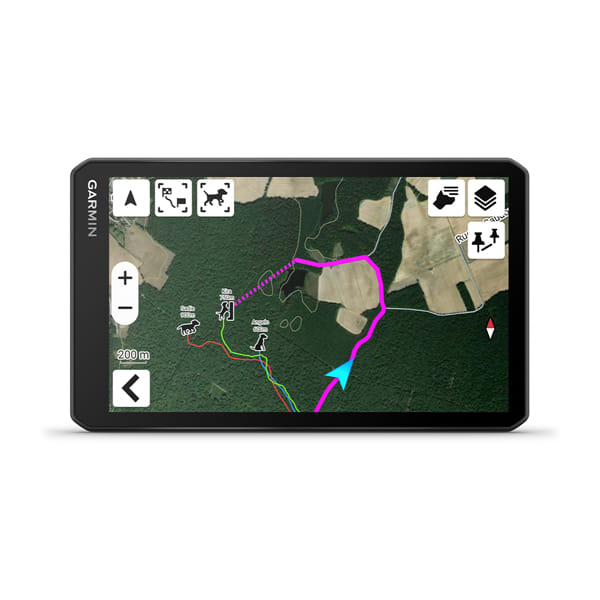
Garmin DriveTrack™ 72
$879.00 Add to cartOverview
TRACK YOUR PACK FROM YOUR TRUCK
For hunters who want to track and monitor their dogs in the field, this rugged dog tracking GPS navigator can handle off-road terrain while following up to 20 dogs¹ on its big, easy-to-read display.
CRISP HIGH-RESOLUTION 7″ TOUCHSCREEN
PAIRS DIRECTLY TO YOUR COMPATIBLE GARMIN DOG TRACKING HANDHELDS
TRACK UP TO 20 DOGS¹, SHOWING DISTANCE, DIRECTION AND STATUS FOR EACH
NAVIGATE YOUR HUNT WITH GARMIN MAPPING FOR ON- OR OFF-ROAD
PAIRS WITH THE GARMIN DRIVE™ SMARTPHONE APP
SHOW US WHAT YOU’VE GOT. TAG @GARMIN ON INSTAGRAM.
EASY-TO-READ DISPLAY
A bright 7″ touchscreen makes it easy to keep tabs or your dogs¹ and navigate your hunt.
TRACK YOUR PACK
When paired to your compatible Garmin dog tracking handheld keep tabs on up to 20 dogs and easily see how they move through the field from the convenience of your front seat.
MAPPING FOR THE HUNT
Download satellite imagery to your device via Wi-Fi technology and see the terrain features from above to help you navigate or find suitable habitat for your quarry.
MAPPING FOR THE ROAD
Get to and from your hunt with ease with turn-by-turn directions and detailed mapping.
WIRELESS SOFTWARE UPDATES
Built-in Wi-Fi connectivity makes it easy to keep your maps and software up to date without using a computer.
Garmin Drive app
-

Garmin Catalyst™ R1
$1299.00 Add to cartOverview
RACE AND SEE
Gain a competitive edge with this high-performance racing radar. See visual alerts of vehicles approaching from behind to improve awareness and vehicle defense¹ on the racetrack.
EXCEPTIONAL COVERAGE, RANGE AND PRECISION
HEADS-UP INDICATOR LIGHTS PROVIDE AWARENESS WHILE KEEPING YOUR EYES ON THE RACETRACK
SMALL, COMPACT DESIGN
INCLUDES MOUNTING HARDWARE TO SECURE ON YOUR TRACK VEHICLE
-

Low-profile Remote Antenna
$92.99 Add to cartOverview
This new and improved remote antenna runs on a lower voltage so battery drain is minimized. Comes with two mounting options. Magnetic mount for the outside of your vehicle or boat. Suction mount holds antenna in place against the inside of your windshield or window. With 244cms of cable and MCX connector. -
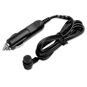
Vehicle Power Cable
$35.00 Add to cartOverview
Power up while you’re on the move with this 12 V adapter. It’s your in-vehicle power supply when you’re in between the trails.
-
Universal Carrying Case
$30.00 Add to cartOverview
Get durable all-around protection for your handheld device with this black nylon carrying case. Wide zippered opening and belt loop provide accessibility and portability.
Size 7.4 inches x 3.0 inches x 1.4 inches (18.8 cm x 7.6 cm x 3.6 cm)
-
Carrying Case
$11.99 Add to cartOverview
Protect your handheld device with this carrying case. Black nylon with a wide zippered opening and belt loop.
Size 5.7 inches x 2.9 inches x 1.3 inches (14.5 cm x 7.4 cm x 3.3 cm)
-
MCX to BNC Adapter Cable
$35.00 Add to cartOverview
Match up your MCX and BNC connectors on your navigational device and external antenna with this MCX to BNC adapter cable.
-
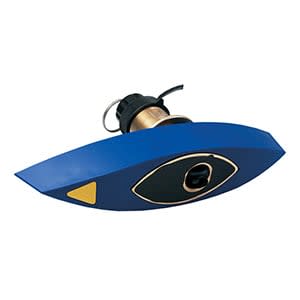
AIRMAR® B744V Triducer
$749.00 Add to cartOverview
The only thru-hull transducer that offers depth, speed and temperature in one package, this 8-pin 600 W triducer has a depth of 800 to 1,200 ft; an operating frequency of 50 to 200 kHz; a beamwidth of 45 to 12 degrees; and a 0 to 24 degree deadrise.
Transducer kit comes with installation instructions. Follow the instructions carefully to avoid damaging your boat.
When using with a 6-pin Garmin sounder, transducer adapter cable part number 010-11612-00 is required.
-
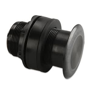
AIRMAR® P319
$269.01 Add to cartOverview
This plastic thru-hull mount transducer performs well at high speeds.
An excellent choice for fiberglass and metal hulls, this 8-pin 600 W transducer has a depth of 800 to 1,200 ft; an operating frequency of 50 to 200 kHz; a beamwidth of 45 to 12 degrees; and a 0 to 7 degree deadrise.
Transducer kit comes with installation instructions. Follow the instructions carefully to avoid damaging your boat.
Do not use on wood hulls.
When using with a 6-pin Garmin sounder, transducer adapter cable part number 010-11612-00 is required.
-

AIRMAR® B619 (12° Tilt)
$299.00 Add to cartOverview
This bronze thru-hull mount transducer performs well at high speeds and is an excellent choice for fiberglass and wood hulls.
An excellent choice for fiberglass and wood hulls, this 8-pin 500 W transducer has a depth of 900 ft; an operating frequency of 77/200 kHz; a beamwidth of 45/15 degrees; and a 8 to 15 degree deadrise.
Transducer kit comes with installation instructions. Follow the instructions carefully to avoid damaging your boat.
*Do not use on metal hulls.
-
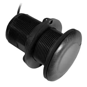
AIRMAR® P19 (12° Tilt)
$219.00 Add to cartOverview
This plastic thru-hull mount transducer performs well at high speeds and is an excellent choice for fiberglass and metal hulls.
This 8-pin 300 W transducer has a depth of 900 ft; an operating frequency of 77/200 kHz; a beamwidth of 45/15 degrees; and a 16 to 24 degree deadrise.
Transducer kit comes with installation instructions. Follow the instructions carefully to avoid damaging your boat.
*Do not use on wood hulls. When using with the echo™ series, transducer adapter cable, 010-11947-00, is required.
-
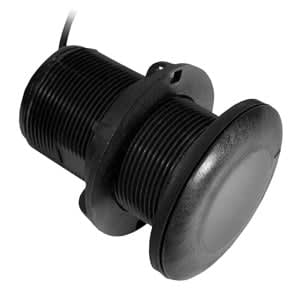
AIRMAR® P19 (20° Tilt)
$219.00 Add to cartOverview
This plastic thru-hull mount transducer performs well at high speeds and is an excellent choice for fiberglass and metal hulls.
This 8-pin 300 W transducer has a depth of 900 ft; an operating frequency of 77/200 kHz; a beamwidth of 45/15 degrees; and a 16 to 24 degree deadrise.
Transducer kit comes with installation instructions. Follow the instructions carefully to avoid damaging your boat.
*Do not use on wood hulls. When using with the echo™ series, transducer adapter cable, 010-11947-00, is required.
-
Carrying Case
$70.00 Add to cartOverview
Protect, store and carry your device, mounting bracket and accessories in this carrying case.
Size H: 4.75", W: 7.75", D: 4.25" (H: 12.0 x 19.7 x 10.8 cm)
-
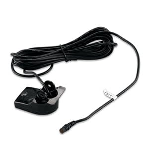
Garmin Dual Beam (4-pin)
$119.00 Add to cartOverview
This dual beam transducer replaces the one included with your echo™ or STRIKER™ series fishfinder. A 500 W 4-pin transducer, it has an operating frequency of 77/200 kHz; a beamwidth of 45/15 degrees; and mounts on a 0 to 70 degree transom.
Transducer kit comes with installation instructions. Follow the instructions carefully to avoid damaging your boat.
-
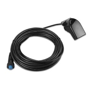
Garmin Dual Beam (8-pin)
$139.00 Add to cartOverview
This dual beam transducer replaces the one included with your echo™ or STRIKER™ series fishfinder. A 500 W 4-pin transducer, it has an operating frequency of 77/200 kHz; a beamwidth of 45/15 degrees; and mounts on a 0 to 70 degree transom.
Transducer kit comes with installation instructions. Follow the instructions carefully to avoid damaging your boat.
-
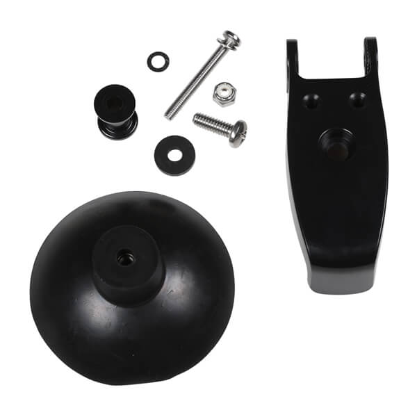
Suction Cup Transducer Adapter
$35.00 Add to cartOverview
Using your fishfinder as a portable unit? Use this suction cup adapter to attach your transom mount transducer to the side of your boat.
-
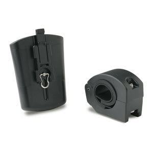
Handlebar Mount Bracket
$25.00 Add to cartOverview
Snap your device into this secure handlebar mount and it's ready to ride. Mount fits up to a 1" (2.54 cm) diameter bar and is perfect for your bike, motorcycle or ATV. Includes hardware and instructions.
-
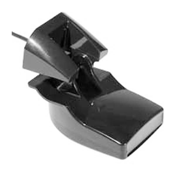
Plastic Transom Mount Transducer with Depth & Temperature (Dual Frequency, 6-pin)
$125.00 Add to cartOverview
This plastic transom mount can be used to replace the dual frequency transducers included with many Garmin units.
The 500 W 6-pin transducer has a maximum depth of 1,500 ft; an operating frequency of 50 to 200 kHz; a beamwidth of 40 to 10 degrees; and mounts on a 0 to 70 degree transom.
Transducer kit comes with installation instructions. Follow the instructions carefully to avoid damaging your boat.
When using with an 8-pin Garmin sounder, transducer adapter cable part number 010-11613-00 is required. Transducer part number 010-10272-10 is preferred.
-
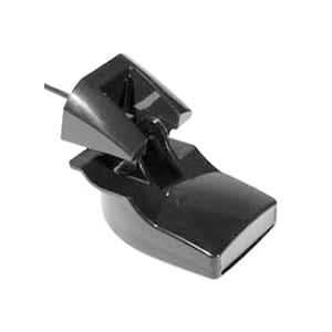
Garmin Dual Frequency
$149.00 Add to cartOverview
This dual beam transducer replaces the one included with your echo™ or STRIKER™ series fishfinder. A 500 W 4-pin transducer, it has an operating frequency of 77/200 kHz; a beamwidth of 45/15 degrees; and mounts on a 0 to 70 degree transom.
Transducer kit comes with installation instructions. Follow the instructions carefully to avoid damaging your boat.
-
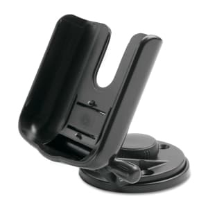
Marine mount
$55.00 Add to cartOverview
Free up your hands to drive the boat, fish, or just enjoy your time on the water. This adjustable marine mount swivels and tilts for optimum viewing and has a locking mechanism to keep your unit secure. Accepts optional external power adapter for quick connection to a DC power supply.
-
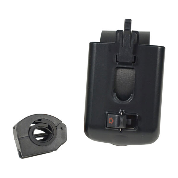
Handlebar Mount
$25.00 Add to cartOverview
Snap your device into this secure handlebar mount and you're ready to ride. Our handlebar mount fits up to a 1" (2.54 cm) diameter bar and is perfect for your bike, motorcycle or ATV. Includes hardware and instructions.
-
Carrying Case
$25.00 Add to cartOverview
Protect your eTrex® device with this durable carrying case. Features clear vinyl lens and access to operating buttons for use while in the case. Includes hook-and-loop flap closure, belt clip and lanyard connection.
-
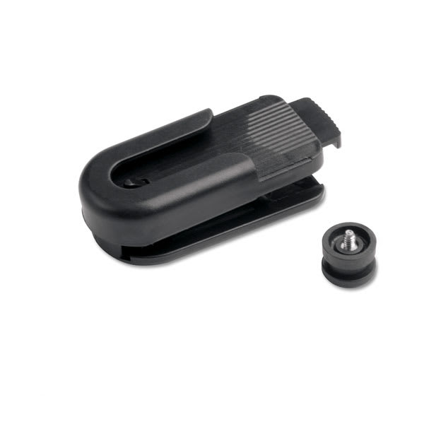
Belt Clip
$19.00 Add to cartOverview
Secure your device and keep it in easy reach with this belt clip.
-
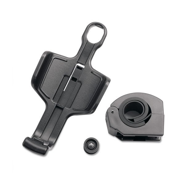
Handlebar Mount
$25.00 Add to cartOverview
Secure your device with this handlebar mount. Fits up to a 1" (2.54 cm) diameter bar. Includes mounting hardware and instructions.
-
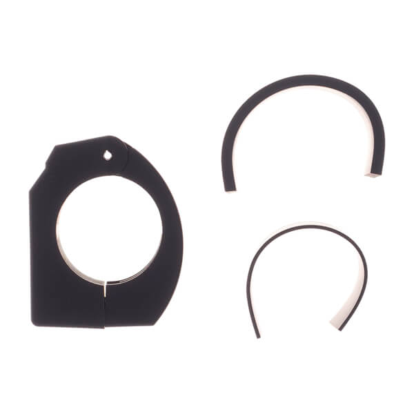
Rail Mount Adapter
$15.00 Add to cartOverview
Mount your compatible device to your handlebar with this rail mount adapter.
-
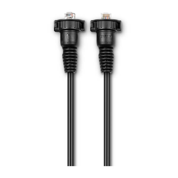
Garmin Marine Network Cables (Large Connectors)
$55.00 Add to cartOverview
Our marine network cables offer additional cable lengths to help with install. Various sizes sold separately.
-
Garmin Marine Network Cables (Large Connectors)
$69.00 Add to cartOverview
Our marine network cables offer additional cable lengths to help with install. Various sizes sold separately.
-
Garmin Marine Network Cables (Large Connectors)
$100.00 Add to cartOverview
Our marine network cables offer additional cable lengths to help with install. Various sizes sold separately.
-
Cable Grommets
$8.00 Add to cartOverview
Convert your compatible device’s network connector from the Garmin BlueNet™ Network to the Legacy Garmin Marine Network so it can connect to a compatible Garmin chartplotter. This cable does not replace the need to use a Garmin BlueNet™ 30 gateway. Check compatibility before purchase.
-
Garmin Marine Network Cable Coupler
$69.00 Add to cartOverview
Use our cable coupler to join two marine network cables end-to-end.
-
Garmin Marine Network Cable Connectors
$25.00 Add to cartOverview
Convert your compatible device’s network connector from the Garmin BlueNet™ Network to the Legacy Garmin Marine Network so it can connect to a compatible Garmin chartplotter. This cable does not replace the need to use a Garmin BlueNet™ 30 gateway. Check compatibility before purchase.
-

Dashboard Discs (Large and Small)
$15.00 Add to cartOverview
Mount your compatible device to the dashboard of any vehicle with these discs. The disc adheres to the dashboard, and your suction cup mount sticks to the disc. Package includes 2 dashboard discs: 1 large and 1 small.
-
Garmin Marine Network Cables (Large Connectors)
$349.00 Add to cartOverview
Our marine network cables offer additional cable lengths to help with install. Various sizes sold separately.
-
16 GB microSD™ Class 10 Card with SD Adapter
$49.01 Add to cartOverview
Don’t let space constraints keep you from your next great adventure. Expand your storage capacity with our 16 GB Class 10 microSD card. The 16 GB microSD card arrives already inserted in the adapter, which can be removed for use with all devices that have a microSD card port.
NOTE: If purchasing as a microSD card for recording purposes, we recommend Class 10 or higher for best results.
-
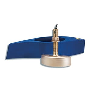
AIRMAR® B258
$1449.00 Add to cartOverview
This mid-range 1 kW 8-pin transducer with a narrow beam is good for deep water and bottom definition. It has a depth of 1,500 to 2,200 ft; an operating frequency of 50 to 200 kHz; a beamwidth of 14x23 to 3x5 degrees; and a 0 to 26 degree deadrise.
Transducer kit comes with installation instructions. Follow the instructions carefully to avoid damaging your boat.
When using with a 6-pin Garmin sounder, transducer adapter cable part number 010-11612-00 is required.
-
USB Cable
$19.00 Add to cartOverview
Get the most out of your device with our USB cable. Use the USB cable to charge your device. Create routes and waypoints on your personal computer and transfer them to your device. On compatible devices, use the mini USB cable to transfer photos and music and turn your device into a portable photo album or music player. The cable length is 40".
-
USB Cable
$29.00 Add to cartOverview
Create routes and waypoints on your personal computer and transfer them to your device. On compatible devices, use the mini USB cable to transfer photos and music and turn your device into a portable photo album or music player. Can also provide external power for compatible devices¹.
¹See your product's documentation for further details.
-
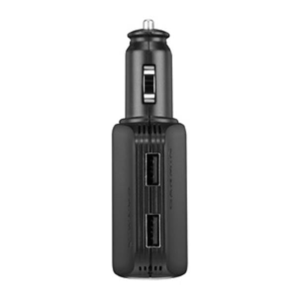
High-speed Multi-charger
$45.00 Add to cartOverview
Add 2 high-speed USB ports to your vehicle's 12 V outlet without losing the ability to power your compatible device. Use each USB port to charge a phone, tablet or any other device that needs power on the go.
- INPUT : 10-30v 5.4A max
- Output USB : 4.75-5.25v 2.1A
- Output Socket : 10v 2.4A max ->30v 0.8A max
*This multi-charger powers, but does not recharge, the Rino® 650/650t handhelds.
-
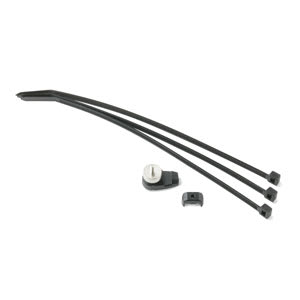
Speed/Cadence Bike Sensor Replacement Parts
$15.00 Add to cartOverview
Monitor your pedalling cadence and wheel speed as you ride. You can even use it to train indoors because the sensor attaches to your rear wheel. -
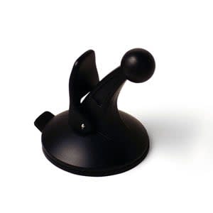
Suction Cup
$19.00 Add to cartOverview
Vehicle suction mount (replacement) -
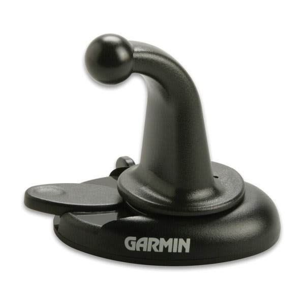
Dashboard Mount
$35.00 Add to cartOverview
Secure your device for easier navigation while in your vehicle with this compact, adjustable dashboard mount. Includes adhesive disk to permanently install the mount base to the dashboard.
-
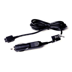
Vehicle Power Cable
$39.00 Add to cartOverview
Charge your GPS as you drive with this 12-volt adapter cable. Perfect for 2nd vehicle use.
-
Weather Cap (NMEA 0183)
$4.99 Add to cartOverview
Our 19-pin weather cap protects the connector on your NMEA 0183 cable from the harsh marine environment.
-
Weather Cap (Network)
$4.99 Add to cartOverview
Our weather cap protects the connector on your network cable from the harsh marine environment.
-
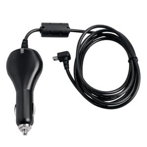
Acc,Colorado/Oregon,CLA
$39.00 Add to cartOverview
Plug into any 12 V cigarette lighter receptacle to power your Garmin device and conserve battery life. Includes 1.5-amp replaceable fuse.
-
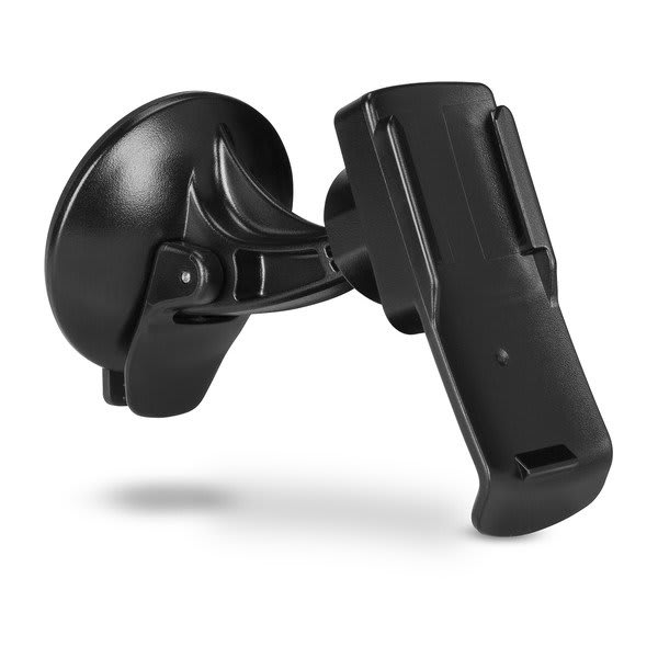
Suction Cup Spine Mount
$45.00 Add to cartOverview
Spine Mount Adapter is required when used with the inReach® Mini 2 device." > -
Power Cable
$29.00 Add to cartOverview
Charge your zūmo® while you ride with this power cable.
-
Retractable lanyard
$35.00 Add to cartOverview
Keep your compatible GPS device close and secure with this 71 cm (28-inch) retractable lanyard.
-
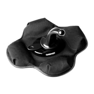
Portable Friction Mount
$29.00 Add to cartOverview
Keep your device in easy sight with this portable friction mount, and then remove it from your vehicle when you arrive at your destination. Lets you use your device in more than one vehicle. This mount has a ball joint size of 17 mm (0.67″).
-
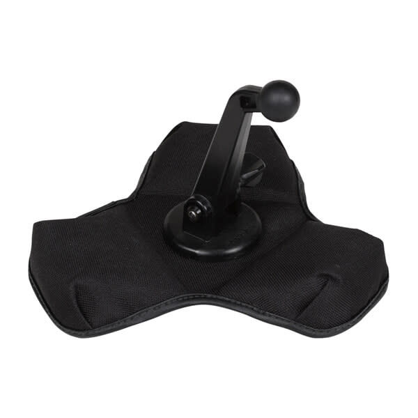
XL Friction Mount
$119.00 Add to cartOverview
Keep your device in easy sight with this extra-large portable friction mount, and then remove it from your vehicle’s dashboard when you arrive at your destination. Lets you use your device in more than one vehicle. This mount has a ball joint size of 22 mm.
-
Power/data Cable
$49.01 Add to cartOverview
Connect or power your fishfinders and sounders with this power/data cable.
Not for use with chartplotters.
-
Swivel Mounting Bracket
$55.00 Add to cartOverview
Mount your chartplotter or sounder with this swivel mounting bracket.
-
Second Mounting Station
$69.00 Add to cartOverview
Mount any additional chartplotter on your boat with this second mounting station. Also includes a wiring harness to power your compatible device and connect to an optional NMEA 0183 network, CANet device and transducer.
-
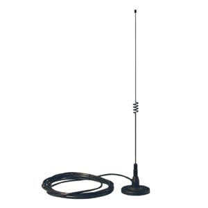
Magnetic mount antenna
$80.00 Add to cartOverview
This powerful remote antenna magnetically mounts to your vehicle and connects to your compatible handheld so you can track your dogs while driving. The antenna is 16 inches (40.6 cm) tall. The cable is 11.5 ft (3.5 m) long.
-
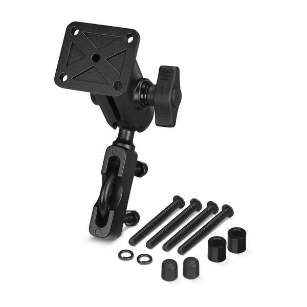
Handlebar Mount Kit
$79.00 Add to cartOverview
Mount your compatible motorcycle device just about anywhere with our mounting kit (mounting bracket sold separately). This mount has a ball joint size of 1” (25.4 mm).
-
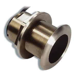
AIRMAR® B60 (20° Tilt)
$419.00 Add to cartOverview
An excellent choice for fiberglass and wood hulls, this 600 W 8-pin transducer has an operating frequency of 50 kHz or 200 kHz, with a respective depth rating of 1,200 ft or 700 ft, and respective beamwidth of 45 or 12 degrees.
Transducer kit comes with installation instructions. Follow the instructions carefully to avoid damaging your boat." description-size="large" description-align="center" theme="light" > -
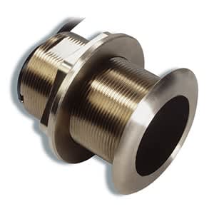
AIRMAR® B60 (12° Tilt)
$419.00 Add to cartOverview
An excellent choice for fiberglass and wood hulls, this 600 W 8-pin transducer has an operating frequency of 50 kHz or 200 kHz, with a respective depth rating of 1,200 ft or 700 ft, and respective beamwidth of 45 or 12 degrees.
Transducer kit comes with installation instructions. Follow the instructions carefully to avoid damaging your boat." description-size="large" description-align="center" theme="light" > -
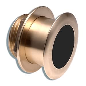
AIRMAR® B164 (20° Tilt)
$1499.00 Add to cartOverview
This bronze thru-hull mount transducer performs well at high speeds and is an excellent choice for fiberglass and wood hulls. This flush-mounted housing protrudes less than a quarter of an inch outside the hull and can sit on trailer rollers/bunks without damage.
An 8-pin 1 kW transducer, it has a depth of 1,200 to 1,800 ft; an operating frequency of 50 to 200 kHz; a beamwidth of 22x20 or 6x6 degrees; and mounts on a 16 to 24 degree deadrise angle.
Transducer kit comes with installation instructions. Follow the instructions carefully to avoid damaging your boat.
*Do not use on metal hulls. When using with a 6-pin Garmin sounder, a transducer adapter cable is required.
-
Swivel Belt Clip
$15.00 Add to cartOverview
Spine Mount Adapter is required when used with the inReach® Mini 2 device." > -
Bike/cart Mount
$15.03 Add to cartOverview
Spine Mount Adapter is required when used with the inReach® Mini 2 device." description-size="large" description-align="center" theme="light" > -
Bicycle Mount Kit
$17.00 Add to cartOverview
Attach your compatible device to your bike to collect workout data while cycling. Great for multisport workouts, your device quickly attaches to the mount for a clean transition from running to biking.
-
USB-A Clip Charging/Data Cable
$29.00 Add to cartOverview
Complete two tasks with one cable using our charging/data clip. Connect the cable to your computer's USB port to recharge your compatible device and to transfer data to and from your computer. This cable also pairs with an optional AC adapter (sold separately).
-
Adjustable Handheld Mount
$45.00 Add to cartOverview
Spine Mount Adapter is required when used with the inReach® Mini 2 device." > -
CCU/ECU Interconnect Cable
$69.00 Add to cartOverview
Use this cable to extend your bare wires and your ECU (electronic control unit) to CCU (course computer unit) interconnect cable so you can install your GHP™ 10.
-
Alarm
$119.00 Add to cartOverview
Wire this buzzer to your course compass unit (CCU) to receive audible alerts from your GHP™ 10.
-
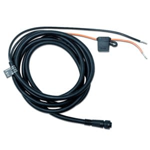
ECU Power Cable
$129.00 Add to cartOverview
Provide power to your electronic control unit (ECU) with our ECU power cable. Simply wire the ECU power cable to your boat battery as one of the last connections made during GHP™ 10 installation.
-
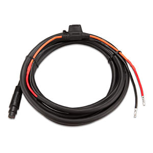
ECU Power Cable (Threaded Collar)
$129.00 Add to cart -
NMEA 2000® Backbone/Drop Cables
$55.00 Add to cartOverview
Extend your NMEA 2000 backbone with our backbone/drop cables (different sizes sold separately).
-
NMEA 2000® Backbone/Drop Cables
$65.00 Add to cartOverview
Extend your NMEA 2000 backbone with our backbone/drop cables (different sizes sold separately).
-
NMEA 2000® Backbone/Drop Cables
$75.00 Add to cartOverview
Extend your NMEA 2000 backbone with our backbone/drop cables (different sizes sold separately).
-
NMEA 2000® Backbone/Drop Cables
$45.00 Add to cartOverview
Extend your NMEA 2000 backbone with our backbone/drop cables (different sizes sold separately).
-
NMEA 2000® T-connector
$45.00 Add to cartOverview
Add components to your NMEA 2000 network by installing our T-connector on your backbone cable. The revised version of this T-connector is offset by 45 degrees compared to the previous version.
-
NMEA 2000® Multi-port T-connector
$99.00 Add to cartOverview
Add components to your NMEA 2000 network by installing our T-connector on your backbone cable. The revised version of this T-connector is offset by 45 degrees compared to the previous version.
-
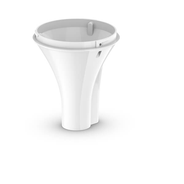
Pole Mount
$15.00 Add to cartOverview
Our standard 1" OD pipe-threaded pole mount lets you mount your compatible device and route a NMEA 2000®/audio cable through the pole.
-
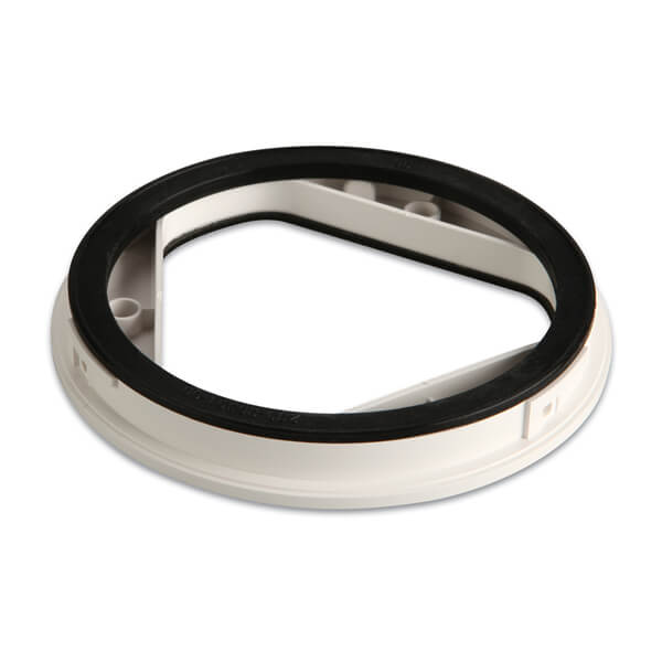
Antenna Surface Mount
$15.00 Add to cartOverview
Flush mount your antenna with this surface mount.
-
Antenna Under Deck Mount
$25.00 Add to cartOverview
Mount your antenna under a fiberglass surface with this under deck mount.
-
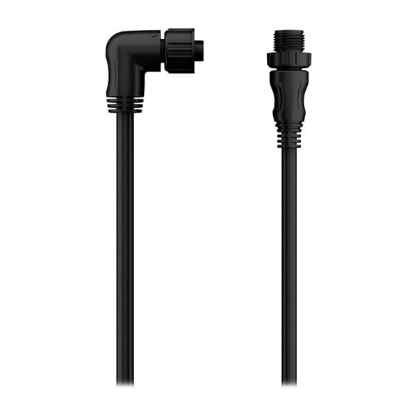
NMEA 2000® Backbone/Drop Cables
$55.00 Add to cartOverview
Extend your NMEA 2000 backbone with our backbone/drop cables (different sizes sold separately).
-

NMEA 2000® Backbone/Drop Cables
$39.00 Add to cartOverview
Extend your NMEA 2000 backbone with our backbone/drop cables (different sizes sold separately).
-
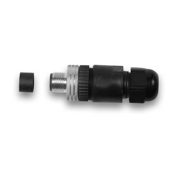
NMEA 2000® Field-installable Connectors
$65.00 Add to cartOverview
Use our male or female NMEA 2000 field-installable connectors to create custom-length drop cables and backbone extension cables. These connectors (sold separately) also can be used to shorten any NMEA 2000 drop/backbone cable.
-
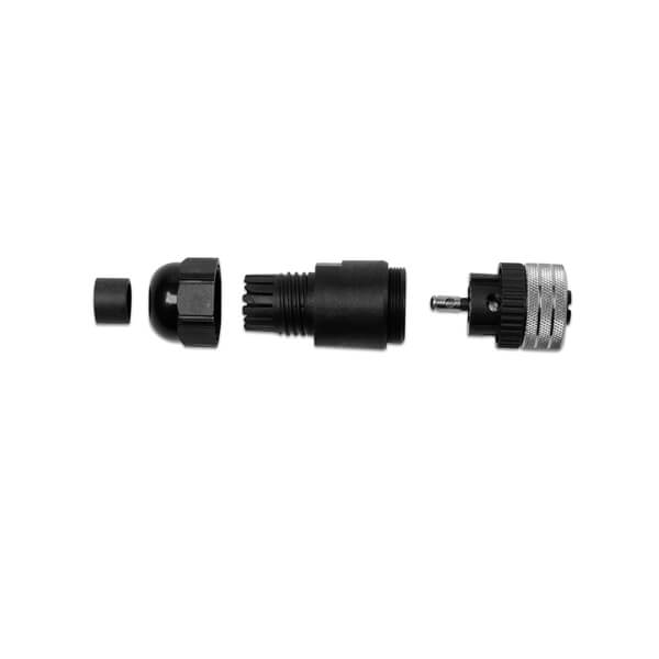
NMEA 2000® Field-installable Connectors
$65.00 Add to cartOverview
Use our male or female NMEA 2000 field-installable connectors to create custom-length drop cables and backbone extension cables. These connectors (sold separately) also can be used to shorten any NMEA 2000 drop/backbone cable.
-
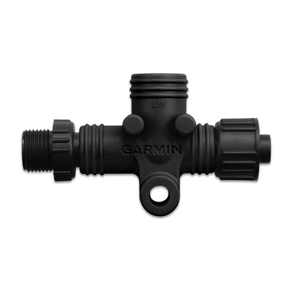
NMEA 2000® In-line Terminator
$35.00 Add to cartOverview
This standard male or female NMEA 2000 light cable connector provides termination resistance for one end of the backbone of the network. Each male or female connector sold separately.
-
AIRMAR® DT800 (20° Tilt)
$529.00 Add to cartOverview
This plastic smart thru-hull mount transducer provides depth and temperature data to your NMEA 2000 network.
This 100 W transducer has a depth of 600 ft; an operating frequency of 235 kHz; a beamwidth of 12 degrees; and a 16 to 24 degree deadrise.
Transducer kit comes with installation instructions. Follow the instructions carefully to avoid damaging your boat.
-
7-pin Data Cable with 90-degree Connector
$45.00 Add to cartOverview
Connect your GMI™ 20 or GHC™ 20 to a NMEA 0183 device with this 7-pin power/data cable. Features 90-degree connector for installation in tight spaces or flush mounting.
-

Portable Long-range Antenna
$110.00 Add to cartOverview
Connects to Astro to extend tracking range when locating your dogs.
-
Quarter-turn Collar CCU Extension Cable
$50.00 Add to cartOverview
Mount your CCU farther than 3 m (9.8 feet) away from the ECU with a 5 m (16.4 ft), 15m (49.2 ft), or 25m (82.0 ft) extension cable.
-
Quarter-turn Collar CCU Extension Cable
$125.99 Add to cartOverview
Mount your CCU farther than 3 m (9.8 feet) away from the ECU with a 5 m (16.4 ft), 15m (49.2 ft), or 25m (82.0 ft) extension cable.
-
Threaded Collar CCU Extension Cables
$55.00 Add to cartOverview
Mount your CCU farther than 3 m (9.8 feet) away from the ECU with a 5 m (16.4 ft), 15m (49.2 ft), or 25m (82.0 ft) extension cable.
-
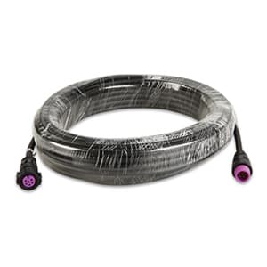
Threaded Collar CCU Extension Cables
$89.00 Add to cartOverview
Mount your CCU farther than 3 m (9.8 feet) away from the ECU with a 5 m (16.4 ft), 15m (49.2 ft), or 25m (82.0 ft) extension cable.
-
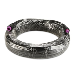
Threaded Collar CCU Extension Cables
$119.00 Add to cartOverview
Mount your CCU farther than 3 m (9.8 feet) away from the ECU with a 5 m (16.4 ft), 15m (49.2 ft), or 25m (82.0 ft) extension cable.
-
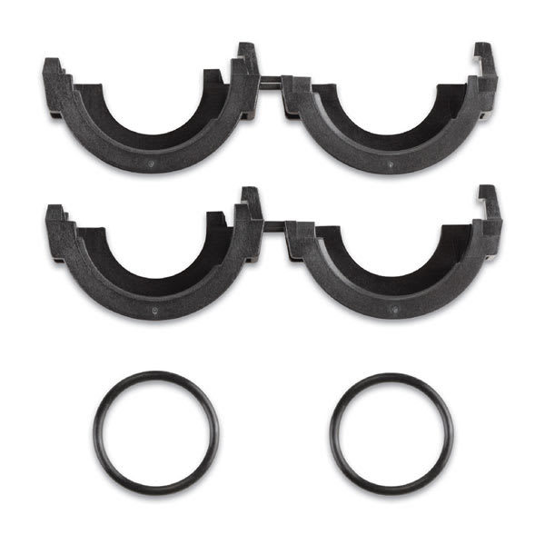
Split Connector
$4.99 Add to cartOverview
Convert your compatible device’s network connector from the Garmin BlueNet™ Network to the Legacy Garmin Marine Network so it can connect to a compatible Garmin chartplotter. This cable does not replace the need to use a Garmin BlueNet™ 30 gateway. Check compatibility before purchase.
-
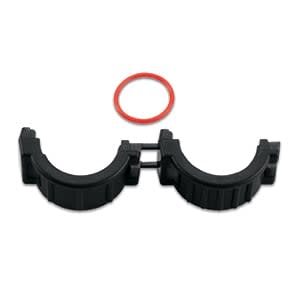
Split Connector (11 mm)
$1.95 Add to cartOverview
Route cables without having to drill large holes in your vessel with this 11 mm split connector.
-

Split Connector
$1.95 Add to cartOverview
Route cables on your vessel without drilling large holes with this split connector kit.
-

Course Computer Unit Mounting Bracket (GHP™ 10)
$25.00 Add to cartOverview
Keep your course computer unit (CCU), one of 5 main components of the GHP™ 10 autopilot system, in place with this mounting bracket.
-
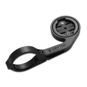
Out-front Bike Mount
$40.00 Add to cartOverview
Stay ahead of the pack with this out-front bike mount that lets you to take full advantage of your Edge's capabilities without compromising your ride. The mount gives you easier, heads-up positioning for easier monitoring and safety.
Also compatible with the Forerunner 910XT and 310XT when used with a quick-release kit (sold separately). Just remove the screws from the bottom, rotate the inner-mount and reinsert the screws, and then your watch will mount in the proper position on your handle bar.
-
Quick Release Bands (20 mm)
$45.00 Add to cart<p>Fits wrists with a circumference of 125-212 mm</p>
Overview
Stay stylish and sport-ready with these adjustable, quick release bands for your compatible Garmin watch. Simply remove the bands with a slide of the bar, and pop on different bands for the ultimate personal accessory.
-
Quick Release Bands (20 mm)
$45.00 Add to cart<p>Fits wrists with a circumference of 125-212 mm</p>
Overview
Stay stylish and sport-ready with these adjustable, quick release bands for your compatible Garmin watch. Simply remove the bands with a slide of the bar, and pop on different bands for the ultimate personal accessory.
-
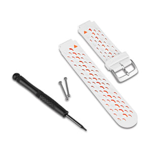
Watch Bands (Approach®/Forerunner®)
$29.00 Add to cartOverview
Stay stylish by swapping out your band for a new color on compatible watches. Simply remove your current watch band and screw on the new band for a comfortable and enhanced fit. Band, pins and pin removal tools included. Individual colors sold separately.
-
Watch Bands (Approach®/Forerunner®)
$29.00 Add to cartOverview
Stay stylish by swapping out your band for a new color on compatible watches. Simply remove your current watch band and screw on the new band for a comfortable and enhanced fit. Band, pins and pin removal tools included. Individual colors sold separately.
-
Extended Out-front Bike Mount
$40.00 Add to cartOverview
Stay ahead of the pack with this extended out-front bike mount that lets you take full advantage of the capabilities of your Edge® without compromising your ride. This mount with extended arm allows you to stay in a comfortable heads-up position for easier monitoring and improved safety.
Also compatible with the Forerunner® 910XT and 310XT when used with a quick-release kit (sold separately). Simple installation by just removing the screws from the bottom, rotating the inner mount and reinserting the screws. Compatible with 25.4 mm, 26.0 mm, 31.8 mm and 35.0 mm handlebars.
-
Quick Release Bands (20 mm)
$45.00 Add to cart<p>Fits wrists with a circumference of 125-212 mm</p>
Overview
Stay stylish and sport-ready with these adjustable, quick release bands for your compatible Garmin watch. Simply remove the bands with a slide of the bar, and pop on different bands for the ultimate personal accessory.
-
Quick Release Bands (20 mm)
$45.00 Add to cart<p>Fits wrists with a circumference of 125-212 mm</p>
Overview
Stay stylish and sport-ready with these adjustable, quick release bands for your compatible Garmin watch. Simply remove the bands with a slide of the bar, and pop on different bands for the ultimate personal accessory.
-
Quick Release Bands (20 mm)
$45.00 Add to cart<p>Fits wrists with a circumference of 125-212 mm</p>
Overview
Stay stylish and sport-ready with these adjustable, quick release bands for your compatible Garmin watch. Simply remove the bands with a slide of the bar, and pop on different bands for the ultimate personal accessory.
-
Quick Release Bands (20 mm)
$45.00 Add to cart<p>Fits wrists with a circumference of 125-212 mm</p>
Overview
Stay stylish and sport-ready with these adjustable, quick release bands for your compatible Garmin watch. Simply remove the bands with a slide of the bar, and pop on different bands for the ultimate personal accessory.
-
Forerunner® Watch Bands (22 mm) (Forerunner® 955)
$69.00 Add to cart<p>Fits wrists with a circumference of 135-205 mm</p>
Overview
Stay stylish and sport-ready by swapping out your compatible watch band for a new colour on compatible models. Simply remove your current watch band and screw on the new band for a comfortable and enhanced fit. Band, pins and pin removal tools included. Individual colours sold separately.
-
Forerunner® Watch Bands (22 mm) (Forerunner® 955)
$69.00 Add to cart<p>Fits wrists with a circumference of 135-205 mm</p>
Overview
Stay stylish and sport-ready by swapping out your compatible watch band for a new colour on compatible models. Simply remove your current watch band and screw on the new band for a comfortable and enhanced fit. Band, pins and pin removal tools included. Individual colours sold separately.
-
Quick Release Bands (22 mm)
$69.00 Add to cartOverview
Stay stylish and sport-ready with these adjustable, quick release bands for your compatible Garmin watch. Simply remove the bands with a slide of the bar, and pop on different bands for the ultimate personal accessory.
-
Forerunner® Watch Bands (22 mm) (Forerunner® 955)
$69.00 Add to cart<p>Fits wrists with a circumference of 135-205 mm</p>
Overview
Stay stylish and sport-ready by swapping out your compatible watch band for a new colour on compatible models. Simply remove your current watch band and screw on the new band for a comfortable and enhanced fit. Band, pins and pin removal tools included. Individual colours sold separately.
-
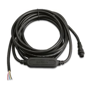
GRA™ 10
$389.00 Add to cartOverview
With the GRA 10 Rudder Angle Analog Adapter aboard your vessel, you can give new life to your old gauges by making the transition from analog to digital. This simple-to-install adapter takes the data generated by traditional analog gauges and converts the data into a NMEA 2000® signal so you can create or expand your network without replacing all of the equipment on your boat.
Connect to Your Network
With the Garmin GRA 10 adapter, you can convert analog information provided via the rudder-angle sensor (not included) on your boat to your NMEA 2000 network. The GRA 10 allows you to observe rudder-angle information on compatible Garmin display devices connected to your NMEA 2000 network.
Upgrade With Ease
The NMEA 2000 analog adapters from Garmin are easy to add to any existing marine network. Once installed, the data from the adapters can be viewed via the GMI™ 10 Marine Instrument Display and other compatible Garmin devices. This easy-to-use set-up will help you bring your older dashboard into the digital age.
-
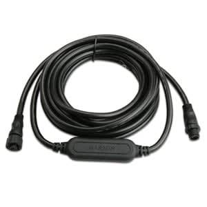
GST™ 10
$349.00 Add to cartOverview
With the GST 10 Water Speed and Temperature Analog Adapter aboard your vessel, you can give new life to your old gauges by making the transition from analog to digital. This simple-to-install adapter takes the data generated by traditional analog gauges and converts the data into a NMEA 2000® (5 Hz) signal so you can create or expand your network without replacing all of the equipment on your boat.
Connect to Your Network
With the Garmin GST 10 adapter, you can convert analog information provided via the compatible water-speed sensor, water-temperature sensor, or combined water-speed and water-temperature sensor (not included) on your boat to your NMEA 2000 network. The GST 10 allows you to observe water-speed and water-temperature information on compatible Garmin display devices connected to your NMEA 2000 network.
Upgrade With Ease
The NMEA 2000 analog adapters from Garmin are easy to add to any existing marine network. Once installed, the data from the adapters can be viewed via the GMI™ 20 Marine Instrument Display and other compatible Garmin devices. This easy-to-use set-up will help you bring your older dashboard into the digital age.
-
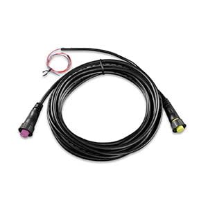
Interconnect Cable (Mechanical/Hydraulic with SmartPump)
$69.00 Add to cartOverview
Use this 5 meter interconnect cable to connect your GHP™ Reactor autopilot CCU (couse computer unit) to ECU (electronic control unit). Includes bare wire connections for alarm and optional Shadow Drive valve. ECU connector includes threaded collar for compatibility with ECU 12 and SmartPump systems.
-
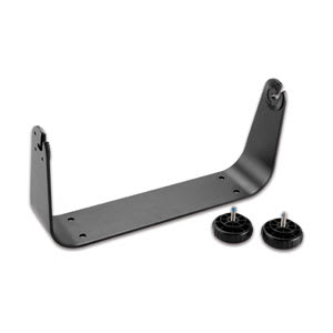
Bail Mount with Knobs
$65.00 Add to cartOverview
Surface mount your GPSMAP® 7012 or 7212 with this bail mount with knobs.
-
Access,Protective Cover,GPSMAP6x08
$25.00 Add to cartOverview
Use our replacement cover to protect your GPSMAP 6008 or 6208 from the environment.
-
Top and Bottom Snap Covers
$25.00 Add to cartOverview
Protect your your GPSMAP® 7012 or 7015 with these top and bottom snap covers. Can be removed for flush mounting.
-
Quarter-turn Bike Mount
$15.00 Add to cartOverview
Secure your compatible Edge® device to your bicycle's stem or handlebars with this quarter-turn mount. Includes 2 mount kits (bike mount, rubber disc and elastic bands).
-
Bike Mount Elastic Bands
$8.00 Add to cartOverview
Use these elastic bands with your quarter turn bike mount to attach your compatible Edge® to your bicycle's stem or handlebars.
-
Acc,GPSMAP78,Marine Mount
$47.00 Add to cartOverview
Attach our marine mount to your helm, then swivel or tilt for optimal viewing. An easy locking mechanism keeps your compatible device secure while you’re underway, then releases easily so you can remove your device as needed.
-
NMEA 2000® Starter Kit
$189.00 Add to cartOverview
Our starter kit has everything you need to build a basic NMEA 2000 network on your boat. The kit includes an NMEA 2000 drop cable (2 m), backbone cable (6 m), power cable (2 m), 2 T-connectors, and male and female terminator connectors.
-
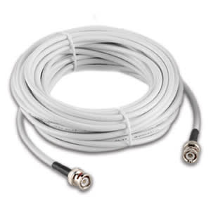
Antenna Cable for Garmin VHF, AIS and Chartplotters
$70.00 Add to cartOverview
Use this 32 ft cable to connect your antenna to your compatible Garmin VHF, AIS and chartplotters.
-
microUSB cable
$22.00 Add to cartOverview
Get the most out of your device using this microUSB cable to update your device software, download new vehicle icons and much more.
-
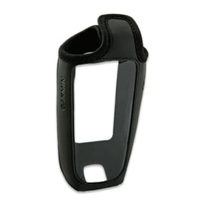
Slip Case
$29.00 Add to cartOverview
Protect and operate your device with this form-fitting case.
-
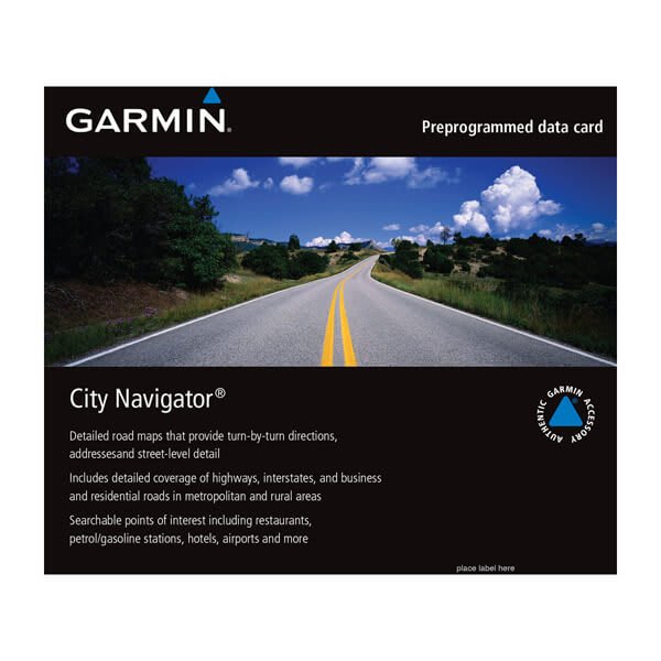
City Navigator® Middle East and Northern Africa NT
$158.99 Add to cartOverview
Navigate the streets with confidence. This product provides detailed road maps and points of interest for your device, so you can navigate with exact, turn-by-turn directions to any address or intersection.
- Displays more than half a million points of interest throughout the country, including restaurants, petrol/gasoline stations, lodging, attractions and railways.
- Gives turn-by-turn directions on compatible devices.
- Speaks street names (example: "Turn right on Main Street").
- Includes navigational features, such as turn restrictions, roundabout guidance and speed categories.
- Contains traffic data for compatible devices that use traffic receivers.
-
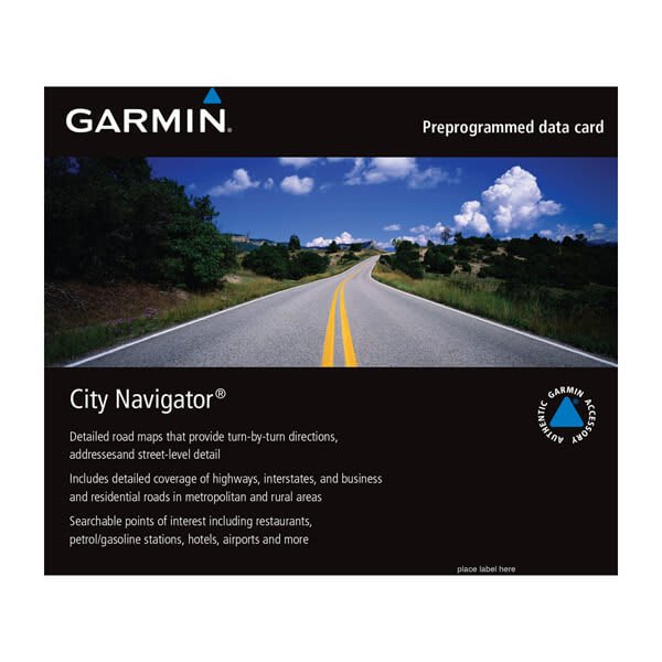
City Navigator® North America NT
$149.00 Add to cartOverview
Navigate the streets with confidence. This product provides detailed road maps and points of interest for your device, so you can navigate with exact, turn-by-turn directions to any address or intersection.
- Displays more than half a million points of interest throughout the country, including restaurants, petrol/gasoline stations, lodging, attractions and railways.
- Gives turn-by-turn directions on compatible devices.
- Speaks street names (example: "Turn right on Main Street").
- Includes navigational features, such as turn restrictions, roundabout guidance and speed categories.
- Contains traffic data for compatible devices that use traffic receivers.
-
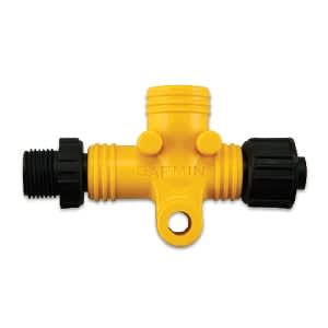
NMEA 2000® Power Isolator
$45.00 Add to cartOverview
Connect your compatible echoMAP™ CHIRP or ECHOMAP Plus chartplotter/sounder combo to a NMEA 2000 network with this 6 foot (2 meters) adapter cable.
-
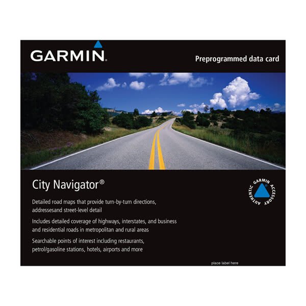
City Navigator® Southern Africa NT
$139.00 Add to cartOverview
Navigate the streets with confidence. This product provides detailed road maps and points of interest for your device, so you can navigate with exact, turn-by-turn directions to any address or intersection.
- Displays more than half a million points of interest throughout the country, including restaurants, petrol/gasoline stations, lodging, attractions and railways.
- Gives turn-by-turn directions on compatible devices.
- Speaks street names (example: "Turn right on Main Street").
- Includes navigational features, such as turn restrictions, roundabout guidance and speed categories.
- Contains traffic data for compatible devices that use traffic receivers.
-
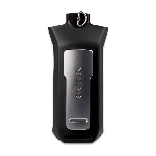
Lithium-ion Battery Pack (Rino®)
$99.00 Add to cartOverview
For extended outings, bring an extra ithium-ion battery pack for your compatible Rino handheld.
-
Alkaline Battery Pack (Rino) | Garmin
$49.01 Add to cartOverview
Bring a spare pack along with you and make sure you’ve got back-up power when and where you need it! Uses 4AA batteries (not included).
-
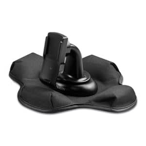
Friction Mount
$60.01 Add to cartOverview
Spine Mount Adapter is required when used with the inReach® Mini 2 device." > -
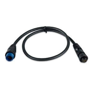
Adapter (6-pin Female to 8-pin Male)
$39.00 Add to cartOverview
This adapter allows you to connect newer 8-pin transducers to devices that require a 6-pin connector.
-
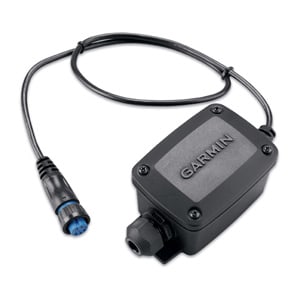
Adapter (8-pin Female to Wire Block)
$89.00 Add to cartOverview
This adapter allows you to connect the wires on legacy 6-pin transducers with newer sonar that require a 8-pin connection.
-
Bare Wire Transducer to 12-pin Sounder Wire Block Adapter
$119.00 Add to cartOverview
Connect a compatible bare wire transducer to a Garmin 12-pin sounder connector with this wire block adapter.
-
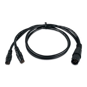
6-pin Transducer to 4-pin Sounder Adapter Cable
$29.00 Add to cartOverview
This transducer adapter allows you to use your existing 6-pin dual-beam transducer with your 4-pin echo™ series fishfinder.
-
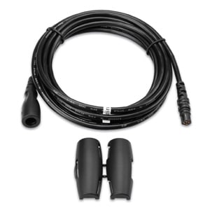
4-pin Transducer Extension Cable
$59.00 Add to cartOverview
Connect your 4-pin transducer to your sonar unit with this 10 ft (3 m) extension cable.
-
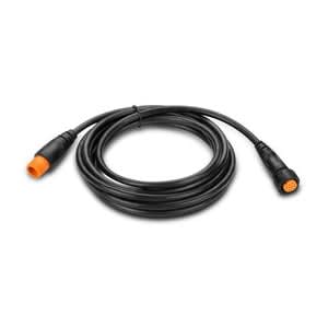
Extension Cable for 12-pin Garmin Scanning Transducers
$69.00 Add to cartOverview
Extend the cable length of your compatible 12-pin transducer with these 1.3 m (4.3 ft), 3 m (10 ft) or 9 m (30 ft) cables. Supports 12-pin Airmar transducers with XID.
-
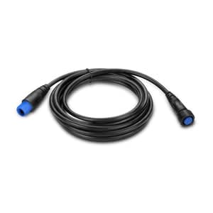
Transducer Extension Cable (8-pin)
$80.00 Add to cartOverview
Extend the cable length of your compatible transducer with this 10 ft (3 m) or 30 ft (9 m) cable.
-
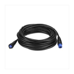
Transducer Extension Cable (8-pin)
$110.00 Add to cartOverview
Extend the cable length of your compatible transducer with this 10 ft (3 m) or 30 ft (9 m) cable.
-
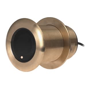
AIRMAR® B75H (12/20° Tilt)
$1099.00 Add to cartOverview
This bronze thru-hull mount transducer is designed to allow both traditional and spread spectrum scanning when used with a compatible sonar like the GSD™ 26.
A 600 W transducer with 8 pins, it has a depth of 900 ft; an operating frequency of 80-130 kHz; a beamwidth of 24/16 degrees; and a 16 to 24 degree deadrise.
Transducer kit comes with installation instructions. Follow the instructions carefully to avoid damaging your boat.
-
AIRMAR® B75H (12/20° Tilt)
$1099.00 Add to cartOverview
This bronze thru-hull mount transducer is designed to allow both traditional and spread spectrum scanning when used with a compatible sonar like the GSD™ 26.
A 600 W transducer with 8 pins, it has a depth of 900 ft; an operating frequency of 80-130 kHz; a beamwidth of 24/16 degrees; and a 16 to 24 degree deadrise.
Transducer kit comes with installation instructions. Follow the instructions carefully to avoid damaging your boat.
-
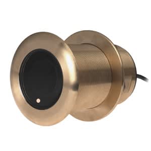
AIRMAR® B75M (0° Tilt)
$1199.00 Add to cartOverview
This bronze thru-hull mount transducer is designed to allow both traditional and spread spectrum scanning when used with a compatible sonar like the GSD™ 26.
A 600 W transducer with 8 pins, it has a depth of 900 ft; an operating frequency of 80-130 kHz; a beamwidth of 24/16 degrees; and a 16 to 24 degree deadrise.
Transducer kit comes with installation instructions. Follow the instructions carefully to avoid damaging your boat.
-
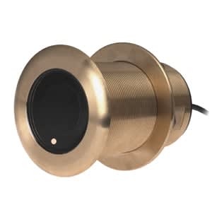
AIRMAR® B75M (12° Tilt)
$1199.00 Add to cartOverview
This bronze thru-hull mount transducer is designed to allow both traditional and spread spectrum scanning when used with a compatible sonar like the GSD™ 26.
A 600 W transducer with 8 pins, it has a depth of 900 ft; an operating frequency of 80-130 kHz; a beamwidth of 24/16 degrees; and a 16 to 24 degree deadrise.
Transducer kit comes with installation instructions. Follow the instructions carefully to avoid damaging your boat.
-

AIRMAR® B75M (20° Tilt)
$1199.00 Add to cartOverview
This bronze thru-hull mount transducer is designed to allow both traditional and spread spectrum scanning when used with a compatible sonar like the GSD™ 26.
A 600 W transducer with 8 pins, it has a depth of 900 ft; an operating frequency of 80-130 kHz; a beamwidth of 24/16 degrees; and a 16 to 24 degree deadrise.
Transducer kit comes with installation instructions. Follow the instructions carefully to avoid damaging your boat.
-
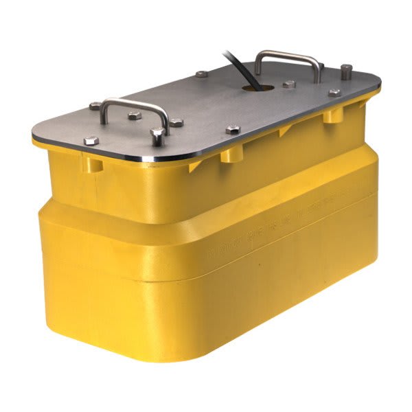
AIRMAR® R111LH
$8499.00 Add to cartOverview
This in-hull or pocket mounted transducer uses narrow beams at low/high frequencies to display depth and temperature data to your Garmin Marine Network via your sonar, such as the GSD 26.
Designed to allow both traditional and Spread Spectrum scanning, this 2 kW barewire, plastic transducer has a maximum depth of 8,000 ft; an operating frequency of 38 to 75 kHz and 130 to 210 kHz; and a beamwidth of 10x19 degrees. The in-hull mounts on a 0-25° deadrise angle; the pocket mount is installation dependent.
Transducer kit comes with installation instructions. Follow the instructions carefully to avoid damaging your boat.
¹In-hull not recommended for cored-hull vessels
-
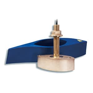
AIRMAR® B265LM
$4299.00 Add to cartOverview
This best performing 1 kW thru-hull transducer, this bare wire mount performs well in deep water and has exceptional bottom and water column detail.
This transducer has a depth of 3,000 ft; an operating frequency of 42 to 65 kHz and 85 to 135 kHz; a beamwidth of 16 to 25 degrees and 11 to 16 degrees; and a 0 to 20 degree deadrise.
Transducer kit comes with installation instructions. Follow the instructions carefully to avoid damaging your boat.
-
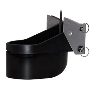
AIRMAR® TM265LM
$3899.01 Add to cartOverview
Our plastic transom mount performs well in deep water and provides exceptional bottom and water column detail.
The best performing and only 1 kW transom mount, this bare wire transducer has a maximum depth of 3,000 ft; an operating frequency of 42 to 65 kHz and 85 to 135 kHz; a beamwidth of 16 to 25 degrees or 11 to 16 degrees; and mounts on a 3 to 21 degree transom.
Transducer kit comes with installation instructions. Follow the instructions carefully to avoid damaging your boat.
-

Lithium-ion Battery Pack (Alpha® handhelds)
$75.00 Add to cartOverview
Bring along this lithium-ion battery pack for extended outings, or as an additional battery pack for your compatible Alpha handheld.
-
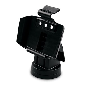
Tilt/swivel Quick-release Mount
$39.00 Add to cartOverview
Secure your compatible marine device with this mount, which features tilt/swivel capabilities for optimum viewing. With the mount's quick cable disconnect feature, you can plug the necessary cords directly into the mount, allowing you to seat/unseat your device with ease.
-
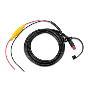
Power Cable (echo™ Series)
$24.00 Add to cartOverview
Supply power to your echo series fishfinder with our 6 ft (1.8 m), 4-pin cable.
-
Quick Release Lanyard
$20.00 Add to cartOverview
Look - no hands! Attach your handheld to this quick release lanyard and wear it around your neck so you can keep your hands free during your outdoor adventure.
-
Belt Clip (Spine Mount)
$15.00 Add to cartOverview
Spine Mount Adapter is required when used with the inReach® Mini 2 device." description-size="large" description-align="center" theme="light" > -
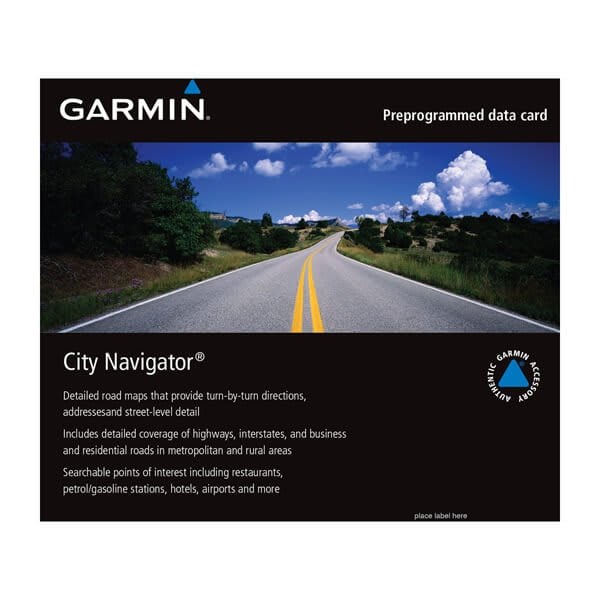
City Navigator® South America NT
$139.00 Add to cartOverview
Navigate the streets with confidence. This product provides detailed road maps and points of interest for your device, so you can navigate with exact, turn-by-turn directions to any address or intersection.
- Displays more than half a million points of interest throughout the country, including restaurants, petrol/gasoline stations, lodging, attractions and railways.
- Gives turn-by-turn directions on compatible devices.
- Speaks street names (example: "Turn right on Main Street").
- Includes navigational features, such as turn restrictions, roundabout guidance and speed categories.
- Contains traffic data for compatible devices that use traffic receivers.
-
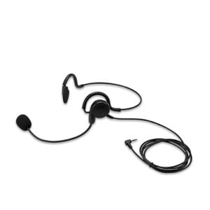
Headset with Boom Microphone, Rino6xx
$25.00 Add to cartOverview
Pair this headset and boom microphone with your two-way radio to communicate, hands-free, with other Rino® users in your group. The headset, which hooks around your ears, features external voice activation (VOX).
-
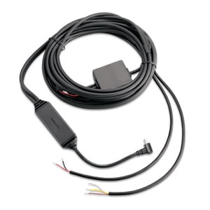
FMI 45 Data and Traffic Cable
$129.00 Add to cartOverview
Enable fleet management capabilities¹ for devices that support our Fleet Management Interface with this FMI 45 power/data cable. The mini-B USB connector provides for safe and easy connection of the cable to the Garmin device².
One end of the cable contains bare wires for termination with any connector and/or additional interface electronics that may be required for connection to the host fleet management hardware in the vehicle.
Please consult your fleet management system provider for an FMI 45 cable that is properly terminated for connection to its fleet management hardware or ask your fleet management system provider for details on what connector and/or additional interface electronics must be added to the FMI 45.
¹The FMI 45 cable simultaneously supports lifetime traffic for North America and FMI data capability for fleet management on compatible Garmin products.
²Connection of 3rd-party power cables and/or data cables to Garmin devices is an express exception (vi) to our 1-Year Consumer Limited Warranty.The third-party map provider does not offer coverage in Mexico. Coverage is limited to Canada and the U.S.
-
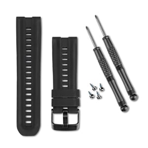
Silicone Watch Band (D2/fenix/quatix/tactix)
$29.00 Add to cartOverview
Customize your compatible wrist-worn device with a band that matches your style. This adjustable, thick and rugged silicone band easily switches from the outdoors to the office for stylish, comfortable everyday wear. The band, screw pins and Torx tools are included in the box.
-
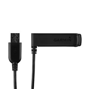
USB/Charger Cable
$35.00 Add to cartOverview
Clip your compatible wrist-worn device into the cradle and use the attached USB interface to plug into your computer or power adapter to recharge the battery. It can also be used to transfer waypoints, routes and tracks between the device and your computer.
-
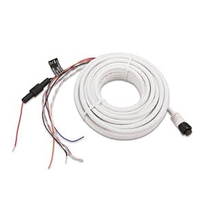
Power/data Cable
$60.01 Add to cartOverview
Hard wire your GPS 19x HVS directly to your NMEA 0183 device to send position, velocity and time data. By adding the update rate select cable (sold separately), the GPS 19x can operate at 1 Hz..
-
Update Rate Select Cable
$8.00 Add to cartOverview
This cable helps limit output position updates on the GHP 19x HVS antenna to once per second using serial communications rates of 4,800 bps. By default, the antenna outputs position data updates 10 times per second using a serial communications rate of 38,400 bps.
-
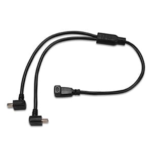
Split Adapter Cable
$20.00 Add to cartOverview
Don't get stuck without either of your tracking or training devices while on the hunt. Our split adapter cable allows you to recharge your Alpha® and TT™ 10 devices in your vehicle at the same time. Or, you can use it to charge 2 devices (Alpha 100 and/or TT 10) from a single cigarette lighter receptacle or single AC adapter.
-
Standard VHF Antenna
$27.02 Add to cartOverview
Get clear signals while training your sporting dog. This 18 1/2-inch flexible, standard-range VHF antenna is for use with your compatible dog device.
-
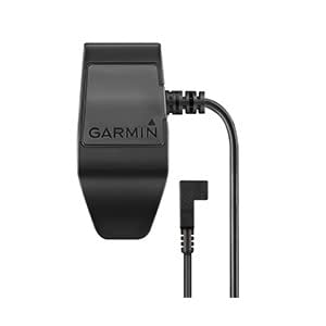
Charging Clip {TT™ 15/T 5 Dog Devices)
$20.00 Add to cartOverview
Recharge your compatible, standard dog devices¹ by plugging your included AC adapter, vehicle power cable or USB cable into this port, and then into the respective power source (wall, cigarette lighter receptacle or computer).
¹This charging cable does not work with mini versions.
-
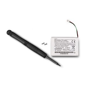
Lithium-ion Battery Pack (TT™ 15 mini/T 5 mini)
$60.01 Add to cartOverview
This lithium-ion battery pack is designed for your TT™ 15 mini or T 5 mini dog devices. Includes battery bracket and screws. This is NOT compatible with the TT 15 and T 5 dog devices (i.e. non-mini devices).
-
Flex Band Sheath Antenna Keeper
$35.00 Add to cartOverview
Attach this full-length antenna keeper to the flex band of your compatible dog tracking collar to keep it from becoming damaged during use.
-
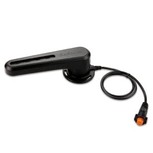
GRF™ 10
$399.00 Add to cartOverview
Pair this sensor with the GHP™ 20 or GHP 12 to provide rudder position feedback and to detect and avoid rudder stops while sailing or boating.
The GRF 10 uses a magnetic sensor to relay position information, eliminating friction that causes other types of sensors to wear out. The arm of the GRF 10 is connected to the rudder of the boat and relays position information through the sensor to the mariner so they know where the rudder is – giving them an added peace of mind when starting from a stopped position, docking, launching or moving at slow speeds.
Additionally, the GRF 10, allows sailors to:
- Know where the rudder is positioned without having to look back
- Make smoother maneuvers and avoid over-compensating
- Save undue wear and stress on their autopilot system by eliminating force on the rudder when it’s already stopped left or right.
-
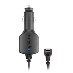
Vehicle Power Cable
$39.00 Add to cartOverview
Power up while you’re on the go with this 12 V adapter. It’s your in-vehicle charger when you’re out on the open road.
-
Motorcycle Mount Bracket
$39.00 Add to cartOverview
Mount your zūmo® to your motorcycle with this bracket that attaches to the bike's handlebars using a RAM mount (sold separately).
-
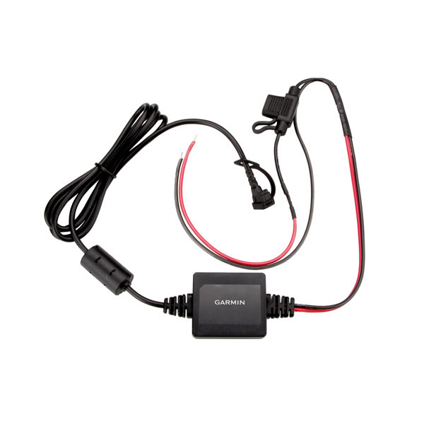
Motorcycle Power Cable
$48.99 Add to cartOverview
Use this power/ground cable in conjunction with a mount bracket (sold separately) to attach your zūmo® to your motorcycle.
-
Suction Cup Mount
$19.00 Add to cartOverview
Navigate with your zūmo® device in your vehicle with this with this suction cup mount.
-
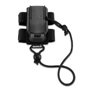
Backpack Tether
$30.00 Add to cartOverview
The same hook-n-loop material also is used to easily stow your compatible Garmin device for optimal GPS performance while still providing access at a moment’s notice. When the device is detached from the hook-n-loop, the spine mount and lanyard cord - adjustable in length from 2 inches to 14 inches - ensure the device will stay with you at all times.
An additional Spine Mount Adapter is required when used with the inReach® Mini 2 device." description-size="large" description-align="center" theme="light" > -
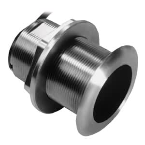
AIRMAR® SS60 (12° Tilt)
$799.00 Add to cartOverview
Transducer kit comes with installation instructions. Follow the instructions carefully to avoid damaging your boat.
When using with a 6-pin Garmin sounder, a transducer adapter cable is required." description-size="large" description-align="center" theme="light" > -

AIRMAR® SS60 (20° Tilt)
$799.00 Add to cartOverview
Transducer kit comes with installation instructions. Follow the instructions carefully to avoid damaging your boat.
When using with a 6-pin Garmin sounder, a transducer adapter cable is required." description-size="large" description-align="center" theme="light" > -
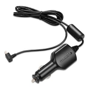
Vehicle Power Cable
$27.01 Add to cartOverview
Power up while you’re on the go with this 12 V adapter. It’s your in-vehicle charger when you’re on the trail. Plugs into any standard cigarette lighter receptacle.
-
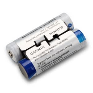
NiMH Battery Pack
$35.00 Add to cartOverview
This long-lasting rechargeable battery pack is more convenient and easier than choosing two AA batteries. The NiMH battery can be charged by your compatible outdoor handheld device — simply charge your device using an AC adapter or the USB cable on your computer and your battery pack will be back to full charge for extended use.
-
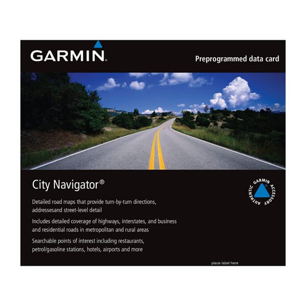
City Navigator® Australia and New Zealand NT - HERE
$189.00 Add to cartOverview
Navigate the streets with confidence. This product provides detailed road maps and points of interest for your device, so you can navigate with exact, turn-by-turn directions to any address or intersection.
- Displays more than half a million points of interest throughout the country, including restaurants, petrol/gasoline stations, lodging, attractions and railways.
- Gives turn-by-turn directions on compatible devices.
- Speaks street names (example: "Turn right on Main Street").
- Includes navigational features, such as turn restrictions, roundabout guidance and speed categories.
- Contains traffic data for compatible devices that use traffic receivers.
-
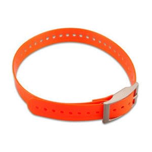
1-inch Collar Straps
$20.00 Add to cartOverview
Our polyurethane-coated 1" collar is rugged and water resistant, just like the original collar that came with your dog tracking device. The 27-inch nylon collar has a nickel plated square buckle and collar keeper and has holes spaced to fit most dogs. Multiple colors available (sold separately).
-
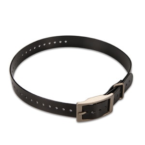
1-inch Collar Straps
$20.00 Add to cartOverview
Our polyurethane-coated 1" collar is rugged and water resistant, just like the original collar that came with your dog tracking device. The 27-inch nylon collar has a nickel plated square buckle and collar keeper and has holes spaced to fit most dogs. Multiple colors available (sold separately).
-
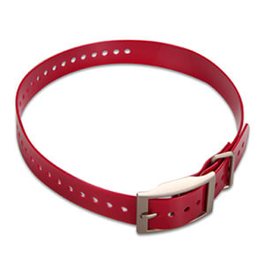
1-inch Collar Straps
$20.00 Add to cartOverview
Our polyurethane-coated 1" collar is rugged and water resistant, just like the original collar that came with your dog tracking device. The 27-inch nylon collar has a nickel plated square buckle and collar keeper and has holes spaced to fit most dogs. Multiple colors available (sold separately).
-
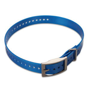
1-inch Collar Straps
$20.00 Add to cartOverview
Our polyurethane-coated 1" collar is rugged and water resistant, just like the original collar that came with your dog tracking device. The 27-inch nylon collar has a nickel plated square buckle and collar keeper and has holes spaced to fit most dogs. Multiple colors available (sold separately).
-
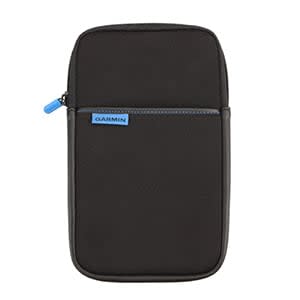
7" Universal Carrying Case
$21.00 Add to cartOverview
Get durable all-around protection for your compatible device with this sleek carrying case. This zippered black case surrounds your device with foam and grey velvet, protecting it from scratches.
-
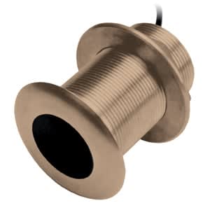
AIRMAR® B150M (12° Tilt)
$619.00 Add to cartOverview
This entry level CHIRP solution provides good depth capability and target separation.
This 8-pin 300 W bronze thru-hull mount transducer has a depth of 600 ft; an operating frequency of 95-155 kHz; a beamwidth of 26/17 degrees; and a 0 to 7 degree deadrise.
Transducer kit comes with installation instructions. Follow the instructions carefully to avoid damaging your boat.
-
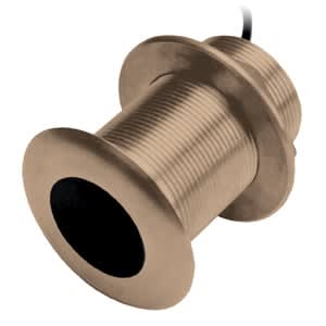
AIRMAR® B150M (20° Tilt)
$619.00 Add to cartOverview
This entry level CHIRP solution provides good depth capability and target separation.
This 8-pin 300 W bronze thru-hull mount transducer has a depth of 600 ft; an operating frequency of 95-155 kHz; a beamwidth of 26/17 degrees; and a 0 to 7 degree deadrise.
Transducer kit comes with installation instructions. Follow the instructions carefully to avoid damaging your boat.
-
Suction Cup Mount
$35.00 Add to cartOverview
This adjustable suction cup mount allows you to easily access your compatible device while navigating in your vehicle. Simply suction your mount to the windshield or any smooth, flat surface for easy viewing.
-
Suction Cup Mount
$19.00 Add to cartOverview
Access your compatible device for easier navigation in your vehicle. Simply suction the mount to the windshield or any smooth, flat surface. This mount has a ball joint size of 0.67” (17 mm).
-
USB Vehicle Charging Adapter
$35.00 Add to cartOverview
Charge or power your compatible device while on the move with this adapter. Requires a USB cable (sold separately).
-
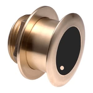
AIRMAR® B175H
$2499.00 Add to cartOverview
Step up to 1 kW without a fairing with this flush-mounted bronze housing that protrudes less than 1/4-inch outside the hull and can sit on the trailer rollers/bunks without damage.
The tilted element inside the transducer accommodates all hull deadrises and eliminates the need for a fairing block. And, low, medium and high frequency versions provide maximum flexibility for the choice of frequencies.
An excellent choice for fibreglass and wood hulls, this 8-pin transducer has a depth of 1,500 ft (450 m) and an operating frequency of 85-135 kHz.
Transducer kit comes with installation instructions. Follow the instructions carefully to avoid damaging your boat.
-
AIRMAR® B175H
$2499.00 Add to cartOverview
Step up to 1 kW without a fairing with this flush-mounted bronze housing that protrudes less than 1/4-inch outside the hull and can sit on the trailer rollers/bunks without damage.
The tilted element inside the transducer accommodates all hull deadrises and eliminates the need for a fairing block. And, low, medium and high frequency versions provide maximum flexibility for the choice of frequencies.
An excellent choice for fibreglass and wood hulls, this 8-pin transducer has a depth of 1,500 ft (450 m) and an operating frequency of 85-135 kHz.
Transducer kit comes with installation instructions. Follow the instructions carefully to avoid damaging your boat.
-
AIRMAR® B175H
$2499.00 Add to cartOverview
Step up to 1 kW without a fairing with this flush-mounted bronze housing that protrudes less than 1/4-inch outside the hull and can sit on the trailer rollers/bunks without damage.
The tilted element inside the transducer accommodates all hull deadrises and eliminates the need for a fairing block. And, low, medium and high frequency versions provide maximum flexibility for the choice of frequencies.
An excellent choice for fibreglass and wood hulls, this 8-pin transducer has a depth of 1,500 ft (450 m) and an operating frequency of 85-135 kHz.
Transducer kit comes with installation instructions. Follow the instructions carefully to avoid damaging your boat.
-
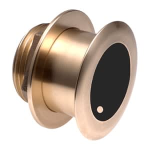
AIRMAR® B175L
$3299.00 Add to cartOverview
Step up to 1 kW without a fairing with this flush-mounted bronze housing that protrudes less than 1/4-inch outside the hull and can sit on the trailer rollers/bunks without damage.
The tilted element inside the transducer accommodates all hull deadrises and eliminates the need for a fairing block. And, low, medium and high frequency versions provide maximum flexibility for the choice of frequencies.
An excellent choice for fibreglass and wood hulls, this 8-pin transducer has a depth of 1,500 ft (450 m) and an operating frequency of 85-135 kHz.
Transducer kit comes with installation instructions. Follow the instructions carefully to avoid damaging your boat.
-
AIRMAR® B175L
$3299.00 Add to cartOverview
Step up to 1 kW without a fairing with this flush-mounted bronze housing that protrudes less than 1/4-inch outside the hull and can sit on the trailer rollers/bunks without damage.
The tilted element inside the transducer accommodates all hull deadrises and eliminates the need for a fairing block. And, low, medium and high frequency versions provide maximum flexibility for the choice of frequencies.
An excellent choice for fibreglass and wood hulls, this 8-pin transducer has a depth of 1,500 ft (450 m) and an operating frequency of 85-135 kHz.
Transducer kit comes with installation instructions. Follow the instructions carefully to avoid damaging your boat.
-
AIRMAR® B175L
$3299.00 Add to cartOverview
Step up to 1 kW without a fairing with this flush-mounted bronze housing that protrudes less than 1/4-inch outside the hull and can sit on the trailer rollers/bunks without damage.
The tilted element inside the transducer accommodates all hull deadrises and eliminates the need for a fairing block. And, low, medium and high frequency versions provide maximum flexibility for the choice of frequencies.
An excellent choice for fibreglass and wood hulls, this 8-pin transducer has a depth of 1,500 ft (450 m) and an operating frequency of 85-135 kHz.
Transducer kit comes with installation instructions. Follow the instructions carefully to avoid damaging your boat.
-
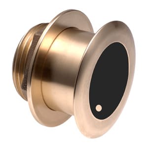
AIRMAR® B175M
$1799.00 Add to cartOverview
Step up to 1 kW without a fairing with this flush-mounted bronze housing that protrudes less than 1/4-inch outside the hull and can sit on the trailer rollers/bunks without damage.
The tilted element inside the transducer accommodates all hull deadrises and eliminates the need for a fairing block. And, low, medium and high frequency versions provide maximum flexibility for the choice of frequencies.
An excellent choice for fibreglass and wood hulls, this 8-pin transducer has a depth of 1,500 ft (450 m) and an operating frequency of 85-135 kHz.
Transducer kit comes with installation instructions. Follow the instructions carefully to avoid damaging your boat.
-
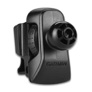
Air Vent Mount
$24.99 Add to cartOverview
See your device in a new way. Attach your compatible Garmin sat-nav to the air vent in your vehicle with this mount, an alternative to windshield and dash mounts. This mount has a ball joint size of 0.67″ (17 mm). Not compatible with Garmin DriveLuxe™, Garmin DriveAssist™ or any navigation devices 7″ or larger.
-
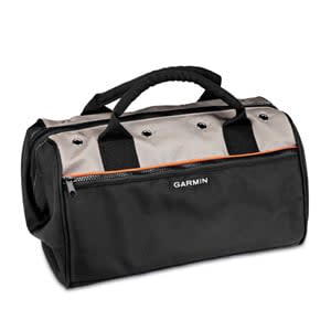
Field Bag
$49.01 Add to cartOverview
Protect and transport your Astro® 320, DC™ 50 and associated accessories with this durable field bag. Made with black and gray polyester with an orange stripe, this zippered bag is big enough to house multiple devices and accessories. The bright orange interior helps you see inside the bag so your black items don't get lost in the mesh pockets.
-
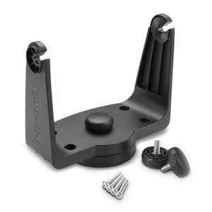
Tilt/Swivel Mounting Bracket
$25.00 Add to cartOverview
Mount your echoMAP™ or GPSMAP® using this bracket. The mount swivels and tilts for optimum viewing.
-
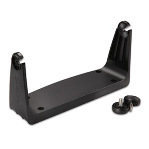
Bail Mount with Knobs
$49.01 Add to cartOverview
Surface mount your echoMAP™ or GPSMAP® using our bail mount with knobs. The mount tilts for optimum viewing.
-
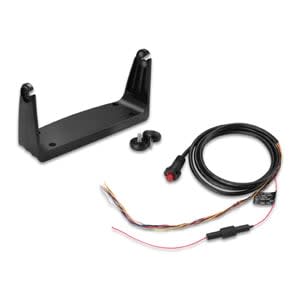
Second Mounting Station
$69.00 Add to cartOverview
Mount any additional echoMAP™ or GPSMAP® on your boat with this second mounting station. Also includes a wiring harness to power your compatible device and connect to an optional NMEA 0183 network.
-
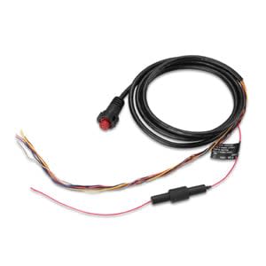
Power Cable (8-pin)
$28.00 Add to cartOverview
Power and connect your compatible GPSMAP® device with this 8-pin power/data cable. Use with NMEA 0183 devices and a lamp or horn for visible or audible alerts.
-

Protective Cover
$20.00 Add to cartOverview
Our protective cover fits your echoMAP™ and GPSMAP®, keeping them safe from the harsh marine environment when not in use.
-
Trim Piece Snap Cover (GPSMAP® 7x1 Series)
$7.00 Add to cartOverview
Don't let lost or broken trim blemish the beauty of your Garmin. Use our replacement trim bezel after you've mounted your GPSMAP device.
-
Flush Mount Kit
$20.00 Add to cartOverview
Use our gasket kit to flush mount your compatible device. Includes hardware, installation instructions and a template.
-
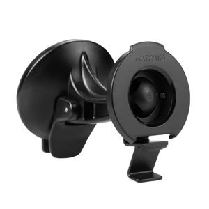
Suction Cup Mount
$20.00 Add to cartOverview
Access your compatible device for easier navigation with this adjustable suction cup mount. Adheres to your windshield or any smooth, flat surface. Includes suction cup mount and cradle.
-
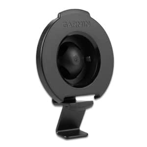
Universal Bracket Mount
$12.00 Add to cartOverview
Use our bracket mount to secure your compatible navigator to a suction cup mount, portable friction mount or adhesive dashboard mount. Package includes bracket mount only.
-
Suction Cup Mount
$24.99 Add to cartOverview
Access your compatible 6.0 inch device for easier navigation in your vehicle. Simply suction the mount to the windshield or any smooth, flat surface.
-
Mounting Gasket (GPSMAP® 8008/8208)
$19.00 Add to cartOverview
Use our black foam gasket when flush or flat mounting your GPSMAP 8008 multifunctional display (MFD) to your boat.
-

Mounting Gasket (GPSMAP® 8015/8215)
$19.00 Add to cartOverview
Use our black foam gasket when flush or flat mounting your GPSMAP 8015 multifunctional display (MFD) to your boat.
-

Trim Piece Snap Cover (GPSMAP® 8008/8208)
$31.00 Add to cartOverview
Don't let lost or broken trim blemish the beauty of your glass helm display. Use our replacement trim bezel and mount your GPSMAP 8008 multifunctional display (MFD).
-
Trim Piece Snap Cover (GRID™)
$39.00 Add to cartOverview
Don't let misplaced or broken trim blemish the beauty of your glass helm display. Use our replacement trim bezel and mount your Garmin Remote Input Device (GRID).
-
Trim Piece Snap Cover (Garmin Card Reader)
$39.00 Add to cartOverview
Don't let misplaced or broken trim blemish the beauty of your glass helm display. Use this trim bezel and mount your Garmin Card Reader.
-
GA™ 38 GPS and GLONASS Antenna, For Garmin VHF, AIS and Chartplotters
$209.00 Add to cartOverview
External GPS/GLONASS antennas provide increased flexibility and installation options as well as the potential for enhanced reception of GPS/GLONASS signal for those products with built-in GPS/GLONASS antennas." description-size="large" description-align="center" theme="light" > -
Protective Cover
$15.00 Add to cartOverview
Use our protective cover to protect your device from the harsh marine environment when not in use.
-
Flush Mount Gasket
$15.00 Add to cartOverview
Flush or flat mount your GMI™ 20 digital marine instrument display or GHC™ 20 marine autopilot control unit with this flush-mount gasket.
-
Trim Snap Piece Cover - Black
$15.00 Add to cartOverview
Don't let a lost or broken trim piece blemish the beauty of your helm. Use our replacement trim bezel and mount your GMI™ 20 digital marine instrument display or GHC™ 20 marine autopilot control unit. Or, simply use the trim piece to help match the GMI/GHC to the GPSMAP® 8000 Glass Helm series or GPSMAP 5x7/7x1 series.
-
Trim Snap Piece Cover - Silver/Black
$15.00 Add to cartOverview
Don't let a lost or broken trim piece blemish the beauty of your helm. Use our replacement trim bezel and mount your GMI™ 20 digital marine instrument display or GHC™ 20 marine autopilot control unit. Or, simply use the trim piece to help match the GMI/GHC to your legacy Garmin chartplotter, such as the GPSMAP® 4000/5000/6000/7000 or GPSMAP 4x1/5x1/5x6 series.
-
microSD™ Card Door
$15.00 Add to cartOverview
Our replacement microSD door keeps your Garmin at sea by securing and protecting your memory card.
-
Power Cable
$89.00 Add to cartOverview
Power your Garmin radar with this 48 foot long threaded cable.
-
Power Cable Right Angle (2-pin)
$69.00 Add to cartOverview
Power your comaptible black box sonar with this 6 ft (2 m) threaded power cable. The right-angle connector helps with the tight fit often associated with mounting.
-
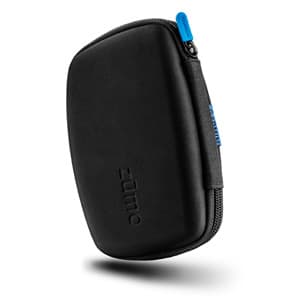
zūmo® Carrying Case
$39.00 Add to cartOverview
Travel in style with this sleek carrying case. It’s built to endure the elements, protecting zūmo for the long haul.
This case is specifically designed for the 5-inch zūmo with a durable thermo-molded exterior with a zipper-accessed padded interior.
-
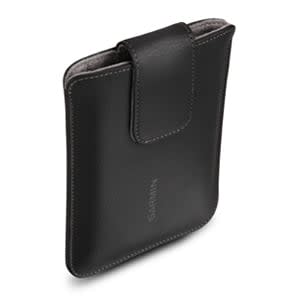
6" Universal Carrying Case
$24.99 Add to cartOverview
Get durable all-around protection for your compatible device with this sleek carrying case. This zippered black case surrounds your device with foam and grey velvet, protecting it from scratches.
-
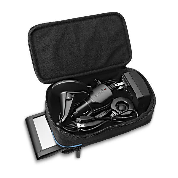
Universal Carry All Case
$25.00 Add to cartOverview
This rugged carrying case holds your 3.5-inch, 4.3-inch, 5.0-inch or 6.0-inch Garmin navigator. With its 2 zippered compartments, it will protect your device from scratches while the other side will store all your cables, chargers and mounts.
-
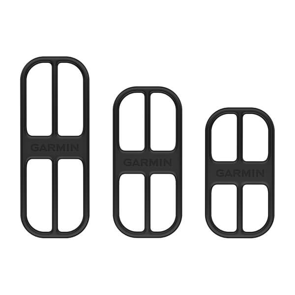
Bike Cadence Sensor Bands
$9.00 Add to cartOverview
Attach your bike cadence sensor to the crank arm of your bicycle with this set of 3 replacement straps (small, medium and large).
-
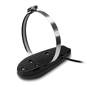
Trolling Motor Mount (4/8-pin)
$39.00 Add to cartOverview
Easily attach your compatible 4- or 8-pin scanning transducer to the trolling motor of your boat with this mount. Its low-profile design provides ultimate protection from underwater obstructions and easy mounting.
-

Step Mount
$39.00 Add to cartOverview
Easily attach your compatible 4-, 8- or 12-pin transducer to the step of your boat with this mount, which provides excellent sonar returns at low speeds. The mount protects the transducer from underwater obstructions and creates no drag on the boat. The sonar will not track bottom when the boat is on plane, since the transducer will be out of the water.
-
Jack Plate Mount
$29.00 Add to cartOverview
Easily attach your compatible 4-, 8- or 12-pin scanning transducer to the jack plate of your boat with this mount, which provides excellent sonar returns at low speeds. The mount protects the transducer from underwater obstructions and creates no drag on the boat — all while allowing angle adjustment of the transducer so it is parallel with the water surface. And since the transducer is out of the water, sonar will not track bottom when the boat is on plane.
-
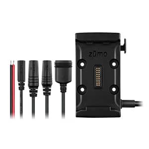
zūmo® Motorcycle Mount
$85.00 Add to cartOverview
Mount zūmo to your motorcycle and charge on the go. Includes mounting bracket, hardware and bare wire power cable.
-
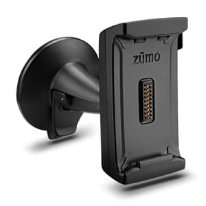
zūmo® Automotive Mount
$49.01 Add to cartOverview
Mount zūmo to your windshield and use it as your in-car navigator. Includes suction cup and zūmo mounting bracket.
-
Mast Cables
$89.00 Add to cartOverview
Run these 25 m (82 ft) or 40 m (131 ft) cables up the mast to connect your gWind™ and gWind Race transducers.
-
Mast Cables
$179.00 Add to cartOverview
Run these 25 m (82 ft) or 40 m (131 ft) cables up the mast to connect your gWind™ and gWind Race transducers.
-
Mast Bracket (gWind™/gWind Wireless)
$35.00 Add to cartOverview
Secure your gWind and gWind Wireless mast securely with this bracket.
-
Mast Bracket (gWind™ Race)
$119.00 Add to cartOverview
Secure your gWind Race mast securely with this bracket.
-
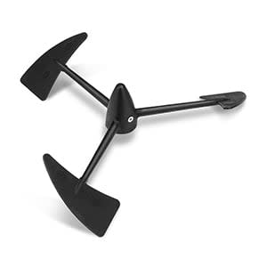
Propeller
$29.00 Add to cartOverview
Don't let a missing propeller keep you from receiving accurate wind data. Our replacement propeller ensures you can maintain the twin-fin technology with 3-bladed propeller our gWind™ family of transducers are known for in the marine market.
-
NiMH Battery (gWind™ Wireless)
$29.00 Add to cartOverview
The internal batteries of the gWind Wireless are continuously charged by a small solar panel integrated on the transducer arm, and have a life of around 3 to 4 years. But when the time comes to replace them, they can be easily replaced with this NiMH battery.
-
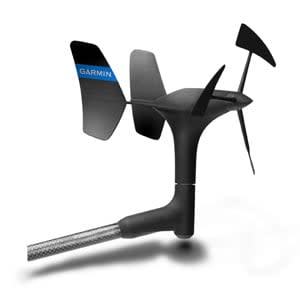
gWind™ Transducer Only
$769.00 Add to cartOverview
The gWind transducer features twin-fin technology with 3-bladed propeller for more accurate TWS in lighter air while the twin-fin design gives a more stable TWA. The 3-bladed propeller, unlike a cups design, is always efficient. Combined with optic reading this transducer provides superior accuracy at low wind speeds and also provides for excellent linearity.
This configuration includes only the gWind series transducer, making it easier for you to replace your device if needed.
-
8-pin Transducer to 12-pin Sounder Adapter Cable with XID
$39.00 Add to cartOverview
Use this adapter cable to connect an 8-pin transducer with XID to a 12-pin sonar port on a compatible marine device.
-
Protective Cover (GPSMAP® 800 Series)
$25.00 Add to cartOverview
Our protective cover fits your compatible device, keeping it safe from the harsh marine environment when not in use.
-
Trim Piece Snap Cover (GPSMAP® 800 Series)
$9.00 Add to cartOverview
Don't let misplaced or broken trim blemish the beauty of your Garmin. Use this trim bezel and mount your compatible GPSMAP device.
-
Flush Mount Kit (GPSMAP® 800 Series)
$25.00 Add to cartOverview
Looking for a sleeker installation of your compatible Garmin device? Our flush mount kit allows you to easily position your device against most flat surfaces in your boat.
The kit includes hardware, installation instructions and a template.
-
Bail Mount with Knobs (GPSMAP® 7x07)
$49.01 Add to cartOverview
Surface mount your GPSMAP using our bail mount with knobs. The mount tilts for optimum viewing.
-
Flush Mount Kit (GPSMAP® 12x2 Touch, 7x12 Series)
$39.00 Add to cartOverview
Looking for a sleeker installation of your compatible Garmin device? Our flush mount kit allows you to easily position your device against most flat surfaces in your boat.
The kit includes hardware, installation instructions and a template.
-

Flush Mount Kit (GPSMAP® 7x16)
$29.00 Add to cartOverview
Get a sleek look by flush mounting your compatible device against most flat surfaces in your boat. The kit includes hardware, installation instructions and a template.
-
Trim Piece Snap Cover (GPSMAP® 7x07)
$7.00 Add to cartOverview
Don't let misplaced or broken trim blemish the beauty of your Garmin. Use this trim piece snap cover and mount your compatible GPSMAP device.
-
Trim Piece Snap Cover (GPSMAP® 12x2 Touch, 7x12 Series)
$39.00 Add to cartOverview
Don't let misplaced or broken trim blemish the beauty of your Garmin. Use this trim piece snap cover and mount your compatible GPSMAP device.
-
Trim Piece Snap Cover (GPSMAP® 7x16)
$10.00 Add to cartOverview
Don't let misplaced or broken trim blemish the beauty of your Garmin. Use this trim bezel and mount your compatible GPSMAP device.
-
Protective Cover (GPSMAP® 7x07)
$29.00 Add to cartOverview
Our protective cover fits your compatible device, keeping it safe from the harsh marine environment when not in use.
-

SD™ Card Door
$8.00 Add to cartOverview
Secure and protect the memory card in your compatible marine device with this SD door.
-
Bail Mount with Knobs (GPSMAP® 7x16)
$89.00 Add to cartOverview
Surface mount your GPSMAP using our bail mount with knobs. The mount tilts for optimum viewing.
-
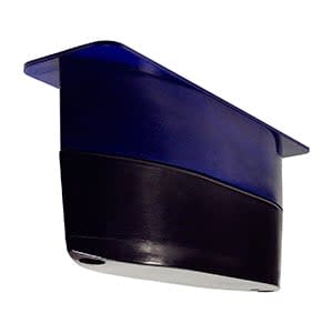
AIRMAR® R109LHW
$8799.00 Add to cartOverview
This plastic thru-hull mount transducer uses the low frequencies for deep water performance and high wide frequencies for shallow water performance.
A 2 kW in a slightly smaller package, this bare wire transducer has a depth of 6,000 feet; an operating frequency of 38 to 75 kHz and 150 to 250 kHz; a beamwidth of 9x23 degrees or a constant 25 degrees; and a 0 to 25 degree deadrise.
Transducer kit comes with installation instructions. Follow the instructions carefully to avoid damaging your boat.
-
Power/Data Cable
$30.00 Add to cartOverview
Use this 6 foot power/data cable to power your compatible echoMAP™. Includes NMEA 0183 inputs/outputs.
-
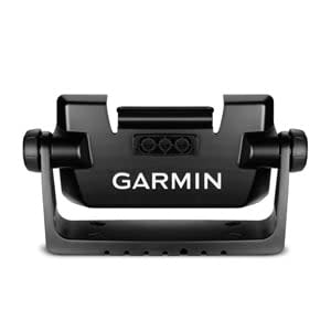
Bail Mount with Knobs
$49.01 Add to cartOverview
Surface mount your echoMAP™ using our bail mount with knobs; the mount tilts for optimum viewing. With the mount’s quick cable disconnect feature, you can plug the necessary cords into the mount, allowing you to seat/unseat your device with ease.
-
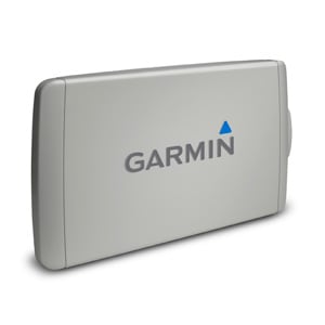
echoMAP™ 9" Protective Cover
$29.00 Add to cartOverview
Our protective cover fits your compatible echoMAP™, helping to keep it safe from the harsh marine environment when not in use.
-

Flush Mount Kit
$29.00 Add to cartOverview
Looking for a sleeker installation of your compatible Garmin device? Our flush mount kit allows you to easily position your device against most flat surfaces in your boat. The kit includes hardware, installation instructions and a template.
-
Trim Piece Snap Cover
$7.00 Add to cartOverview
Don't let misplaced or broken trim blemish the beauty of your Garmin. Use this trim piece snap cover and mount your compatible echoMAP™ device.
-
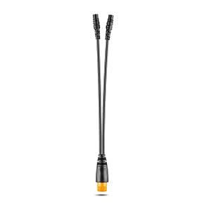
12-pin to Dual 4-pin Transducer Y-Cable
$49.01 Add to cartOverview
Use this adapter cable when connecting a compatible 12-pin transducer to a compatible 4-pin Garmin device.
-
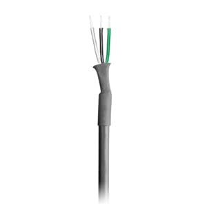
User Data Sharing Cable
$26.00 Add to cartOverview
Share user data such as waypoints and routes with other compatible Garmin devices.
-
Flush Mount Kit
$20.00 Add to cartOverview
Looking for a sleeker installation of your compatible Garmin device? Our flush mount kit allows you to easily position your device against most flat surfaces in your boat. The kit includes hardware, installation instructions and a template.
-
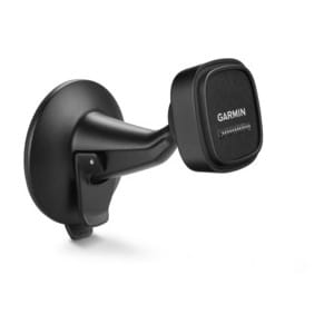
Suction Cup Mount with Magnetic Cradle (fleet™ 660/670)
$39.00 Add to cartOverview
Access your fleet device while you navigate with this suction cup mount. The powered magnetic cradle charges your device while you drive. Simply suction your mount to the windshield or any smooth, flat surface. Includes suction cup mount and cradle.
-
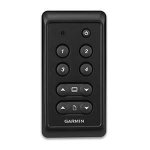
GNX™ Keypad
$329.00 Add to cartOverview
Control a compatible GNX instrument display from a distance with this push-button keypad interface which can be fixed-mounted near the helm. It features 4 buttons dedicated to preset configurations. Plus, you can adjust the background lighting of all displays with the touch of a button.
-

Large Tube Mount (VIRB®)
$37.00 Add to cartOverview
Capture your entire adventure with this large tube mount that secures your VIRB X or VIRB XE to your bike or other large tube sporting equipment. Secure your device in the mount using the inserts. Adjustable arms provide flexibility to get the right shot.
The mount can be used on large tubes from 0.75 inches to 1.5 inches (19 mm to 38 mm), including handlebars, seat posts, roll bars, shotgun barrels and more.
-
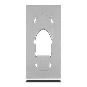
Kayak In-hull Transducer Mount
$39.00 Add to cartOverview
Our versatile in-hull transducer mounting solution for kayaks allows fishermen to get out on the water with their favorite Garmin equipment.
The mount fits the Garmin dual beam transducer (77/200 kHz) and GT20-TM transducer (77/200 kHz/ClearVü), and is for use with compatible fishfinder and combo marine devices. It can withstand continous water submersion without releasing, all while protecting your transducer (sold separately) within the kayak.
The mount — a foam pad with adhesive — comes with installation instructions. No tools are required for installation; however, follow the instructions carefully to avoid damaging your boat.
Not compatible with Garmin CV20-TM transducer
-
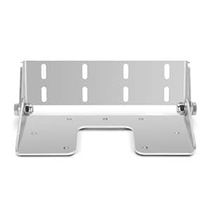
Transom Mount Kit (Panoptix™ PS30)
$69.00 Add to cartOverview
Easily attach your Panoptix PS30 Down Transducer to the transom of your boat with this stainless steel mount. Kit includes transom mount brackets and hardware.
-
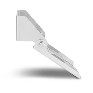
Transom Mount Kit (Panoptix™ PS31)
$69.00 Add to cartOverview
Easily attach your Panoptix PS31 Forward Transducer to the transom of your boat with this stainless steel mount. Kit includes transom mount brackets and hardware.
Please note: The forward-facing transom mount transducer should be mounted in a location that is out of the water at speeds over 20 mph (32 km/h). If located below the water line, cruising speeds over 25 mph (40 km/h) should be avoided.
-
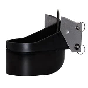
AIRMAR® TM265LH
$3399.00 Add to cartOverview
Our plastic transom mount performs well in deep water and provides exceptional bottom and water column detail.
The best performing 1 kW transom mount, this transducer has a maximum depth of 3,000 feet; an operating frequency of 42 to 65 kHz and 130 to 210 kHz; a beamwidth of 16 to 25 degrees or 6 to 10 degrees; and mounts on a 3 to 21 degree transom.
Transducer kit comes with installation instructions. Follow the instructions carefully to avoid damaging your boat.
-
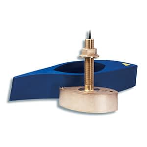
AIRMAR® B265LH
$3799.00 Add to cartOverview
This best performing 1 kW thru-hull transducer, this mount performs well in deep water and has exceptional bottom and water column detail.
This transducer has a depth of 3,000 feet; an operating frequency of 42 to 65 kHz and 130 to 210 kHz; a beamwidth of 16 to 25 degrees and 6 to 10 degrees; and a 0 to 20 degree deadrise.
Transducer kit comes with installation instructions. Follow the instructions carefully to avoid damaging your boat.
-
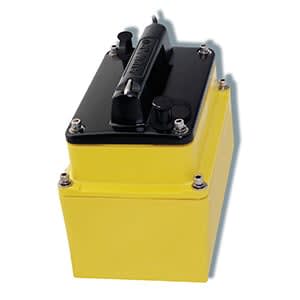
AIRMAR® M265LH
$3299.00 Add to cartOverview
The best performing 1 kW in-hull, this narrow beam transducer provides crisp image detail.
The transducer has a depth of 3,000'; an operating frequency of 42 to 65 kHz and 130 to 210 kHz; a beamwidth of 16 to 25 degrees or 6 to 10 degrees; and a 0 to 30 degree deadrise.
Transducer kit comes with installation instructions. Follow the instructions carefully to avoid damaging your boat.
*Not recommended for cored-hull vessels.
-
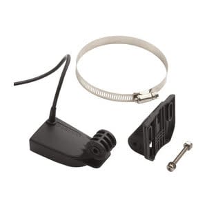
Garmin GT8HW-TM
$249.00 Add to cartOverview
This dual beam transducer replaces the one included with your echo™ or STRIKER™ series fishfinder. A 500 W 4-pin transducer, it has an operating frequency of 77/200 kHz; a beamwidth of 45/15 degrees; and mounts on a 0 to 70 degree transom.
Transducer kit comes with installation instructions. Follow the instructions carefully to avoid damaging your boat.
-
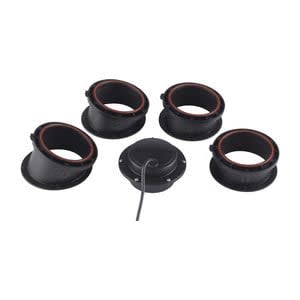
Garmin GT15M-IH
$339.00 Add to cartOverview
This dual beam transducer replaces the one included with your echo™ or STRIKER™ series fishfinder. A 500 W 4-pin transducer, it has an operating frequency of 77/200 kHz; a beamwidth of 45/15 degrees; and mounts on a 0 to 70 degree transom.
Transducer kit comes with installation instructions. Follow the instructions carefully to avoid damaging your boat.
-
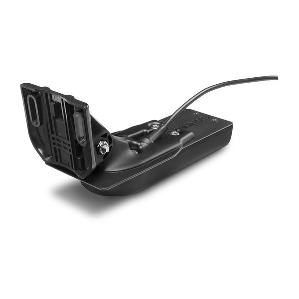
Garmin GT22HW-TM
$289.00 Add to cartOverview
For the shallow water anglers who wants traditional and CHIRP ClearVü scanning sonar, this transom or trolling motor mounted transducer consistently displays fish arches as well as clear pictures of objects, structure and fish that pass below your boat.
The 20 ft transducer cable with built-in fast response temperature sensor has a power rating of 500 W; a depth of 1,900 ft (traditional) and 750 ft (ClearVü); an operating frequency of 77/200 kHz (traditional) and 455 kHz (ClearVü); and a 0 to 70 transom angle.
Transducer comes with transom and trolling motor mounts, and installation instructions. Follow the instructions carefully to avoid damaging your boat.
-
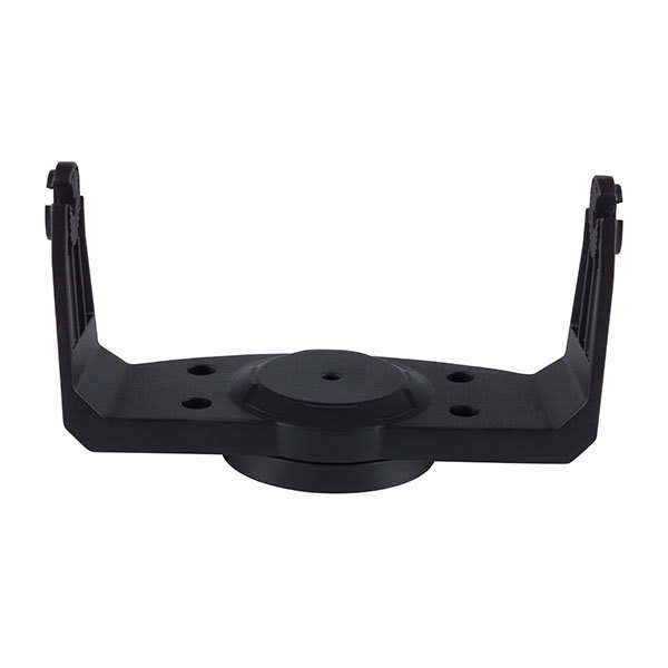
Tilt/Swivel Mount
$35.00 Add to cartOverview
Secure your compatible marine device with this mount, featuring tilt/swivel capabilities for optimum viewing.
-
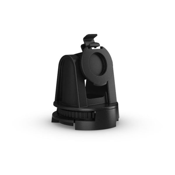
Tilt/Swivel Mount
$20.00 Add to cartOverview
Secure your compatible marine device with this mount that features tilt/swivel capabilities for optimum viewing.
-
Flush Mount Kit
$29.00 Add to cartOverview
Easily position your compatible device against most flat surfaces in your boat with this flush mount kit. It includes hardware, instructions and a template for sleek installation.
-
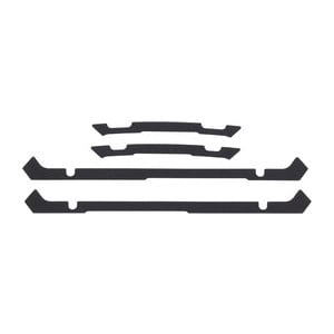
Flush Mount Kit
$25.00 Add to cartOverview
Easily position your compatible device against most flat surfaces in your boat with this flush mount kit. It includes hardware, instructions and a template for sleek installation.
-
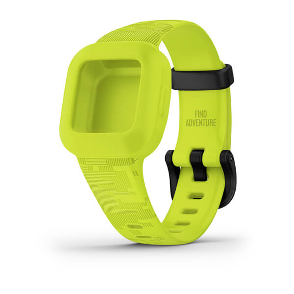
Digi Camo Band
$45.00 Add to cartFits wrists with a circumference of 130-175 mm
Overview
INCLUDES CODE TO UNLOCK EXCLUSIVE APP ADVENTURES
-
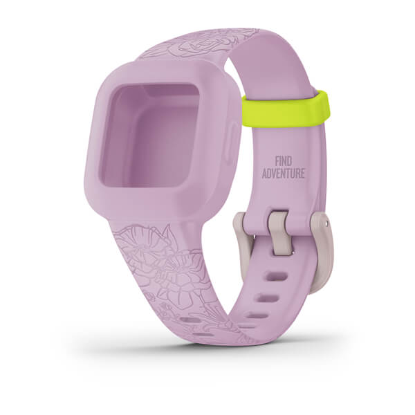
Lilac Floral Band
$45.00 Add to cartFits wrists with a circumference of 130-175 mm
Overview
INCLUDES CODE TO UNLOCK EXCLUSIVE APP ADVENTURES
-
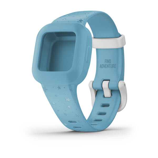
Blue Stars Band
$45.00 Add to cartFits wrists with a circumference of 130-175 mm
Overview
INCLUDES CODE TO UNLOCK EXCLUSIVE APP ADVENTURES
-
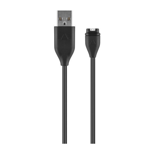
USB-A Charging/Data Cable
$39.00 Add to cartOverview
Complete two tasks with one cable using our charging/data cable. Connect the cable to your computer's USB port to recharge your compatible device and to transfer data to and from your computer. This cable also pairs with an optional AC adapter (sold separately).
-
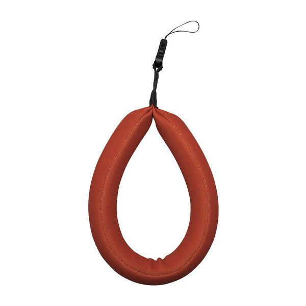
Flotation Lanyard
$19.00 Add to cartOverview
Keep your device secure and close-at-hand on the water with this neoprene flotation lanyard, featuring a quick-release connector.
-
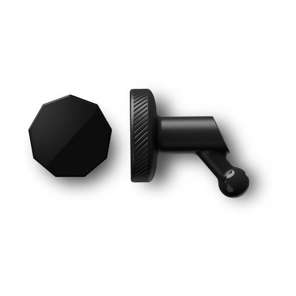
Low-profile Magnetic Mount
$19.00 Add to cartOverview
Easily attach and remove your compatible Dash Cam with this low-profile mount. The magnetic base securely attaches to the mounting surface using adhesive. Includes one mount and one base. This mount has a ball joint size of 0.3″ (8.55 mm).
-
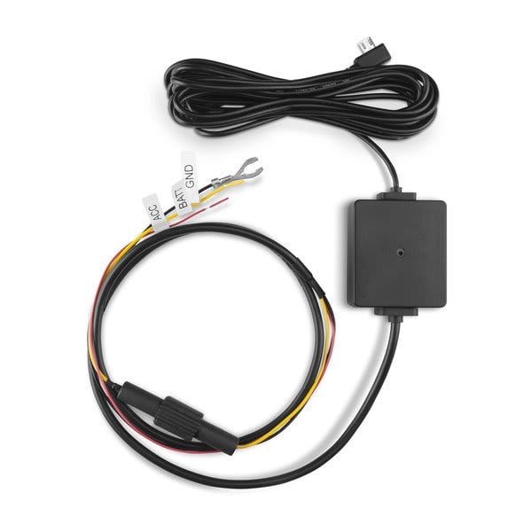
Parking Mode Cable
$55.00 Add to cartOverview
Connect your compatible Garmin Dash Cam™ to constant power and monitor incidents to your vehicle even when parked and turned off. Cable is 4 metres long.
-
Low-profile Adhesive Mount
$19.00 Add to cartOverview
Securely mount your compatible Dash Cam and keep your hands on the wheel while driving. The low-profile design helps minimize blockage of your line of sight as you navigate. Includes two mounts with adhesive material. This mount has a ball joint size of 0.3” (8.55 mm).
-
Dual USB Power Adapter, Dash Cam Mini
$39.00 Add to cartOverview
Power your compatible Garmin Dash Cam with this adapter while also having the ability to charge a phone, tablet or any other device that needs power while on the go. Includes long power cable (4 metres) for hidden installations and shorter power/data cable (1.5 metres) for portable use.
-
Extra-Long Power Cable
$39.00 Add to cartOverview
Power and recharge your compatible Dash Cam with this 26’ (8 meter) power cable.
-
Polarized Lens Cover
$30.00 Add to cartOverview
Attach this polarized lens cover to your compatible camera device to increase video clarity and reduce reflections.
-
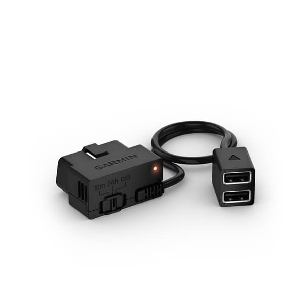
Constant Power Cable
$69.00 Add to cartOverview
Plug into your vehicle’s OBD-II port for constant power to your compatible Garmin Dash Cam, even when the vehicle is parked and turned off. Compatible with most passenger vehicles; not compatible with commercial vehicles with a J1939 connector.
-
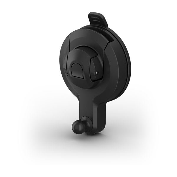
Garmin Dash Cam™ Universal Suction Cup Mount
$25.00 Add to cartOverview
Remote Cam so recorded video is not obstructed." description-size="large" description-align="center" theme="light" > -
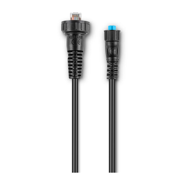
Garmin Marine Network Adapter Cable - Small (Female) to Large
$49.01 Add to cartOverview
Panoptix™ LiveScope Ice Fishing Kit This cable does not replace the need of a Garmin BlueNet™ 30 gateway. Check compatibility before purchase." description-size="large" description-align="center" theme="light" > -
QuickFit® 26 Watch Bands
$479.00 Add to cartLength of adjustment band is 124 mm. Length of buckle band is 95 mm. Include your watch case size when measuring for fit.
Overview
Just swap, click and go with 26 mm wide interchangable bands for your compatible watch. Choose leather, metal or silicone to change your watch's look and feel in a snap. It's easy to switch, and always secure. No tools required.
-
Hook and Loop Strap
$35.00 Add to cartOverview
Secure your compatible navigator to your wrist so you can use both hands during your outdoor activities.
-
vívofit® 4 Bands
$29.00 Add to cartFits wrists with a circumference of 122-188 mm
Overview
Stay on track - and be stylish - with these colored bands for your vívofit 4. Additional colors and sizes sold separately.
-
vívofit® 4 Bands
$29.00 Add to cartFits wrists with a circumference of 122-188 mm
Overview
Stay on track - and be stylish - with these colored bands for your vívofit 4. Additional colors and sizes sold separately.
-
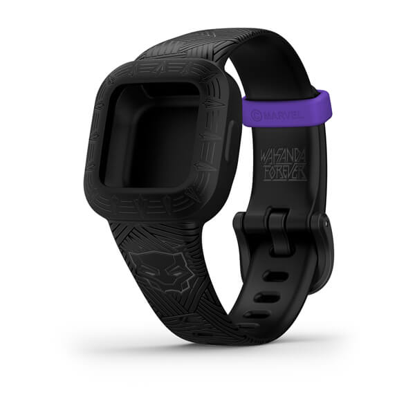
Marvel Black Panther Band
$45.00 Add to cartFits wrists with a circumference of 130-175 mm
Overview
INCLUDES CODE TO UNLOCK EXCLUSIVE APP ADVENTURES
-
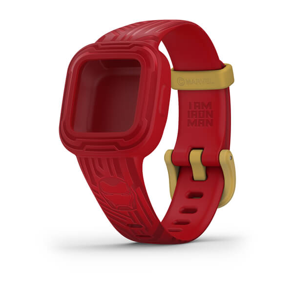
Marvel Iron Man Band
$45.00 Add to cartFits wrists with a circumference of 130-175 mm
Overview
INCLUDES CODE TO UNLOCK EXCLUSIVE APP ADVENTURES
-
Disney Princess Band
$45.00 Add to cartFits wrists with a circumference of 130-175 mm
Overview
INCLUDES CODE TO UNLOCK EXCLUSIVE APP ADVENTURES
-
Lanyard Carabiner
$30.00 Add to cartOverview
Keep your compatible handheld in reach while on the move with this lanyard carabiner. Easily attach your device to the lanyard which securely holds the aluminum carabiner to your belt loop, jacket or bag.
-

Spine Mount Adapter with Carabiner and Hardware
$25.00 Add to cartOverview
Easily attach your compatible device to other spine mount products, including belts, backpacks and more. Includes aluminium carabiner, spine mount, webbing loop and screws.
-
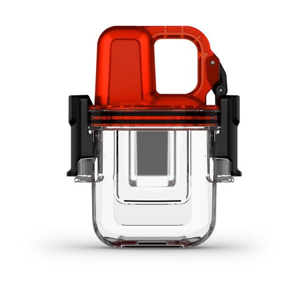
inReach® Mini Dive Case
$89.00 Add to cartOverview
water-resistant case to bring your inReach Mini satellite communicator on your dives and have peace-of-mind whenever you surface¹. Protects inReach Mini to a depth of 10 ATM (or 100 meters)." > -
QuickFit® 22 Watch Bands
$249.00 Add to cartLength of adjustment band is 132 mm. Length of buckle band is 96 mm. Include your watch case size when measuring for fit.
Overview
Premium watch straps — uniquely crafted to fit the personalities and interests of their owners. We navigated the world to collect the finest materials so we could create these accessories that attach with a click to compatible watches.
-
QuickFit® 22 Watch Bands
$69.00 Add to cartLength of adjustment band is 132 mm. Length of buckle band is 96 mm. Include your watch case size when measuring for fit.
Overview
Premium watch straps — uniquely crafted to fit the personalities and interests of their owners. We navigated the world to collect the finest materials so we could create these accessories that attach with a click to compatible watches.
-
QuickFit® 26 Watch Bands
$69.00 Add to cartLength of adjustment band is 124 mm. Length of buckle band is 95 mm. Include your watch case size when measuring for fit.
Overview
Just swap, click and go with 26 mm wide interchangable bands for your compatible watch. Choose leather, metal or silicone to change your watch's look and feel in a snap. It's easy to switch, and always secure. No tools required.
-
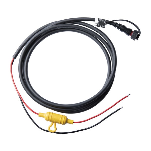
Power Cable
$55.00 Add to cartOverview
Power and connect your compatible GPSMAP® device with this 6-foot, 2-pin power/data cable.
-

Bail Mount with Knobs (GPSMAP® 8x10 and 9x10)
$59.00 Add to cartOverview
Surface mount your compatible GPSMAP chartplotter using our bail mount. The mount tilts for optimum viewing.
-
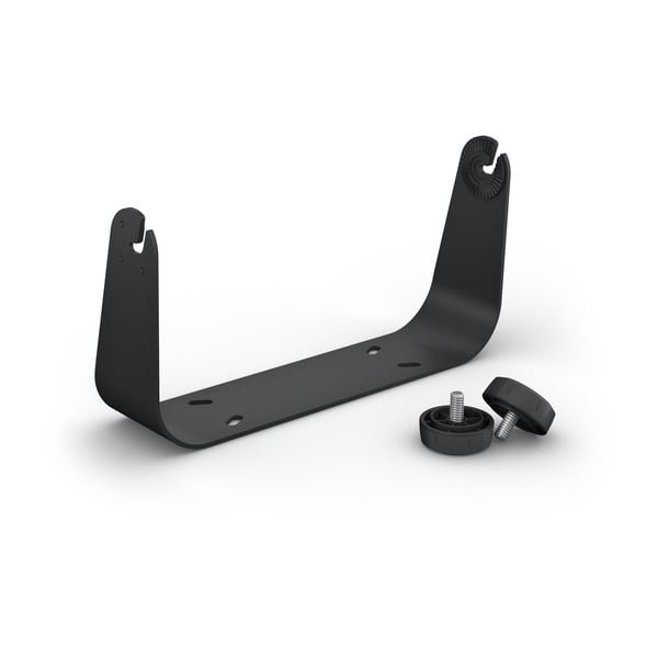
Bail Mount with Knobs
$59.00 Add to cartOverview
Surface mount your GPSMAP using our bail mount with knobs. The mount tilts for optimum viewing.
-
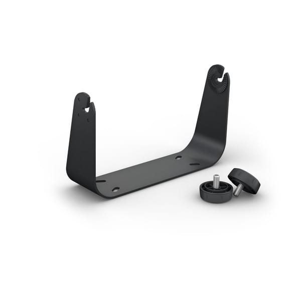
Bail Mount with Knobs
$89.00 Add to cartOverview
® handheld device using our bail mount with knobs. The mount tilts for optimum viewing." > -
10" Protective Cover
$29.00 Add to cartOverview
Keep your compatible GPSMAP device safe from the harsh marine environment, when not in use, with this plastic protective cover.
-
12" Protective Cover
$39.00 Add to cartOverview
Keep your compatible GPSMAP device safe from the harsh marine environment, when not in use, with this plastic protective cover.
-
16" Protective Cover
$49.01 Add to cartOverview
Keep your compatible GPSMAP device safe from the harsh marine environment, when not in use, with this plastic protective cover.
-
10" Protective Cover (Magnetic)
$119.00 Add to cartOverview
Keep your compatible GPSMAP device safe from the harsh marine environment, when not in use, with this magnetic protective cover.
-
12" Protective Cover (Magnetic)
$139.00 Add to cartOverview
Keep your compatible GPSMAP device safe from the harsh marine environment, when not in use, with this magnetic protective cover.
-
16" Protective Cover (Magnetic)
$175.00 Add to cartOverview
Keep your compatible GPSMAP device safe from the harsh marine environment, when not in use, with this magnetic protective cover.
-
Trim Piece Snap Cover
$17.00 Add to cartOverview
Don't let misplaced or broken trim blemish the beauty of your Garmin glass helm. Use this trim piece snap cover and mount your GPSMAP 8410 or 8610 to your glass helm.
-
Trim Piece Snap Cover
$17.00 Add to cartOverview
Don't let misplaced or broken trim blemish the beauty of your Garmin glass helm. Use this trim piece snap cover and mount your GPSMAP 8412 or 8612 to your glass helm.
-
Trim Piece Snap Cover
$17.00 Add to cartOverview
® handheld device to your glass helm." > -
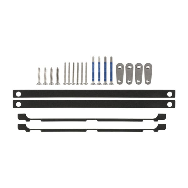
Flush Mount Kit
$55.00 Add to cartOverview
Easily position your compatible Garmin device against most flat surfaces in your boat with our flush mount kit.
-
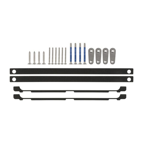
Flush Mount Kit
$55.00 Add to cartOverview
Easily position your compatible Garmin device against most flat surfaces in your boat with our flush mount kit.
-
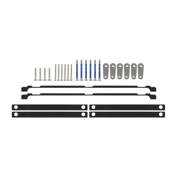
Flush Mount Kit
$55.00 Add to cartOverview
Easily position your compatible Garmin device against most flat surfaces in your boat with our flush mount kit.
-
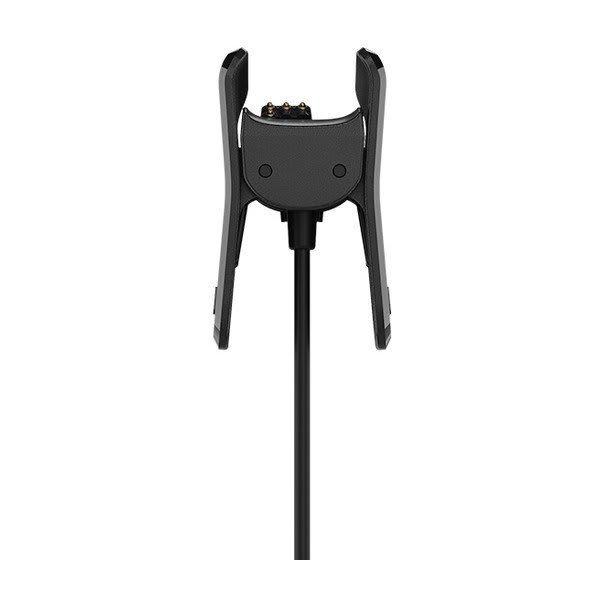
Charging Cable (vívosmart® 4)
$45.00 Add to cartOverview
Conveniently recharge your compatible activity tracker with this cable. Simply connect your device to the clip and use the USB cable to connect your Garmin product to your computer.
-
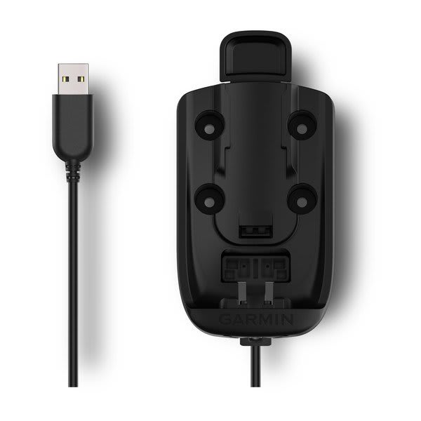
Powered Mount
$45.00 Add to cartOverview
Designed for one-handed, quick-release operation, this powered mount allows for easy grab-and-go accessibility with your compatible handheld satellite communicator. It uses the AMPS mounting pattern and includes an integrated cable with USB connection. Mounting kit not included.
-
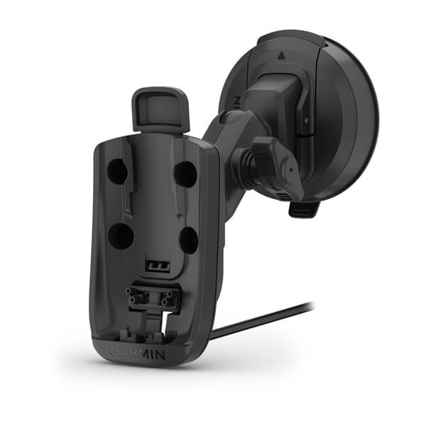
Powered Mount with Suction Cup
$149.00 Add to cartOverview
Designed for one-handed, quick-release operation, this powered mount with suction cup allows for easy grab-and-go accessibility with your compatible GPSMAP® series handheld satellite communicators. It uses the AMPS mounting pattern and includes an integrated cable with USB connection. Use the suction cup to secure your device to your windshield or any smooth, flat surface.
-

10" Trim Piece Snap Cover
$17.00 Add to cartOverview
Don't let misplaced or broken trim blemish the beauty of your chartplotter/sounder combo. Use this trim piece snap cover to mount your compatible ECHOMAP Ultra or ECHOMAP Ultra 2 chartplotter/sonar combo.
-
10" Flush Mount Kit
$29.00 Add to cartOverview
Looking for a sleeker installation of your compatible marine device? Our flush mount kit allows you to easily position your device against most flat surfaces in your boat. The kit includes hardware, installation instructions and a template.
-
microSD™ Card Door
$9.00 Add to cartOverview
Keep your compatible marine device at sea by securing and protecting your memory card with this microSD door.
-
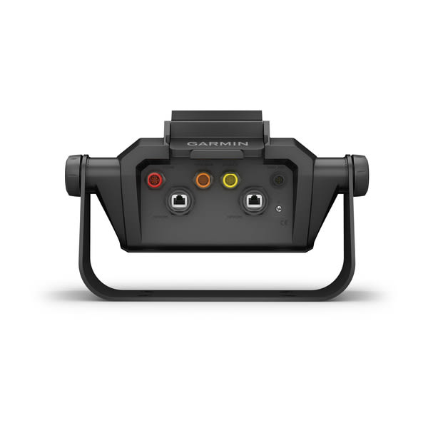
Bail Mount with Quick Release Cradle
$158.99 Add to cartOverview
Surface mount your compatible ECHOMAP™ Ultra chartplotter/sounder combo using our bail mount with knobs; the mount tilts for optimum viewing. Plugging the cables into the mount’s quick-release cradle allows you to seat/unseat your device with ease.
-
Protective Cover
$39.00 Add to cartOverview
Use our cover to protect your compatible ECHOMAP Ultra 12” device from the harsh marine environment when not in use.
-
12" Trim Piece Snap Cover
$19.00 Add to cartOverview
Don't let misplaced or broken trim blemish the beauty of your chartplotter/sounder combo. Use this trim piece snap cover to mount your compatible ECHOMAP Ultra or ECHOMAP Ultra 2 chartplotter/sonar combo.
-

12" Flush Mount Kit
$29.00 Add to cartOverview
Looking for a sleeker installation of your compatible marine device? Our flush mount kit allows you to easily position your device against most flat surfaces in your boat. The kit includes hardware, installation instructions and a template.
-
microSD™ Card Door
$9.00 Add to cartOverview
Keep your compatible marine device at sea by securing and protecting your memory card with this microSD door.
-
Instinct® Bands
$39.00 Add to cartOverview
Replace your band on Instinct watches with these stylish colors. Simply remove your current watch band and add a new band for a comfortable and enhanced fit. Bands, keepers and pins included. Individual colors sold separately.
-
Instinct® Bands
$39.00 Add to cartOverview
Replace your band on Instinct watches with these stylish colors. Simply remove your current watch band and add a new band for a comfortable and enhanced fit. Bands, keepers and pins included. Individual colors sold separately.
-
Instinct® Bands
$39.00 Add to cartOverview
Replace your band on Instinct watches with these stylish colors. Simply remove your current watch band and add a new band for a comfortable and enhanced fit. Bands, keepers and pins included. Individual colors sold separately.
-
Instinct® Bands
$39.00 Add to cartOverview
Replace your band on Instinct watches with these stylish colors. Simply remove your current watch band and add a new band for a comfortable and enhanced fit. Bands, keepers and pins included. Individual colors sold separately.
-
Instinct® Bands
$39.00 Add to cartOverview
Replace your band on Instinct watches with these stylish colors. Simply remove your current watch band and add a new band for a comfortable and enhanced fit. Bands, keepers and pins included. Individual colors sold separately.
-
Instinct® Bands
$39.00 Add to cartOverview
Replace your band on Instinct watches with these stylish colors. Simply remove your current watch band and add a new band for a comfortable and enhanced fit. Bands, keepers and pins included. Individual colors sold separately.
-
Instinct® Bands
$45.00 Add to cartOverview
Replace your band on Instinct watches with these stylish colors. Simply remove your current watch band and add a new band for a comfortable and enhanced fit. Bands, keepers and pins included. Individual colors sold separately.
-
Instinct® Bands
$45.00 Add to cartOverview
Replace your band on Instinct watches with these stylish colors. Simply remove your current watch band and add a new band for a comfortable and enhanced fit. Bands, keepers and pins included. Individual colors sold separately.
-
Instinct® Bands
$45.00 Add to cartOverview
Replace your band on Instinct watches with these stylish colors. Simply remove your current watch band and add a new band for a comfortable and enhanced fit. Bands, keepers and pins included. Individual colors sold separately.
-
Instinct® Bands
$45.00 Add to cartOverview
Replace your band on Instinct watches with these stylish colors. Simply remove your current watch band and add a new band for a comfortable and enhanced fit. Bands, keepers and pins included. Individual colors sold separately.
-
Instinct® Bands
$45.00 Add to cartOverview
Replace your band on Instinct watches with these stylish colors. Simply remove your current watch band and add a new band for a comfortable and enhanced fit. Bands, keepers and pins included. Individual colors sold separately.
-
Instinct® Bands
$45.00 Add to cartOverview
Replace your band on Instinct watches with these stylish colors. Simply remove your current watch band and add a new band for a comfortable and enhanced fit. Bands, keepers and pins included. Individual colors sold separately.
-
QuickFit® 22 Watch Bands
$79.00 Add to cartLength of adjustment band is 132 mm. Length of buckle band is 96 mm. Include your watch case size when measuring for fit.
Overview
Premium watch straps — uniquely crafted to fit the personalities and interests of their owners. We navigated the world to collect the finest materials so we could create these accessories that attach with a click to compatible watches.
-
QuickFit® 22 Watch Bands
$79.00 Add to cartLength of adjustment band is 132 mm. Length of buckle band is 96 mm. Include your watch case size when measuring for fit.
Overview
Premium watch straps — uniquely crafted to fit the personalities and interests of their owners. We navigated the world to collect the finest materials so we could create these accessories that attach with a click to compatible watches.
-

QuickFit® 22 Watch Bands
$79.00 Add to cartLength of adjustment band is 132 mm. Length of buckle band is 96 mm. Include your watch case size when measuring for fit.
Overview
Premium watch straps — uniquely crafted to fit the personalities and interests of their owners. We navigated the world to collect the finest materials so we could create these accessories that attach with a click to compatible watches.
-
QuickFit® 22 Watch Bands
$79.00 Add to cartLength of adjustment band is 132 mm. Length of buckle band is 96 mm. Include your watch case size when measuring for fit.
Overview
Premium watch straps — uniquely crafted to fit the personalities and interests of their owners. We navigated the world to collect the finest materials so we could create these accessories that attach with a click to compatible watches.
-
QuickFit® 22 Watch Bands
$249.00 Add to cartLength of adjustment band is 132 mm. Length of buckle band is 96 mm. Include your watch case size when measuring for fit.
Overview
Premium watch straps — uniquely crafted to fit the personalities and interests of their owners. We navigated the world to collect the finest materials so we could create these accessories that attach with a click to compatible watches.
-
QuickFit® 22 Watch Bands
$78.99 Add to cartLength of adjustment band is 132 mm. Length of buckle band is 96 mm. Include your watch case size when measuring for fit.
Overview
Premium watch straps — uniquely crafted to fit the personalities and interests of their owners. We navigated the world to collect the finest materials so we could create these accessories that attach with a click to compatible watches.
-
QuickFit® 26 Watch Bands
$79.00 Add to cartLength of adjustment band is 124 mm. Length of buckle band is 95 mm. Include your watch case size when measuring for fit.
Overview
Just swap, click and go with 26 mm wide interchangable bands for your compatible watch. Choose leather, metal or silicone to change your watch's look and feel in a snap. It's easy to switch, and always secure. No tools required.
-
QuickFit® 26 Watch Bands
$79.00 Add to cartLength of adjustment band is 124 mm. Length of buckle band is 95 mm. Include your watch case size when measuring for fit.
Overview
Just swap, click and go with 26 mm wide interchangable bands for your compatible watch. Choose leather, metal or silicone to change your watch's look and feel in a snap. It's easy to switch, and always secure. No tools required.
-
QuickFit® 26 Watch Bands
$79.00 Add to cartLength of adjustment band is 124 mm. Length of buckle band is 95 mm. Include your watch case size when measuring for fit.
Overview
Just swap, click and go with 26 mm wide interchangable bands for your compatible watch. Choose leather, metal or silicone to change your watch's look and feel in a snap. It's easy to switch, and always secure. No tools required.
-
QuickFit® 26 Watch Bands
$79.00 Add to cartLength of adjustment band is 124 mm. Length of buckle band is 95 mm. Include your watch case size when measuring for fit.
Overview
Just swap, click and go with 26 mm wide interchangable bands for your compatible watch. Choose leather, metal or silicone to change your watch's look and feel in a snap. It's easy to switch, and always secure. No tools required.
-
QuickFit® 26 Watch Bands
$249.00 Add to cartLength of adjustment band is 124 mm. Length of buckle band is 95 mm. Include your watch case size when measuring for fit.
Overview
Just swap, click and go with 26 mm wide interchangable bands for your compatible watch. Choose leather, metal or silicone to change your watch's look and feel in a snap. It's easy to switch, and always secure. No tools required.
-
QuickFit® 26 Watch Bands
$249.00 Add to cartLength of adjustment band is 124 mm. Length of buckle band is 95 mm. Include your watch case size when measuring for fit.
Overview
Just swap, click and go with 26 mm wide interchangable bands for your compatible watch. Choose leather, metal or silicone to change your watch's look and feel in a snap. It's easy to switch, and always secure. No tools required.
-
QuickFit® 26 Watch Bands
$249.00 Add to cartLength of adjustment band is 124 mm. Length of buckle band is 95 mm. Include your watch case size when measuring for fit.
Overview
Just swap, click and go with 26 mm wide interchangable bands for your compatible watch. Choose leather, metal or silicone to change your watch's look and feel in a snap. It's easy to switch, and always secure. No tools required.
-
QuickFit® 20 Watch Bands
$249.00 Add to cartLength of adjustment band is 110 mm. Length of buckle band is 84 mm. Include your watch case size when measuring for fit.
Overview
Just swap, click and go with interchangable 20 mm wide bands for your compatible watch. Choose leather, metal or silicone to change your watch's look and feel in a snap. It's easy to switch, and always secure. No tools required. See your product specs tab for wrist circumference information.
-
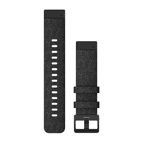
QuickFit® 20 Watch Bands
$249.00 Add to cartLength of adjustment band is 110 mm. Length of buckle band is 84 mm. Include your watch case size when measuring for fit.
Overview
Just swap, click and go with interchangable 20 mm wide bands for your compatible watch. Choose leather, metal or silicone to change your watch's look and feel in a snap. It's easy to switch, and always secure. No tools required. See your product specs tab for wrist circumference information.
-
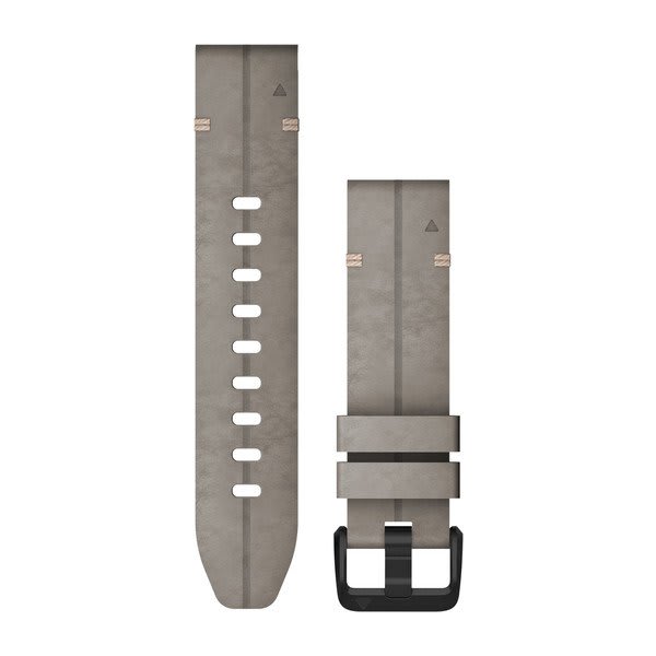
QuickFit® 20 Watch Bands
$249.00 Add to cartLength of adjustment band is 110 mm. Length of buckle band is 84 mm. Include your watch case size when measuring for fit.
Overview
Just swap, click and go with interchangable 20 mm wide bands for your compatible watch. Choose leather, metal or silicone to change your watch's look and feel in a snap. It's easy to switch, and always secure. No tools required. See your product specs tab for wrist circumference information.
-
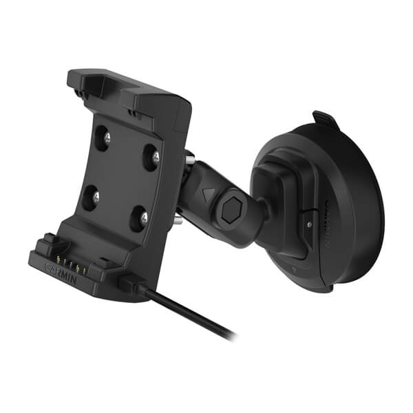
Suction Cup Mount with Speaker
$199.00 Add to cartOverview
1 and use your compatible device while navigating. Kit includes mount with an integrated speaker, dual USB power adapter and a suction cup for easy installation. Your device will charge when mounted. " > -
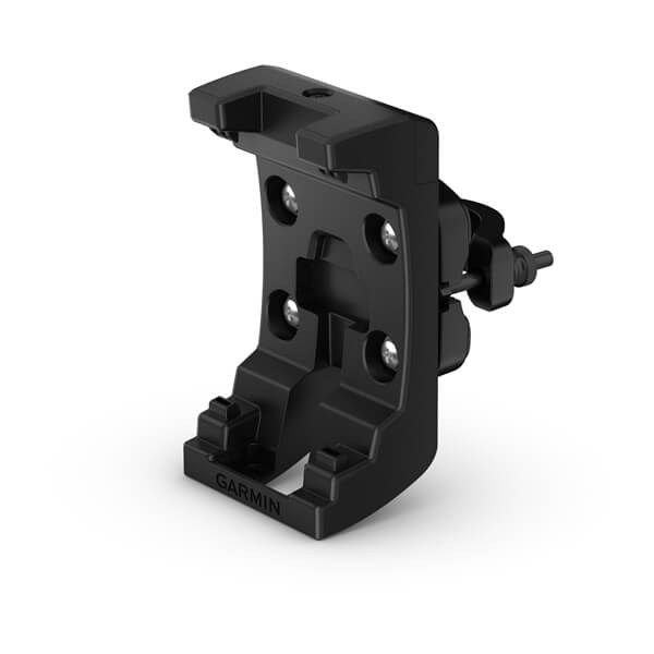
Bicycle Handlebar Mount
$80.00 Add to cartOverview
1 — into the 22 mm or 32 mm rugged mount and take it anywhere. Included mounts and hardware attach to any standard bicycle handlebar. " > -
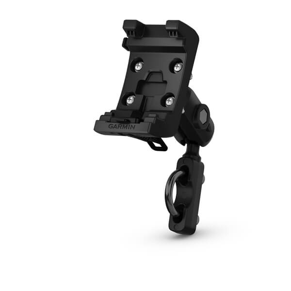
Motorcycle/ATV Mount Kit and AMPS Rugged Mount with Audio/Power Cable
$199.00 Add to cartOverview
1 to navigate while on your motorcycle or ATV. Kit includes mount, hardware, AMPS arm/ball socket and cable with bare power, audio and data wires. " > -
AA Battery Pack
$55.00 Add to cartOverview
1 when and where you need it. This spare battery pack requires 3 AA batteries (lithium batteries recommended; not included)." > -
External GPS/Iridium Antenna with Adapter Cable
$110.00 Add to cartOverview
Use our external passive antenna/extension cable when you want to install an external GPS/Iridium antenna. Can be used on the exteriors of vehicles or buildings as antenna is magnetic. Antenna cable is 1.5 meters (4.9 ft) long; dongle, or adapter cable, is about 0.2 meters (8 in).
-
External Antenna Adapter Cable
$30.00 Add to cartOverview
Use this adapter cable with your existing external passive antenna with an SMA connector.
-
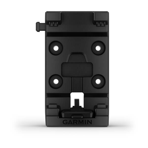
AMPS Rugged Mount with Audio/Power Cable
$149.00 Add to cartOverview
Mount your compatible device on your motorcycle or ATV. Kit includes mount, hardware and a cable with bare power, audio and data wires.
-

Suction Cup Mount with Speaker (USB-C)
$229.00 Add to cartOverview
1 and use your compatible device while navigating. Kit includes mount with an integrated speaker, a USB-C to USB-C data cable and a suction cup for easy installation. Your device will charge when mounted." description-size="large" description-align="center" theme="light" > -
High Capacity Lithium-ion Battery Pack
$179.00 Add to cartOverview
Use this as a replacement battery or spare for your compatible Garmin device.
-
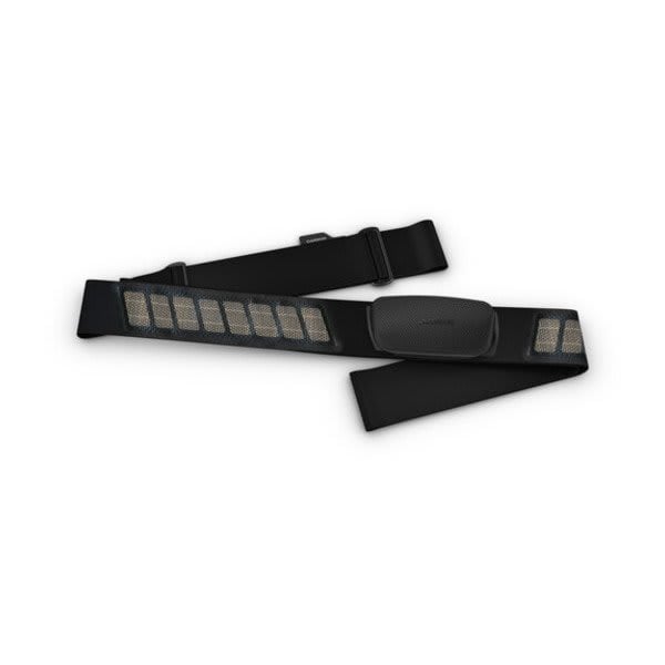
HRM-Dual
$99.00 Add to cartOverview
Compare heart rate monitors to find your perfect training companion.
See your stats, and track your goals in the Garmin Connect™ app.
-
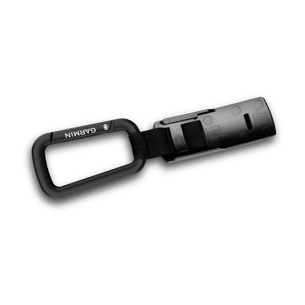
Carabiner Clip
$25.00 Add to cartOverview
Spine Mount Adapter is required when used with the inReach® Mini 2 device." description-size="large" description-align="center" theme="light" > -
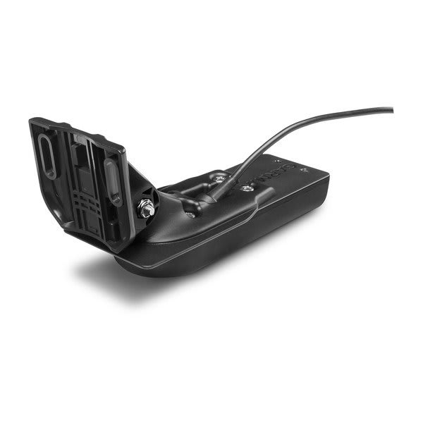
Garmin GT54UHD-TM
$599.01 Add to cartOverview
Perfect for the coastal and offshore fisherman who want CHIRP traditional sonar, CHIRP ClearVü and CHIRP SideVü scanning sonar with a stainless steel stem, this thru-hull mounted transducer consistently displays clear and crisp fish arches with superior target separation as well as clear pictures of objects, structure and fish that pass below and to each side of your boat and is optimized for rough sea conditions.
The CHIRP ClearVü/ SideVü elements have a power rating of 500 W per element and operating frequencies of 260/455 kHz. The traditional CHIRP sonar has a power rating of 600 W and operating frequencies of mid-band CHIRP 80-160 kHz. It includes a built-in fast-response temperature sensor. For hull deadrises less than 5 degrees.
GT51M-TH includes a 12-pin transducer with stainless steel stem, fairing block, isolation plate and bushings, mounting hardware and installation instructions. Follow the instructions carefully to avoid damaging your boat.
-
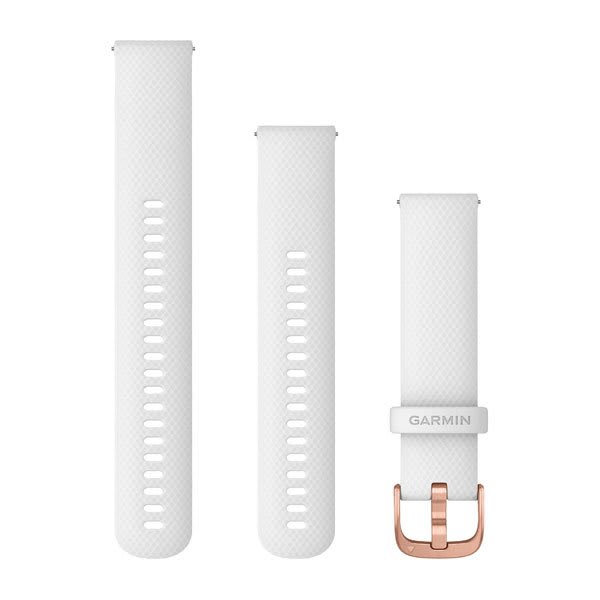
Quick Release Bands (20 mm)
$45.00 Add to cart<p>Fits wrists with a circumference of 125-212 mm</p>
Overview
Stay stylish and sport-ready with these adjustable, quick release bands for your compatible Garmin watch. Simply remove the bands with a slide of the bar, and pop on different bands for the ultimate personal accessory.
-
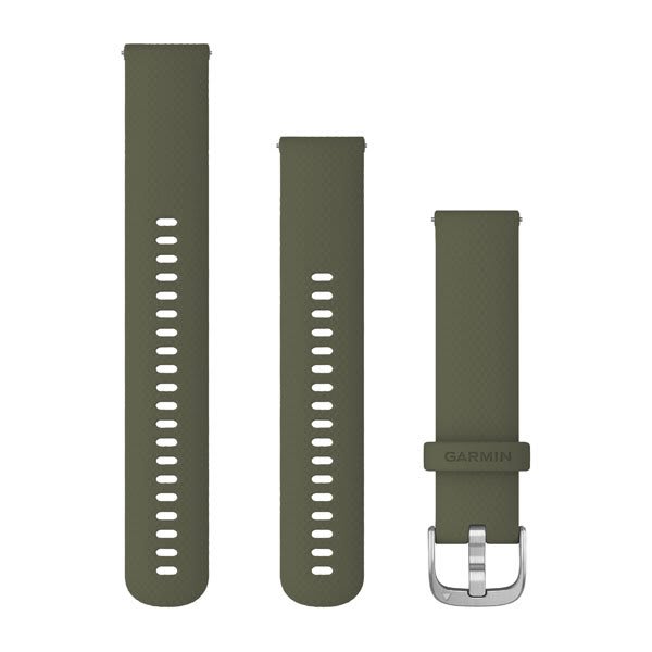
Quick Release Bands (20 mm)
$45.00 Add to cart<p>Fits wrists with a circumference of 125-212 mm</p>
Overview
Stay stylish and sport-ready with these adjustable, quick release bands for your compatible Garmin watch. Simply remove the bands with a slide of the bar, and pop on different bands for the ultimate personal accessory.
-
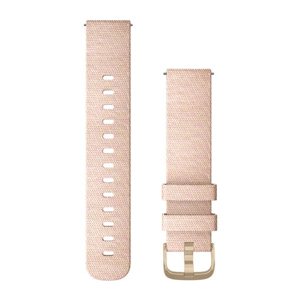
Quick Release Bands (20 mm)
$89.00 Add to cart<p>Fits wrists with a circumference of 125-212 mm</p>
Overview
Stay stylish and sport-ready with these adjustable, quick release bands for your compatible Garmin watch. Simply remove the bands with a slide of the bar, and pop on different bands for the ultimate personal accessory.
-
Quick Release Bands (20 mm)
$89.00 Add to cart<p>Fits wrists with a circumference of 125-212 mm</p>
Overview
Stay stylish and sport-ready with these adjustable, quick release bands for your compatible Garmin watch. Simply remove the bands with a slide of the bar, and pop on different bands for the ultimate personal accessory.
-
Quick Release Bands (20 mm)
$59.00 Add to cart<p>Fits wrists with a circumference of 125-212 mm</p>
Overview
Stay stylish and sport-ready with these adjustable, quick release bands for your compatible Garmin watch. Simply remove the bands with a slide of the bar, and pop on different bands for the ultimate personal accessory.
-
Quick Release Bands (20 mm)
$59.00 Add to cart<p>Fits wrists with a circumference of 125-212 mm</p>
Overview
Stay stylish and sport-ready with these adjustable, quick release bands for your compatible Garmin watch. Simply remove the bands with a slide of the bar, and pop on different bands for the ultimate personal accessory.
-

Quick Release Bands (20 mm)
$59.00 Add to cart<p>Fits wrists with a circumference of 125-212 mm</p>
Overview
Stay stylish and sport-ready with these adjustable, quick release bands for your compatible Garmin watch. Simply remove the bands with a slide of the bar, and pop on different bands for the ultimate personal accessory.
-
Quick Release Bands (20 mm)
$59.00 Add to cart<p>Fits wrists with a circumference of 125-212 mm</p>
Overview
Stay stylish and sport-ready with these adjustable, quick release bands for your compatible Garmin watch. Simply remove the bands with a slide of the bar, and pop on different bands for the ultimate personal accessory.
-

Lens Covers (XERO® X1i)
$29.00 Add to cartOverview
® X1i crossbow scope with these covers." > -
Wired Standard Length Range Finder Trigger (XERO® X1i)
$49.01 Add to cartOverview
® X1i’s laser range finder. Cable is approximately 17 inches (430 mm) long. " > -

Wired Extended Length Range Finder Trigger (XERO® X1i)
$49.01 Add to cartOverview
® X1i’s laser range finder. Cable includes 6 inches (155mm) of extra length to accommodate compact crossbow designs where the bolt firing mechanism is tucked into the stock. Length of cable is approximately 23 inches (585 mm)." > -
Quick Release Bands (18 mm)
$45.00 Add to cartOverview
Stay stylish and sport-ready with these adjustable, quick release bands for your compatible Garmin watch. Simply remove the bands with a slide of the bar, and pop on different bands for the ultimate personal accessory.
-
Quick Release Bands (18 mm)
$49.01 Add to cartOverview
Stay stylish and sport-ready with these adjustable, quick release bands for your compatible Garmin watch. Simply remove the bands with a slide of the bar, and pop on different bands for the ultimate personal accessory.
-
Quick Release Bands (18 mm)
$49.01 Add to cartOverview
Stay stylish and sport-ready with these adjustable, quick release bands for your compatible Garmin watch. Simply remove the bands with a slide of the bar, and pop on different bands for the ultimate personal accessory.
-
Quick Release Bands (18 mm)
$49.01 Add to cartOverview
Stay stylish and sport-ready with these adjustable, quick release bands for your compatible Garmin watch. Simply remove the bands with a slide of the bar, and pop on different bands for the ultimate personal accessory.
-

Quick Release Bands (18 mm)
$49.01 Add to cartOverview
Stay stylish and sport-ready with these adjustable, quick release bands for your compatible Garmin watch. Simply remove the bands with a slide of the bar, and pop on different bands for the ultimate personal accessory.
-
Quick Release Bands (20 mm)
$45.00 Add to cart<p>Fits wrists with a circumference of 125-212 mm</p>
Overview
Stay stylish and sport-ready with these adjustable, quick release bands for your compatible Garmin watch. Simply remove the bands with a slide of the bar, and pop on different bands for the ultimate personal accessory.
-
Quick Release Bands (20 mm)
$69.00 Add to cart<p>Fits wrists with a circumference of 125-212 mm</p>
Overview
Stay stylish and sport-ready with these adjustable, quick release bands for your compatible Garmin watch. Simply remove the bands with a slide of the bar, and pop on different bands for the ultimate personal accessory.
-
Quick Release Bands (20 mm)
$69.00 Add to cart<p>Fits wrists with a circumference of 125-212 mm</p>
Overview
Stay stylish and sport-ready with these adjustable, quick release bands for your compatible Garmin watch. Simply remove the bands with a slide of the bar, and pop on different bands for the ultimate personal accessory.
-
Quick Release Bands (20 mm)
$69.00 Add to cart<p>Fits wrists with a circumference of 125-212 mm</p>
Overview
Stay stylish and sport-ready with these adjustable, quick release bands for your compatible Garmin watch. Simply remove the bands with a slide of the bar, and pop on different bands for the ultimate personal accessory.
-
Quick Release Bands (20 mm)
$69.00 Add to cart<p>Fits wrists with a circumference of 125-212 mm</p>
Overview
Stay stylish and sport-ready with these adjustable, quick release bands for your compatible Garmin watch. Simply remove the bands with a slide of the bar, and pop on different bands for the ultimate personal accessory.
-
Quick Release Bands (20 mm)
$59.00 Add to cart<p>Fits wrists with a circumference of 125-212 mm</p>
Overview
Stay stylish and sport-ready with these adjustable, quick release bands for your compatible Garmin watch. Simply remove the bands with a slide of the bar, and pop on different bands for the ultimate personal accessory.
-
Quick Release Bands (18 mm)
$119.00 Add to cartOverview
Stay stylish and sport-ready with these adjustable, quick release bands for your compatible Garmin watch. Simply remove the bands with a slide of the bar, and pop on different bands for the ultimate personal accessory.
-
Quick Release Bands (22 mm)
$119.00 Add to cartOverview
Stay stylish and sport-ready with these adjustable, quick release bands for your compatible Garmin watch. Simply remove the bands with a slide of the bar, and pop on different bands for the ultimate personal accessory.
-
Quick Release Bands (20 mm)
$69.00 Add to cart<p>Fits wrists with a circumference of 125-212 mm</p>
Overview
Stay stylish and sport-ready with these adjustable, quick release bands for your compatible Garmin watch. Simply remove the bands with a slide of the bar, and pop on different bands for the ultimate personal accessory.
-
Quick Release Bands (20 mm)
$69.00 Add to cart<p>Fits wrists with a circumference of 125-212 mm</p>
Overview
Stay stylish and sport-ready with these adjustable, quick release bands for your compatible Garmin watch. Simply remove the bands with a slide of the bar, and pop on different bands for the ultimate personal accessory.
-
Quick Release Bands (20 mm)
$69.00 Add to cart<p>Fits wrists with a circumference of 125-212 mm</p>
Overview
Stay stylish and sport-ready with these adjustable, quick release bands for your compatible Garmin watch. Simply remove the bands with a slide of the bar, and pop on different bands for the ultimate personal accessory.
-
Quick Release Bands (20 mm)
$69.00 Add to cart<p>Fits wrists with a circumference of 125-212 mm</p>
Overview
Stay stylish and sport-ready with these adjustable, quick release bands for your compatible Garmin watch. Simply remove the bands with a slide of the bar, and pop on different bands for the ultimate personal accessory.
-
Cart Mount
$29.00 Add to cartOverview
compatible device securely to your cart1 or anywhere with square (1 to 1.25 inches (2.5 to 3.2 cm)) or circular (1.2 to 2 inches (3 to 5 cm)) tubing. The hook and loop strap allows for quick and easy setup and removal. A Spine Mount Adapter is required when used with the inReach® Mini 2 device." > -
Powered Mount (GPSMAP® 86)
$135.00 Add to cartOverview
Designed for one-handed, quick-release operation, this powered mount allows for easy grab-and-go accessibility with your compatible GPSMAP® 86 handheld. It uses the AMPS mounting pattern and includes an integrated cable with USB connection. Also includes 12 V flying-lead power cable and 1-inch ball and socket mount to mount at any angle and in the position of your choice.
-
Carrying Case
$39.00 Add to cartOverview
Travel in style with this sleek carrying case. It’s built to endure the elements, protecting your compatible sat nav for the long haul. This case is designed with a durable thermo-moulded exterior with a zipper-accessed padded interior.
-
8" RV Silicone Case
$65.00 Add to cartOverview
Protect your 8-inch compatible sat nav device with this form-fitting, removable silicone case.
-
microUSB 2A Charging Cable (Xero®)
$22.00 Add to cartOverview
Recharge your compatible device and transfer data to and from your computer after connecting this cable to your USB port. This cable also pairs with an optional AC adapter (sold separately).
-
Phone Mount (Approach® R10)
$59.00 Add to cartOverview
Easily clip this adjustable phone mount to your bag, belt or pocket. Fits most smartphone models (up to 90 mm wide).
-
Tripod (Approach® R10)
$45.00 Add to cartOverview
Approach® R10 portable launch monitor so it sits elevated above the hitting surface." > -
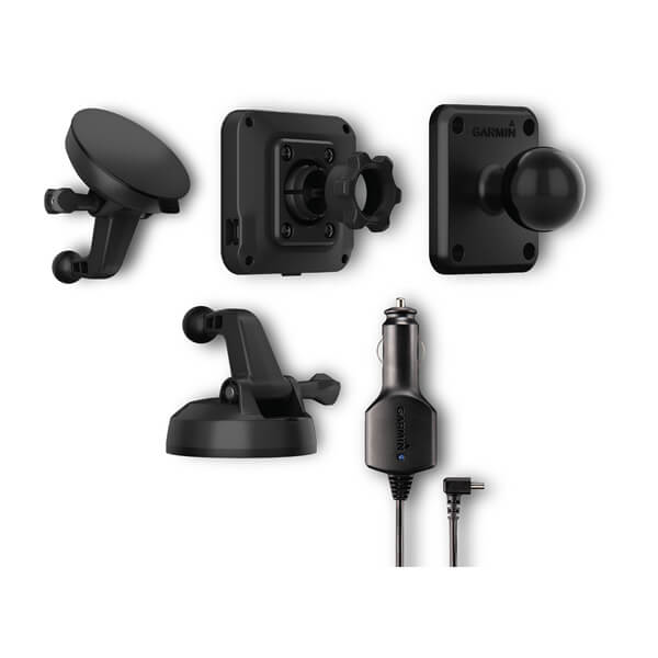
Mounting Hardware
$89.00 Add to cartOverview
Mount your compatible Garmin device while you navigate with this replacement mounting hardware. Includes a suction cup mount to mount your device to your windshield or a smooth surface, along with a screw-down mount to mount your device to your dash. Also includes a 1” ball adapter with AMPS plate compatible with RAM mounts and vehicle power charger.
-
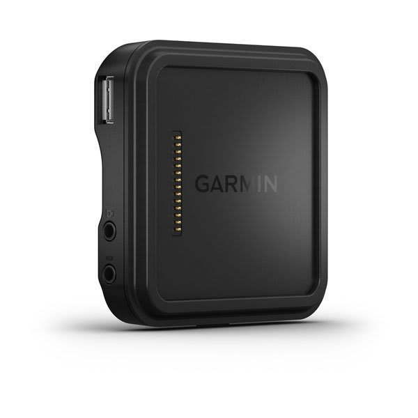
Powered Magnetic Mount
$89.00 Add to cartOverview
Use the powered magnetic mount to charge and attach your device to your windscreen with a compatible suction cup mount (sold separately) or mount your device to your dash with a compatible screw-down mount (sold separately). The integrated video-in port allows to connect third party backup cameras.
-
Powered Magnetic Mount
$89.00 Add to cartOverview
Use the powered magnetic mount to charge and attach your device to your windscreen with a compatible suction cup mount (sold separately) or mount your device to your dash with a compatible screw-down mount (sold separately). The integrated video-in port allows to connect third party backup cameras.
-
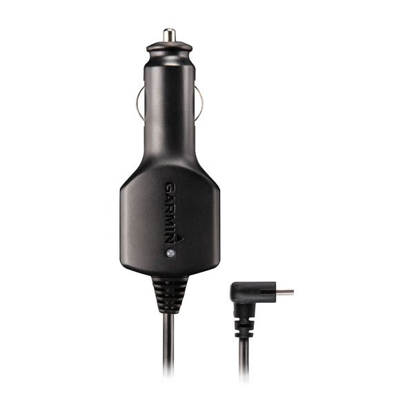
dēzl™ Vehicle Power Cable
$39.00 Add to cartOverview
Power up while on the go with this 12 V adapter. It’s your in-vehicle charger when you’re out on the open road.
-
Dashboard Disc
$19.00 Add to cartOverview
Mount your compatible device to the dashboard of any vehicle. This disc adheres to the dashboard, and your suction cup mount sticks to the disc.
-
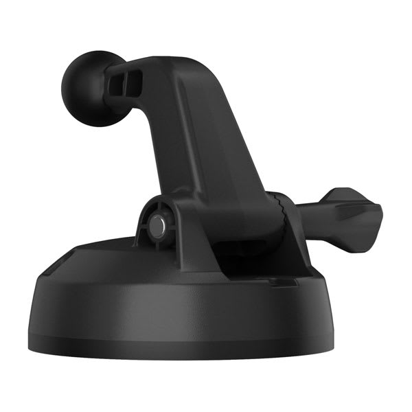
Screw Down Mount (8"/10" dezl/RV)
$49.02 Add to cartOverview
Access your compatible device for easier navigation in your vehicle. Simply screw the mount to your dash, and then attach your compatible device to the mount. This mount has a ball joint size of 0.86” (21.83 mm).
-
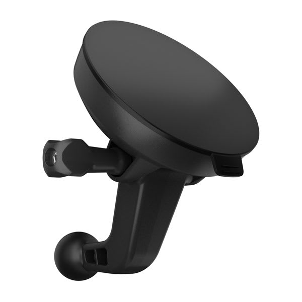
Suction Cup Mount (8", 10" dezl/RV)
$49.02 Add to cartOverview
Access your compatible device for easier navigation in your vehicle. Simply suction the mount to the windshield or any smooth, flat surface. This mount has a ball joint size of 0.86” (21.83 mm).
-
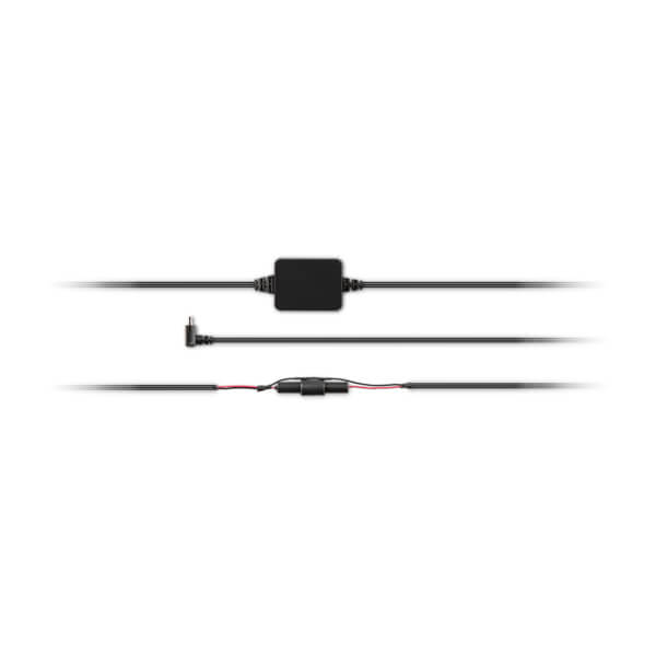
Bare Wire Power Cable (dēzl™ )
$99.00 Add to cartOverview
Power your compatible navigator by hardwiring your device to a black box or ignition with this bare wire cable.
-

Powered Magnetic Mount (dezl 8"10")
$139.00 Add to cartOverview
NOTE: Traffic data is not supported with this accessory." description-size="large" description-align="center" theme="light" > -
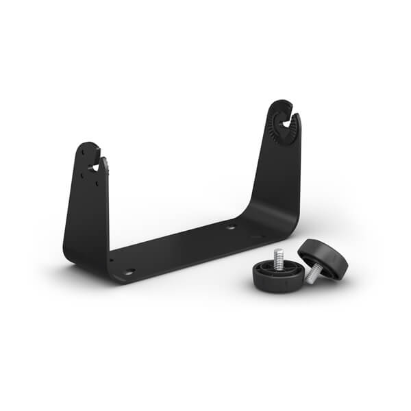
Bail Mount with Knobs (GPSMAP® 9x3 Series)
$55.00 Add to cartOverview
Surface mount your compatible GPSMAP device using our bail mount with knobs. The mount tilts for optimum viewing.
-
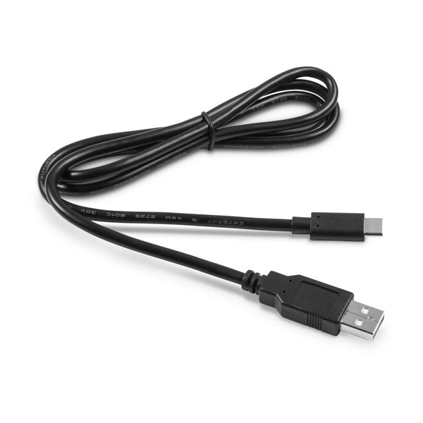
USB Cable Type A to Type C
$29.00 Add to cartOverview
Note: When an automotive product is connected to a computer via USB cable, your product may present a message stating "The attached cable cannot currently charge your device." This behaviour is normal. While the device does receive enough power from the computer to remain powered on and to operate, it does not receive enough power for the battery level to increase.
" description-size="large" description-align="center" theme="light" > -
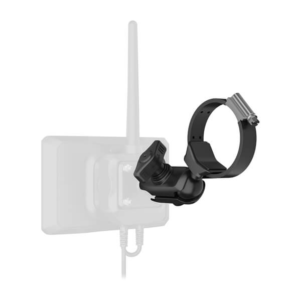
Tube Mount Kit
$90.00 Add to cartOverview
Use this adjustable tube mount and mounting arm to easily secure the Group Ride Tracker (sold separately).
-
VHF Antenna
$40.00 Add to cartOverview
This short antenna plugs into your compatible Group Ride Tracker.
-

Group Ride Radio (5.5”)
$279.00 Add to cartOverview
See VHF range info. zūmo® XT2 and zūmo® XT3 devices also require the Handlebar Controller and Group Ride Tracker Y-Adapter Kit. " description-size="large" description-align="center" theme="light" > -
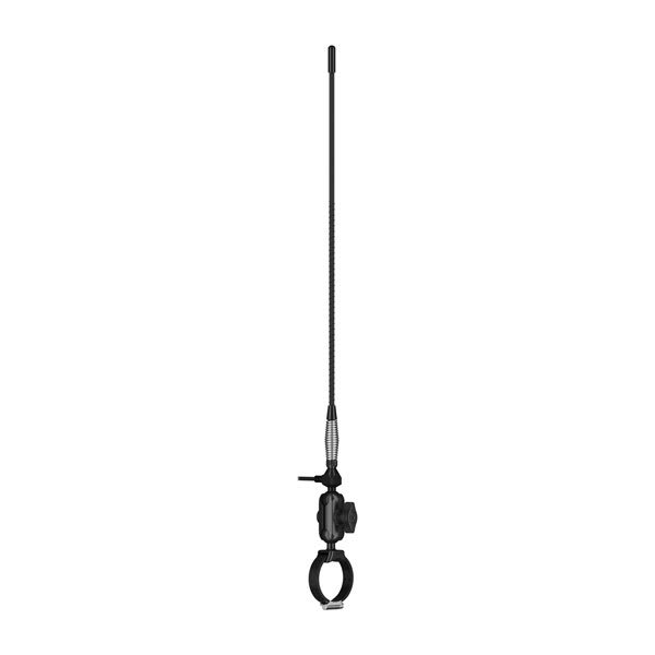
Long-range Antenna with Tube Mount Kit
$199.00 Add to cartOverview
See range info. Must be used with Group Ride Radio accessory, sold separately. The antenna is 21 inches (53.3 cm) tall. The cable is 11.5 ft (3.5 m) long." > -
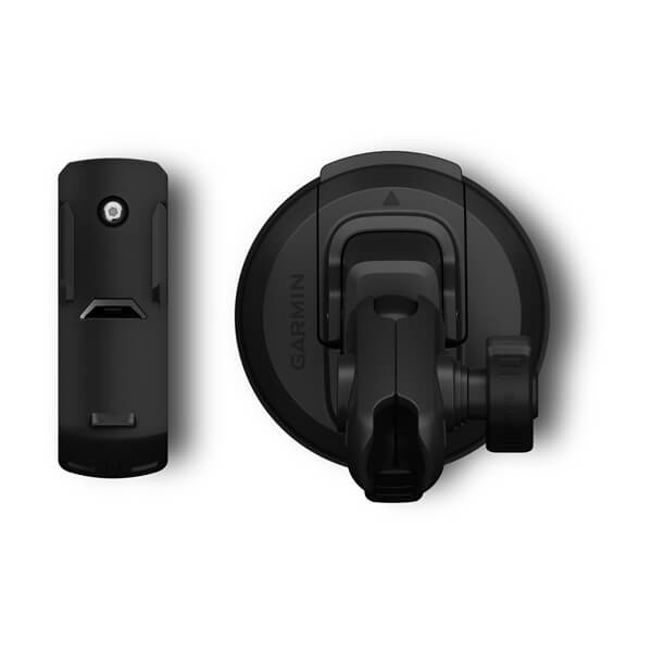
Car Mount (Alpha 10)
$85.00 Add to cartOverview
Secure your compatible device to your windshield or any smooth, flat surface with this suction cup mount. The mount is designed for one handed, quick-release operation to allow easy grab-and-go accessibility.
-
Spine Mount (Alpha 10)
$19.00 Add to cartOverview
Attach this spine mount to your compatible device and use on other spine mount accessories, including belt clips, car mounts and more.
-
QuickFit® 26 Watch Bands
$179.00 Add to cartLength of adjustment band is 124 mm. Length of buckle band is 95 mm. Include your watch case size when measuring for fit.
Overview
Just swap, click and go with 26 mm wide interchangable bands for your compatible watch. Choose leather, metal or silicone to change your watch's look and feel in a snap. It's easy to switch, and always secure. No tools required.
-
QuickFit® 26 Watch Bands
$139.00 Add to cartLength of adjustment band is 124 mm. Length of buckle band is 95 mm. Include your watch case size when measuring for fit.
Overview
Just swap, click and go with 26 mm wide interchangable bands for your compatible watch. Choose leather, metal or silicone to change your watch's look and feel in a snap. It's easy to switch, and always secure. No tools required.
-
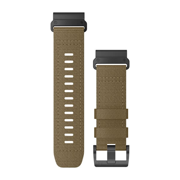
QuickFit® 26 Watch Bands
$139.00 Add to cartLength of adjustment band is 124 mm. Length of buckle band is 95 mm. Include your watch case size when measuring for fit.
Overview
Just swap, click and go with 26 mm wide interchangable bands for your compatible watch. Choose leather, metal or silicone to change your watch's look and feel in a snap. It's easy to switch, and always secure. No tools required.
-
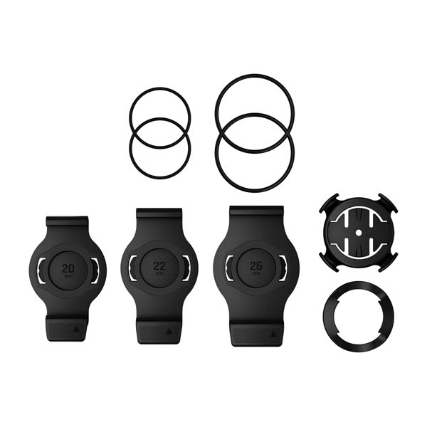
QuickFit™ Quarter-turn Bike Mount
$49.01 Add to cartOverview
Take your compatible multi-sport training device from wrist to bike in seconds. Kit is compatible with select devices; see devices tab.
-

Quick Release Bands (20 mm)
$49.01 Add to cart<p>Fits wrists with a circumference of 125-212 mm</p>
Overview
Stay stylish and sport-ready with these adjustable, quick release bands for your compatible Garmin watch. Simply remove the bands with a slide of the bar, and pop on different bands for the ultimate personal accessory.
-
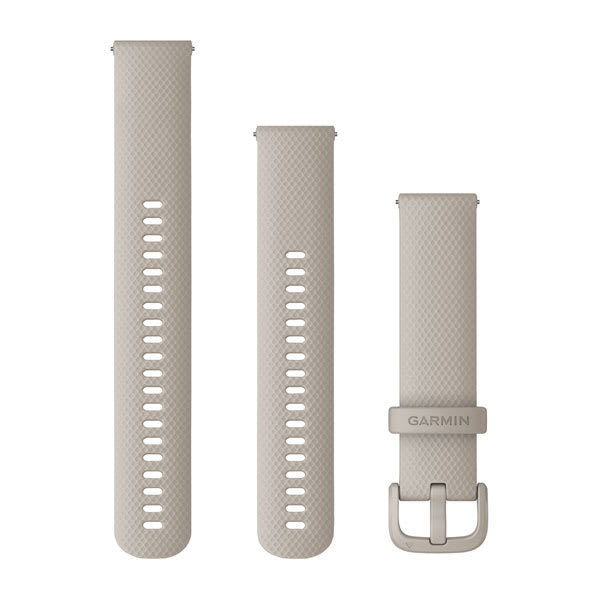
Quick Release Bands (20 mm)
$65.00 Add to cart<p>Fits wrists with a circumference of 125-212 mm</p>
Overview
Stay stylish and sport-ready with these adjustable, quick release bands for your compatible Garmin watch. Simply remove the bands with a slide of the bar, and pop on different bands for the ultimate personal accessory.
-
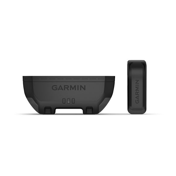
Extended Battery Pack (Alpha® T 20 and Alpha® TT 25 Dog Collars)
$169.00 Add to cartOverview
This extended battery pack is user-replaceable and allows up to 136 hours using dynamic update rate.
-
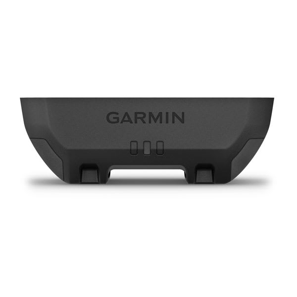
Standard Battery Pack (Alpha® T 20 and Alpha® TT 25 Dog Collars)
$139.00 Add to cartOverview
This standard battery pack is user-replaceable and allows up to 68 hours using dynamic update rate.
-
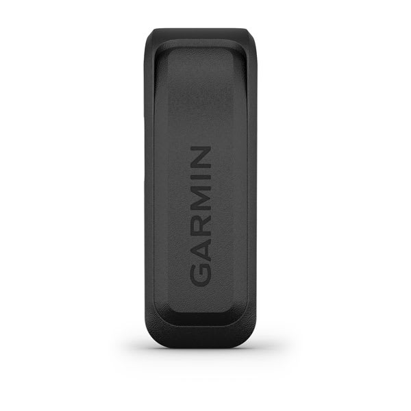
Charging Clip for Standard Battery Pack (Alpha® T 20 and Alpha® TT 25 Dog Collars)
$24.00 Add to cartOverview
Simply snap your compatible dog device to this charging clip when not in use to recharge your standard battery pack. Use the USB-C cable (sold separately) to plug into your computer or power adapter to recharge your battery pack. Use with standard battery pack only.
-
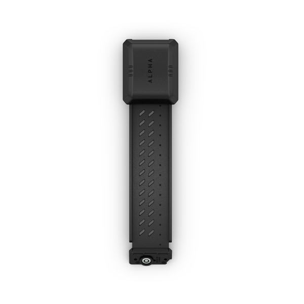
Flex Band (Alpha® TT 25 Dog Collar)
$85.00 Add to cartOverview
Easily change the user-replaceable flex band on your compatible Alpha® TT 25 dog collar.
-
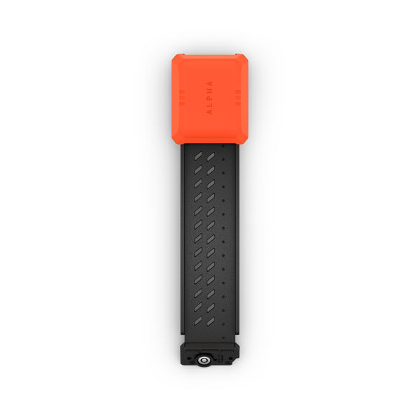
Flex Band (Alpha® T 20 Dog Collar)
$85.00 Add to cartOverview
Easily change the user-replaceable flex band on your compatible Alpha® T 20 dog collar.
-
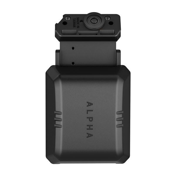
Zero Length Flex Band (Alpha® T 20 and Alpha® TT 25 Dog Collars)
$85.00 Add to cartOverview
Easily install this user-replaceable flex band on your compatible dog collar. This shorter length flex band is perfect for smaller dog breeds or if you prefer a more discreet flex band. Includes three antenna clips to keep your antenna safely secured to your dog collar.
-
Reinforced Flex Band (Alpha® T 20 and Alpha® TT 25 Dog Collars)
$139.00 Add to cartOverview
This user-replaceable reinforced flex band is easy to install on your compatible dog collar and is designed to better withstand the most intense hunting conditions.
-

Compact VHF Antenna (Alpha® T 20 and Alpha® TT 25 Dog Collars)
$49.01 Add to cartOverview
This compact, user-replaceable 37 cm VHF antenna is perfect for smaller dog breeds or if you prefer a shorter antenna for your compatible dog collar. The reduced VHF allows for only 3.2 kilometres of tracking range with a compatible handheld (sold separately). Includes three antenna clips to keep your antenna safely secured to your dog collar.
-
Extended Charging Clip
$24.00 Add to cartOverview
Simply snap your compatible dog device to this charging clip when not in use to recharge your extended or beeper battery pack. Use the USB-C cable (sold separately) to plug into your computer or power adapter to recharge your compatible battery pack.
-
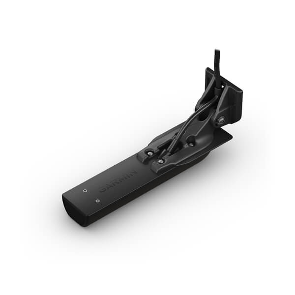
Garmin GT56UHD
$749.00 Add to cartOverview
Perfect for the coastal and offshore fisherman who want CHIRP traditional sonar, CHIRP ClearVü and CHIRP SideVü scanning sonar with a stainless steel stem, this thru-hull mounted transducer consistently displays clear and crisp fish arches with superior target separation as well as clear pictures of objects, structure and fish that pass below and to each side of your boat and is optimized for rough sea conditions.
The CHIRP ClearVü/ SideVü elements have a power rating of 500 W per element and operating frequencies of 260/455 kHz. The traditional CHIRP sonar has a power rating of 600 W and operating frequencies of mid-band CHIRP 80-160 kHz. It includes a built-in fast-response temperature sensor. For hull deadrises less than 5 degrees.
GT51M-TH includes a 12-pin transducer with stainless steel stem, fairing block, isolation plate and bushings, mounting hardware and installation instructions. Follow the instructions carefully to avoid damaging your boat.
-
Quick Release Bands (20 mm)
$45.00 Add to cart<p>Fits wrists with a circumference of 125-212 mm</p>
Overview
Stay stylish and sport-ready with these adjustable, quick release bands for your compatible Garmin watch. Simply remove the bands with a slide of the bar, and pop on different bands for the ultimate personal accessory.
-
Quick Release Bands (20 mm)
$45.00 Add to cart<p>Fits wrists with a circumference of 125-212 mm</p>
Overview
Stay stylish and sport-ready with these adjustable, quick release bands for your compatible Garmin watch. Simply remove the bands with a slide of the bar, and pop on different bands for the ultimate personal accessory.
-
Quick Release Bands (20 mm)
$45.00 Add to cart<p>Fits wrists with a circumference of 125-212 mm</p>
Overview
Stay stylish and sport-ready with these adjustable, quick release bands for your compatible Garmin watch. Simply remove the bands with a slide of the bar, and pop on different bands for the ultimate personal accessory.
-
Quick Release Bands (20 mm)
$45.00 Add to cart<p>Fits wrists with a circumference of 125-212 mm</p>
Overview
Stay stylish and sport-ready with these adjustable, quick release bands for your compatible Garmin watch. Simply remove the bands with a slide of the bar, and pop on different bands for the ultimate personal accessory.
-
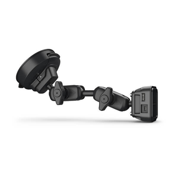
Vehicle Windshield Mounting Kit
$129.00 Add to cartOverview
Power your compatible device while navigating in your vehicle. The powered magnetic mount suctions to the windshield for easy viewing (power cable sold separately).
-

Screw Down Mounting Kit
$119.00 Add to cartOverview
Secure your compatible device with this 2-inch base mount that powers while you drive (power cable sold separately).
-
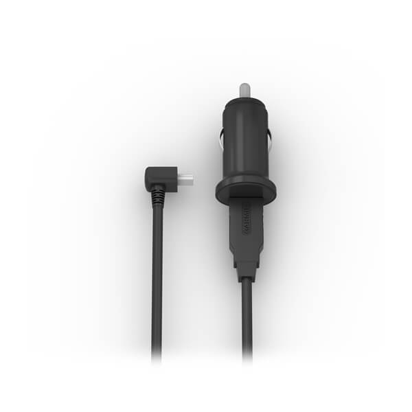
Socket Power Adapter
$29.00 Add to cartOverview
Power your compatible device with this 12V adapter.
-

Bare Wire Power Cable
$49.01 Add to cartOverview
Hardwire your compatible Garmin device with this bare wire cable. The cable powers your device and is compatible with 12V and 24V systems.
-
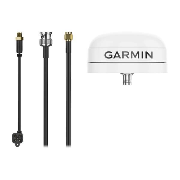
External GPS Antenna with Mount
$259.00 Add to cartOverview
This robust external antenna is packaged in a low-profile water-resistant housing. External GPS antenna provides increased flexibility and installation options as well as the potential for enhanced performance.
-
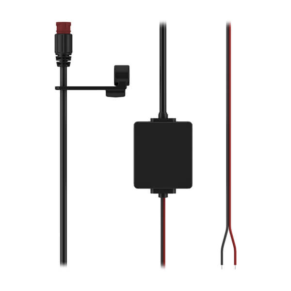
High-current Power Cable
$99.00 Add to cartOverview
Use this bare wire power cable with your compatible sat nav (see compatible devices tab). The cable has a 2-pin connector and is 3.5 m (11.5 ft) long.
-
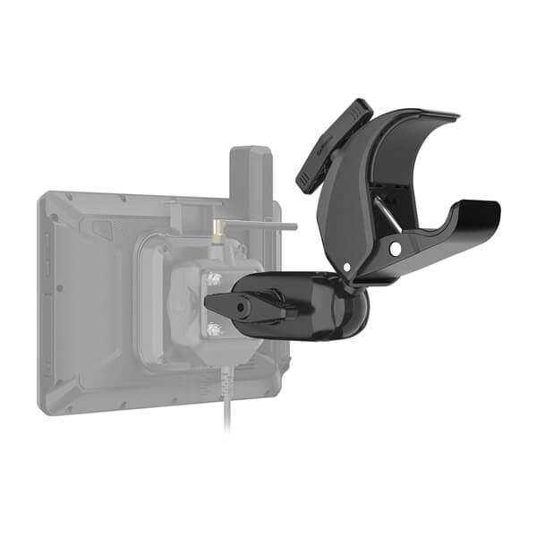
Tube Mount Kit
$139.00 Add to cartOverview
Use this adjustable tube mount and mounting arm to easily secure the Group Ride Tracker (sold separately).
-

Suction Cup Mount (8")
$49.01 Add to cartOverview
Attach your compatible device for easier navigation in your vehicle. Simply suction the 8″ mount to the windshield or any smooth, flat surface.
-
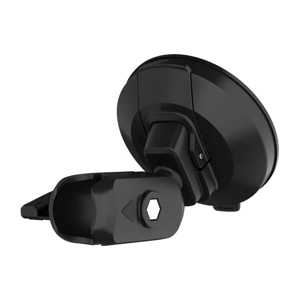
Suction Cup Mount (10")
$49.01 Add to cartOverview
Attach your compatible device for easier navigation in your vehicle. Simply suction the 10″ mount to the windshield or any smooth, flat surface.
-
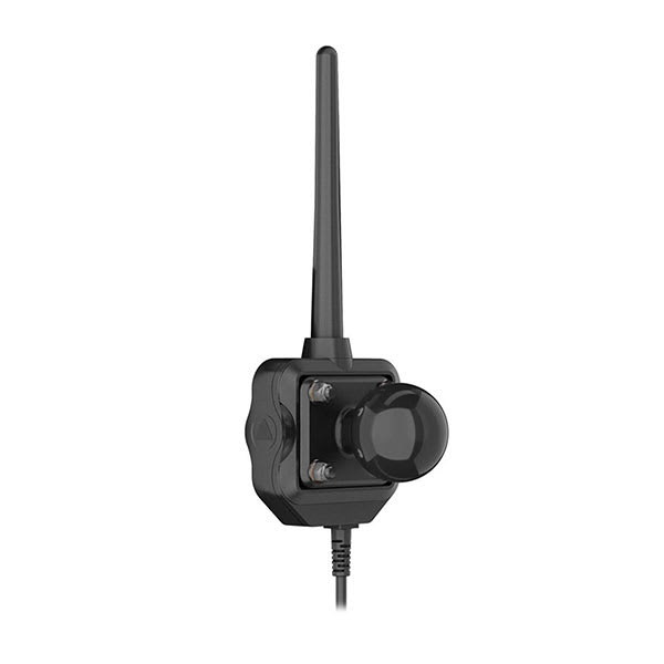
Group Ride Radio
$529.00 Add to cartOverview
See VHF range info. zūmo® XT2 and zūmo® XT3 devices also require the Handlebar Controller and Group Ride Tracker Y-Adapter Kit. " description-size="large" description-align="center" theme="light" > -

Locking Magnet-assisted Mount
$139.00 Add to cartOverview
Easily attach your compatible device for easier navigation in your vehicle.
-
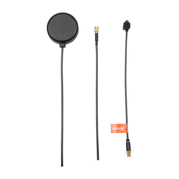
External inReach® Antenna
$219.00 Add to cartOverview
This robust external antenna is packaged in a low-profile water-resistant housing. External inReach antenna provides increased flexibility and installation options as well as the potential for enhanced performance.
-
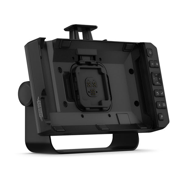
Tread® XL Dock
$779.00 Add to cartOverview
® XL Dock to panel mount your compatible Garmin device directly to the dashboard or the included bail mount. The dock includes push-buttons for zoom, pan and more." description-size="large" description-align="center" theme="light" > -
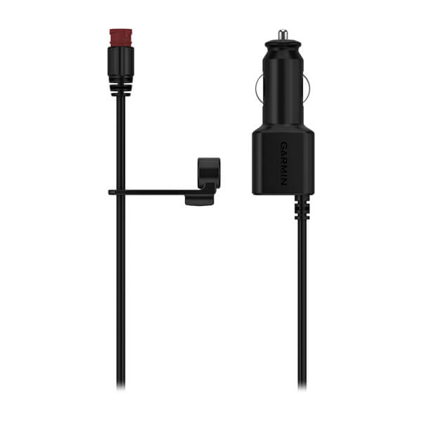
12 Volt Vehicle Power Cable
$49.01 Add to cartOverview
Power up while you’re on the go with this 12 volt adapter. It’s your in-vehicle charger when you’re off-road.
-
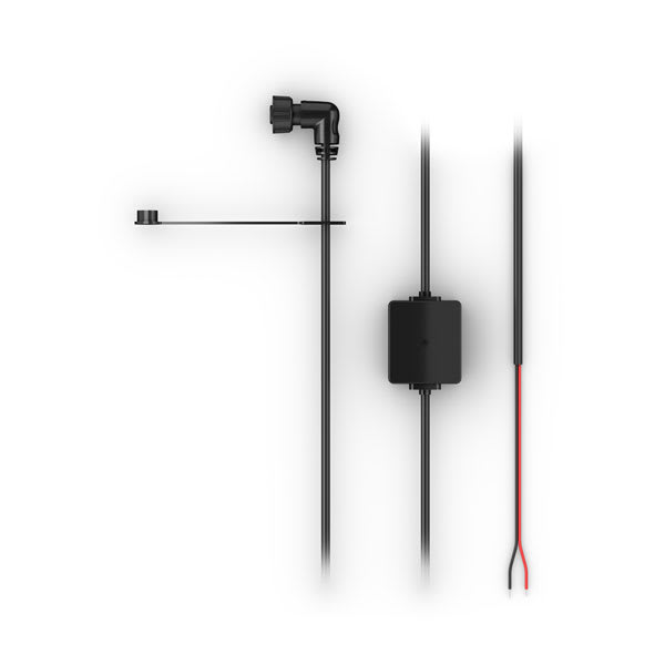
Tread® XL Dock Power Cable
$89.00 Add to cartOverview
Tread XL Dock and compatible Garmin device." description-size="large" description-align="center" theme="light" > -
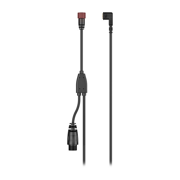
Handlebar Controller and Group Ride Radio Y-Adapter Cable (8/10" devices)
$69.00 Add to cartOverview
® device." description-size="large" description-align="center" theme="light" > -
City Navigator® Europe NTU
$139.00 Add to cartOverview
Navigate the streets with confidence. This product provides detailed road maps and points of interest for your device, so you can navigate with exact, turn-by-turn directions to any address or intersection.
- Displays more than half a million points of interest throughout the country, including restaurants, petrol/gasoline stations, lodging, attractions and railways.
- Gives turn-by-turn directions on compatible devices.
- Speaks street names (example: "Turn right on Main Street").
- Includes navigational features, such as turn restrictions, roundabout guidance and speed categories.
- Contains traffic data for compatible devices that use traffic receivers.
-

Carrying Case (Descent S1 Buoy)
$79.00 Add to cartOverview
A top handle and a zippered inside pocket make it easy to carry your compatible diving products. Grommets on the top and bottom drain water and help vent moisture from the nylon case.
-
QuickFit® 20 Watch Bands
$79.00 Add to cartLength of adjustment band is 110 mm. Length of buckle band is 84 mm. Include your watch case size when measuring for fit.
Overview
Just swap, click and go with interchangable 20 mm wide bands for your compatible watch. Choose leather, metal or silicone to change your watch's look and feel in a snap. It's easy to switch, and always secure. No tools required. See your product specs tab for wrist circumference information.
-
QuickFit® 20 Watch Bands
$79.00 Add to cartLength of adjustment band is 110 mm. Length of buckle band is 84 mm. Include your watch case size when measuring for fit.
Overview
Just swap, click and go with interchangable 20 mm wide bands for your compatible watch. Choose leather, metal or silicone to change your watch's look and feel in a snap. It's easy to switch, and always secure. No tools required. See your product specs tab for wrist circumference information.
-
QuickFit® 20 Watch Bands
$79.00 Add to cartLength of adjustment band is 110 mm. Length of buckle band is 84 mm. Include your watch case size when measuring for fit.
Overview
Just swap, click and go with interchangable 20 mm wide bands for your compatible watch. Choose leather, metal or silicone to change your watch's look and feel in a snap. It's easy to switch, and always secure. No tools required. See your product specs tab for wrist circumference information.
-
QuickFit® 20 Watch Bands
$79.00 Add to cartLength of adjustment band is 110 mm. Length of buckle band is 84 mm. Include your watch case size when measuring for fit.
Overview
Just swap, click and go with interchangable 20 mm wide bands for your compatible watch. Choose leather, metal or silicone to change your watch's look and feel in a snap. It's easy to switch, and always secure. No tools required. See your product specs tab for wrist circumference information.
-
QuickFit® 20 Watch Bands
$79.00 Add to cartLength of adjustment band is 110 mm. Length of buckle band is 84 mm. Include your watch case size when measuring for fit.
Overview
Just swap, click and go with interchangable 20 mm wide bands for your compatible watch. Choose leather, metal or silicone to change your watch's look and feel in a snap. It's easy to switch, and always secure. No tools required. See your product specs tab for wrist circumference information.
-
QuickFit® 20 Watch Bands
$79.00 Add to cartLength of adjustment band is 110 mm. Length of buckle band is 84 mm. Include your watch case size when measuring for fit.
Overview
Just swap, click and go with interchangable 20 mm wide bands for your compatible watch. Choose leather, metal or silicone to change your watch's look and feel in a snap. It's easy to switch, and always secure. No tools required. See your product specs tab for wrist circumference information.
-
QuickFit® 20 Watch Bands
$79.00 Add to cartLength of adjustment band is 110 mm. Length of buckle band is 84 mm. Include your watch case size when measuring for fit.
Overview
Just swap, click and go with interchangable 20 mm wide bands for your compatible watch. Choose leather, metal or silicone to change your watch's look and feel in a snap. It's easy to switch, and always secure. No tools required. See your product specs tab for wrist circumference information.
-
QuickFit® 20 Watch Bands
$79.00 Add to cartLength of adjustment band is 110 mm. Length of buckle band is 84 mm. Include your watch case size when measuring for fit.
Overview
Just swap, click and go with interchangable 20 mm wide bands for your compatible watch. Choose leather, metal or silicone to change your watch's look and feel in a snap. It's easy to switch, and always secure. No tools required. See your product specs tab for wrist circumference information.
-
8" Universal Carrying Case
$30.00 Add to cartOverview
Get durable all-around protection for your compatible device with this sleek carrying case. This zippered black case surrounds your device with foam and grey velvet, protecting it from scratches.
-
20 mm Watch Bands (Instinct 2S Series)
$45.00 Add to cartOverview
Replace your 20 mm band on compatible Instinct rugged GPS smartwatch with these stylish colours. Simply remove your current watch band and add a new band for a comfortable and enhanced fit. Bands, keepers and pins included. Individual colours sold separately.
-

20 mm Watch Bands (Instinct 2S Series)
$45.00 Add to cartOverview
Replace your 20 mm band on compatible Instinct rugged GPS smartwatch with these stylish colours. Simply remove your current watch band and add a new band for a comfortable and enhanced fit. Bands, keepers and pins included. Individual colours sold separately.
-
20 mm Watch Bands (Instinct 2S Series)
$45.00 Add to cartOverview
Replace your 20 mm band on compatible Instinct rugged GPS smartwatch with these stylish colours. Simply remove your current watch band and add a new band for a comfortable and enhanced fit. Bands, keepers and pins included. Individual colours sold separately.
-
20 mm Watch Bands (Instinct 2S Series)
$85.00 Add to cartOverview
Replace your 20 mm band on compatible Instinct rugged GPS smartwatch with these stylish colours. Simply remove your current watch band and add a new band for a comfortable and enhanced fit. Bands, keepers and pins included. Individual colours sold separately.
-

20 mm Watch Bands (Instinct 2S Series)
$45.00 Add to cartOverview
Replace your 20 mm band on compatible Instinct rugged GPS smartwatch with these stylish colours. Simply remove your current watch band and add a new band for a comfortable and enhanced fit. Bands, keepers and pins included. Individual colours sold separately.
-
20 mm Watch Bands (Instinct 2S Series)
$45.00 Add to cartOverview
Replace your 20 mm band on compatible Instinct rugged GPS smartwatch with these stylish colours. Simply remove your current watch band and add a new band for a comfortable and enhanced fit. Bands, keepers and pins included. Individual colours sold separately.
-
20 mm Watch Bands (Instinct 2S Series)
$45.00 Add to cartOverview
Replace your 20 mm band on compatible Instinct rugged GPS smartwatch with these stylish colours. Simply remove your current watch band and add a new band for a comfortable and enhanced fit. Bands, keepers and pins included. Individual colours sold separately.
-
20 mm Watch Bands (Instinct 2S Series)
$45.00 Add to cartOverview
Replace your 20 mm band on compatible Instinct rugged GPS smartwatch with these stylish colours. Simply remove your current watch band and add a new band for a comfortable and enhanced fit. Bands, keepers and pins included. Individual colours sold separately.
-
22 mm Watch Bands (Instinct 2)
$69.00 Add to cartOverview
Replace your 22 mm band on compatible Instinct rugged GPS smartwatches with these stylish colours. Simply remove your current watch band and add a new band for a comfortable and enhanced fit. Bands, keepers and pins included. Individual colours sold separately.
-
22 mm Watch Bands (Instinct 2)
$69.00 Add to cartOverview
Replace your 22 mm band on compatible Instinct rugged GPS smartwatches with these stylish colours. Simply remove your current watch band and add a new band for a comfortable and enhanced fit. Bands, keepers and pins included. Individual colours sold separately.
-
22 mm Watch Bands (Instinct 2)
$69.00 Add to cartOverview
Replace your 22 mm band on compatible Instinct rugged GPS smartwatches with these stylish colours. Simply remove your current watch band and add a new band for a comfortable and enhanced fit. Bands, keepers and pins included. Individual colours sold separately.
-
22 mm Watch Bands (Instinct 2)
$109.00 Add to cartOverview
Replace your 22 mm band on compatible Instinct rugged GPS smartwatches with these stylish colours. Simply remove your current watch band and add a new band for a comfortable and enhanced fit. Bands, keepers and pins included. Individual colours sold separately.
-
22 mm Watch Bands (Instinct 2)
$69.00 Add to cartOverview
Replace your 22 mm band on compatible Instinct rugged GPS smartwatches with these stylish colours. Simply remove your current watch band and add a new band for a comfortable and enhanced fit. Bands, keepers and pins included. Individual colours sold separately.
-
22 mm Watch Bands (Instinct 2)
$69.00 Add to cartOverview
Replace your 22 mm band on compatible Instinct rugged GPS smartwatches with these stylish colours. Simply remove your current watch band and add a new band for a comfortable and enhanced fit. Bands, keepers and pins included. Individual colours sold separately.
-
22 mm Watch Bands (Instinct 2)
$69.00 Add to cartOverview
Replace your 22 mm band on compatible Instinct rugged GPS smartwatches with these stylish colours. Simply remove your current watch band and add a new band for a comfortable and enhanced fit. Bands, keepers and pins included. Individual colours sold separately.
-
22 mm Watch Bands (Instinct 2)
$69.00 Add to cartOverview
Replace your 22 mm band on compatible Instinct rugged GPS smartwatches with these stylish colours. Simply remove your current watch band and add a new band for a comfortable and enhanced fit. Bands, keepers and pins included. Individual colours sold separately.
-
QuickFit® 22 Watch Bands
$79.00 Add to cartLength of adjustment band is 132 mm. Length of buckle band is 96 mm. Include your watch case size when measuring for fit.
Overview
Premium watch straps — uniquely crafted to fit the personalities and interests of their owners. We navigated the world to collect the finest materials so we could create these accessories that attach with a click to compatible watches.
-
QuickFit® 22 Watch Bands
$79.00 Add to cartLength of adjustment band is 132 mm. Length of buckle band is 96 mm. Include your watch case size when measuring for fit.
Overview
Premium watch straps — uniquely crafted to fit the personalities and interests of their owners. We navigated the world to collect the finest materials so we could create these accessories that attach with a click to compatible watches.
-
QuickFit® 22 Watch Bands
$79.00 Add to cartLength of adjustment band is 132 mm. Length of buckle band is 96 mm. Include your watch case size when measuring for fit.
Overview
Premium watch straps — uniquely crafted to fit the personalities and interests of their owners. We navigated the world to collect the finest materials so we could create these accessories that attach with a click to compatible watches.
-
Quick Release Bands (20 mm)
$45.00 Add to cart<p>Fits wrists with a circumference of 125-212 mm</p>
Overview
Stay stylish and sport-ready with these adjustable, quick release bands for your compatible Garmin watch. Simply remove the bands with a slide of the bar, and pop on different bands for the ultimate personal accessory.
-
Quick Release Bands (20 mm)
$45.00 Add to cart<p>Fits wrists with a circumference of 125-212 mm</p>
Overview
Stay stylish and sport-ready with these adjustable, quick release bands for your compatible Garmin watch. Simply remove the bands with a slide of the bar, and pop on different bands for the ultimate personal accessory.
-
Bail Mount With Quick Release Cradle, ECHOMAP™ UHD2 6sv
$209.00 Add to cartOverview
Surface mount your compatible ECHOMAP UHD2 chartplotter by using our bail mount with knobs; the mount tilts for optimum viewing. Plugging the cables into the mount’s quick-release cradle allows you to quickly seat/unseat your device with ease.
-
Bail Mount With Quick Release Cradle, ECHOMAP™ UHD2 7sv
$219.00 Add to cartOverview
Surface mount your compatible ECHOMAP UHD2 chartplotter by using our bail mount with knobs; the mount tilts for optimum viewing. Plugging the cables into the mount’s quick-release cradle allows you to quickly seat/unseat your device with ease.
-
Bail Mount With Quick Release Cradle, ECHOMAP™ UHD2 9sv
$229.00 Add to cartOverview
Surface mount your compatible ECHOMAP UHD2 chartplotter by using our bail mount with knobs; the mount tilts for optimum viewing. Plugging the cables into the mount’s quick-release cradle allows you to quickly seat/unseat your device with ease.
-
ECHOMAP™ UHD2 5cv Protective Cover
$39.00 Add to cartOverview
Use our cover to protect your compatible ECHOMAP™ UHD2 from the harsh marine environment when not in use.
-
ECHOMAP™ UHD2 7cv Protective Cover
$39.00 Add to cartOverview
Use our cover to protect your compatible ECHOMAP™ UHD2 from the harsh marine environment when not in use.
-
ECHOMAP™ UHD2 6sv Protective Cover
$39.00 Add to cartOverview
Protect your compatible marine device from the sun and scratches when not in use. This protective cover fits snugly over the display to avoid exposure.
-
ECHOMAP™ UHD2 7sv Protective Cover
$39.00 Add to cartOverview
Protect your compatible marine device from the sun and scratches when not in use. This protective cover fits snugly over the display to avoid exposure.
-
ECHOMAP™ UHD2 9sv Protective Cover
$39.00 Add to cartOverview
Protect your compatible marine device from the sun and scratches when not in use. This protective cover fits snugly over the display to avoid exposure.
-
QuickFit® 26 Watch Bands
$79.00 Add to cartLength of adjustment band is 124 mm. Length of buckle band is 95 mm. Include your watch case size when measuring for fit.
Overview
Just swap, click and go with 26 mm wide interchangable bands for your compatible watch. Choose leather, metal or silicone to change your watch's look and feel in a snap. It's easy to switch, and always secure. No tools required.
-
QuickFit® 26 Watch Bands
$79.00 Add to cartLength of adjustment band is 124 mm. Length of buckle band is 95 mm. Include your watch case size when measuring for fit.
Overview
Just swap, click and go with 26 mm wide interchangable bands for your compatible watch. Choose leather, metal or silicone to change your watch's look and feel in a snap. It's easy to switch, and always secure. No tools required.
-
QuickFit® 26 Watch Bands
$79.00 Add to cartLength of adjustment band is 124 mm. Length of buckle band is 95 mm. Include your watch case size when measuring for fit.
Overview
Just swap, click and go with 26 mm wide interchangable bands for your compatible watch. Choose leather, metal or silicone to change your watch's look and feel in a snap. It's easy to switch, and always secure. No tools required.
-
Extension Cable
$109.00 Add to cartOverview
Extend the range of your compatible BC™ wireless backup camera with this 50-foot (15 meters) cable. The cable connects the camera to the wireless transmitter in longer vehicles and trailers.
-

Mounting Hardware (BC™ 50)
$14.00 Add to cartOverview
Attach a BC™ 50 to your vehicle with this mounting hardware.
-

Mounting Hardware (BC™ 50 with Night Vision)
$24.00 Add to cartOverview
Attach a BC™ 50 with night vision to your vehicle with this mounting hardware.
-
Protective Cover
$35.00 Add to cartOverview
Our protective cover fits your compatible STRIKER™, helping to keep it safe from the harsh marine environment when not in use.
-
Protective Cover
$35.00 Add to cartOverview
Use our cover to protect your compatible 9" STRIKER device from the harsh marine environment when not in use.
-
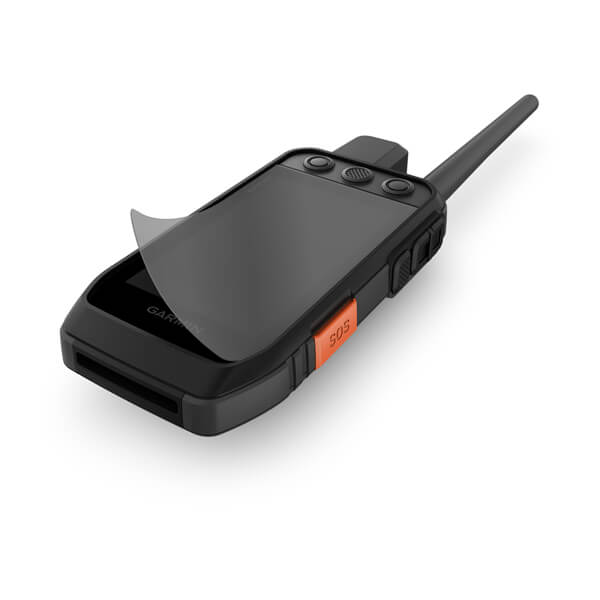
Anti-glare Screen Protector, Alpha 200i
$13.00 Add to cartOverview
This screen protector reduces sunlight glare, minimizes fingerprint smudges and protects against scratches on your compatible dog training handheld. Includes 1 per package.
-
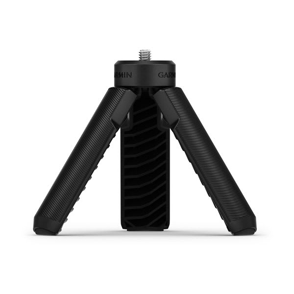
Tripod (Xero® Chronograph)
$45.00 Add to cartOverview
This 1/4-20 thread tripod mount holds your compatible chronograph in place so you can get accurate speed data while bench or prone shooting.
-

Protective Cover (Xero® Chronograph)
$54.00 Add to cartOverview
This close-fitting, removable silicone cover protects the display on your compatible chronograph.
-
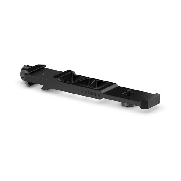
Rifle Mount (Xero® C2 Chronograph)
$329.00 Add to cartOverview
® C2 chronograph to this rugged mount when using your rifle. Device not included." description-size="large" description-align="center" theme="light" > -

Domed Plastic Contact Points Kit
$39.00 Add to cartOverview
The user-replaceable dome shaped contacts provide a comfortable fit for your dog. The kit includes long and short plastic contact points for different coat lengths and a wrench for easy installation.
-
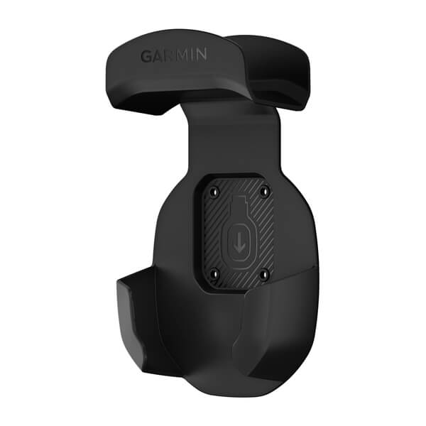
Storage Hook
$29.00 Add to cartOverview
Use this storage hook to hang up a compatible dēzl™ headset (sold separately) inside your truck cab.
-

TopoActive Maps
$95.00 Add to cartOverview
THE WORLD AWAITS
Navigate your adventure with this multiuse map, optimised for outdoor activities and compiled from the community-generated OpenStreetMap™ database.
INCLUDES ROADS AND TRAILS, NATURAL FEATURES, PARKS, AND MORE
DISPLAYS THOUSANDS OF POINTS OF INTEREST
MAPS FOR HIKING, CYCLING AND OTHER OUTDOOR ACTIVITIES
MAP FEATURES
View summits, national and local parks, coastlines, lakes and rivers, natural features, and more.
POINTS OF INTEREST
Looking for something? Get thousands of points of interest, including geographic labels, cycling essentials, shops, restaurants and bars, community features, and accommodations.
FIND YOUR WAY
-
USB Cable Type A to Type C
$25.00 Add to cartOverview
Note: When an automotive product is connected to a computer via USB cable, your product may present a message stating "The attached cable cannot currently charge your device." This behaviour is normal. While the device does receive enough power from the computer to remain powered on and to operate, it does not receive enough power for the battery level to increase.
" description-size="large" description-align="center" theme="light" > -
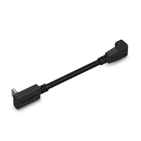
Mini USB to USB-C Adapter
$25.00 Add to cartOverview
Use this adapter to connect your compatible Garmin device to your existing mini USB power cable.
-
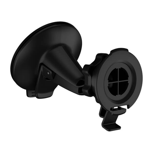
Large Suction Cup Mount
$45.00 Add to cartOverview
Attach your compatible device for easier navigation in your vehicle. Simply suction the mount to the windshield or any smooth, flat surface.
-
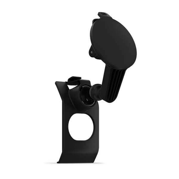
Suction Cup with Mount
$69.00 Add to cartOverview
Access your compatible device for easier navigation in your vehicle. Simply suction the mount to the windshield
-
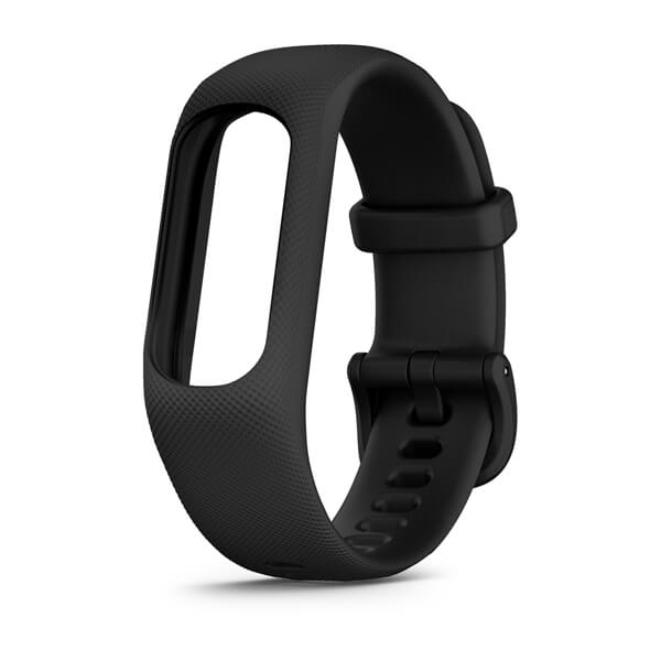
vívosmart® 5 Bands
$49.01 Add to cartFits wrists with a circumference of 148-228 mm
Overview
® 5 Bands for a new color on compatible models. Simply remove your current vívosmart® 5 from your existing band and place it into your new one. No removal tools needed. Individual colors sold separately." description-size="large" description-align="center" theme="light" > -
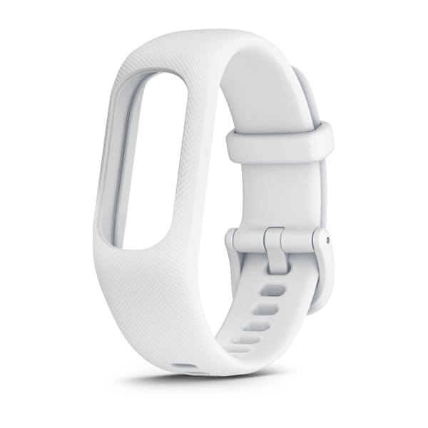
vívosmart® 5 Bands
$49.01 Add to cartFits wrists with a circumference of 148-228 mm
Overview
® 5 Bands for a new color on compatible models. Simply remove your current vívosmart® 5 from your existing band and place it into your new one. No removal tools needed. Individual colors sold separately." description-size="large" description-align="center" theme="light" > -
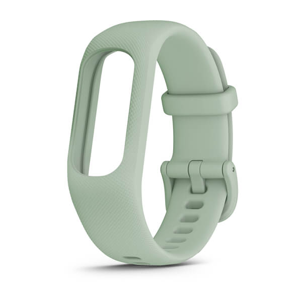
vívosmart® 5 Bands
$49.01 Add to cartFits wrists with a circumference of 148-228 mm
Overview
® 5 Bands for a new color on compatible models. Simply remove your current vívosmart® 5 from your existing band and place it into your new one. No removal tools needed. Individual colors sold separately." description-size="large" description-align="center" theme="light" > -
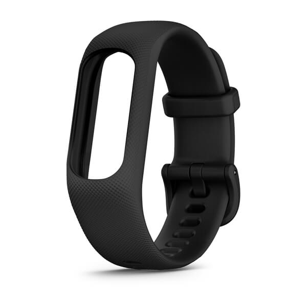
vívosmart® 5 Bands
$49.01 Add to cartFits wrists with a circumference of 148-228 mm
Overview
® 5 Bands for a new color on compatible models. Simply remove your current vívosmart® 5 from your existing band and place it into your new one. No removal tools needed. Individual colors sold separately." description-size="large" description-align="center" theme="light" > -
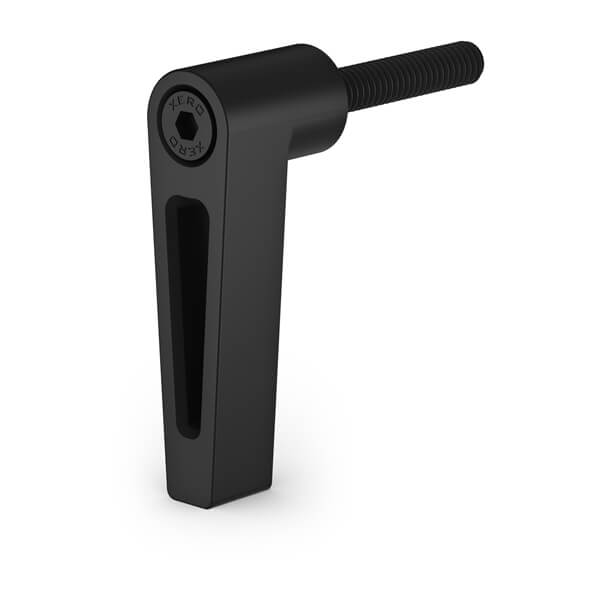
Elevation Rail Twist Lock (Xero® A1i PRO)
$109.00 Add to cartOverview
Use this to quickly unlock the elevation rail when using Extra Distance Mode (XD Mode) on you Xero® A1i PRO.
-
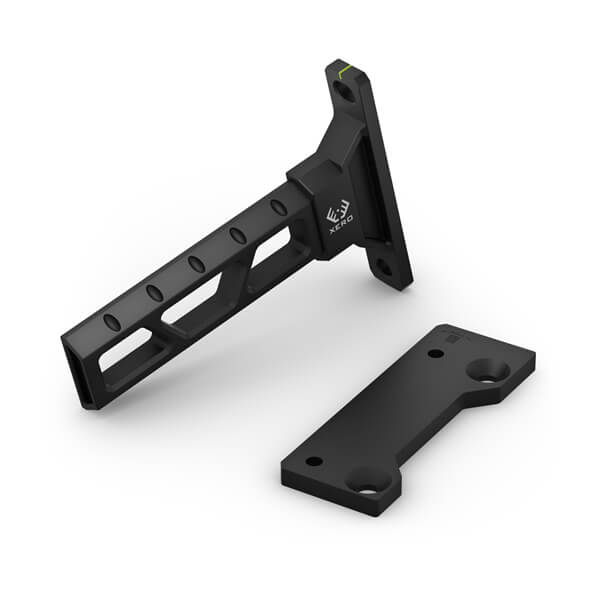
Universal Dovetail Connector (Xero® A1i PRO)
$198.89 Add to cartOverview
This universal dovetail connector replaces the standard dovetail on your compatible Xero® A1i PRO bow sight. Select the correct dovetail connector for your bow by choosing right-handed or left-handed. Can be used with any bracket or bow that accepts standard sight dovetails.
-
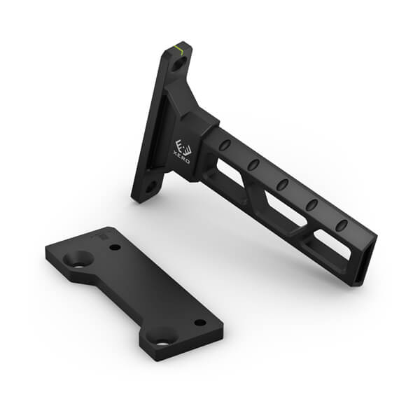
Universal Dovetail Connector (Xero® A1i PRO)
$198.89 Add to cartOverview
This universal dovetail connector replaces the standard dovetail on your compatible Xero® A1i PRO bow sight. Select the correct dovetail connector for your bow by choosing right-handed or left-handed. Can be used with any bracket or bow that accepts standard sight dovetails.
-
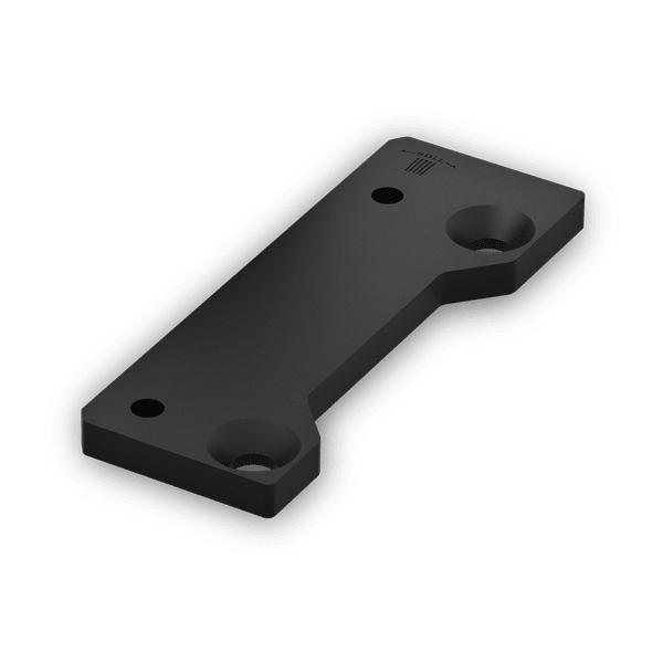
Windage Extender Plate (Xero® A1i PRO)
$17.00 Add to cartOverview
® A1i PRO bow sight. The correct extender plate handedness will match that of your bow (i.e. choose Right-hand for a Right- handed bow). Includes screws for easy installation." description-size="large" description-align="center" theme="light" > -
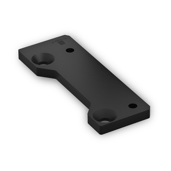
Windage Extender Plate (Xero® A1i PRO)
$17.00 Add to cartOverview
® A1i PRO bow sight. The correct extender plate handedness will match that of your bow (i.e. choose Right-hand for a Right- handed bow). Includes screws for easy installation." description-size="large" description-align="center" theme="light" > -
USB Cable Type A to Type C (Edge)
$27.02 Add to cartOverview
Connect this cable to a USB A port to recharge your compatible device and to transfer data to and from your computer.
-
Perspective Mount (LiveScope™ Plus LVS34)
$199.00 Add to cartOverview
LVS34 transducer to this mount to add an overhead sonar view that’s perfect for scouting and fishing in shallow water." description-size="large" description-align="center" theme="light" > -
Quick Release Bands (18 mm)
$69.00 Add to cartOverview
Stay stylish and sport-ready with these adjustable, quick release bands for your compatible Garmin watch. Simply remove the bands with a slide of the bar, and pop on different bands for the ultimate personal accessory.
-
Quick Release Bands (18 mm)
$69.00 Add to cartOverview
Stay stylish and sport-ready with these adjustable, quick release bands for your compatible Garmin watch. Simply remove the bands with a slide of the bar, and pop on different bands for the ultimate personal accessory.
-
Quick Release Bands (18 mm)
$69.00 Add to cartOverview
Stay stylish and sport-ready with these adjustable, quick release bands for your compatible Garmin watch. Simply remove the bands with a slide of the bar, and pop on different bands for the ultimate personal accessory.
-
Quick Release Bands (18 mm)
$69.00 Add to cartOverview
Stay stylish and sport-ready with these adjustable, quick release bands for your compatible Garmin watch. Simply remove the bands with a slide of the bar, and pop on different bands for the ultimate personal accessory.
-
Quick Release Bands (18 mm)
$69.00 Add to cartOverview
Stay stylish and sport-ready with these adjustable, quick release bands for your compatible Garmin watch. Simply remove the bands with a slide of the bar, and pop on different bands for the ultimate personal accessory.
-
Quick Release Bands (22 mm)
$69.00 Add to cartOverview
Stay stylish and sport-ready with these adjustable, quick release bands for your compatible Garmin watch. Simply remove the bands with a slide of the bar, and pop on different bands for the ultimate personal accessory.
-
Quick Release Bands (22 mm)
$69.00 Add to cartOverview
Stay stylish and sport-ready with these adjustable, quick release bands for your compatible Garmin watch. Simply remove the bands with a slide of the bar, and pop on different bands for the ultimate personal accessory.
-

Quick Release Bands (22 mm)
$69.00 Add to cartOverview
Stay stylish and sport-ready with these adjustable, quick release bands for your compatible Garmin watch. Simply remove the bands with a slide of the bar, and pop on different bands for the ultimate personal accessory.
-
USB-C Charging/Data Cable
$39.00 Add to cartOverview
Connect this cable to your USB-C AC adapter (sold separately) to recharge your compatible device.
-
USB-C Charging/Data Cable
$39.00 Add to cartOverview
Connect this cable to your USB-C AC adapter (sold separately) to recharge your compatible device.
-
QuickFit® 20 Watch Bands
$89.00 Add to cartLength of adjustment band is 110 mm. Length of buckle band is 84 mm. Include your watch case size when measuring for fit.
Overview
Just swap, click and go with interchangable 20 mm wide bands for your compatible watch. Choose leather, metal or silicone to change your watch's look and feel in a snap. It's easy to switch, and always secure. No tools required. See your product specs tab for wrist circumference information.
-
QuickFit® 20 Watch Bands
$89.00 Add to cartLength of adjustment band is 110 mm. Length of buckle band is 84 mm. Include your watch case size when measuring for fit.
Overview
Just swap, click and go with interchangable 20 mm wide bands for your compatible watch. Choose leather, metal or silicone to change your watch's look and feel in a snap. It's easy to switch, and always secure. No tools required. See your product specs tab for wrist circumference information.
-
QuickFit® 20 Watch Bands
$89.00 Add to cartLength of adjustment band is 110 mm. Length of buckle band is 84 mm. Include your watch case size when measuring for fit.
Overview
Just swap, click and go with interchangable 20 mm wide bands for your compatible watch. Choose leather, metal or silicone to change your watch's look and feel in a snap. It's easy to switch, and always secure. No tools required. See your product specs tab for wrist circumference information.
-
QuickFit® 20 Watch Bands
$89.00 Add to cartLength of adjustment band is 110 mm. Length of buckle band is 84 mm. Include your watch case size when measuring for fit.
Overview
Just swap, click and go with interchangable 20 mm wide bands for your compatible watch. Choose leather, metal or silicone to change your watch's look and feel in a snap. It's easy to switch, and always secure. No tools required. See your product specs tab for wrist circumference information.
-
QuickFit® 20 Watch Bands
$89.00 Add to cartLength of adjustment band is 110 mm. Length of buckle band is 84 mm. Include your watch case size when measuring for fit.
Overview
Just swap, click and go with interchangable 20 mm wide bands for your compatible watch. Choose leather, metal or silicone to change your watch's look and feel in a snap. It's easy to switch, and always secure. No tools required. See your product specs tab for wrist circumference information.
-
QuickFit® 22 Watch Bands
$89.00 Add to cartLength of adjustment band is 132 mm. Length of buckle band is 96 mm. Include your watch case size when measuring for fit.
Overview
Premium watch straps — uniquely crafted to fit the personalities and interests of their owners. We navigated the world to collect the finest materials so we could create these accessories that attach with a click to compatible watches.
-
QuickFit® 22 Watch Bands
$89.00 Add to cartLength of adjustment band is 132 mm. Length of buckle band is 96 mm. Include your watch case size when measuring for fit.
Overview
Premium watch straps — uniquely crafted to fit the personalities and interests of their owners. We navigated the world to collect the finest materials so we could create these accessories that attach with a click to compatible watches.
-
QuickFit® 22 Watch Bands
$89.00 Add to cartLength of adjustment band is 132 mm. Length of buckle band is 96 mm. Include your watch case size when measuring for fit.
Overview
Premium watch straps — uniquely crafted to fit the personalities and interests of their owners. We navigated the world to collect the finest materials so we could create these accessories that attach with a click to compatible watches.
-
QuickFit® 22 Watch Bands
$89.00 Add to cartLength of adjustment band is 132 mm. Length of buckle band is 96 mm. Include your watch case size when measuring for fit.
Overview
Premium watch straps — uniquely crafted to fit the personalities and interests of their owners. We navigated the world to collect the finest materials so we could create these accessories that attach with a click to compatible watches.
-
QuickFit® 22 Watch Bands
$89.00 Add to cartLength of adjustment band is 132 mm. Length of buckle band is 96 mm. Include your watch case size when measuring for fit.
Overview
Premium watch straps — uniquely crafted to fit the personalities and interests of their owners. We navigated the world to collect the finest materials so we could create these accessories that attach with a click to compatible watches.
-
QuickFit® 22 Watch Bands
$89.00 Add to cartLength of adjustment band is 132 mm. Length of buckle band is 96 mm. Include your watch case size when measuring for fit.
Overview
Premium watch straps — uniquely crafted to fit the personalities and interests of their owners. We navigated the world to collect the finest materials so we could create these accessories that attach with a click to compatible watches.
-
QuickFit® 22 Watch Bands
$89.00 Add to cartLength of adjustment band is 132 mm. Length of buckle band is 96 mm. Include your watch case size when measuring for fit.
Overview
Premium watch straps — uniquely crafted to fit the personalities and interests of their owners. We navigated the world to collect the finest materials so we could create these accessories that attach with a click to compatible watches.
-
QuickFit® 22 Watch Bands
$89.00 Add to cartLength of adjustment band is 132 mm. Length of buckle band is 96 mm. Include your watch case size when measuring for fit.
Overview
Premium watch straps — uniquely crafted to fit the personalities and interests of their owners. We navigated the world to collect the finest materials so we could create these accessories that attach with a click to compatible watches.
-

QuickFit® 22 Watch Bands
$89.00 Add to cartLength of adjustment band is 132 mm. Length of buckle band is 96 mm. Include your watch case size when measuring for fit.
Overview
Premium watch straps — uniquely crafted to fit the personalities and interests of their owners. We navigated the world to collect the finest materials so we could create these accessories that attach with a click to compatible watches.
-
QuickFit® 26 Watch Bands
$89.00 Add to cartLength of adjustment band is 124 mm. Length of buckle band is 95 mm. Include your watch case size when measuring for fit.
Overview
Just swap, click and go with 26 mm wide interchangable bands for your compatible watch. Choose leather, metal or silicone to change your watch's look and feel in a snap. It's easy to switch, and always secure. No tools required.
-
QuickFit® 26 Watch Bands
$89.00 Add to cartLength of adjustment band is 124 mm. Length of buckle band is 95 mm. Include your watch case size when measuring for fit.
Overview
Just swap, click and go with 26 mm wide interchangable bands for your compatible watch. Choose leather, metal or silicone to change your watch's look and feel in a snap. It's easy to switch, and always secure. No tools required.
-
QuickFit® 26 Watch Bands
$89.00 Add to cartLength of adjustment band is 124 mm. Length of buckle band is 95 mm. Include your watch case size when measuring for fit.
Overview
Just swap, click and go with 26 mm wide interchangable bands for your compatible watch. Choose leather, metal or silicone to change your watch's look and feel in a snap. It's easy to switch, and always secure. No tools required.
-
QuickFit® 26 Watch Bands
$89.00 Add to cartLength of adjustment band is 124 mm. Length of buckle band is 95 mm. Include your watch case size when measuring for fit.
Overview
Just swap, click and go with 26 mm wide interchangable bands for your compatible watch. Choose leather, metal or silicone to change your watch's look and feel in a snap. It's easy to switch, and always secure. No tools required.
-
QuickFit® 26 Watch Bands
$89.00 Add to cartLength of adjustment band is 124 mm. Length of buckle band is 95 mm. Include your watch case size when measuring for fit.
Overview
Just swap, click and go with 26 mm wide interchangable bands for your compatible watch. Choose leather, metal or silicone to change your watch's look and feel in a snap. It's easy to switch, and always secure. No tools required.
-
QuickFit® 26 Watch Bands
$89.00 Add to cartLength of adjustment band is 124 mm. Length of buckle band is 95 mm. Include your watch case size when measuring for fit.
Overview
Just swap, click and go with 26 mm wide interchangable bands for your compatible watch. Choose leather, metal or silicone to change your watch's look and feel in a snap. It's easy to switch, and always secure. No tools required.
-
QuickFit® 26 Watch Bands
$89.00 Add to cartLength of adjustment band is 124 mm. Length of buckle band is 95 mm. Include your watch case size when measuring for fit.
Overview
Just swap, click and go with 26 mm wide interchangable bands for your compatible watch. Choose leather, metal or silicone to change your watch's look and feel in a snap. It's easy to switch, and always secure. No tools required.
-
QuickFit® 26 Watch Bands
$89.00 Add to cartLength of adjustment band is 124 mm. Length of buckle band is 95 mm. Include your watch case size when measuring for fit.
Overview
Just swap, click and go with 26 mm wide interchangable bands for your compatible watch. Choose leather, metal or silicone to change your watch's look and feel in a snap. It's easy to switch, and always secure. No tools required.
-
QuickFit® 26 Watch Bands
$89.00 Add to cartLength of adjustment band is 124 mm. Length of buckle band is 95 mm. Include your watch case size when measuring for fit.
Overview
Just swap, click and go with 26 mm wide interchangable bands for your compatible watch. Choose leather, metal or silicone to change your watch's look and feel in a snap. It's easy to switch, and always secure. No tools required.
-
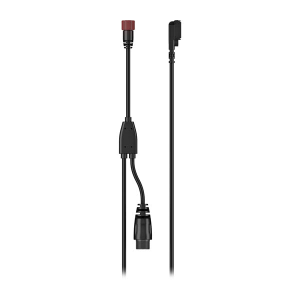
Group Ride Radio Y-adapter Cable
$69.00 Add to cartOverview
® XT2, providing power and connectivity to both devices." description-size="large" description-align="center" theme="light" > -

Motorcycle Mount Bracket
$29.00 Add to cartOverview
® 2 or compatible zūmo® sat nav to your motorcycle with this bracket that attaches to the bike’s handlebars using a separate mounting kit (sold separately). Hardware to attach the bracket to your compatible device is included." description-size="large" description-align="center" theme="light" > -
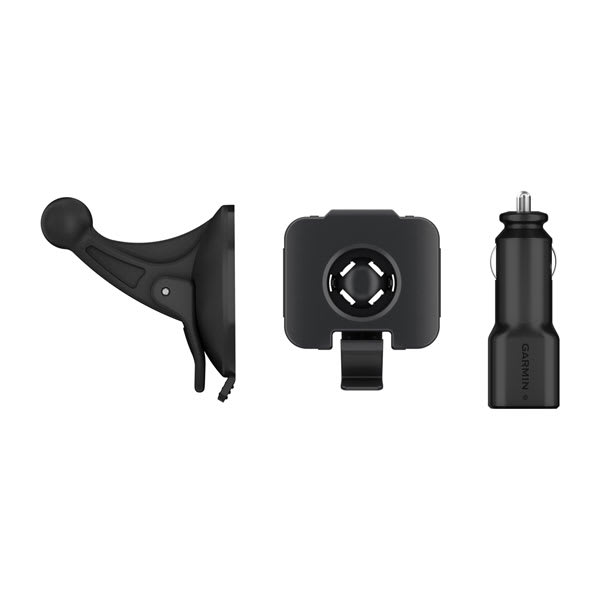
Automotive Mount Kit
$39.00 Add to cartOverview
® motorcycle sat-nav on your windshield or any smooth, flat surface. Includes suction cup mount, bracket, vehicle power cable and CLA adapter." description-size="large" description-align="center" theme="light" > -
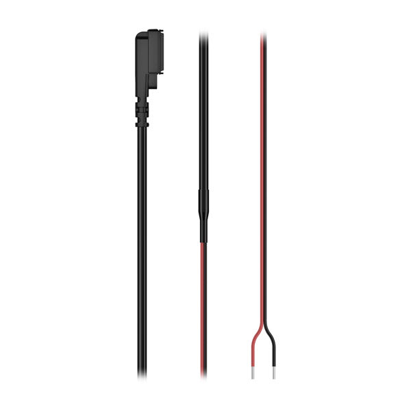
Motorcycle Power Cable
$69.00 Add to cartOverview
® sat nav to your motorcycle battery." description-size="large" description-align="center" theme="light" > -
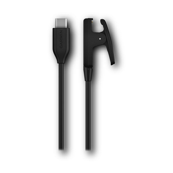
USB-C Clip Charging/Data Cable
$29.00 Add to cartOverview
Connect this 0.5 m cable to your USB-C AC adapter (sold separately) to recharge your compatible device.
-
26 mm Watch Bands
$69.00 Add to cartOverview
Replace your 26 mm band on compatible Instinct series adventure watches with these stylish colors. Simply remove your current watch band and add a new band for a comfortable and enhanced fit. Bands, keepers and pins included. Individual colors sold separately.
-
26 mm Watch Bands
$69.00 Add to cartOverview
Replace your 26 mm band on compatible Instinct series adventure watches with these stylish colors. Simply remove your current watch band and add a new band for a comfortable and enhanced fit. Bands, keepers and pins included. Individual colors sold separately.
-
26 mm Watch Bands
$69.00 Add to cartOverview
Replace your 26 mm band on compatible Instinct series adventure watches with these stylish colors. Simply remove your current watch band and add a new band for a comfortable and enhanced fit. Bands, keepers and pins included. Individual colors sold separately.
-
26 mm Watch Bands
$69.00 Add to cartOverview
Replace your 26 mm band on compatible Instinct series adventure watches with these stylish colors. Simply remove your current watch band and add a new band for a comfortable and enhanced fit. Bands, keepers and pins included. Individual colors sold separately.
-
26 mm Watch Bands
$69.00 Add to cartOverview
Replace your 26 mm band on compatible Instinct series adventure watches with these stylish colors. Simply remove your current watch band and add a new band for a comfortable and enhanced fit. Bands, keepers and pins included. Individual colors sold separately.
-

26 mm Watch Bands
$69.00 Add to cartOverview
Replace your 26 mm band on compatible Instinct series adventure watches with these stylish colors. Simply remove your current watch band and add a new band for a comfortable and enhanced fit. Bands, keepers and pins included. Individual colors sold separately.
-
Power Cable (USB-C to Bare Wire)
$45.00 Add to cartOverview
Add a power connection for your compatible Garmin device with this bare wire cable that works with 12 V and 24 V systems.
-
Lily® 2 Bands
$69.00 Add to cartOverview
Stay stylish and sport-ready with these adjustable, quick release bands for your compatible Garmin watch. Simply remove the bands with a slide of the bar, and pop on different bands for the ultimate personal accessory.
-
Lily® 2 Bands
$69.00 Add to cartOverview
Stay stylish and sport-ready with these adjustable, quick release bands for your compatible Garmin watch. Simply remove the bands with a slide of the bar, and pop on different bands for the ultimate personal accessory.
-
Lily® 2 Bands
$69.00 Add to cartOverview
Stay stylish and sport-ready with these adjustable, quick release bands for your compatible Garmin watch. Simply remove the bands with a slide of the bar, and pop on different bands for the ultimate personal accessory.
-
Lily® 2 Bands
$119.00 Add to cartOverview
Stay stylish and sport-ready with these adjustable, quick release bands for your compatible Garmin watch. Simply remove the bands with a slide of the bar, and pop on different bands for the ultimate personal accessory.
-

Lily® 2 Bands
$119.00 Add to cartOverview
Stay stylish and sport-ready with these adjustable, quick release bands for your compatible Garmin watch. Simply remove the bands with a slide of the bar, and pop on different bands for the ultimate personal accessory.
-
Lily® 2 Bands
$119.00 Add to cartOverview
Stay stylish and sport-ready with these adjustable, quick release bands for your compatible Garmin watch. Simply remove the bands with a slide of the bar, and pop on different bands for the ultimate personal accessory.
-
Lily® 2 Bands
$119.00 Add to cartOverview
Stay stylish and sport-ready with these adjustable, quick release bands for your compatible Garmin watch. Simply remove the bands with a slide of the bar, and pop on different bands for the ultimate personal accessory.
-
Lily® 2 Bands
$119.00 Add to cartOverview
Stay stylish and sport-ready with these adjustable, quick release bands for your compatible Garmin watch. Simply remove the bands with a slide of the bar, and pop on different bands for the ultimate personal accessory.
-
Lily® 2 Bands
$69.00 Add to cartOverview
Stay stylish and sport-ready with these adjustable, quick release bands for your compatible Garmin watch. Simply remove the bands with a slide of the bar, and pop on different bands for the ultimate personal accessory.
-
Lily® 2 Bands
$69.00 Add to cartOverview
Stay stylish and sport-ready with these adjustable, quick release bands for your compatible Garmin watch. Simply remove the bands with a slide of the bar, and pop on different bands for the ultimate personal accessory.
-
Lily® 2 Bands
$69.00 Add to cartOverview
Stay stylish and sport-ready with these adjustable, quick release bands for your compatible Garmin watch. Simply remove the bands with a slide of the bar, and pop on different bands for the ultimate personal accessory.
-
UltraFit Nylon Straps (20 mm)
$69.00 Add to cartLength of adjustment band is 110 mm. Length of buckle band is 84 mm. Include your watch case size when measuring for fit.
Overview
Just swap, click and go with interchangable 20 mm wide bands for your compatible watch. Choose leather, metal or silicone to change your watch's look and feel in a snap. It's easy to switch, and always secure. No tools required. See your product specs tab for wrist circumference information.
-
UltraFit Nylon Straps (20 mm)
$69.00 Add to cartLength of adjustment band is 110 mm. Length of buckle band is 84 mm. Include your watch case size when measuring for fit.
Overview
Just swap, click and go with interchangable 20 mm wide bands for your compatible watch. Choose leather, metal or silicone to change your watch's look and feel in a snap. It's easy to switch, and always secure. No tools required. See your product specs tab for wrist circumference information.
-
UltraFit Nylon Straps (20 mm)
$69.00 Add to cartLength of adjustment band is 110 mm. Length of buckle band is 84 mm. Include your watch case size when measuring for fit.
Overview
Just swap, click and go with interchangable 20 mm wide bands for your compatible watch. Choose leather, metal or silicone to change your watch's look and feel in a snap. It's easy to switch, and always secure. No tools required. See your product specs tab for wrist circumference information.
-
UltraFit Nylon Straps (22 mm)
$69.00 Add to cartLength of adjustment band is 132 mm. Length of buckle band is 96 mm. Include your watch case size when measuring for fit.
Overview
Premium watch straps — uniquely crafted to fit the personalities and interests of their owners. We navigated the world to collect the finest materials so we could create these accessories that attach with a click to compatible watches.
-

UltraFit Nylon Straps (22 mm)
$69.00 Add to cartLength of adjustment band is 132 mm. Length of buckle band is 96 mm. Include your watch case size when measuring for fit.
Overview
Premium watch straps — uniquely crafted to fit the personalities and interests of their owners. We navigated the world to collect the finest materials so we could create these accessories that attach with a click to compatible watches.
-
UltraFit Nylon Straps (22 mm)
$69.00 Add to cartLength of adjustment band is 132 mm. Length of buckle band is 96 mm. Include your watch case size when measuring for fit.
Overview
Premium watch straps — uniquely crafted to fit the personalities and interests of their owners. We navigated the world to collect the finest materials so we could create these accessories that attach with a click to compatible watches.
-
UltraFit Nylon Straps (22 mm)
$69.00 Add to cartLength of adjustment band is 132 mm. Length of buckle band is 96 mm. Include your watch case size when measuring for fit.
Overview
Premium watch straps — uniquely crafted to fit the personalities and interests of their owners. We navigated the world to collect the finest materials so we could create these accessories that attach with a click to compatible watches.
-
UltraFit Nylon Straps (22 mm)
$69.00 Add to cartLength of adjustment band is 132 mm. Length of buckle band is 96 mm. Include your watch case size when measuring for fit.
Overview
Premium watch straps — uniquely crafted to fit the personalities and interests of their owners. We navigated the world to collect the finest materials so we could create these accessories that attach with a click to compatible watches.
-
UltraFit Nylon Straps (26 mm)
$69.00 Add to cartLength of adjustment band is 124 mm. Length of buckle band is 95 mm. Include your watch case size when measuring for fit.
Overview
Just swap, click and go with 26 mm wide interchangable bands for your compatible watch. Choose leather, metal or silicone to change your watch's look and feel in a snap. It's easy to switch, and always secure. No tools required.
-
UltraFit Nylon Straps (26 mm)
$69.00 Add to cartLength of adjustment band is 124 mm. Length of buckle band is 95 mm. Include your watch case size when measuring for fit.
Overview
Just swap, click and go with 26 mm wide interchangable bands for your compatible watch. Choose leather, metal or silicone to change your watch's look and feel in a snap. It's easy to switch, and always secure. No tools required.
-

UltraFit Nylon Straps (26 mm)
$69.00 Add to cartLength of adjustment band is 124 mm. Length of buckle band is 95 mm. Include your watch case size when measuring for fit.
Overview
Just swap, click and go with 26 mm wide interchangable bands for your compatible watch. Choose leather, metal or silicone to change your watch's look and feel in a snap. It's easy to switch, and always secure. No tools required.
-
UltraFit Nylon Straps (26 mm)
$69.00 Add to cartLength of adjustment band is 124 mm. Length of buckle band is 95 mm. Include your watch case size when measuring for fit.
Overview
Just swap, click and go with 26 mm wide interchangable bands for your compatible watch. Choose leather, metal or silicone to change your watch's look and feel in a snap. It's easy to switch, and always secure. No tools required.
-
UltraFit Nylon Straps (26 mm)
$69.00 Add to cartLength of adjustment band is 124 mm. Length of buckle band is 95 mm. Include your watch case size when measuring for fit.
Overview
Just swap, click and go with 26 mm wide interchangable bands for your compatible watch. Choose leather, metal or silicone to change your watch's look and feel in a snap. It's easy to switch, and always secure. No tools required.
-
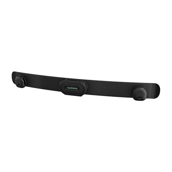
HRM-Fit™
$249.00 Add to cartOverview
DESIGNED TO FIT, BUILT TO PERFORM
Purpose-built for women, HRM-Fit is the heart rate monitor you need to capture the important metrics — all with a comfortable clip-on design.
CLIPS DIRECTLY ONTO MEDIUM- AND HIGH-SUPPORT SPORTS BRAS
UP TO 1 YEAR OF BATTERY LIFE
TRANSMITS REAL-TIME HEART RATE DATA TO YOUR COMPATIBLE DEVICES AND APPS
VERSATILE ENOUGH FOR RUNNING, CYCLING, HIIT, STRENGTH TRAINING AND MORE
CAPTURES RUNNING DYNAMICS TO IMPROVE YOUR FORM WITH YOUR COMPATIBLE GARMIN SMARTWATCH
PROVIDES STEPS, CALORIES, INTENSITY MINUTES AND ALL-DAY HEART RATE
MADE FOR WOMEN
CONNECTIVITY
Running dynamics
TRAINING VERSATILITY
Move how you choose. This monitor provides accurate heart rate data for various activities, including running, indoor and outdoor cycling, strength training, HIIT, fitness classes and more.
INDOOR RUNNING
STORE AND FORWARD DATA
ACTIVITY TRACKING
BATTERY LIFE
Don’t worry about running out of juice. The HRM-Fit™ monitor gets up to 1 year of battery life.
-

Low-profile Magnetic Mount (Dash Cam)
$25.00 Add to cartOverview
Easily attach and remove your compatible Dash Cam with this low-profile mount. The magnetic base securely attaches to the mounting surface using adhesive. Includes one mount and two bases. This mount has a ball joint size of 8.55 mm (0.3 inches)
-
USB Cables - Type C to Type C
$25.00 Add to cartOverview
Connect this cable to a USB-C port to recharge your compatible device and to transfer data to and from your computer. This cable also pairs with an optional AC adapter (sold separately).
-

Low-profile Adhesive Mount
$19.00 Add to cartOverview
Securely mount your compatible Dash Cam and keep your hands on the wheel while driving. The low-profile design helps minimise blockage of your line of sight as you navigate. Includes one mount with adhesive material. This mount has a ball joint size of 8.55 mm (0.3 inches).
-
Tail Wrap (Blaze Equine Wellness System)
$269.02 Add to cartOverview
Blaze equine wellness system sensor. The durable and washable neoprene wrap with hook-and-loop straps is easy-to-attach to your horse’s tail. Sensor not included." description-size="large" description-align="center" theme="light" > -
Loop Carabiner
$24.00 Add to cartOverview
" description-size="large" description-align="center" theme="light" > -
Backpack Tether
$49.01 Add to cartOverview
The same hook-n-loop material also is used to easily stow your compatible Garmin device for optimal GPS performance while still providing access at a moment’s notice. When the device is detached from the hook-n-loop, the spine mount and lanyard cord - adjustable in length from 5.1 cm to 61 cm (2″ to 24″) - ensure the device will stay with you at all times.
A Cradle Mount accessory is required when used with the inReach® Messenger or inReach Messenger Plus devices." description-size="large" description-align="center" theme="light" > -

Bike Mount
$24.00 Add to cartOverview
A compatible Spine Mount Adapter (sold separately) is required when used with an inReach® Mini 3 device, and a compatible Cradle Mount (sold separately) is required when used with an inReach® Messenger device." description-size="large" description-align="center" theme="light" > -

Powered Mount
$119.00 Add to cartOverview
Designed for one-handed, quick-release operation, this powered mount allows for easy grab-and-go accessibility with your compatible handheld device. It uses the AMPS mounting pattern and includes an integrated cable with USB connection. Mounting kit not included.
-

Powered Mount with Suction Cup
$225.01 Add to cartOverview
Designed for one-handed, quick-release operation, this powered mount with suction cup allows for easy grab-and-go accessibility with your compatible Garmin device. It uses the AMPS mounting pattern and includes an integrated cable with USB-C connection. Use the suction cup to secure your device to your windshield or any smooth, flat surface.
-
HRM 600
$299.00 Add to cartOverview
TRAIN WITH HEART
The HRM 600 premium heart rate monitor is built for data-driven performance athletes looking for accurate heart rate and HRV data plus running dynamics.
SENDS REAL-TIME HEART RATE AND HRV DATA TO COMPATIBLE DEVICES AND APPS
UP TO 2 MONTHS OF BATTERY LIFE WITH A RECHARGEABLE BATTERY
RUNNING DYNAMICS WHEN PAIRED WITH YOUR COMPATIBLE SMARTWATCH
RECORD ACTIVITIES AND SYNC TO THE GARMIN CONNECT™ SMARTPHONE APP WITHOUT A WATCH
COMFORTABLE, MACHINE-WASHABLE STRAP AVAILABLE IN TWO SIZES
DURABLE AND VERSATILE WITH A 5 ATM WATER RATING
SHOW US WHAT YOU’VE GOT. TAG @GARMIN ON INSTAGRAM.
CONNECTIVITY
EXPANDED RUNNING DYNAMICS
ACTIVITY RECORDING
ACTIVITY TRACKING
HRM 600 tracks daily metrics, including steps, heart rate, calories burned and intensity minutes, and syncs that data directly to the Garmin Connect app to update on all your devices.
TRAINING VERSATILITY
FUNCTIONAL AND DURABLE
-
HRM 600
$299.00 Add to cartOverview
TRAIN WITH HEART
The HRM 600 premium heart rate monitor is built for data-driven performance athletes looking for accurate heart rate and HRV data plus running dynamics.
SENDS REAL-TIME HEART RATE AND HRV DATA TO COMPATIBLE DEVICES AND APPS
UP TO 2 MONTHS OF BATTERY LIFE WITH A RECHARGEABLE BATTERY
RUNNING DYNAMICS WHEN PAIRED WITH YOUR COMPATIBLE SMARTWATCH
RECORD ACTIVITIES AND SYNC TO THE GARMIN CONNECT™ SMARTPHONE APP WITHOUT A WATCH
COMFORTABLE, MACHINE-WASHABLE STRAP AVAILABLE IN TWO SIZES
DURABLE AND VERSATILE WITH A 5 ATM WATER RATING
SHOW US WHAT YOU’VE GOT. TAG @GARMIN ON INSTAGRAM.
CONNECTIVITY
EXPANDED RUNNING DYNAMICS
ACTIVITY RECORDING
ACTIVITY TRACKING
HRM 600 tracks daily metrics, including steps, heart rate, calories burned and intensity minutes, and syncs that data directly to the Garmin Connect app to update on all your devices.
TRAINING VERSATILITY
FUNCTIONAL AND DURABLE
-
HRM Accessory Strap
$69.00 Add to cartOverview
This machine-washable strap comes in two sizes and is compatible with the HRM-Dual, HRM 200 and HRM 600. Please choose the appropriate size based on chest circumference.
-
HRM Accessory Strap
$69.00 Add to cartOverview
This machine-washable strap comes in two sizes and is compatible with the HRM-Dual, HRM 200 and HRM 600. Please choose the appropriate size based on chest circumference.
-

dēzl™ DualView Replacement Camera
$339.00 Add to cartOverview
Use this camera to replace the left or right side of your dēzl™ DualView camera system. Secure, flush-mount install to side mirrors or other flat surfaces on your truck.
-

dēzl™ DualView Mounting Hardware Kit
$89.00 Add to cartOverview
This hardware kit includes all the hardware needed to securely mount your dēzl™ DualView camera system to your vehicle. Includes 16 screws and 10 nuts.
-
HRM 200
$149.00 Add to cartOverview
NEVER MISS A BEAT
When you need accurate heart rate and heart rate variability (HRV) data, the HRM 200 heart rate monitor is there to capture it all.
SENDS REAL-TIME HEART RATE AND HRV DATA TO COMPATIBLE DEVICES AND APPS
UP TO 1 YEAR OF BATTERY LIFE
COMFORTABLE AND AVAILABLE IN 2 SIZES FOR AN IDEAL FIT
DURABLE AND BUILT TO LAST WITH A 3 ATM WATER RATING
MACHINE WASHABLE STRAP FOR EASY CLEANING
SHOW US WHAT YOU’VE GOT. TAG @GARMIN ON INSTAGRAM.
TRAINING VERSATILITY
Move how you choose. This monitor provides accurate heart rate data for all your activities, including running, indoor and outdoor cycling, strength training and more.
CONNECTIVITY
COMFORTABLE WEAR
The small, lightweight heart rate module fits within the width of the soft, comfortable strap. It comes in 2 sizes (XS–S and M–XL), so you can choose the ideal fit for your body.
FUNCTIONAL AND DURABLE
BATTERY LIFE
Don’t worry about running out of juice. The HRM 200 monitor comes with a user-replaceable battery and gets up to 1 year of battery life. The tool for opening the battery cover is conveniently located directly on the strap.
MACHINE WASHABLE
Cleaning it is simple. Just remove the module and toss the strap into the washing machine.
-
HRM 200
$149.00 Add to cartOverview
NEVER MISS A BEAT
When you need accurate heart rate and heart rate variability (HRV) data, the HRM 200 heart rate monitor is there to capture it all.
SENDS REAL-TIME HEART RATE AND HRV DATA TO COMPATIBLE DEVICES AND APPS
UP TO 1 YEAR OF BATTERY LIFE
COMFORTABLE AND AVAILABLE IN 2 SIZES FOR AN IDEAL FIT
DURABLE AND BUILT TO LAST WITH A 3 ATM WATER RATING
MACHINE WASHABLE STRAP FOR EASY CLEANING
SHOW US WHAT YOU’VE GOT. TAG @GARMIN ON INSTAGRAM.
TRAINING VERSATILITY
Move how you choose. This monitor provides accurate heart rate data for all your activities, including running, indoor and outdoor cycling, strength training and more.
CONNECTIVITY
COMFORTABLE WEAR
The small, lightweight heart rate module fits within the width of the soft, comfortable strap. It comes in 2 sizes (XS–S and M–XL), so you can choose the ideal fit for your body.
FUNCTIONAL AND DURABLE
BATTERY LIFE
Don’t worry about running out of juice. The HRM 200 monitor comes with a user-replaceable battery and gets up to 1 year of battery life. The tool for opening the battery cover is conveniently located directly on the strap.
MACHINE WASHABLE
Cleaning it is simple. Just remove the module and toss the strap into the washing machine.
-

QuickFit® 26 Watch Bands
$89.00 Add to cartLength of adjustment band is 124 mm. Length of buckle band is 95 mm. Include your watch case size when measuring for fit.
Overview
Just swap, click and go with 26 mm wide interchangable bands for your compatible watch. Choose leather, metal or silicone to change your watch's look and feel in a snap. It's easy to switch, and always secure. No tools required.
-

QuickFit® 26 Watch Bands
$89.00 Add to cartLength of adjustment band is 124 mm. Length of buckle band is 95 mm. Include your watch case size when measuring for fit.
Overview
Just swap, click and go with 26 mm wide interchangable bands for your compatible watch. Choose leather, metal or silicone to change your watch's look and feel in a snap. It's easy to switch, and always secure. No tools required.
-

22 mm Watch Bands (Instinct® 3 - 45 mm/Instinct Crossover AMOLED)
$69.00 Add to cartLength of adjustment band is 129 mm. Length of buckle band is 96 mm. Include your watch case size when measuring for fit.
Overview
Replace your 22 mm band on compatible Instinct series adventure watches with these stylish colours. Simply remove your current watch band and add a new band for a comfortable and enhanced fit. Bands, keepers and pins included. Individual colours sold separately.
-

22 mm Watch Bands (Instinct® 3 - 45 mm/Instinct Crossover AMOLED)
$69.00 Add to cartLength of adjustment band is 129 mm. Length of buckle band is 96 mm. Include your watch case size when measuring for fit.
Overview
Replace your 22 mm band on compatible Instinct series adventure watches with these stylish colours. Simply remove your current watch band and add a new band for a comfortable and enhanced fit. Bands, keepers and pins included. Individual colours sold separately.
-
26 mm Watch Bands (Instinct® 3 – 50 mm)
$69.00 Add to cartLength of adjustment band is 128 mm. Length of buckle band is 99 mm. Include your watch case size when measuring for fit.
Overview
Replace your 26 mm band on compatible Instinct series adventure watches with these stylish colours. Simply remove your current watch band and add a new band for a comfortable and enhanced fit. Bands, keepers and pins included. Individual colours sold separately.
-

26 mm Watch Bands (Instinct® 3 – 50 mm)
$69.00 Add to cartLength of adjustment band is 128 mm. Length of buckle band is 99 mm. Include your watch case size when measuring for fit.
Overview
Replace your 26 mm band on compatible Instinct series adventure watches with these stylish colours. Simply remove your current watch band and add a new band for a comfortable and enhanced fit. Bands, keepers and pins included. Individual colours sold separately.
-
20 mm Watch Bands (Instinct® E – 40 mm)
$69.00 Add to cartLength of adjustment band is 109 mm; long adjustable band is 143 mm. Length of buckle band is 82 mm. Include your watch case size when measuring for fit.
Overview
Replace your 20 mm band on compatible Instinct series adventure watches with these stylish colours. Simply remove your current watch band and add a new band for a comfortable and enhanced fit. Bands, keepers and pins included. Individual colours sold separately.
-
20 mm Watch Bands (Instinct® E – 40 mm)
$69.00 Add to cartLength of adjustment band is 109 mm; long adjustable band is 143 mm. Length of buckle band is 82 mm. Include your watch case size when measuring for fit.
Overview
Replace your 20 mm band on compatible Instinct series adventure watches with these stylish colours. Simply remove your current watch band and add a new band for a comfortable and enhanced fit. Bands, keepers and pins included. Individual colours sold separately.
-
20 mm Watch Bands (Instinct® E – 40 mm)
$69.00 Add to cartLength of adjustment band is 109 mm; long adjustable band is 143 mm. Length of buckle band is 82 mm. Include your watch case size when measuring for fit.
Overview
Replace your 20 mm band on compatible Instinct series adventure watches with these stylish colours. Simply remove your current watch band and add a new band for a comfortable and enhanced fit. Bands, keepers and pins included. Individual colours sold separately.
-
20 mm Watch Bands (Instinct® E – 40 mm)
$69.00 Add to cartLength of adjustment band is 109 mm; long adjustable band is 143 mm. Length of buckle band is 82 mm. Include your watch case size when measuring for fit.
Overview
Replace your 20 mm band on compatible Instinct series adventure watches with these stylish colours. Simply remove your current watch band and add a new band for a comfortable and enhanced fit. Bands, keepers and pins included. Individual colours sold separately.
-

22 mm Watch Bands (Instinct® E – 45 mm)
$69.00 Add to cartLength of adjustment band is 132 mm. Length of buckle band is 100 mm. Include your watch case size when measuring for fit.
Overview
Replace your 22 mm band on compatible Instinct series adventure watches with these stylish colours. Simply remove your current watch band and add a new band for a comfortable and enhanced fit. Bands, keepers and pins included. Individual colours sold separately.
-
22 mm Watch Bands (Instinct® E – 45 mm)
$69.00 Add to cartLength of adjustment band is 132 mm. Length of buckle band is 100 mm. Include your watch case size when measuring for fit.
Overview
Replace your 22 mm band on compatible Instinct series adventure watches with these stylish colours. Simply remove your current watch band and add a new band for a comfortable and enhanced fit. Bands, keepers and pins included. Individual colours sold separately.
-

22 mm Watch Bands (Instinct® E – 45 mm)
$69.00 Add to cartLength of adjustment band is 132 mm. Length of buckle band is 100 mm. Include your watch case size when measuring for fit.
Overview
Replace your 22 mm band on compatible Instinct series adventure watches with these stylish colours. Simply remove your current watch band and add a new band for a comfortable and enhanced fit. Bands, keepers and pins included. Individual colours sold separately.
-

22 mm Watch Bands (Instinct® E – 45 mm)
$69.00 Add to cartLength of adjustment band is 132 mm. Length of buckle band is 100 mm. Include your watch case size when measuring for fit.
Overview
Replace your 22 mm band on compatible Instinct series adventure watches with these stylish colours. Simply remove your current watch band and add a new band for a comfortable and enhanced fit. Bands, keepers and pins included. Individual colours sold separately.
-

Quick Release Bands (18 mm)
$69.00 Add to cartOverview
Stay stylish and sport-ready with these adjustable, quick release bands for your compatible Garmin watch. Simply remove the bands with a slide of the bar, and pop on different bands for the ultimate personal accessory.
-
Quick Release Bands (18 mm)
$69.00 Add to cartOverview
Stay stylish and sport-ready with these adjustable, quick release bands for your compatible Garmin watch. Simply remove the bands with a slide of the bar, and pop on different bands for the ultimate personal accessory.
-

Quick Release Bands (18 mm)
$69.00 Add to cartOverview
Stay stylish and sport-ready with these adjustable, quick release bands for your compatible Garmin watch. Simply remove the bands with a slide of the bar, and pop on different bands for the ultimate personal accessory.
-

Quick Release Bands (18 mm)
$69.00 Add to cartOverview
Stay stylish and sport-ready with these adjustable, quick release bands for your compatible Garmin watch. Simply remove the bands with a slide of the bar, and pop on different bands for the ultimate personal accessory.
-
Quick Release Bands (22 mm)
$69.00 Add to cartOverview
Stay stylish and sport-ready with these adjustable, quick release bands for your compatible Garmin watch. Simply remove the bands with a slide of the bar, and pop on different bands for the ultimate personal accessory.
-

Quick Release Bands (22 mm)
$69.00 Add to cartOverview
Stay stylish and sport-ready with these adjustable, quick release bands for your compatible Garmin watch. Simply remove the bands with a slide of the bar, and pop on different bands for the ultimate personal accessory.
-
Extra-long Power Cable (USB-C)
$49.01 Add to cartOverview
Power your compatible Dash Cam with this 8 metre (26 ft) USB-C power cable.
-
Vehicle Power Kit (Dash Cam)
$29.00 Add to cartOverview
Power your compatible Garmin Dash Cam with this adapter while also having the ability to charge a phone, tablet or other device that needs power while on the go. Includes one long 4 metre (13 ft) USB-C power cable for hidden installations.
-

Dive Band Kit
$100.00 Add to cartOverview
This dive band kit includes dual elastic bands that are designed to provide comfort and durability for your Descent™ X50i dive computer. The strong, adjustable straps are built to withstand the harshest conditions and feature an adjustment lock to reduce slipping, while an arrowhead attachment allows for easy one-handed closure.
-
Index™ Sleep Monitor Bands
$89.00 Add to cartOverview
Use this band to swap out the one on your compatible Index Sleep Monitor.
-
Index™ Sleep Monitor Bands
$89.00 Add to cartOverview
Use this band to swap out the one on your compatible Index Sleep Monitor.
-
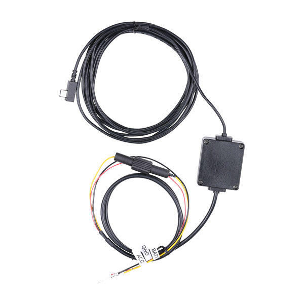
Parking Mode Cable (USB-C)
$79.00 Add to cartOverview
Connect your compatible Garmin Dash Cam™ to constant power and monitor detected incidents to your vehicle even when parked and turned off. You can also use this cable with a Garmin Catalyst 2 motorsports device for convenient, hardwired power. The cable is 4 metres (13 ft) long.
-
Cradle Mount
$24.00 Add to cartOverview
Use the included carabiner and webbing loop to attach your compatible Garmin device to your pack. This non-powered cradle securely attaches to the back of your inReach Messenger® or inReach Messenger Plus device to make the included Spine Mount 2 an attachment point for your compatible mount. The Spine Mount 2 accessory has different compatibility than the original Spine Mount accessory.
-
90-degree Antenna Adapter (Alpha® XL)
$49.02 Add to cartOverview
This adapter allows you to mount your compatible antenna at 90-degrees.
-
zūmo® XT3 4.7" Carrying Case
$45.00 Add to cartOverview
Travel in style with this sleek 4.7″ carrying case. It’s built to endure the elements, protecting your compatible GPS sat nav for the long haul. This case is designed with a durable thermo-molded exterior with a zipper-accessed padded interior.
-

Moto Mount Bracket
$35.00 Add to cartOverview
® sat nav to your motorcycle with this bracket that attaches to the bike’s handlebars using a separate mounting kit (sold separately). Hardware to attach the bracket to your compatible zūmo is included." description-size="large" description-align="center" theme="light" > -

Handlebar Mount Kit
$99.00 Add to cartOverview
Use this mount kit with U-bolt base to secure your compatible Garmin device and provide high visibility on your handlebars. This mount has a ball joint size of 25.4 mm (1″).
-

Motorcycle Post-mount
$99.00 Add to cartOverview
Ideal for smaller motorcycles, this sleek post-mount hardware secures your compatible Garmin device to your motorcycle. The mount has a ball size of 25.4 mm (1″).
-
Carry Case (Descent™ X Series)
$119.00 Add to cartOverview
Protect your Descent X dive computer with this carry case. The black nylon case with velvet interior features an easy to open zippered pull cord and a mesh pocket on the upper inside pocket to place your charge cable or other smaller items.
-
Screen Protector Kit, 2-pack (Descent™ X30)
$24.00 Add to cartOverview
These screen protectors reduce sunlight glare, minimise fingerprint smudges and protect against scratches on your compatible Descent X30 dive computer. Includes two screen protectors per package, plus dust collector sheet, cleaning wipes and cloth, and application tool. Device not included.
-
Quick Release Bands (24 mm)
$69.00 Add to cartFits wrists with a circumference of 126-250 mm
Overview
Stay stylish and sport-ready with these adjustable, quick release bands for your compatible Garmin watch. Simply remove the bands with a slide of the bar, and pop on different bands for the ultimate personal accessory.
-
Quick Release Bands (24 mm)
$69.00 Add to cartFits wrists with a circumference of 126-250 mm
Overview
Stay stylish and sport-ready with these adjustable, quick release bands for your compatible Garmin watch. Simply remove the bands with a slide of the bar, and pop on different bands for the ultimate personal accessory.
-

Quick Release Bands (24 mm)
$129.00 Add to cartFits wrists with a circumference of 126-250 mm
Overview
Stay stylish and sport-ready with these adjustable, quick release bands for your compatible Garmin watch. Simply remove the bands with a slide of the bar, and pop on different bands for the ultimate personal accessory.
-

Quick Release Bands (24 mm)
$129.00 Add to cartFits wrists with a circumference of 126-250 mm
Overview
Stay stylish and sport-ready with these adjustable, quick release bands for your compatible Garmin watch. Simply remove the bands with a slide of the bar, and pop on different bands for the ultimate personal accessory.
-

Quick Release Bands (24 mm)
$69.00 Add to cartFits wrists with a circumference of 126-250 mm
Overview
Stay stylish and sport-ready with these adjustable, quick release bands for your compatible Garmin watch. Simply remove the bands with a slide of the bar, and pop on different bands for the ultimate personal accessory.
-

Quick Release Bands (24 mm)
$129.00 Add to cartFits wrists with a circumference of 126-250 mm
Overview
Stay stylish and sport-ready with these adjustable, quick release bands for your compatible Garmin watch. Simply remove the bands with a slide of the bar, and pop on different bands for the ultimate personal accessory.
-

Adapter for Action Cam Mount
$25.00 Add to cartOverview
This 11 mm ball mount allows compatible Garmin devices to use existing action camera mounts.
-

Adhesive Disk (3-pack)
$35.00 Add to cartOverview
Replace the adhesive on your compatible low-profile mount with this 3-disk pack.
-
Handlebar Controller and Group Ride Radio Y-Adapter Kit
$149.00 Add to cartOverview
® and zūmo® providing power and connectivity to both devices." description-size="large" description-align="center" theme="light" > -
QuickFit® 22 Watch Bands
$89.00 Add to cartLength of adjustment band is 132 mm. Length of buckle band is 96 mm. Include your watch case size when measuring for fit.
Overview
Premium watch straps — uniquely crafted to fit the personalities and interests of their owners. We navigated the world to collect the finest materials so we could create these accessories that attach with a click to compatible watches.
-
QuickFit® 26 Watch Bands
$89.00 Add to cartLength of adjustment band is 124 mm. Length of buckle band is 95 mm. Include your watch case size when measuring for fit.
Overview
Just swap, click and go with 26 mm wide interchangable bands for your compatible watch. Choose leather, metal or silicone to change your watch's look and feel in a snap. It's easy to switch, and always secure. No tools required.
-

Dive Case (inReach® Mini 3 Series)
$179.00 Add to cartOverview
water-resistant case to bring your inReach® Mini 3 satellite communicator on your dives and have peace-of-mind whenever you surface (GPS tracking and satellite communication does not work underwater). Withstands pressures equivalent to a depth of 10 ATM or 100 metres." description-size="large" description-align="center" theme="light" > -

Gasket Kit for inReach® Mini 3 Dive Case
$24.00 Add to cartOverview
dive case. " description-size="large" description-align="center" theme="light" > -

Spine Mount Adapter (inReach® Mini 3 Series)
$34.00 Add to cartOverview
® Mini 3 satellite communicator. Then easily attach compatible Spine Mount 2 accessories, such as the bike mount and backpack tether (each sold separately)." description-size="large" description-align="center" theme="light" > -

Adjustable Handheld Mount
$54.00 Add to cartOverview
Spine Mount Adapter (sold separately) is required when used with an inReach® Mini 3 device, and a compatible Cradle Mount (sold separately) is required when used with an inReach® Messenger device." description-size="large" description-align="center" theme="light" > -

Quick Release Bands (18 mm)
$119.00 Add to cartOverview
Stay stylish and sport-ready with these adjustable, quick release bands for your compatible Garmin watch. Simply remove the bands with a slide of the bar, and pop on different bands for the ultimate personal accessory.
-
Quick Release Bands (18 mm)
$119.00 Add to cartOverview
Stay stylish and sport-ready with these adjustable, quick release bands for your compatible Garmin watch. Simply remove the bands with a slide of the bar, and pop on different bands for the ultimate personal accessory.
-
Quick Release Bands (18 mm)
$119.00 Add to cartOverview
Stay stylish and sport-ready with these adjustable, quick release bands for your compatible Garmin watch. Simply remove the bands with a slide of the bar, and pop on different bands for the ultimate personal accessory.
-

Quick Release Bands (20 mm)
$119.00 Add to cart<p>Fits wrists with a circumference of 125-212 mm</p>
Overview
Stay stylish and sport-ready with these adjustable, quick release bands for your compatible Garmin watch. Simply remove the bands with a slide of the bar, and pop on different bands for the ultimate personal accessory.
-

Quick Release Bands (20 mm)
$119.00 Add to cart<p>Fits wrists with a circumference of 125-212 mm</p>
Overview
Stay stylish and sport-ready with these adjustable, quick release bands for your compatible Garmin watch. Simply remove the bands with a slide of the bar, and pop on different bands for the ultimate personal accessory.
-
Quick Release Bands (20 mm)
$119.00 Add to cart<p>Fits wrists with a circumference of 125-212 mm</p>
Overview
Stay stylish and sport-ready with these adjustable, quick release bands for your compatible Garmin watch. Simply remove the bands with a slide of the bar, and pop on different bands for the ultimate personal accessory.
-

Quick Release Bands (20 mm)
$119.00 Add to cart<p>Fits wrists with a circumference of 125-212 mm</p>
Overview
Stay stylish and sport-ready with these adjustable, quick release bands for your compatible Garmin watch. Simply remove the bands with a slide of the bar, and pop on different bands for the ultimate personal accessory.
-

Quick Release Bands (22 mm)
$119.00 Add to cartOverview
Stay stylish and sport-ready with these adjustable, quick release bands for your compatible Garmin watch. Simply remove the bands with a slide of the bar, and pop on different bands for the ultimate personal accessory.
-

Quick Release Bands (22 mm)
$119.00 Add to cartOverview
Stay stylish and sport-ready with these adjustable, quick release bands for your compatible Garmin watch. Simply remove the bands with a slide of the bar, and pop on different bands for the ultimate personal accessory.
-
QuickFit® 20 Dive Watch Bands
$99.00 Add to cartLength of adjustment band is 110 mm. Length of buckle band is 84 mm. Include your watch case size when measuring for fit.
Overview
Just swap, click and go with interchangable 20 mm wide bands for your compatible watch. Choose leather, metal or silicone to change your watch's look and feel in a snap. It's easy to switch, and always secure. No tools required. See your product specs tab for wrist circumference information.
-

QuickFit® 22 Dive Watch Bands
$99.00 Add to cartLength of adjustment band is 132 mm. Length of buckle band is 96 mm. Include your watch case size when measuring for fit.
Overview
Premium watch straps — uniquely crafted to fit the personalities and interests of their owners. We navigated the world to collect the finest materials so we could create these accessories that attach with a click to compatible watches.
-
QuickFit® 26 Dive Watch Bands
$99.00 Add to cartLength of adjustment band is 124 mm. Length of buckle band is 95 mm. Include your watch case size when measuring for fit.
Overview
Just swap, click and go with 26 mm wide interchangable bands for your compatible watch. Choose leather, metal or silicone to change your watch's look and feel in a snap. It's easy to switch, and always secure. No tools required.
-
QuickFit® 20 Dive Watch Bands
$99.00 Add to cartLength of adjustment band is 110 mm. Length of buckle band is 84 mm. Include your watch case size when measuring for fit.
Overview
Just swap, click and go with interchangable 20 mm wide bands for your compatible watch. Choose leather, metal or silicone to change your watch's look and feel in a snap. It's easy to switch, and always secure. No tools required. See your product specs tab for wrist circumference information.
-
QuickFit® 22 Dive Watch Bands
$99.00 Add to cartLength of adjustment band is 132 mm. Length of buckle band is 96 mm. Include your watch case size when measuring for fit.
Overview
Premium watch straps — uniquely crafted to fit the personalities and interests of their owners. We navigated the world to collect the finest materials so we could create these accessories that attach with a click to compatible watches.
-

QuickFit® 26 Dive Watch Bands
$99.00 Add to cartLength of adjustment band is 124 mm. Length of buckle band is 95 mm. Include your watch case size when measuring for fit.
Overview
Just swap, click and go with 26 mm wide interchangable bands for your compatible watch. Choose leather, metal or silicone to change your watch's look and feel in a snap. It's easy to switch, and always secure. No tools required.
-

QuickFit® 20 Dive Watch Bands
$99.00 Add to cartLength of adjustment band is 110 mm. Length of buckle band is 84 mm. Include your watch case size when measuring for fit.
Overview
Just swap, click and go with interchangable 20 mm wide bands for your compatible watch. Choose leather, metal or silicone to change your watch's look and feel in a snap. It's easy to switch, and always secure. No tools required. See your product specs tab for wrist circumference information.
-
QuickFit® 22 Dive Watch Bands
$99.00 Add to cartLength of adjustment band is 132 mm. Length of buckle band is 96 mm. Include your watch case size when measuring for fit.
Overview
Premium watch straps — uniquely crafted to fit the personalities and interests of their owners. We navigated the world to collect the finest materials so we could create these accessories that attach with a click to compatible watches.
-

QuickFit® 26 Dive Watch Bands
$99.00 Add to cartLength of adjustment band is 124 mm. Length of buckle band is 95 mm. Include your watch case size when measuring for fit.
Overview
Just swap, click and go with 26 mm wide interchangable bands for your compatible watch. Choose leather, metal or silicone to change your watch's look and feel in a snap. It's easy to switch, and always secure. No tools required.
-

QuickFit® 20 Dive Watch Bands
$99.00 Add to cartLength of adjustment band is 110 mm. Length of buckle band is 84 mm. Include your watch case size when measuring for fit.
Overview
Just swap, click and go with interchangable 20 mm wide bands for your compatible watch. Choose leather, metal or silicone to change your watch's look and feel in a snap. It's easy to switch, and always secure. No tools required. See your product specs tab for wrist circumference information.
-
QuickFit® 22 Dive Watch Bands
$99.00 Add to cartLength of adjustment band is 132 mm. Length of buckle band is 96 mm. Include your watch case size when measuring for fit.
Overview
Premium watch straps — uniquely crafted to fit the personalities and interests of their owners. We navigated the world to collect the finest materials so we could create these accessories that attach with a click to compatible watches.
-

QuickFit® 26 Dive Watch Bands
$99.00 Add to cartLength of adjustment band is 124 mm. Length of buckle band is 95 mm. Include your watch case size when measuring for fit.
Overview
Just swap, click and go with 26 mm wide interchangable bands for your compatible watch. Choose leather, metal or silicone to change your watch's look and feel in a snap. It's easy to switch, and always secure. No tools required.
-
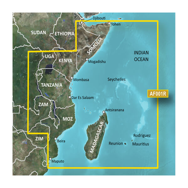
VAF001R-Eastern Africa
$429.00 Add to cartOverview
Our Advanced Chart Offering
- Derived from official charts and private sources to provide navigational aids, spot soundings, depth contours, tides and currents, and detailed harbors and marinas
- Depth Range Shading for up to 10 depth ranges enables you to view your target depth at a glance
- Up to 1-foot contours provide a more accurate depiction of the bottom structure for improved fishing charts and navigation in swamps, canals and marinas
- Shallow Water Shading feature allows for depth shading at a user-defined level to aid in navigation
- Worldwide coverage available
- Keep your charts up to date with our industry-leading New Chart Guarantee and discount card update program
Advanced Chart Detail
Detailed charts help the mariner guide their boat in and out of port with confidence.
Depth Range Shading
Displays high-resolution Depth Range Shading for up to 10 depth ranges so you can view your designated target depth.
Detailed Contours
BlueChart g3 HD features 1-foot contours that provide a more accurate depiction of bottom structure for improved fishing charts and enhanced detail in swamps, canals and port plans.
-
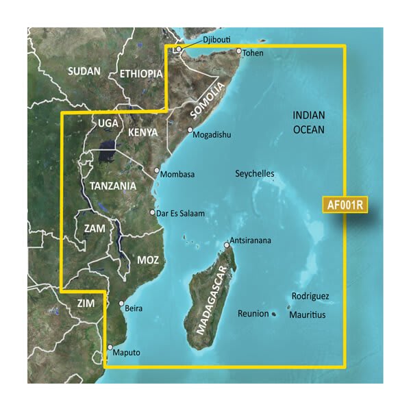
HXAF001R - Eastern Africa
$389.00 Add to cartOverview
Our Advanced Chart Offering
- Derived from official charts and private sources to provide navigational aids, spot soundings, depth contours, tides and currents, and detailed harbors and marinas
- Depth Range Shading for up to 10 depth ranges enables you to view your target depth at a glance
- Up to 1-foot contours provide a more accurate depiction of the bottom structure for improved fishing charts and navigation in swamps, canals and marinas
- Shallow Water Shading feature allows for depth shading at a user-defined level to aid in navigation
- Worldwide coverage available
- Keep your charts up to date with our industry-leading New Chart Guarantee and discount card update program
Advanced Chart Detail
Detailed charts help the mariner guide their boat in and out of port with confidence.
Depth Range Shading
Displays high-resolution Depth Range Shading for up to 10 depth ranges so you can view your designated target depth.
Detailed Contours
BlueChart g3 HD features 1-foot contours that provide a more accurate depiction of bottom structure for improved fishing charts and enhanced detail in swamps, canals and port plans.
-
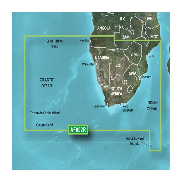
VAF002R-South Africa
$429.00 Add to cartOverview
Our Premium Chart Offering
- Derived from official charts and private sources to provide navigational aids, spot soundings, depth contours, tides and currents, and detailed harbors and marinas
- Garmin Auto Guidance technology shows a suggested route to a destination¹
- Depth Range Shading for up to 10 depth ranges enables you to view your target depth at a glance
- Up to 1-foot contours provide a more accurate depiction of the bottom structure for improved fishing charts and navigation
- Shallow Water Shading feature allows for depth shading at a user-defined level to aid in navigation
- Unique 3D views like MarinerEye and FishEye provide additional perspective both above and below the water line
- High-resolution satellite imagery of ports, marinas, bridges and navigational landmarks for superior situational awareness
- Worldwide coverage available
- Keep your charts up to date with our industry-leading New Chart Guarantee and discount card update program
Auto Guidance¹
Auto Guidance technology quickly calculates a suggested route using your boat's dimensions and a suggested path to follow.
High Resolution Relief Shading
This exceptional shading feature combines color and shadow to give you an easy-to-interpret view of bottom profile, making it easy to find artificial reefs, underwater shelves and more. High-resolution relief shading is available as a free downloadable feature via the ActiveCaptain® app.
Depth Range Shading
Displays high-resolution Depth Range Shading for up to 10 depth ranges so you can view your designated target depth.
Detailed Contours
BlueChart g3 Vision HD features 1-foot contours that provide a more accurate depiction of bottom structure for improved fishing charts and enhanced detail in swamps, canals and port plans.
MarinerEye View
Provides a 3-D representation of the ocean floor as seen from below the waterline.
FishEye View
Provides a 3-D representation of the surrounding area both above and below the waterline.
High-resolution Satellite Imagery
High-resolution satellite imagery with navigational charts overlaid gives you a realistic view of your surroundings so you can navigate with a clear moving-chart representation of your boat’s position. It’s our most realistic charting display in a chartplotter.
Aerial Photography
Crystal clear aerial photography shows exceptional detail of many ports, harbors and marinas and is ideal when entering unfamiliar ports.
-
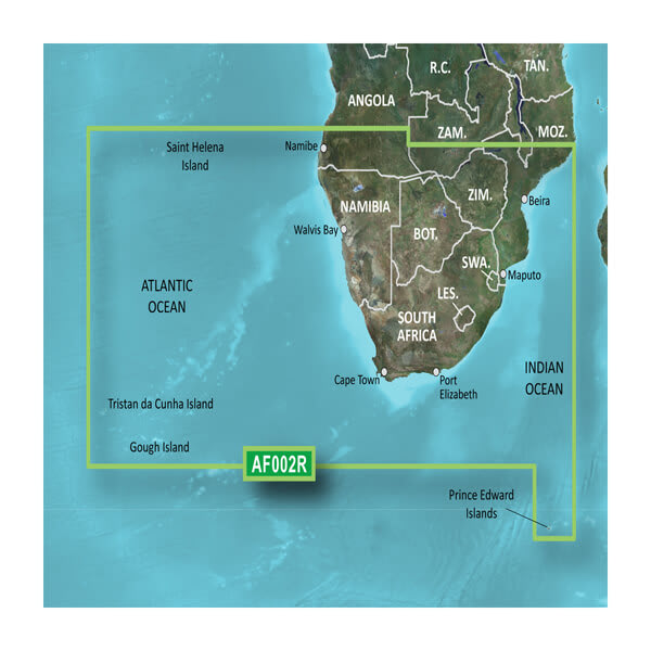
HXAF002R - South Africa
$389.00 Add to cartOverview
Our Premium Chart Offering
- Derived from official charts and private sources to provide navigational aids, spot soundings, depth contours, tides and currents, and detailed harbors and marinas
- Garmin Auto Guidance technology shows a suggested route to a destination¹
- Depth Range Shading for up to 10 depth ranges enables you to view your target depth at a glance
- Up to 1-foot contours provide a more accurate depiction of the bottom structure for improved fishing charts and navigation
- Shallow Water Shading feature allows for depth shading at a user-defined level to aid in navigation
- Unique 3D views like MarinerEye and FishEye provide additional perspective both above and below the water line
- High-resolution satellite imagery of ports, marinas, bridges and navigational landmarks for superior situational awareness
- Worldwide coverage available
- Keep your charts up to date with our industry-leading New Chart Guarantee and discount card update program
Auto Guidance¹
Auto Guidance technology quickly calculates a suggested route using your boat's dimensions and a suggested path to follow.
High Resolution Relief Shading
This exceptional shading feature combines color and shadow to give you an easy-to-interpret view of bottom profile, making it easy to find artificial reefs, underwater shelves and more. High-resolution relief shading is available as a free downloadable feature via the ActiveCaptain® app.
Depth Range Shading
Displays high-resolution Depth Range Shading for up to 10 depth ranges so you can view your designated target depth.
Detailed Contours
BlueChart g3 Vision HD features 1-foot contours that provide a more accurate depiction of bottom structure for improved fishing charts and enhanced detail in swamps, canals and port plans.
MarinerEye View
Provides a 3-D representation of the ocean floor as seen from below the waterline.
FishEye View
Provides a 3-D representation of the surrounding area both above and below the waterline.
High-resolution Satellite Imagery
High-resolution satellite imagery with navigational charts overlaid gives you a realistic view of your surroundings so you can navigate with a clear moving-chart representation of your boat’s position. It’s our most realistic charting display in a chartplotter.
Aerial Photography
Crystal clear aerial photography shows exceptional detail of many ports, harbors and marinas and is ideal when entering unfamiliar ports.
-
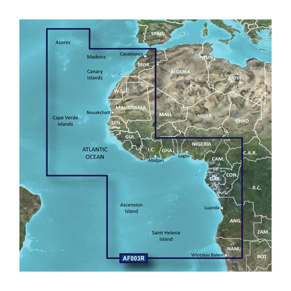
VAF003R-Western Africa
$429.00 Add to cartOverview
Our Premium Chart Offering
- Derived from official charts and private sources to provide navigational aids, spot soundings, depth contours, tides and currents, and detailed harbors and marinas
- Garmin Auto Guidance technology shows a suggested route to a destination¹
- Depth Range Shading for up to 10 depth ranges enables you to view your target depth at a glance
- Up to 1-foot contours provide a more accurate depiction of the bottom structure for improved fishing charts and navigation
- Shallow Water Shading feature allows for depth shading at a user-defined level to aid in navigation
- Unique 3D views like MarinerEye and FishEye provide additional perspective both above and below the water line
- High-resolution satellite imagery of ports, marinas, bridges and navigational landmarks for superior situational awareness
- Worldwide coverage available
- Keep your charts up to date with our industry-leading New Chart Guarantee and discount card update program
Auto Guidance¹
Auto Guidance technology quickly calculates a suggested route using your boat's dimensions and a suggested path to follow.
Depth Range Shading
Displays high-resolution Depth Range Shading for up to 10 depth ranges so you can view your designated target depth.
Detailed Contours
BlueChart g3 Vision HD features 1-foot contours that provide a more accurate depiction of bottom structure for improved fishing charts and enhanced detail in swamps, canals and port plans.
MarinerEye View
Provides a 3-D representation of the ocean floor as seen from below the waterline.
FishEye View
Provides a 3-D representation of the surrounding area both above and below the waterline.
High-resolution Satellite Imagery
High-resolution satellite imagery with navigational charts overlaid gives you a realistic view of your surroundings so you can navigate with a clear moving-chart representation of your boat’s position. It’s our most realistic charting display in a chartplotter.
Aerial Photography
Crystal clear aerial photography shows exceptional detail of many ports, harbors and marinas and is ideal when entering unfamiliar ports.
-

HXAF003R - Western Africa
$219.00 Add to cartOverview
Our Premium Chart Offering
- Derived from official charts and private sources to provide navigational aids, spot soundings, depth contours, tides and currents, and detailed harbors and marinas
- Garmin Auto Guidance technology shows a suggested route to a destination¹
- Depth Range Shading for up to 10 depth ranges enables you to view your target depth at a glance
- Up to 1-foot contours provide a more accurate depiction of the bottom structure for improved fishing charts and navigation
- Shallow Water Shading feature allows for depth shading at a user-defined level to aid in navigation
- Unique 3D views like MarinerEye and FishEye provide additional perspective both above and below the water line
- High-resolution satellite imagery of ports, marinas, bridges and navigational landmarks for superior situational awareness
- Worldwide coverage available
- Keep your charts up to date with our industry-leading New Chart Guarantee and discount card update program
Auto Guidance¹
Auto Guidance technology quickly calculates a suggested route using your boat's dimensions and a suggested path to follow.
Depth Range Shading
Displays high-resolution Depth Range Shading for up to 10 depth ranges so you can view your designated target depth.
Detailed Contours
BlueChart g3 Vision HD features 1-foot contours that provide a more accurate depiction of bottom structure for improved fishing charts and enhanced detail in swamps, canals and port plans.
MarinerEye View
Provides a 3-D representation of the ocean floor as seen from below the waterline.
FishEye View
Provides a 3-D representation of the surrounding area both above and below the waterline.
High-resolution Satellite Imagery
High-resolution satellite imagery with navigational charts overlaid gives you a realistic view of your surroundings so you can navigate with a clear moving-chart representation of your boat’s position. It’s our most realistic charting display in a chartplotter.
Aerial Photography
Crystal clear aerial photography shows exceptional detail of many ports, harbors and marinas and is ideal when entering unfamiliar ports.
-
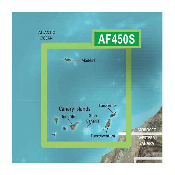
VAF450S-Madeira and Canary Islands
$299.00 Add to cartOverview
Our Premium Chart Offering
- Derived from official charts and private sources to provide navigational aids, spot soundings, depth contours, tides and currents, and detailed harbors and marinas
- Garmin Auto Guidance technology shows a suggested route to a destination¹
- Depth Range Shading for up to 10 depth ranges enables you to view your target depth at a glance
- Up to 1-foot contours provide a more accurate depiction of the bottom structure for improved fishing charts and navigation
- Shallow Water Shading feature allows for depth shading at a user-defined level to aid in navigation
- Unique 3D views like MarinerEye and FishEye provide additional perspective both above and below the water line
- High-resolution satellite imagery of ports, marinas, bridges and navigational landmarks for superior situational awareness
- Worldwide coverage available
- Keep your charts up to date with our industry-leading New Chart Guarantee and discount card update program
Auto Guidance¹
Auto Guidance technology quickly calculates a suggested route using your boat's dimensions and a suggested path to follow.
Depth Range Shading
Displays high-resolution Depth Range Shading for up to 10 depth ranges so you can view your designated target depth.
Detailed Contours
BlueChart g3 Vision HD features 1-foot contours that provide a more accurate depiction of bottom structure for improved fishing charts and enhanced detail in swamps, canals and port plans.
MarinerEye View
Provides a 3-D representation of the ocean floor as seen from below the waterline.
FishEye View
Provides a 3-D representation of the surrounding area both above and below the waterline.
High-resolution Satellite Imagery
High-resolution satellite imagery with navigational charts overlaid gives you a realistic view of your surroundings so you can navigate with a clear moving-chart representation of your boat’s position. It’s our most realistic charting display in a chartplotter.
Aerial Photography
Crystal clear aerial photography shows exceptional detail of many ports, harbors and marinas and is ideal when entering unfamiliar ports.
-
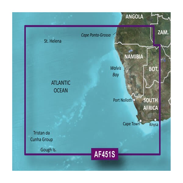
VAF451S-Namibia to Knysna, SA
$299.00 Add to cartOverview
Our Premium Chart Offering
- Derived from official charts and private sources to provide navigational aids, spot soundings, depth contours, tides and currents, and detailed harbors and marinas
- Garmin Auto Guidance technology shows a suggested route to a destination¹
- Depth Range Shading for up to 10 depth ranges enables you to view your target depth at a glance
- Up to 1-foot contours provide a more accurate depiction of the bottom structure for improved fishing charts and navigation
- Shallow Water Shading feature allows for depth shading at a user-defined level to aid in navigation
- Unique 3D views like MarinerEye and FishEye provide additional perspective both above and below the water line
- High-resolution satellite imagery of ports, marinas, bridges and navigational landmarks for superior situational awareness
- Worldwide coverage available
- Keep your charts up to date with our industry-leading New Chart Guarantee and discount card update program
Auto Guidance¹
Auto Guidance technology quickly calculates a suggested route using your boat's dimensions and a suggested path to follow.
Depth Range Shading
Displays high-resolution Depth Range Shading for up to 10 depth ranges so you can view your designated target depth.
Detailed Contours
BlueChart g3 Vision HD features 1-foot contours that provide a more accurate depiction of bottom structure for improved fishing charts and enhanced detail in swamps, canals and port plans.
MarinerEye View
Provides a 3-D representation of the ocean floor as seen from below the waterline.
FishEye View
Provides a 3-D representation of the surrounding area both above and below the waterline.
High-resolution Satellite Imagery
High-resolution satellite imagery with navigational charts overlaid gives you a realistic view of your surroundings so you can navigate with a clear moving-chart representation of your boat’s position. It’s our most realistic charting display in a chartplotter.
Aerial Photography
Crystal clear aerial photography shows exceptional detail of many ports, harbors and marinas and is ideal when entering unfamiliar ports.
-
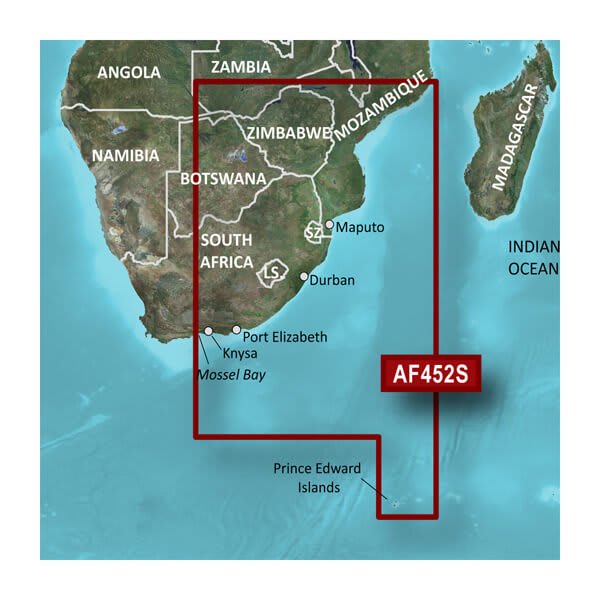
VAF452S-Knysna, SA to Beira, MZ
$299.00 Add to cartOverview
Our Premium Chart Offering
- Derived from official charts and private sources to provide navigational aids, spot soundings, depth contours, tides and currents, and detailed harbors and marinas
- Garmin Auto Guidance technology shows a suggested route to a destination¹
- Depth Range Shading for up to 10 depth ranges enables you to view your target depth at a glance
- Up to 1-foot contours provide a more accurate depiction of the bottom structure for improved fishing charts and navigation
- Shallow Water Shading feature allows for depth shading at a user-defined level to aid in navigation
- Unique 3D views like MarinerEye and FishEye provide additional perspective both above and below the water line
- High-resolution satellite imagery of ports, marinas, bridges and navigational landmarks for superior situational awareness
- Worldwide coverage available
- Keep your charts up to date with our industry-leading New Chart Guarantee and discount card update program
Auto Guidance¹
Auto Guidance technology quickly calculates a suggested route using your boat's dimensions and a suggested path to follow.
High Resolution Relief Shading
This exceptional shading feature combines color and shadow to give you an easy-to-interpret view of bottom profile, making it easy to find artificial reefs, underwater shelves and more. High-resolution relief shading is available as a free downloadable feature via the ActiveCaptain® app.
Depth Range Shading
Displays high-resolution Depth Range Shading for up to 10 depth ranges so you can view your designated target depth.
Detailed Contours
BlueChart g3 Vision HD features 1-foot contours that provide a more accurate depiction of bottom structure for improved fishing charts and enhanced detail in swamps, canals and port plans.
MarinerEye View
Provides a 3-D representation of the ocean floor as seen from below the waterline.
FishEye View
Provides a 3-D representation of the surrounding area both above and below the waterline.
High-resolution Satellite Imagery
High-resolution satellite imagery with navigational charts overlaid gives you a realistic view of your surroundings so you can navigate with a clear moving-chart representation of your boat’s position. It’s our most realistic charting display in a chartplotter.
Aerial Photography
Crystal clear aerial photography shows exceptional detail of many ports, harbors and marinas and is ideal when entering unfamiliar ports.
-
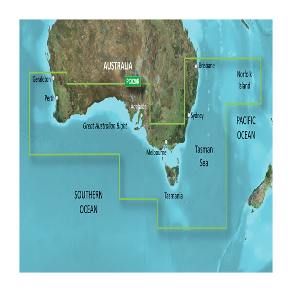
VPC020R-Brisbane SW to Geraldton
$429.00 Add to cartOverview
Our Premium Chart Offering
- Derived from official charts and private sources to provide navigational aids, spot soundings, depth contours, tides and currents, and detailed harbors and marinas
- Garmin Auto Guidance technology shows a suggested route to a destination¹
- Depth Range Shading for up to 10 depth ranges enables you to view your target depth at a glance
- Up to 1-foot contours provide a more accurate depiction of the bottom structure for improved fishing charts and navigation
- Shallow Water Shading feature allows for depth shading at a user-defined level to aid in navigation
- Unique 3D views like MarinerEye and FishEye provide additional perspective both above and below the water line
- High-resolution satellite imagery of ports, marinas, bridges and navigational landmarks for superior situational awareness
- Worldwide coverage available
- Keep your charts up to date with our industry-leading New Chart Guarantee and discount card update program
Get a Fresh Perspective
Get a fresh perspective when you take to the water with BlueChart® g2 Vision®. With BlueChart g2 Vision data, you’ll get detailed marine cartography that provides convenient viewing of nautical content and other premium features. BlueChart g2 Vision allows you to see your vessel’s precise, on-chart position in relation to naviads, coastal features, anchorages, obstructions, waterways, restricted areas and more. You will also have access to detailed mapping capabilities that include Safety Shading, Fishing Charts, smooth data transition between zoom levels, harmonious transition across chart borders, and reduction of chart discontinuities. Premium features include 3-D perspective above and below the waterline, Auto Guidance, high-resolution imagery, and “real picture” aerial photos of ports, harbors, marinas, waterways, landmarks and other points of interest. It’s the most realistic mapping display Garmin has ever offered.
Click the Products tab to see if this map is compatible with your Garmin device.
-
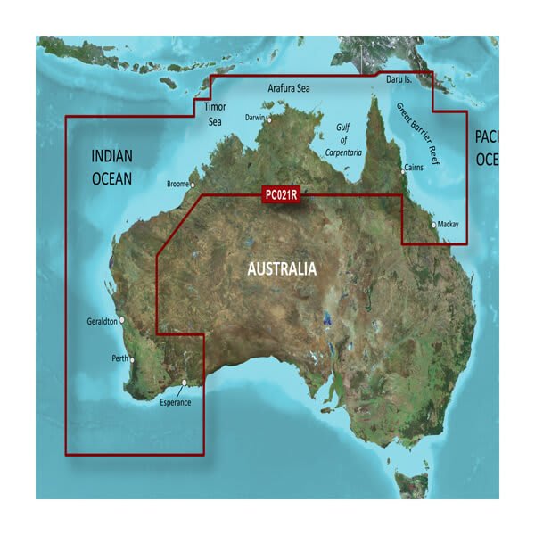
VPC021R-Mackay NW to Esperance
$429.00 Add to cartOverview
Our Premium Chart Offering
- Derived from official charts and private sources to provide navigational aids, spot soundings, depth contours, tides and currents, and detailed harbors and marinas
- Garmin Auto Guidance technology shows a suggested route to a destination¹
- Depth Range Shading for up to 10 depth ranges enables you to view your target depth at a glance
- Up to 1-foot contours provide a more accurate depiction of the bottom structure for improved fishing charts and navigation
- Shallow Water Shading feature allows for depth shading at a user-defined level to aid in navigation
- Unique 3D views like MarinerEye and FishEye provide additional perspective both above and below the water line
- High-resolution satellite imagery of ports, marinas, bridges and navigational landmarks for superior situational awareness
- Worldwide coverage available
- Keep your charts up to date with our industry-leading New Chart Guarantee and discount card update program
Get a Fresh Perspective
Get a fresh perspective when you take to the water with BlueChart® g2 Vision®. With BlueChart g2 Vision data, you’ll get detailed marine cartography that provides convenient viewing of nautical content and other premium features. BlueChart g2 Vision allows you to see your vessel’s precise, on-chart position in relation to naviads, coastal features, anchorages, obstructions, waterways, restricted areas and more. You will also have access to detailed mapping capabilities that include Safety Shading, Fishing Charts, smooth data transition between zoom levels, harmonious transition across chart borders, and reduction of chart discontinuities. Premium features include 3-D perspective above and below the waterline, Auto Guidance, high-resolution imagery, and “real picture” aerial photos of ports, harbors, marinas, waterways, landmarks and other points of interest. It’s the most realistic mapping display Garmin has ever offered.
Click the Products tab to see if this map is compatible with your Garmin device.
-
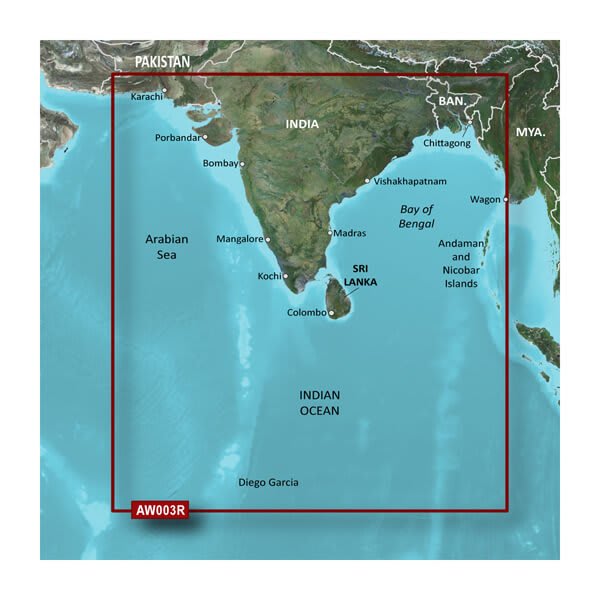
VAW003R-Indian Subcontinent
$429.00 Add to cartOverview
Our Advanced Chart Offering
- Derived from official charts and private sources to provide navigational aids, spot soundings, depth contours, tides and currents, and detailed harbors and marinas
- Depth Range Shading for up to 10 depth ranges enables you to view your target depth at a glance
- Up to 1-foot contours provide a more accurate depiction of the bottom structure for improved fishing charts and navigation in swamps, canals and marinas
- Shallow Water Shading feature allows for depth shading at a user-defined level to aid in navigation
- Worldwide coverage available
- Keep your charts up to date with our industry-leading New Chart Guarantee and discount card update program
Advanced Chart Detail
Detailed charts help the mariner guide their boat in and out of port with confidence.
Depth Range Shading
Displays high-resolution Depth Range Shading for up to 10 depth ranges so you can view your designated target depth.
Detailed Contours
BlueChart g3 HD features 1-foot contours that provide a more accurate depiction of bottom structure for improved fishing charts and enhanced detail in swamps, canals and port plans.
-
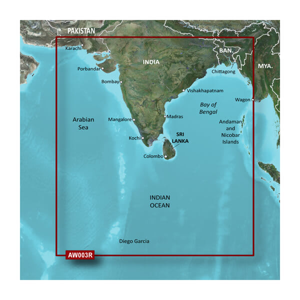
HXAW003R - Indian Subcontinent
$219.00 Add to cartOverview
Our Advanced Chart Offering
- Derived from official charts and private sources to provide navigational aids, spot soundings, depth contours, tides and currents, and detailed harbors and marinas
- Depth Range Shading for up to 10 depth ranges enables you to view your target depth at a glance
- Up to 1-foot contours provide a more accurate depiction of the bottom structure for improved fishing charts and navigation in swamps, canals and marinas
- Shallow Water Shading feature allows for depth shading at a user-defined level to aid in navigation
- Worldwide coverage available
- Keep your charts up to date with our industry-leading New Chart Guarantee and discount card update program
Advanced Chart Detail
Detailed charts help the mariner guide their boat in and out of port with confidence.
Depth Range Shading
Displays high-resolution Depth Range Shading for up to 10 depth ranges so you can view your designated target depth.
Detailed Contours
BlueChart g3 HD features 1-foot contours that provide a more accurate depiction of bottom structure for improved fishing charts and enhanced detail in swamps, canals and port plans.
-
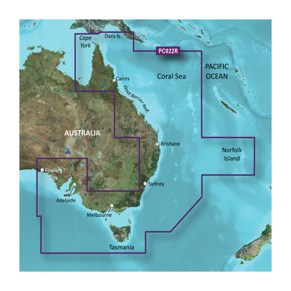
VPC022R-East Coast Australia
$429.00 Add to cartOverview
Our Premium Chart Offering
- Derived from official charts and private sources to provide navigational aids, spot soundings, depth contours, tides and currents, and detailed harbors and marinas
- Garmin Auto Guidance technology shows a suggested route to a destination¹
- Relief shading images
- Depth Range Shading for up to 10 depth ranges enables you to view your target depth at a glance
- Up to 1-foot contours provide a more accurate depiction of the bottom structure for improved fishing charts and navigation
- Shallow Water Shading feature allows for depth shading at a user-defined level to aid in navigation
- Unique 3D views like MarinerEye and FishEye provide additional perspective both above and below the water line
- High-resolution satellite imagery of ports, marinas, bridges and navigational landmarks for superior situational awareness
- Worldwide coverage available
- Keep your charts up to date with our industry-leading New Chart Guarantee and discount card update program
Get a Fresh Perspective
Get a fresh perspective when you take to the water with BlueChart® g3 Vision®. With BlueChart g3 Vision data, you’ll get detailed marine cartography that provides convenient viewing of nautical content and other premium features. BlueChart g3 Vision allows you to see your vessel’s precise, on-chart position in relation to naviads, coastal features, anchorages, obstructions, waterways, restricted areas and more. You will also have access to detailed mapping capabilities that include Safety Shading, Fishing Charts, smooth data transition between zoom levels, harmonious transition across chart borders, and reduction of chart discontinuities. Premium features include 3-D perspective above and below the waterline, Relief Shading Images, Auto Guidance, high-resolution imagery, and “real picture” aerial photos of ports, harbors, marinas, waterways, landmarks and other points of interest. It’s the most realistic mapping display Garmin has ever offered.
Click the Products tab to see if this map is compatible with your Garmin device.
-
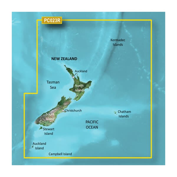
VPC023R- g3 New Zealand
$429.00 Add to cartOverview
Our Premium Chart Offering
- Derived from official charts and private sources to provide navigational aids, spot soundings, depth contours, tides and currents, and detailed harbors and marinas
- Garmin Auto Guidance technology shows a suggested route to a destination¹
- Depth Range Shading for up to 10 depth ranges enables you to view your target depth at a glance
- Up to 1-foot contours provide a more accurate depiction of the bottom structure for improved fishing charts and navigation
- Shallow Water Shading feature allows for depth shading at a user-defined level to aid in navigation
- Unique 3D views like MarinerEye and FishEye provide additional perspective both above and below the water line
- High-resolution satellite imagery of ports, marinas, bridges and navigational landmarks for superior situational awareness
- Worldwide coverage available
- Keep your charts up to date with our industry-leading New Chart Guarantee and discount card update program
Get a Fresh Perspective
Get a fresh perspective when you take to the water with BlueChart® g2 Vision®. With BlueChart g2 Vision data, you’ll get detailed marine cartography that provides convenient viewing of nautical content and other premium features. BlueChart g2 Vision allows you to see your vessel’s precise, on-chart position in relation to naviads, coastal features, anchorages, obstructions, waterways, restricted areas and more. You will also have access to detailed mapping capabilities that include Safety Shading, Fishing Charts, smooth data transition between zoom levels, harmonious transition across chart borders, and reduction of chart discontinuities. Premium features include 3-D perspective above and below the waterline, Auto Guidance, high-resolution imagery, and “real picture” aerial photos of ports, harbors, marinas, waterways, landmarks and other points of interest. It’s the most realistic mapping display Garmin has ever offered.
Click the Products tab to see if this map is compatible with your Garmin device.
-
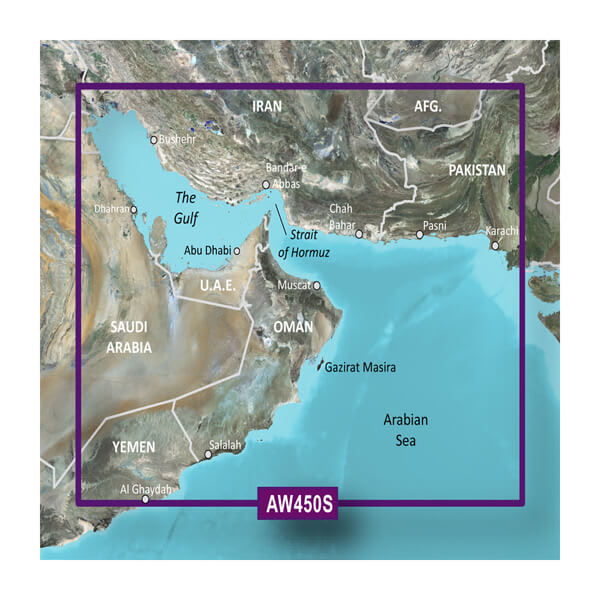
VAW450S-The Gulf
$299.00 Add to cartOverview
Our Premium Chart Offering
- Derived from official charts and private sources to provide navigational aids, spot soundings, depth contours, tides and currents, and detailed harbors and marinas
- Garmin Auto Guidance technology shows a suggested route to a destination¹
- Depth Range Shading for up to 10 depth ranges enables you to view your target depth at a glance
- Up to 1-foot contours provide a more accurate depiction of the bottom structure for improved fishing charts and navigation
- Shallow Water Shading feature allows for depth shading at a user-defined level to aid in navigation
- Unique 3D views like MarinerEye and FishEye provide additional perspective both above and below the water line
- High-resolution satellite imagery of ports, marinas, bridges and navigational landmarks for superior situational awareness
- Worldwide coverage available
- Keep your charts up to date with our industry-leading New Chart Guarantee and discount card update program
Auto Guidance¹
Auto Guidance technology quickly calculates a suggested route using your boat's dimensions and a suggested path to follow.
Depth Range Shading
Displays high-resolution Depth Range Shading for up to 10 depth ranges so you can view your designated target depth.
Detailed Contours
BlueChart g3 Vision HD features 1-foot contours that provide a more accurate depiction of bottom structure for improved fishing charts and enhanced detail in swamps, canals and port plans.
MarinerEye View
Provides a 3-D representation of the ocean floor as seen from below the waterline.
FishEye View
Provides a 3-D representation of the surrounding area both above and below the waterline.
High-resolution Satellite Imagery
High-resolution satellite imagery with navigational charts overlaid gives you a realistic view of your surroundings so you can navigate with a clear moving-chart representation of your boat’s position. It’s our most realistic charting display in a chartplotter.
Aerial Photography
Crystal clear aerial photography shows exceptional detail of many ports, harbors and marinas and is ideal when entering unfamiliar ports.
-
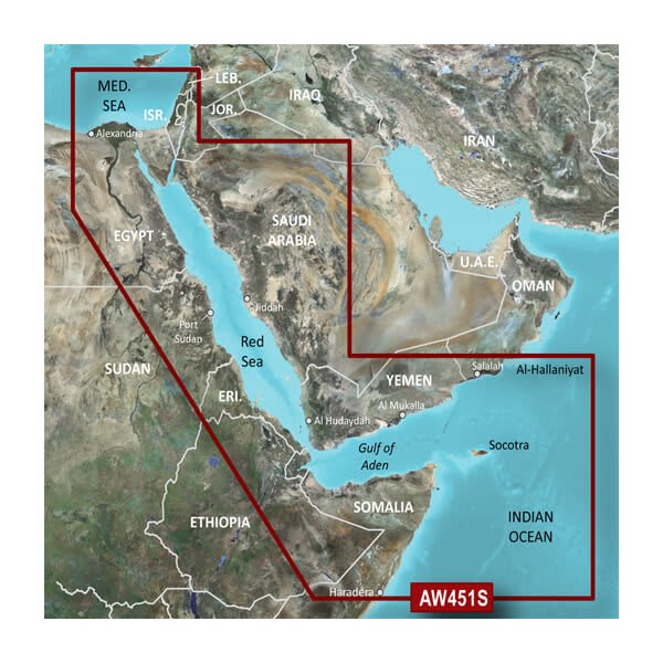
VAW451S-Red Sea
$299.00 Add to cartOverview
Our Premium Chart Offering
- Derived from official charts and private sources to provide navigational aids, spot soundings, depth contours, tides and currents, and detailed harbors and marinas
- Garmin Auto Guidance technology shows a suggested route to a destination¹
- Depth Range Shading for up to 10 depth ranges enables you to view your target depth at a glance
- Up to 1-foot contours provide a more accurate depiction of the bottom structure for improved fishing charts and navigation
- Shallow Water Shading feature allows for depth shading at a user-defined level to aid in navigation
- Unique 3D views like MarinerEye and FishEye provide additional perspective both above and below the water line
- High-resolution satellite imagery of ports, marinas, bridges and navigational landmarks for superior situational awareness
- Worldwide coverage available
- Keep your charts up to date with our industry-leading New Chart Guarantee and discount card update program
Auto Guidance¹
Auto Guidance technology quickly calculates a suggested route using your boat's dimensions and a suggested path to follow.
Depth Range Shading
Displays high-resolution Depth Range Shading for up to 10 depth ranges so you can view your designated target depth.
Detailed Contours
BlueChart g3 Vision HD features 1-foot contours that provide a more accurate depiction of bottom structure for improved fishing charts and enhanced detail in swamps, canals and port plans.
MarinerEye View
Provides a 3-D representation of the ocean floor as seen from below the waterline.
FishEye View
Provides a 3-D representation of the surrounding area both above and below the waterline.
High-resolution Satellite Imagery
High-resolution satellite imagery with navigational charts overlaid gives you a realistic view of your surroundings so you can navigate with a clear moving-chart representation of your boat’s position. It’s our most realistic charting display in a chartplotter.
Aerial Photography
Crystal clear aerial photography shows exceptional detail of many ports, harbors and marinas and is ideal when entering unfamiliar ports.
-
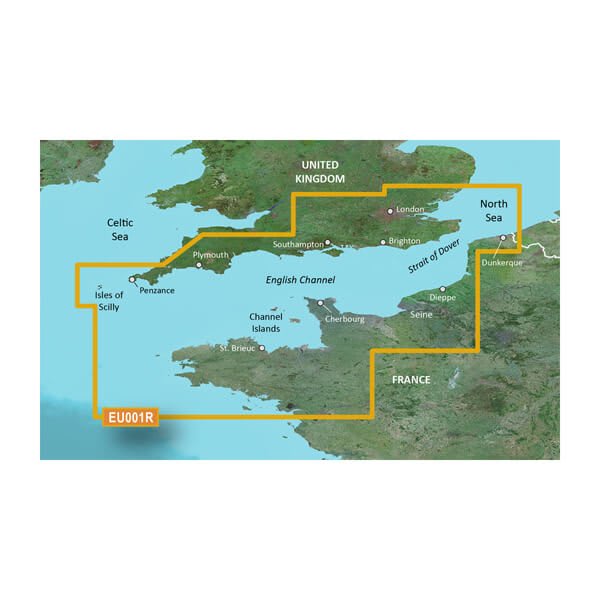
VEU001R-English Channel
$429.00 Add to cartOverview
Unparalleled Coastal Chart Coverage
- Provides industry-leading coverage, clarity and detail with updated coastal charts that feature integrated Garmin and Navionics® data
- Auto Guidance¹ technology calculates a route using your desired depth and overhead clearance and provides a suggested path to follow
- Includes Depth Range Shading for up to 10 depth ranges, enabling you to view your target depth at a glance
- Up to 1’ contours provide a more accurate depiction of the bottom structure for improved fishing charts and navigation in swamps, canals and marinas
- NOAA raster cartography is available as a free downloadable feature via the ActiveCaptain® app
BlueChart g3 coastal charts provide industry-leading coverage, clarity and detail with integrated Garmin and Navionics data. Also included is Auto Guidance1 technology, which uses your desired depth and overhead clearance to calculate routes and provide a suggested path to follow — overlaid onto your chart. NOAA raster cartography is also available as a free downloadable feature via the ActiveCaptain app. It gives your chartplotter paper chartlike views of NOAA-surveyed areas in which individual points of interest are labeled with corresponding longitude and latitude information. Worldwide coverage is available by regions as accessory cards or via download; each region is sold separately.
Auto Guidance Technology
The Auto Guidance feature¹ calculates a suggested route using your desired depth and overhead clearance.
Depth Range Shading
This feature displays high-resolution Depth Range Shading for up to 10 depth ranges so you can view your designated target depth.
Detailed Contours
BlueChart g3 charts feature 1’ contours that provide a more accurate depiction of bottom structure for improved fishing charts and enhanced detail in swamps, canals and port plans.
Shallow Water Shading
To aid in navigation, Shallow Water Shading allows map shading at a user-defined depth to give a clear picture of shallow waters to avoid.
NOAA Raster Cartography
This feature gives your chartplotter paper chartlike views of NOAA-surveyed areas in which points of interest are labeled with corresponding longitude and latitude information.
¹Auto Guidance is for planning purposes only and does not replace safe navigation practices. Auto Guidance is not included in preloaded BlueChart g3 for ECHOMAP™ Plus series chartplotters
-
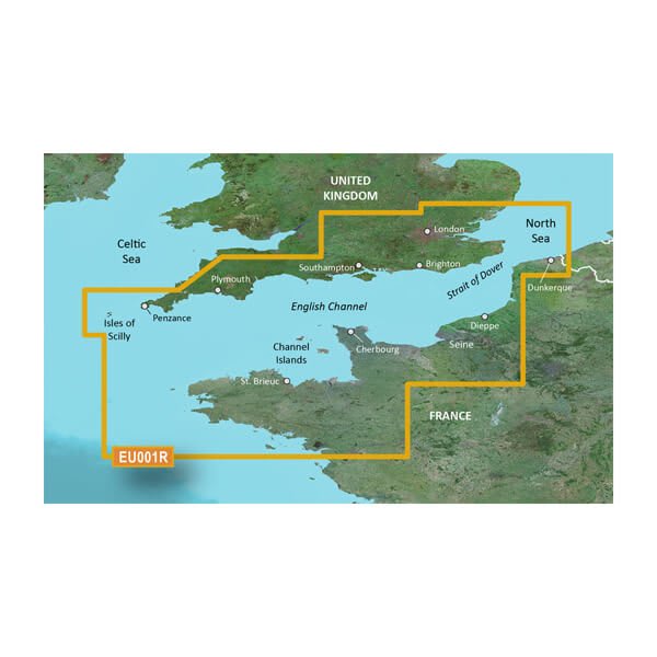
HXEU001R - English Channel
$219.00 Add to cartOverview
Unparalleled Coastal Chart Coverage
- Provides industry-leading coverage, clarity and detail with updated coastal charts that feature integrated Garmin and Navionics® data
- Auto Guidance¹ technology calculates a route using your desired depth and overhead clearance and provides a suggested path to follow
- Includes Depth Range Shading for up to 10 depth ranges, enabling you to view your target depth at a glance
- Up to 1’ contours provide a more accurate depiction of the bottom structure for improved fishing charts and navigation in swamps, canals and marinas
- NOAA raster cartography is available as a free downloadable feature via the ActiveCaptain® app
BlueChart g3 coastal charts provide industry-leading coverage, clarity and detail with integrated Garmin and Navionics data. Also included is Auto Guidance1 technology, which uses your desired depth and overhead clearance to calculate routes and provide a suggested path to follow — overlaid onto your chart. NOAA raster cartography is also available as a free downloadable feature via the ActiveCaptain app. It gives your chartplotter paper chartlike views of NOAA-surveyed areas in which individual points of interest are labeled with corresponding longitude and latitude information. Worldwide coverage is available by regions as accessory cards or via download; each region is sold separately.
Auto Guidance Technology
The Auto Guidance feature¹ calculates a suggested route using your desired depth and overhead clearance.
Depth Range Shading
This feature displays high-resolution Depth Range Shading for up to 10 depth ranges so you can view your designated target depth.
Detailed Contours
BlueChart g3 charts feature 1’ contours that provide a more accurate depiction of bottom structure for improved fishing charts and enhanced detail in swamps, canals and port plans.
Shallow Water Shading
To aid in navigation, Shallow Water Shading allows map shading at a user-defined depth to give a clear picture of shallow waters to avoid.
NOAA Raster Cartography
This feature gives your chartplotter paper chartlike views of NOAA-surveyed areas in which points of interest are labeled with corresponding longitude and latitude information.
¹Auto Guidance is for planning purposes only and does not replace safe navigation practices. Auto Guidance is not included in preloaded BlueChart g3 for ECHOMAP™ Plus series chartplotters
-
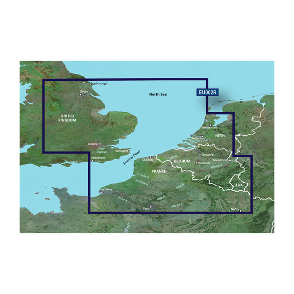
VEU002R-S/E UK-Belux Inland Waters
$429.00 Add to cartOverview
Premier charts
- Provides exceptional coverage, clarity and detail with coastal charts that feature integrated Garmin and Navionics® data
- Auto Guidance1 technology quickly calculates a suggested route by using your desired depth and overhead clearance and provides a suggested path to follow
- Certain areas offer Relief Shading (downloadable via the ActiveCaptain App), which combines colour and shadow to give you an easy-to-interpret, clearer view of bottom structure
- Includes Depth Range Shading for up to 10 depth ranges, enabling you to view your target depth at a glance
- Up to 30 cm (1 ft) contours provide a more accurate depiction of the bottom structure for improved fishing charts
- To give a clear picture of shallow waters to avoid, the Shallow Water Shading feature allows for shading at a user-defined depth
Experience unparalleled coverage and brilliant detail when you're on the water. BlueChart® g3 Vision charts provide industry-leading coverage, clarity and detail with integrated Garmin and Navionics content.
Auto Guidance
Whether you are fishing or cruising, select a spot, and get a route showing you the general path and nearby obstructions at a safe depth1.
Relief shading
Available for the U.K., Ireland, Belgium, France, Germany, the Netherlands and Norway, this exceptional shading feature combines colour and shadow to give you an easy-to-interpret view of bottom profile, making it easy to find artificial reefs, underwater shelves and more. Relief Shading is available via download from the ActiveCaptain® app.
Depth Range Shading
This feature displays high-resolution Depth Range Shading for up to 10 depth ranges so you can view your designated target depth.
Shallow Water Shading
To give a clear picture of shallow waters to avoid, this feature allows for shading at a user-defined depth.
Detailed contours
BlueChart g3 charts feature 30 cm (1 ft) contours that provide a more accurate depiction of bottom structure for improved fishing charts and enhanced detail in swamps, canals and port plans.
High-resolution satellite imagery
High-resolution satellite imagery with navigational charts overlaid gives you a realistic view of your surroundings. It's our most realistic charting display in a chartplotter — ideal for entering unfamiliar harbours or ports.
FishEye view
This underwater perspective shows 3D representation of bottom and contours as seen from below the waterline. Interface with sonar data for a customised view.
MarinerEye view
This view provides a 3D representation of the surrounding area both above and below the waterline.
Aerial photography
Crystal-clear aerial photography shows exceptional detail of many ports, harbours and marinas and is ideal when entering unfamiliar ports.
1Auto Guidance is for planning purposes only and does not replace safe navigation practices.
-
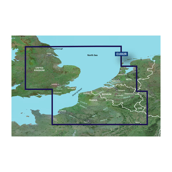
HXEU002R - S/E UK-Belux Inland Waters
$219.00 Add to cartOverview
Premier charts
- Provides exceptional coverage, clarity and detail with coastal charts that feature integrated Garmin and Navionics® data
- Auto Guidance1 technology quickly calculates a suggested route by using your desired depth and overhead clearance and provides a suggested path to follow
- Certain areas offer Relief Shading (downloadable via the ActiveCaptain App), which combines colour and shadow to give you an easy-to-interpret, clearer view of bottom structure
- Includes Depth Range Shading for up to 10 depth ranges, enabling you to view your target depth at a glance
- Up to 30 cm (1 ft) contours provide a more accurate depiction of the bottom structure for improved fishing charts
- To give a clear picture of shallow waters to avoid, the Shallow Water Shading feature allows for shading at a user-defined depth
Experience unparalleled coverage and brilliant detail when you're on the water. BlueChart® g3 Vision charts provide industry-leading coverage, clarity and detail with integrated Garmin and Navionics content.
Auto Guidance
Whether you are fishing or cruising, select a spot, and get a route showing you the general path and nearby obstructions at a safe depth1.
Relief shading
Available for the U.K., Ireland, Belgium, France, Germany, the Netherlands and Norway, this exceptional shading feature combines colour and shadow to give you an easy-to-interpret view of bottom profile, making it easy to find artificial reefs, underwater shelves and more. Relief Shading is available via download from the ActiveCaptain® app.
Depth Range Shading
This feature displays high-resolution Depth Range Shading for up to 10 depth ranges so you can view your designated target depth.
Shallow Water Shading
To give a clear picture of shallow waters to avoid, this feature allows for shading at a user-defined depth.
Detailed contours
BlueChart g3 charts feature 30 cm (1 ft) contours that provide a more accurate depiction of bottom structure for improved fishing charts and enhanced detail in swamps, canals and port plans.
High-resolution satellite imagery
High-resolution satellite imagery with navigational charts overlaid gives you a realistic view of your surroundings. It's our most realistic charting display in a chartplotter — ideal for entering unfamiliar harbours or ports.
FishEye view
This underwater perspective shows 3D representation of bottom and contours as seen from below the waterline. Interface with sonar data for a customised view.
MarinerEye view
This view provides a 3D representation of the surrounding area both above and below the waterline.
Aerial photography
Crystal-clear aerial photography shows exceptional detail of many ports, harbours and marinas and is ideal when entering unfamiliar ports.
1Auto Guidance is for planning purposes only and does not replace safe navigation practices.
-
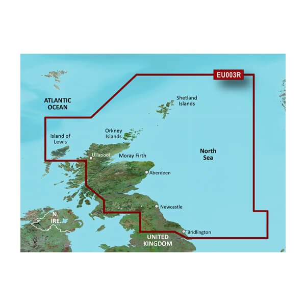
VEU003R-Great Britain, Northeast Coast
$429.00 Add to cartOverview
Premier charts
- Provides exceptional coverage, clarity and detail with coastal charts that feature integrated Garmin and Navionics® data
- Auto Guidance1 technology quickly calculates a suggested route by using your desired depth and overhead clearance and provides a suggested path to follow
- Certain areas offer Relief Shading (downloadable via the ActiveCaptain App), which combines colour and shadow to give you an easy-to-interpret, clearer view of bottom structure
- Includes Depth Range Shading for up to 10 depth ranges, enabling you to view your target depth at a glance
- Up to 30 cm (1 ft) contours provide a more accurate depiction of the bottom structure for improved fishing charts
- To give a clear picture of shallow waters to avoid, the Shallow Water Shading feature allows for shading at a user-defined depth
Experience unparalleled coverage and brilliant detail when you're on the water. BlueChart® g3 Vision charts provide industry-leading coverage, clarity and detail with integrated Garmin and Navionics content.
Auto Guidance
Whether you are fishing or cruising, select a spot, and get a route showing you the general path and nearby obstructions at a safe depth1.
Relief shading
Available for the U.K., Ireland, Belgium, France, Germany, the Netherlands and Norway, this exceptional shading feature combines colour and shadow to give you an easy-to-interpret view of bottom profile, making it easy to find artificial reefs, underwater shelves and more. Relief Shading is available via download from the ActiveCaptain® app.
Depth Range Shading
This feature displays high-resolution Depth Range Shading for up to 10 depth ranges so you can view your designated target depth.
Shallow Water Shading
To give a clear picture of shallow waters to avoid, this feature allows for shading at a user-defined depth.
Detailed contours
BlueChart g3 charts feature 30 cm (1 ft) contours that provide a more accurate depiction of bottom structure for improved fishing charts and enhanced detail in swamps, canals and port plans.
High-resolution satellite imagery
High-resolution satellite imagery with navigational charts overlaid gives you a realistic view of your surroundings. It's our most realistic charting display in a chartplotter — ideal for entering unfamiliar harbours or ports.
FishEye view
This underwater perspective shows 3D representation of bottom and contours as seen from below the waterline. Interface with sonar data for a customised view.
MarinerEye view
This view provides a 3D representation of the surrounding area both above and below the waterline.
Aerial photography
Crystal-clear aerial photography shows exceptional detail of many ports, harbours and marinas and is ideal when entering unfamiliar ports.
1Auto Guidance is for planning purposes only and does not replace safe navigation practices.
-
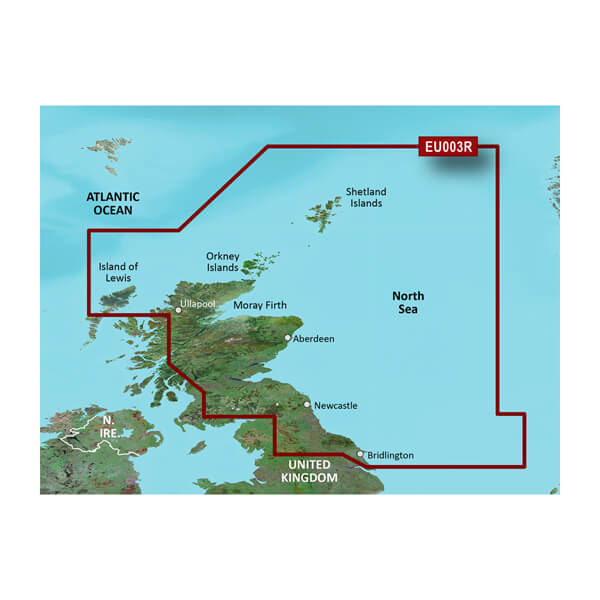
HXEU003R - Great Britain, Northeast Coast
$219.00 Add to cartOverview
Premier charts
- Provides exceptional coverage, clarity and detail with coastal charts that feature integrated Garmin and Navionics® data
- Auto Guidance1 technology quickly calculates a suggested route by using your desired depth and overhead clearance and provides a suggested path to follow
- Certain areas offer Relief Shading (downloadable via the ActiveCaptain App), which combines colour and shadow to give you an easy-to-interpret, clearer view of bottom structure
- Includes Depth Range Shading for up to 10 depth ranges, enabling you to view your target depth at a glance
- Up to 30 cm (1 ft) contours provide a more accurate depiction of the bottom structure for improved fishing charts
- To give a clear picture of shallow waters to avoid, the Shallow Water Shading feature allows for shading at a user-defined depth
Experience unparalleled coverage and brilliant detail when you're on the water. BlueChart® g3 Vision charts provide industry-leading coverage, clarity and detail with integrated Garmin and Navionics content.
Auto Guidance
Whether you are fishing or cruising, select a spot, and get a route showing you the general path and nearby obstructions at a safe depth1.
Relief shading
Available for the U.K., Ireland, Belgium, France, Germany, the Netherlands and Norway, this exceptional shading feature combines colour and shadow to give you an easy-to-interpret view of bottom profile, making it easy to find artificial reefs, underwater shelves and more. Relief Shading is available via download from the ActiveCaptain® app.
Depth Range Shading
This feature displays high-resolution Depth Range Shading for up to 10 depth ranges so you can view your designated target depth.
Shallow Water Shading
To give a clear picture of shallow waters to avoid, this feature allows for shading at a user-defined depth.
Detailed contours
BlueChart g3 charts feature 30 cm (1 ft) contours that provide a more accurate depiction of bottom structure for improved fishing charts and enhanced detail in swamps, canals and port plans.
High-resolution satellite imagery
High-resolution satellite imagery with navigational charts overlaid gives you a realistic view of your surroundings. It's our most realistic charting display in a chartplotter — ideal for entering unfamiliar harbours or ports.
FishEye view
This underwater perspective shows 3D representation of bottom and contours as seen from below the waterline. Interface with sonar data for a customised view.
MarinerEye view
This view provides a 3D representation of the surrounding area both above and below the waterline.
Aerial photography
Crystal-clear aerial photography shows exceptional detail of many ports, harbours and marinas and is ideal when entering unfamiliar ports.
1Auto Guidance is for planning purposes only and does not replace safe navigation practices.
-
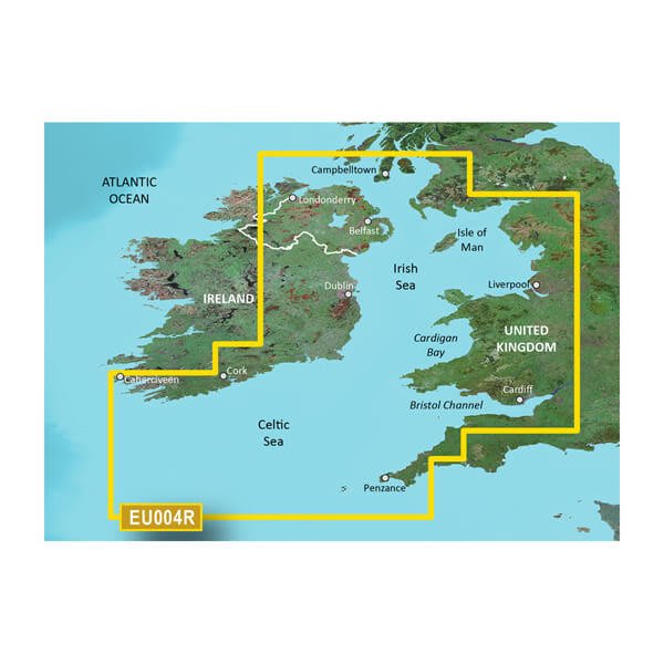
VEU004R-Irish Sea
$429.00 Add to cartOverview
Premier charts
- Provides exceptional coverage, clarity and detail with coastal charts that feature integrated Garmin and Navionics® data
- Auto Guidance1 technology quickly calculates a suggested route by using your desired depth and overhead clearance and provides a suggested path to follow
- Certain areas offer Relief Shading (downloadable via the ActiveCaptain App), which combines colour and shadow to give you an easy-to-interpret, clearer view of bottom structure
- Includes Depth Range Shading for up to 10 depth ranges, enabling you to view your target depth at a glance
- Up to 30 cm (1 ft) contours provide a more accurate depiction of the bottom structure for improved fishing charts
- To give a clear picture of shallow waters to avoid, the Shallow Water Shading feature allows for shading at a user-defined depth
Experience unparalleled coverage and brilliant detail when you're on the water. BlueChart® g3 Vision charts provide industry-leading coverage, clarity and detail with integrated Garmin and Navionics content.
Auto Guidance
Whether you are fishing or cruising, select a spot, and get a route showing you the general path and nearby obstructions at a safe depth1.
Relief shading
Available for the U.K., Ireland, Belgium, France, Germany, the Netherlands and Norway, this exceptional shading feature combines colour and shadow to give you an easy-to-interpret view of bottom profile, making it easy to find artificial reefs, underwater shelves and more. Relief Shading is available via download from the ActiveCaptain® app.
Depth Range Shading
This feature displays high-resolution Depth Range Shading for up to 10 depth ranges so you can view your designated target depth.
Shallow Water Shading
To give a clear picture of shallow waters to avoid, this feature allows for shading at a user-defined depth.
Detailed contours
BlueChart g3 charts feature 30 cm (1 ft) contours that provide a more accurate depiction of bottom structure for improved fishing charts and enhanced detail in swamps, canals and port plans.
High-resolution satellite imagery
High-resolution satellite imagery with navigational charts overlaid gives you a realistic view of your surroundings. It's our most realistic charting display in a chartplotter — ideal for entering unfamiliar harbours or ports.
FishEye view
This underwater perspective shows 3D representation of bottom and contours as seen from below the waterline. Interface with sonar data for a customised view.
MarinerEye view
This view provides a 3D representation of the surrounding area both above and below the waterline.
Aerial photography
Crystal-clear aerial photography shows exceptional detail of many ports, harbours and marinas and is ideal when entering unfamiliar ports.
1Auto Guidance is for planning purposes only and does not replace safe navigation practices.
-
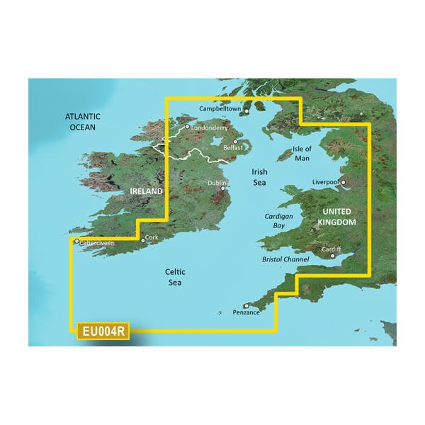
HXEU004R - Irish Sea
$219.00 Add to cartOverview
Premier charts
- Provides exceptional coverage, clarity and detail with coastal charts that feature integrated Garmin and Navionics® data
- Auto Guidance1 technology quickly calculates a suggested route by using your desired depth and overhead clearance and provides a suggested path to follow
- Certain areas offer Relief Shading (downloadable via the ActiveCaptain App), which combines colour and shadow to give you an easy-to-interpret, clearer view of bottom structure
- Includes Depth Range Shading for up to 10 depth ranges, enabling you to view your target depth at a glance
- Up to 30 cm (1 ft) contours provide a more accurate depiction of the bottom structure for improved fishing charts
- To give a clear picture of shallow waters to avoid, the Shallow Water Shading feature allows for shading at a user-defined depth
Experience unparalleled coverage and brilliant detail when you're on the water. BlueChart® g3 Vision charts provide industry-leading coverage, clarity and detail with integrated Garmin and Navionics content.
Auto Guidance
Whether you are fishing or cruising, select a spot, and get a route showing you the general path and nearby obstructions at a safe depth1.
Relief shading
Available for the U.K., Ireland, Belgium, France, Germany, the Netherlands and Norway, this exceptional shading feature combines colour and shadow to give you an easy-to-interpret view of bottom profile, making it easy to find artificial reefs, underwater shelves and more. Relief Shading is available via download from the ActiveCaptain® app.
Depth Range Shading
This feature displays high-resolution Depth Range Shading for up to 10 depth ranges so you can view your designated target depth.
Shallow Water Shading
To give a clear picture of shallow waters to avoid, this feature allows for shading at a user-defined depth.
Detailed contours
BlueChart g3 charts feature 30 cm (1 ft) contours that provide a more accurate depiction of bottom structure for improved fishing charts and enhanced detail in swamps, canals and port plans.
High-resolution satellite imagery
High-resolution satellite imagery with navigational charts overlaid gives you a realistic view of your surroundings. It's our most realistic charting display in a chartplotter — ideal for entering unfamiliar harbours or ports.
FishEye view
This underwater perspective shows 3D representation of bottom and contours as seen from below the waterline. Interface with sonar data for a customised view.
MarinerEye view
This view provides a 3D representation of the surrounding area both above and below the waterline.
Aerial photography
Crystal-clear aerial photography shows exceptional detail of many ports, harbours and marinas and is ideal when entering unfamiliar ports.
1Auto Guidance is for planning purposes only and does not replace safe navigation practices.
-
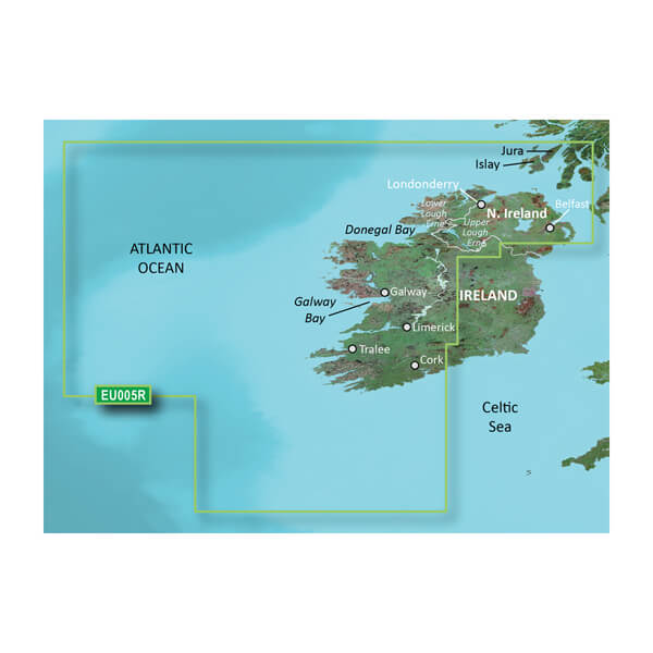
VEU005R-Ireland, West Coast
$429.00 Add to cartOverview
Premier charts
- Provides exceptional coverage, clarity and detail with coastal charts that feature integrated Garmin and Navionics® data
- Auto Guidance1 technology quickly calculates a suggested route by using your desired depth and overhead clearance and provides a suggested path to follow
- Certain areas offer Relief Shading (downloadable via the ActiveCaptain App), which combines colour and shadow to give you an easy-to-interpret, clearer view of bottom structure
- Includes Depth Range Shading for up to 10 depth ranges, enabling you to view your target depth at a glance
- Up to 30 cm (1 ft) contours provide a more accurate depiction of the bottom structure for improved fishing charts
- To give a clear picture of shallow waters to avoid, the Shallow Water Shading feature allows for shading at a user-defined depth
Experience unparalleled coverage and brilliant detail when you're on the water. BlueChart® g3 Vision charts provide industry-leading coverage, clarity and detail with integrated Garmin and Navionics content.
Auto Guidance
Whether you are fishing or cruising, select a spot, and get a route showing you the general path and nearby obstructions at a safe depth1.
Relief shading
Available for the U.K., Ireland, Belgium, France, Germany, the Netherlands and Norway, this exceptional shading feature combines colour and shadow to give you an easy-to-interpret view of bottom profile, making it easy to find artificial reefs, underwater shelves and more. Relief Shading is available via download from the ActiveCaptain® app.
Depth Range Shading
This feature displays high-resolution Depth Range Shading for up to 10 depth ranges so you can view your designated target depth.
Shallow Water Shading
To give a clear picture of shallow waters to avoid, this feature allows for shading at a user-defined depth.
Detailed contours
BlueChart g3 charts feature 30 cm (1 ft) contours that provide a more accurate depiction of bottom structure for improved fishing charts and enhanced detail in swamps, canals and port plans.
High-resolution satellite imagery
High-resolution satellite imagery with navigational charts overlaid gives you a realistic view of your surroundings. It's our most realistic charting display in a chartplotter — ideal for entering unfamiliar harbours or ports.
FishEye view
This underwater perspective shows 3D representation of bottom and contours as seen from below the waterline. Interface with sonar data for a customised view.
MarinerEye view
This view provides a 3D representation of the surrounding area both above and below the waterline.
Aerial photography
Crystal-clear aerial photography shows exceptional detail of many ports, harbours and marinas and is ideal when entering unfamiliar ports.
1Auto Guidance is for planning purposes only and does not replace safe navigation practices.
-
HXEU005R - Ireland, West Coast
$219.00 Add to cartOverview
Premier charts
- Provides exceptional coverage, clarity and detail with coastal charts that feature integrated Garmin and Navionics® data
- Auto Guidance1 technology quickly calculates a suggested route by using your desired depth and overhead clearance and provides a suggested path to follow
- Certain areas offer Relief Shading (downloadable via the ActiveCaptain App), which combines colour and shadow to give you an easy-to-interpret, clearer view of bottom structure
- Includes Depth Range Shading for up to 10 depth ranges, enabling you to view your target depth at a glance
- Up to 30 cm (1 ft) contours provide a more accurate depiction of the bottom structure for improved fishing charts
- To give a clear picture of shallow waters to avoid, the Shallow Water Shading feature allows for shading at a user-defined depth
Experience unparalleled coverage and brilliant detail when you're on the water. BlueChart® g3 Vision charts provide industry-leading coverage, clarity and detail with integrated Garmin and Navionics content.
Auto Guidance
Whether you are fishing or cruising, select a spot, and get a route showing you the general path and nearby obstructions at a safe depth1.
Relief shading
Available for the U.K., Ireland, Belgium, France, Germany, the Netherlands and Norway, this exceptional shading feature combines colour and shadow to give you an easy-to-interpret view of bottom profile, making it easy to find artificial reefs, underwater shelves and more. Relief Shading is available via download from the ActiveCaptain® app.
Depth Range Shading
This feature displays high-resolution Depth Range Shading for up to 10 depth ranges so you can view your designated target depth.
Shallow Water Shading
To give a clear picture of shallow waters to avoid, this feature allows for shading at a user-defined depth.
Detailed contours
BlueChart g3 charts feature 30 cm (1 ft) contours that provide a more accurate depiction of bottom structure for improved fishing charts and enhanced detail in swamps, canals and port plans.
High-resolution satellite imagery
High-resolution satellite imagery with navigational charts overlaid gives you a realistic view of your surroundings. It's our most realistic charting display in a chartplotter — ideal for entering unfamiliar harbours or ports.
FishEye view
This underwater perspective shows 3D representation of bottom and contours as seen from below the waterline. Interface with sonar data for a customised view.
MarinerEye view
This view provides a 3D representation of the surrounding area both above and below the waterline.
Aerial photography
Crystal-clear aerial photography shows exceptional detail of many ports, harbours and marinas and is ideal when entering unfamiliar ports.
1Auto Guidance is for planning purposes only and does not replace safe navigation practices.
-
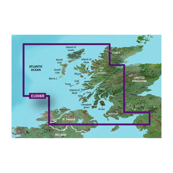
VEU006R-Scotland, West Coast
$429.00 Add to cartOverview
Premier charts
- Provides exceptional coverage, clarity and detail with coastal charts that feature integrated Garmin and Navionics® data
- Auto Guidance1 technology quickly calculates a suggested route by using your desired depth and overhead clearance and provides a suggested path to follow
- Certain areas offer Relief Shading (downloadable via the ActiveCaptain App), which combines colour and shadow to give you an easy-to-interpret, clearer view of bottom structure
- Includes Depth Range Shading for up to 10 depth ranges, enabling you to view your target depth at a glance
- Up to 30 cm (1 ft) contours provide a more accurate depiction of the bottom structure for improved fishing charts
- To give a clear picture of shallow waters to avoid, the Shallow Water Shading feature allows for shading at a user-defined depth
Experience unparalleled coverage and brilliant detail when you're on the water. BlueChart® g3 Vision charts provide industry-leading coverage, clarity and detail with integrated Garmin and Navionics content.
Auto Guidance
Whether you are fishing or cruising, select a spot, and get a route showing you the general path and nearby obstructions at a safe depth1.
Relief shading
Available for the U.K., Ireland, Belgium, France, Germany, the Netherlands and Norway, this exceptional shading feature combines colour and shadow to give you an easy-to-interpret view of bottom profile, making it easy to find artificial reefs, underwater shelves and more. Relief Shading is available via download from the ActiveCaptain® app.
Depth Range Shading
This feature displays high-resolution Depth Range Shading for up to 10 depth ranges so you can view your designated target depth.
Shallow Water Shading
To give a clear picture of shallow waters to avoid, this feature allows for shading at a user-defined depth.
Detailed contours
BlueChart g3 charts feature 30 cm (1 ft) contours that provide a more accurate depiction of bottom structure for improved fishing charts and enhanced detail in swamps, canals and port plans.
High-resolution satellite imagery
High-resolution satellite imagery with navigational charts overlaid gives you a realistic view of your surroundings. It's our most realistic charting display in a chartplotter — ideal for entering unfamiliar harbours or ports.
FishEye view
This underwater perspective shows 3D representation of bottom and contours as seen from below the waterline. Interface with sonar data for a customised view.
MarinerEye view
This view provides a 3D representation of the surrounding area both above and below the waterline.
Aerial photography
Crystal-clear aerial photography shows exceptional detail of many ports, harbours and marinas and is ideal when entering unfamiliar ports.
1Auto Guidance is for planning purposes only and does not replace safe navigation practices.
-
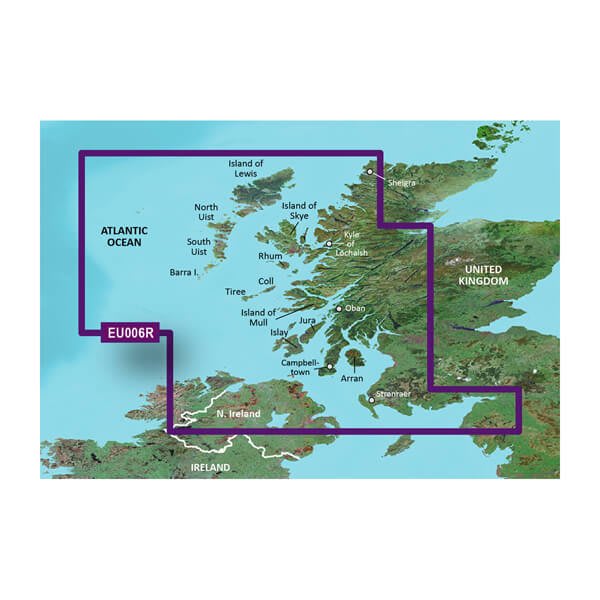
HXEU006R - Scotland, West Coast
$219.00 Add to cartOverview
Premier charts
- Provides exceptional coverage, clarity and detail with coastal charts that feature integrated Garmin and Navionics® data
- Auto Guidance1 technology quickly calculates a suggested route by using your desired depth and overhead clearance and provides a suggested path to follow
- Certain areas offer Relief Shading (downloadable via the ActiveCaptain App), which combines colour and shadow to give you an easy-to-interpret, clearer view of bottom structure
- Includes Depth Range Shading for up to 10 depth ranges, enabling you to view your target depth at a glance
- Up to 30 cm (1 ft) contours provide a more accurate depiction of the bottom structure for improved fishing charts
- To give a clear picture of shallow waters to avoid, the Shallow Water Shading feature allows for shading at a user-defined depth
Experience unparalleled coverage and brilliant detail when you're on the water. BlueChart® g3 Vision charts provide industry-leading coverage, clarity and detail with integrated Garmin and Navionics content.
Auto Guidance
Whether you are fishing or cruising, select a spot, and get a route showing you the general path and nearby obstructions at a safe depth1.
Relief shading
Available for the U.K., Ireland, Belgium, France, Germany, the Netherlands and Norway, this exceptional shading feature combines colour and shadow to give you an easy-to-interpret view of bottom profile, making it easy to find artificial reefs, underwater shelves and more. Relief Shading is available via download from the ActiveCaptain® app.
Depth Range Shading
This feature displays high-resolution Depth Range Shading for up to 10 depth ranges so you can view your designated target depth.
Shallow Water Shading
To give a clear picture of shallow waters to avoid, this feature allows for shading at a user-defined depth.
Detailed contours
BlueChart g3 charts feature 30 cm (1 ft) contours that provide a more accurate depiction of bottom structure for improved fishing charts and enhanced detail in swamps, canals and port plans.
High-resolution satellite imagery
High-resolution satellite imagery with navigational charts overlaid gives you a realistic view of your surroundings. It's our most realistic charting display in a chartplotter — ideal for entering unfamiliar harbours or ports.
FishEye view
This underwater perspective shows 3D representation of bottom and contours as seen from below the waterline. Interface with sonar data for a customised view.
MarinerEye view
This view provides a 3D representation of the surrounding area both above and below the waterline.
Aerial photography
Crystal-clear aerial photography shows exceptional detail of many ports, harbours and marinas and is ideal when entering unfamiliar ports.
1Auto Guidance is for planning purposes only and does not replace safe navigation practices.
-
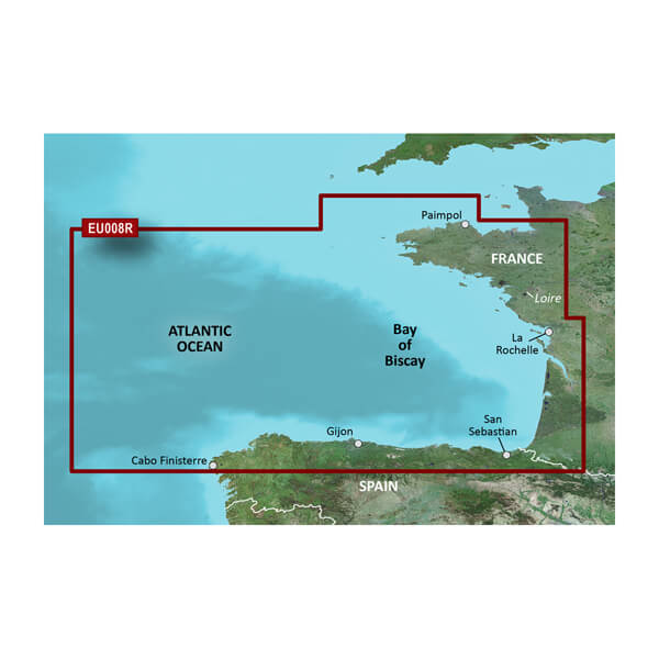
VEU008R-Bay of Biscay
$429.00 Add to cartOverview
Unparalleled Coastal Chart Coverage
- Provides industry-leading coverage, clarity and detail with updated coastal charts that feature integrated Garmin and Navionics® data
- Auto Guidance¹ technology calculates a route using your desired depth and overhead clearance and provides a suggested path to follow
- Includes Depth Range Shading for up to 10 depth ranges, enabling you to view your target depth at a glance
- Up to 1’ contours provide a more accurate depiction of the bottom structure for improved fishing charts and navigation in swamps, canals and marinas
- NOAA raster cartography is available as a free downloadable feature via the ActiveCaptain® app
BlueChart g3 coastal charts provide industry-leading coverage, clarity and detail with integrated Garmin and Navionics data. Also included is Auto Guidance1 technology, which uses your desired depth and overhead clearance to calculate routes and provide a suggested path to follow — overlaid onto your chart. NOAA raster cartography is also available as a free downloadable feature via the ActiveCaptain app. It gives your chartplotter paper chartlike views of NOAA-surveyed areas in which individual points of interest are labeled with corresponding longitude and latitude information. Worldwide coverage is available by regions as accessory cards or via download; each region is sold separately.
Auto Guidance Technology
The Auto Guidance feature¹ calculates a suggested route using your desired depth and overhead clearance.
Depth Range Shading
This feature displays high-resolution Depth Range Shading for up to 10 depth ranges so you can view your designated target depth.
Detailed Contours
BlueChart g3 charts feature 1’ contours that provide a more accurate depiction of bottom structure for improved fishing charts and enhanced detail in swamps, canals and port plans.
Shallow Water Shading
To aid in navigation, Shallow Water Shading allows map shading at a user-defined depth to give a clear picture of shallow waters to avoid.
NOAA Raster Cartography
This feature gives your chartplotter paper chartlike views of NOAA-surveyed areas in which points of interest are labeled with corresponding longitude and latitude information.
¹Auto Guidance is for planning purposes only and does not replace safe navigation practices. Auto Guidance is not included in preloaded BlueChart g3 for ECHOMAP™ Plus series chartplotters
-
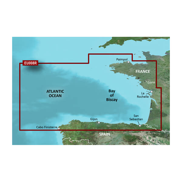
HXEU008R - Bay of Biscay
$219.00 Add to cartOverview
Unparalleled Coastal Chart Coverage
- Provides industry-leading coverage, clarity and detail with updated coastal charts that feature integrated Garmin and Navionics® data
- Auto Guidance¹ technology calculates a route using your desired depth and overhead clearance and provides a suggested path to follow
- Includes Depth Range Shading for up to 10 depth ranges, enabling you to view your target depth at a glance
- Up to 1’ contours provide a more accurate depiction of the bottom structure for improved fishing charts and navigation in swamps, canals and marinas
- NOAA raster cartography is available as a free downloadable feature via the ActiveCaptain® app
BlueChart g3 coastal charts provide industry-leading coverage, clarity and detail with integrated Garmin and Navionics data. Also included is Auto Guidance1 technology, which uses your desired depth and overhead clearance to calculate routes and provide a suggested path to follow — overlaid onto your chart. NOAA raster cartography is also available as a free downloadable feature via the ActiveCaptain app. It gives your chartplotter paper chartlike views of NOAA-surveyed areas in which individual points of interest are labeled with corresponding longitude and latitude information. Worldwide coverage is available by regions as accessory cards or via download; each region is sold separately.
Auto Guidance Technology
The Auto Guidance feature¹ calculates a suggested route using your desired depth and overhead clearance.
Depth Range Shading
This feature displays high-resolution Depth Range Shading for up to 10 depth ranges so you can view your designated target depth.
Detailed Contours
BlueChart g3 charts feature 1’ contours that provide a more accurate depiction of bottom structure for improved fishing charts and enhanced detail in swamps, canals and port plans.
Shallow Water Shading
To aid in navigation, Shallow Water Shading allows map shading at a user-defined depth to give a clear picture of shallow waters to avoid.
NOAA Raster Cartography
This feature gives your chartplotter paper chartlike views of NOAA-surveyed areas in which points of interest are labeled with corresponding longitude and latitude information.
¹Auto Guidance is for planning purposes only and does not replace safe navigation practices. Auto Guidance is not included in preloaded BlueChart g3 for ECHOMAP™ Plus series chartplotters
-
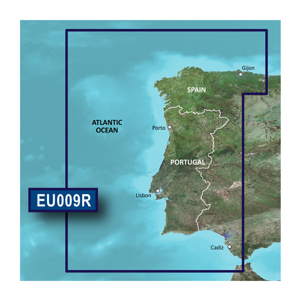
VEU009R-Portugal and Northwest Spain
$429.00 Add to cartOverview
Unparalleled Coastal Chart Coverage
- Provides industry-leading coverage, clarity and detail with updated coastal charts that feature integrated Garmin and Navionics® data
- Auto Guidance¹ technology calculates a route using your desired depth and overhead clearance and provides a suggested path to follow
- Includes Depth Range Shading for up to 10 depth ranges, enabling you to view your target depth at a glance
- Up to 1’ contours provide a more accurate depiction of the bottom structure for improved fishing charts and navigation in swamps, canals and marinas
- NOAA raster cartography is available as a free downloadable feature via the ActiveCaptain® app
BlueChart g3 coastal charts provide industry-leading coverage, clarity and detail with integrated Garmin and Navionics data. Also included is Auto Guidance1 technology, which uses your desired depth and overhead clearance to calculate routes and provide a suggested path to follow — overlaid onto your chart. NOAA raster cartography is also available as a free downloadable feature via the ActiveCaptain app. It gives your chartplotter paper chartlike views of NOAA-surveyed areas in which individual points of interest are labeled with corresponding longitude and latitude information. Worldwide coverage is available by regions as accessory cards or via download; each region is sold separately.
Auto Guidance Technology
The Auto Guidance feature¹ calculates a suggested route using your desired depth and overhead clearance.
Depth Range Shading
This feature displays high-resolution Depth Range Shading for up to 10 depth ranges so you can view your designated target depth.
Detailed Contours
BlueChart g3 charts feature 1’ contours that provide a more accurate depiction of bottom structure for improved fishing charts and enhanced detail in swamps, canals and port plans.
Shallow Water Shading
To aid in navigation, Shallow Water Shading allows map shading at a user-defined depth to give a clear picture of shallow waters to avoid.
NOAA Raster Cartography
This feature gives your chartplotter paper chartlike views of NOAA-surveyed areas in which points of interest are labeled with corresponding longitude and latitude information.
¹Auto Guidance is for planning purposes only and does not replace safe navigation practices. Auto Guidance is not included in preloaded BlueChart g3 for ECHOMAP™ Plus series chartplotters
-
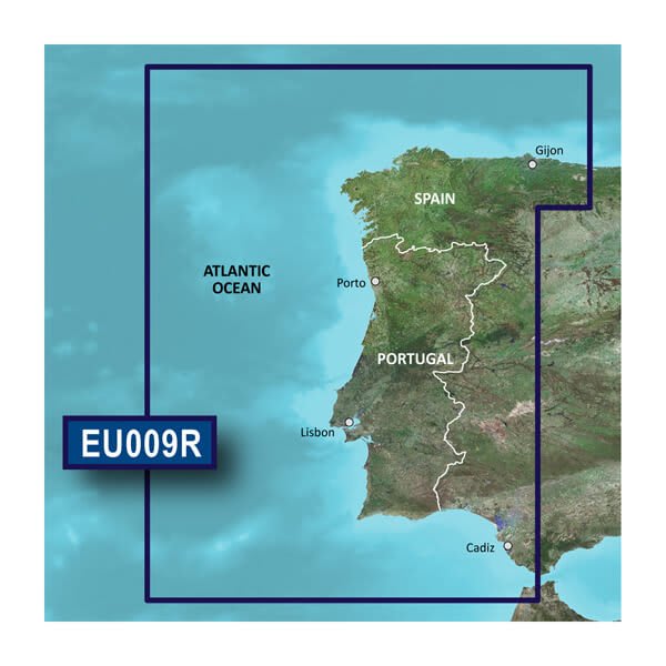
HXEU009R - Portugal and Northwest Spain
$219.00 Add to cartOverview
Unparalleled Coastal Chart Coverage
- Provides industry-leading coverage, clarity and detail with updated coastal charts that feature integrated Garmin and Navionics® data
- Auto Guidance¹ technology calculates a route using your desired depth and overhead clearance and provides a suggested path to follow
- Includes Depth Range Shading for up to 10 depth ranges, enabling you to view your target depth at a glance
- Up to 1’ contours provide a more accurate depiction of the bottom structure for improved fishing charts and navigation in swamps, canals and marinas
- NOAA raster cartography is available as a free downloadable feature via the ActiveCaptain® app
BlueChart g3 coastal charts provide industry-leading coverage, clarity and detail with integrated Garmin and Navionics data. Also included is Auto Guidance1 technology, which uses your desired depth and overhead clearance to calculate routes and provide a suggested path to follow — overlaid onto your chart. NOAA raster cartography is also available as a free downloadable feature via the ActiveCaptain app. It gives your chartplotter paper chartlike views of NOAA-surveyed areas in which individual points of interest are labeled with corresponding longitude and latitude information. Worldwide coverage is available by regions as accessory cards or via download; each region is sold separately.
Auto Guidance Technology
The Auto Guidance feature¹ calculates a suggested route using your desired depth and overhead clearance.
Depth Range Shading
This feature displays high-resolution Depth Range Shading for up to 10 depth ranges so you can view your designated target depth.
Detailed Contours
BlueChart g3 charts feature 1’ contours that provide a more accurate depiction of bottom structure for improved fishing charts and enhanced detail in swamps, canals and port plans.
Shallow Water Shading
To aid in navigation, Shallow Water Shading allows map shading at a user-defined depth to give a clear picture of shallow waters to avoid.
NOAA Raster Cartography
This feature gives your chartplotter paper chartlike views of NOAA-surveyed areas in which points of interest are labeled with corresponding longitude and latitude information.
¹Auto Guidance is for planning purposes only and does not replace safe navigation practices. Auto Guidance is not included in preloaded BlueChart g3 for ECHOMAP™ Plus series chartplotters
-
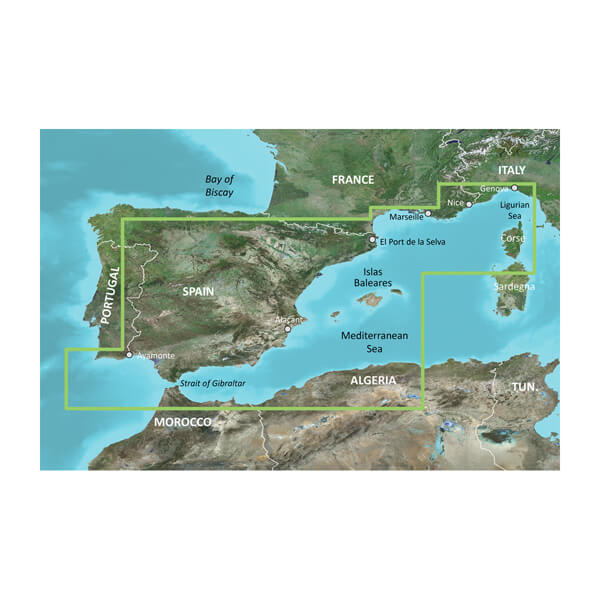
VEU010R-Spain, Mediterranean Coast
$470.00 Add to cartOverview
Unparalleled Coastal Chart Coverage
- Provides industry-leading coverage, clarity and detail with updated coastal charts that feature integrated Garmin and Navionics® data
- Auto Guidance¹ technology calculates a route using your desired depth and overhead clearance and provides a suggested path to follow
- Includes Depth Range Shading for up to 10 depth ranges, enabling you to view your target depth at a glance
- Up to 1’ contours provide a more accurate depiction of the bottom structure for improved fishing charts and navigation in swamps, canals and marinas
- NOAA raster cartography is available as a free downloadable feature via the ActiveCaptain® app
BlueChart g3 coastal charts provide industry-leading coverage, clarity and detail with integrated Garmin and Navionics data. Also included is Auto Guidance1 technology, which uses your desired depth and overhead clearance to calculate routes and provide a suggested path to follow — overlaid onto your chart. NOAA raster cartography is also available as a free downloadable feature via the ActiveCaptain app. It gives your chartplotter paper chartlike views of NOAA-surveyed areas in which individual points of interest are labeled with corresponding longitude and latitude information. Worldwide coverage is available by regions as accessory cards or via download; each region is sold separately.
Auto Guidance Technology
The Auto Guidance feature¹ calculates a suggested route using your desired depth and overhead clearance.
Depth Range Shading
This feature displays high-resolution Depth Range Shading for up to 10 depth ranges so you can view your designated target depth.
Detailed Contours
BlueChart g3 charts feature 1’ contours that provide a more accurate depiction of bottom structure for improved fishing charts and enhanced detail in swamps, canals and port plans.
Shallow Water Shading
To aid in navigation, Shallow Water Shading allows map shading at a user-defined depth to give a clear picture of shallow waters to avoid.
NOAA Raster Cartography
This feature gives your chartplotter paper chartlike views of NOAA-surveyed areas in which points of interest are labeled with corresponding longitude and latitude information.
¹Auto Guidance is for planning purposes only and does not replace safe navigation practices. Auto Guidance is not included in preloaded BlueChart g3 for ECHOMAP™ Plus series chartplotters
-
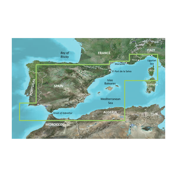
HXEU010R - Spain, Mediterranean Coast
$260.00 Add to cartOverview
Unparalleled Coastal Chart Coverage
- Provides industry-leading coverage, clarity and detail with updated coastal charts that feature integrated Garmin and Navionics® data
- Auto Guidance¹ technology calculates a route using your desired depth and overhead clearance and provides a suggested path to follow
- Includes Depth Range Shading for up to 10 depth ranges, enabling you to view your target depth at a glance
- Up to 1’ contours provide a more accurate depiction of the bottom structure for improved fishing charts and navigation in swamps, canals and marinas
- NOAA raster cartography is available as a free downloadable feature via the ActiveCaptain® app
BlueChart g3 coastal charts provide industry-leading coverage, clarity and detail with integrated Garmin and Navionics data. Also included is Auto Guidance1 technology, which uses your desired depth and overhead clearance to calculate routes and provide a suggested path to follow — overlaid onto your chart. NOAA raster cartography is also available as a free downloadable feature via the ActiveCaptain app. It gives your chartplotter paper chartlike views of NOAA-surveyed areas in which individual points of interest are labeled with corresponding longitude and latitude information. Worldwide coverage is available by regions as accessory cards or via download; each region is sold separately.
Auto Guidance Technology
The Auto Guidance feature¹ calculates a suggested route using your desired depth and overhead clearance.
Depth Range Shading
This feature displays high-resolution Depth Range Shading for up to 10 depth ranges so you can view your designated target depth.
Detailed Contours
BlueChart g3 charts feature 1’ contours that provide a more accurate depiction of bottom structure for improved fishing charts and enhanced detail in swamps, canals and port plans.
Shallow Water Shading
To aid in navigation, Shallow Water Shading allows map shading at a user-defined depth to give a clear picture of shallow waters to avoid.
NOAA Raster Cartography
This feature gives your chartplotter paper chartlike views of NOAA-surveyed areas in which points of interest are labeled with corresponding longitude and latitude information.
¹Auto Guidance is for planning purposes only and does not replace safe navigation practices. Auto Guidance is not included in preloaded BlueChart g3 for ECHOMAP™ Plus series chartplotters
-
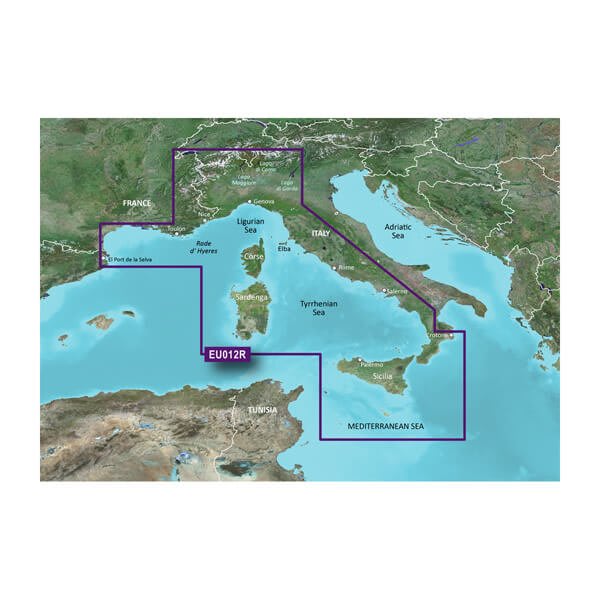
VEU012R-Mediterranean Sea, Central-West
$470.00 Add to cartOverview
Unparalleled Coastal Chart Coverage
- Provides industry-leading coverage, clarity and detail with updated coastal charts that feature integrated Garmin and Navionics® data
- Auto Guidance¹ technology calculates a route using your desired depth and overhead clearance and provides a suggested path to follow
- Includes Depth Range Shading for up to 10 depth ranges, enabling you to view your target depth at a glance
- Up to 1’ contours provide a more accurate depiction of the bottom structure for improved fishing charts and navigation in swamps, canals and marinas
- NOAA raster cartography is available as a free downloadable feature via the ActiveCaptain® app
BlueChart g3 coastal charts provide industry-leading coverage, clarity and detail with integrated Garmin and Navionics data. Also included is Auto Guidance1 technology, which uses your desired depth and overhead clearance to calculate routes and provide a suggested path to follow — overlaid onto your chart. NOAA raster cartography is also available as a free downloadable feature via the ActiveCaptain app. It gives your chartplotter paper chartlike views of NOAA-surveyed areas in which individual points of interest are labeled with corresponding longitude and latitude information. Worldwide coverage is available by regions as accessory cards or via download; each region is sold separately.
Auto Guidance Technology
The Auto Guidance feature¹ calculates a suggested route using your desired depth and overhead clearance.
Depth Range Shading
This feature displays high-resolution Depth Range Shading for up to 10 depth ranges so you can view your designated target depth.
Detailed Contours
BlueChart g3 charts feature 1’ contours that provide a more accurate depiction of bottom structure for improved fishing charts and enhanced detail in swamps, canals and port plans.
Shallow Water Shading
To aid in navigation, Shallow Water Shading allows map shading at a user-defined depth to give a clear picture of shallow waters to avoid.
NOAA Raster Cartography
This feature gives your chartplotter paper chartlike views of NOAA-surveyed areas in which points of interest are labeled with corresponding longitude and latitude information.
¹Auto Guidance is for planning purposes only and does not replace safe navigation practices. Auto Guidance is not included in preloaded BlueChart g3 for ECHOMAP™ Plus series chartplotters
-
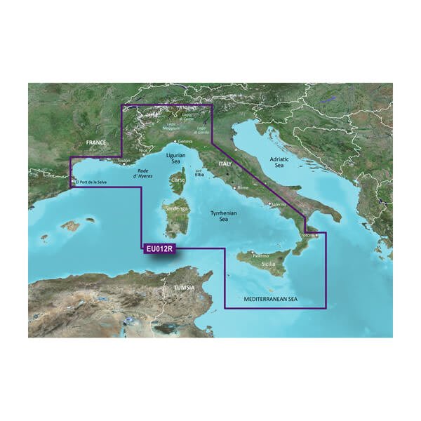
HXEU012R - Mediterranean Sea, Central-West
$260.00 Add to cartOverview
Unparalleled Coastal Chart Coverage
- Provides industry-leading coverage, clarity and detail with updated coastal charts that feature integrated Garmin and Navionics® data
- Auto Guidance¹ technology calculates a route using your desired depth and overhead clearance and provides a suggested path to follow
- Includes Depth Range Shading for up to 10 depth ranges, enabling you to view your target depth at a glance
- Up to 1’ contours provide a more accurate depiction of the bottom structure for improved fishing charts and navigation in swamps, canals and marinas
- NOAA raster cartography is available as a free downloadable feature via the ActiveCaptain® app
BlueChart g3 coastal charts provide industry-leading coverage, clarity and detail with integrated Garmin and Navionics data. Also included is Auto Guidance1 technology, which uses your desired depth and overhead clearance to calculate routes and provide a suggested path to follow — overlaid onto your chart. NOAA raster cartography is also available as a free downloadable feature via the ActiveCaptain app. It gives your chartplotter paper chartlike views of NOAA-surveyed areas in which individual points of interest are labeled with corresponding longitude and latitude information. Worldwide coverage is available by regions as accessory cards or via download; each region is sold separately.
Auto Guidance Technology
The Auto Guidance feature¹ calculates a suggested route using your desired depth and overhead clearance.
Depth Range Shading
This feature displays high-resolution Depth Range Shading for up to 10 depth ranges so you can view your designated target depth.
Detailed Contours
BlueChart g3 charts feature 1’ contours that provide a more accurate depiction of bottom structure for improved fishing charts and enhanced detail in swamps, canals and port plans.
Shallow Water Shading
To aid in navigation, Shallow Water Shading allows map shading at a user-defined depth to give a clear picture of shallow waters to avoid.
NOAA Raster Cartography
This feature gives your chartplotter paper chartlike views of NOAA-surveyed areas in which points of interest are labeled with corresponding longitude and latitude information.
¹Auto Guidance is for planning purposes only and does not replace safe navigation practices. Auto Guidance is not included in preloaded BlueChart g3 for ECHOMAP™ Plus series chartplotters
-
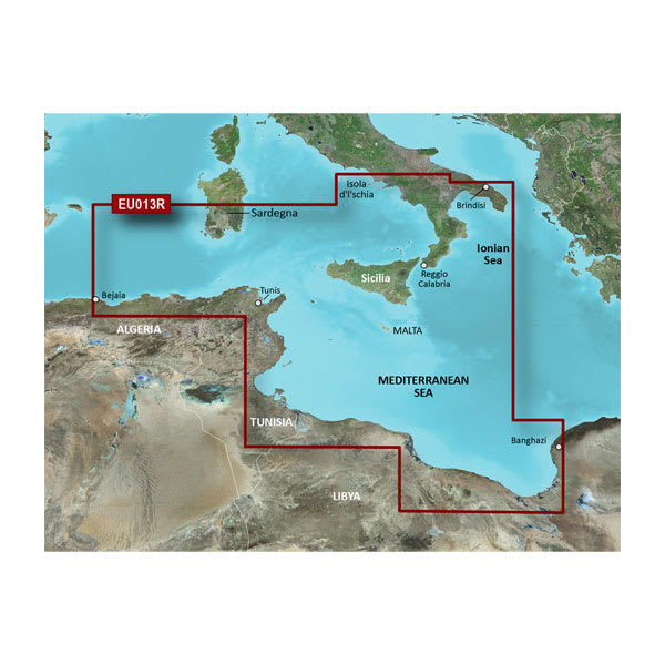
VEU013R-Italy Southwest and Tunisia
$470.00 Add to cartOverview
Unparalleled Coastal Chart Coverage
- Provides industry-leading coverage, clarity and detail with updated coastal charts that feature integrated Garmin and Navionics® data
- Auto Guidance¹ technology calculates a route using your desired depth and overhead clearance and provides a suggested path to follow
- Includes Depth Range Shading for up to 10 depth ranges, enabling you to view your target depth at a glance
- Up to 1’ contours provide a more accurate depiction of the bottom structure for improved fishing charts and navigation in swamps, canals and marinas
- NOAA raster cartography is available as a free downloadable feature via the ActiveCaptain® app
BlueChart g3 coastal charts provide industry-leading coverage, clarity and detail with integrated Garmin and Navionics data. Also included is Auto Guidance1 technology, which uses your desired depth and overhead clearance to calculate routes and provide a suggested path to follow — overlaid onto your chart. NOAA raster cartography is also available as a free downloadable feature via the ActiveCaptain app. It gives your chartplotter paper chartlike views of NOAA-surveyed areas in which individual points of interest are labeled with corresponding longitude and latitude information. Worldwide coverage is available by regions as accessory cards or via download; each region is sold separately.
Auto Guidance Technology
The Auto Guidance feature¹ calculates a suggested route using your desired depth and overhead clearance.
Depth Range Shading
This feature displays high-resolution Depth Range Shading for up to 10 depth ranges so you can view your designated target depth.
Detailed Contours
BlueChart g3 charts feature 1’ contours that provide a more accurate depiction of bottom structure for improved fishing charts and enhanced detail in swamps, canals and port plans.
Shallow Water Shading
To aid in navigation, Shallow Water Shading allows map shading at a user-defined depth to give a clear picture of shallow waters to avoid.
NOAA Raster Cartography
This feature gives your chartplotter paper chartlike views of NOAA-surveyed areas in which points of interest are labeled with corresponding longitude and latitude information.
¹Auto Guidance is for planning purposes only and does not replace safe navigation practices. Auto Guidance is not included in preloaded BlueChart g3 for ECHOMAP™ Plus series chartplotters
-
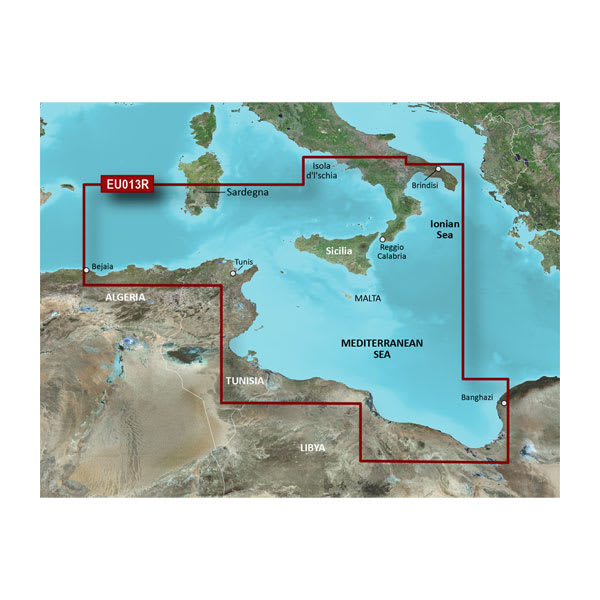
HXEU013R - Italy Southwest and Tunisia
$260.00 Add to cartOverview
Unparalleled Coastal Chart Coverage
- Provides industry-leading coverage, clarity and detail with updated coastal charts that feature integrated Garmin and Navionics® data
- Auto Guidance¹ technology calculates a route using your desired depth and overhead clearance and provides a suggested path to follow
- Includes Depth Range Shading for up to 10 depth ranges, enabling you to view your target depth at a glance
- Up to 1’ contours provide a more accurate depiction of the bottom structure for improved fishing charts and navigation in swamps, canals and marinas
- NOAA raster cartography is available as a free downloadable feature via the ActiveCaptain® app
BlueChart g3 coastal charts provide industry-leading coverage, clarity and detail with integrated Garmin and Navionics data. Also included is Auto Guidance1 technology, which uses your desired depth and overhead clearance to calculate routes and provide a suggested path to follow — overlaid onto your chart. NOAA raster cartography is also available as a free downloadable feature via the ActiveCaptain app. It gives your chartplotter paper chartlike views of NOAA-surveyed areas in which individual points of interest are labeled with corresponding longitude and latitude information. Worldwide coverage is available by regions as accessory cards or via download; each region is sold separately.
Auto Guidance Technology
The Auto Guidance feature¹ calculates a suggested route using your desired depth and overhead clearance.
Depth Range Shading
This feature displays high-resolution Depth Range Shading for up to 10 depth ranges so you can view your designated target depth.
Detailed Contours
BlueChart g3 charts feature 1’ contours that provide a more accurate depiction of bottom structure for improved fishing charts and enhanced detail in swamps, canals and port plans.
Shallow Water Shading
To aid in navigation, Shallow Water Shading allows map shading at a user-defined depth to give a clear picture of shallow waters to avoid.
NOAA Raster Cartography
This feature gives your chartplotter paper chartlike views of NOAA-surveyed areas in which points of interest are labeled with corresponding longitude and latitude information.
¹Auto Guidance is for planning purposes only and does not replace safe navigation practices. Auto Guidance is not included in preloaded BlueChart g3 for ECHOMAP™ Plus series chartplotters
-
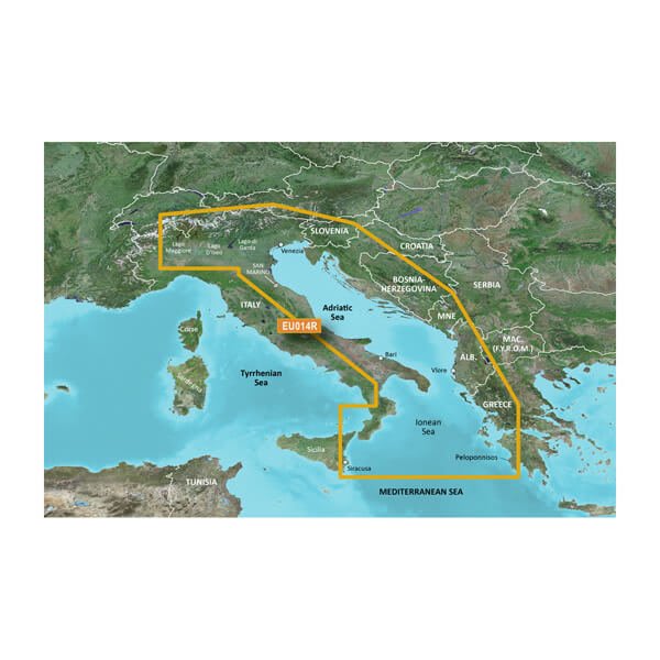
VEU014R-Italy, Adriatic Sea
$470.00 Add to cartOverview
Unparalleled Coastal Chart Coverage
- Provides exceptional coverage, clarity and detail with coastal charts that feature integrated Garmin and Navionics® data
- Auto Guidance¹ technology calculates a route using your desired depth and overhead clearance and provides a suggested path to follow
- Includes depth range shading for up to 10 depth ranges, enabling you to view your target depth at a glance
- Up to 1’ contours provide a more accurate depiction of the bottom structure for improved fishing charts and navigation in swamps, canals and marinas
Experience unparalleled coverage and brilliant detail when you’re on the water with charts that feature integrated Navionics® data, Auto Guidance technology¹ and more.
Auto Guidance Technology
Whether you are fishing or cruising, select a spot, and get a route showing you the general path and nearby obstructions at a safe depth1.
Depth Range Shading
This feature displays high-resolution depth range shading for up to 10 depth ranges so you can view your designated target depth.
Detailed Contours
BlueChart g3 charts feature 1’ contours that provide a more accurate depiction of bottom structure for improved fishing charts and enhanced detail in swamps, canals and port plans.
Shallow Water Shading
To aid in navigation, Shallow Water Shading allows map shading at a user-defined depth to give a clear picture of shallow waters.
¹Auto Guidance is for planning purposes only and does not replace safe navigation practices. Auto Guidance is not included in preloaded BlueChart g3 for ECHOMAP™ Plus series chartplotters
-
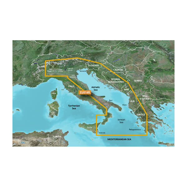
HXEU014R - Italy, Adriatic Sea
$260.00 Add to cartOverview
Unparalleled Coastal Chart Coverage
- Provides exceptional coverage, clarity and detail with coastal charts that feature integrated Garmin and Navionics® data
- Auto Guidance¹ technology calculates a route using your desired depth and overhead clearance and provides a suggested path to follow
- Includes depth range shading for up to 10 depth ranges, enabling you to view your target depth at a glance
- Up to 1’ contours provide a more accurate depiction of the bottom structure for improved fishing charts and navigation in swamps, canals and marinas
Experience unparalleled coverage and brilliant detail when you’re on the water with charts that feature integrated Navionics® data, Auto Guidance technology¹ and more.
Auto Guidance Technology
Whether you are fishing or cruising, select a spot, and get a route showing you the general path and nearby obstructions at a safe depth1.
Depth Range Shading
This feature displays high-resolution depth range shading for up to 10 depth ranges so you can view your designated target depth.
Detailed Contours
BlueChart g3 charts feature 1’ contours that provide a more accurate depiction of bottom structure for improved fishing charts and enhanced detail in swamps, canals and port plans.
Shallow Water Shading
To aid in navigation, Shallow Water Shading allows map shading at a user-defined depth to give a clear picture of shallow waters.
¹Auto Guidance is for planning purposes only and does not replace safe navigation practices. Auto Guidance is not included in preloaded BlueChart g3 for ECHOMAP™ Plus series chartplotters
-
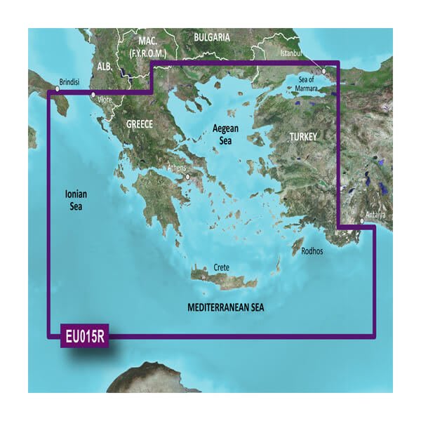
VEU015R - Aegean Sea and Sea of Marmara
$470.00 Add to cartOverview
Premier Coastal Charts
- Industry-leading coverage, clarity and detail with updated coastal charts that feature integrated Garmin and Navionics® content
- Auto Guidance¹ technology quickly calculates a suggested route by using your desired depth and overhead clearance
- Includes Depth Range Shading for up to 10 depth ranges, enabling you to view your target depth at a glance
- Up to 1’ contours provide a more accurate depiction of the bottom structure for improved fishing charts
- To give a clear picture of shallow waters to avoid, the Shallow Water Shading allows for shading at a user-defined depth
Experience unparalleled coverage and brilliant detail when you’re on the water. BlueChart g3 Vision coastal charts provide industry-leading coverage, clarity and detail with integrated Garmin and Navionics content.
Auto Guidance
Whether you are fishing or cruising, select a spot, and get a route showing you the general path and nearby obstructions at a safe depth1.
High Resolution Relief Shading
This exceptional shading feature combines color and shadow to give you an easy-to-interpret view of bottom profile, making it easy to find artificial reefs, underwater shelves and more. High-resolution relief shading is available as a free downloadable feature via the ActiveCaptain® app.
Depth Range Shading
This feature displays high-resolution Depth Range Shading for up to 10 depth ranges so you can view your designated target depth.
Shallow Water Shading
To give a clear picture of shallow waters to avoid, this feature allows for shading at a user-defined depth.
Detailed Contours
BlueChart g3 Vision charts feature 1’ contours that provide a more accurate depiction of bottom structure for improved fishing charts and enhanced detail in swamps, canals and port plans.
High-resolution Satellite Imagery
High-resolution satellite imagery with navigational charts overlaid gives you a realistic view of your surroundings. It’s our most realistic charting display in a chartplotter — ideal for entering unfamiliar harbors or ports.
FishEye View
This underwater perspective shows 3-D representation of bottom and contours as seen from below the waterline. Interface with sonar data for a customized view.
MarinerEye View
This view provides a 3-D representation of the surrounding area both above and below the waterline.
Aerial Photography
Crystal-clear aerial photography shows exceptional detail of many ports, harbors and marinas and is ideal when entering unfamiliar ports.
¹Auto Guidance is for planning purposes only and does not replace safe navigation practices
-
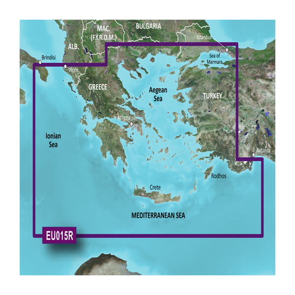
HXEU015R - Aegean Sea and Sea of Marmara
$260.00 Add to cartOverview
Premier Coastal Charts
- Industry-leading coverage, clarity and detail with updated coastal charts that feature integrated Garmin and Navionics® content
- Auto Guidance¹ technology quickly calculates a suggested route by using your desired depth and overhead clearance
- Includes Depth Range Shading for up to 10 depth ranges, enabling you to view your target depth at a glance
- Up to 1’ contours provide a more accurate depiction of the bottom structure for improved fishing charts
- To give a clear picture of shallow waters to avoid, the Shallow Water Shading allows for shading at a user-defined depth
Experience unparalleled coverage and brilliant detail when you’re on the water. BlueChart g3 Vision coastal charts provide industry-leading coverage, clarity and detail with integrated Garmin and Navionics content.
Auto Guidance
Whether you are fishing or cruising, select a spot, and get a route showing you the general path and nearby obstructions at a safe depth1.
High Resolution Relief Shading
This exceptional shading feature combines color and shadow to give you an easy-to-interpret view of bottom profile, making it easy to find artificial reefs, underwater shelves and more. High-resolution relief shading is available as a free downloadable feature via the ActiveCaptain® app.
Depth Range Shading
This feature displays high-resolution Depth Range Shading for up to 10 depth ranges so you can view your designated target depth.
Shallow Water Shading
To give a clear picture of shallow waters to avoid, this feature allows for shading at a user-defined depth.
Detailed Contours
BlueChart g3 Vision charts feature 1’ contours that provide a more accurate depiction of bottom structure for improved fishing charts and enhanced detail in swamps, canals and port plans.
High-resolution Satellite Imagery
High-resolution satellite imagery with navigational charts overlaid gives you a realistic view of your surroundings. It’s our most realistic charting display in a chartplotter — ideal for entering unfamiliar harbors or ports.
FishEye View
This underwater perspective shows 3-D representation of bottom and contours as seen from below the waterline. Interface with sonar data for a customized view.
MarinerEye View
This view provides a 3-D representation of the surrounding area both above and below the waterline.
Aerial Photography
Crystal-clear aerial photography shows exceptional detail of many ports, harbors and marinas and is ideal when entering unfamiliar ports.
¹Auto Guidance is for planning purposes only and does not replace safe navigation practices
-
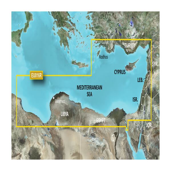
VEU016R-Mediterranean Southeast
$429.00 Add to cartOverview
Premier Coastal Charts
- Industry-leading coverage, clarity and detail with updated coastal charts that feature integrated Garmin and Navionics® content
- Auto Guidance¹ technology quickly calculates a suggested route by using your desired depth and overhead clearance
- Includes Depth Range Shading for up to 10 depth ranges, enabling you to view your target depth at a glance
- Up to 1’ contours provide a more accurate depiction of the bottom structure for improved fishing charts
- To give a clear picture of shallow waters to avoid, the Shallow Water Shading allows for shading at a user-defined depth
Experience unparalleled coverage and brilliant detail when you’re on the water. BlueChart g3 Vision coastal charts provide industry-leading coverage, clarity and detail with integrated Garmin and Navionics content.
Auto Guidance
Whether you are fishing or cruising, select a spot, and get a route showing you the general path and nearby obstructions at a safe depth1.
Depth Range Shading
This feature displays high-resolution Depth Range Shading for up to 10 depth ranges so you can view your designated target depth.
Shallow Water Shading
To give a clear picture of shallow waters to avoid, this feature allows for shading at a user-defined depth.
Detailed Contours
BlueChart g3 Vision charts feature 1’ contours that provide a more accurate depiction of bottom structure for improved fishing charts and enhanced detail in swamps, canals and port plans.
High-resolution Satellite Imagery
High-resolution satellite imagery with navigational charts overlaid gives you a realistic view of your surroundings. It’s our most realistic charting display in a chartplotter — ideal for entering unfamiliar harbors or ports.
FishEye View
This underwater perspective shows 3-D representation of bottom and contours as seen from below the waterline. Interface with sonar data for a customized view.
MarinerEye View
This view provides a 3-D representation of the surrounding area both above and below the waterline.
Aerial Photography
Crystal-clear aerial photography shows exceptional detail of many ports, harbors and marinas and is ideal when entering unfamiliar ports.
¹Auto Guidance is for planning purposes only and does not replace safe navigation practices
-
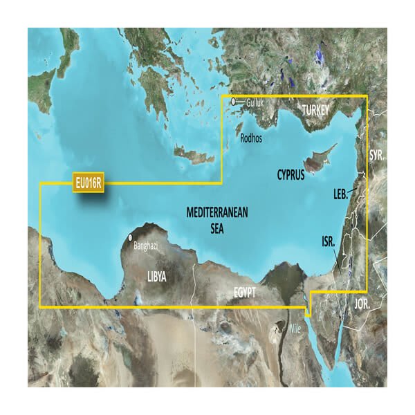
HXEU016R - Mediterranean Southeast
$219.00 Add to cartOverview
Premier Coastal Charts
- Industry-leading coverage, clarity and detail with updated coastal charts that feature integrated Garmin and Navionics® content
- Auto Guidance¹ technology quickly calculates a suggested route by using your desired depth and overhead clearance
- Includes Depth Range Shading for up to 10 depth ranges, enabling you to view your target depth at a glance
- Up to 1’ contours provide a more accurate depiction of the bottom structure for improved fishing charts
- To give a clear picture of shallow waters to avoid, the Shallow Water Shading allows for shading at a user-defined depth
Experience unparalleled coverage and brilliant detail when you’re on the water. BlueChart g3 Vision coastal charts provide industry-leading coverage, clarity and detail with integrated Garmin and Navionics content.
Auto Guidance
Whether you are fishing or cruising, select a spot, and get a route showing you the general path and nearby obstructions at a safe depth1.
Depth Range Shading
This feature displays high-resolution Depth Range Shading for up to 10 depth ranges so you can view your designated target depth.
Shallow Water Shading
To give a clear picture of shallow waters to avoid, this feature allows for shading at a user-defined depth.
Detailed Contours
BlueChart g3 Vision charts feature 1’ contours that provide a more accurate depiction of bottom structure for improved fishing charts and enhanced detail in swamps, canals and port plans.
High-resolution Satellite Imagery
High-resolution satellite imagery with navigational charts overlaid gives you a realistic view of your surroundings. It’s our most realistic charting display in a chartplotter — ideal for entering unfamiliar harbors or ports.
FishEye View
This underwater perspective shows 3-D representation of bottom and contours as seen from below the waterline. Interface with sonar data for a customized view.
MarinerEye View
This view provides a 3-D representation of the surrounding area both above and below the waterline.
Aerial Photography
Crystal-clear aerial photography shows exceptional detail of many ports, harbors and marinas and is ideal when entering unfamiliar ports.
¹Auto Guidance is for planning purposes only and does not replace safe navigation practices
-
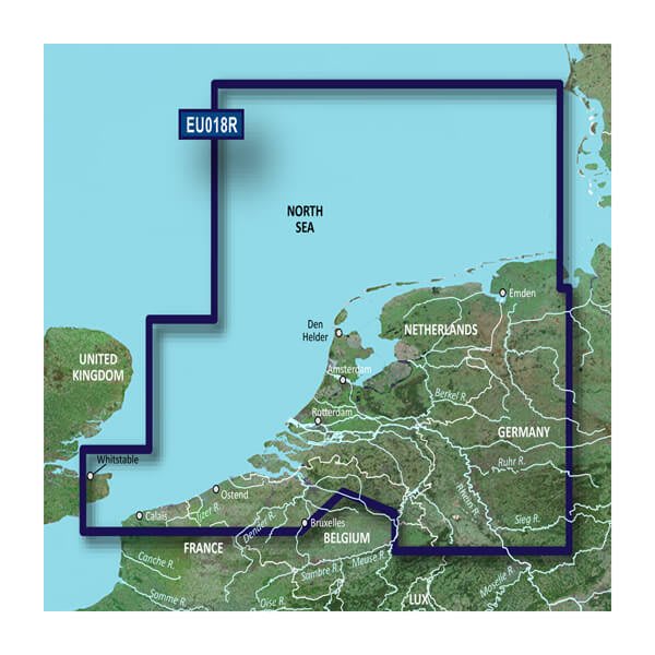
VEU018R-Benelux Offshore and Inland
$429.00 Add to cartOverview
Premier charts
- Provides exceptional coverage, clarity and detail with coastal charts that feature integrated Garmin and Navionics® data
- Auto Guidance1 technology quickly calculates a suggested route by using your desired depth and overhead clearance and provides a suggested path to follow
- Certain areas offer Relief Shading (downloadable via the ActiveCaptain App), which combines colour and shadow to give you an easy-to-interpret, clearer view of bottom structure
- Includes Depth Range Shading for up to 10 depth ranges, enabling you to view your target depth at a glance
- Up to 30 cm (1 ft) contours provide a more accurate depiction of the bottom structure for improved fishing charts
- To give a clear picture of shallow waters to avoid, the Shallow Water Shading feature allows for shading at a user-defined depth
Experience unparalleled coverage and brilliant detail when you're on the water. BlueChart® g3 Vision charts provide industry-leading coverage, clarity and detail with integrated Garmin and Navionics content.
Auto Guidance
Whether you are fishing or cruising, select a spot, and get a route showing you the general path and nearby obstructions at a safe depth1.
Relief shading
Available for the U.K., Ireland, Belgium, France, Germany, the Netherlands and Norway, this exceptional shading feature combines colour and shadow to give you an easy-to-interpret view of bottom profile, making it easy to find artificial reefs, underwater shelves and more. Relief Shading is available via download from the ActiveCaptain® app.
Depth Range Shading
This feature displays high-resolution Depth Range Shading for up to 10 depth ranges so you can view your designated target depth.
Shallow Water Shading
To give a clear picture of shallow waters to avoid, this feature allows for shading at a user-defined depth.
Detailed contours
BlueChart g3 charts feature 30 cm (1 ft) contours that provide a more accurate depiction of bottom structure for improved fishing charts and enhanced detail in swamps, canals and port plans.
High-resolution satellite imagery
High-resolution satellite imagery with navigational charts overlaid gives you a realistic view of your surroundings. It's our most realistic charting display in a chartplotter — ideal for entering unfamiliar harbours or ports.
FishEye view
This underwater perspective shows 3D representation of bottom and contours as seen from below the waterline. Interface with sonar data for a customised view.
MarinerEye view
This view provides a 3D representation of the surrounding area both above and below the waterline.
Aerial photography
Crystal-clear aerial photography shows exceptional detail of many ports, harbours and marinas and is ideal when entering unfamiliar ports.
1Auto Guidance is for planning purposes only and does not replace safe navigation practices.
-
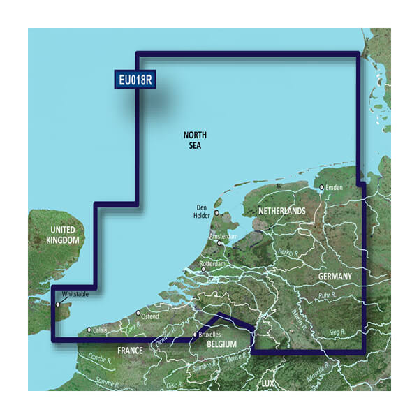
HXEU018R - Benelux Offshore and Inland
$219.00 Add to cartOverview
Premier charts
- Provides exceptional coverage, clarity and detail with coastal charts that feature integrated Garmin and Navionics® data
- Auto Guidance1 technology quickly calculates a suggested route by using your desired depth and overhead clearance and provides a suggested path to follow
- Certain areas offer Relief Shading (downloadable via the ActiveCaptain App), which combines colour and shadow to give you an easy-to-interpret, clearer view of bottom structure
- Includes Depth Range Shading for up to 10 depth ranges, enabling you to view your target depth at a glance
- Up to 30 cm (1 ft) contours provide a more accurate depiction of the bottom structure for improved fishing charts
- To give a clear picture of shallow waters to avoid, the Shallow Water Shading feature allows for shading at a user-defined depth
Experience unparalleled coverage and brilliant detail when you're on the water. BlueChart® g3 Vision charts provide industry-leading coverage, clarity and detail with integrated Garmin and Navionics content.
Auto Guidance
Whether you are fishing or cruising, select a spot, and get a route showing you the general path and nearby obstructions at a safe depth1.
Relief shading
Available for the U.K., Ireland, Belgium, France, Germany, the Netherlands and Norway, this exceptional shading feature combines colour and shadow to give you an easy-to-interpret view of bottom profile, making it easy to find artificial reefs, underwater shelves and more. Relief Shading is available via download from the ActiveCaptain® app.
Depth Range Shading
This feature displays high-resolution Depth Range Shading for up to 10 depth ranges so you can view your designated target depth.
Shallow Water Shading
To give a clear picture of shallow waters to avoid, this feature allows for shading at a user-defined depth.
Detailed contours
BlueChart g3 charts feature 30 cm (1 ft) contours that provide a more accurate depiction of bottom structure for improved fishing charts and enhanced detail in swamps, canals and port plans.
High-resolution satellite imagery
High-resolution satellite imagery with navigational charts overlaid gives you a realistic view of your surroundings. It's our most realistic charting display in a chartplotter — ideal for entering unfamiliar harbours or ports.
FishEye view
This underwater perspective shows 3D representation of bottom and contours as seen from below the waterline. Interface with sonar data for a customised view.
MarinerEye view
This view provides a 3D representation of the surrounding area both above and below the waterline.
Aerial photography
Crystal-clear aerial photography shows exceptional detail of many ports, harbours and marinas and is ideal when entering unfamiliar ports.
1Auto Guidance is for planning purposes only and does not replace safe navigation practices.
-
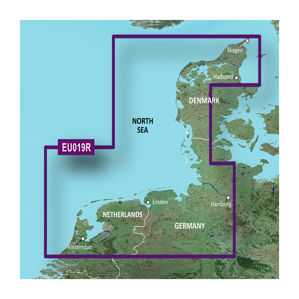
VEU019R-Alborg - Amsterdam
$429.00 Add to cartOverview
Premier charts
- Provides exceptional coverage, clarity and detail with coastal charts that feature integrated Garmin and Navionics® data
- Auto Guidance1 technology quickly calculates a suggested route by using your desired depth and overhead clearance and provides a suggested path to follow
- Certain areas offer Relief Shading (downloadable via the ActiveCaptain App), which combines colour and shadow to give you an easy-to-interpret, clearer view of bottom structure
- Includes Depth Range Shading for up to 10 depth ranges, enabling you to view your target depth at a glance
- Up to 30 cm (1 ft) contours provide a more accurate depiction of the bottom structure for improved fishing charts
- To give a clear picture of shallow waters to avoid, the Shallow Water Shading feature allows for shading at a user-defined depth
Experience unparalleled coverage and brilliant detail when you're on the water. BlueChart® g3 Vision charts provide industry-leading coverage, clarity and detail with integrated Garmin and Navionics content.
Auto Guidance
Whether you are fishing or cruising, select a spot, and get a route showing you the general path and nearby obstructions at a safe depth1.
Relief shading
Available for the U.K., Ireland, Belgium, France, Germany, the Netherlands and Norway, this exceptional shading feature combines colour and shadow to give you an easy-to-interpret view of bottom profile, making it easy to find artificial reefs, underwater shelves and more. Relief Shading is available via download from the ActiveCaptain® app.
Depth Range Shading
This feature displays high-resolution Depth Range Shading for up to 10 depth ranges so you can view your designated target depth.
Shallow Water Shading
To give a clear picture of shallow waters to avoid, this feature allows for shading at a user-defined depth.
Detailed contours
BlueChart g3 charts feature 30 cm (1 ft) contours that provide a more accurate depiction of bottom structure for improved fishing charts and enhanced detail in swamps, canals and port plans.
High-resolution satellite imagery
High-resolution satellite imagery with navigational charts overlaid gives you a realistic view of your surroundings. It's our most realistic charting display in a chartplotter — ideal for entering unfamiliar harbours or ports.
FishEye view
This underwater perspective shows 3D representation of bottom and contours as seen from below the waterline. Interface with sonar data for a customised view.
MarinerEye view
This view provides a 3D representation of the surrounding area both above and below the waterline.
Aerial photography
Crystal-clear aerial photography shows exceptional detail of many ports, harbours and marinas and is ideal when entering unfamiliar ports.
1Auto Guidance is for planning purposes only and does not replace safe navigation practices.
-
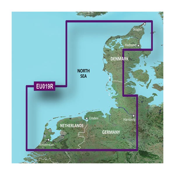
HXEU019R - Alborg - Amsterdam
$219.00 Add to cartOverview
Premier charts
- Provides exceptional coverage, clarity and detail with coastal charts that feature integrated Garmin and Navionics® data
- Auto Guidance1 technology quickly calculates a suggested route by using your desired depth and overhead clearance and provides a suggested path to follow
- Certain areas offer Relief Shading (downloadable via the ActiveCaptain App), which combines colour and shadow to give you an easy-to-interpret, clearer view of bottom structure
- Includes Depth Range Shading for up to 10 depth ranges, enabling you to view your target depth at a glance
- Up to 30 cm (1 ft) contours provide a more accurate depiction of the bottom structure for improved fishing charts
- To give a clear picture of shallow waters to avoid, the Shallow Water Shading feature allows for shading at a user-defined depth
Experience unparalleled coverage and brilliant detail when you're on the water. BlueChart® g3 Vision charts provide industry-leading coverage, clarity and detail with integrated Garmin and Navionics content.
Auto Guidance
Whether you are fishing or cruising, select a spot, and get a route showing you the general path and nearby obstructions at a safe depth1.
Relief shading
Available for the U.K., Ireland, Belgium, France, Germany, the Netherlands and Norway, this exceptional shading feature combines colour and shadow to give you an easy-to-interpret view of bottom profile, making it easy to find artificial reefs, underwater shelves and more. Relief Shading is available via download from the ActiveCaptain® app.
Depth Range Shading
This feature displays high-resolution Depth Range Shading for up to 10 depth ranges so you can view your designated target depth.
Shallow Water Shading
To give a clear picture of shallow waters to avoid, this feature allows for shading at a user-defined depth.
Detailed contours
BlueChart g3 charts feature 30 cm (1 ft) contours that provide a more accurate depiction of bottom structure for improved fishing charts and enhanced detail in swamps, canals and port plans.
High-resolution satellite imagery
High-resolution satellite imagery with navigational charts overlaid gives you a realistic view of your surroundings. It's our most realistic charting display in a chartplotter — ideal for entering unfamiliar harbours or ports.
FishEye view
This underwater perspective shows 3D representation of bottom and contours as seen from below the waterline. Interface with sonar data for a customised view.
MarinerEye view
This view provides a 3D representation of the surrounding area both above and below the waterline.
Aerial photography
Crystal-clear aerial photography shows exceptional detail of many ports, harbours and marinas and is ideal when entering unfamiliar ports.
1Auto Guidance is for planning purposes only and does not replace safe navigation practices.
-
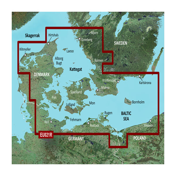
VEU021R-Denmark East-Sweden Southeast
$429.00 Add to cartOverview
Premier charts
- Provides exceptional coverage, clarity and detail with coastal charts that feature integrated Garmin and Navionics® data
- Auto Guidance1 technology quickly calculates a suggested route by using your desired depth and overhead clearance and provides a suggested path to follow
- Certain areas offer Relief Shading (downloadable via the ActiveCaptain App), which combines colour and shadow to give you an easy-to-interpret, clearer view of bottom structure
- Includes Depth Range Shading for up to 10 depth ranges, enabling you to view your target depth at a glance
- Up to 30 cm (1 ft) contours provide a more accurate depiction of the bottom structure for improved fishing charts
- To give a clear picture of shallow waters to avoid, the Shallow Water Shading feature allows for shading at a user-defined depth
Experience unparalleled coverage and brilliant detail when you're on the water. BlueChart® g3 Vision charts provide industry-leading coverage, clarity and detail with integrated Garmin and Navionics content.
Auto Guidance
Whether you are fishing or cruising, select a spot, and get a route showing you the general path and nearby obstructions at a safe depth1.
Relief shading
Available for the U.K., Ireland, Belgium, France, Germany, the Netherlands and Norway, this exceptional shading feature combines colour and shadow to give you an easy-to-interpret view of bottom profile, making it easy to find artificial reefs, underwater shelves and more. Relief Shading is available via download from the ActiveCaptain® app.
Depth Range Shading
This feature displays high-resolution Depth Range Shading for up to 10 depth ranges so you can view your designated target depth.
Shallow Water Shading
To give a clear picture of shallow waters to avoid, this feature allows for shading at a user-defined depth.
Detailed contours
BlueChart g3 charts feature 30 cm (1 ft) contours that provide a more accurate depiction of bottom structure for improved fishing charts and enhanced detail in swamps, canals and port plans.
High-resolution satellite imagery
High-resolution satellite imagery with navigational charts overlaid gives you a realistic view of your surroundings. It's our most realistic charting display in a chartplotter — ideal for entering unfamiliar harbours or ports.
FishEye view
This underwater perspective shows 3D representation of bottom and contours as seen from below the waterline. Interface with sonar data for a customised view.
MarinerEye view
This view provides a 3D representation of the surrounding area both above and below the waterline.
Aerial photography
Crystal-clear aerial photography shows exceptional detail of many ports, harbours and marinas and is ideal when entering unfamiliar ports.
1Auto Guidance is for planning purposes only and does not replace safe navigation practices.
-
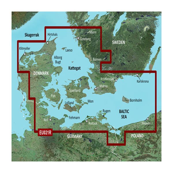
HXEU021R - Denmark East-Sweden Southeast
$219.00 Add to cartOverview
Premier charts
- Provides exceptional coverage, clarity and detail with coastal charts that feature integrated Garmin and Navionics® data
- Auto Guidance1 technology quickly calculates a suggested route by using your desired depth and overhead clearance and provides a suggested path to follow
- Certain areas offer Relief Shading (downloadable via the ActiveCaptain App), which combines colour and shadow to give you an easy-to-interpret, clearer view of bottom structure
- Includes Depth Range Shading for up to 10 depth ranges, enabling you to view your target depth at a glance
- Up to 30 cm (1 ft) contours provide a more accurate depiction of the bottom structure for improved fishing charts
- To give a clear picture of shallow waters to avoid, the Shallow Water Shading feature allows for shading at a user-defined depth
Experience unparalleled coverage and brilliant detail when you're on the water. BlueChart® g3 Vision charts provide industry-leading coverage, clarity and detail with integrated Garmin and Navionics content.
Auto Guidance
Whether you are fishing or cruising, select a spot, and get a route showing you the general path and nearby obstructions at a safe depth1.
Relief shading
Available for the U.K., Ireland, Belgium, France, Germany, the Netherlands and Norway, this exceptional shading feature combines colour and shadow to give you an easy-to-interpret view of bottom profile, making it easy to find artificial reefs, underwater shelves and more. Relief Shading is available via download from the ActiveCaptain® app.
Depth Range Shading
This feature displays high-resolution Depth Range Shading for up to 10 depth ranges so you can view your designated target depth.
Shallow Water Shading
To give a clear picture of shallow waters to avoid, this feature allows for shading at a user-defined depth.
Detailed contours
BlueChart g3 charts feature 30 cm (1 ft) contours that provide a more accurate depiction of bottom structure for improved fishing charts and enhanced detail in swamps, canals and port plans.
High-resolution satellite imagery
High-resolution satellite imagery with navigational charts overlaid gives you a realistic view of your surroundings. It's our most realistic charting display in a chartplotter — ideal for entering unfamiliar harbours or ports.
FishEye view
This underwater perspective shows 3D representation of bottom and contours as seen from below the waterline. Interface with sonar data for a customised view.
MarinerEye view
This view provides a 3D representation of the surrounding area both above and below the waterline.
Aerial photography
Crystal-clear aerial photography shows exceptional detail of many ports, harbours and marinas and is ideal when entering unfamiliar ports.
1Auto Guidance is for planning purposes only and does not replace safe navigation practices.
-
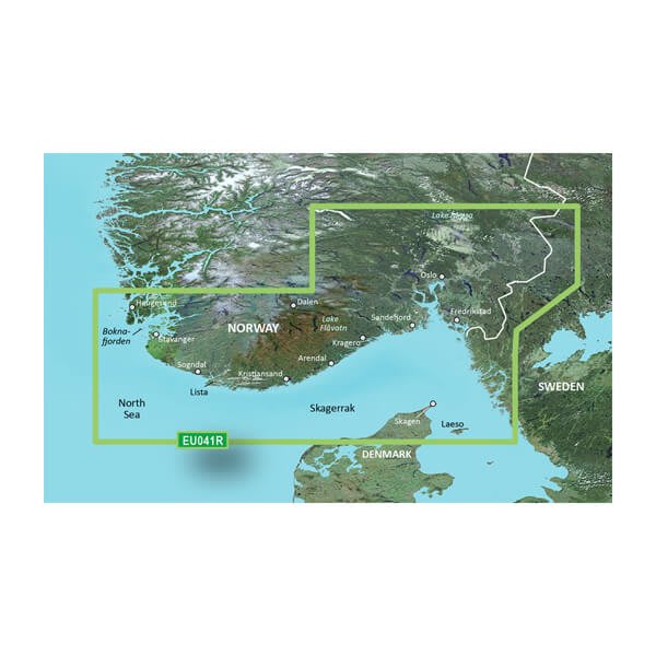
VEU041R-Oslo-Skagerak-Haugesund
$429.00 Add to cartOverview
Unparalleled Coastal Chart Coverage
- Provides exceptional coverage, clarity and detail with coastal charts that feature integrated Garmin and Navionics® data
- Auto Guidance¹ technology calculates a route using your desired depth and overhead clearance and provides a suggested path to follow
- Includes depth range shading for up to 10 depth ranges, enabling you to view your target depth at a glance
- Up to 1’ contours provide a more accurate depiction of the bottom structure for improved fishing charts and navigation in swamps, canals and marinas
Experience unparalleled coverage and brilliant detail when you’re on the water with charts that feature integrated Navionics® data, Auto Guidance technology¹ and more.
Auto Guidance Technology
Whether you are fishing or cruising, select a spot, and get a route showing you the general path and nearby obstructions at a safe depth1.
Depth Range Shading
This feature displays high-resolution depth range shading for up to 10 depth ranges so you can view your designated target depth.
Detailed Contours
BlueChart g3 charts feature 1’ contours that provide a more accurate depiction of bottom structure for improved fishing charts and enhanced detail in swamps, canals and port plans.
Shallow Water Shading
To aid in navigation, Shallow Water Shading allows map shading at a user-defined depth to give a clear picture of shallow waters.
¹Auto Guidance is for planning purposes only and does not replace safe navigation practices. Auto Guidance is not included in preloaded BlueChart g3 for ECHOMAP™ Plus series chartplotters
-
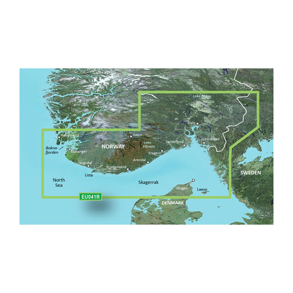
HXEU041R - Oslo-Skagerak-Haugesund
$219.00 Add to cartOverview
Unparalleled Coastal Chart Coverage
- Provides exceptional coverage, clarity and detail with coastal charts that feature integrated Garmin and Navionics® data
- Auto Guidance¹ technology calculates a route using your desired depth and overhead clearance and provides a suggested path to follow
- Includes depth range shading for up to 10 depth ranges, enabling you to view your target depth at a glance
- Up to 1’ contours provide a more accurate depiction of the bottom structure for improved fishing charts and navigation in swamps, canals and marinas
Experience unparalleled coverage and brilliant detail when you’re on the water with charts that feature integrated Navionics® data, Auto Guidance technology¹ and more.
Auto Guidance Technology
Whether you are fishing or cruising, select a spot, and get a route showing you the general path and nearby obstructions at a safe depth1.
Depth Range Shading
This feature displays high-resolution depth range shading for up to 10 depth ranges so you can view your designated target depth.
Detailed Contours
BlueChart g3 charts feature 1’ contours that provide a more accurate depiction of bottom structure for improved fishing charts and enhanced detail in swamps, canals and port plans.
Shallow Water Shading
To aid in navigation, Shallow Water Shading allows map shading at a user-defined depth to give a clear picture of shallow waters.
¹Auto Guidance is for planning purposes only and does not replace safe navigation practices. Auto Guidance is not included in preloaded BlueChart g3 for ECHOMAP™ Plus series chartplotters
-
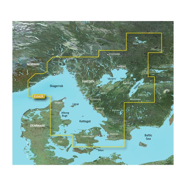
VEU042R-Oslo - Trelleborg
$429.00 Add to cartOverview
Unparalleled Coastal Chart Coverage
- Provides exceptional coverage, clarity and detail with coastal charts that feature integrated Garmin and Navionics® data
- Auto Guidance¹ technology calculates a route using your desired depth and overhead clearance and provides a suggested path to follow
- Includes depth range shading for up to 10 depth ranges, enabling you to view your target depth at a glance
- Up to 1’ contours provide a more accurate depiction of the bottom structure for improved fishing charts and navigation in swamps, canals and marinas
Experience unparalleled coverage and brilliant detail when you’re on the water with charts that feature integrated Navionics® data, Auto Guidance technology¹ and more.
Auto Guidance Technology
Whether you are fishing or cruising, select a spot, and get a route showing you the general path and nearby obstructions at a safe depth1.
Depth Range Shading
This feature displays high-resolution depth range shading for up to 10 depth ranges so you can view your designated target depth.
Detailed Contours
BlueChart g3 charts feature 1’ contours that provide a more accurate depiction of bottom structure for improved fishing charts and enhanced detail in swamps, canals and port plans.
Shallow Water Shading
To aid in navigation, Shallow Water Shading allows map shading at a user-defined depth to give a clear picture of shallow waters.
¹Auto Guidance is for planning purposes only and does not replace safe navigation practices. Auto Guidance is not included in preloaded BlueChart g3 for ECHOMAP™ Plus series chartplotters
-
HXEU042R - Oslo - Trelleborg
$219.00 Add to cartOverview
Unparalleled Coastal Chart Coverage
- Provides exceptional coverage, clarity and detail with coastal charts that feature integrated Garmin and Navionics® data
- Auto Guidance¹ technology calculates a route using your desired depth and overhead clearance and provides a suggested path to follow
- Includes depth range shading for up to 10 depth ranges, enabling you to view your target depth at a glance
- Up to 1’ contours provide a more accurate depiction of the bottom structure for improved fishing charts and navigation in swamps, canals and marinas
Experience unparalleled coverage and brilliant detail when you’re on the water with charts that feature integrated Navionics® data, Auto Guidance technology¹ and more.
Auto Guidance Technology
Whether you are fishing or cruising, select a spot, and get a route showing you the general path and nearby obstructions at a safe depth1.
Depth Range Shading
This feature displays high-resolution depth range shading for up to 10 depth ranges so you can view your designated target depth.
Detailed Contours
BlueChart g3 charts feature 1’ contours that provide a more accurate depiction of bottom structure for improved fishing charts and enhanced detail in swamps, canals and port plans.
Shallow Water Shading
To aid in navigation, Shallow Water Shading allows map shading at a user-defined depth to give a clear picture of shallow waters.
¹Auto Guidance is for planning purposes only and does not replace safe navigation practices. Auto Guidance is not included in preloaded BlueChart g3 for ECHOMAP™ Plus series chartplotters
-
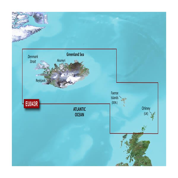
VEU043R-Iceland to Orkney
$429.00 Add to cartOverview
Unparalleled Coastal Chart Coverage
- Provides exceptional coverage, clarity and detail with coastal charts that feature integrated Garmin and Navionics® data
- Auto Guidance¹ technology calculates a route using your desired depth and overhead clearance and provides a suggested path to follow
- Includes depth range shading for up to 10 depth ranges, enabling you to view your target depth at a glance
- Up to 1’ contours provide a more accurate depiction of the bottom structure for improved fishing charts and navigation in swamps, canals and marinas
Experience unparalleled coverage and brilliant detail when you’re on the water with charts that feature integrated Navionics® data, Auto Guidance technology¹ and more.
Auto Guidance Technology
Whether you are fishing or cruising, select a spot, and get a route showing you the general path and nearby obstructions at a safe depth1.
Depth Range Shading
This feature displays high-resolution depth range shading for up to 10 depth ranges so you can view your designated target depth.
Detailed Contours
BlueChart g3 charts feature 1’ contours that provide a more accurate depiction of bottom structure for improved fishing charts and enhanced detail in swamps, canals and port plans.
Shallow Water Shading
To aid in navigation, Shallow Water Shading allows map shading at a user-defined depth to give a clear picture of shallow waters.
¹Auto Guidance is for planning purposes only and does not replace safe navigation practices. Auto Guidance is not included in preloaded BlueChart g3 for ECHOMAP™ Plus series chartplotters
-
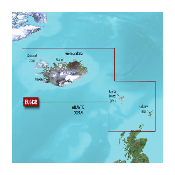
HXEU043R - Iceland to Orkney
$219.00 Add to cartOverview
Unparalleled Coastal Chart Coverage
- Provides exceptional coverage, clarity and detail with coastal charts that feature integrated Garmin and Navionics® data
- Auto Guidance¹ technology calculates a route using your desired depth and overhead clearance and provides a suggested path to follow
- Includes depth range shading for up to 10 depth ranges, enabling you to view your target depth at a glance
- Up to 1’ contours provide a more accurate depiction of the bottom structure for improved fishing charts and navigation in swamps, canals and marinas
Experience unparalleled coverage and brilliant detail when you’re on the water with charts that feature integrated Navionics® data, Auto Guidance technology¹ and more.
Auto Guidance Technology
Whether you are fishing or cruising, select a spot, and get a route showing you the general path and nearby obstructions at a safe depth1.
Depth Range Shading
This feature displays high-resolution depth range shading for up to 10 depth ranges so you can view your designated target depth.
Detailed Contours
BlueChart g3 charts feature 1’ contours that provide a more accurate depiction of bottom structure for improved fishing charts and enhanced detail in swamps, canals and port plans.
Shallow Water Shading
To aid in navigation, Shallow Water Shading allows map shading at a user-defined depth to give a clear picture of shallow waters.
¹Auto Guidance is for planning purposes only and does not replace safe navigation practices. Auto Guidance is not included in preloaded BlueChart g3 for ECHOMAP™ Plus series chartplotters
-
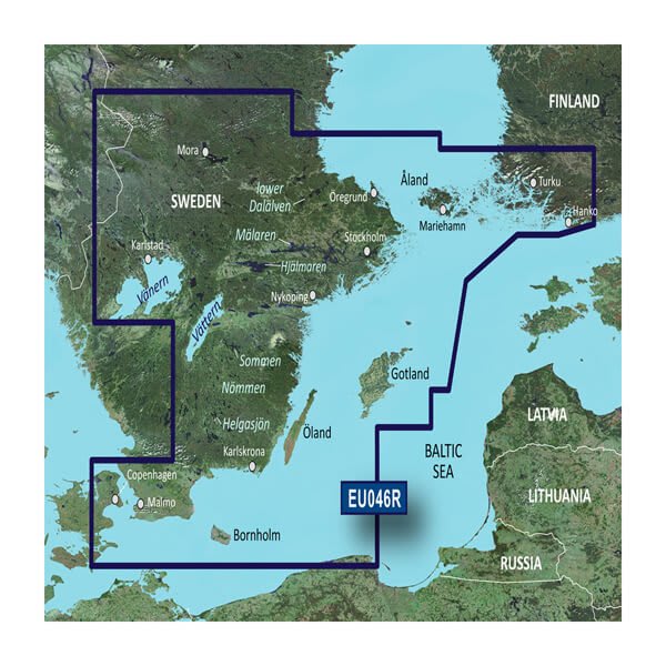
VEU046R-Sweden, South-East
$429.00 Add to cartOverview
Unparalleled Coastal Chart Coverage
- Provides industry-leading coverage, clarity and detail with updated coastal charts that feature integrated Garmin and Navionics® data
- Auto Guidance¹ technology calculates a route using your desired depth and overhead clearance and provides a suggested path to follow
- Includes Depth Range Shading for up to 10 depth ranges, enabling you to view your target depth at a glance
- Up to 1’ contours provide a more accurate depiction of the bottom structure for improved fishing charts and navigation in swamps, canals and marinas
- NOAA raster cartography is available as a free downloadable feature via the ActiveCaptain® app
BlueChart g3 coastal charts provide industry-leading coverage, clarity and detail with integrated Garmin and Navionics data. Also included is Auto Guidance1 technology, which uses your desired depth and overhead clearance to calculate routes and provide a suggested path to follow — overlaid onto your chart. NOAA raster cartography is also available as a free downloadable feature via the ActiveCaptain app. It gives your chartplotter paper chartlike views of NOAA-surveyed areas in which individual points of interest are labeled with corresponding longitude and latitude information. Worldwide coverage is available by regions as accessory cards or via download; each region is sold separately.
Auto Guidance Technology
The Auto Guidance feature¹ calculates a suggested route using your desired depth and overhead clearance.
Depth Range Shading
This feature displays high-resolution Depth Range Shading for up to 10 depth ranges so you can view your designated target depth.
Detailed Contours
BlueChart g3 charts feature 1’ contours that provide a more accurate depiction of bottom structure for improved fishing charts and enhanced detail in swamps, canals and port plans.
Shallow Water Shading
To aid in navigation, Shallow Water Shading allows map shading at a user-defined depth to give a clear picture of shallow waters to avoid.
NOAA Raster Cartography
This feature gives your chartplotter paper chartlike views of NOAA-surveyed areas in which points of interest are labeled with corresponding longitude and latitude information.
¹Auto Guidance is for planning purposes only and does not replace safe navigation practices. Auto Guidance is not included in preloaded BlueChart g3 for ECHOMAP™ Plus series chartplotters
-
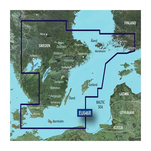
HXEU046R - Sweden, Southeast
$219.00 Add to cartOverview
Unparalleled Coastal Chart Coverage
- Provides industry-leading coverage, clarity and detail with updated coastal charts that feature integrated Garmin and Navionics® data
- Auto Guidance¹ technology calculates a route using your desired depth and overhead clearance and provides a suggested path to follow
- Includes Depth Range Shading for up to 10 depth ranges, enabling you to view your target depth at a glance
- Up to 1’ contours provide a more accurate depiction of the bottom structure for improved fishing charts and navigation in swamps, canals and marinas
- NOAA raster cartography is available as a free downloadable feature via the ActiveCaptain® app
BlueChart g3 coastal charts provide industry-leading coverage, clarity and detail with integrated Garmin and Navionics data. Also included is Auto Guidance1 technology, which uses your desired depth and overhead clearance to calculate routes and provide a suggested path to follow — overlaid onto your chart. NOAA raster cartography is also available as a free downloadable feature via the ActiveCaptain app. It gives your chartplotter paper chartlike views of NOAA-surveyed areas in which individual points of interest are labeled with corresponding longitude and latitude information. Worldwide coverage is available by regions as accessory cards or via download; each region is sold separately.
Auto Guidance Technology
The Auto Guidance feature¹ calculates a suggested route using your desired depth and overhead clearance.
Depth Range Shading
This feature displays high-resolution Depth Range Shading for up to 10 depth ranges so you can view your designated target depth.
Detailed Contours
BlueChart g3 charts feature 1’ contours that provide a more accurate depiction of bottom structure for improved fishing charts and enhanced detail in swamps, canals and port plans.
Shallow Water Shading
To aid in navigation, Shallow Water Shading allows map shading at a user-defined depth to give a clear picture of shallow waters to avoid.
NOAA Raster Cartography
This feature gives your chartplotter paper chartlike views of NOAA-surveyed areas in which points of interest are labeled with corresponding longitude and latitude information.
¹Auto Guidance is for planning purposes only and does not replace safe navigation practices. Auto Guidance is not included in preloaded BlueChart g3 for ECHOMAP™ Plus series chartplotters
-
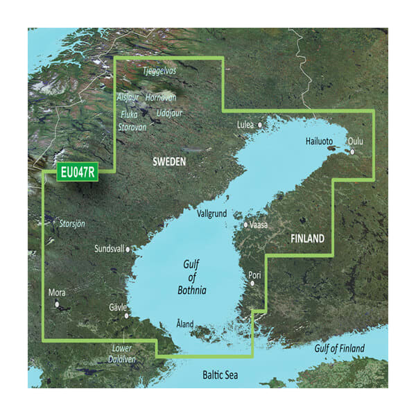
VEU047R-Gulf of Bothnia
$429.00 Add to cartOverview
Unparalleled Coastal Chart Coverage
- Provides industry-leading coverage, clarity and detail with updated coastal charts that feature integrated Garmin and Navionics® data
- Auto Guidance¹ technology calculates a route using your desired depth and overhead clearance and provides a suggested path to follow
- Includes Depth Range Shading for up to 10 depth ranges, enabling you to view your target depth at a glance
- Up to 1’ contours provide a more accurate depiction of the bottom structure for improved fishing charts and navigation in swamps, canals and marinas
- NOAA raster cartography is available as a free downloadable feature via the ActiveCaptain® app
BlueChart g3 coastal charts provide industry-leading coverage, clarity and detail with integrated Garmin and Navionics data. Also included is Auto Guidance1 technology, which uses your desired depth and overhead clearance to calculate routes and provide a suggested path to follow — overlaid onto your chart. NOAA raster cartography is also available as a free downloadable feature via the ActiveCaptain app. It gives your chartplotter paper chartlike views of NOAA-surveyed areas in which individual points of interest are labeled with corresponding longitude and latitude information. Worldwide coverage is available by regions as accessory cards or via download; each region is sold separately.
Auto Guidance Technology
The Auto Guidance feature¹ calculates a suggested route using your desired depth and overhead clearance.
Depth Range Shading
This feature displays high-resolution Depth Range Shading for up to 10 depth ranges so you can view your designated target depth.
Detailed Contours
BlueChart g3 charts feature 1’ contours that provide a more accurate depiction of bottom structure for improved fishing charts and enhanced detail in swamps, canals and port plans.
Shallow Water Shading
To aid in navigation, Shallow Water Shading allows map shading at a user-defined depth to give a clear picture of shallow waters to avoid.
NOAA Raster Cartography
This feature gives your chartplotter paper chartlike views of NOAA-surveyed areas in which points of interest are labeled with corresponding longitude and latitude information.
¹Auto Guidance is for planning purposes only and does not replace safe navigation practices. Auto Guidance is not included in preloaded BlueChart g3 for ECHOMAP™ Plus series chartplotters
-
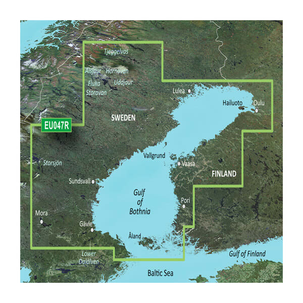
HXEU047R - Gulf of Bothnia
$219.00 Add to cartOverview
Unparalleled Coastal Chart Coverage
- Provides industry-leading coverage, clarity and detail with updated coastal charts that feature integrated Garmin and Navionics® data
- Auto Guidance¹ technology calculates a route using your desired depth and overhead clearance and provides a suggested path to follow
- Includes Depth Range Shading for up to 10 depth ranges, enabling you to view your target depth at a glance
- Up to 1’ contours provide a more accurate depiction of the bottom structure for improved fishing charts and navigation in swamps, canals and marinas
- NOAA raster cartography is available as a free downloadable feature via the ActiveCaptain® app
BlueChart g3 coastal charts provide industry-leading coverage, clarity and detail with integrated Garmin and Navionics data. Also included is Auto Guidance1 technology, which uses your desired depth and overhead clearance to calculate routes and provide a suggested path to follow — overlaid onto your chart. NOAA raster cartography is also available as a free downloadable feature via the ActiveCaptain app. It gives your chartplotter paper chartlike views of NOAA-surveyed areas in which individual points of interest are labeled with corresponding longitude and latitude information. Worldwide coverage is available by regions as accessory cards or via download; each region is sold separately.
Auto Guidance Technology
The Auto Guidance feature¹ calculates a suggested route using your desired depth and overhead clearance.
Depth Range Shading
This feature displays high-resolution Depth Range Shading for up to 10 depth ranges so you can view your designated target depth.
Detailed Contours
BlueChart g3 charts feature 1’ contours that provide a more accurate depiction of bottom structure for improved fishing charts and enhanced detail in swamps, canals and port plans.
Shallow Water Shading
To aid in navigation, Shallow Water Shading allows map shading at a user-defined depth to give a clear picture of shallow waters to avoid.
NOAA Raster Cartography
This feature gives your chartplotter paper chartlike views of NOAA-surveyed areas in which points of interest are labeled with corresponding longitude and latitude information.
¹Auto Guidance is for planning purposes only and does not replace safe navigation practices. Auto Guidance is not included in preloaded BlueChart g3 for ECHOMAP™ Plus series chartplotters
-
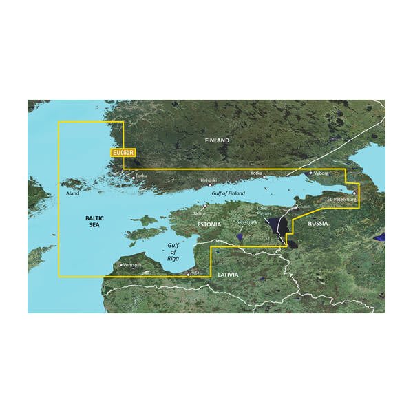
VEU050R-Gulfs of Finland and Riga
$429.00 Add to cartOverview
Unparalleled Coastal Chart Coverage
- Provides exceptional coverage, clarity and detail with coastal charts that feature integrated Garmin and Navionics® data
- Auto Guidance¹ technology calculates a route using your desired depth and overhead clearance and provides a suggested path to follow
- Includes depth range shading for up to 10 depth ranges, enabling you to view your target depth at a glance
- Up to 1’ contours provide a more accurate depiction of the bottom structure for improved fishing charts and navigation in swamps, canals and marinas
Experience unparalleled coverage and brilliant detail when you’re on the water with charts that feature integrated Navionics® data, Auto Guidance technology¹ and more.
Auto Guidance Technology
Whether you are fishing or cruising, select a spot, and get a route showing you the general path and nearby obstructions at a safe depth1.
Depth Range Shading
This feature displays high-resolution depth range shading for up to 10 depth ranges so you can view your designated target depth.
Detailed Contours
BlueChart g3 charts feature 1’ contours that provide a more accurate depiction of bottom structure for improved fishing charts and enhanced detail in swamps, canals and port plans.
Shallow Water Shading
To aid in navigation, Shallow Water Shading allows map shading at a user-defined depth to give a clear picture of shallow waters.
¹Auto Guidance is for planning purposes only and does not replace safe navigation practices. Auto Guidance is not included in preloaded BlueChart g3 for ECHOMAP™ Plus series chartplotters
-
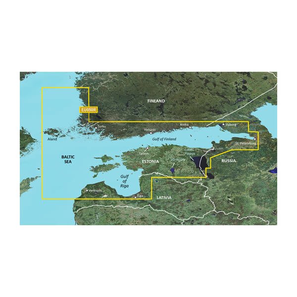
HXEU050R - Gulfs of Finland and Riga
$219.00 Add to cartOverview
Unparalleled Coastal Chart Coverage
- Provides exceptional coverage, clarity and detail with coastal charts that feature integrated Garmin and Navionics® data
- Auto Guidance¹ technology calculates a route using your desired depth and overhead clearance and provides a suggested path to follow
- Includes depth range shading for up to 10 depth ranges, enabling you to view your target depth at a glance
- Up to 1’ contours provide a more accurate depiction of the bottom structure for improved fishing charts and navigation in swamps, canals and marinas
Experience unparalleled coverage and brilliant detail when you’re on the water with charts that feature integrated Navionics® data, Auto Guidance technology¹ and more.
Auto Guidance Technology
Whether you are fishing or cruising, select a spot, and get a route showing you the general path and nearby obstructions at a safe depth1.
Depth Range Shading
This feature displays high-resolution depth range shading for up to 10 depth ranges so you can view your designated target depth.
Detailed Contours
BlueChart g3 charts feature 1’ contours that provide a more accurate depiction of bottom structure for improved fishing charts and enhanced detail in swamps, canals and port plans.
Shallow Water Shading
To aid in navigation, Shallow Water Shading allows map shading at a user-defined depth to give a clear picture of shallow waters.
¹Auto Guidance is for planning purposes only and does not replace safe navigation practices. Auto Guidance is not included in preloaded BlueChart g3 for ECHOMAP™ Plus series chartplotters
-
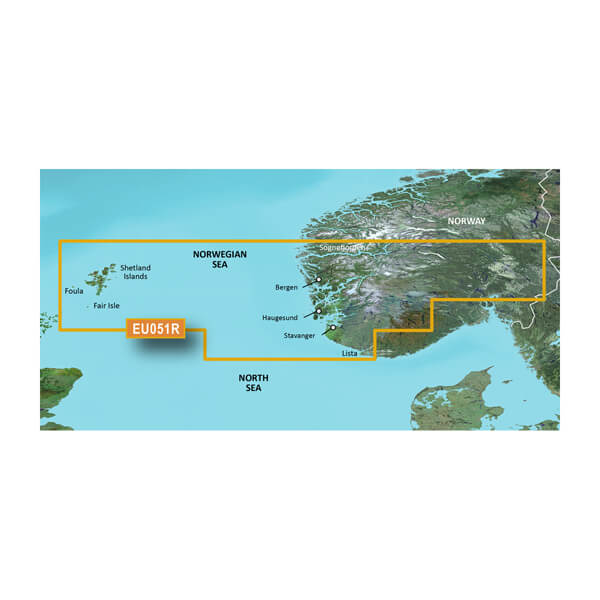
VEU051R-Lista - Sognefjorden
$429.00 Add to cartOverview
Unparalleled Coastal Chart Coverage
- Provides exceptional coverage, clarity and detail with coastal charts that feature integrated Garmin and Navionics® data
- Auto Guidance¹ technology calculates a route using your desired depth and overhead clearance and provides a suggested path to follow
- Includes depth range shading for up to 10 depth ranges, enabling you to view your target depth at a glance
- Up to 1’ contours provide a more accurate depiction of the bottom structure for improved fishing charts and navigation in swamps, canals and marinas
Experience unparalleled coverage and brilliant detail when you’re on the water with charts that feature integrated Navionics® data, Auto Guidance technology¹ and more.
Auto Guidance Technology
Whether you are fishing or cruising, select a spot, and get a route showing you the general path and nearby obstructions at a safe depth1.
Depth Range Shading
This feature displays high-resolution depth range shading for up to 10 depth ranges so you can view your designated target depth.
Detailed Contours
BlueChart g3 charts feature 1’ contours that provide a more accurate depiction of bottom structure for improved fishing charts and enhanced detail in swamps, canals and port plans.
Shallow Water Shading
To aid in navigation, Shallow Water Shading allows map shading at a user-defined depth to give a clear picture of shallow waters.
¹Auto Guidance is for planning purposes only and does not replace safe navigation practices. Auto Guidance is not included in preloaded BlueChart g3 for ECHOMAP™ Plus series chartplotters
-
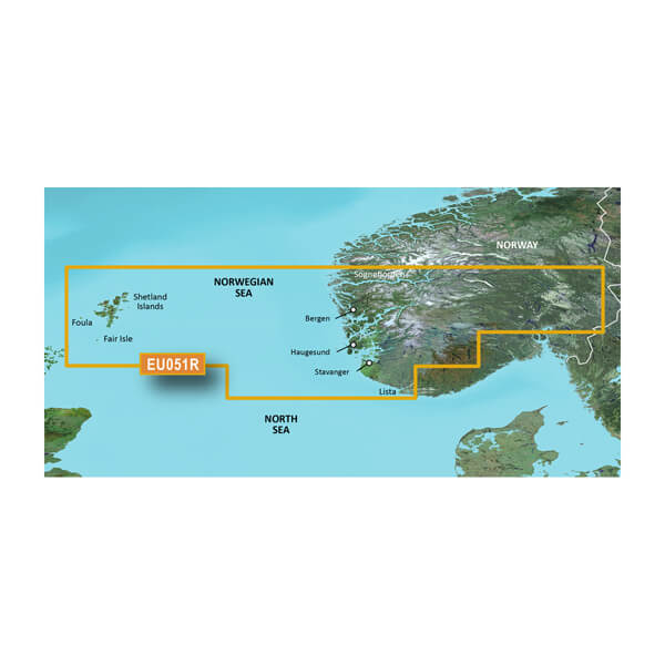
HXEU051R - Lista - Sognefjorden
$219.00 Add to cartOverview
Unparalleled Coastal Chart Coverage
- Provides exceptional coverage, clarity and detail with coastal charts that feature integrated Garmin and Navionics® data
- Auto Guidance¹ technology calculates a route using your desired depth and overhead clearance and provides a suggested path to follow
- Includes depth range shading for up to 10 depth ranges, enabling you to view your target depth at a glance
- Up to 1’ contours provide a more accurate depiction of the bottom structure for improved fishing charts and navigation in swamps, canals and marinas
Experience unparalleled coverage and brilliant detail when you’re on the water with charts that feature integrated Navionics® data, Auto Guidance technology¹ and more.
Auto Guidance Technology
Whether you are fishing or cruising, select a spot, and get a route showing you the general path and nearby obstructions at a safe depth1.
Depth Range Shading
This feature displays high-resolution depth range shading for up to 10 depth ranges so you can view your designated target depth.
Detailed Contours
BlueChart g3 charts feature 1’ contours that provide a more accurate depiction of bottom structure for improved fishing charts and enhanced detail in swamps, canals and port plans.
Shallow Water Shading
To aid in navigation, Shallow Water Shading allows map shading at a user-defined depth to give a clear picture of shallow waters.
¹Auto Guidance is for planning purposes only and does not replace safe navigation practices. Auto Guidance is not included in preloaded BlueChart g3 for ECHOMAP™ Plus series chartplotters
-
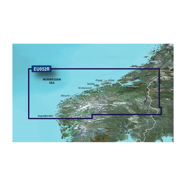
VEU052R-Sognefjorden - Svesfjorden
$429.00 Add to cartOverview
Premier charts
- Provides exceptional coverage, clarity and detail with coastal charts that feature integrated Garmin and Navionics® data
- Auto Guidance1 technology quickly calculates a suggested route by using your desired depth and overhead clearance and provides a suggested path to follow
- Certain areas offer Relief Shading (downloadable via the ActiveCaptain App), which combines colour and shadow to give you an easy-to-interpret, clearer view of bottom structure
- Includes Depth Range Shading for up to 10 depth ranges, enabling you to view your target depth at a glance
- Up to 30 cm (1 ft) contours provide a more accurate depiction of the bottom structure for improved fishing charts
- To give a clear picture of shallow waters to avoid, the Shallow Water Shading feature allows for shading at a user-defined depth
Experience unparalleled coverage and brilliant detail when you're on the water. BlueChart® g3 Vision charts provide industry-leading coverage, clarity and detail with integrated Garmin and Navionics content.
Auto Guidance
Whether you are fishing or cruising, select a spot, and get a route showing you the general path and nearby obstructions at a safe depth1.
Relief shading
Available for the U.K., Ireland, Belgium, France, Germany, the Netherlands and Norway, this exceptional shading feature combines colour and shadow to give you an easy-to-interpret view of bottom profile, making it easy to find artificial reefs, underwater shelves and more. Relief Shading is available via download from the ActiveCaptain® app.
Depth Range Shading
This feature displays high-resolution Depth Range Shading for up to 10 depth ranges so you can view your designated target depth.
Shallow Water Shading
To give a clear picture of shallow waters to avoid, this feature allows for shading at a user-defined depth.
Detailed contours
BlueChart g3 charts feature 30 cm (1 ft) contours that provide a more accurate depiction of bottom structure for improved fishing charts and enhanced detail in swamps, canals and port plans.
High-resolution satellite imagery
High-resolution satellite imagery with navigational charts overlaid gives you a realistic view of your surroundings. It's our most realistic charting display in a chartplotter — ideal for entering unfamiliar harbours or ports.
FishEye view
This underwater perspective shows 3D representation of bottom and contours as seen from below the waterline. Interface with sonar data for a customised view.
MarinerEye view
This view provides a 3D representation of the surrounding area both above and below the waterline.
Aerial photography
Crystal-clear aerial photography shows exceptional detail of many ports, harbours and marinas and is ideal when entering unfamiliar ports.
1Auto Guidance is for planning purposes only and does not replace safe navigation practices.
-
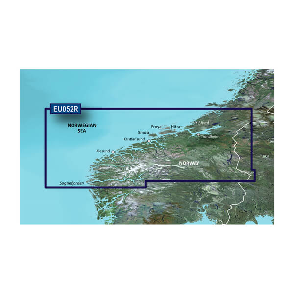
HXEU052R - Sognefjorden - Svesfjorden
$219.00 Add to cartOverview
Premier charts
- Provides exceptional coverage, clarity and detail with coastal charts that feature integrated Garmin and Navionics® data
- Auto Guidance1 technology quickly calculates a suggested route by using your desired depth and overhead clearance and provides a suggested path to follow
- Certain areas offer Relief Shading (downloadable via the ActiveCaptain App), which combines colour and shadow to give you an easy-to-interpret, clearer view of bottom structure
- Includes Depth Range Shading for up to 10 depth ranges, enabling you to view your target depth at a glance
- Up to 30 cm (1 ft) contours provide a more accurate depiction of the bottom structure for improved fishing charts
- To give a clear picture of shallow waters to avoid, the Shallow Water Shading feature allows for shading at a user-defined depth
Experience unparalleled coverage and brilliant detail when you're on the water. BlueChart® g3 Vision charts provide industry-leading coverage, clarity and detail with integrated Garmin and Navionics content.
Auto Guidance
Whether you are fishing or cruising, select a spot, and get a route showing you the general path and nearby obstructions at a safe depth1.
Relief shading
Available for the U.K., Ireland, Belgium, France, Germany, the Netherlands and Norway, this exceptional shading feature combines colour and shadow to give you an easy-to-interpret view of bottom profile, making it easy to find artificial reefs, underwater shelves and more. Relief Shading is available via download from the ActiveCaptain® app.
Depth Range Shading
This feature displays high-resolution Depth Range Shading for up to 10 depth ranges so you can view your designated target depth.
Shallow Water Shading
To give a clear picture of shallow waters to avoid, this feature allows for shading at a user-defined depth.
Detailed contours
BlueChart g3 charts feature 30 cm (1 ft) contours that provide a more accurate depiction of bottom structure for improved fishing charts and enhanced detail in swamps, canals and port plans.
High-resolution satellite imagery
High-resolution satellite imagery with navigational charts overlaid gives you a realistic view of your surroundings. It's our most realistic charting display in a chartplotter — ideal for entering unfamiliar harbours or ports.
FishEye view
This underwater perspective shows 3D representation of bottom and contours as seen from below the waterline. Interface with sonar data for a customised view.
MarinerEye view
This view provides a 3D representation of the surrounding area both above and below the waterline.
Aerial photography
Crystal-clear aerial photography shows exceptional detail of many ports, harbours and marinas and is ideal when entering unfamiliar ports.
1Auto Guidance is for planning purposes only and does not replace safe navigation practices.
-
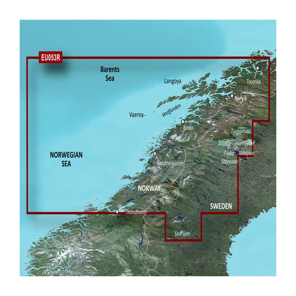
VEU053R - Trondheim-Tromsø
$429.00 Add to cartOverview
Premier charts
- Provides exceptional coverage, clarity and detail with coastal charts that feature integrated Garmin and Navionics® data
- Auto Guidance1 technology quickly calculates a suggested route by using your desired depth and overhead clearance and provides a suggested path to follow
- Certain areas offer Relief Shading (downloadable via the ActiveCaptain App), which combines colour and shadow to give you an easy-to-interpret, clearer view of bottom structure
- Includes Depth Range Shading for up to 10 depth ranges, enabling you to view your target depth at a glance
- Up to 30 cm (1 ft) contours provide a more accurate depiction of the bottom structure for improved fishing charts
- To give a clear picture of shallow waters to avoid, the Shallow Water Shading feature allows for shading at a user-defined depth
Experience unparalleled coverage and brilliant detail when you're on the water. BlueChart® g3 Vision charts provide industry-leading coverage, clarity and detail with integrated Garmin and Navionics content.
Auto Guidance
Whether you are fishing or cruising, select a spot, and get a route showing you the general path and nearby obstructions at a safe depth1.
Relief shading
Available for the U.K., Ireland, Belgium, France, Germany, the Netherlands and Norway, this exceptional shading feature combines colour and shadow to give you an easy-to-interpret view of bottom profile, making it easy to find artificial reefs, underwater shelves and more. Relief Shading is available via download from the ActiveCaptain® app.
Depth Range Shading
This feature displays high-resolution Depth Range Shading for up to 10 depth ranges so you can view your designated target depth.
Shallow Water Shading
To give a clear picture of shallow waters to avoid, this feature allows for shading at a user-defined depth.
Detailed contours
BlueChart g3 charts feature 30 cm (1 ft) contours that provide a more accurate depiction of bottom structure for improved fishing charts and enhanced detail in swamps, canals and port plans.
High-resolution satellite imagery
High-resolution satellite imagery with navigational charts overlaid gives you a realistic view of your surroundings. It's our most realistic charting display in a chartplotter — ideal for entering unfamiliar harbours or ports.
FishEye view
This underwater perspective shows 3D representation of bottom and contours as seen from below the waterline. Interface with sonar data for a customised view.
MarinerEye view
This view provides a 3D representation of the surrounding area both above and below the waterline.
Aerial photography
Crystal-clear aerial photography shows exceptional detail of many ports, harbours and marinas and is ideal when entering unfamiliar ports.
1Auto Guidance is for planning purposes only and does not replace safe navigation practices.
-
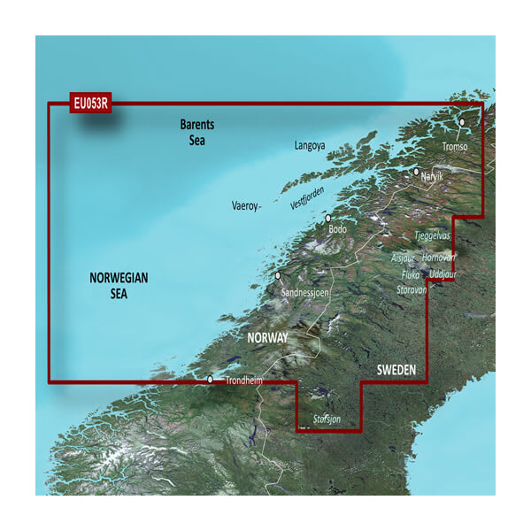
HXEU053R - Trondheim-Tromsø
$219.00 Add to cartOverview
Premier charts
- Provides exceptional coverage, clarity and detail with coastal charts that feature integrated Garmin and Navionics® data
- Auto Guidance1 technology quickly calculates a suggested route by using your desired depth and overhead clearance and provides a suggested path to follow
- Certain areas offer Relief Shading (downloadable via the ActiveCaptain App), which combines colour and shadow to give you an easy-to-interpret, clearer view of bottom structure
- Includes Depth Range Shading for up to 10 depth ranges, enabling you to view your target depth at a glance
- Up to 30 cm (1 ft) contours provide a more accurate depiction of the bottom structure for improved fishing charts
- To give a clear picture of shallow waters to avoid, the Shallow Water Shading feature allows for shading at a user-defined depth
Experience unparalleled coverage and brilliant detail when you're on the water. BlueChart® g3 Vision charts provide industry-leading coverage, clarity and detail with integrated Garmin and Navionics content.
Auto Guidance
Whether you are fishing or cruising, select a spot, and get a route showing you the general path and nearby obstructions at a safe depth1.
Relief shading
Available for the U.K., Ireland, Belgium, France, Germany, the Netherlands and Norway, this exceptional shading feature combines colour and shadow to give you an easy-to-interpret view of bottom profile, making it easy to find artificial reefs, underwater shelves and more. Relief Shading is available via download from the ActiveCaptain® app.
Depth Range Shading
This feature displays high-resolution Depth Range Shading for up to 10 depth ranges so you can view your designated target depth.
Shallow Water Shading
To give a clear picture of shallow waters to avoid, this feature allows for shading at a user-defined depth.
Detailed contours
BlueChart g3 charts feature 30 cm (1 ft) contours that provide a more accurate depiction of bottom structure for improved fishing charts and enhanced detail in swamps, canals and port plans.
High-resolution satellite imagery
High-resolution satellite imagery with navigational charts overlaid gives you a realistic view of your surroundings. It's our most realistic charting display in a chartplotter — ideal for entering unfamiliar harbours or ports.
FishEye view
This underwater perspective shows 3D representation of bottom and contours as seen from below the waterline. Interface with sonar data for a customised view.
MarinerEye view
This view provides a 3D representation of the surrounding area both above and below the waterline.
Aerial photography
Crystal-clear aerial photography shows exceptional detail of many ports, harbours and marinas and is ideal when entering unfamiliar ports.
1Auto Guidance is for planning purposes only and does not replace safe navigation practices.
-

VEU054R - Vestfjd-Svalbard-Varanger
$429.00 Add to cartOverview
Premier charts
- Provides exceptional coverage, clarity and detail with coastal charts that feature integrated Garmin and Navionics® data
- Auto Guidance1 technology quickly calculates a suggested route by using your desired depth and overhead clearance and provides a suggested path to follow
- Certain areas offer Relief Shading (downloadable via the ActiveCaptain App), which combines colour and shadow to give you an easy-to-interpret, clearer view of bottom structure
- Includes Depth Range Shading for up to 10 depth ranges, enabling you to view your target depth at a glance
- Up to 30 cm (1 ft) contours provide a more accurate depiction of the bottom structure for improved fishing charts
- To give a clear picture of shallow waters to avoid, the Shallow Water Shading feature allows for shading at a user-defined depth
Experience unparalleled coverage and brilliant detail when you're on the water. BlueChart® g3 Vision charts provide industry-leading coverage, clarity and detail with integrated Garmin and Navionics content.
Auto Guidance
Whether you are fishing or cruising, select a spot, and get a route showing you the general path and nearby obstructions at a safe depth1.
Relief shading
Available for the U.K., Ireland, Belgium, France, Germany, the Netherlands and Norway, this exceptional shading feature combines colour and shadow to give you an easy-to-interpret view of bottom profile, making it easy to find artificial reefs, underwater shelves and more. Relief Shading is available via download from the ActiveCaptain® app.
Depth Range Shading
This feature displays high-resolution Depth Range Shading for up to 10 depth ranges so you can view your designated target depth.
Shallow Water Shading
To give a clear picture of shallow waters to avoid, this feature allows for shading at a user-defined depth.
Detailed contours
BlueChart g3 charts feature 30 cm (1 ft) contours that provide a more accurate depiction of bottom structure for improved fishing charts and enhanced detail in swamps, canals and port plans.
High-resolution satellite imagery
High-resolution satellite imagery with navigational charts overlaid gives you a realistic view of your surroundings. It's our most realistic charting display in a chartplotter — ideal for entering unfamiliar harbours or ports.
FishEye view
This underwater perspective shows 3D representation of bottom and contours as seen from below the waterline. Interface with sonar data for a customised view.
MarinerEye view
This view provides a 3D representation of the surrounding area both above and below the waterline.
Aerial photography
Crystal-clear aerial photography shows exceptional detail of many ports, harbours and marinas and is ideal when entering unfamiliar ports.
1Auto Guidance is for planning purposes only and does not replace safe navigation practices.
-
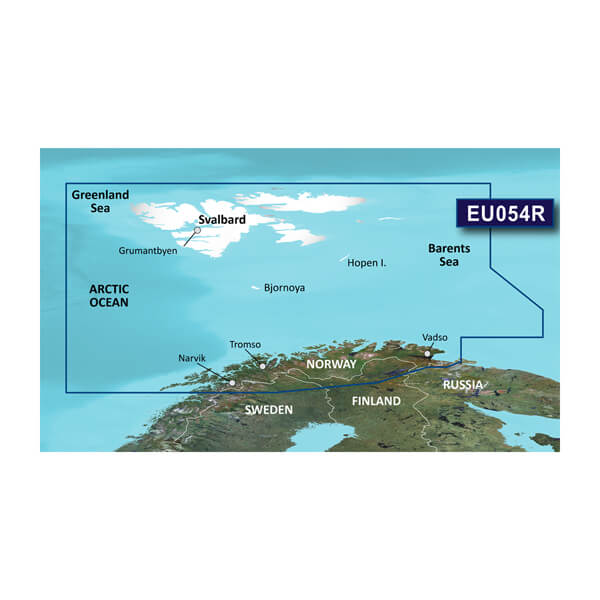
HXEU054R - Vestfjd-Svalbard-Varanger
$219.00 Add to cartOverview
Premier charts
- Provides exceptional coverage, clarity and detail with coastal charts that feature integrated Garmin and Navionics® data
- Auto Guidance1 technology quickly calculates a suggested route by using your desired depth and overhead clearance and provides a suggested path to follow
- Certain areas offer Relief Shading (downloadable via the ActiveCaptain App), which combines colour and shadow to give you an easy-to-interpret, clearer view of bottom structure
- Includes Depth Range Shading for up to 10 depth ranges, enabling you to view your target depth at a glance
- Up to 30 cm (1 ft) contours provide a more accurate depiction of the bottom structure for improved fishing charts
- To give a clear picture of shallow waters to avoid, the Shallow Water Shading feature allows for shading at a user-defined depth
Experience unparalleled coverage and brilliant detail when you're on the water. BlueChart® g3 Vision charts provide industry-leading coverage, clarity and detail with integrated Garmin and Navionics content.
Auto Guidance
Whether you are fishing or cruising, select a spot, and get a route showing you the general path and nearby obstructions at a safe depth1.
Relief shading
Available for the U.K., Ireland, Belgium, France, Germany, the Netherlands and Norway, this exceptional shading feature combines colour and shadow to give you an easy-to-interpret view of bottom profile, making it easy to find artificial reefs, underwater shelves and more. Relief Shading is available via download from the ActiveCaptain® app.
Depth Range Shading
This feature displays high-resolution Depth Range Shading for up to 10 depth ranges so you can view your designated target depth.
Shallow Water Shading
To give a clear picture of shallow waters to avoid, this feature allows for shading at a user-defined depth.
Detailed contours
BlueChart g3 charts feature 30 cm (1 ft) contours that provide a more accurate depiction of bottom structure for improved fishing charts and enhanced detail in swamps, canals and port plans.
High-resolution satellite imagery
High-resolution satellite imagery with navigational charts overlaid gives you a realistic view of your surroundings. It's our most realistic charting display in a chartplotter — ideal for entering unfamiliar harbours or ports.
FishEye view
This underwater perspective shows 3D representation of bottom and contours as seen from below the waterline. Interface with sonar data for a customised view.
MarinerEye view
This view provides a 3D representation of the surrounding area both above and below the waterline.
Aerial photography
Crystal-clear aerial photography shows exceptional detail of many ports, harbours and marinas and is ideal when entering unfamiliar ports.
1Auto Guidance is for planning purposes only and does not replace safe navigation practices.
-
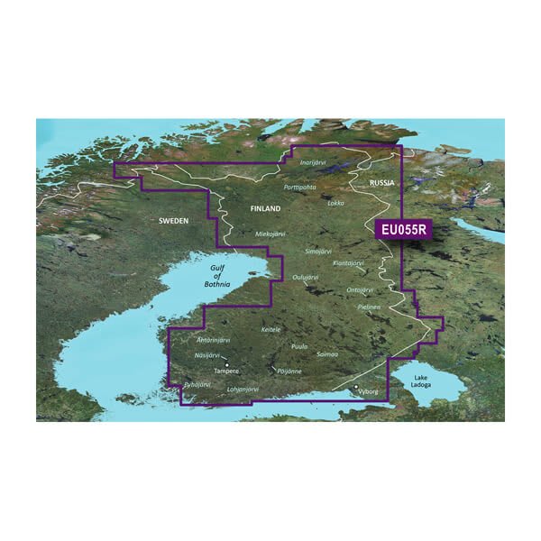
VEU055R - Finnish Lakes
$429.00 Add to cartOverview
Premier Coastal Charts
- Industry-leading coverage, clarity and detail with updated coastal charts that feature integrated Garmin and Navionics® content
- Auto Guidance¹ technology quickly calculates a suggested route by using your desired depth and overhead clearance
- Includes Depth Range Shading for up to 10 depth ranges, enabling you to view your target depth at a glance
- Up to 1’ contours provide a more accurate depiction of the bottom structure for improved fishing charts
- To give a clear picture of shallow waters to avoid, the Shallow Water Shading allows for shading at a user-defined depth
Experience unparalleled coverage and brilliant detail when you’re on the water. BlueChart g3 Vision coastal charts provide industry-leading coverage, clarity and detail with integrated Garmin and Navionics content.
Auto Guidance
Whether you are fishing or cruising, select a spot, and get a route showing you the general path and nearby obstructions at a safe depth1.
Depth Range Shading
This feature displays high-resolution Depth Range Shading for up to 10 depth ranges so you can view your designated target depth.
Shallow Water Shading
To give a clear picture of shallow waters to avoid, this feature allows for shading at a user-defined depth.
Detailed Contours
BlueChart g3 Vision charts feature 1’ contours that provide a more accurate depiction of bottom structure for improved fishing charts and enhanced detail in swamps, canals and port plans.
High-resolution Satellite Imagery
High-resolution satellite imagery with navigational charts overlaid gives you a realistic view of your surroundings. It’s our most realistic charting display in a chartplotter — ideal for entering unfamiliar harbors or ports.
FishEye View
This underwater perspective shows 3-D representation of bottom and contours as seen from below the waterline. Interface with sonar data for a customized view.
MarinerEye View
This view provides a 3-D representation of the surrounding area both above and below the waterline.
Aerial Photography
Crystal-clear aerial photography shows exceptional detail of many ports, harbors and marinas and is ideal when entering unfamiliar ports.
¹Auto Guidance is for planning purposes only and does not replace safe navigation practices
-
HXEU055R - Finnish Lakes
$219.00 Add to cartOverview
Premier Coastal Charts
- Industry-leading coverage, clarity and detail with updated coastal charts that feature integrated Garmin and Navionics® content
- Auto Guidance¹ technology quickly calculates a suggested route by using your desired depth and overhead clearance
- Includes Depth Range Shading for up to 10 depth ranges, enabling you to view your target depth at a glance
- Up to 1’ contours provide a more accurate depiction of the bottom structure for improved fishing charts
- To give a clear picture of shallow waters to avoid, the Shallow Water Shading allows for shading at a user-defined depth
Experience unparalleled coverage and brilliant detail when you’re on the water. BlueChart g3 Vision coastal charts provide industry-leading coverage, clarity and detail with integrated Garmin and Navionics content.
Auto Guidance
Whether you are fishing or cruising, select a spot, and get a route showing you the general path and nearby obstructions at a safe depth1.
Depth Range Shading
This feature displays high-resolution Depth Range Shading for up to 10 depth ranges so you can view your designated target depth.
Shallow Water Shading
To give a clear picture of shallow waters to avoid, this feature allows for shading at a user-defined depth.
Detailed Contours
BlueChart g3 Vision charts feature 1’ contours that provide a more accurate depiction of bottom structure for improved fishing charts and enhanced detail in swamps, canals and port plans.
High-resolution Satellite Imagery
High-resolution satellite imagery with navigational charts overlaid gives you a realistic view of your surroundings. It’s our most realistic charting display in a chartplotter — ideal for entering unfamiliar harbors or ports.
FishEye View
This underwater perspective shows 3-D representation of bottom and contours as seen from below the waterline. Interface with sonar data for a customized view.
MarinerEye View
This view provides a 3-D representation of the surrounding area both above and below the waterline.
Aerial Photography
Crystal-clear aerial photography shows exceptional detail of many ports, harbors and marinas and is ideal when entering unfamiliar ports.
¹Auto Guidance is for planning purposes only and does not replace safe navigation practices
-
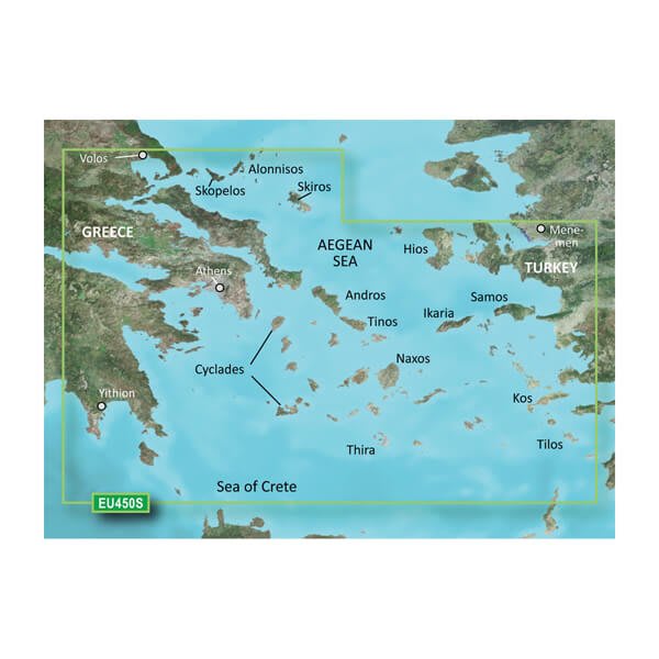
VEU450S - Athens and Cyclades
$299.00 Add to cartOverview
Premier Coastal Charts
- Industry-leading coverage, clarity and detail with updated coastal charts that feature integrated Garmin and Navionics® content
- Auto Guidance¹ technology quickly calculates a suggested route by using your desired depth and overhead clearance
- Includes Depth Range Shading for up to 10 depth ranges, enabling you to view your target depth at a glance
- Up to 1’ contours provide a more accurate depiction of the bottom structure for improved fishing charts
- To give a clear picture of shallow waters to avoid, the Shallow Water Shading allows for shading at a user-defined depth
Experience unparalleled coverage and brilliant detail when you’re on the water. BlueChart g3 Vision coastal charts provide industry-leading coverage, clarity and detail with integrated Garmin and Navionics content.
Auto Guidance
Whether you are fishing or cruising, select a spot, and get a route showing you the general path and nearby obstructions at a safe depth1.
Depth Range Shading
This feature displays high-resolution Depth Range Shading for up to 10 depth ranges so you can view your designated target depth.
Shallow Water Shading
To give a clear picture of shallow waters to avoid, this feature allows for shading at a user-defined depth.
Detailed Contours
BlueChart g3 Vision charts feature 1’ contours that provide a more accurate depiction of bottom structure for improved fishing charts and enhanced detail in swamps, canals and port plans.
High-resolution Satellite Imagery
High-resolution satellite imagery with navigational charts overlaid gives you a realistic view of your surroundings. It’s our most realistic charting display in a chartplotter — ideal for entering unfamiliar harbors or ports.
FishEye View
This underwater perspective shows 3-D representation of bottom and contours as seen from below the waterline. Interface with sonar data for a customized view.
MarinerEye View
This view provides a 3-D representation of the surrounding area both above and below the waterline.
Aerial Photography
Crystal-clear aerial photography shows exceptional detail of many ports, harbors and marinas and is ideal when entering unfamiliar ports.
¹Auto Guidance is for planning purposes only and does not replace safe navigation practices
-
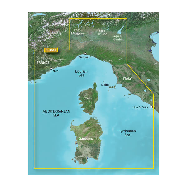
VEU451S-Ligurian Sea, Corsica and Sardinia
$340.00 Add to cartOverview
Premier charts
- Provides exceptional coverage, clarity and detail with coastal charts that feature integrated Garmin and Navionics® data
- Auto Guidance1 technology quickly calculates a suggested route by using your desired depth and overhead clearance and provides a suggested path to follow
- Certain areas offer Relief Shading (downloadable via the ActiveCaptain App), which combines colour and shadow to give you an easy-to-interpret, clearer view of bottom structure
- Includes Depth Range Shading for up to 10 depth ranges, enabling you to view your target depth at a glance
- Up to 30 cm (1 ft) contours provide a more accurate depiction of the bottom structure for improved fishing charts
- To give a clear picture of shallow waters to avoid, the Shallow Water Shading feature allows for shading at a user-defined depth
Experience unparalleled coverage and brilliant detail when you're on the water. BlueChart® g3 Vision charts provide industry-leading coverage, clarity and detail with integrated Garmin and Navionics content.
Auto Guidance
Whether you are fishing or cruising, select a spot, and get a route showing you the general path and nearby obstructions at a safe depth1.
Relief shading
Available for the U.K., Ireland, Belgium, France, Germany, the Netherlands and Norway, this exceptional shading feature combines colour and shadow to give you an easy-to-interpret view of bottom profile, making it easy to find artificial reefs, underwater shelves and more. Relief Shading is available via download from the ActiveCaptain® app.
Depth Range Shading
This feature displays high-resolution Depth Range Shading for up to 10 depth ranges so you can view your designated target depth.
Shallow Water Shading
To give a clear picture of shallow waters to avoid, this feature allows for shading at a user-defined depth.
Detailed contours
BlueChart g3 charts feature 30 cm (1 ft) contours that provide a more accurate depiction of bottom structure for improved fishing charts and enhanced detail in swamps, canals and port plans.
High-resolution satellite imagery
High-resolution satellite imagery with navigational charts overlaid gives you a realistic view of your surroundings. It's our most realistic charting display in a chartplotter — ideal for entering unfamiliar harbours or ports.
FishEye view
This underwater perspective shows 3D representation of bottom and contours as seen from below the waterline. Interface with sonar data for a customised view.
MarinerEye view
This view provides a 3D representation of the surrounding area both above and below the waterline.
Aerial photography
Crystal-clear aerial photography shows exceptional detail of many ports, harbours and marinas and is ideal when entering unfamiliar ports.
1Auto Guidance is for planning purposes only and does not replace safe navigation practices.
-
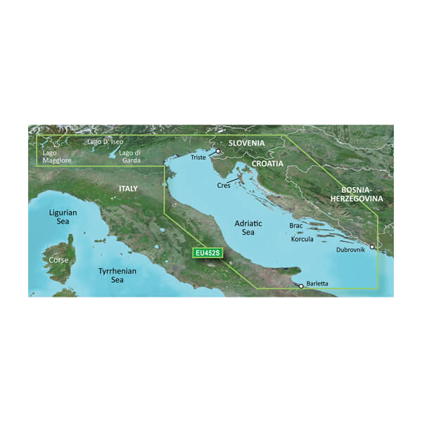
VEU452S-Adriatic Sea, North Coast
$340.00 Add to cartOverview
Premier Coastal Charts
- Industry-leading coverage, clarity and detail with updated coastal charts that feature integrated Garmin and Navionics® content
- Auto Guidance¹ technology quickly calculates a suggested route by using your desired depth and overhead clearance
- Includes Depth Range Shading for up to 10 depth ranges, enabling you to view your target depth at a glance
- Up to 1’ contours provide a more accurate depiction of the bottom structure for improved fishing charts
- To give a clear picture of shallow waters to avoid, the Shallow Water Shading allows for shading at a user-defined depth
Experience unparalleled coverage and brilliant detail when you’re on the water. BlueChart g3 Vision coastal charts provide industry-leading coverage, clarity and detail with integrated Garmin and Navionics content.
Auto Guidance
Whether you are fishing or cruising, select a spot, and get a route showing you the general path and nearby obstructions at a safe depth1.
High Resolution Relief Shading
This exceptional shading feature combines color and shadow to give you an easy-to-interpret view of bottom profile, making it easy to find artificial reefs, underwater shelves and more. High-resolution relief shading is available as a free downloadable feature via the ActiveCaptain® app.
Depth Range Shading
This feature displays high-resolution Depth Range Shading for up to 10 depth ranges so you can view your designated target depth.
Shallow Water Shading
To give a clear picture of shallow waters to avoid, this feature allows for shading at a user-defined depth.
Detailed Contours
BlueChart g3 Vision charts feature 1’ contours that provide a more accurate depiction of bottom structure for improved fishing charts and enhanced detail in swamps, canals and port plans.
High-resolution Satellite Imagery
High-resolution satellite imagery with navigational charts overlaid gives you a realistic view of your surroundings. It’s our most realistic charting display in a chartplotter — ideal for entering unfamiliar harbors or ports.
FishEye View
This underwater perspective shows 3-D representation of bottom and contours as seen from below the waterline. Interface with sonar data for a customized view.
MarinerEye View
This view provides a 3-D representation of the surrounding area both above and below the waterline.
Aerial Photography
Crystal-clear aerial photography shows exceptional detail of many ports, harbors and marinas and is ideal when entering unfamiliar ports.
¹Auto Guidance is for planning purposes only and does not replace safe navigation practices
-
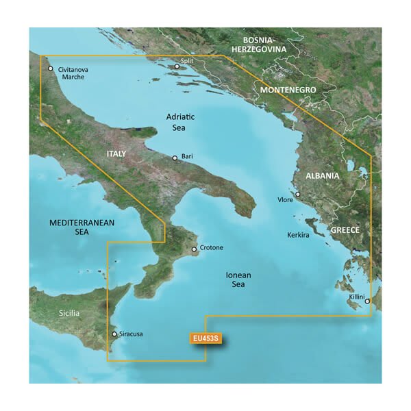
VEU453S-Adriatic Sea, South Coast
$340.00 Add to cartOverview
Premier Coastal Charts
- Industry-leading coverage, clarity and detail with updated coastal charts that feature integrated Garmin and Navionics® content
- Auto Guidance¹ technology quickly calculates a suggested route by using your desired depth and overhead clearance
- Includes Depth Range Shading for up to 10 depth ranges, enabling you to view your target depth at a glance
- Up to 1’ contours provide a more accurate depiction of the bottom structure for improved fishing charts
- To give a clear picture of shallow waters to avoid, the Shallow Water Shading allows for shading at a user-defined depth
Experience unparalleled coverage and brilliant detail when you’re on the water. BlueChart g3 Vision coastal charts provide industry-leading coverage, clarity and detail with integrated Garmin and Navionics content.
Auto Guidance
Whether you are fishing or cruising, select a spot, and get a route showing you the general path and nearby obstructions at a safe depth1.
High Resolution Relief Shading
This exceptional shading feature combines color and shadow to give you an easy-to-interpret view of bottom profile, making it easy to find artificial reefs, underwater shelves and more. High-resolution relief shading is available as a free downloadable feature via the ActiveCaptain® app.
Depth Range Shading
This feature displays high-resolution Depth Range Shading for up to 10 depth ranges so you can view your designated target depth.
Shallow Water Shading
To give a clear picture of shallow waters to avoid, this feature allows for shading at a user-defined depth.
Detailed Contours
BlueChart g3 Vision charts feature 1’ contours that provide a more accurate depiction of bottom structure for improved fishing charts and enhanced detail in swamps, canals and port plans.
High-resolution Satellite Imagery
High-resolution satellite imagery with navigational charts overlaid gives you a realistic view of your surroundings. It’s our most realistic charting display in a chartplotter — ideal for entering unfamiliar harbors or ports.
FishEye View
This underwater perspective shows 3-D representation of bottom and contours as seen from below the waterline. Interface with sonar data for a customized view.
MarinerEye View
This view provides a 3-D representation of the surrounding area both above and below the waterline.
Aerial Photography
Crystal-clear aerial photography shows exceptional detail of many ports, harbors and marinas and is ideal when entering unfamiliar ports.
¹Auto Guidance is for planning purposes only and does not replace safe navigation practices
-
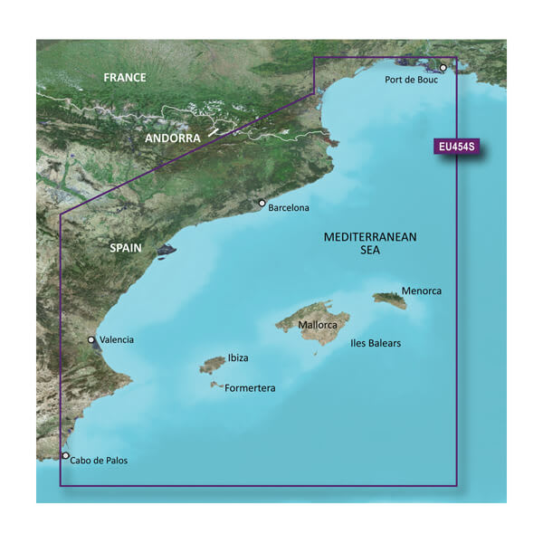
VEU454S-Barcelona and Valencia
$299.00 Add to cartOverview
Premier charts
- Provides exceptional coverage, clarity and detail with coastal charts that feature integrated Garmin and Navionics® data
- Auto Guidance1 technology quickly calculates a suggested route by using your desired depth and overhead clearance and provides a suggested path to follow
- Certain areas offer Relief Shading (downloadable via the ActiveCaptain App), which combines colour and shadow to give you an easy-to-interpret, clearer view of bottom structure
- Includes Depth Range Shading for up to 10 depth ranges, enabling you to view your target depth at a glance
- Up to 30 cm (1 ft) contours provide a more accurate depiction of the bottom structure for improved fishing charts
- To give a clear picture of shallow waters to avoid, the Shallow Water Shading feature allows for shading at a user-defined depth
Experience unparalleled coverage and brilliant detail when you're on the water. BlueChart® g3 Vision charts provide industry-leading coverage, clarity and detail with integrated Garmin and Navionics content.
Auto Guidance
Whether you are fishing or cruising, select a spot, and get a route showing you the general path and nearby obstructions at a safe depth1.
Relief shading
Available for the U.K., Ireland, Belgium, France, Germany, the Netherlands and Norway, this exceptional shading feature combines colour and shadow to give you an easy-to-interpret view of bottom profile, making it easy to find artificial reefs, underwater shelves and more. Relief Shading is available via download from the ActiveCaptain® app.
Depth Range Shading
This feature displays high-resolution Depth Range Shading for up to 10 depth ranges so you can view your designated target depth.
Shallow Water Shading
To give a clear picture of shallow waters to avoid, this feature allows for shading at a user-defined depth.
Detailed contours
BlueChart g3 charts feature 30 cm (1 ft) contours that provide a more accurate depiction of bottom structure for improved fishing charts and enhanced detail in swamps, canals and port plans.
High-resolution satellite imagery
High-resolution satellite imagery with navigational charts overlaid gives you a realistic view of your surroundings. It's our most realistic charting display in a chartplotter — ideal for entering unfamiliar harbours or ports.
FishEye view
This underwater perspective shows 3D representation of bottom and contours as seen from below the waterline. Interface with sonar data for a customised view.
MarinerEye view
This view provides a 3D representation of the surrounding area both above and below the waterline.
Aerial photography
Crystal-clear aerial photography shows exceptional detail of many ports, harbours and marinas and is ideal when entering unfamiliar ports.
1Auto Guidance is for planning purposes only and does not replace safe navigation practices.
-
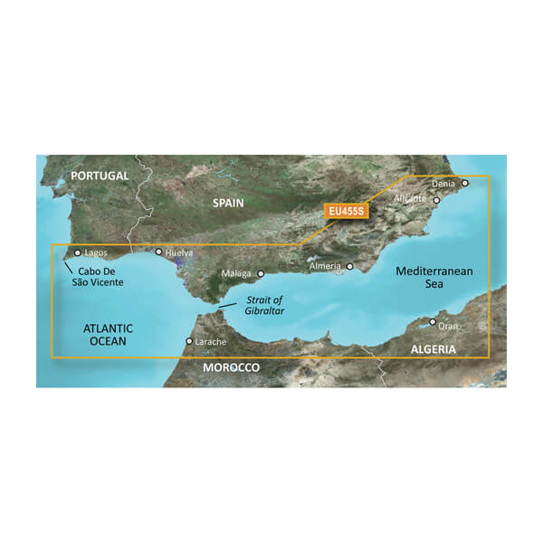
VEU455S-Alicante to Cabo de Sao Vicente
$299.00 Add to cartOverview
Premier Coastal Charts
- Industry-leading coverage, clarity and detail with updated coastal charts that feature integrated Garmin and Navionics® content
- Auto Guidance¹ technology quickly calculates a suggested route by using your desired depth and overhead clearance
- Includes Depth Range Shading for up to 10 depth ranges, enabling you to view your target depth at a glance
- Up to 1’ contours provide a more accurate depiction of the bottom structure for improved fishing charts
- To give a clear picture of shallow waters to avoid, the Shallow Water Shading allows for shading at a user-defined depth
Experience unparalleled coverage and brilliant detail when you’re on the water. BlueChart g3 Vision coastal charts provide industry-leading coverage, clarity and detail with integrated Garmin and Navionics content.
Auto Guidance
Whether you are fishing or cruising, select a spot, and get a route showing you the general path and nearby obstructions at a safe depth1.
Depth Range Shading
This feature displays high-resolution Depth Range Shading for up to 10 depth ranges so you can view your designated target depth.
Shallow Water Shading
To give a clear picture of shallow waters to avoid, this feature allows for shading at a user-defined depth.
Detailed Contours
BlueChart g3 Vision charts feature 1’ contours that provide a more accurate depiction of bottom structure for improved fishing charts and enhanced detail in swamps, canals and port plans.
High-resolution Satellite Imagery
High-resolution satellite imagery with navigational charts overlaid gives you a realistic view of your surroundings. It’s our most realistic charting display in a chartplotter — ideal for entering unfamiliar harbors or ports.
FishEye View
This underwater perspective shows 3-D representation of bottom and contours as seen from below the waterline. Interface with sonar data for a customized view.
MarinerEye View
This view provides a 3-D representation of the surrounding area both above and below the waterline.
Aerial Photography
Crystal-clear aerial photography shows exceptional detail of many ports, harbors and marinas and is ideal when entering unfamiliar ports.
¹Auto Guidance is for planning purposes only and does not replace safe navigation practices
-
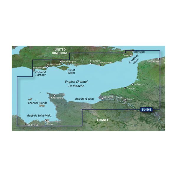
VEU456S-English Channel, Central-East
$299.00 Add to cartOverview
Premier charts
- Provides exceptional coverage, clarity and detail with coastal charts that feature integrated Garmin and Navionics® data
- Auto Guidance1 technology quickly calculates a suggested route by using your desired depth and overhead clearance and provides a suggested path to follow
- Certain areas offer Relief Shading (downloadable via the ActiveCaptain App), which combines colour and shadow to give you an easy-to-interpret, clearer view of bottom structure
- Includes Depth Range Shading for up to 10 depth ranges, enabling you to view your target depth at a glance
- Up to 30 cm (1 ft) contours provide a more accurate depiction of the bottom structure for improved fishing charts
- To give a clear picture of shallow waters to avoid, the Shallow Water Shading feature allows for shading at a user-defined depth
Experience unparalleled coverage and brilliant detail when you're on the water. BlueChart® g3 Vision charts provide industry-leading coverage, clarity and detail with integrated Garmin and Navionics content.
Auto Guidance
Whether you are fishing or cruising, select a spot, and get a route showing you the general path and nearby obstructions at a safe depth1.
Relief shading
Available for the U.K., Ireland, Belgium, France, Germany, the Netherlands and Norway, this exceptional shading feature combines colour and shadow to give you an easy-to-interpret view of bottom profile, making it easy to find artificial reefs, underwater shelves and more. Relief Shading is available via download from the ActiveCaptain® app.
Depth Range Shading
This feature displays high-resolution Depth Range Shading for up to 10 depth ranges so you can view your designated target depth.
Shallow Water Shading
To give a clear picture of shallow waters to avoid, this feature allows for shading at a user-defined depth.
Detailed contours
BlueChart g3 charts feature 30 cm (1 ft) contours that provide a more accurate depiction of bottom structure for improved fishing charts and enhanced detail in swamps, canals and port plans.
High-resolution satellite imagery
High-resolution satellite imagery with navigational charts overlaid gives you a realistic view of your surroundings. It's our most realistic charting display in a chartplotter — ideal for entering unfamiliar harbours or ports.
FishEye view
This underwater perspective shows 3D representation of bottom and contours as seen from below the waterline. Interface with sonar data for a customised view.
MarinerEye view
This view provides a 3D representation of the surrounding area both above and below the waterline.
Aerial photography
Crystal-clear aerial photography shows exceptional detail of many ports, harbours and marinas and is ideal when entering unfamiliar ports.
1Auto Guidance is for planning purposes only and does not replace safe navigation practices.
-
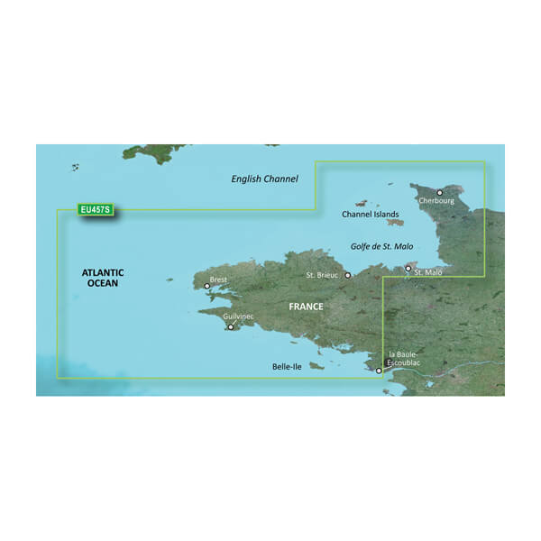
VEU457S-Bretagne
$299.00 Add to cartOverview
Premier charts
- Provides exceptional coverage, clarity and detail with coastal charts that feature integrated Garmin and Navionics® data
- Auto Guidance1 technology quickly calculates a suggested route by using your desired depth and overhead clearance and provides a suggested path to follow
- Certain areas offer Relief Shading (downloadable via the ActiveCaptain App), which combines colour and shadow to give you an easy-to-interpret, clearer view of bottom structure
- Includes Depth Range Shading for up to 10 depth ranges, enabling you to view your target depth at a glance
- Up to 30 cm (1 ft) contours provide a more accurate depiction of the bottom structure for improved fishing charts
- To give a clear picture of shallow waters to avoid, the Shallow Water Shading feature allows for shading at a user-defined depth
Experience unparalleled coverage and brilliant detail when you're on the water. BlueChart® g3 Vision charts provide industry-leading coverage, clarity and detail with integrated Garmin and Navionics content.
Auto Guidance
Whether you are fishing or cruising, select a spot, and get a route showing you the general path and nearby obstructions at a safe depth1.
Relief shading
Available for the U.K., Ireland, Belgium, France, Germany, the Netherlands and Norway, this exceptional shading feature combines colour and shadow to give you an easy-to-interpret view of bottom profile, making it easy to find artificial reefs, underwater shelves and more. Relief Shading is available via download from the ActiveCaptain® app.
Depth Range Shading
This feature displays high-resolution Depth Range Shading for up to 10 depth ranges so you can view your designated target depth.
Shallow Water Shading
To give a clear picture of shallow waters to avoid, this feature allows for shading at a user-defined depth.
Detailed contours
BlueChart g3 charts feature 30 cm (1 ft) contours that provide a more accurate depiction of bottom structure for improved fishing charts and enhanced detail in swamps, canals and port plans.
High-resolution satellite imagery
High-resolution satellite imagery with navigational charts overlaid gives you a realistic view of your surroundings. It's our most realistic charting display in a chartplotter — ideal for entering unfamiliar harbours or ports.
FishEye view
This underwater perspective shows 3D representation of bottom and contours as seen from below the waterline. Interface with sonar data for a customised view.
MarinerEye view
This view provides a 3D representation of the surrounding area both above and below the waterline.
Aerial photography
Crystal-clear aerial photography shows exceptional detail of many ports, harbours and marinas and is ideal when entering unfamiliar ports.
1Auto Guidance is for planning purposes only and does not replace safe navigation practices.
-
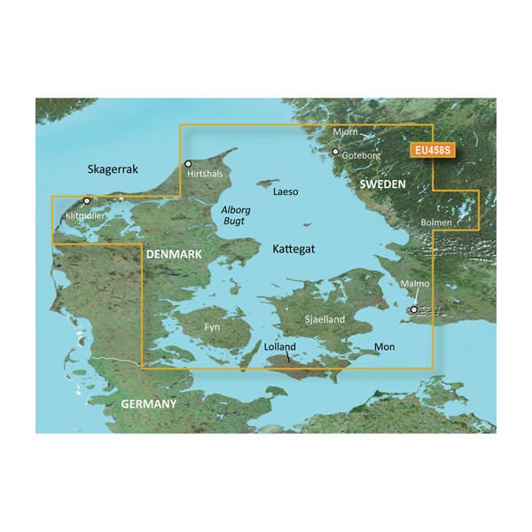
VEU458S-Göteborg-Fyn
$299.00 Add to cartOverview
Premium Coastal Charts
- Provides exceptional coverage, clarity and detail with coastal charts that feature integrated Garmin and Navionics® data
- Auto Guidance¹ technology quickly calculates a route using your desired depth and overhead clearance and provides a suggested path to follow
- Includes depth range shading for up to 10 depth ranges, enabling you to view your target depth at a glance
- Up to 1’ contours provide a more accurate depiction of the bottom structure for improved fishing charts
- To give a clear picture of shallow waters to avoid, the Shallow Water Shading feature allows for shading at a user-defined depth
Experience unparalleled coverage and brilliant detail when you’re on the water with charts that feature integrated Navionics® data, Auto Guidance technology1 and more.
Auto Guidance Technology
Whether you are fishing or cruising, select a spot, and get a route showing you the general path and nearby obstructions at a safe depth1.
High Resolution Relief Shading
This exceptional shading feature combines color and shadow to give you an easy-to-interpret view of bottom profile, making it easy to find artificial reefs, underwater shelves and more. High-resolution relief shading is available as a free downloadable feature via the ActiveCaptain® app.
Depth Range Shading
This feature displays high-resolution depth range shading for up to 10 depth ranges so you can view your designated target depth.
Detailed Contours
BlueChart g3 Vision charts feature 1’ contours that provide a more accurate depiction of bottom structure for improved fishing charts and enhanced detail in swamps, canals and port plans.
Shallow Water Shading
To aid in navigation, Shallow Water Shading allows map shading at a user-defined depth to give a clear picture of shallow waters.
High-resolution Satellite Imagery
High-resolution satellite imagery with navigational charts overlaid gives you a realistic view of your surroundings. It’s our most realistic charting display in a chartplotter — ideal for entering unfamiliar harbors or ports.
FishEye View
This underwater perspective shows 3-D representation of bottom and contours as seen from below the waterline. Interface with sonar data for a customized view.
MarinerEye View
This view provides a 3-D representation of the surrounding area both above and below the waterline.
Aerial Photography
Crystal-clear aerial photography shows exceptional detail of many ports, harbors and marinas and is ideal when entering unfamiliar ports.
¹Auto Guidance is for planning purposes only and does not replace safe navigation practices
-
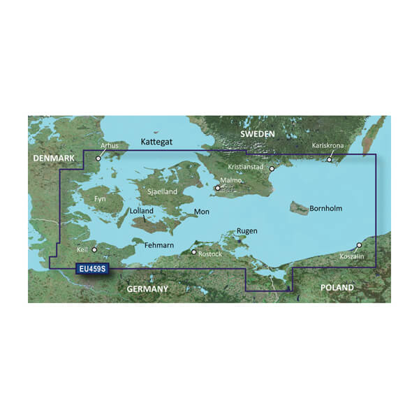
VEU459S-Arhus-Kiel-Koszalin
$299.00 Add to cartOverview
Premier charts
- Provides exceptional coverage, clarity and detail with coastal charts that feature integrated Garmin and Navionics® data
- Auto Guidance1 technology quickly calculates a suggested route by using your desired depth and overhead clearance and provides a suggested path to follow
- Certain areas offer Relief Shading (downloadable via the ActiveCaptain App), which combines colour and shadow to give you an easy-to-interpret, clearer view of bottom structure
- Includes Depth Range Shading for up to 10 depth ranges, enabling you to view your target depth at a glance
- Up to 30 cm (1 ft) contours provide a more accurate depiction of the bottom structure for improved fishing charts
- To give a clear picture of shallow waters to avoid, the Shallow Water Shading feature allows for shading at a user-defined depth
Experience unparalleled coverage and brilliant detail when you're on the water. BlueChart® g3 Vision charts provide industry-leading coverage, clarity and detail with integrated Garmin and Navionics content.
Auto Guidance
Whether you are fishing or cruising, select a spot, and get a route showing you the general path and nearby obstructions at a safe depth1.
Relief shading
Available for the U.K., Ireland, Belgium, France, Germany, the Netherlands and Norway, this exceptional shading feature combines colour and shadow to give you an easy-to-interpret view of bottom profile, making it easy to find artificial reefs, underwater shelves and more. Relief Shading is available via download from the ActiveCaptain® app.
Depth Range Shading
This feature displays high-resolution Depth Range Shading for up to 10 depth ranges so you can view your designated target depth.
Shallow Water Shading
To give a clear picture of shallow waters to avoid, this feature allows for shading at a user-defined depth.
Detailed contours
BlueChart g3 charts feature 30 cm (1 ft) contours that provide a more accurate depiction of bottom structure for improved fishing charts and enhanced detail in swamps, canals and port plans.
High-resolution satellite imagery
High-resolution satellite imagery with navigational charts overlaid gives you a realistic view of your surroundings. It's our most realistic charting display in a chartplotter — ideal for entering unfamiliar harbours or ports.
FishEye view
This underwater perspective shows 3D representation of bottom and contours as seen from below the waterline. Interface with sonar data for a customised view.
MarinerEye view
This view provides a 3D representation of the surrounding area both above and below the waterline.
Aerial photography
Crystal-clear aerial photography shows exceptional detail of many ports, harbours and marinas and is ideal when entering unfamiliar ports.
1Auto Guidance is for planning purposes only and does not replace safe navigation practices.
-

VEU460S-Sicily to Lido di Ostia
$340.00 Add to cartOverview
Premium Coastal Charts
- Provides exceptional coverage, clarity and detail with coastal charts that feature integrated Garmin and Navionics® data
- Auto Guidance¹ technology quickly calculates a route using your desired depth and overhead clearance and provides a suggested path to follow
- Includes depth range shading for up to 10 depth ranges, enabling you to view your target depth at a glance
- Up to 1’ contours provide a more accurate depiction of the bottom structure for improved fishing charts
- To give a clear picture of shallow waters to avoid, the Shallow Water Shading feature allows for shading at a user-defined depth
Experience unparalleled coverage and brilliant detail when you’re on the water with charts that feature integrated Navionics® data, Auto Guidance technology1 and more.
Auto Guidance Technology
Whether you are fishing or cruising, select a spot, and get a route showing you the general path and nearby obstructions at a safe depth1.
High Resolution Relief Shading
This exceptional shading feature combines color and shadow to give you an easy-to-interpret view of bottom profile, making it easy to find artificial reefs, underwater shelves and more. High-resolution relief shading is available as a free downloadable feature via the ActiveCaptain® app.
Depth Range Shading
This feature displays high-resolution depth range shading for up to 10 depth ranges so you can view your designated target depth.
Detailed Contours
BlueChart g3 Vision charts feature 1’ contours that provide a more accurate depiction of bottom structure for improved fishing charts and enhanced detail in swamps, canals and port plans.
Shallow Water Shading
To aid in navigation, Shallow Water Shading allows map shading at a user-defined depth to give a clear picture of shallow waters.
High-resolution Satellite Imagery
High-resolution satellite imagery with navigational charts overlaid gives you a realistic view of your surroundings. It’s our most realistic charting display in a chartplotter — ideal for entering unfamiliar harbors or ports.
FishEye View
This underwater perspective shows 3-D representation of bottom and contours as seen from below the waterline. Interface with sonar data for a customized view.
MarinerEye View
This view provides a 3-D representation of the surrounding area both above and below the waterline.
Aerial Photography
Crystal-clear aerial photography shows exceptional detail of many ports, harbors and marinas and is ideal when entering unfamiliar ports.
¹Auto Guidance is for planning purposes only and does not replace safe navigation practices
-
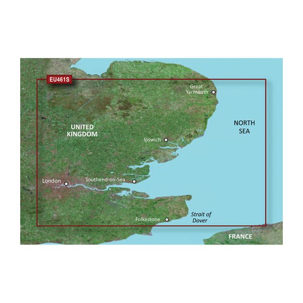
VEU461S-Thames Estuary
$299.00 Add to cartOverview
Premium Coastal Charts
- Provides exceptional coverage, clarity and detail with coastal charts that feature integrated Garmin and Navionics® data
- Auto Guidance¹ technology quickly calculates a route using your desired depth and overhead clearance and provides a suggested path to follow
- Includes depth range shading for up to 10 depth ranges, enabling you to view your target depth at a glance
- Up to 1’ contours provide a more accurate depiction of the bottom structure for improved fishing charts
- To give a clear picture of shallow waters to avoid, the Shallow Water Shading feature allows for shading at a user-defined depth
Experience unparalleled coverage and brilliant detail when you’re on the water with charts that feature integrated Navionics® data, Auto Guidance technology1 and more.
Auto Guidance Technology
Whether you are fishing or cruising, select a spot, and get a route showing you the general path and nearby obstructions at a safe depth1.
High-resolution Relief Shading
This exceptional shading feature combines color and shadow to give you an easy-to-interpret view of bottom profile, making it easy to find artificial reefs, underwater shelves and more. High-resolution relief shading is available as a free downloadable feature via the ActiveCaptain® app.
Depth Range Shading
This feature displays high-resolution depth range shading for up to 10 depth ranges so you can view your designated target depth.
Detailed Contours
BlueChart g3 Vision charts feature 1’ contours that provide a more accurate depiction of bottom structure for improved fishing charts and enhanced detail in swamps, canals and port plans.
Shallow Water Shading
To aid in navigation, Shallow Water Shading allows map shading at a user-defined depth to give a clear picture of shallow waters.
High-resolution Satellite Imagery
High-resolution satellite imagery with navigational charts overlaid gives you a realistic view of your surroundings. It’s our most realistic charting display in a chartplotter — ideal for entering unfamiliar harbors or ports.
FishEye View
This underwater perspective shows 3-D representation of bottom and contours as seen from below the waterline. Interface with sonar data for a customized view.
MarinerEye View
This view provides a 3-D representation of the surrounding area both above and below the waterline.
Aerial Photography
Crystal-clear aerial photography shows exceptional detail of many ports, harbors and marinas and is ideal when entering unfamiliar ports.
¹Auto Guidance is for planning purposes only and does not replace safe navigation practices
-
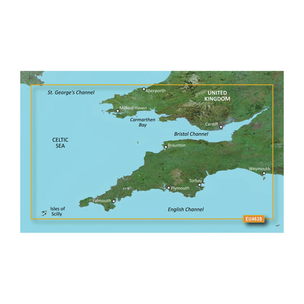
VEU463S-Bristol Channel and England S/W
$299.00 Add to cartOverview
Premier charts
- Provides exceptional coverage, clarity and detail with coastal charts that feature integrated Garmin and Navionics® data
- Auto Guidance1 technology quickly calculates a suggested route by using your desired depth and overhead clearance and provides a suggested path to follow
- Certain areas offer Relief Shading (downloadable via the ActiveCaptain App), which combines colour and shadow to give you an easy-to-interpret, clearer view of bottom structure
- Includes Depth Range Shading for up to 10 depth ranges, enabling you to view your target depth at a glance
- Up to 30 cm (1 ft) contours provide a more accurate depiction of the bottom structure for improved fishing charts
- To give a clear picture of shallow waters to avoid, the Shallow Water Shading feature allows for shading at a user-defined depth
Experience unparalleled coverage and brilliant detail when you're on the water. BlueChart® g3 Vision charts provide industry-leading coverage, clarity and detail with integrated Garmin and Navionics content.
Auto Guidance
Whether you are fishing or cruising, select a spot, and get a route showing you the general path and nearby obstructions at a safe depth1.
Relief shading
Available for the U.K., Ireland, Belgium, France, Germany, the Netherlands and Norway, this exceptional shading feature combines colour and shadow to give you an easy-to-interpret view of bottom profile, making it easy to find artificial reefs, underwater shelves and more. Relief Shading is available via download from the ActiveCaptain® app.
Depth Range Shading
This feature displays high-resolution Depth Range Shading for up to 10 depth ranges so you can view your designated target depth.
Shallow Water Shading
To give a clear picture of shallow waters to avoid, this feature allows for shading at a user-defined depth.
Detailed contours
BlueChart g3 charts feature 30 cm (1 ft) contours that provide a more accurate depiction of bottom structure for improved fishing charts and enhanced detail in swamps, canals and port plans.
High-resolution satellite imagery
High-resolution satellite imagery with navigational charts overlaid gives you a realistic view of your surroundings. It's our most realistic charting display in a chartplotter — ideal for entering unfamiliar harbours or ports.
FishEye view
This underwater perspective shows 3D representation of bottom and contours as seen from below the waterline. Interface with sonar data for a customised view.
MarinerEye view
This view provides a 3D representation of the surrounding area both above and below the waterline.
Aerial photography
Crystal-clear aerial photography shows exceptional detail of many ports, harbours and marinas and is ideal when entering unfamiliar ports.
1Auto Guidance is for planning purposes only and does not replace safe navigation practices.
-
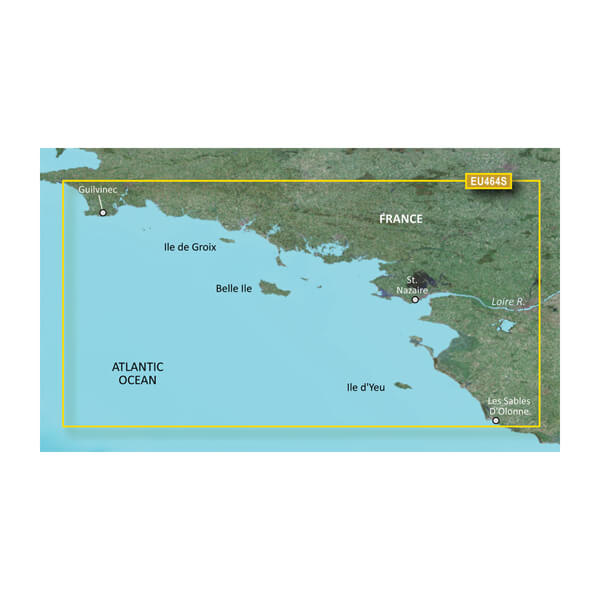
VEU464S-Penmarch to Les Sables d
$299.00 Add to cartOverview
Premier charts
- Provides exceptional coverage, clarity and detail with coastal charts that feature integrated Garmin and Navionics® data
- Auto Guidance1 technology quickly calculates a suggested route by using your desired depth and overhead clearance and provides a suggested path to follow
- Certain areas offer Relief Shading (downloadable via the ActiveCaptain App), which combines colour and shadow to give you an easy-to-interpret, clearer view of bottom structure
- Includes Depth Range Shading for up to 10 depth ranges, enabling you to view your target depth at a glance
- Up to 30 cm (1 ft) contours provide a more accurate depiction of the bottom structure for improved fishing charts
- To give a clear picture of shallow waters to avoid, the Shallow Water Shading feature allows for shading at a user-defined depth
Experience unparalleled coverage and brilliant detail when you're on the water. BlueChart® g3 Vision charts provide industry-leading coverage, clarity and detail with integrated Garmin and Navionics content.
Auto Guidance
Whether you are fishing or cruising, select a spot, and get a route showing you the general path and nearby obstructions at a safe depth1.
Relief shading
Available for the U.K., Ireland, Belgium, France, Germany, the Netherlands and Norway, this exceptional shading feature combines colour and shadow to give you an easy-to-interpret view of bottom profile, making it easy to find artificial reefs, underwater shelves and more. Relief Shading is available via download from the ActiveCaptain® app.
Depth Range Shading
This feature displays high-resolution Depth Range Shading for up to 10 depth ranges so you can view your designated target depth.
Shallow Water Shading
To give a clear picture of shallow waters to avoid, this feature allows for shading at a user-defined depth.
Detailed contours
BlueChart g3 charts feature 30 cm (1 ft) contours that provide a more accurate depiction of bottom structure for improved fishing charts and enhanced detail in swamps, canals and port plans.
High-resolution satellite imagery
High-resolution satellite imagery with navigational charts overlaid gives you a realistic view of your surroundings. It's our most realistic charting display in a chartplotter — ideal for entering unfamiliar harbours or ports.
FishEye view
This underwater perspective shows 3D representation of bottom and contours as seen from below the waterline. Interface with sonar data for a customised view.
MarinerEye view
This view provides a 3D representation of the surrounding area both above and below the waterline.
Aerial photography
Crystal-clear aerial photography shows exceptional detail of many ports, harbours and marinas and is ideal when entering unfamiliar ports.
1Auto Guidance is for planning purposes only and does not replace safe navigation practices.
-
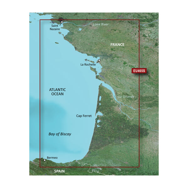
VEU465S-La Baule to San Sebastian
$299.00 Add to cartOverview
Premier charts
- Provides exceptional coverage, clarity and detail with coastal charts that feature integrated Garmin and Navionics® data
- Auto Guidance1 technology quickly calculates a suggested route by using your desired depth and overhead clearance and provides a suggested path to follow
- Certain areas offer Relief Shading (downloadable via the ActiveCaptain App), which combines colour and shadow to give you an easy-to-interpret, clearer view of bottom structure
- Includes Depth Range Shading for up to 10 depth ranges, enabling you to view your target depth at a glance
- Up to 30 cm (1 ft) contours provide a more accurate depiction of the bottom structure for improved fishing charts
- To give a clear picture of shallow waters to avoid, the Shallow Water Shading feature allows for shading at a user-defined depth
Experience unparalleled coverage and brilliant detail when you're on the water. BlueChart® g3 Vision charts provide industry-leading coverage, clarity and detail with integrated Garmin and Navionics content.
Auto Guidance
Whether you are fishing or cruising, select a spot, and get a route showing you the general path and nearby obstructions at a safe depth1.
Relief shading
Available for the U.K., Ireland, Belgium, France, Germany, the Netherlands and Norway, this exceptional shading feature combines colour and shadow to give you an easy-to-interpret view of bottom profile, making it easy to find artificial reefs, underwater shelves and more. Relief Shading is available via download from the ActiveCaptain® app.
Depth Range Shading
This feature displays high-resolution Depth Range Shading for up to 10 depth ranges so you can view your designated target depth.
Shallow Water Shading
To give a clear picture of shallow waters to avoid, this feature allows for shading at a user-defined depth.
Detailed contours
BlueChart g3 charts feature 30 cm (1 ft) contours that provide a more accurate depiction of bottom structure for improved fishing charts and enhanced detail in swamps, canals and port plans.
High-resolution satellite imagery
High-resolution satellite imagery with navigational charts overlaid gives you a realistic view of your surroundings. It's our most realistic charting display in a chartplotter — ideal for entering unfamiliar harbours or ports.
FishEye view
This underwater perspective shows 3D representation of bottom and contours as seen from below the waterline. Interface with sonar data for a customised view.
MarinerEye view
This view provides a 3D representation of the surrounding area both above and below the waterline.
Aerial photography
Crystal-clear aerial photography shows exceptional detail of many ports, harbours and marinas and is ideal when entering unfamiliar ports.
1Auto Guidance is for planning purposes only and does not replace safe navigation practices.
-
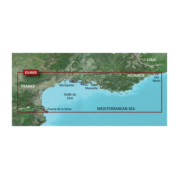
VEU466S-Golfe Du Lion to San Remo
$340.00 Add to cartOverview
Premier charts
- Provides exceptional coverage, clarity and detail with coastal charts that feature integrated Garmin and Navionics® data
- Auto Guidance1 technology quickly calculates a suggested route by using your desired depth and overhead clearance and provides a suggested path to follow
- Certain areas offer Relief Shading (downloadable via the ActiveCaptain App), which combines colour and shadow to give you an easy-to-interpret, clearer view of bottom structure
- Includes Depth Range Shading for up to 10 depth ranges, enabling you to view your target depth at a glance
- Up to 30 cm (1 ft) contours provide a more accurate depiction of the bottom structure for improved fishing charts
- To give a clear picture of shallow waters to avoid, the Shallow Water Shading feature allows for shading at a user-defined depth
Experience unparalleled coverage and brilliant detail when you're on the water. BlueChart® g3 Vision charts provide industry-leading coverage, clarity and detail with integrated Garmin and Navionics content.
Auto Guidance
Whether you are fishing or cruising, select a spot, and get a route showing you the general path and nearby obstructions at a safe depth1.
Relief shading
Available for the U.K., Ireland, Belgium, France, Germany, the Netherlands and Norway, this exceptional shading feature combines colour and shadow to give you an easy-to-interpret view of bottom profile, making it easy to find artificial reefs, underwater shelves and more. Relief Shading is available via download from the ActiveCaptain® app.
Depth Range Shading
This feature displays high-resolution Depth Range Shading for up to 10 depth ranges so you can view your designated target depth.
Shallow Water Shading
To give a clear picture of shallow waters to avoid, this feature allows for shading at a user-defined depth.
Detailed contours
BlueChart g3 charts feature 30 cm (1 ft) contours that provide a more accurate depiction of bottom structure for improved fishing charts and enhanced detail in swamps, canals and port plans.
High-resolution satellite imagery
High-resolution satellite imagery with navigational charts overlaid gives you a realistic view of your surroundings. It's our most realistic charting display in a chartplotter — ideal for entering unfamiliar harbours or ports.
FishEye view
This underwater perspective shows 3D representation of bottom and contours as seen from below the waterline. Interface with sonar data for a customised view.
MarinerEye view
This view provides a 3D representation of the surrounding area both above and below the waterline.
Aerial photography
Crystal-clear aerial photography shows exceptional detail of many ports, harbours and marinas and is ideal when entering unfamiliar ports.
1Auto Guidance is for planning purposes only and does not replace safe navigation practices.
-
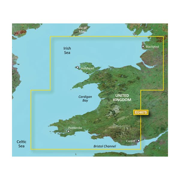
VEU467S-Blackpool to Cardiff
$299.00 Add to cartOverview
Premier charts
- Provides exceptional coverage, clarity and detail with coastal charts that feature integrated Garmin and Navionics® data
- Auto Guidance1 technology quickly calculates a suggested route by using your desired depth and overhead clearance and provides a suggested path to follow
- Certain areas offer Relief Shading (downloadable via the ActiveCaptain App), which combines colour and shadow to give you an easy-to-interpret, clearer view of bottom structure
- Includes Depth Range Shading for up to 10 depth ranges, enabling you to view your target depth at a glance
- Up to 30 cm (1 ft) contours provide a more accurate depiction of the bottom structure for improved fishing charts
- To give a clear picture of shallow waters to avoid, the Shallow Water Shading feature allows for shading at a user-defined depth
Experience unparalleled coverage and brilliant detail when you're on the water. BlueChart® g3 Vision charts provide industry-leading coverage, clarity and detail with integrated Garmin and Navionics content.
Auto Guidance
Whether you are fishing or cruising, select a spot, and get a route showing you the general path and nearby obstructions at a safe depth1.
Relief shading
Available for the U.K., Ireland, Belgium, France, Germany, the Netherlands and Norway, this exceptional shading feature combines colour and shadow to give you an easy-to-interpret view of bottom profile, making it easy to find artificial reefs, underwater shelves and more. Relief Shading is available via download from the ActiveCaptain® app.
Depth Range Shading
This feature displays high-resolution Depth Range Shading for up to 10 depth ranges so you can view your designated target depth.
Shallow Water Shading
To give a clear picture of shallow waters to avoid, this feature allows for shading at a user-defined depth.
Detailed contours
BlueChart g3 charts feature 30 cm (1 ft) contours that provide a more accurate depiction of bottom structure for improved fishing charts and enhanced detail in swamps, canals and port plans.
High-resolution satellite imagery
High-resolution satellite imagery with navigational charts overlaid gives you a realistic view of your surroundings. It's our most realistic charting display in a chartplotter — ideal for entering unfamiliar harbours or ports.
FishEye view
This underwater perspective shows 3D representation of bottom and contours as seen from below the waterline. Interface with sonar data for a customised view.
MarinerEye view
This view provides a 3D representation of the surrounding area both above and below the waterline.
Aerial photography
Crystal-clear aerial photography shows exceptional detail of many ports, harbours and marinas and is ideal when entering unfamiliar ports.
1Auto Guidance is for planning purposes only and does not replace safe navigation practices.
-
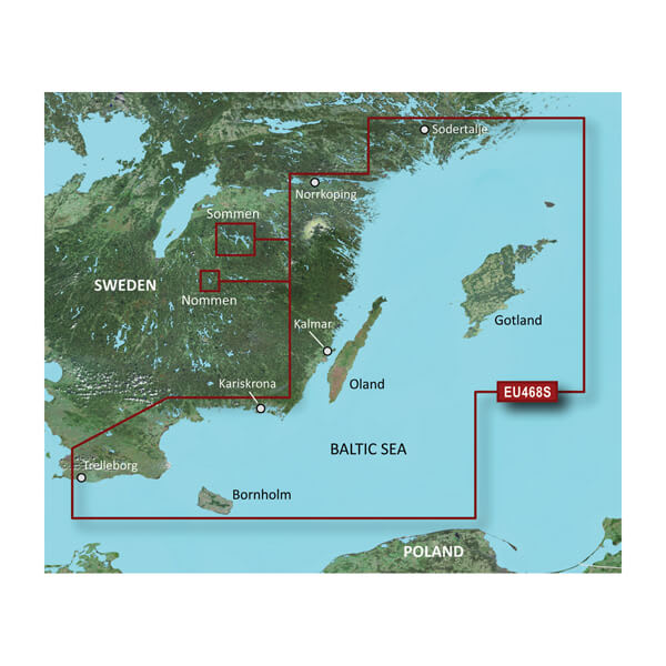
VEU468S - Södertälje-Trelleborg
$299.00 Add to cartOverview
Premium Coastal Charts
- Provides exceptional coverage, clarity and detail with coastal charts that feature integrated Garmin and Navionics® data
- Auto Guidance¹ technology quickly calculates a route using your desired depth and overhead clearance and provides a suggested path to follow
- Includes depth range shading for up to 10 depth ranges, enabling you to view your target depth at a glance
- Up to 1’ contours provide a more accurate depiction of the bottom structure for improved fishing charts
- To give a clear picture of shallow waters to avoid, the Shallow Water Shading feature allows for shading at a user-defined depth
Experience unparalleled coverage and brilliant detail when you’re on the water with charts that feature integrated Navionics® data, Auto Guidance technology1 and more.
Auto Guidance Technology
Whether you are fishing or cruising, select a spot, and get a route showing you the general path and nearby obstructions at a safe depth1.
High Resolution Relief Shading
This exceptional shading feature combines color and shadow to give you an easy-to-interpret view of bottom profile, making it easy to find artificial reefs, underwater shelves and more. High-resolution relief shading is available as a free downloadable feature via the ActiveCaptain® app.
Depth Range Shading
This feature displays high-resolution depth range shading for up to 10 depth ranges so you can view your designated target depth.
Detailed Contours
BlueChart g3 Vision charts feature 1’ contours that provide a more accurate depiction of bottom structure for improved fishing charts and enhanced detail in swamps, canals and port plans.
Shallow Water Shading
To aid in navigation, Shallow Water Shading allows map shading at a user-defined depth to give a clear picture of shallow waters.
High-resolution Satellite Imagery
High-resolution satellite imagery with navigational charts overlaid gives you a realistic view of your surroundings. It’s our most realistic charting display in a chartplotter — ideal for entering unfamiliar harbors or ports.
FishEye View
This underwater perspective shows 3-D representation of bottom and contours as seen from below the waterline. Interface with sonar data for a customized view.
MarinerEye View
This view provides a 3-D representation of the surrounding area both above and below the waterline.
Aerial Photography
Crystal-clear aerial photography shows exceptional detail of many ports, harbors and marinas and is ideal when entering unfamiliar ports.
¹Auto Guidance is for planning purposes only and does not replace safe navigation practices
-

VEU469S-Stockholm and Mälaren
$299.00 Add to cartOverview
Premium Coastal Charts
- Provides exceptional coverage, clarity and detail with coastal charts that feature integrated Garmin and Navionics® data
- Auto Guidance¹ technology quickly calculates a route using your desired depth and overhead clearance and provides a suggested path to follow
- Includes depth range shading for up to 10 depth ranges, enabling you to view your target depth at a glance
- Up to 1’ contours provide a more accurate depiction of the bottom structure for improved fishing charts
- To give a clear picture of shallow waters to avoid, the Shallow Water Shading feature allows for shading at a user-defined depth
Experience unparalleled coverage and brilliant detail when you’re on the water with charts that feature integrated Navionics® data, Auto Guidance technology1 and more.
Auto Guidance Technology
Whether you are fishing or cruising, select a spot, and get a route showing you the general path and nearby obstructions at a safe depth1.
Depth Range Shading
This feature displays high-resolution depth range shading for up to 10 depth ranges so you can view your designated target depth.
Detailed Contours
BlueChart g3 Vision charts feature 1’ contours that provide a more accurate depiction of bottom structure for improved fishing charts and enhanced detail in swamps, canals and port plans.
Shallow Water Shading
To aid in navigation, Shallow Water Shading allows map shading at a user-defined depth to give a clear picture of shallow waters.
High-resolution Satellite Imagery
High-resolution satellite imagery with navigational charts overlaid gives you a realistic view of your surroundings. It’s our most realistic charting display in a chartplotter — ideal for entering unfamiliar harbors or ports.
FishEye View
This underwater perspective shows 3-D representation of bottom and contours as seen from below the waterline. Interface with sonar data for a customized view.
MarinerEye View
This view provides a 3-D representation of the surrounding area both above and below the waterline.
Aerial Photography
Crystal-clear aerial photography shows exceptional detail of many ports, harbors and marinas and is ideal when entering unfamiliar ports.
¹Auto Guidance is for planning purposes only and does not replace safe navigation practices
-

VEU470S-Stromstad to Halmstad
$299.00 Add to cartOverview
Premium Coastal Charts
- Provides exceptional coverage, clarity and detail with coastal charts that feature integrated Garmin and Navionics® data
- Auto Guidance¹ technology quickly calculates a route using your desired depth and overhead clearance and provides a suggested path to follow
- Includes depth range shading for up to 10 depth ranges, enabling you to view your target depth at a glance
- Up to 1’ contours provide a more accurate depiction of the bottom structure for improved fishing charts
- To give a clear picture of shallow waters to avoid, the Shallow Water Shading feature allows for shading at a user-defined depth
Experience unparalleled coverage and brilliant detail when you’re on the water with charts that feature integrated Navionics® data, Auto Guidance technology1 and more.
Auto Guidance Technology
Whether you are fishing or cruising, select a spot, and get a route showing you the general path and nearby obstructions at a safe depth1.
High Resolution Relief Shading
This exceptional shading feature combines color and shadow to give you an easy-to-interpret view of bottom profile, making it easy to find artificial reefs, underwater shelves and more. High-resolution relief shading is available as a free downloadable feature via the ActiveCaptain® app.
Depth Range Shading
This feature displays high-resolution depth range shading for up to 10 depth ranges so you can view your designated target depth.
Detailed Contours
BlueChart g3 Vision charts feature 1’ contours that provide a more accurate depiction of bottom structure for improved fishing charts and enhanced detail in swamps, canals and port plans.
Shallow Water Shading
To aid in navigation, Shallow Water Shading allows map shading at a user-defined depth to give a clear picture of shallow waters.
High-resolution Satellite Imagery
High-resolution satellite imagery with navigational charts overlaid gives you a realistic view of your surroundings. It’s our most realistic charting display in a chartplotter — ideal for entering unfamiliar harbors or ports.
FishEye View
This underwater perspective shows 3-D representation of bottom and contours as seen from below the waterline. Interface with sonar data for a customized view.
MarinerEye View
This view provides a 3-D representation of the surrounding area both above and below the waterline.
Aerial Photography
Crystal-clear aerial photography shows exceptional detail of many ports, harbors and marinas and is ideal when entering unfamiliar ports.
¹Auto Guidance is for planning purposes only and does not replace safe navigation practices
-
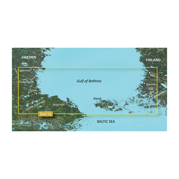
VEU471S - Gulf of Bothnia, South
$299.00 Add to cartOverview
Premium Coastal Charts
- Provides exceptional coverage, clarity and detail with coastal charts that feature integrated Garmin and Navionics® data
- Auto Guidance¹ technology quickly calculates a route using your desired depth and overhead clearance and provides a suggested path to follow
- Includes depth range shading for up to 10 depth ranges, enabling you to view your target depth at a glance
- Up to 1’ contours provide a more accurate depiction of the bottom structure for improved fishing charts
- To give a clear picture of shallow waters to avoid, the Shallow Water Shading feature allows for shading at a user-defined depth
Experience unparalleled coverage and brilliant detail when you’re on the water with charts that feature integrated Navionics® data, Auto Guidance technology1 and more.
Auto Guidance Technology
Whether you are fishing or cruising, select a spot, and get a route showing you the general path and nearby obstructions at a safe depth1.
Depth Range Shading
This feature displays high-resolution depth range shading for up to 10 depth ranges so you can view your designated target depth.
Detailed Contours
BlueChart g3 Vision charts feature 1’ contours that provide a more accurate depiction of bottom structure for improved fishing charts and enhanced detail in swamps, canals and port plans.
Shallow Water Shading
To aid in navigation, Shallow Water Shading allows map shading at a user-defined depth to give a clear picture of shallow waters.
High-resolution Satellite Imagery
High-resolution satellite imagery with navigational charts overlaid gives you a realistic view of your surroundings. It’s our most realistic charting display in a chartplotter — ideal for entering unfamiliar harbors or ports.
FishEye View
This underwater perspective shows 3-D representation of bottom and contours as seen from below the waterline. Interface with sonar data for a customized view.
MarinerEye View
This view provides a 3-D representation of the surrounding area both above and below the waterline.
Aerial Photography
Crystal-clear aerial photography shows exceptional detail of many ports, harbors and marinas and is ideal when entering unfamiliar ports.
¹Auto Guidance is for planning purposes only and does not replace safe navigation practices
-
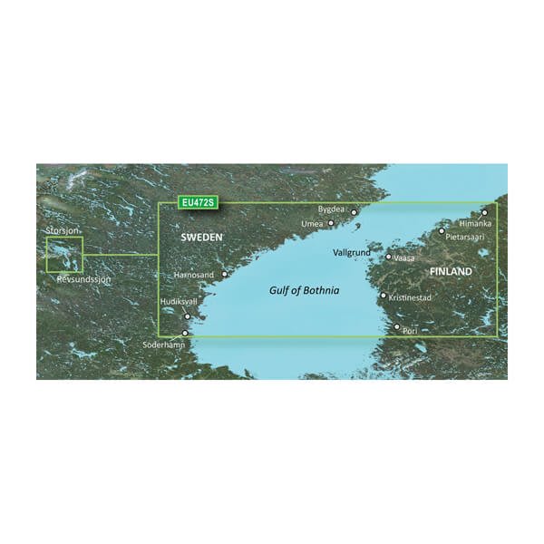
VEU472S - Gulf of Bothnia, Center
$299.00 Add to cartOverview
Premium Coastal Charts
- Provides exceptional coverage, clarity and detail with coastal charts that feature integrated Garmin and Navionics® data
- Auto Guidance¹ technology quickly calculates a route using your desired depth and overhead clearance and provides a suggested path to follow
- Includes depth range shading for up to 10 depth ranges, enabling you to view your target depth at a glance
- Up to 1’ contours provide a more accurate depiction of the bottom structure for improved fishing charts
- To give a clear picture of shallow waters to avoid, the Shallow Water Shading feature allows for shading at a user-defined depth
Experience unparalleled coverage and brilliant detail when you’re on the water with charts that feature integrated Navionics® data, Auto Guidance technology1 and more.
Auto Guidance Technology
Whether you are fishing or cruising, select a spot, and get a route showing you the general path and nearby obstructions at a safe depth1.
Depth Range Shading
This feature displays high-resolution depth range shading for up to 10 depth ranges so you can view your designated target depth.
Detailed Contours
BlueChart g3 Vision charts feature 1’ contours that provide a more accurate depiction of bottom structure for improved fishing charts and enhanced detail in swamps, canals and port plans.
Shallow Water Shading
To aid in navigation, Shallow Water Shading allows map shading at a user-defined depth to give a clear picture of shallow waters.
High-resolution Satellite Imagery
High-resolution satellite imagery with navigational charts overlaid gives you a realistic view of your surroundings. It’s our most realistic charting display in a chartplotter — ideal for entering unfamiliar harbors or ports.
FishEye View
This underwater perspective shows 3-D representation of bottom and contours as seen from below the waterline. Interface with sonar data for a customized view.
MarinerEye View
This view provides a 3-D representation of the surrounding area both above and below the waterline.
Aerial Photography
Crystal-clear aerial photography shows exceptional detail of many ports, harbors and marinas and is ideal when entering unfamiliar ports.
¹Auto Guidance is for planning purposes only and does not replace safe navigation practices
-
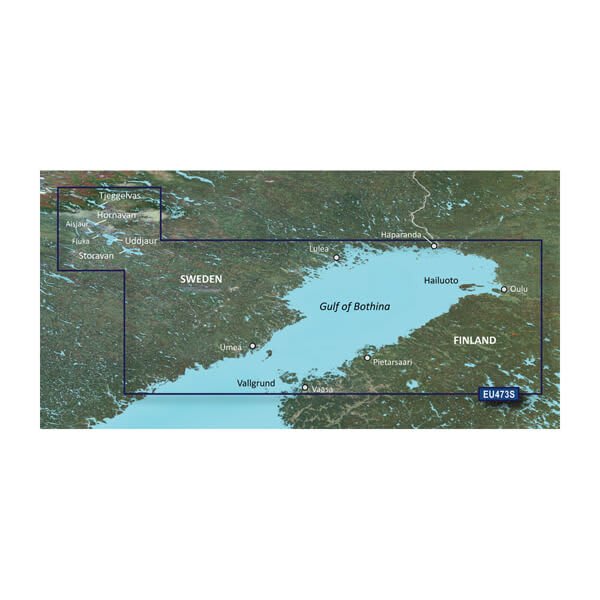
VEU473S - Gulf of Bothnia, North
$299.00 Add to cartOverview
Premium Coastal Charts
- Provides exceptional coverage, clarity and detail with coastal charts that feature integrated Garmin and Navionics® data
- Auto Guidance¹ technology quickly calculates a route using your desired depth and overhead clearance and provides a suggested path to follow
- Includes depth range shading for up to 10 depth ranges, enabling you to view your target depth at a glance
- Up to 1’ contours provide a more accurate depiction of the bottom structure for improved fishing charts
- To give a clear picture of shallow waters to avoid, the Shallow Water Shading feature allows for shading at a user-defined depth
Experience unparalleled coverage and brilliant detail when you’re on the water with charts that feature integrated Navionics® data, Auto Guidance technology1 and more.
Auto Guidance Technology
Whether you are fishing or cruising, select a spot, and get a route showing you the general path and nearby obstructions at a safe depth1.
Depth Range Shading
This feature displays high-resolution depth range shading for up to 10 depth ranges so you can view your designated target depth.
Detailed Contours
BlueChart g3 Vision charts feature 1’ contours that provide a more accurate depiction of bottom structure for improved fishing charts and enhanced detail in swamps, canals and port plans.
Shallow Water Shading
To aid in navigation, Shallow Water Shading allows map shading at a user-defined depth to give a clear picture of shallow waters.
High-resolution Satellite Imagery
High-resolution satellite imagery with navigational charts overlaid gives you a realistic view of your surroundings. It’s our most realistic charting display in a chartplotter — ideal for entering unfamiliar harbors or ports.
FishEye View
This underwater perspective shows 3-D representation of bottom and contours as seen from below the waterline. Interface with sonar data for a customized view.
MarinerEye View
This view provides a 3-D representation of the surrounding area both above and below the waterline.
Aerial Photography
Crystal-clear aerial photography shows exceptional detail of many ports, harbors and marinas and is ideal when entering unfamiliar ports.
¹Auto Guidance is for planning purposes only and does not replace safe navigation practices
-
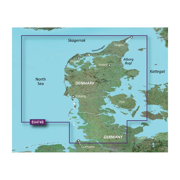
VEU474S-Northern Denmark and the Eider
$299.00 Add to cartOverview
Premium Coastal Charts
- Provides exceptional coverage, clarity and detail with coastal charts that feature integrated Garmin and Navionics® data
- Auto Guidance¹ technology quickly calculates a route using your desired depth and overhead clearance and provides a suggested path to follow
- Includes depth range shading for up to 10 depth ranges, enabling you to view your target depth at a glance
- Up to 1’ contours provide a more accurate depiction of the bottom structure for improved fishing charts
- To give a clear picture of shallow waters to avoid, the Shallow Water Shading feature allows for shading at a user-defined depth
Experience unparalleled coverage and brilliant detail when you’re on the water with charts that feature integrated Navionics® data, Auto Guidance technology1 and more.
Auto Guidance Technology
Whether you are fishing or cruising, select a spot, and get a route showing you the general path and nearby obstructions at a safe depth1.
High Resolution Relief Shading
This exceptional shading feature combines color and shadow to give you an easy-to-interpret view of bottom profile, making it easy to find artificial reefs, underwater shelves and more. High-resolution relief shading is available as a free downloadable feature via the ActiveCaptain® app.
Depth Range Shading
This feature displays high-resolution depth range shading for up to 10 depth ranges so you can view your designated target depth.
Detailed Contours
BlueChart g3 Vision charts feature 1’ contours that provide a more accurate depiction of bottom structure for improved fishing charts and enhanced detail in swamps, canals and port plans.
Shallow Water Shading
To aid in navigation, Shallow Water Shading allows map shading at a user-defined depth to give a clear picture of shallow waters.
High-resolution Satellite Imagery
High-resolution satellite imagery with navigational charts overlaid gives you a realistic view of your surroundings. It’s our most realistic charting display in a chartplotter — ideal for entering unfamiliar harbors or ports.
FishEye View
This underwater perspective shows 3-D representation of bottom and contours as seen from below the waterline. Interface with sonar data for a customized view.
MarinerEye View
This view provides a 3-D representation of the surrounding area both above and below the waterline.
Aerial Photography
Crystal-clear aerial photography shows exceptional detail of many ports, harbors and marinas and is ideal when entering unfamiliar ports.
¹Auto Guidance is for planning purposes only and does not replace safe navigation practices
-
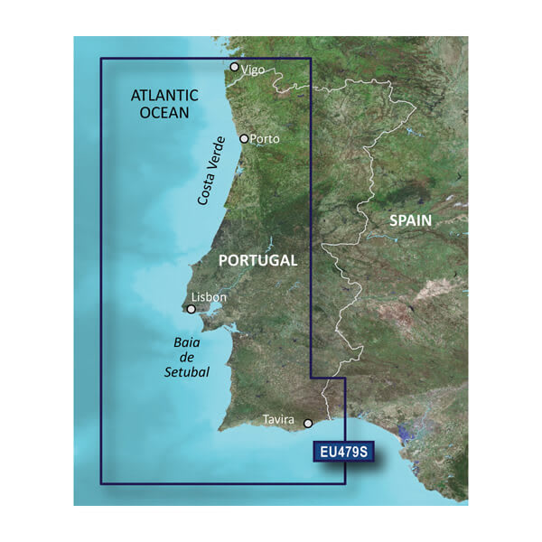
VEU479S-Portugal
$299.00 Add to cartOverview
Premium Coastal Charts
- Provides exceptional coverage, clarity and detail with coastal charts that feature integrated Garmin and Navionics® data
- Auto Guidance¹ technology quickly calculates a route using your desired depth and overhead clearance and provides a suggested path to follow
- Includes depth range shading for up to 10 depth ranges, enabling you to view your target depth at a glance
- Up to 1’ contours provide a more accurate depiction of the bottom structure for improved fishing charts
- To give a clear picture of shallow waters to avoid, the Shallow Water Shading feature allows for shading at a user-defined depth
Experience unparalleled coverage and brilliant detail when you’re on the water with charts that feature integrated Navionics® data, Auto Guidance technology1 and more.
Auto Guidance Technology
Whether you are fishing or cruising, select a spot, and get a route showing you the general path and nearby obstructions at a safe depth1.
Depth Range Shading
This feature displays high-resolution depth range shading for up to 10 depth ranges so you can view your designated target depth.
Detailed Contours
BlueChart g3 Vision charts feature 1’ contours that provide a more accurate depiction of bottom structure for improved fishing charts and enhanced detail in swamps, canals and port plans.
Shallow Water Shading
To aid in navigation, Shallow Water Shading allows map shading at a user-defined depth to give a clear picture of shallow waters.
High-resolution Satellite Imagery
High-resolution satellite imagery with navigational charts overlaid gives you a realistic view of your surroundings. It’s our most realistic charting display in a chartplotter — ideal for entering unfamiliar harbors or ports.
FishEye View
This underwater perspective shows 3-D representation of bottom and contours as seen from below the waterline. Interface with sonar data for a customized view.
MarinerEye View
This view provides a 3-D representation of the surrounding area both above and below the waterline.
Aerial Photography
Crystal-clear aerial photography shows exceptional detail of many ports, harbors and marinas and is ideal when entering unfamiliar ports.
¹Auto Guidance is for planning purposes only and does not replace safe navigation practices
-
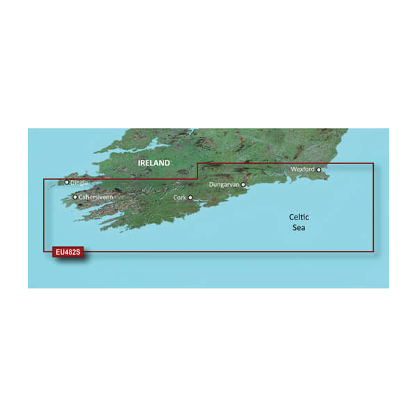
VEU482S-Wexford to Dingle Bay
$299.00 Add to cartOverview
Premier charts
- Provides exceptional coverage, clarity and detail with coastal charts that feature integrated Garmin and Navionics® data
- Auto Guidance1 technology quickly calculates a suggested route by using your desired depth and overhead clearance and provides a suggested path to follow
- Certain areas offer Relief Shading (downloadable via the ActiveCaptain App), which combines colour and shadow to give you an easy-to-interpret, clearer view of bottom structure
- Includes Depth Range Shading for up to 10 depth ranges, enabling you to view your target depth at a glance
- Up to 30 cm (1 ft) contours provide a more accurate depiction of the bottom structure for improved fishing charts
- To give a clear picture of shallow waters to avoid, the Shallow Water Shading feature allows for shading at a user-defined depth
Experience unparalleled coverage and brilliant detail when you're on the water. BlueChart® g3 Vision charts provide industry-leading coverage, clarity and detail with integrated Garmin and Navionics content.
Auto Guidance
Whether you are fishing or cruising, select a spot, and get a route showing you the general path and nearby obstructions at a safe depth1.
Relief shading
Available for the U.K., Ireland, Belgium, France, Germany, the Netherlands and Norway, this exceptional shading feature combines colour and shadow to give you an easy-to-interpret view of bottom profile, making it easy to find artificial reefs, underwater shelves and more. Relief Shading is available via download from the ActiveCaptain® app.
Depth Range Shading
This feature displays high-resolution Depth Range Shading for up to 10 depth ranges so you can view your designated target depth.
Shallow Water Shading
To give a clear picture of shallow waters to avoid, this feature allows for shading at a user-defined depth.
Detailed contours
BlueChart g3 charts feature 30 cm (1 ft) contours that provide a more accurate depiction of bottom structure for improved fishing charts and enhanced detail in swamps, canals and port plans.
High-resolution satellite imagery
High-resolution satellite imagery with navigational charts overlaid gives you a realistic view of your surroundings. It's our most realistic charting display in a chartplotter — ideal for entering unfamiliar harbours or ports.
FishEye view
This underwater perspective shows 3D representation of bottom and contours as seen from below the waterline. Interface with sonar data for a customised view.
MarinerEye view
This view provides a 3D representation of the surrounding area both above and below the waterline.
Aerial photography
Crystal-clear aerial photography shows exceptional detail of many ports, harbours and marinas and is ideal when entering unfamiliar ports.
1Auto Guidance is for planning purposes only and does not replace safe navigation practices.
-
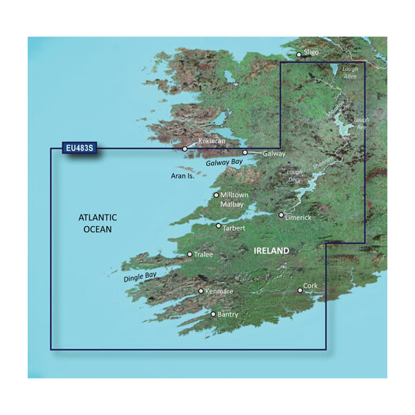
VEU483S-Galway Bay to Cork
$299.00 Add to cartOverview
Premier charts
- Provides exceptional coverage, clarity and detail with coastal charts that feature integrated Garmin and Navionics® data
- Auto Guidance1 technology quickly calculates a suggested route by using your desired depth and overhead clearance and provides a suggested path to follow
- Certain areas offer Relief Shading (downloadable via the ActiveCaptain App), which combines colour and shadow to give you an easy-to-interpret, clearer view of bottom structure
- Includes Depth Range Shading for up to 10 depth ranges, enabling you to view your target depth at a glance
- Up to 30 cm (1 ft) contours provide a more accurate depiction of the bottom structure for improved fishing charts
- To give a clear picture of shallow waters to avoid, the Shallow Water Shading feature allows for shading at a user-defined depth
Experience unparalleled coverage and brilliant detail when you're on the water. BlueChart® g3 Vision charts provide industry-leading coverage, clarity and detail with integrated Garmin and Navionics content.
Auto Guidance
Whether you are fishing or cruising, select a spot, and get a route showing you the general path and nearby obstructions at a safe depth1.
Relief shading
Available for the U.K., Ireland, Belgium, France, Germany, the Netherlands and Norway, this exceptional shading feature combines colour and shadow to give you an easy-to-interpret view of bottom profile, making it easy to find artificial reefs, underwater shelves and more. Relief Shading is available via download from the ActiveCaptain® app.
Depth Range Shading
This feature displays high-resolution Depth Range Shading for up to 10 depth ranges so you can view your designated target depth.
Shallow Water Shading
To give a clear picture of shallow waters to avoid, this feature allows for shading at a user-defined depth.
Detailed contours
BlueChart g3 charts feature 30 cm (1 ft) contours that provide a more accurate depiction of bottom structure for improved fishing charts and enhanced detail in swamps, canals and port plans.
High-resolution satellite imagery
High-resolution satellite imagery with navigational charts overlaid gives you a realistic view of your surroundings. It's our most realistic charting display in a chartplotter — ideal for entering unfamiliar harbours or ports.
FishEye view
This underwater perspective shows 3D representation of bottom and contours as seen from below the waterline. Interface with sonar data for a customised view.
MarinerEye view
This view provides a 3D representation of the surrounding area both above and below the waterline.
Aerial photography
Crystal-clear aerial photography shows exceptional detail of many ports, harbours and marinas and is ideal when entering unfamiliar ports.
1Auto Guidance is for planning purposes only and does not replace safe navigation practices.
-
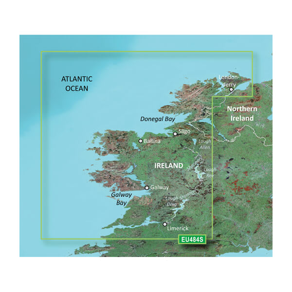
VEU484S-Ireland North-West
$299.00 Add to cartOverview
Premier charts
- Provides exceptional coverage, clarity and detail with coastal charts that feature integrated Garmin and Navionics® data
- Auto Guidance1 technology quickly calculates a suggested route by using your desired depth and overhead clearance and provides a suggested path to follow
- Certain areas offer Relief Shading (downloadable via the ActiveCaptain App), which combines colour and shadow to give you an easy-to-interpret, clearer view of bottom structure
- Includes Depth Range Shading for up to 10 depth ranges, enabling you to view your target depth at a glance
- Up to 30 cm (1 ft) contours provide a more accurate depiction of the bottom structure for improved fishing charts
- To give a clear picture of shallow waters to avoid, the Shallow Water Shading feature allows for shading at a user-defined depth
Experience unparalleled coverage and brilliant detail when you're on the water. BlueChart® g3 Vision charts provide industry-leading coverage, clarity and detail with integrated Garmin and Navionics content.
Auto Guidance
Whether you are fishing or cruising, select a spot, and get a route showing you the general path and nearby obstructions at a safe depth1.
Relief shading
Available for the U.K., Ireland, Belgium, France, Germany, the Netherlands and Norway, this exceptional shading feature combines colour and shadow to give you an easy-to-interpret view of bottom profile, making it easy to find artificial reefs, underwater shelves and more. Relief Shading is available via download from the ActiveCaptain® app.
Depth Range Shading
This feature displays high-resolution Depth Range Shading for up to 10 depth ranges so you can view your designated target depth.
Shallow Water Shading
To give a clear picture of shallow waters to avoid, this feature allows for shading at a user-defined depth.
Detailed contours
BlueChart g3 charts feature 30 cm (1 ft) contours that provide a more accurate depiction of bottom structure for improved fishing charts and enhanced detail in swamps, canals and port plans.
High-resolution satellite imagery
High-resolution satellite imagery with navigational charts overlaid gives you a realistic view of your surroundings. It's our most realistic charting display in a chartplotter — ideal for entering unfamiliar harbours or ports.
FishEye view
This underwater perspective shows 3D representation of bottom and contours as seen from below the waterline. Interface with sonar data for a customised view.
MarinerEye view
This view provides a 3D representation of the surrounding area both above and below the waterline.
Aerial photography
Crystal-clear aerial photography shows exceptional detail of many ports, harbours and marinas and is ideal when entering unfamiliar ports.
1Auto Guidance is for planning purposes only and does not replace safe navigation practices.
-
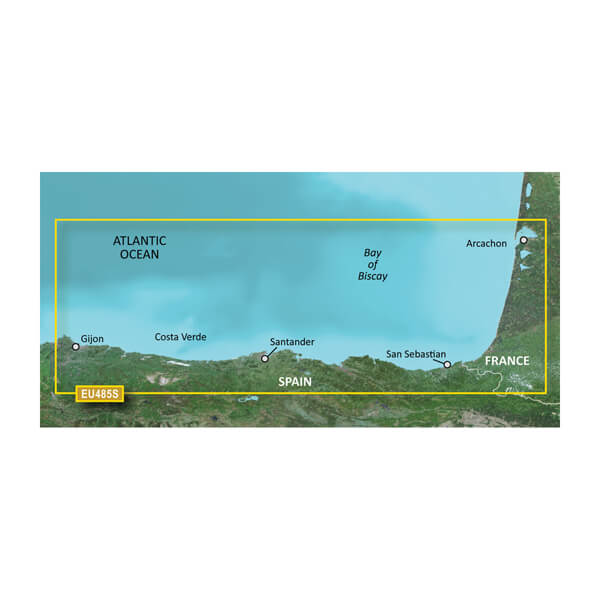
VEU485S-Fuenterrabia to Gijon
$299.00 Add to cartOverview
Premier charts
- Provides exceptional coverage, clarity and detail with coastal charts that feature integrated Garmin and Navionics® data
- Auto Guidance1 technology quickly calculates a suggested route by using your desired depth and overhead clearance and provides a suggested path to follow
- Certain areas offer Relief Shading (downloadable via the ActiveCaptain App), which combines colour and shadow to give you an easy-to-interpret, clearer view of bottom structure
- Includes Depth Range Shading for up to 10 depth ranges, enabling you to view your target depth at a glance
- Up to 30 cm (1 ft) contours provide a more accurate depiction of the bottom structure for improved fishing charts
- To give a clear picture of shallow waters to avoid, the Shallow Water Shading feature allows for shading at a user-defined depth
Experience unparalleled coverage and brilliant detail when you're on the water. BlueChart® g3 Vision charts provide industry-leading coverage, clarity and detail with integrated Garmin and Navionics content.
Auto Guidance
Whether you are fishing or cruising, select a spot, and get a route showing you the general path and nearby obstructions at a safe depth1.
Relief shading
Available for the U.K., Ireland, Belgium, France, Germany, the Netherlands and Norway, this exceptional shading feature combines colour and shadow to give you an easy-to-interpret view of bottom profile, making it easy to find artificial reefs, underwater shelves and more. Relief Shading is available via download from the ActiveCaptain® app.
Depth Range Shading
This feature displays high-resolution Depth Range Shading for up to 10 depth ranges so you can view your designated target depth.
Shallow Water Shading
To give a clear picture of shallow waters to avoid, this feature allows for shading at a user-defined depth.
Detailed contours
BlueChart g3 charts feature 30 cm (1 ft) contours that provide a more accurate depiction of bottom structure for improved fishing charts and enhanced detail in swamps, canals and port plans.
High-resolution satellite imagery
High-resolution satellite imagery with navigational charts overlaid gives you a realistic view of your surroundings. It's our most realistic charting display in a chartplotter — ideal for entering unfamiliar harbours or ports.
FishEye view
This underwater perspective shows 3D representation of bottom and contours as seen from below the waterline. Interface with sonar data for a customised view.
MarinerEye view
This view provides a 3D representation of the surrounding area both above and below the waterline.
Aerial photography
Crystal-clear aerial photography shows exceptional detail of many ports, harbours and marinas and is ideal when entering unfamiliar ports.
1Auto Guidance is for planning purposes only and does not replace safe navigation practices.
-
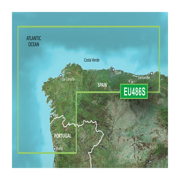
VEU486S-Galicia and Asturias
$299.00 Add to cartOverview
Premium Coastal Charts
- Provides exceptional coverage, clarity and detail with coastal charts that feature integrated Garmin and Navionics® data
- Auto Guidance¹ technology quickly calculates a route using your desired depth and overhead clearance and provides a suggested path to follow
- Includes depth range shading for up to 10 depth ranges, enabling you to view your target depth at a glance
- Up to 1’ contours provide a more accurate depiction of the bottom structure for improved fishing charts
- To give a clear picture of shallow waters to avoid, the Shallow Water Shading feature allows for shading at a user-defined depth
Experience unparalleled coverage and brilliant detail when you’re on the water with charts that feature integrated Navionics® data, Auto Guidance technology1 and more.
Auto Guidance Technology
Whether you are fishing or cruising, select a spot, and get a route showing you the general path and nearby obstructions at a safe depth1.
High Resolution Relief Shading
This exceptional shading feature combines color and shadow to give you an easy-to-interpret view of bottom profile, making it easy to find artificial reefs, underwater shelves and more. High-resolution relief shading is available as a free downloadable feature via the ActiveCaptain® app.
High-resolution Relief Shading
This exceptional shading feature combines color and shadow to give you an easy-to-interpret view of bottom profile, making it easy to find artificial reefs, underwater shelves and more. High-resolution relief shading is available as a free downloadable feature via the ActiveCaptain® app.
Depth Range Shading
This feature displays high-resolution depth range shading for up to 10 depth ranges so you can view your designated target depth.
Detailed Contours
BlueChart g3 Vision charts feature 1’ contours that provide a more accurate depiction of bottom structure for improved fishing charts and enhanced detail in swamps, canals and port plans.
Shallow Water Shading
To aid in navigation, Shallow Water Shading allows map shading at a user-defined depth to give a clear picture of shallow waters.
High-resolution Satellite Imagery
High-resolution satellite imagery with navigational charts overlaid gives you a realistic view of your surroundings. It’s our most realistic charting display in a chartplotter — ideal for entering unfamiliar harbors or ports.
FishEye View
This underwater perspective shows 3-D representation of bottom and contours as seen from below the waterline. Interface with sonar data for a customized view.
MarinerEye View
This view provides a 3-D representation of the surrounding area both above and below the waterline.
Aerial Photography
Crystal-clear aerial photography shows exceptional detail of many ports, harbors and marinas and is ideal when entering unfamiliar ports.
¹Auto Guidance is for planning purposes only and does not replace safe navigation practices
-
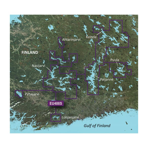
VEU488S - Keitele-Paijanne-Tampere
$299.00 Add to cartOverview
Premium Coastal Charts
- Provides exceptional coverage, clarity and detail with coastal charts that feature integrated Garmin and Navionics® data
- Auto Guidance¹ technology quickly calculates a route using your desired depth and overhead clearance and provides a suggested path to follow
- Includes depth range shading for up to 10 depth ranges, enabling you to view your target depth at a glance
- Up to 1’ contours provide a more accurate depiction of the bottom structure for improved fishing charts
- To give a clear picture of shallow waters to avoid, the Shallow Water Shading feature allows for shading at a user-defined depth
Experience unparalleled coverage and brilliant detail when you’re on the water with charts that feature integrated Navionics® data, Auto Guidance technology1 and more.
Auto Guidance Technology
Whether you are fishing or cruising, select a spot, and get a route showing you the general path and nearby obstructions at a safe depth1.
Depth Range Shading
This feature displays high-resolution depth range shading for up to 10 depth ranges so you can view your designated target depth.
Detailed Contours
BlueChart g3 Vision charts feature 1’ contours that provide a more accurate depiction of bottom structure for improved fishing charts and enhanced detail in swamps, canals and port plans.
Shallow Water Shading
To aid in navigation, Shallow Water Shading allows map shading at a user-defined depth to give a clear picture of shallow waters.
High-resolution Satellite Imagery
High-resolution satellite imagery with navigational charts overlaid gives you a realistic view of your surroundings. It’s our most realistic charting display in a chartplotter — ideal for entering unfamiliar harbors or ports.
FishEye View
This underwater perspective shows 3-D representation of bottom and contours as seen from below the waterline. Interface with sonar data for a customized view.
MarinerEye View
This view provides a 3-D representation of the surrounding area both above and below the waterline.
Aerial Photography
Crystal-clear aerial photography shows exceptional detail of many ports, harbors and marinas and is ideal when entering unfamiliar ports.
¹Auto Guidance is for planning purposes only and does not replace safe navigation practices
-
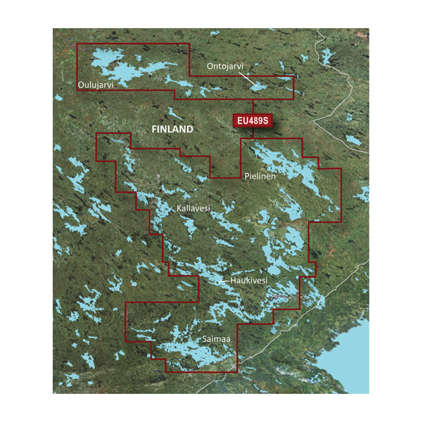
VEU489S - Kuopio-Lappeenranta
$299.00 Add to cartOverview
Premium Coastal Charts
- Provides exceptional coverage, clarity and detail with coastal charts that feature integrated Garmin and Navionics® data
- Auto Guidance¹ technology quickly calculates a route using your desired depth and overhead clearance and provides a suggested path to follow
- Includes depth range shading for up to 10 depth ranges, enabling you to view your target depth at a glance
- Up to 1’ contours provide a more accurate depiction of the bottom structure for improved fishing charts
- To give a clear picture of shallow waters to avoid, the Shallow Water Shading feature allows for shading at a user-defined depth
Experience unparalleled coverage and brilliant detail when you’re on the water with charts that feature integrated Navionics® data, Auto Guidance technology1 and more.
Auto Guidance Technology
Whether you are fishing or cruising, select a spot, and get a route showing you the general path and nearby obstructions at a safe depth1.
Depth Range Shading
This feature displays high-resolution depth range shading for up to 10 depth ranges so you can view your designated target depth.
Detailed Contours
BlueChart g3 Vision charts feature 1’ contours that provide a more accurate depiction of bottom structure for improved fishing charts and enhanced detail in swamps, canals and port plans.
Shallow Water Shading
To aid in navigation, Shallow Water Shading allows map shading at a user-defined depth to give a clear picture of shallow waters.
High-resolution Satellite Imagery
High-resolution satellite imagery with navigational charts overlaid gives you a realistic view of your surroundings. It’s our most realistic charting display in a chartplotter — ideal for entering unfamiliar harbors or ports.
FishEye View
This underwater perspective shows 3-D representation of bottom and contours as seen from below the waterline. Interface with sonar data for a customized view.
MarinerEye View
This view provides a 3-D representation of the surrounding area both above and below the waterline.
Aerial Photography
Crystal-clear aerial photography shows exceptional detail of many ports, harbors and marinas and is ideal when entering unfamiliar ports.
¹Auto Guidance is for planning purposes only and does not replace safe navigation practices
-
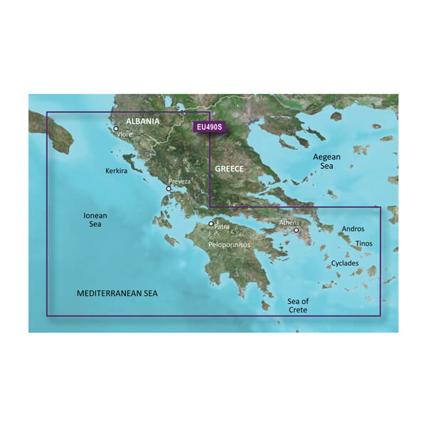
VEU490S-Greece West Coast and Athens
$340.00 Add to cartOverview
Premium Coastal Charts
- Provides exceptional coverage, clarity and detail with coastal charts that feature integrated Garmin and Navionics® data
- Auto Guidance¹ technology quickly calculates a route using your desired depth and overhead clearance and provides a suggested path to follow
- Includes depth range shading for up to 10 depth ranges, enabling you to view your target depth at a glance
- Up to 1’ contours provide a more accurate depiction of the bottom structure for improved fishing charts
- To give a clear picture of shallow waters to avoid, the Shallow Water Shading feature allows for shading at a user-defined depth
Experience unparalleled coverage and brilliant detail when you’re on the water with charts that feature integrated Navionics® data, Auto Guidance technology1 and more.
Auto Guidance Technology
Whether you are fishing or cruising, select a spot, and get a route showing you the general path and nearby obstructions at a safe depth1.
High Resolution Relief Shading
This exceptional shading feature combines color and shadow to give you an easy-to-interpret view of bottom profile, making it easy to find artificial reefs, underwater shelves and more. High-resolution relief shading is available as a free downloadable feature via the ActiveCaptain® app.
Depth Range Shading
This feature displays high-resolution depth range shading for up to 10 depth ranges so you can view your designated target depth.
Detailed Contours
BlueChart g3 Vision charts feature 1’ contours that provide a more accurate depiction of bottom structure for improved fishing charts and enhanced detail in swamps, canals and port plans.
Shallow Water Shading
To aid in navigation, Shallow Water Shading allows map shading at a user-defined depth to give a clear picture of shallow waters.
High-resolution Satellite Imagery
High-resolution satellite imagery with navigational charts overlaid gives you a realistic view of your surroundings. It’s our most realistic charting display in a chartplotter — ideal for entering unfamiliar harbors or ports.
FishEye View
This underwater perspective shows 3-D representation of bottom and contours as seen from below the waterline. Interface with sonar data for a customized view.
MarinerEye View
This view provides a 3-D representation of the surrounding area both above and below the waterline.
Aerial Photography
Crystal-clear aerial photography shows exceptional detail of many ports, harbors and marinas and is ideal when entering unfamiliar ports.
¹Auto Guidance is for planning purposes only and does not replace safe navigation practices
-
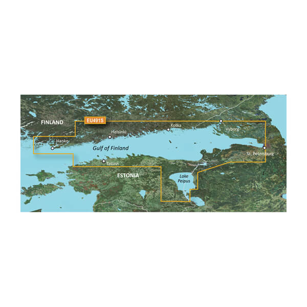
VEU491S - Hanko-St. Petersburg-Tallin
$299.00 Add to cartOverview
Premium Coastal Charts
- Provides exceptional coverage, clarity and detail with coastal charts that feature integrated Garmin and Navionics® data
- Auto Guidance¹ technology quickly calculates a route using your desired depth and overhead clearance and provides a suggested path to follow
- Includes depth range shading for up to 10 depth ranges, enabling you to view your target depth at a glance
- Up to 1’ contours provide a more accurate depiction of the bottom structure for improved fishing charts
- To give a clear picture of shallow waters to avoid, the Shallow Water Shading feature allows for shading at a user-defined depth
Experience unparalleled coverage and brilliant detail when you’re on the water with charts that feature integrated Navionics® data, Auto Guidance technology1 and more.
Auto Guidance Technology
Whether you are fishing or cruising, select a spot, and get a route showing you the general path and nearby obstructions at a safe depth1.
Depth Range Shading
This feature displays high-resolution depth range shading for up to 10 depth ranges so you can view your designated target depth.
Detailed Contours
BlueChart g3 Vision charts feature 1’ contours that provide a more accurate depiction of bottom structure for improved fishing charts and enhanced detail in swamps, canals and port plans.
Shallow Water Shading
To aid in navigation, Shallow Water Shading allows map shading at a user-defined depth to give a clear picture of shallow waters.
High-resolution Satellite Imagery
High-resolution satellite imagery with navigational charts overlaid gives you a realistic view of your surroundings. It’s our most realistic charting display in a chartplotter — ideal for entering unfamiliar harbors or ports.
FishEye View
This underwater perspective shows 3-D representation of bottom and contours as seen from below the waterline. Interface with sonar data for a customized view.
MarinerEye View
This view provides a 3-D representation of the surrounding area both above and below the waterline.
Aerial Photography
Crystal-clear aerial photography shows exceptional detail of many ports, harbors and marinas and is ideal when entering unfamiliar ports.
¹Auto Guidance is for planning purposes only and does not replace safe navigation practices
-
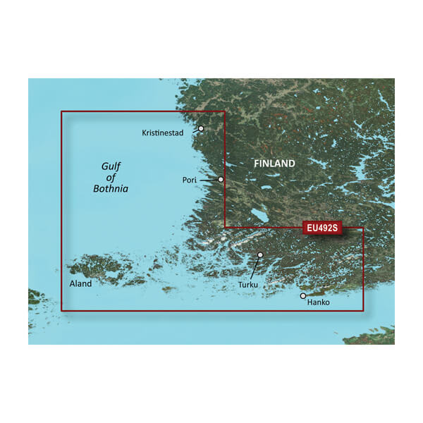
VEU492S - Kristinestad to Hanko
$299.00 Add to cartOverview
Premium Coastal Charts
- Provides exceptional coverage, clarity and detail with coastal charts that feature integrated Garmin and Navionics® data
- Auto Guidance¹ technology quickly calculates a route using your desired depth and overhead clearance and provides a suggested path to follow
- Includes depth range shading for up to 10 depth ranges, enabling you to view your target depth at a glance
- Up to 1’ contours provide a more accurate depiction of the bottom structure for improved fishing charts
- To give a clear picture of shallow waters to avoid, the Shallow Water Shading feature allows for shading at a user-defined depth
Experience unparalleled coverage and brilliant detail when you’re on the water with charts that feature integrated Navionics® data, Auto Guidance technology1 and more.
Auto Guidance Technology
Whether you are fishing or cruising, select a spot, and get a route showing you the general path and nearby obstructions at a safe depth1.
Depth Range Shading
This feature displays high-resolution depth range shading for up to 10 depth ranges so you can view your designated target depth.
Detailed Contours
BlueChart g3 Vision charts feature 1’ contours that provide a more accurate depiction of bottom structure for improved fishing charts and enhanced detail in swamps, canals and port plans.
Shallow Water Shading
To aid in navigation, Shallow Water Shading allows map shading at a user-defined depth to give a clear picture of shallow waters.
High-resolution Satellite Imagery
High-resolution satellite imagery with navigational charts overlaid gives you a realistic view of your surroundings. It’s our most realistic charting display in a chartplotter — ideal for entering unfamiliar harbors or ports.
FishEye View
This underwater perspective shows 3-D representation of bottom and contours as seen from below the waterline. Interface with sonar data for a customized view.
MarinerEye View
This view provides a 3-D representation of the surrounding area both above and below the waterline.
Aerial Photography
Crystal-clear aerial photography shows exceptional detail of many ports, harbors and marinas and is ideal when entering unfamiliar ports.
¹Auto Guidance is for planning purposes only and does not replace safe navigation practices
-
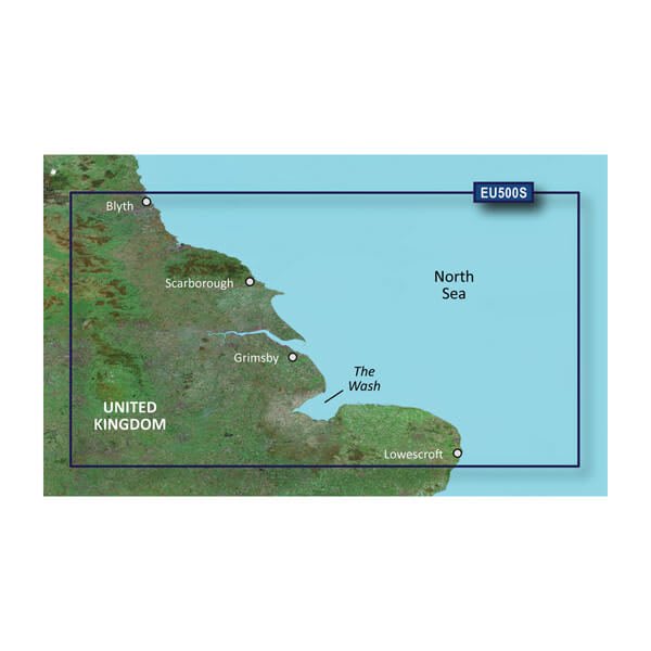
VEU500S-Blyth to Lowestoft
$299.00 Add to cartOverview
Premier charts
- Provides exceptional coverage, clarity and detail with coastal charts that feature integrated Garmin and Navionics® data
- Auto Guidance1 technology quickly calculates a suggested route by using your desired depth and overhead clearance and provides a suggested path to follow
- Certain areas offer Relief Shading (downloadable via the ActiveCaptain App), which combines colour and shadow to give you an easy-to-interpret, clearer view of bottom structure
- Includes Depth Range Shading for up to 10 depth ranges, enabling you to view your target depth at a glance
- Up to 30 cm (1 ft) contours provide a more accurate depiction of the bottom structure for improved fishing charts
- To give a clear picture of shallow waters to avoid, the Shallow Water Shading feature allows for shading at a user-defined depth
Experience unparalleled coverage and brilliant detail when you're on the water. BlueChart® g3 Vision charts provide industry-leading coverage, clarity and detail with integrated Garmin and Navionics content.
Auto Guidance
Whether you are fishing or cruising, select a spot, and get a route showing you the general path and nearby obstructions at a safe depth1.
Relief shading
Available for the U.K., Ireland, Belgium, France, Germany, the Netherlands and Norway, this exceptional shading feature combines colour and shadow to give you an easy-to-interpret view of bottom profile, making it easy to find artificial reefs, underwater shelves and more. Relief Shading is available via download from the ActiveCaptain® app.
Depth Range Shading
This feature displays high-resolution Depth Range Shading for up to 10 depth ranges so you can view your designated target depth.
Shallow Water Shading
To give a clear picture of shallow waters to avoid, this feature allows for shading at a user-defined depth.
Detailed contours
BlueChart g3 charts feature 30 cm (1 ft) contours that provide a more accurate depiction of bottom structure for improved fishing charts and enhanced detail in swamps, canals and port plans.
High-resolution satellite imagery
High-resolution satellite imagery with navigational charts overlaid gives you a realistic view of your surroundings. It's our most realistic charting display in a chartplotter — ideal for entering unfamiliar harbours or ports.
FishEye view
This underwater perspective shows 3D representation of bottom and contours as seen from below the waterline. Interface with sonar data for a customised view.
MarinerEye view
This view provides a 3D representation of the surrounding area both above and below the waterline.
Aerial photography
Crystal-clear aerial photography shows exceptional detail of many ports, harbours and marinas and is ideal when entering unfamiliar ports.
1Auto Guidance is for planning purposes only and does not replace safe navigation practices.
-
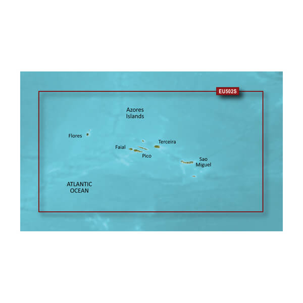
VEU502S-Azores Islands
$299.00 Add to cartOverview
Premier Coastal Charts
- Industry-leading coverage, clarity and detail with updated coastal charts that feature integrated Garmin and Navionics® content
- Auto Guidance¹ technology quickly calculates a suggested route by using your desired depth and overhead clearance
- Includes Depth Range Shading for up to 10 depth ranges, enabling you to view your target depth at a glance
- Up to 1’ contours provide a more accurate depiction of the bottom structure for improved fishing charts
- To give a clear picture of shallow waters to avoid, the Shallow Water Shading allows for shading at a user-defined depth
Experience unparalleled coverage and brilliant detail when you’re on the water. BlueChart g3 Vision coastal charts provide industry-leading coverage, clarity and detail with integrated Garmin and Navionics content.
Auto Guidance
Whether you are fishing or cruising, select a spot, and get a route showing you the general path and nearby obstructions at a safe depth1.
Depth Range Shading
This feature displays high-resolution Depth Range Shading for up to 10 depth ranges so you can view your designated target depth.
Shallow Water Shading
To give a clear picture of shallow waters to avoid, this feature allows for shading at a user-defined depth.
Detailed Contours
BlueChart g3 Vision charts feature 1’ contours that provide a more accurate depiction of bottom structure for improved fishing charts and enhanced detail in swamps, canals and port plans.
High-resolution Satellite Imagery
High-resolution satellite imagery with navigational charts overlaid gives you a realistic view of your surroundings. It’s our most realistic charting display in a chartplotter — ideal for entering unfamiliar harbors or ports.
FishEye View
This underwater perspective shows 3-D representation of bottom and contours as seen from below the waterline. Interface with sonar data for a customized view.
MarinerEye View
This view provides a 3-D representation of the surrounding area both above and below the waterline.
Aerial Photography
Crystal-clear aerial photography shows exceptional detail of many ports, harbors and marinas and is ideal when entering unfamiliar ports.
¹Auto Guidance is for planning purposes only and does not replace safe navigation practices
-
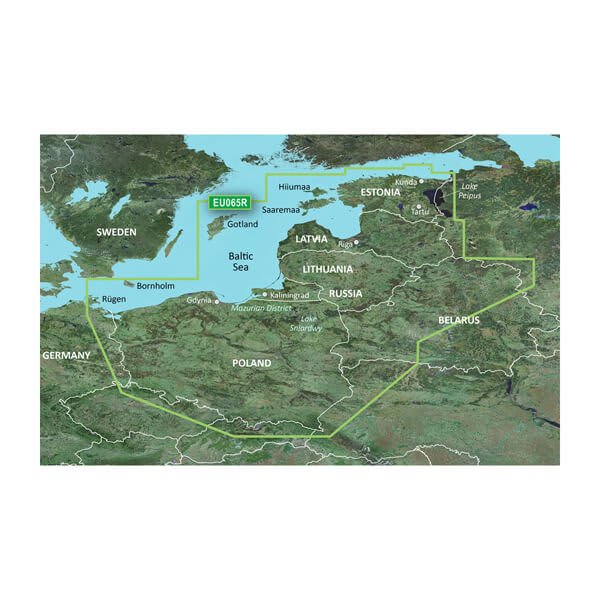
VEU065R - Baltic Sea, East Coast
$429.00 Add to cartOverview
Unparalleled Coastal Chart Coverage
- Provides exceptional coverage, clarity and detail with coastal charts that feature integrated Garmin and Navionics® data
- Auto Guidance¹ technology calculates a route using your desired depth and overhead clearance and provides a suggested path to follow
- Includes depth range shading for up to 10 depth ranges, enabling you to view your target depth at a glance
- Up to 1’ contours provide a more accurate depiction of the bottom structure for improved fishing charts and navigation in swamps, canals and marinas
Experience unparalleled coverage and brilliant detail when you’re on the water with charts that feature integrated Navionics® data, Auto Guidance technology¹ and more.
Auto Guidance Technology
Whether you are fishing or cruising, select a spot, and get a route showing you the general path and nearby obstructions at a safe depth1.
Depth Range Shading
This feature displays high-resolution depth range shading for up to 10 depth ranges so you can view your designated target depth.
Detailed Contours
BlueChart g3 charts feature 1’ contours that provide a more accurate depiction of bottom structure for improved fishing charts and enhanced detail in swamps, canals and port plans.
Shallow Water Shading
To aid in navigation, Shallow Water Shading allows map shading at a user-defined depth to give a clear picture of shallow waters.
¹Auto Guidance is for planning purposes only and does not replace safe navigation practices. Auto Guidance is not included in preloaded BlueChart g3 for ECHOMAP™ Plus series chartplotters
-
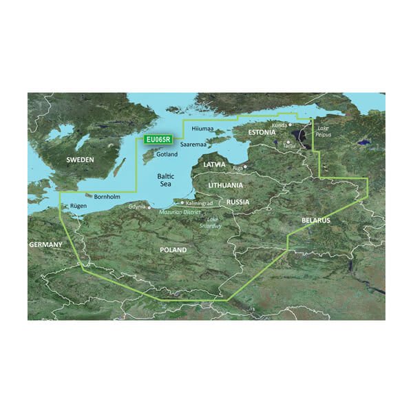
HXEU065R - Baltic Sea, East Coast
$219.00 Add to cartOverview
Unparalleled Coastal Chart Coverage
- Provides exceptional coverage, clarity and detail with coastal charts that feature integrated Garmin and Navionics® data
- Auto Guidance¹ technology calculates a route using your desired depth and overhead clearance and provides a suggested path to follow
- Includes depth range shading for up to 10 depth ranges, enabling you to view your target depth at a glance
- Up to 1’ contours provide a more accurate depiction of the bottom structure for improved fishing charts and navigation in swamps, canals and marinas
Experience unparalleled coverage and brilliant detail when you’re on the water with charts that feature integrated Navionics® data, Auto Guidance technology¹ and more.
Auto Guidance Technology
Whether you are fishing or cruising, select a spot, and get a route showing you the general path and nearby obstructions at a safe depth1.
Depth Range Shading
This feature displays high-resolution depth range shading for up to 10 depth ranges so you can view your designated target depth.
Detailed Contours
BlueChart g3 charts feature 1’ contours that provide a more accurate depiction of bottom structure for improved fishing charts and enhanced detail in swamps, canals and port plans.
Shallow Water Shading
To aid in navigation, Shallow Water Shading allows map shading at a user-defined depth to give a clear picture of shallow waters.
¹Auto Guidance is for planning purposes only and does not replace safe navigation practices. Auto Guidance is not included in preloaded BlueChart g3 for ECHOMAP™ Plus series chartplotters
-
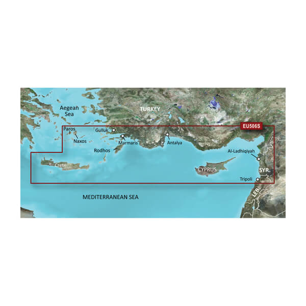
VEU506S-Crete-Cyprus
$299.00 Add to cartOverview
Premier Coastal Charts
- Industry-leading coverage, clarity and detail with updated coastal charts that feature integrated Garmin and Navionics® content
- Auto Guidance¹ technology quickly calculates a suggested route by using your desired depth and overhead clearance
- Includes Depth Range Shading for up to 10 depth ranges, enabling you to view your target depth at a glance
- Up to 1’ contours provide a more accurate depiction of the bottom structure for improved fishing charts
- To give a clear picture of shallow waters to avoid, the Shallow Water Shading allows for shading at a user-defined depth
Experience unparalleled coverage and brilliant detail when you’re on the water. BlueChart g3 Vision coastal charts provide industry-leading coverage, clarity and detail with integrated Garmin and Navionics content.
Auto Guidance
Whether you are fishing or cruising, select a spot, and get a route showing you the general path and nearby obstructions at a safe depth1.
Depth Range Shading
This feature displays high-resolution Depth Range Shading for up to 10 depth ranges so you can view your designated target depth.
Shallow Water Shading
To give a clear picture of shallow waters to avoid, this feature allows for shading at a user-defined depth.
Detailed Contours
BlueChart g3 Vision charts feature 1’ contours that provide a more accurate depiction of bottom structure for improved fishing charts and enhanced detail in swamps, canals and port plans.
High-resolution Satellite Imagery
High-resolution satellite imagery with navigational charts overlaid gives you a realistic view of your surroundings. It’s our most realistic charting display in a chartplotter — ideal for entering unfamiliar harbors or ports.
FishEye View
This underwater perspective shows 3-D representation of bottom and contours as seen from below the waterline. Interface with sonar data for a customized view.
MarinerEye View
This view provides a 3-D representation of the surrounding area both above and below the waterline.
Aerial Photography
Crystal-clear aerial photography shows exceptional detail of many ports, harbors and marinas and is ideal when entering unfamiliar ports.
¹Auto Guidance is for planning purposes only and does not replace safe navigation practices
-
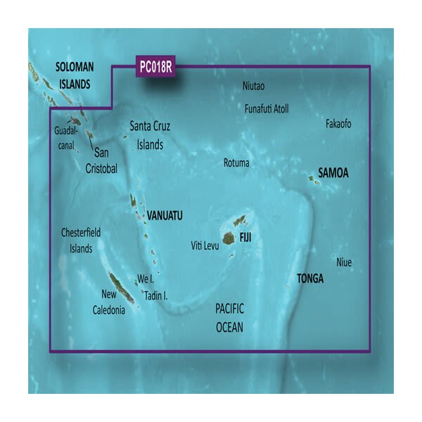
VPC018R-New Caledonia to Fiji
$429.00 Add to cartOverview
Unparalleled Coastal Chart Coverage
- Provides exceptional coverage, clarity and detail with coastal charts that feature integrated Garmin and Navionics® data
- Auto Guidance¹ technology calculates a route using your desired depth and overhead clearance and provides a suggested path to follow
- Includes depth range shading for up to 10 depth ranges, enabling you to view your target depth at a glance
- Up to 1’ contours provide a more accurate depiction of the bottom structure for improved fishing charts and navigation in swamps, canals and marinas
Experience unparalleled coverage and brilliant detail when you’re on the water with charts that feature integrated Navionics® data, Auto Guidance technology¹ and more.
Auto Guidance Technology
Whether you are fishing or cruising, select a spot, and get a route showing you the general path and nearby obstructions at a safe depth1.
Depth Range Shading
This feature displays high-resolution depth range shading for up to 10 depth ranges so you can view your designated target depth.
Detailed Contours
BlueChart g3 charts feature 1’ contours that provide a more accurate depiction of bottom structure for improved fishing charts and enhanced detail in swamps, canals and port plans.
Shallow Water Shading
To aid in navigation, Shallow Water Shading allows map shading at a user-defined depth to give a clear picture of shallow waters.
¹Auto Guidance is for planning purposes only and does not replace safe navigation practices. Auto Guidance is not included in preloaded BlueChart g3 for ECHOMAP™ Plus series chartplotters
-
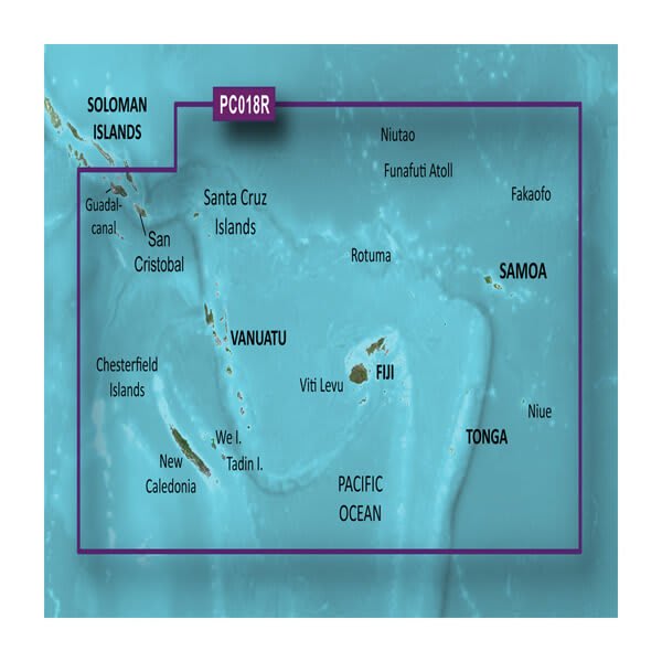
HXPC018R - New Caledonia to Fiji
$269.01 Add to cartOverview
Unparalleled Coastal Chart Coverage
- Provides exceptional coverage, clarity and detail with coastal charts that feature integrated Garmin and Navionics® data
- Auto Guidance¹ technology calculates a route using your desired depth and overhead clearance and provides a suggested path to follow
- Includes depth range shading for up to 10 depth ranges, enabling you to view your target depth at a glance
- Up to 1’ contours provide a more accurate depiction of the bottom structure for improved fishing charts and navigation in swamps, canals and marinas
Experience unparalleled coverage and brilliant detail when you’re on the water with charts that feature integrated Navionics® data, Auto Guidance technology¹ and more.
Auto Guidance Technology
Whether you are fishing or cruising, select a spot, and get a route showing you the general path and nearby obstructions at a safe depth1.
Depth Range Shading
This feature displays high-resolution depth range shading for up to 10 depth ranges so you can view your designated target depth.
Detailed Contours
BlueChart g3 charts feature 1’ contours that provide a more accurate depiction of bottom structure for improved fishing charts and enhanced detail in swamps, canals and port plans.
Shallow Water Shading
To aid in navigation, Shallow Water Shading allows map shading at a user-defined depth to give a clear picture of shallow waters.
¹Auto Guidance is for planning purposes only and does not replace safe navigation practices. Auto Guidance is not included in preloaded BlueChart g3 for ECHOMAP™ Plus series chartplotters
-
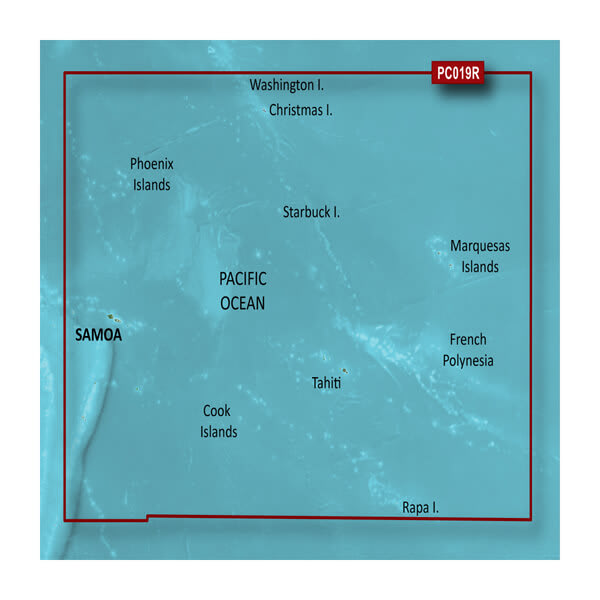
VPC019R-Polynesia
$429.00 Add to cartOverview
Unparalleled Coastal Chart Coverage
- Provides exceptional coverage, clarity and detail with coastal charts that feature integrated Garmin and Navionics® data
- Auto Guidance¹ technology calculates a route using your desired depth and overhead clearance and provides a suggested path to follow
- Includes depth range shading for up to 10 depth ranges, enabling you to view your target depth at a glance
- Up to 1’ contours provide a more accurate depiction of the bottom structure for improved fishing charts and navigation in swamps, canals and marinas
Experience unparalleled coverage and brilliant detail when you’re on the water with charts that feature integrated Navionics® data, Auto Guidance technology¹ and more.
Auto Guidance Technology
Whether you are fishing or cruising, select a spot, and get a route showing you the general path and nearby obstructions at a safe depth1.
Depth Range Shading
This feature displays high-resolution depth range shading for up to 10 depth ranges so you can view your designated target depth.
Detailed Contours
BlueChart g3 charts feature 1’ contours that provide a more accurate depiction of bottom structure for improved fishing charts and enhanced detail in swamps, canals and port plans.
Shallow Water Shading
To aid in navigation, Shallow Water Shading allows map shading at a user-defined depth to give a clear picture of shallow waters.
¹Auto Guidance is for planning purposes only and does not replace safe navigation practices. Auto Guidance is not included in preloaded BlueChart g3 for ECHOMAP™ Plus series chartplotters
-
HXPC019R-Polynesia
$269.01 Add to cartOverview
Unparalleled Coastal Chart Coverage
- Provides exceptional coverage, clarity and detail with coastal charts that feature integrated Garmin and Navionics® data
- Auto Guidance¹ technology calculates a route using your desired depth and overhead clearance and provides a suggested path to follow
- Includes depth range shading for up to 10 depth ranges, enabling you to view your target depth at a glance
- Up to 1’ contours provide a more accurate depiction of the bottom structure for improved fishing charts and navigation in swamps, canals and marinas
Experience unparalleled coverage and brilliant detail when you’re on the water with charts that feature integrated Navionics® data, Auto Guidance technology¹ and more.
Auto Guidance Technology
Whether you are fishing or cruising, select a spot, and get a route showing you the general path and nearby obstructions at a safe depth1.
Depth Range Shading
This feature displays high-resolution depth range shading for up to 10 depth ranges so you can view your designated target depth.
Detailed Contours
BlueChart g3 charts feature 1’ contours that provide a more accurate depiction of bottom structure for improved fishing charts and enhanced detail in swamps, canals and port plans.
Shallow Water Shading
To aid in navigation, Shallow Water Shading allows map shading at a user-defined depth to give a clear picture of shallow waters.
¹Auto Guidance is for planning purposes only and does not replace safe navigation practices. Auto Guidance is not included in preloaded BlueChart g3 for ECHOMAP™ Plus series chartplotters
-

VPC410S-Esperance to Exmouth Bay
$319.00 Add to cartOverview
Our Premium Chart Offering
- Derived from official charts and private sources to provide navigational aids, spot soundings, depth contours, tides and currents, and detailed harbors and marinas
- Garmin Auto Guidance technology shows a suggested route to a destination¹
- Depth Range Shading for up to 10 depth ranges enables you to view your target depth at a glance
- Up to 1-foot contours provide a more accurate depiction of the bottom structure for improved fishing charts and navigation
- Shallow Water Shading feature allows for depth shading at a user-defined level to aid in navigation
- Unique 3D views like MarinerEye and FishEye provide additional perspective both above and below the water line
- High-resolution satellite imagery of ports, marinas, bridges and navigational landmarks for superior situational awareness
- Worldwide coverage available
- Keep your charts up to date with our industry-leading New Chart Guarantee and discount card update program
Get a Fresh Perspective
Get a fresh perspective when you take to the water with BlueChart® g3 Vision®. With BlueChart g3 Vision data, you’ll get detailed marine cartography that provides convenient viewing of nautical content and other premium features. BlueChart g3 Vision allows you to see your vessel’s precise, on-chart position in relation to naviads, coastal features, anchorages, obstructions, waterways, restricted areas and more. You will also have access to detailed mapping capabilities that include Safety Shading, Fishing Charts, smooth data transition between zoom levels, harmonious transition across chart borders, and reduction of chart discontinuities. Premium features include 3-D perspective above and below the waterline, Auto Guidance, high-resolution imagery, and “real picture” aerial photos of ports, harbors, marinas, waterways, landmarks and other points of interest. It’s the most realistic mapping display Garmin has ever offered.
Click the Products tab to see if this map is compatible with your Garmin device.
-

HXPC410S-Esperance to Exmouth Bay
$139.00 Add to cartOverview
Our Premium Chart Offering
- Derived from official charts and private sources to provide navigational aids, spot soundings, depth contours, tides and currents, and detailed harbors and marinas
- Garmin Auto Guidance technology shows a suggested route to a destination¹
- Depth Range Shading for up to 10 depth ranges enables you to view your target depth at a glance
- Up to 1-foot contours provide a more accurate depiction of the bottom structure for improved fishing charts and navigation
- Shallow Water Shading feature allows for depth shading at a user-defined level to aid in navigation
- Unique 3D views like MarinerEye and FishEye provide additional perspective both above and below the water line
- High-resolution satellite imagery of ports, marinas, bridges and navigational landmarks for superior situational awareness
- Worldwide coverage available
- Keep your charts up to date with our industry-leading New Chart Guarantee and discount card update program
Get a Fresh Perspective
Get a fresh perspective when you take to the water with BlueChart® g3 Vision®. With BlueChart g3 Vision data, you’ll get detailed marine cartography that provides convenient viewing of nautical content and other premium features. BlueChart g3 Vision allows you to see your vessel’s precise, on-chart position in relation to naviads, coastal features, anchorages, obstructions, waterways, restricted areas and more. You will also have access to detailed mapping capabilities that include Safety Shading, Fishing Charts, smooth data transition between zoom levels, harmonious transition across chart borders, and reduction of chart discontinuities. Premium features include 3-D perspective above and below the waterline, Auto Guidance, high-resolution imagery, and “real picture” aerial photos of ports, harbors, marinas, waterways, landmarks and other points of interest. It’s the most realistic mapping display Garmin has ever offered.
Click the Products tab to see if this map is compatible with your Garmin device.
-
VPC411S-Geraldton to Darwin
$319.00 Add to cartOverview
Our Premium Chart Offering
- Derived from official charts and private sources to provide navigational aids, spot soundings, depth contours, tides and currents, and detailed harbors and marinas
- Garmin Auto Guidance technology shows a suggested route to a destination¹
- Depth Range Shading for up to 10 depth ranges enables you to view your target depth at a glance
- Up to 1-foot contours provide a more accurate depiction of the bottom structure for improved fishing charts and navigation
- Shallow Water Shading feature allows for depth shading at a user-defined level to aid in navigation
- Unique 3D views like MarinerEye and FishEye provide additional perspective both above and below the water line
- High-resolution satellite imagery of ports, marinas, bridges and navigational landmarks for superior situational awareness
- Worldwide coverage available
- Keep your charts up to date with our industry-leading New Chart Guarantee and discount card update program
Get a Fresh Perspective
Get a fresh perspective when you take to the water with BlueChart® g3 Vision®. With BlueChart g3 Vision data, you’ll get detailed marine cartography that provides convenient viewing of nautical content and other premium features. BlueChart g3 Vision allows you to see your vessel’s precise, on-chart position in relation to naviads, coastal features, anchorages, obstructions, waterways, restricted areas and more. You will also have access to detailed mapping capabilities that include Safety Shading, Fishing Charts, smooth data transition between zoom levels, harmonious transition across chart borders, and reduction of chart discontinuities. Premium features include 3-D perspective above and below the waterline, Auto Guidance, high-resolution imagery, and “real picture” aerial photos of ports, harbors, marinas, waterways, landmarks and other points of interest. It’s the most realistic mapping display Garmin has ever offered.
Click the Products tab to see if this map is compatible with your Garmin device.
-
HXPC411S-Geraldton to Darwin
$139.00 Add to cartOverview
Our Premium Chart Offering
- Derived from official charts and private sources to provide navigational aids, spot soundings, depth contours, tides and currents, and detailed harbors and marinas
- Garmin Auto Guidance technology shows a suggested route to a destination¹
- Depth Range Shading for up to 10 depth ranges enables you to view your target depth at a glance
- Up to 1-foot contours provide a more accurate depiction of the bottom structure for improved fishing charts and navigation
- Shallow Water Shading feature allows for depth shading at a user-defined level to aid in navigation
- Unique 3D views like MarinerEye and FishEye provide additional perspective both above and below the water line
- High-resolution satellite imagery of ports, marinas, bridges and navigational landmarks for superior situational awareness
- Worldwide coverage available
- Keep your charts up to date with our industry-leading New Chart Guarantee and discount card update program
Get a Fresh Perspective
Get a fresh perspective when you take to the water with BlueChart® g3 Vision®. With BlueChart g3 Vision data, you’ll get detailed marine cartography that provides convenient viewing of nautical content and other premium features. BlueChart g3 Vision allows you to see your vessel’s precise, on-chart position in relation to naviads, coastal features, anchorages, obstructions, waterways, restricted areas and more. You will also have access to detailed mapping capabilities that include Safety Shading, Fishing Charts, smooth data transition between zoom levels, harmonious transition across chart borders, and reduction of chart discontinuities. Premium features include 3-D perspective above and below the waterline, Auto Guidance, high-resolution imagery, and “real picture” aerial photos of ports, harbors, marinas, waterways, landmarks and other points of interest. It’s the most realistic mapping display Garmin has ever offered.
Click the Products tab to see if this map is compatible with your Garmin device.
-
VPC412S-Admiralty Gulf WA to Cairns
$319.00 Add to cartOverview
Our Premium Chart Offering
- Derived from official charts and private sources to provide navigational aids, spot soundings, depth contours, tides and currents, and detailed harbors and marinas
- Garmin Auto Guidance technology shows a suggested route to a destination¹
- Depth Range Shading for up to 10 depth ranges enables you to view your target depth at a glance
- Up to 1-foot contours provide a more accurate depiction of the bottom structure for improved fishing charts and navigation
- Shallow Water Shading feature allows for depth shading at a user-defined level to aid in navigation
- Unique 3D views like MarinerEye and FishEye provide additional perspective both above and below the water line
- High-resolution satellite imagery of ports, marinas, bridges and navigational landmarks for superior situational awareness
- Worldwide coverage available
- Keep your charts up to date with our industry-leading New Chart Guarantee and discount card update program
Get a Fresh Perspective
Get a fresh perspective when you take to the water with BlueChart® g3 Vision®. With BlueChart g3 Vision data, you’ll get detailed marine cartography that provides convenient viewing of nautical content and other premium features. BlueChart g3 Vision allows you to see your vessel’s precise, on-chart position in relation to naviads, coastal features, anchorages, obstructions, waterways, restricted areas and more. You will also have access to detailed mapping capabilities that include Safety Shading, Fishing Charts, smooth data transition between zoom levels, harmonious transition across chart borders, and reduction of chart discontinuities. Premium features include 3-D perspective above and below the waterline, Auto Guidance, high-resolution imagery, and “real picture” aerial photos of ports, harbors, marinas, waterways, landmarks and other points of interest. It’s the most realistic mapping display Garmin has ever offered.
Click the Products tab to see if this map is compatible with your Garmin device.
-
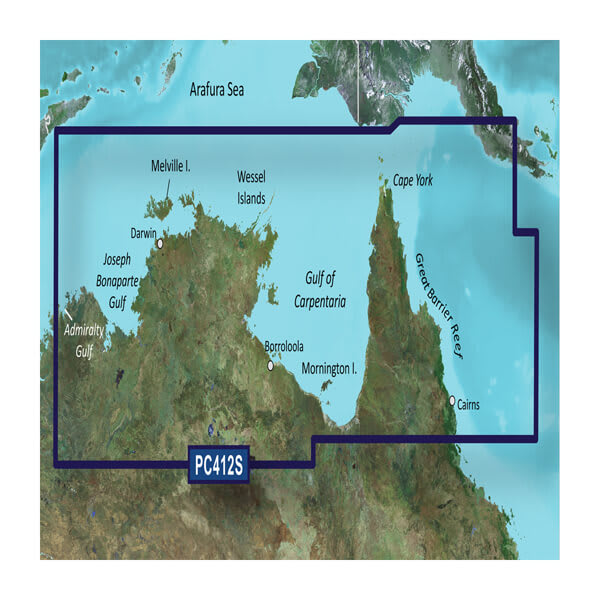
HXPC412S-Admiralty Gulf WA to Cairns
$139.00 Add to cartOverview
Our Premium Chart Offering
- Derived from official charts and private sources to provide navigational aids, spot soundings, depth contours, tides and currents, and detailed harbors and marinas
- Garmin Auto Guidance technology shows a suggested route to a destination¹
- Depth Range Shading for up to 10 depth ranges enables you to view your target depth at a glance
- Up to 1-foot contours provide a more accurate depiction of the bottom structure for improved fishing charts and navigation
- Shallow Water Shading feature allows for depth shading at a user-defined level to aid in navigation
- Unique 3D views like MarinerEye and FishEye provide additional perspective both above and below the water line
- High-resolution satellite imagery of ports, marinas, bridges and navigational landmarks for superior situational awareness
- Worldwide coverage available
- Keep your charts up to date with our industry-leading New Chart Guarantee and discount card update program
Get a Fresh Perspective
Get a fresh perspective when you take to the water with BlueChart® g3 Vision®. With BlueChart g3 Vision data, you’ll get detailed marine cartography that provides convenient viewing of nautical content and other premium features. BlueChart g3 Vision allows you to see your vessel’s precise, on-chart position in relation to naviads, coastal features, anchorages, obstructions, waterways, restricted areas and more. You will also have access to detailed mapping capabilities that include Safety Shading, Fishing Charts, smooth data transition between zoom levels, harmonious transition across chart borders, and reduction of chart discontinuities. Premium features include 3-D perspective above and below the waterline, Auto Guidance, high-resolution imagery, and “real picture” aerial photos of ports, harbors, marinas, waterways, landmarks and other points of interest. It’s the most realistic mapping display Garmin has ever offered.
Click the Products tab to see if this map is compatible with your Garmin device.
-
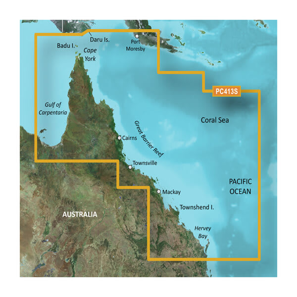
VPC413S-Mornington Is.-Hervey Bay
$319.00 Add to cartOverview
Unparalleled Coastal Chart Coverage
- Provides exceptional coverage, clarity and detail with coastal charts that feature integrated Garmin and Navionics® data
- Auto Guidance¹ technology calculates a route using your desired depth and overhead clearance and provides a suggested path to follow
- Includes depth range shading for up to 10 depth ranges, enabling you to view your target depth at a glance
- Up to 1’ contours provide a more accurate depiction of the bottom structure for improved fishing charts and navigation in swamps, canals and marinas
Experience unparalleled coverage and brilliant detail when you’re on the water with charts that feature integrated Navionics® data, Auto Guidance technology¹ and more.
Auto Guidance Technology
Whether you are fishing or cruising, select a spot, and get a route showing you the general path and nearby obstructions at a safe depth1.
Depth Range Shading
This feature displays high-resolution depth range shading for up to 10 depth ranges so you can view your designated target depth.
Detailed Contours
BlueChart g3 charts feature 1’ contours that provide a more accurate depiction of bottom structure for improved fishing charts and enhanced detail in swamps, canals and port plans.
Shallow Water Shading
To aid in navigation, Shallow Water Shading allows map shading at a user-defined depth to give a clear picture of shallow waters.
¹Auto Guidance is for planning purposes only and does not replace safe navigation practices. Auto Guidance is not included in preloaded BlueChart g3 for ECHOMAP™ Plus series chartplotters
-
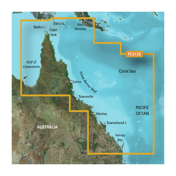
HXPC413S-Mornington Island-Hervey Bay
$139.00 Add to cartOverview
Unparalleled Coastal Chart Coverage
- Provides exceptional coverage, clarity and detail with coastal charts that feature integrated Garmin and Navionics® data
- Auto Guidance¹ technology calculates a route using your desired depth and overhead clearance and provides a suggested path to follow
- Includes depth range shading for up to 10 depth ranges, enabling you to view your target depth at a glance
- Up to 1’ contours provide a more accurate depiction of the bottom structure for improved fishing charts and navigation in swamps, canals and marinas
Experience unparalleled coverage and brilliant detail when you’re on the water with charts that feature integrated Navionics® data, Auto Guidance technology¹ and more.
Auto Guidance Technology
Whether you are fishing or cruising, select a spot, and get a route showing you the general path and nearby obstructions at a safe depth1.
Depth Range Shading
This feature displays high-resolution depth range shading for up to 10 depth ranges so you can view your designated target depth.
Detailed Contours
BlueChart g3 charts feature 1’ contours that provide a more accurate depiction of bottom structure for improved fishing charts and enhanced detail in swamps, canals and port plans.
Shallow Water Shading
To aid in navigation, Shallow Water Shading allows map shading at a user-defined depth to give a clear picture of shallow waters.
¹Auto Guidance is for planning purposes only and does not replace safe navigation practices. Auto Guidance is not included in preloaded BlueChart g3 for ECHOMAP™ Plus series chartplotters
-
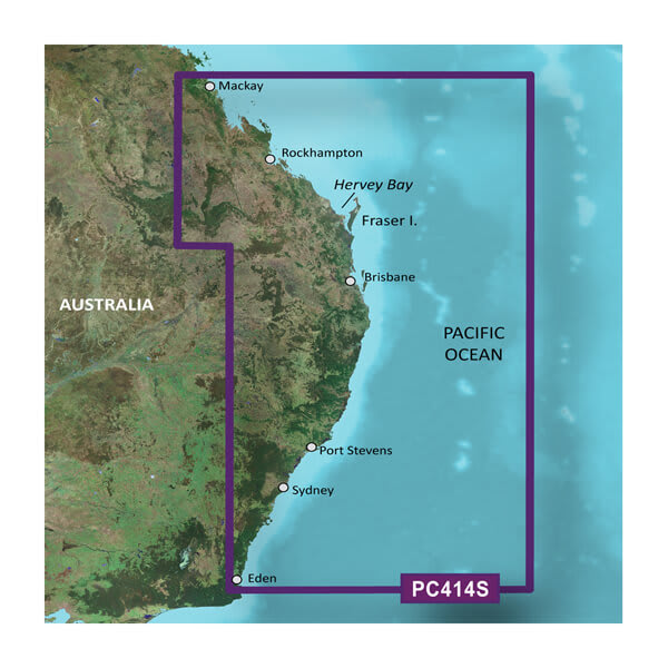
VPC414S-Mackay to Twofold Bay
$319.00 Add to cartOverview
Unparalleled Coastal Chart Coverage
- Provides exceptional coverage, clarity and detail with coastal charts that feature integrated Garmin and Navionics® data
- Auto Guidance¹ technology calculates a route using your desired depth and overhead clearance and provides a suggested path to follow
- Includes depth range shading for up to 10 depth ranges, enabling you to view your target depth at a glance
- Up to 1’ contours provide a more accurate depiction of the bottom structure for improved fishing charts and navigation in swamps, canals and marinas
Experience unparalleled coverage and brilliant detail when you’re on the water with charts that feature integrated Navionics® data, Auto Guidance technology¹ and more.
Auto Guidance Technology
Whether you are fishing or cruising, select a spot, and get a route showing you the general path and nearby obstructions at a safe depth1.
Depth Range Shading
This feature displays high-resolution depth range shading for up to 10 depth ranges so you can view your designated target depth.
Detailed Contours
BlueChart g3 charts feature 1’ contours that provide a more accurate depiction of bottom structure for improved fishing charts and enhanced detail in swamps, canals and port plans.
Shallow Water Shading
To aid in navigation, Shallow Water Shading allows map shading at a user-defined depth to give a clear picture of shallow waters.
¹Auto Guidance is for planning purposes only and does not replace safe navigation practices. Auto Guidance is not included in preloaded BlueChart g3 for ECHOMAP™ Plus series chartplotters
-
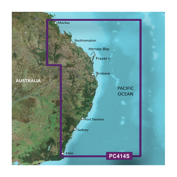
HXPC414S-Mackay to Twofold Bay
$129.00 Add to cartOverview
Unparalleled Coastal Chart Coverage
- Provides exceptional coverage, clarity and detail with coastal charts that feature integrated Garmin and Navionics® data
- Auto Guidance¹ technology calculates a route using your desired depth and overhead clearance and provides a suggested path to follow
- Includes depth range shading for up to 10 depth ranges, enabling you to view your target depth at a glance
- Up to 1’ contours provide a more accurate depiction of the bottom structure for improved fishing charts and navigation in swamps, canals and marinas
Experience unparalleled coverage and brilliant detail when you’re on the water with charts that feature integrated Navionics® data, Auto Guidance technology¹ and more.
Auto Guidance Technology
Whether you are fishing or cruising, select a spot, and get a route showing you the general path and nearby obstructions at a safe depth1.
Depth Range Shading
This feature displays high-resolution depth range shading for up to 10 depth ranges so you can view your designated target depth.
Detailed Contours
BlueChart g3 charts feature 1’ contours that provide a more accurate depiction of bottom structure for improved fishing charts and enhanced detail in swamps, canals and port plans.
Shallow Water Shading
To aid in navigation, Shallow Water Shading allows map shading at a user-defined depth to give a clear picture of shallow waters.
¹Auto Guidance is for planning purposes only and does not replace safe navigation practices. Auto Guidance is not included in preloaded BlueChart g3 for ECHOMAP™ Plus series chartplotters
-
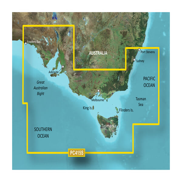
VPC415S-Port Stephens-Fowlers Bay
$319.00 Add to cartOverview
Unparalleled Coastal Chart Coverage
- Provides exceptional coverage, clarity and detail with coastal charts that feature integrated Garmin and Navionics® data
- Auto Guidance¹ technology calculates a route using your desired depth and overhead clearance and provides a suggested path to follow
- Includes depth range shading for up to 10 depth ranges, enabling you to view your target depth at a glance
- Up to 1’ contours provide a more accurate depiction of the bottom structure for improved fishing charts and navigation in swamps, canals and marinas
Experience unparalleled coverage and brilliant detail when you’re on the water with charts that feature integrated Navionics® data, Auto Guidance technology¹ and more.
Auto Guidance Technology
Whether you are fishing or cruising, select a spot, and get a route showing you the general path and nearby obstructions at a safe depth1.
Depth Range Shading
This feature displays high-resolution depth range shading for up to 10 depth ranges so you can view your designated target depth.
Detailed Contours
BlueChart g3 charts feature 1’ contours that provide a more accurate depiction of bottom structure for improved fishing charts and enhanced detail in swamps, canals and port plans.
Shallow Water Shading
To aid in navigation, Shallow Water Shading allows map shading at a user-defined depth to give a clear picture of shallow waters.
¹Auto Guidance is for planning purposes only and does not replace safe navigation practices. Auto Guidance is not included in preloaded BlueChart g3 for ECHOMAP™ Plus series chartplotters
-
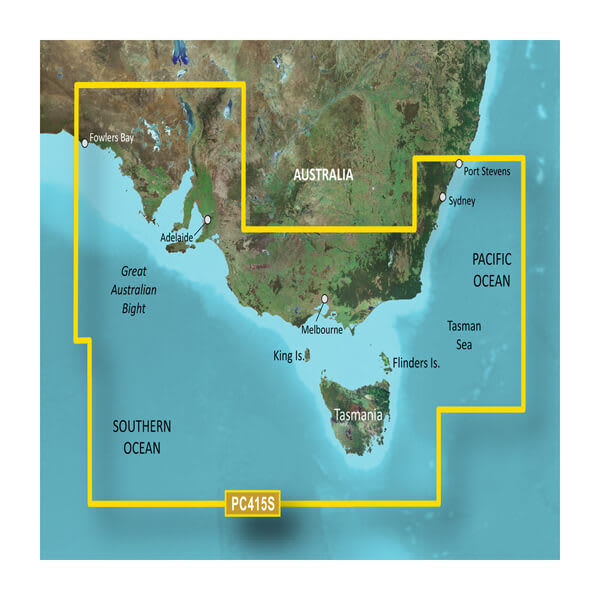
HXPC415S-Port Stephens-Fowlers Bay
$139.00 Add to cartOverview
Unparalleled Coastal Chart Coverage
- Provides exceptional coverage, clarity and detail with coastal charts that feature integrated Garmin and Navionics® data
- Auto Guidance¹ technology calculates a route using your desired depth and overhead clearance and provides a suggested path to follow
- Includes depth range shading for up to 10 depth ranges, enabling you to view your target depth at a glance
- Up to 1’ contours provide a more accurate depiction of the bottom structure for improved fishing charts and navigation in swamps, canals and marinas
Experience unparalleled coverage and brilliant detail when you’re on the water with charts that feature integrated Navionics® data, Auto Guidance technology¹ and more.
Auto Guidance Technology
Whether you are fishing or cruising, select a spot, and get a route showing you the general path and nearby obstructions at a safe depth1.
Depth Range Shading
This feature displays high-resolution depth range shading for up to 10 depth ranges so you can view your designated target depth.
Detailed Contours
BlueChart g3 charts feature 1’ contours that provide a more accurate depiction of bottom structure for improved fishing charts and enhanced detail in swamps, canals and port plans.
Shallow Water Shading
To aid in navigation, Shallow Water Shading allows map shading at a user-defined depth to give a clear picture of shallow waters.
¹Auto Guidance is for planning purposes only and does not replace safe navigation practices. Auto Guidance is not included in preloaded BlueChart g3 for ECHOMAP™ Plus series chartplotters
-
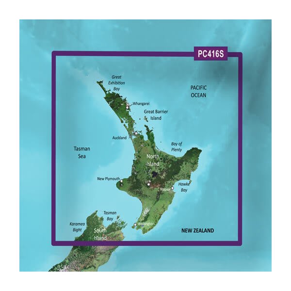
VPC416S-New Zealand North
$319.00 Add to cartOverview
Unparalleled Coastal Chart Coverage
- Provides exceptional coverage, clarity and detail with coastal charts that feature integrated Garmin and Navionics® data
- Auto Guidance¹ technology calculates a route using your desired depth and overhead clearance and provides a suggested path to follow
- Includes depth range shading for up to 10 depth ranges, enabling you to view your target depth at a glance
- Up to 1’ contours provide a more accurate depiction of the bottom structure for improved fishing charts and navigation in swamps, canals and marinas
Experience unparalleled coverage and brilliant detail when you’re on the water with charts that feature integrated Navionics® data, Auto Guidance technology¹ and more.
Auto Guidance Technology
Whether you are fishing or cruising, select a spot, and get a route showing you the general path and nearby obstructions at a safe depth1.
Depth Range Shading
This feature displays high-resolution depth range shading for up to 10 depth ranges so you can view your designated target depth.
Detailed Contours
BlueChart g3 charts feature 1’ contours that provide a more accurate depiction of bottom structure for improved fishing charts and enhanced detail in swamps, canals and port plans.
Shallow Water Shading
To aid in navigation, Shallow Water Shading allows map shading at a user-defined depth to give a clear picture of shallow waters.
¹Auto Guidance is for planning purposes only and does not replace safe navigation practices. Auto Guidance is not included in preloaded BlueChart g3 for ECHOMAP™ Plus series chartplotters
-
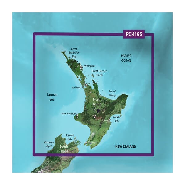
HXPC416S-New Zealand North
$139.00 Add to cartOverview
Unparalleled Coastal Chart Coverage
- Provides exceptional coverage, clarity and detail with coastal charts that feature integrated Garmin and Navionics® data
- Auto Guidance¹ technology calculates a route using your desired depth and overhead clearance and provides a suggested path to follow
- Includes depth range shading for up to 10 depth ranges, enabling you to view your target depth at a glance
- Up to 1’ contours provide a more accurate depiction of the bottom structure for improved fishing charts and navigation in swamps, canals and marinas
Experience unparalleled coverage and brilliant detail when you’re on the water with charts that feature integrated Navionics® data, Auto Guidance technology¹ and more.
Auto Guidance Technology
Whether you are fishing or cruising, select a spot, and get a route showing you the general path and nearby obstructions at a safe depth1.
Depth Range Shading
This feature displays high-resolution depth range shading for up to 10 depth ranges so you can view your designated target depth.
Detailed Contours
BlueChart g3 charts feature 1’ contours that provide a more accurate depiction of bottom structure for improved fishing charts and enhanced detail in swamps, canals and port plans.
Shallow Water Shading
To aid in navigation, Shallow Water Shading allows map shading at a user-defined depth to give a clear picture of shallow waters.
¹Auto Guidance is for planning purposes only and does not replace safe navigation practices. Auto Guidance is not included in preloaded BlueChart g3 for ECHOMAP™ Plus series chartplotters
-
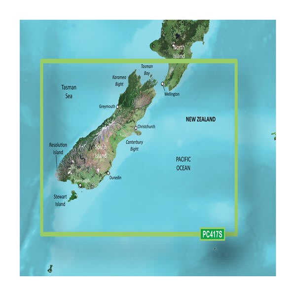
VPC417S-New Zealand South
$319.00 Add to cartOverview
Our Premium Chart Offering
- Derived from official charts and private sources to provide navigational aids, spot soundings, depth contours, tides and currents, and detailed harbors and marinas
- Garmin Auto Guidance technology shows a suggested route to a destination¹
- Depth Range Shading for up to 10 depth ranges enables you to view your target depth at a glance
- Up to 1-foot contours provide a more accurate depiction of the bottom structure for improved fishing charts and navigation
- Shallow Water Shading feature allows for depth shading at a user-defined level to aid in navigation
- Unique 3D views like MarinerEye and FishEye provide additional perspective both above and below the water line
- High-resolution satellite imagery of ports, marinas, bridges and navigational landmarks for superior situational awareness
- Worldwide coverage available
- Keep your charts up to date with our industry-leading New Chart Guarantee and discount card update program
Get a Fresh Perspective
Get a fresh perspective when you take to the water with BlueChart® g3 Vision®. With BlueChart g3 Vision data, you’ll get detailed marine cartography that provides convenient viewing of nautical content and other premium features. BlueChart g3 Vision allows you to see your vessel’s precise, on-chart position in relation to naviads, coastal features, anchorages, obstructions, waterways, restricted areas and more. You will also have access to detailed mapping capabilities that include Safety Shading, Fishing Charts, smooth data transition between zoom levels, harmonious transition across chart borders, and reduction of chart discontinuities. Premium features include 3-D perspective above and below the waterline, Auto Guidance, high-resolution imagery, and “real picture” aerial photos of ports, harbors, marinas, waterways, landmarks and other points of interest. It’s the most realistic mapping display Garmin has ever offered.
Click the Products tab to see if this map is compatible with your Garmin device.
-
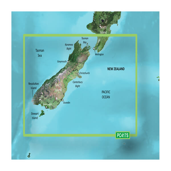
HXPC417S-New Zealand South
$139.00 Add to cartOverview
Our Premium Chart Offering
- Derived from official charts and private sources to provide navigational aids, spot soundings, depth contours, tides and currents, and detailed harbors and marinas
- Garmin Auto Guidance technology shows a suggested route to a destination¹
- Depth Range Shading for up to 10 depth ranges enables you to view your target depth at a glance
- Up to 1-foot contours provide a more accurate depiction of the bottom structure for improved fishing charts and navigation
- Shallow Water Shading feature allows for depth shading at a user-defined level to aid in navigation
- Unique 3D views like MarinerEye and FishEye provide additional perspective both above and below the water line
- High-resolution satellite imagery of ports, marinas, bridges and navigational landmarks for superior situational awareness
- Worldwide coverage available
- Keep your charts up to date with our industry-leading New Chart Guarantee and discount card update program
Get a Fresh Perspective
Get a fresh perspective when you take to the water with BlueChart® g3 Vision®. With BlueChart g3 Vision data, you’ll get detailed marine cartography that provides convenient viewing of nautical content and other premium features. BlueChart g3 Vision allows you to see your vessel’s precise, on-chart position in relation to naviads, coastal features, anchorages, obstructions, waterways, restricted areas and more. You will also have access to detailed mapping capabilities that include Safety Shading, Fishing Charts, smooth data transition between zoom levels, harmonious transition across chart borders, and reduction of chart discontinuities. Premium features include 3-D perspective above and below the waterline, Auto Guidance, high-resolution imagery, and “real picture” aerial photos of ports, harbors, marinas, waterways, landmarks and other points of interest. It’s the most realistic mapping display Garmin has ever offered.
Click the Products tab to see if this map is compatible with your Garmin device.