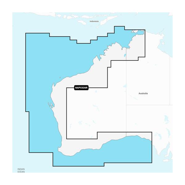
PC026R - Australia, West - Marine Charts
Overview
INTEGRATED MAPPING FOR A WIDE RANGE OF CHARTPLOTTERS
A comprehensive, all-in-one solution, Navionics+ charts and maps combine clear, reliable coastal/inland content with advanced guidance features and compatibility with a wide range of chartplotter brands.
See it your way. Customise your view with various chart layers and overlay combinations.
Selectable map options let you highlight shallow areas, adjust contour density or select a fishing range.
Seamlessly navigate on coastal or inland waters.
ALL-IN-ONE MAP SOLUTION
DAILY CHART UPDATES
DOCK-TO-DOCK ROUTE GUIDANCE
UP TO 0.5 M CONTOURS
ADVANCED MAP OPTIONS
Change the way you view Navionics charts to focus on the details that matter most to you. Highlight shallow areas, adjust contour density, or select a fishing range.
COMMUNITY EDITS
PLOTTER SYNC
SONARCHART™ LIVE MAPPING
Create your own maps on the fly. Watch new 1’ HD bathymetry maps develop in real time as your boat moves through the water.
Add premium features with Navionics Platinum+™ mapping solutions.
RELIEF SHADING
HIGH-RESOLUTION SATELLITE IMAGERY
Aerial photography
Crystal-clear aerial and surface photos of ports, marinas, bridges, docks, boat ramps, dams and navigational landmarks provide a better sense of your surroundings above the waterline.